last edited Dec 11, 2019
Overview of Honduras
Location Map of Honduras
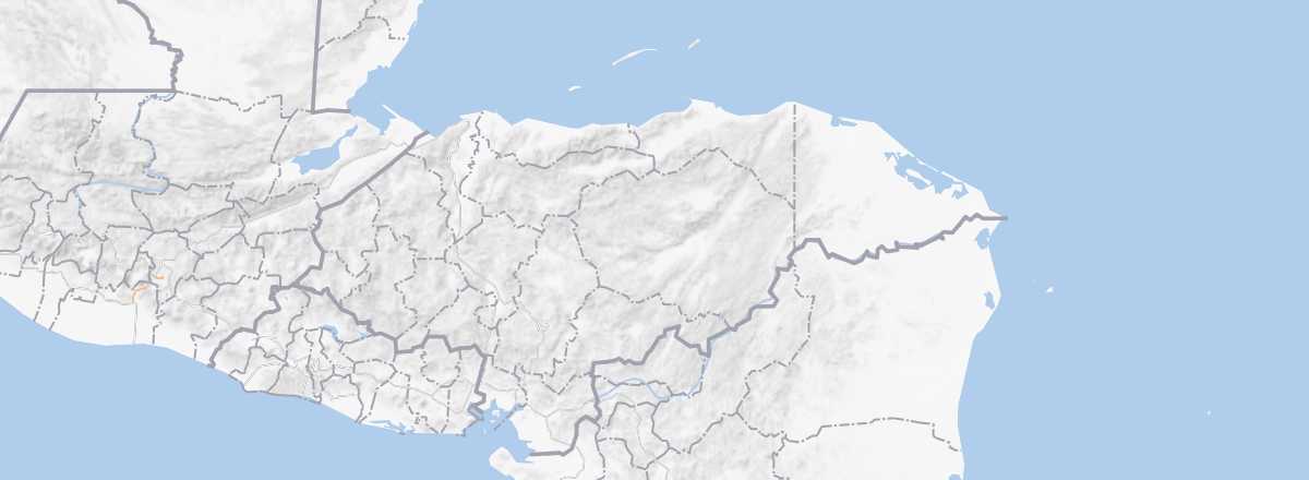 Honduras
Open the interactive map
Quick Overview
Honduras can be divided into four distinct zones: a mountainous region (under 2,870 m) with numerous high valleys covering more than two-thirds of the country; a plain area (around San Pedro Sula) covered with palm trees and beaches facing the Caribbean Sea; offshore, a string of islands and islets (Islas de la Bahía); and finally, an inhospitable region in the east, La Mosquitia, made up of forests and mangroves.
Key Facts
- Type of place: country.
- Latitude/longitude: 15.00' N, 86.30' W.
- Local time:
- Capital: Tegucigalpa.
- Nature of the state: parliamentary republic.
- Official language: Spanish.
- Currency: lempira.
- Population: 9,182,766 inhabitants (2018).
- Area: 112,090 km².
- Density: 84 inhabitants/km².
- Highest point: Cerro Las Minas (2,870 m).
- Lowest point: sea level.
- Coastline: 832 km (Caribbean: 669 km, Pacific: 163 km).
- Driving: on the right.
Tourism
With fewer than one million tourists each year (865,000 in 2018), Honduras is one of the least visited countries in the region. And even then, the vast majority of travelers only visit the Mayan site of Copan near the Guatemalan border or take a beach holiday on the Bay Islands, particularly Roatán.
In short, outside of these places (which are also the safest), tourism is almost nonexistent in Honduras, even though the country has other attractions that are not necessarily well-known or promoted, particularly in ecotourism. That said, the widespread insecurity in the country does not help foster tourism; Honduras remains the country with the highest crime rate in the world...
Essentials for Travel
- Destination: for slightly experienced travelers/confirmed travelers (outside the islands and Copán).
- By air: France-San Pedro Sula for 580 to 900 € round trip.
- Entry requirements: passport.
- Currency to bring: US dollar.
- Exchange rate:
- Daily "backpacker" budget: from 25 to 35 € per person.
- Best for accommodation:
- Best for getting around:
- Risks: moderate health risks and moderate (islands and Copán) to high/very high (elsewhere) security risks.
- Best period for climate/crowds/prices: February to early May is good for the whole country, especially Roatán and the other islands.
- Interests (out of ): Nature ; Adventure ; Culture ; Relaxation-holidays .
Addresses in France
- Tourist Office: online only.
- Latin America House: 217 bd Saint-Germain, 75007 Paris. Tel.: +33 1 49 54 75 00.
Addresses in Belgium, Switzerland, and Quebec
Socio-Economic Statistics
- "Quality of life": 133/188 (2018 ranking)
- GDP per capita: $5,600 (2017)
- Average monthly income: $190 (2014)
- Inflation: +3.9% (2017)
- "Official" unemployment: 5.6% (2017)
- Population below the poverty line: 29.6% (2014)
- Life expectancy: 71.3 years (2018)
- Migration rate per 1,000 inhabitants: -1.1 (2017)
- Population growth: 1.56% (2018)
- Literacy rate: 88.5% (2015)
- Urban population: 57.1% (2018)
- Press freedom: 141/180 (2018 ranking)
- Political regime: hybrid regime (85/167 in 2018)
Sources: World Bank, Human Development Indicators, RSF, The Economist, The World Factbook