last edited Jul 28, 2020
Overview of La Palma
Location Map of La Palma
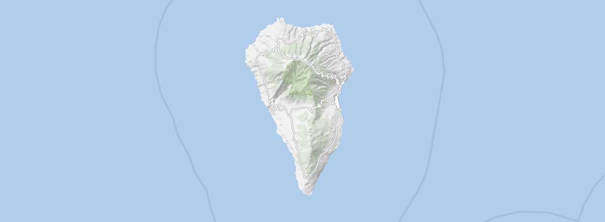 La Palma
Open the interactive map
Overview of La Palma
This is the most forested of the Canary Islands, with a rather beautiful natural heritage, part of which is a national park. In scientific circles, it is known for hosting several telescopes and space observation instruments. Its capital is Santa Cruz de La Palma, though this is not the island’s largest urban area, which is Los Llanos de Aridane.
Key Facts
- Type of place: island.
- Location: northwest of Tenerife.
- Latitude/longitude: 28.40' N, 17.52' W.
- "Capital": Santa Cruz de La Palma.
- Population: 87,200 inhabitants (2011).
- Area: 708 km².
- Density: 123 inhabitants/km².
- Highest point: Roque de los Muchachos (2,426 m).
- Lowest point: sea level.
- Local time: .
- Tourist interest: (worth seeing).
- Website: http://www.visitlapalma.es
History and Culture of La Palma
What to See and Do
Climate and Weather of La Palma
The island has a mild climate but also sees significant rainfall in autumn and winter. This rainfall, combined with its rugged terrain, is what gives rise to the forests covering part of the island, making La Palma the most forested of all the Canary Islands.
Sea Temperature Throughout the Year
| Jan. | Feb. | Mar. | Apr. | May | Jun. | Jul. | Aug. | Sep. | Oct. | Nov. | Dec. | |
|---|---|---|---|---|---|---|---|---|---|---|---|---|
| La Palma | 19 | 18 | 18 | 19 | 19 | 20 | 21 | 22 | 23 | 22 | 21 | 19 |