last edited Jul 28, 2020
Overview of Lanzarote
Location Map of Lanzarote
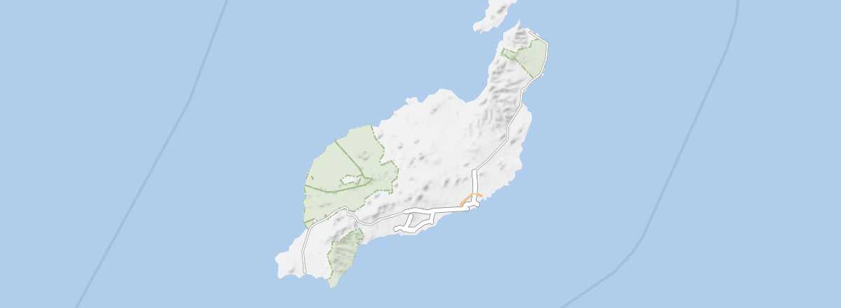 Lanzarote
Open the interactive map
Lanzarote
Open the interactive map
Overview of Lanzarote
Lanzarote boasts a very rich natural heritage, particularly the Timanfaya National Park. It is also one of the main tourist destinations in the archipelago thanks to its beaches and major seaside resorts, as well as a holiday spot for many Germans and Brits.
Key Facts
- Type of place: island.
- Location: It is the easternmost island in the Canary archipelago.
- Latitude/longitude: 29.02' N, 13.37' W.
- "Capital": Arrecife.
- Population: 142,500 inhabitants (2011).
- Area: 846 km².
- Density: 168 inhabitants/km².
- Highest point: Peñas del Chache (670 m).
- Lowest point: sea level.
- Local time: .
- Tourist interest: (must-see or highly recommended).
- Website: http://www.turismolanzarote.com
History and Culture of Lanzarote
Climate and Weather of Lanzarote
The island’s climate is quite pleasant, thanks in part to the almost constant winds and its low relief, which does not exceed 700 m. Additionally, rainfall is lower here than on the other islands in the archipelago. However, note that in summer the sirocco (locally called calima) can blow fiercely, creating sandstorms and pushing up temperatures.
Sea Temperature Throughout the Year
| Jan. | Feb. | Mar. | Apr. | May | Jun. | Jul. | Aug. | Sep. | Oct. | Nov. | Dec. | |
|---|---|---|---|---|---|---|---|---|---|---|---|---|
| Lanzarote | 19 | 18 | 18 | 19 | 19 | 20 | 21 | 22 | 23 | 22 | 21 | 19 |