last edited Dec 11, 2019
Overview of Tangier
Location Map of Tangier
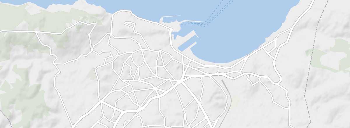 Tangier
Open the interactive map
Tangier
Open the interactive map
Overview of the City
Tangier is the country's main maritime gateway, but also a city with a rich history that spans from the Phoenician era to its special status as an international zone in the 1920s–50s.
The Phoenicians founded a trading post and fishing port here 3,000 years ago, which later became the Roman city of Tingis. The Arabs took the city in the 8th century, followed by the Portuguese in the 15th. It once belonged to England’s Charles II. In 1906, Tangier came under the control of eight European powers, while Spain administered the rest of the region. Today, it is the fifth-largest city in the kingdom.
Key Facts
- Type of place: large city.
- Tourist interest: (worth seeing).
- Location: at the northernmost tip of the country, facing the Spain.
- Distances: Fez (310 km to the south), Meknes (260 km to the south), Larache (90 km to the south), Rabat (250 km to the south), Tetouan (60 km to the southeast).
- Population: 947,952 inhabitants (2014).
- Area: 124 km².
- Altitude: sea level.
- Website: https://visittanger.com/
History of Tangier
Precautions
Useful Addresses
- Tourist Office:
Services
- Local agencies:
- Banks:
- Consulates:
-- Belgium: 41 Bd Mohamed V, Résidence Al Waha, 90000 Tangier. Tel.: 539 32 48 47.
-- France: 2 place de France, 90000 Tangier. Tel.: 539 33 96 00.
- Hospital:
- Internet:
- Laundries:
- Vehicle rental:
- Post office: