last edited Jul 28, 2020
Overview of Fuerteventura
Location Map of Fuerteventura
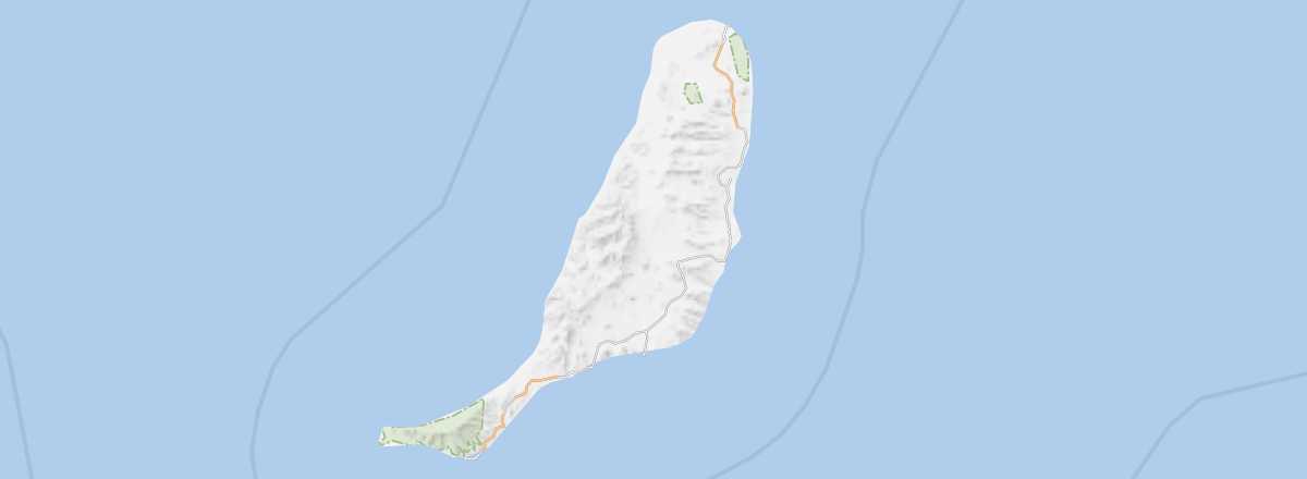 Fuerteventura
Open the interactive map
Overview of Fuerteventura
Fuerteventura is the second-largest island in the Canaries. It’s also where most of the low-cost flights serving the archipelago arrive. The island is part of the province of Las Palmas, and its capital is Puerto del Rosario.
Key facts
- Type of place: island.
- Location: less than a hundred kilometres from the Moroccan coast.
- Latitude/longitude: 28.20' N, 14.01' W.
- "Capital": Puerto del Rosario.
- Population: 104,000 inhabitants (2011).
- Area: 1,660 km².
- Density: 66 inhabitants/km².
- Highest point: Pico de la Zarza (807 m).
- Lowest point: sea level.
- Local time: .
- Tourist interest: (recommended).
- Website: http://visitfuerteventura.es
History and culture of Fuerteventura
Climate and weather in Fuerteventura
Like its neighbour Lanzarote, Fuerteventura enjoys a fairly pleasant climate, thanks in particular to the almost constant winds and its low relief, which barely exceeds 800 m. Rainfall is also quite low. However, in summer, the sirocco (locally called calima) can blow fiercely, creating sandstorms and pushing up temperatures.
Sea temperatures throughout the year
| Jan. | Feb. | Mar. | Apr. | May | Jun. | Jul. | Aug. | Sep. | Oct. | Nov. | Dec. | |
|---|---|---|---|---|---|---|---|---|---|---|---|---|
| Fuerteventura | 19 | 18 | 18 | 19 | 19 | 20 | 21 | 22 | 23 | 22 | 21 | 19 |