★ 2 · last edited Dec 11, 2019
Rif Mountains
Location verified location
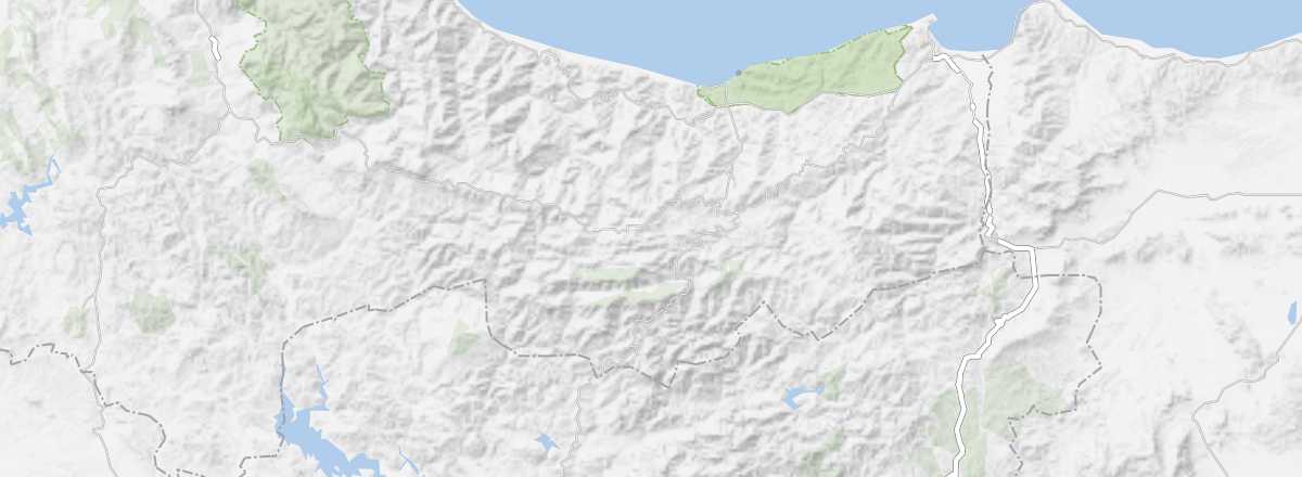 Rif Mountains
Open the interactive map
Rif Mountains
Open the interactive map
This mountain range and plains stretch along the Mediterranean coast from Tangier to the Algerian border. It is increasingly popular for tourism, thanks to its towns and villages and especially the opportunities for trekking and other outdoor sports.
Overview
This mountain range and plains stretch along the Mediterranean coast from Tangier to the Algerian border. It is increasingly popular for tourism, thanks to its towns and villages and especially the opportunities for trekking and other outdoor sports.
Key Facts
- Type of place: mountain range.
- Tourist interest: (worth seeing).
- Features:
- Massif:
- Area: approx. 29,000 km².
- Highest peak: Jbel Tidirhine (2,456 m).
Environment
Wildlife and flora
Precautions
Climate and weather
What to see and do
In the surrounding area
Practical information
- Location:
- Distances:
- Website: