★ 2 · last edited Dec 11, 2019
Saint-Floret
Contributionsversion #1created Dec 11, 2019Report this pageLatest contributions in this guideContributors to this guide
Location verified location
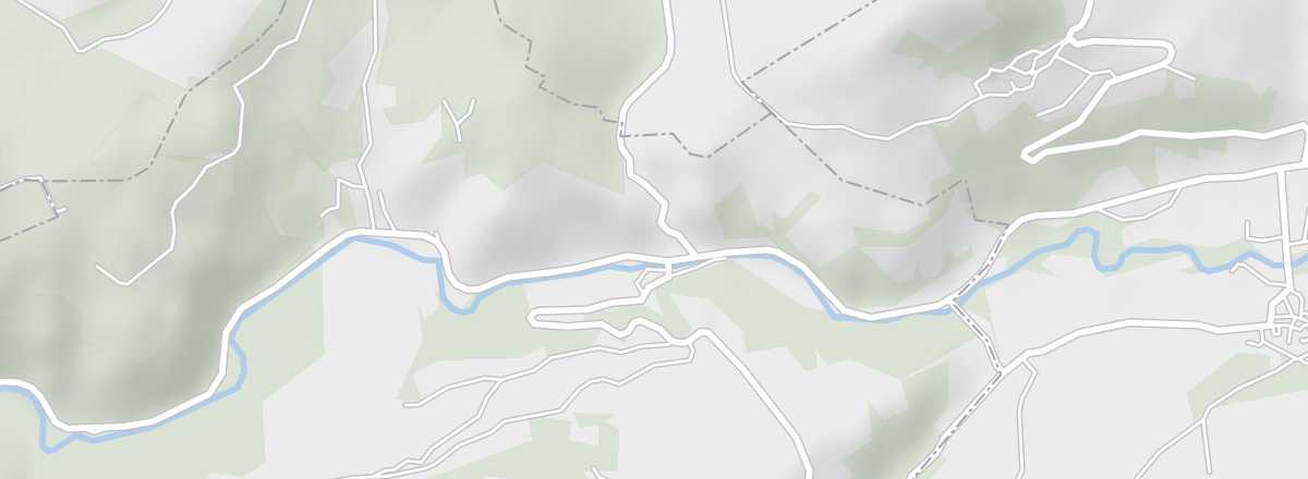 Saint-Floret
Open the interactive map
Saint-Floret
Open the interactive map
A stunning medieval village with pink-tiled houses, once listed among the "Most Beautiful Villages of France".
Overview of Saint-Floret
Saint-Floret is a stunning medieval village with pink-tiled houses, once listed among the "Most Beautiful Villages of France".
Key Details
- Type de lieu: village.
- Intérêt touristique: (worth seeing).
- Localisation: in the southern part of the Puy-de-Dôme department, not far from Issoire.
- Distances:
- Heure locale: .
- Population: 263 inhabitants (2014).
- Superficie: 12.16 km².
- Altitude: from 476 to 929 m.
- Site internet: http://www.saint-floret.fr
History of Saint-Floret
What to See and Do in Saint-Floret
This old village is clustered at the foot of its keep and the few remains of its medieval castle perched on a rocky outcrop, forming a beautiful ensemble once listed among the "Most Beautiful Villages of France".
Saint-Floret Castle
On the outskirts of the village, these are the ruins of a medieval castle built atop a rocky ridge.
On the outskirts of the village, these are the ruins of a medieval castle built atop a rocky ridge.
Chastel Archaeological Site
Near the Chastel church, the site contains an ossuary and anthropomorphic tombs from the Middle Ages.
Near the Chastel church, the site contains an ossuary and anthropomorphic tombs from the Middle Ages.
In the Surrounding Area
Climate and Weather in Saint-Floret
Transportation
Getting There
Getting Around
Accommodation
Dining
Useful Addresses
Further Information
Worth a look / Other
Saint-Floret Castle
★ On the outskirts of the village, these are the ruins of a medieval castle built atop a rocky ridge.
Chastel Archaeological Site
★ Near the Chastel church, the site contains an ossuary and anthropomorphic tombs from the Middle Ages.