★ 1 · last edited Dec 11, 2019
Saint-Omer
Location verified location
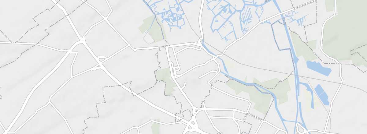 Saint-Omer
Open the interactive map
Saint-Omer
Open the interactive map
East of the Caps et Marais d'Opale park, the sub-prefecture of Pas de Calais boasts a beautiful cathedral and a significant religious heritage.
Overview of Saint-Omer
Saint-Omer is located east of the Regional Nature Park of the Caps and Marais d'Opale. The sub-prefecture of Pas de Calais boasts a beautiful cathedral and a significant religious heritage.
Key facts
- Type of place: small town.
- Tourist interest: (worth a stop if you are in the area).
- Location:
- Distances:
- Local time: .
- Population: 14,164 inhabitants (2014).
- Area: 16.4 km².
- Altitude: 27 m.
- Website: http://www.tourisme-saintomer.com
History of Saint-Omer
What to see and do in Saint-Omer
In the surrounding area
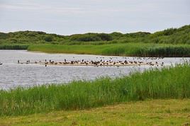
Regional Nature Park of the Caps and Marais d'Opale
Between Boulogne and Saint-Omer, this park blends marsh and bocage landscapes with dune areas and coastal cliffs. You can hike along marked trails or go birdwatching.
Between Boulogne and Saint-Omer, this park blends marsh and bocage landscapes with dune areas and coastal cliffs. You can hike along marked trails or go birdwatching.
Climate and weather in Saint-Omer
Transport
Getting there
Getting around
Accommodation
Food
Useful addresses
Further information
Worth a look / Other
Regional Nature Park of the Caps and Marais d'Opale
★★ Between Boulogne and Saint-Omer, this park blends marsh and bocage landscapes with dune areas and coastal cliffs. You can hike along marked…