★ 1 · last edited Dec 11, 2019
The Downs
Location verified location
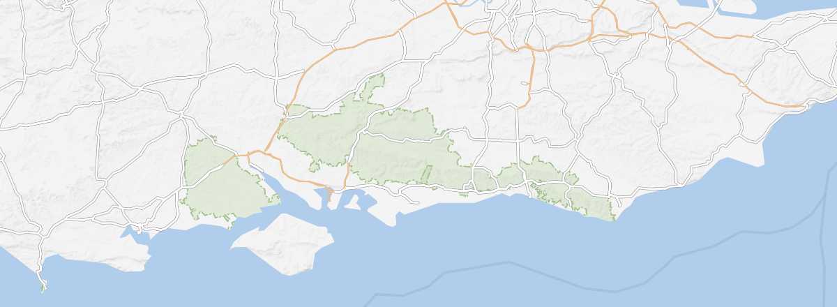 The Downs
Open the interactive map
The Downs
Open the interactive map
A region of rolling hills between London and the English Channel, popular with city residents for its hiking and cycling opportunities.
Overview of The Downs
This is a region of hills (the South and North Downs) between London and the English Channel, popular with London residents for its hiking and cycling opportunities.
Key Features
- Type of place: mountain range.
- Tourist interest: (worth a stop if you are in the area).
- Characteristics:
- Massif:
- Area:
- Highest point: Butser Hill (270 m).
Environment of The Downs
Wildlife and flora
Population and economic activity
Climate and weather
Precautions
What to see
What to do
Practical information
- Location:
- Distances:
- Website:
Getting there
Getting around
Accommodation and dining
Nearby attractions
- == En complément