★ 1 · last edited Aug 18, 2020
Transnistria
Contributionsversion #4created Aug 18, 2020Report this pageLatest contributions in this guideContributors to this guide
Location verified location
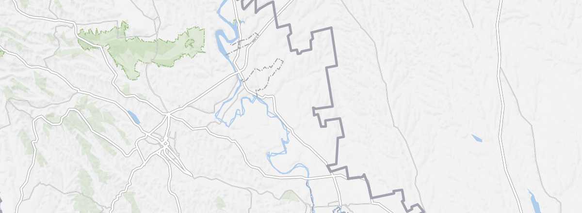 Transnistria
Open the interactive map
Transnistria
Open the interactive map
Between Moldova and Ukraine, this long, narrow territory declared independence in 1990 but is recognized by no one. Transnistria feels like a step back into the USSR era, especially architecturally (Tiraspol), with a few medieval remnants scattered here and there (Bender).
Overview of Transnistria
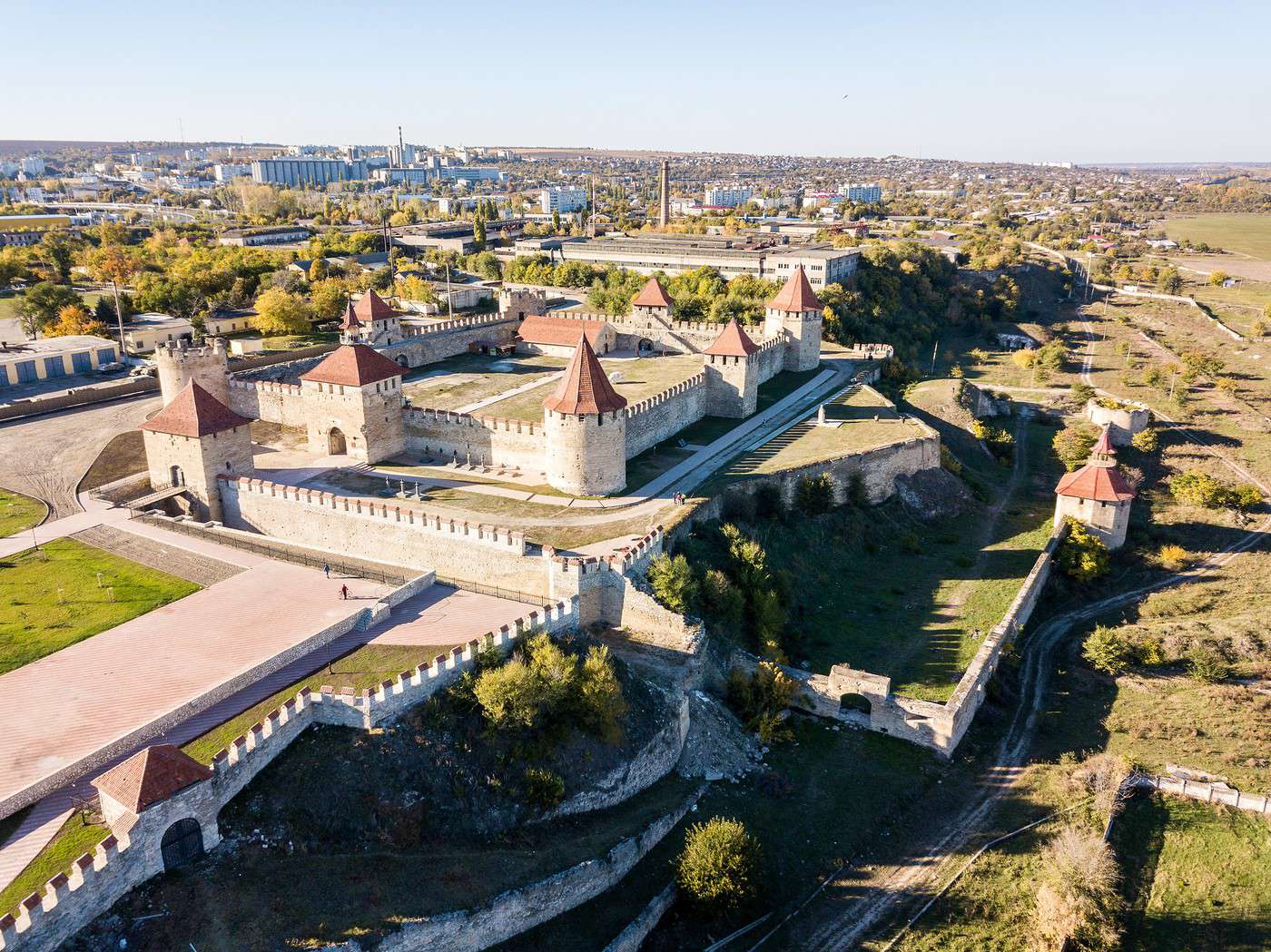
Between Moldova and Ukraine, this long, narrow territory declared independence in 1990 but is recognized by no one. Its "status" remains quite unclear, including its relationship with Moldova. Transnistria feels like a step back into the USSR era, particularly in terms of architecture (Tiraspol), with a few medieval remnants scattered here and there (Bendery).
Key Facts
- Type de lieu: territorial subdivision.
- Intérêt touristique: (worth a stop if you are in the area).
- Localisation:
- Heure locale:
- Capitale: Tiraspol.
- Langues officielles: Moldovan, Russian, and Ukrainian.
- Monnaie: Transnistrian ruble.
- Population: 475,665 inhabitants (2015).
- Superficie: 4,163 km².
- Point le plus haut:
- Point le plus bas:
- Littoral: No maritime access.
- Site internet: