★ 1 · last edited Dec 11, 2019
Vallegrande
Location verified location
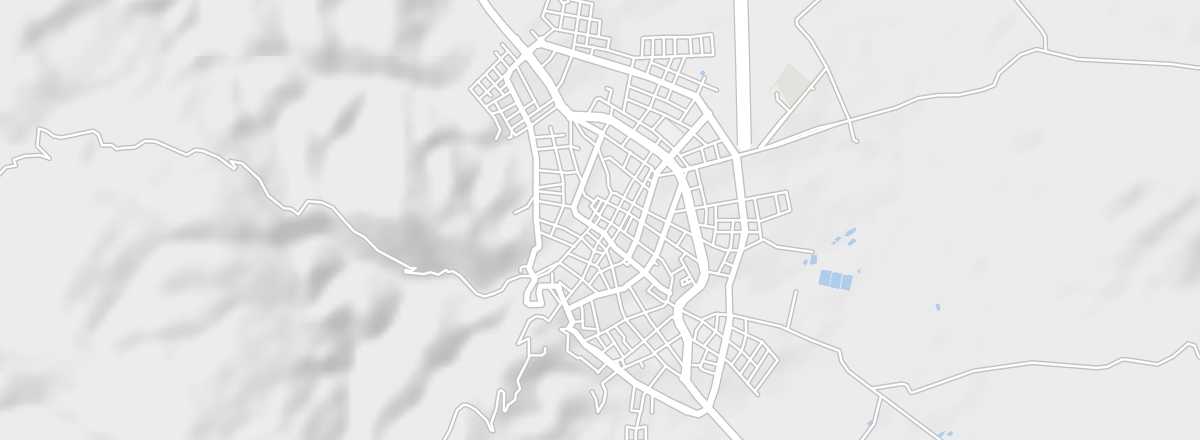 Vallegrande
Open the interactive map
Vallegrande
Open the interactive map
This small colonial-style town at an altitude of 2,000 m is best known as the place where Che Guevara was buried after being executed in 1967 in the nearby village of La Higuera.
Overview of Vallegrande
This small colonial-style town at an altitude of 2,000 m is best known as the place where Che Guevara was buried after being executed in 1967 in the nearby village of La Higuera. It is part of the "Che Guevara Trail".
Key Facts
- Type de lieu: small town.
- Intérêt touristique: (worth a stop if you are in the area).
- Localisation:
- Distances:
- Heure locale: .
- Population: 7,884 inhabitants (2010).
- Superficie: 3.8 km².
- Altitude: 2,030 m.
- Site internet: https://www.boliviaturismo.com.bo/valle-grande.php
History of Vallegrande
What to See and Do in Vallegrande
In the Surrounding Area
Che Guevara Trail
This tourist route lets you follow Che Guevara’s final "adventures" in Bolivia across around ten locations between Sucre and Santa Cruz.
This tourist route lets you follow Che Guevara’s final "adventures" in Bolivia across around ten locations between Sucre and Santa Cruz.
Climate and Weather in Vallegrande
Transportation
Getting There
Getting Around
Accommodation
Food
Useful Addresses
Further Information
Worth a look / Other
Che Guevara Trail
★ This tourist route lets you follow Che Guevara’s final "adventures" in Bolivia across around ten locations between Sucre and Santa…