


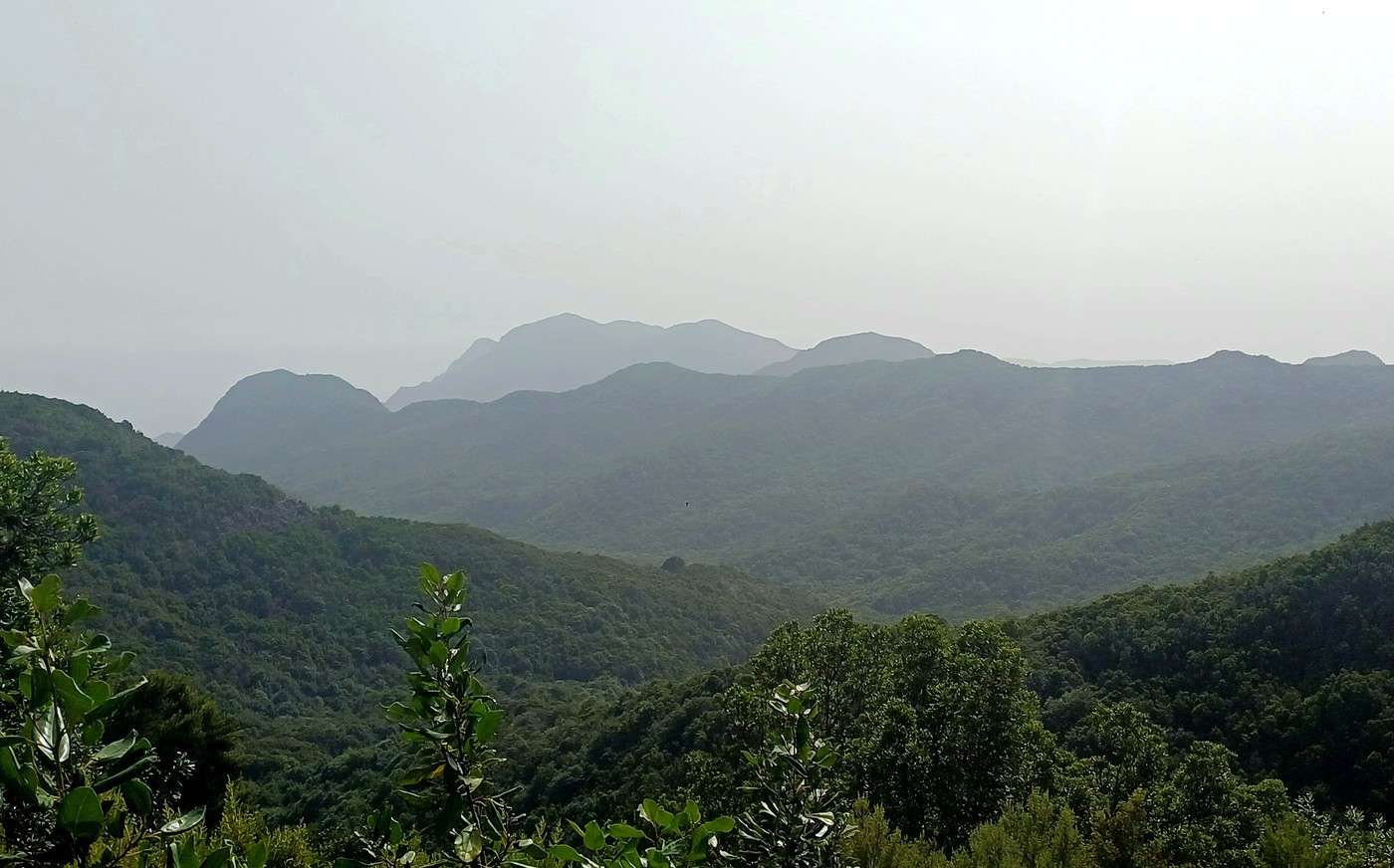
Day 5, Friday, August 1st: Valle Gran Rey/La Calera, Garajonay Natural Park (El Contadero-El Cedro trail), Valle Gran Rey/La Calera
We’re especially excited about today because we’ve planned one of the highlights of this trip: a long hike through the Garajonay Natural Park. The cool, humid microclimate of the large basin formed by the peaks at the center of La Gomera has allowed this unique forest to emerge—actually, a collection of forests grouped under the name Garajonay National Park (named after the island’s highest point), recognized as a UNESCO World Heritage Site and a global biosphere reserve. This laurel forest (a subtropical forest of endemic laurels from the Macaronesia islands: Azores, Madeira, Canaries, and Cape Verde) is the best preserved of its kind. To fuel up, Magali made Canarian pancakes with gofio, which we drizzled with palm honey and devoured like the Guanches.
As usual, we take the only road out of Valle Gran Rey, which climbs steeply past the villages of El Guro at 150 meters, Las Granadas at 300, the two viewpoints at Curva del Queso at 600, La Retama at 800, the two tunnels that follow, and Arure at 850 meters, where we turn toward the center of the island via the charming little village of Las Hayas at 1,000 meters, which really draws us in. So many incredible views of the Valle del Gran Rey, the dizzying ridges, and the ocean. The road continues to climb, becoming more wooded, then plunges into the dense forest as we enter Garajonay Park. We push on to the Pajarito parking lot at 1,250 meters (25 kilometers in 40 minutes), where La Gomera Travel says our chosen hike starts.
We start looking for our trail. There are several, but not the one we want. Contrary to the info on the website, it doesn’t seem to be here. We finally spot a sign indicating that the El Contadero starting point, where our route passes, is a kilometer back. We backtrack to El Contadero, which actually has its own parking lot. We don’t understand why La Gomera Travel suggests parking at Pajarito to walk a kilometer on the main paved road when we could’ve parked right here. Oh well, we’ve found our path. The explanatory sign confirms the El Contadero-El Cedro trail is 6 kilometers, with a 13-kilometer loop. That makes 15 kilometers round-trip from the Pajarito parking lot. We’ll see how it goes!
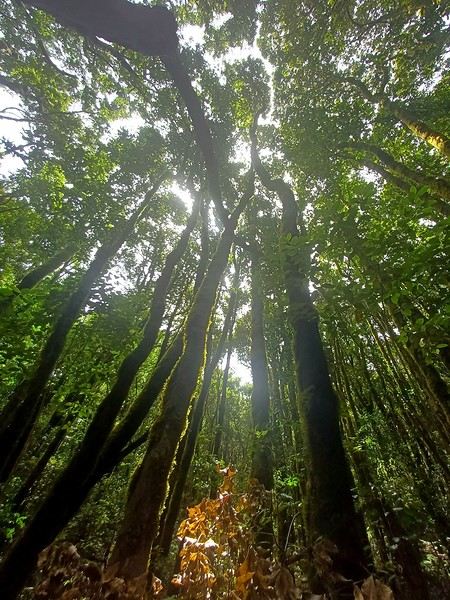
Good news for the start: the small dirt path is steep since we’re descending from the top of the park into its valley. Already, a viewpoint offers a plunging panorama of the laurel canopy, where the tallest laurel groups rise to about thirty meters. From the first few meters, we’re immersed in the lush setting of this mass of laurels with their gnarled branches sometimes blocking the path, covered in lichen and vine-like brambles, along with fayal-brezal shrubs and a carpet of ferns.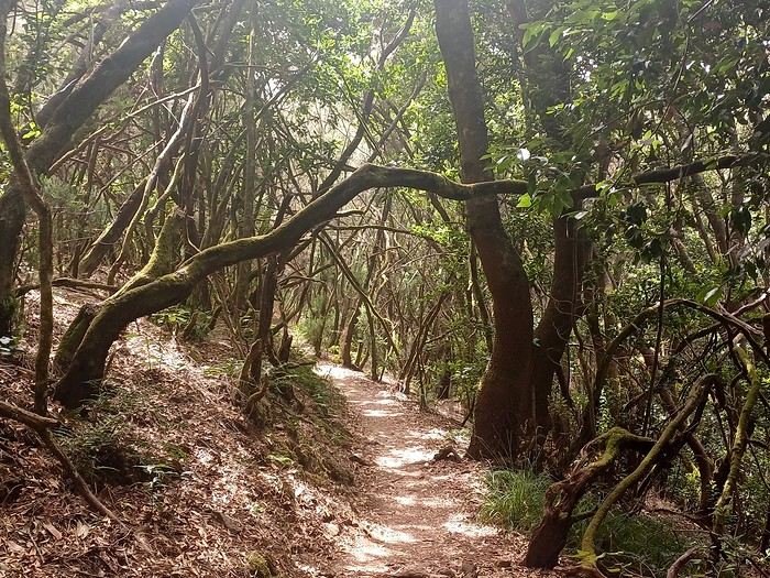
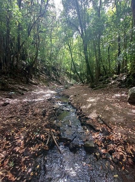
We’re literally in a European forest that strongly resembles Brocéliande, or parts of southern France. It’s already a bit warm, and the hike is making us sweat. However, we feel a hint of coolness in the shade of this dense laurel concentration, which subtly filters the sunlight to create an impressionist masterpiece on the ground.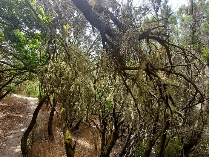
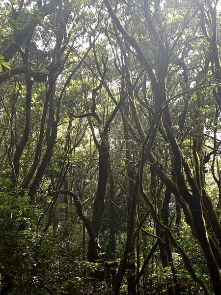
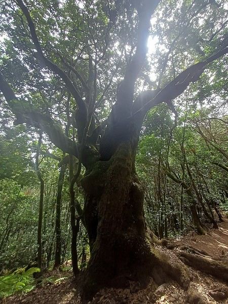
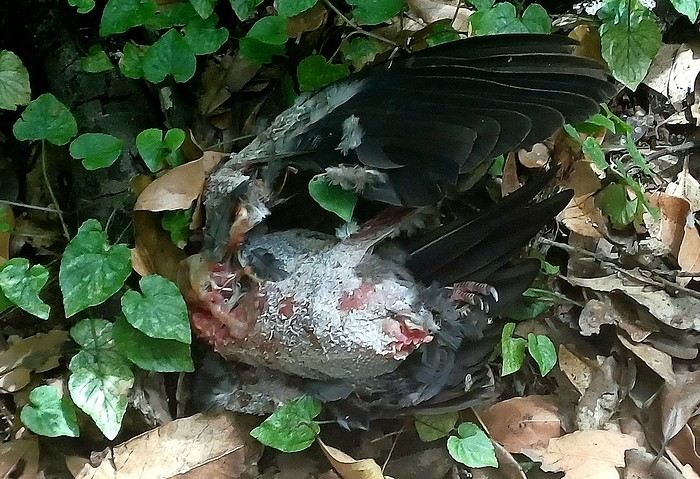
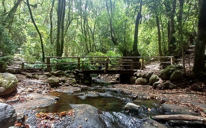
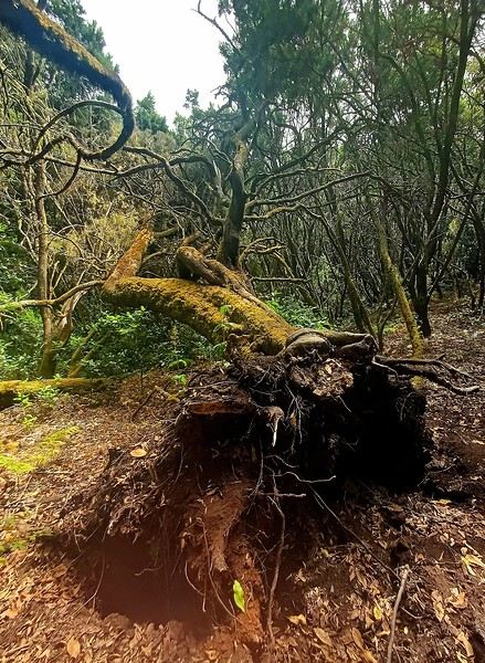 Despite the downhill walk, we realize by checking our position on Google Maps that we’re making slow progress. The steep descent requires careful steps, straining our thighs and knees. Plus, Théo isn’t having a great day and keeps stopping to ask to be carried. We cross paths with a few hikers going the opposite direction, often French—we clearly share the same interests! After an hour of walking, we hear the sound of flowing water. Yes, there’s a river, the first (and last) watercourse we’ll see on La Gomera! Our trail now follows the riverbed, keeping us company. A freshly plucked laurel pigeon carcass proves there are predators in this forest, where, unlike the flora, the fauna doesn’t show itself much. A little further on, a milestone indicates we’re in the area of the hamlet of El Cedro, but there’s still some way to go before we get there.
 Half an hour later, we reach a small wooden bridge that diverts to another trail. The river is accessible, and we take a welcome break to soak our feet and cool off.
We’re especially excited about today because we’ve planned one of the highlights of this trip: a long hike through the Garajonay Natural Park. The cool, humid microclimate of the large basin formed by the peaks at the center of La Gomera has allowed this unique forest to emerge—actually, a collection of forests grouped under the name Garajonay National Park (named after the island’s highest point), recognized as a UNESCO World Heritage Site and a global biosphere reserve. This laurel forest (a subtropical forest of endemic laurels from the Macaronesia islands: Azores, Madeira, Canaries, and Cape Verde) is the best preserved of its kind. To fuel up, Magali made Canarian pancakes with gofio, which we drizzled with palm honey and devoured like the Guanches.
As usual, we take the only road out of Valle Gran Rey, which climbs steeply past the villages of El Guro at 150 meters, Las Granadas at 300, the two viewpoints at Curva del Queso at 600, La Retama at 800, the two tunnels that follow, and Arure at 850 meters, where we turn toward the center of the island via the charming little village of Las Hayas at 1,000 meters, which really draws us in. So many incredible views of the Valle del Gran Rey, the dizzying ridges, and the ocean. The road continues to climb, becoming more wooded, then plunges into the dense forest as we enter Garajonay Park. We push on to the Pajarito parking lot at 1,250 meters (25 kilometers in 40 minutes), where La Gomera Travel says our chosen hike starts.
We start looking for our trail. There are several, but not the one we want. Contrary to the info on the website, it doesn’t seem to be here. We finally spot a sign indicating that the El Contadero starting point, where our route passes, is a kilometer back. We backtrack to El Contadero, which actually has its own parking lot. We don’t understand why La Gomera Travel suggests parking at Pajarito to walk a kilometer on the main paved road when we could’ve parked right here. Oh well, we’ve found our path. The explanatory sign confirms the El Contadero-El Cedro trail is 6 kilometers, with a 13-kilometer loop. That makes 15 kilometers round-trip from the Pajarito parking lot. We’ll see how it goes!
Good news for the start: the small dirt path is steep since we’re descending from the top of the park into its valley. Already, a viewpoint offers a plunging panorama of the laurel canopy, where the tallest laurel groups rise to about thirty meters. From the first few meters, we’re immersed in the lush setting of this mass of laurels with their gnarled branches sometimes blocking the path, covered in lichen and vine-like brambles, along with fayal-brezal shrubs and a carpet of ferns.
We’re literally in a European forest that strongly resembles Brocéliande, or parts of southern France. It’s already a bit warm, and the hike is making us sweat. However, we feel a hint of coolness in the shade of this dense laurel concentration, which subtly filters the sunlight to create an impressionist masterpiece on the ground.