in Entre deux voyages › Carnets de voyage
Biking (MTB) along the Canal between the Two Seas (France) (page 11 of 16)
Discussion started by Facteur4 on 2007-03-17
309 replies
This thread has been translated into English.
Mountain biking (MTB) along the Canal des Deux Mers (France)
Facteur4 · 2015-11-06 · Message 201 of 310
Wednesday 30/09 Morcenx 9 AM - Mimizan town 7 PM, 86 km
Dominique wants us to reach the ocean and follow the coast. I'm enthusiastic as long as we sleep indoors. We leave the tent and our sleeping bags behind.
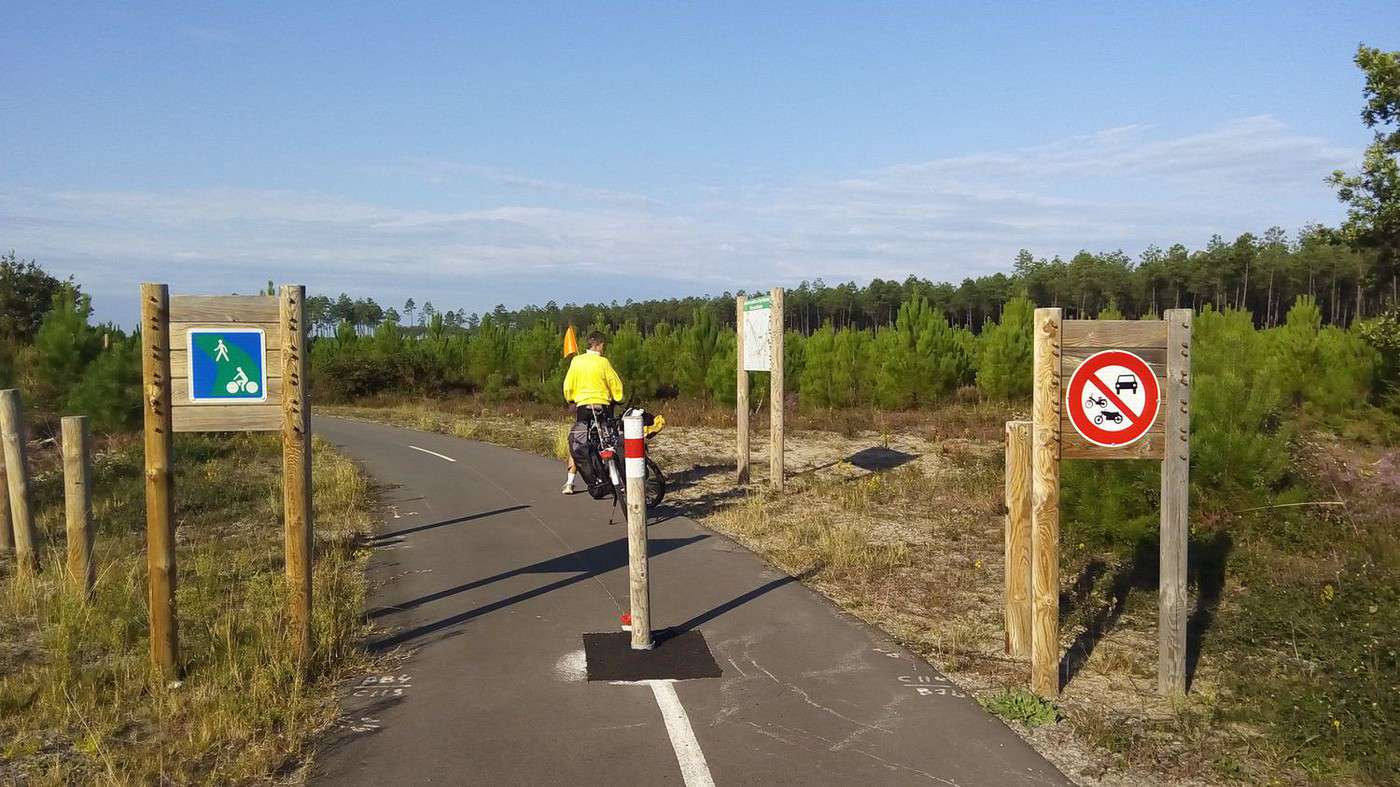
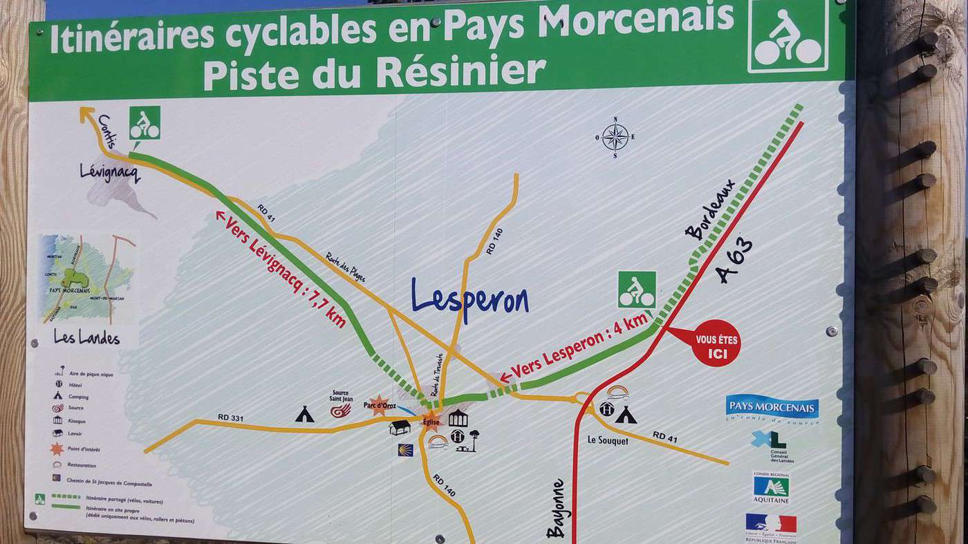
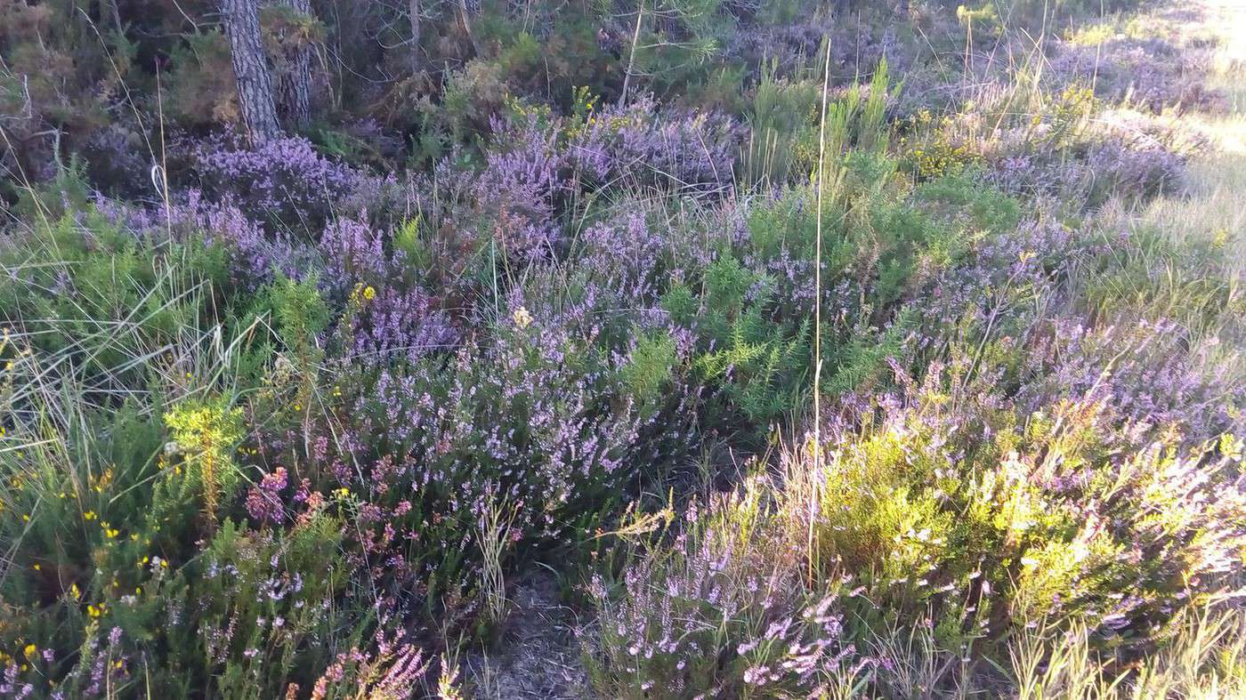
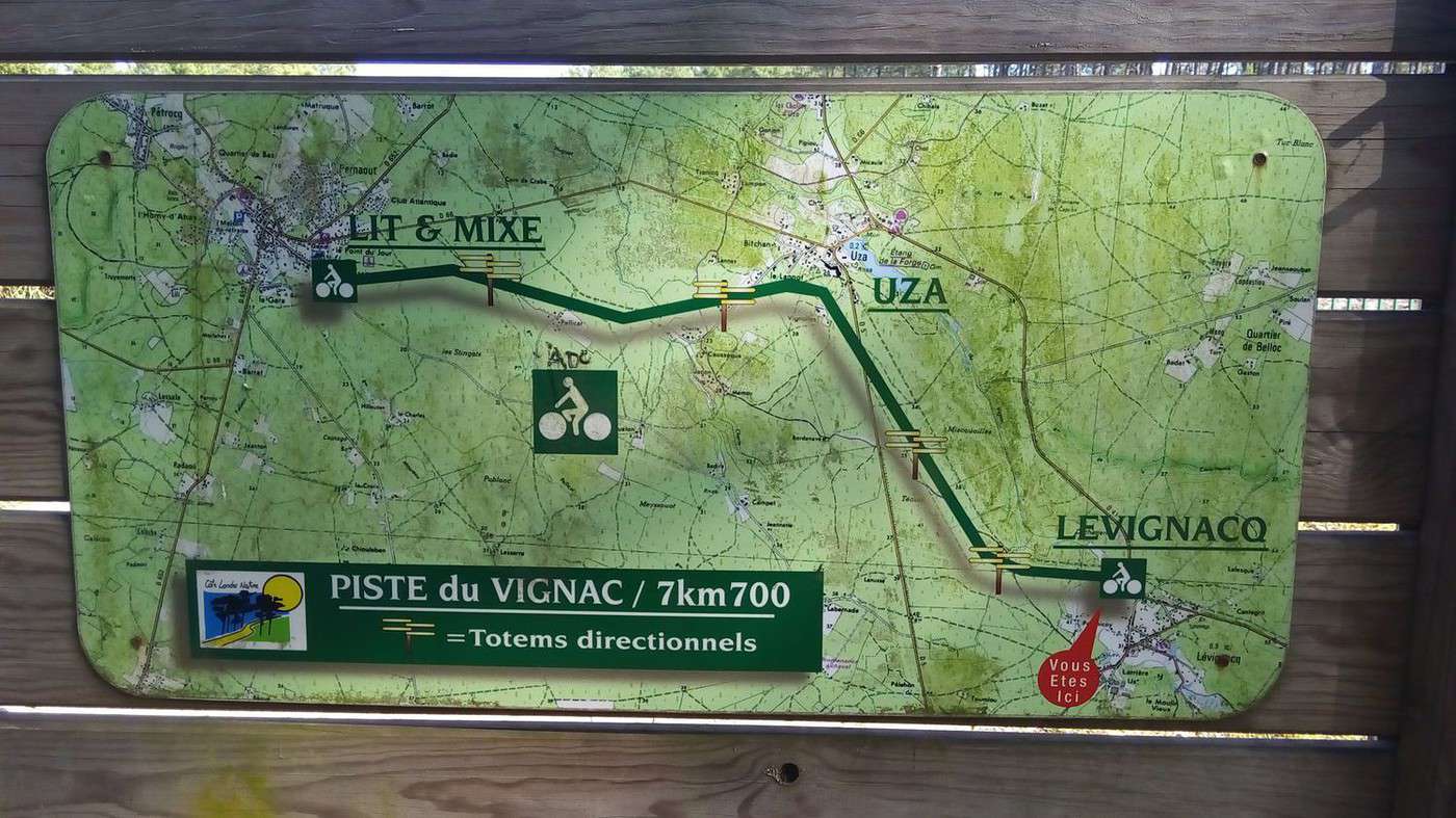
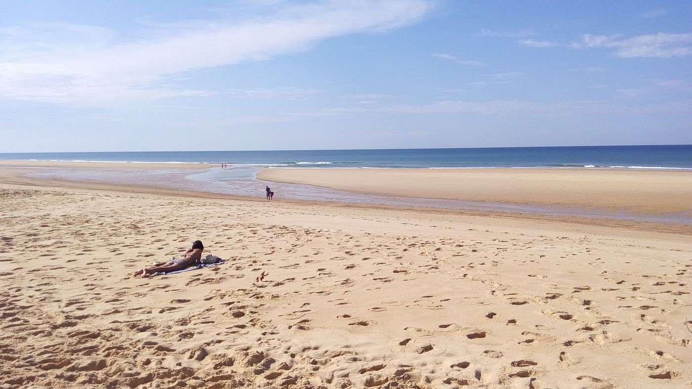
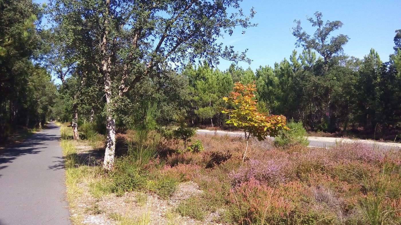
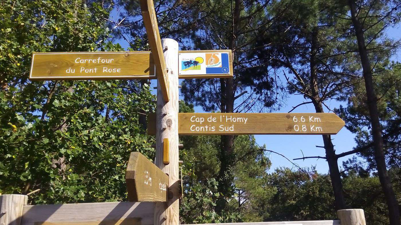
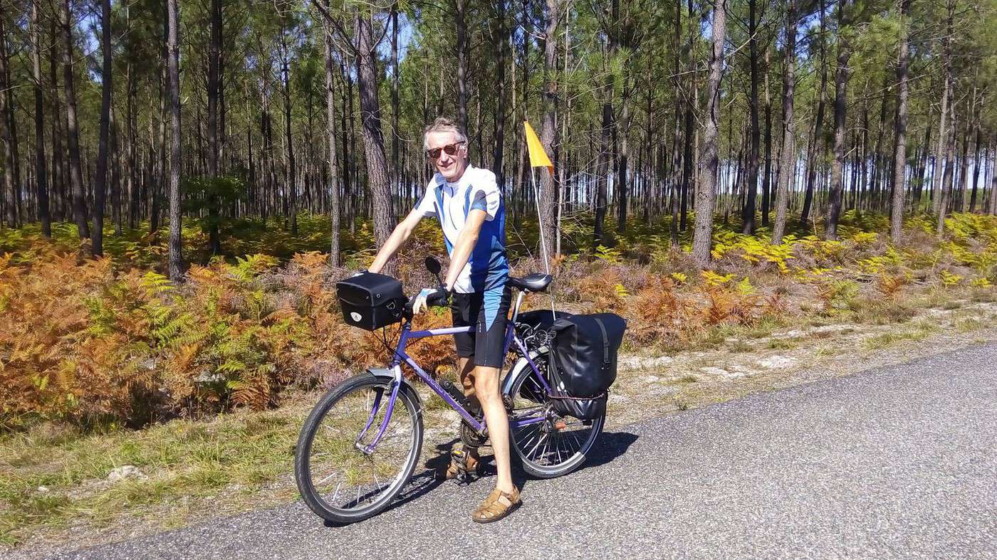
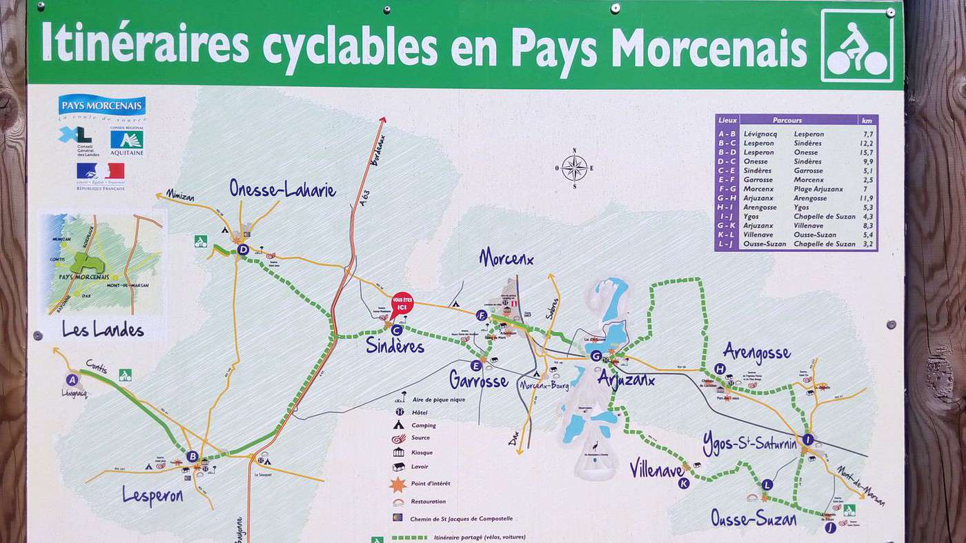
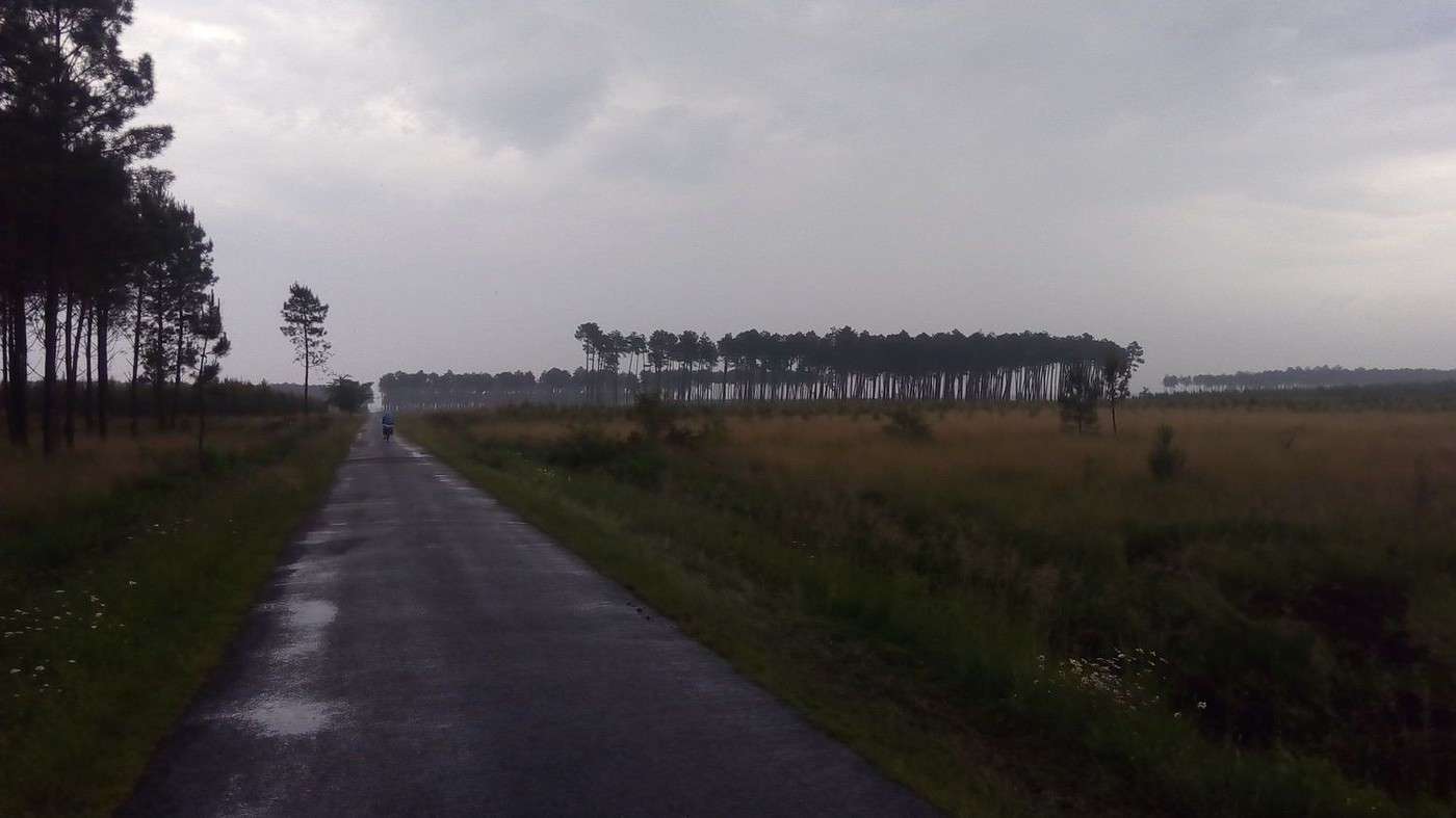
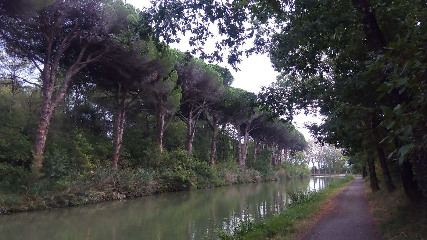
10 km after Morcenx, we cross over the A63 and discover a brand-new Greenway: it's the "piste du résinier" (resin worker's trail) that leads to the Greenway from Lesperon to Lévignacq, which continues all the way to the ocean via Uza and Lit-et-Mixe. We feel like kings in the middle of the pine forests or moors after clear-cut areas that are later replanted. We ride easily (especially since the offshore wind is in our favor) in the heart of nature on a surface worthy of a highway—with no cars. The heather and the first autumn colors delight us. My odometer shows 213 km when we reach the ocean at Cap de l’Homy. We’ve truly traveled due west while staying on the same latitude: Valence d’Agen (latitude 44.1°, longitude 0.89°) to Cap de l’Homy (latitude 44.0°, longitude -1.34)—we’ve just crossed the Greenwich meridian.
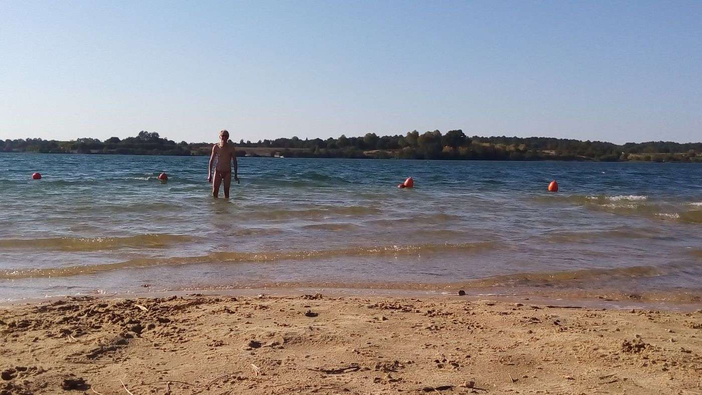
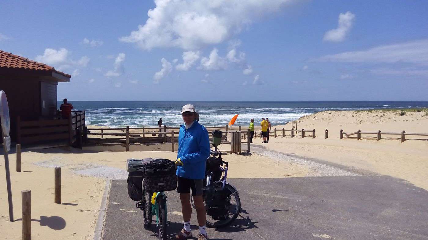
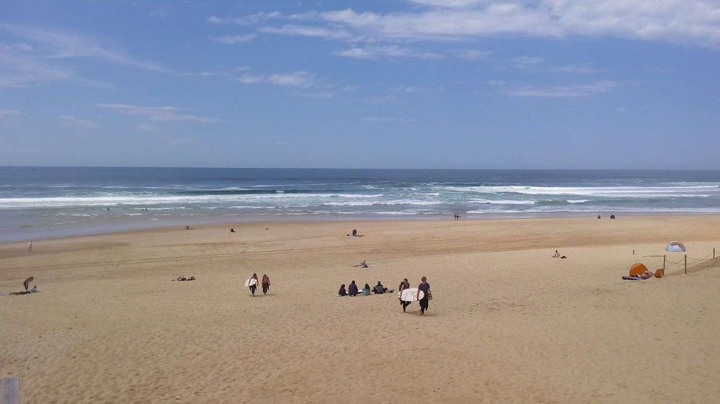
As we lock up our bikes, a tourist from the Alpes-Maritimes approaches us to share his enthusiasm for the Landes region and bike travel. (I take the opportunity to put on my swimsuit.) Fabulous! Once past the dune, there’s no wind. We arrive at low tide during a high full-moon coefficient. The Atlantic is almost like a lake. Dominique asks a woman lying on the sand if she can watch our handlebar bags. But he got it wrong—the cyclist’s wife is next to her under a parasol while her husband swims. She gladly agrees to keep an eye on our papers. I wade into the water easily, helped by an arm warmed by the sun. Dominique just dips her feet. Too bad, it must be 19°C.
We get back on our bikes to have a picnic at a table a little further inland.
The bike path then takes us to Contis Plage, where this time Dominique is determined to swim. Since I’m digesting, I’m less motivated, but the weather is so nice that I join her.
In Mimizan, the beach is off-limits due to military exercises. That doesn’t bother us since we’ve already enjoyed it plenty. At the Tourist Office, we opt for the off-season rate of 42 € for a guest room in Mimizan town. A bike path leads us there. We then dine on the terrace of the Hôtel du Centre. For the return trip, we appreciate my headlamp to get back to the place called Chéou, as the full moon must be hidden by some clouds.
Today, Ségolène Royal announced that the bike mileage allowance would be 25 cents. That’s good news after talk of 12 or 15 cents. Unfortunately, there will be no obligation for employers to offer it:
http://actuvelo.fr/?-L-indemnite-kilometrique-velo
Biking (MTB) along the canal between the two seas (France)
Facteur4 · 2015-11-06 · Message 202 of 310
Thursday 01/10 Mimizan 08:15 AM - Morcenx 3:30 PM, 74 km
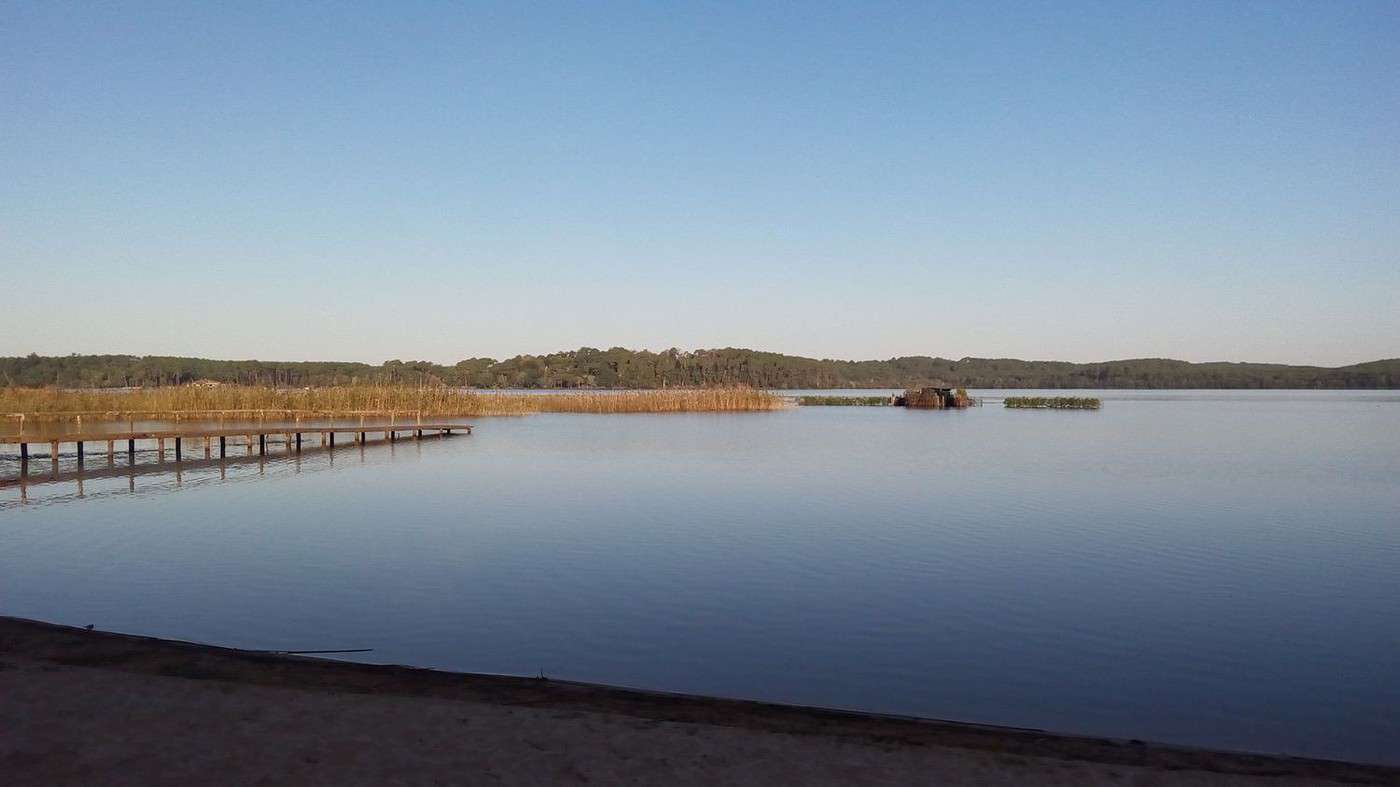
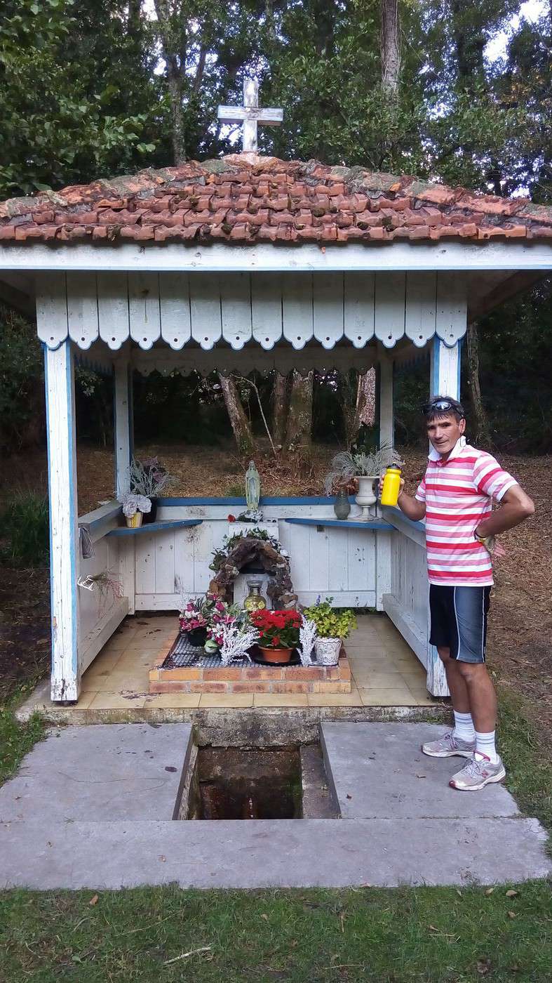
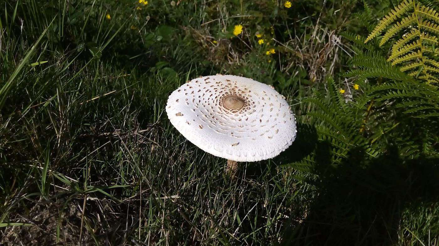
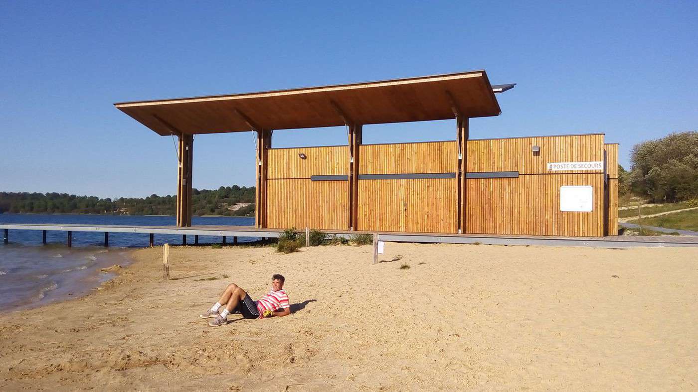
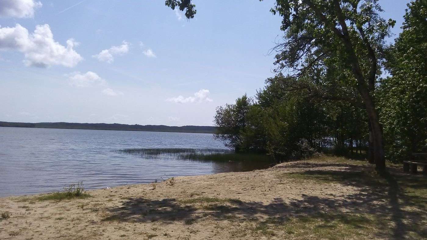
After breakfast and a few chats with our host, we head towards Lake Aureilhan and circle it under the sun. The sandy path makes progress difficult. Dominique shows me the flower-lined walk and the nautical center. Then we take the return route, choosing quiet roads. We picnic in the garden of an abandoned second home, using two concrete blocks as seats. We reconnect with the cycling paths of the Morcenais region. After tasting the sulfur water from a spring reputed to help with arthritis and picking some parasol mushrooms, we arrive in Morcenx at 3:30 PM. Without our luggage, Dominique takes me to discover Lake Arjuzanx. It fills the former open-pit lignite mine that powered the nearby old power plant. This leisure base was recently equipped with a beach and a lifeguard post for busy periods. I swim in the waves created by the wind after circling the lake on a very sandy path. A trail is set up from the beach for the return.
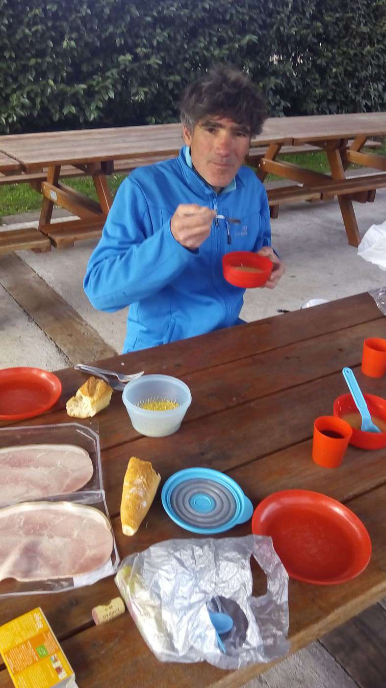
Our dinner doesn’t differ much from the first one, except for the variety of mushrooms. Omelet and local ham, accompanied by *bourret* (in Gascon, it’s fermenting grape must that isn’t yet white wine). It’s so fizzy that you have to poke a hole in the bottle’s cork.
Biking (MTB) along the canal between the two seas (France)
Facteur4 · 2015-11-06 · Message 203 of 310
Thursday, October 2nd – Morcenx 10 AM to Valence d’Agen 4 PM – 28 km
We take the train to Mont-de-Marsan where the railway line ends. Then, we take the coach to Agen.
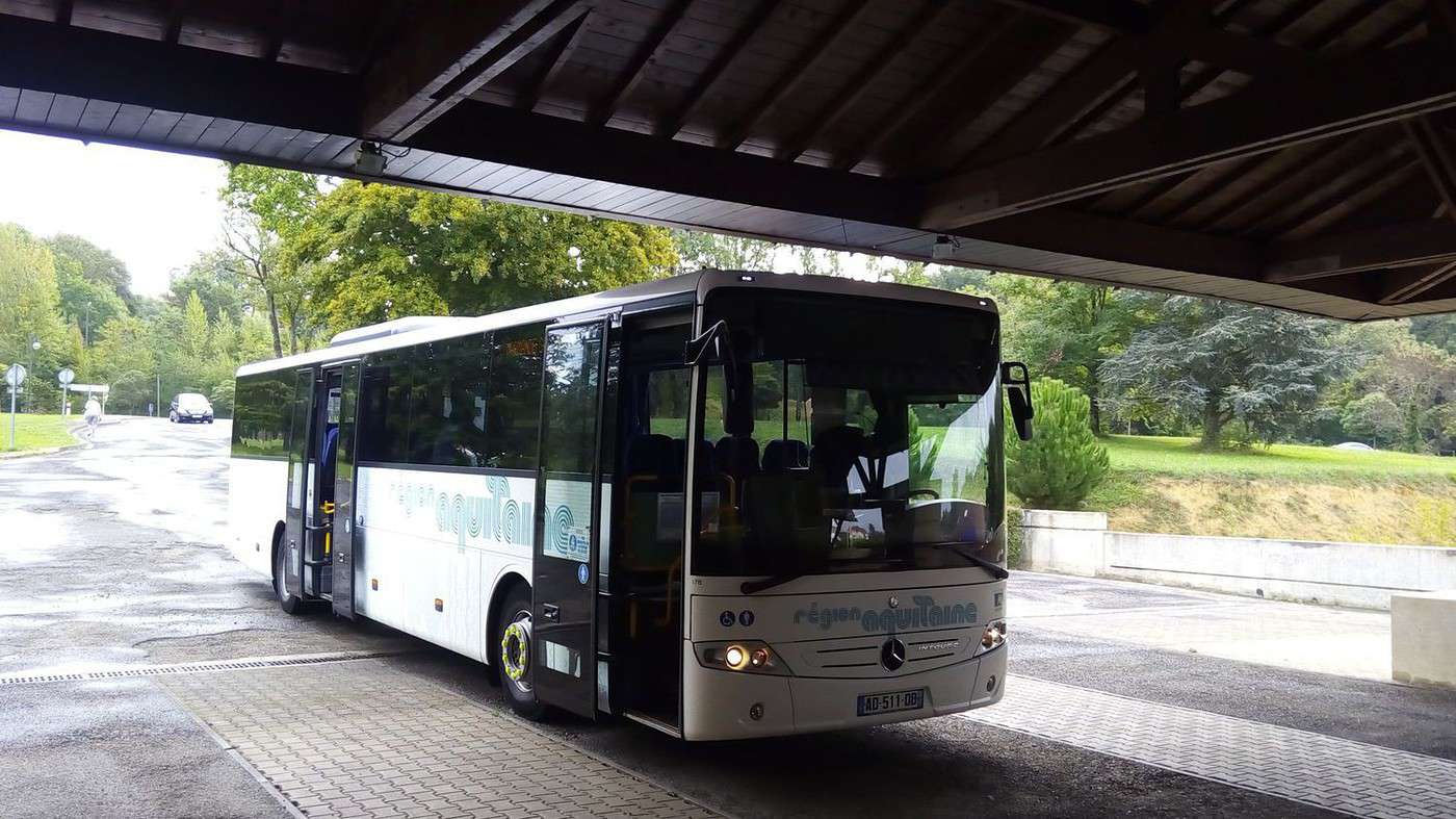
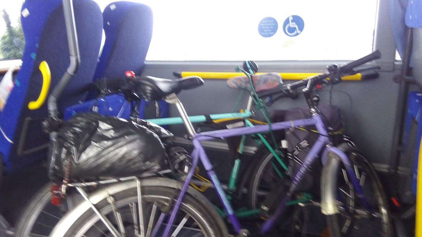
As I open a compartment in the luggage hold to stow my bike, Dominique, who never hesitates to ask, got permission to put them inside the passenger area. The driver opens the central door after having to unlock the safety mechanisms several times. Our mountain bikes fit into the wheelchair space. Dominique secures them with the bungee cord we found on the road the day before. The route is long and scenic, with a stop in Barbotan where I have time to visit the tourist office. The driver, taking a drag on her cigarette, tells us a bit late about a small garden. She sometimes has to wait 2 hours for her shift. I mention that her coach displays "Marmande." She resets it. Although the estimated arrival time displayed keeps increasing oddly along the way, we get off at Agen station at 1:15 PM as scheduled on the timetable provided by the Aquitaine region.
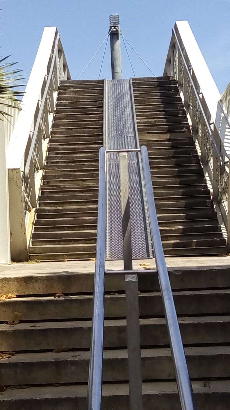
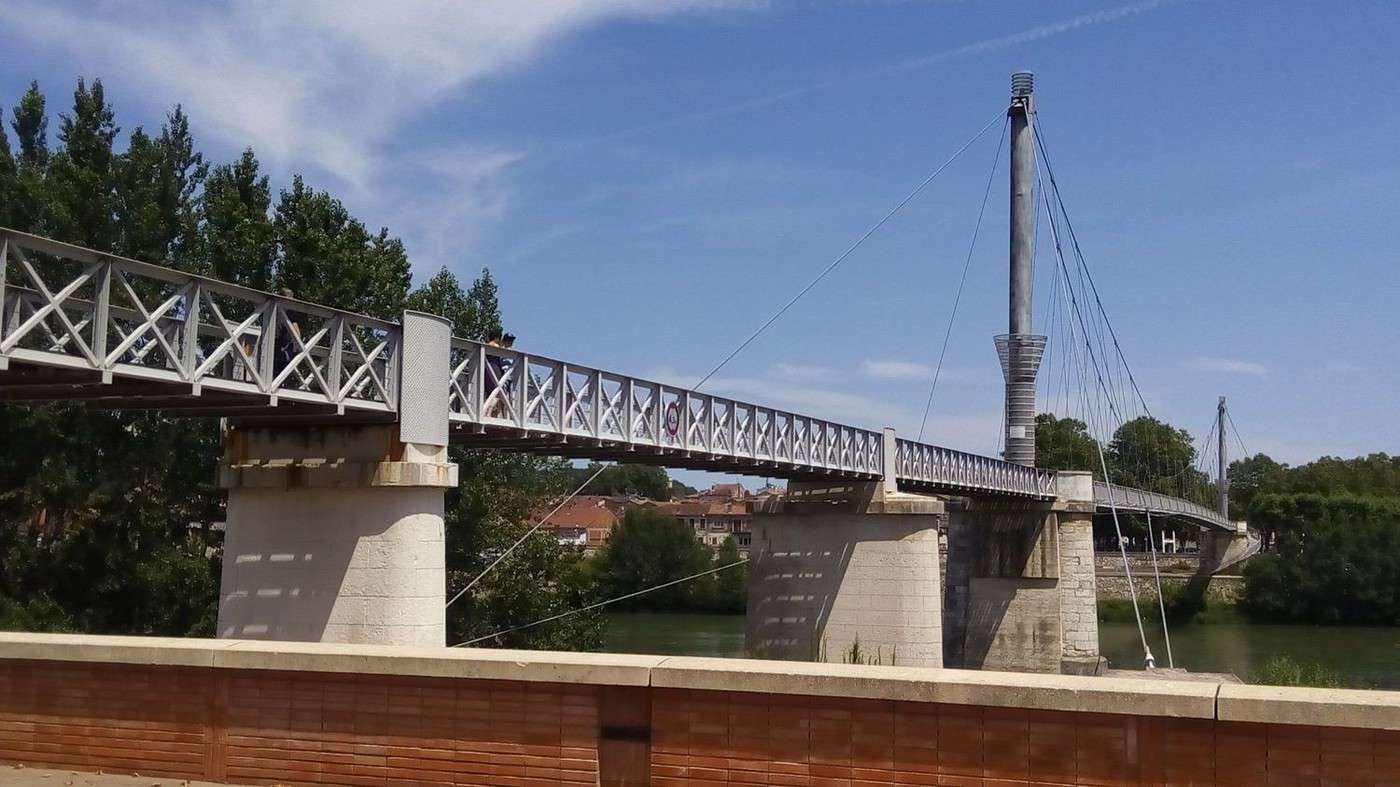
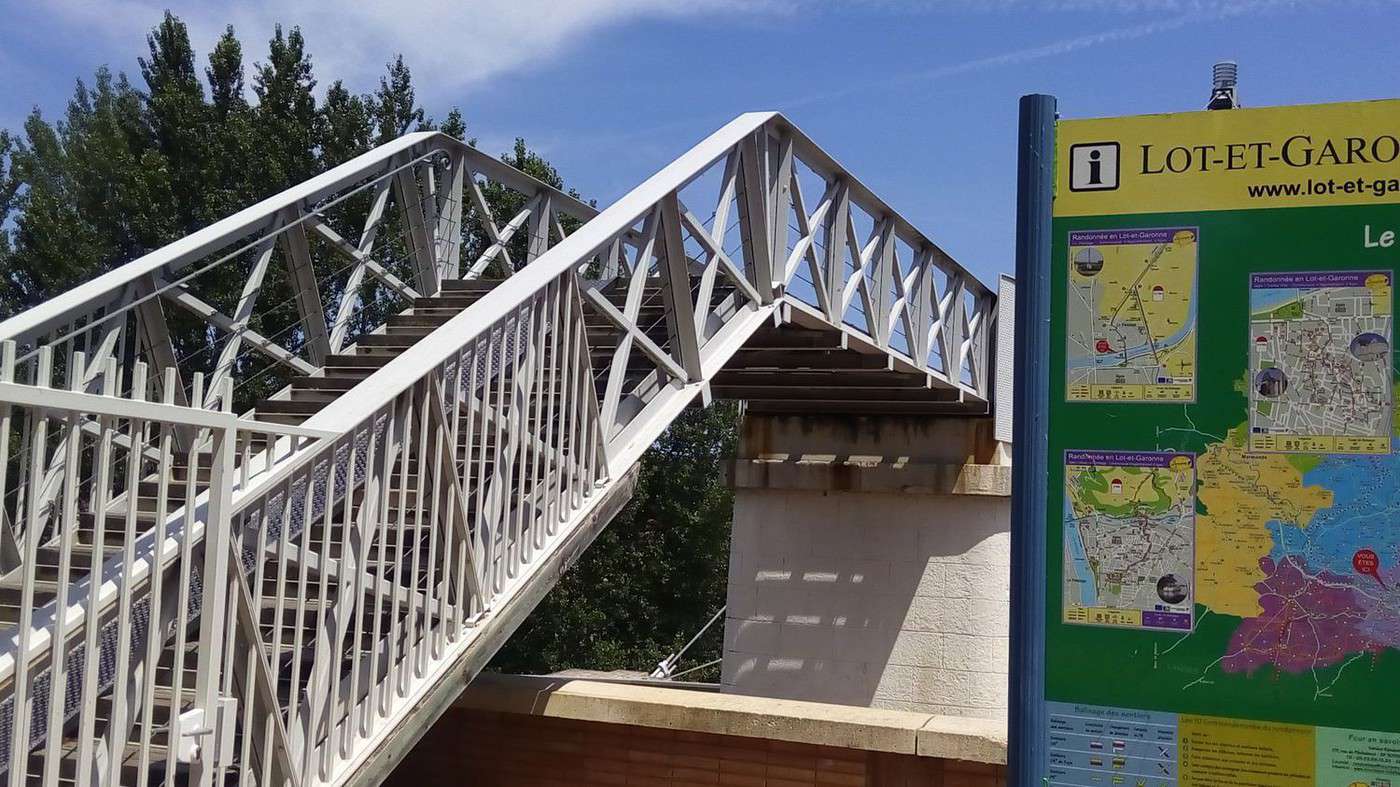
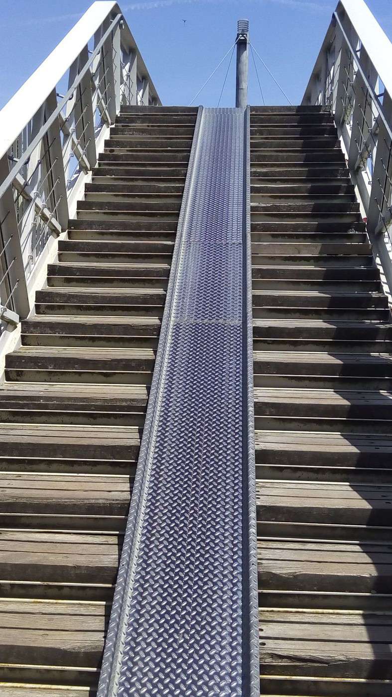
The recently renovated station is very pleasant, but there’s still no way other than stairs to change platforms. However, the pedestrian and bike bridge that spans the entire rail network to reach the lateral canal of the Garonne has been redone and is more convenient.
We only had to ride 28 km on this final day. Total: 358 km of biking and pure delight for the eyes. I thank Dominique for dragging me into this amazing trip, which makes me want to go back to Les Landes.
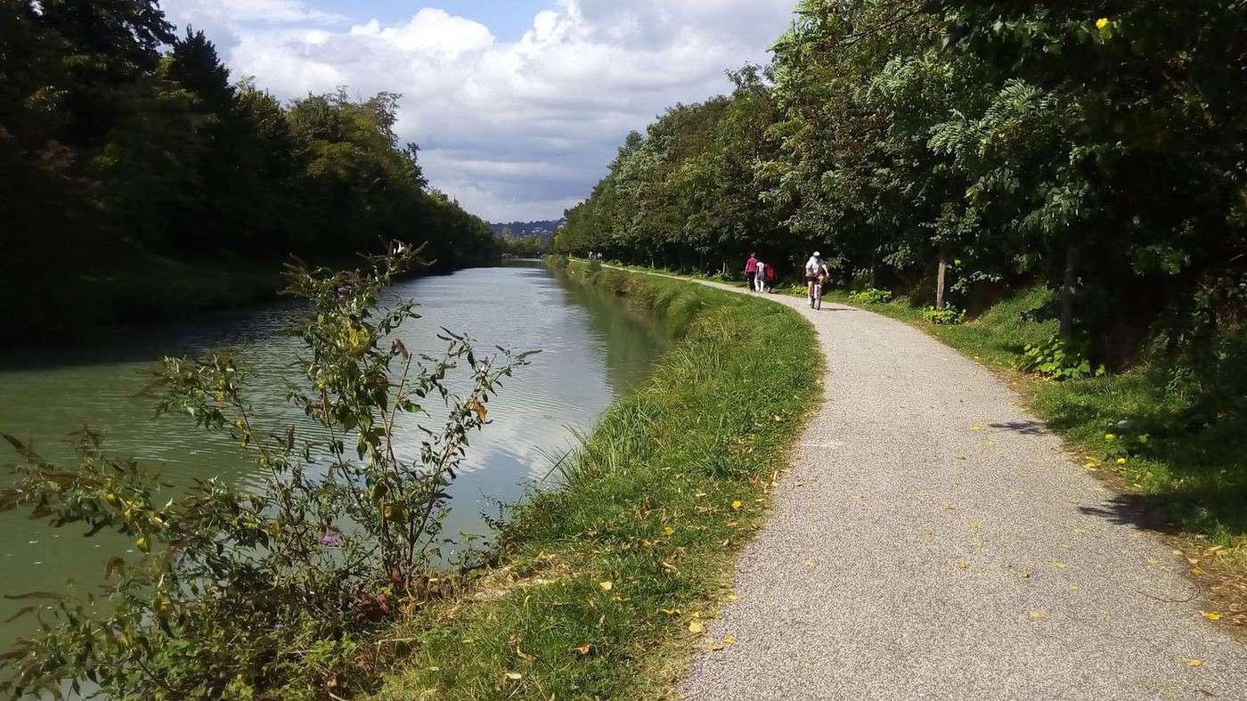
Here we are on the Greenway from our frequent rides. This cycle route just got its website launched and its itinerary extended all the way to Royan. It will be a great invitation to travel once it’s properly developed.
Here’s the information reported by Julien Savary from AF3V:
The website for the "Canal des Deux Mers à Vélo" (Royan-Bordeaux-
Toulouse-Sète), or Cycle Route V80, launched in June, even though
over 240 km are not yet developed!
A "Route Committee" was created in 2014 to develop Cycle Route V80, which will run from Royan to Sète, following the Gironde estuary, then the Garonne canal and the Midi canal. This committee chose the following "commercial" name for the cycle route, which will eventually be over 90% Greenway along the canals: "Canal des 2 Mers à Vélo." In June 2015, France Vélo Tourisme launched a website describing the 800 km of this cycle route as "open." This is surprising because over 35% of the route is not yet developed. There are 40 km missing in Charente-Maritime and Gironde, and along the Midi canal, 100 km in Aude and 100 km in Hérault. These undeveloped sections (over 240 km), currently consisting of 200 km of dirt paths with holes and roots, and mud in winter, are labeled as "temporary routes"!! Unfortunately, no kilometers have been developed along the canal in Aude and Hérault for the past two years. AF3V is calling for the start of work to develop a real greenway with a hard surface along the Midi canal. Because Cycle Route V80 especially needs investment to become a reality—a cycle route open to all, in all weather, along its entire length, including the most beautiful part, the Midi canal.
Check out the website: www.canaldes2mersavelo.com
The Canal des 2 Mers à Vélo will have continuous, uniform signposting
by 2016, except in Aude and Hérault
A steering committee meeting for the national Cycle Route No. 80 "Canal des 2 Mers à Vélo" took place on Tuesday, October 6, 2015, in Montauban. AF3V was invited. The committee continues its work after the elections and subsequent changes, and finally, Haute-Garonne joins the committee, while Aude confirms its commitment. A website for the route was launched by France Vélo Tourisme in June. Development along the Midi canal in Aude and Hérault (160 km missing) is not progressing (nothing planned, difficulties with VNF). Complete and uniform signage (same panels, cycle route logo) should be installed along the entire route starting in 2016, everywhere except in Aude and Hérault.
Cycling (MTB) along the Canal between the Two Seas (France)
Facteur4 · 2015-12-18 · Message 204 of 310
Despite three email exchanges and follow-ups with TERaquitainesncf.fr, the Mont-de-Marsan to Morcenx schedules given by the SNCF app are still wrong, even after the switch to winter time. Someone finally called me to say I need to contact the national SNCF app manager.
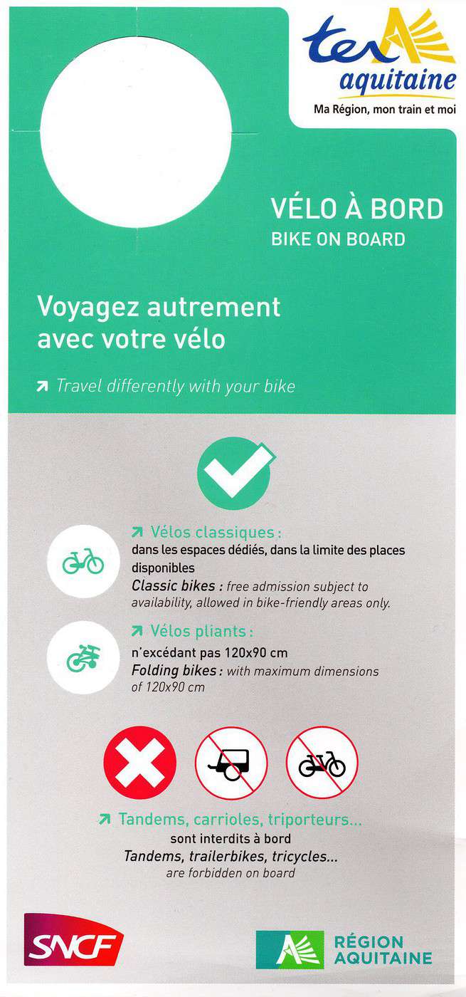
It was on this train, on the bike hooks, that I found the bike-on-board notice (see scan).
It states that tandems, trailers, and tricycles are prohibited. That’s not very welcoming for families making the effort to travel by bike.
The translation of tandems, trailer bikes, and tricycles doesn’t reassure me about my Scorpion.
This is confirmed by the website:
www.sncf.com/...ager-avec-votre-velo
*Only standard bikes are allowed on board trains. The transport of recumbent bikes, tricycles, tandems, and trailers of any kind is not permitted.
Access to trains for all cyclists still isn’t a done deal, and COP21 won’t change that. While I was very pessimistic before it ended:
www.change.org/...polluants/u/14359026
In fact, it’s even worse:
www.bastamag.net/...ternational-devra-se
The Parties committed to presenting greenhouse gas reduction projects by 2020. In the meantime, we’ll keep *eco-paying* (in both senses of the term), and our kids even more so.
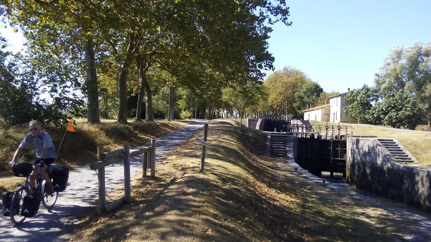
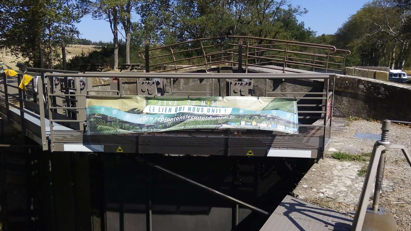
One way to push the government to do what it should is to donate to an organization that gives you a 66% tax deduction. I was invited by VNF’s communications team as a donor www.replantonslecanaldumidi.fr/fr to share my experience. After interviewing me, they’ll use my testimony—but without including this argument, which they deemed too subversive.
VNF confirmed that it’s the downy oak that will replace the Platanor, which isn’t resistant to disease, contrary to hopes placed in its selection:
Oaks to replace the diseased plane trees along the Canal du Midi
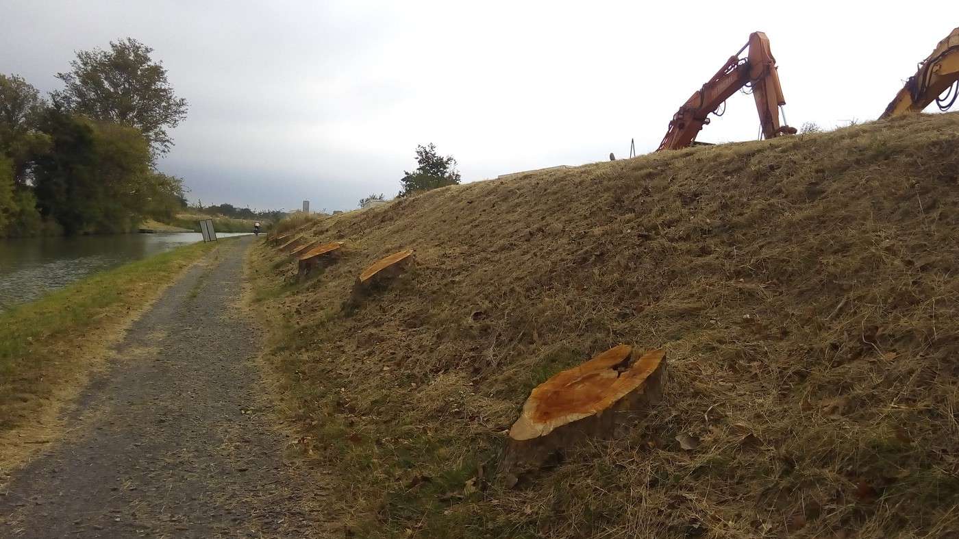
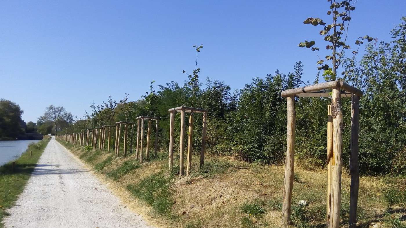
The prefect of the Midi-Pyrénées region announced on September 21, 2015, that to replace the diseased plane trees along the Canal du Midi (affected by "colored canker" and requiring felling—14,000 plane trees have been cut down in the past three years), the state would launch a large-scale replanting plan. The oak was chosen as the "landmark tree" to serve as the "reference species," with long rows of oaks.
Other species will be used as intercrops, such as linden, maple, poplar, and umbrella pine.
See the *20 Minutes* article from 09/21/2015: www.20minutes.fr/toulouse/1692007-
20150921-canal-midi-chene-retenu-remplacer-platanes-malades
See the article from 08/18/2015: www.ladepeche.fr/...015/08/18/2161314-2-
200-platanes-moins-canal-midi-poursuit-mutation.html
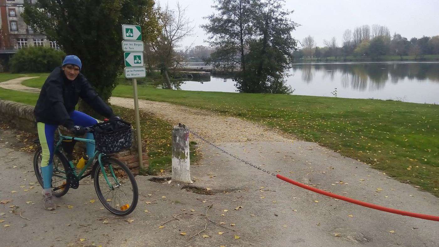
Back on the Greenway along the lateral canal of the Garonne in autumn, I noticed that my two requests to the Moissac town hall—left unanswered—weren’t useless, since the path along the Tarn’s banks was closed for winter (see photo) and a mud bath here: voyageforum.com/...post=6885471#6885471
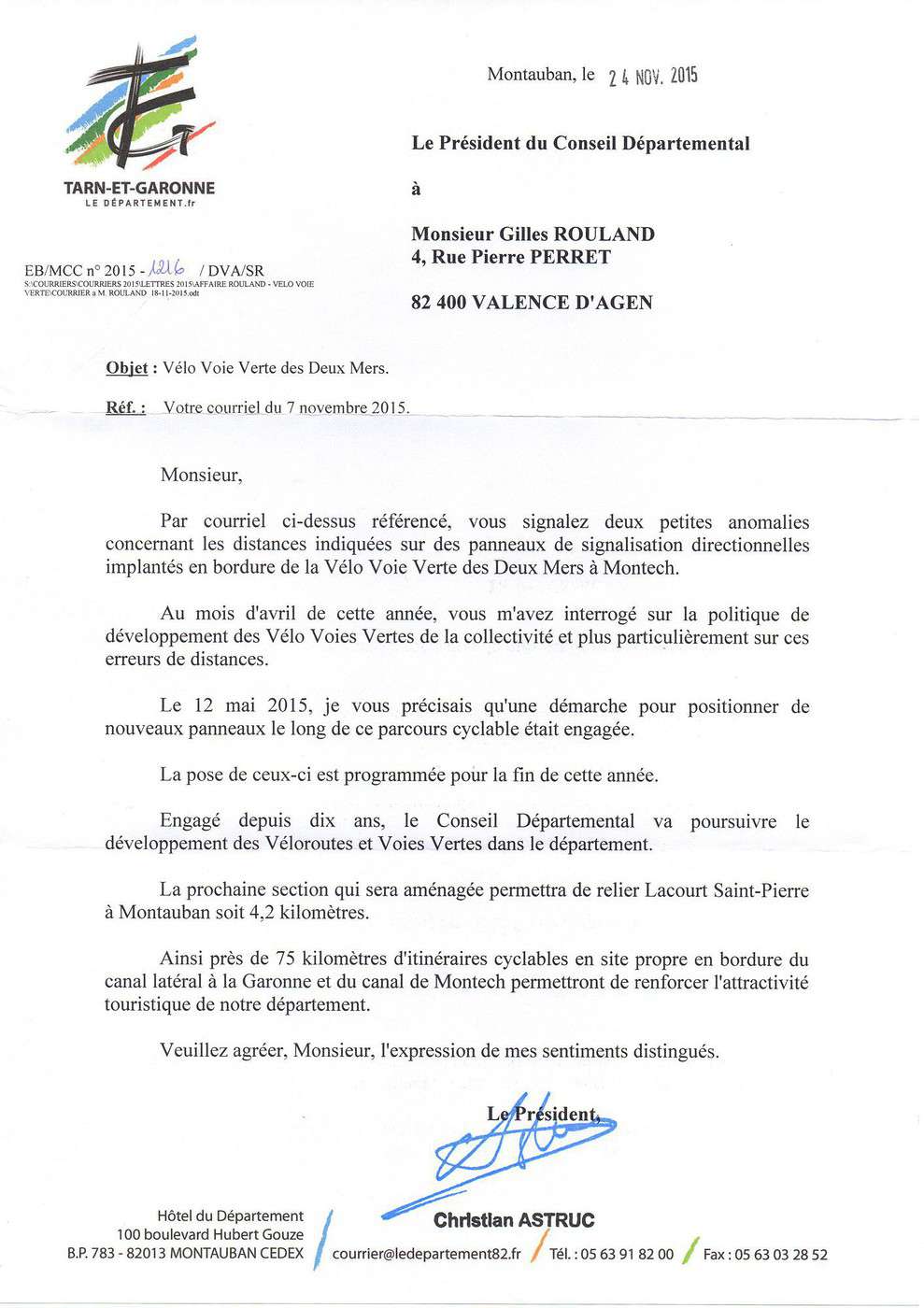
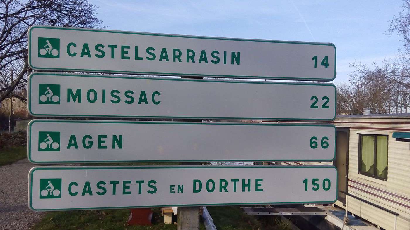
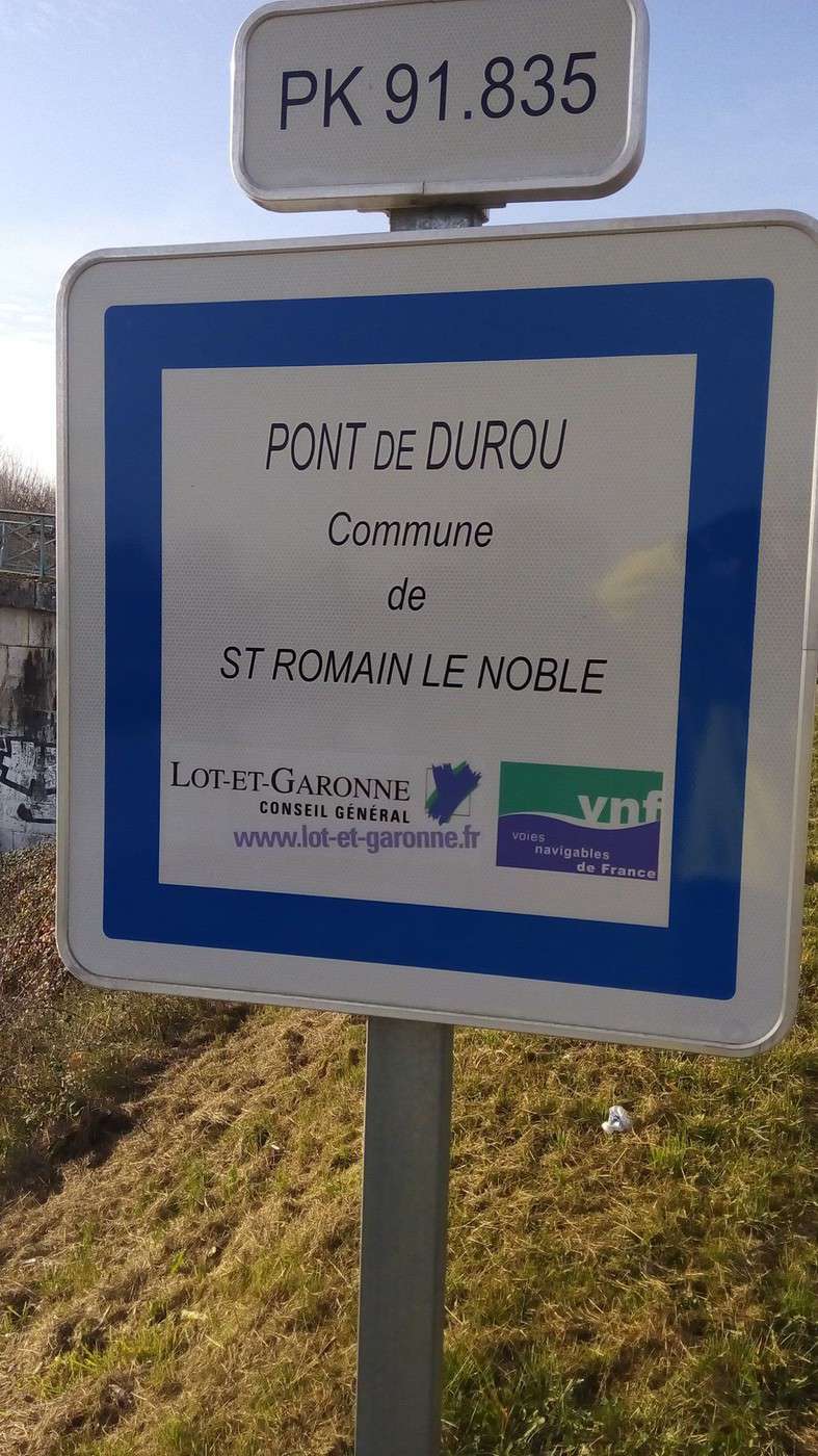
However, in Montech, the kilometer markers are still wrong:
voyageforum.com/...post=6994647#6994647
A new email to the President of the Tarn Departmental Council got me confirmation that the correction would be made.
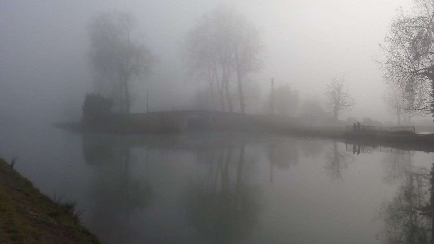
I didn’t hesitate to brave the fog and ride 85 km round trip to see that the departmental services had chosen the simplest solution: removing the kilometer marker for Valence d’Agen and also taking down the Montauban sign. The latter was necessary because it was on the wrong bank since the creation of the Greenway along the Montech canal.
Great news in this letter: the Lacourt-Saint-Pierre to Montauban section will be completed, finally linking Montech and Montauban.
www.af3v.org/...-VVV-.html?voie=421#
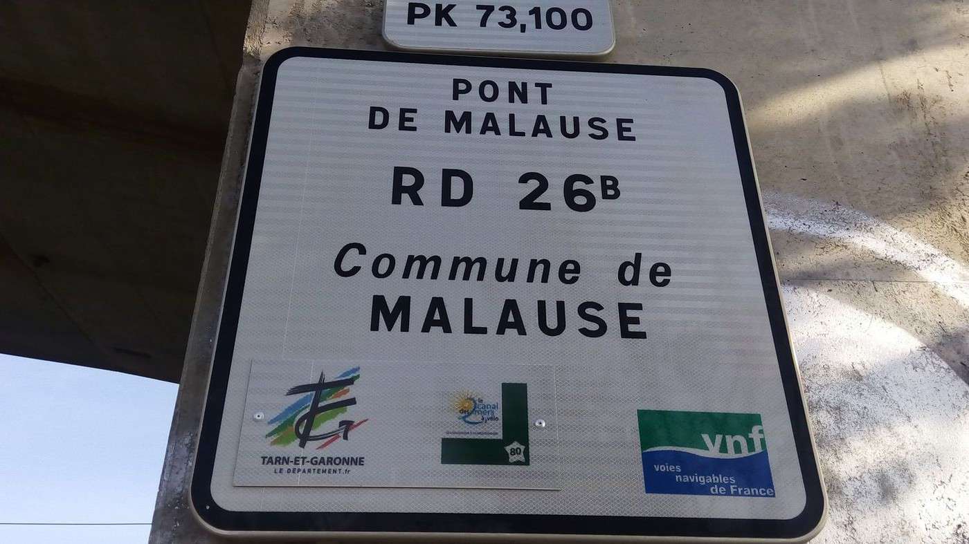
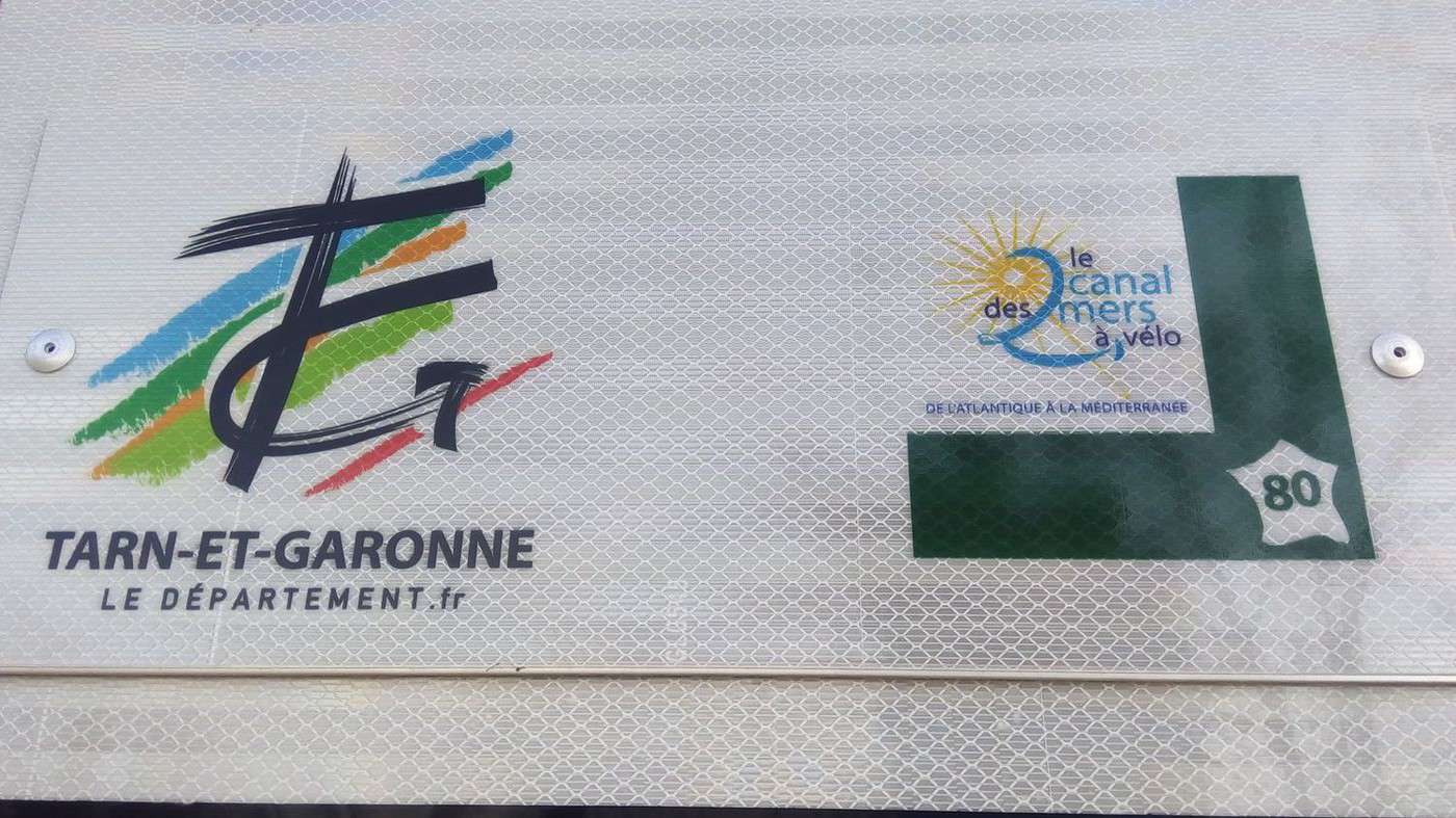
Another good piece of news: I discovered that Tarn-et-Garonne has marked the Greenway with the *Canal des Deux Mers* logo. Official name of the *Véloroute 80*: www.canaldes2mersavelo.com/
They also took the opportunity to replace the old departmental logo (green and white) with a multicolored one.
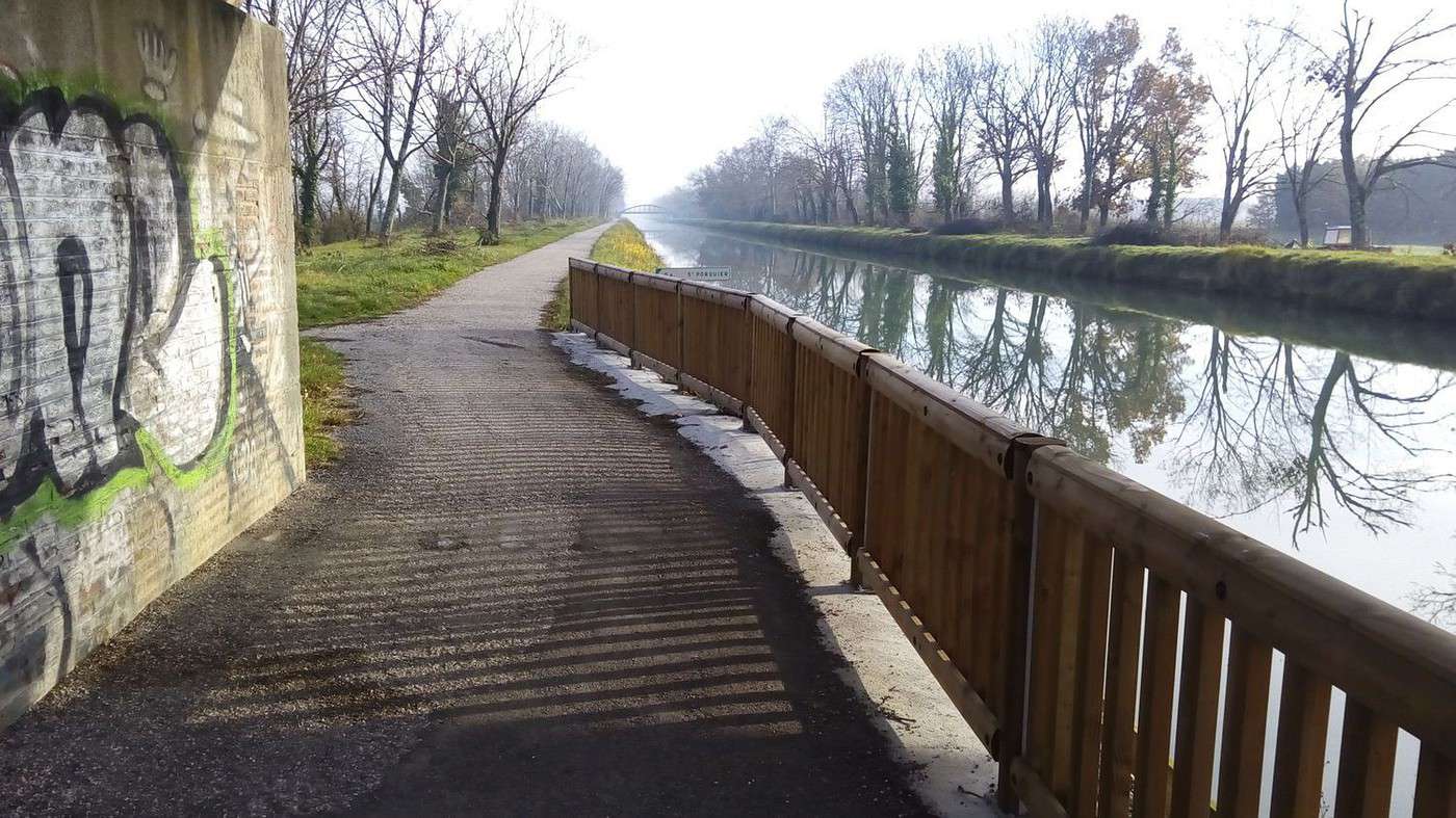
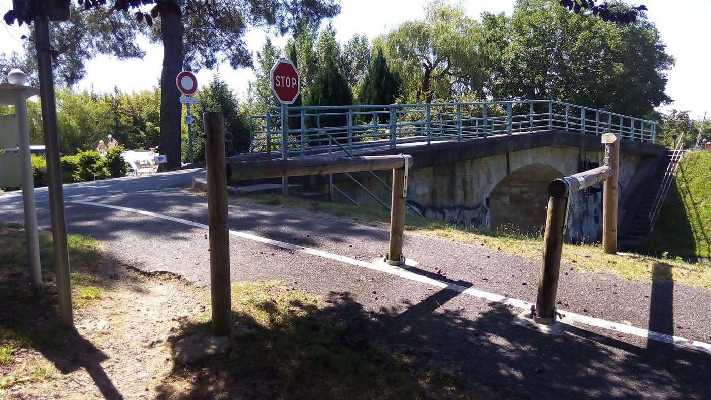
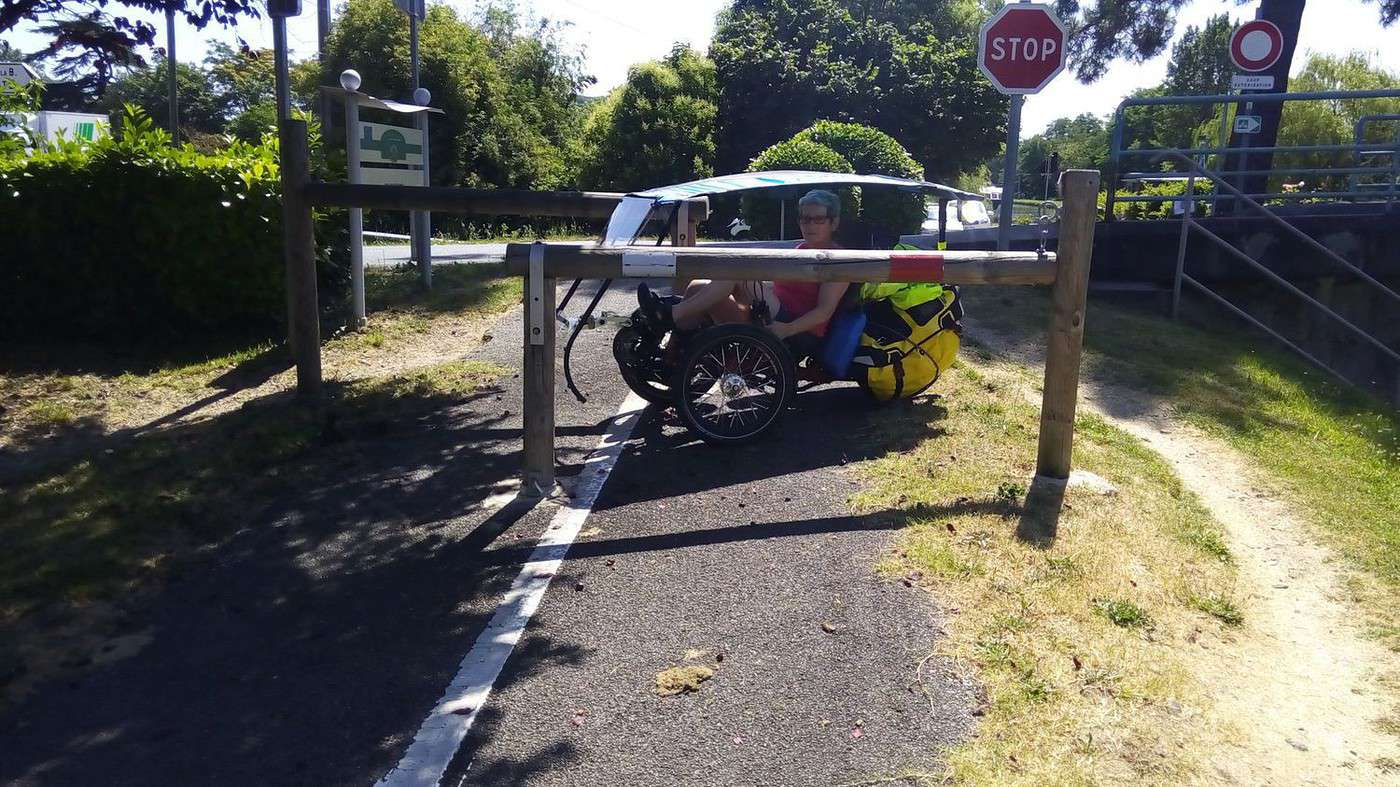
I’ll congratulate them again for installing barriers in 2015 to secure narrow passages under bridges. However, I’ll have to report once more that when coming from Castelsarrasin, the (green) sign for Montauban 10 km appears before the Montauban 12 km sign. The first was correct when you had to take the road bridge. The second is correct now that there’s a pedestrian/bike footbridge.
In Lot-et-Garonne, the *V80* doesn’t exist yet (though the Greenway does), but near the Agen canal bridge, the old water treatment building will be turned into a *vélostation*.
Info shared by Julien Savary:
A bike stop (café, workshop, hostel) in Agen along the Greenway
The city of Agen will transform the former water treatment plant, located near the canal bridge, into a bike service center. Called the *Café-Vélo*, this building will offer Greenway users a café-restaurant with a terrace, a bike rental-repair and maintenance workshop, and a 12-bed hostel (with showers, restrooms, laundry, and bike storage). It’s right next to the city center, along the canal and the Garonne. The restoration will respect the building’s historic character, highlighting this industrial heritage (e.g., the slate roof will be recreated). The total project cost is 1 million €. It will be a useful service hub for local walkers and cycle-tourists. Opening planned for 2017.
See the article from 09/26/2015:
www.ladepeche.fr/...halte-sur-leschemins-
de-la-voie-verte.html
See the article from 10/08/2015: www.ladepeche.fr/...08/2192968-de-lusine-
de-l-eau-au-cafe-velo.html
See the Agen city website (photos and project plans):
www.agen.fr/...te?id_actualite=8858
Today, a crane was removing a large container from the canal bridge access.
Mountain Biking (MTB) Along the Canal Between the Two Seas (France)
Facteur4 · 2016-03-09 · Message 205 of 310
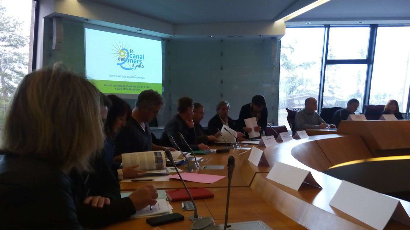
I attended the Steering Committee meeting for the Canal des 2 Mers à Vélo (V80) route, which took place on March 7th at the Departmental Council in Montauban, representing www.af3v.org/, an association I’m a member of.
Launched at the end of 2012 by the Tarn-et-Garonne department as part of a destination contract signed in 2013 with the Ministry of Tourism, France Vélo Tourisme, and various institutional partners, the route committee was created at the end of 2013 after raising awareness among all the departments and regions involved. It benefited from support by France Vélo Tourisme, which provided project management assistance to the route’s leader due to the lack of dedicated staff for the committee.
At the end of 2013, a partnership agreement for 2014–2016 was signed between the Tarn-et-Garonne Departmental Council and the partners interested in the project. With Haute-Garonne joining the committee at the end of 2015, all seven departments along the Royan–Sète route are now involved.
Charente-Maritime (ACCEUIL VÉLO agreements with providers: 14)
Drafted the signage charter according to CERTU (Centre for Transport, Urban Planning, and Network Studies) standards, including route identification, and sent it to the departments to implement signposting in their respective areas.
Installed signage on the definitive sections and orange panels on the temporary sections.
Set up solar-powered flashing signals to warn drivers on shared road sections.
Gironde (ACCEUIL VÉLO: 18)
Will train staff on the Blaye–Lamarque ferry to better welcome cyclists.
As part of the brand’s rollout, new Accueil Vélo Repair and Rental labels will now be distinguished. Added the Accueil Vélo Restaurateur label.
Lot-et-Garonne (ACCEUIL VÉLO: 19)
Will implement signage in 2016.
Tarn-et-Garonne (ACCEUIL VÉLO: 26)
Installed signage in December 2015 (see photo in my previous post).
I asked for the expected completion date of the Voie Verte along the Montech canal (6 km completed between Montech and Lacourt-Saint-Pierre, with 4 km remaining to Montauban).
This development can only be carried out after the banks are reinforced by Voies Navigables de France (VNF) and may not be possible until 2017.
Haute-Garonne (ACCEUIL VÉLO: 10 in progress)
Faces challenges due to the UNESCO World Heritage classification of the Canal du Midi.
The signage charter does not account for this classification.
A contact at the DREAL (Regional Directorate for Environment, Planning, and Housing) suggested that special versions of the signs may be necessary.
Aude (ACCEUIL VÉLO: 0)
A sticking point in negotiations with the DREAL. The UNESCO classification may prevent the creation of a paved cycling path along the towpath of the Canal du Midi.
Site inspectors are refusing to develop the *rigole de la plaine* in the Aude, even though it has been done in Haute-Garonne. They are requesting an ecological and landscape study.
There is now a set of specifications accompanying the UNESCO classification that did not exist when the Canal du Midi was designated.
Hérault (ACCEUIL VÉLO: 0, but quickly achievable as some accommodations are already labeled)
A study for the DREAL estimates the cost of development at 7 million €.
Jean-Paul Delachoux, president of the association of 156 municipalities along the canal, warns:
Following the report by Prefect Sabathé on the Canal du Midi:
www.ladepeche.fr/...-is-stunning.html
He fears a split between the *Canal latéral à la Garonne* and the Canal du Midi, which will receive special treatment—contrary to the goal of this steering committee.
The creation of a new body solely for the Toulouse–Sète section is very concerning!
Presentation by www.advansolar.com/
They presented their solar solutions for electric mobility.
It could be possible to install autonomous charging stations (not connected to the electrical grid) every 30 or 40 km for e-bikes, possibly combined with bike rentals, tourist office information panels, or Wi-Fi.
For 2016:
The steering committee agreed that Kilometer Zero is located in Toulouse. The route north of the *Ville Rose* will be numbered from south to north, and the route south of Toulouse will be numbered from north to south to respect existing kilometer markers.
The Infrastructure Technical Committee proposed an inventory of infrastructure and vertical signage for the Voie Verte:
A table was created to pool data from all departments and send it to ON3V (National Observatory of Cycle Routes and Greenways). Departments are encouraged to update this data every six months.
Pedestrian and cyclist counters need to be geolocated.
A national report on usage is needed, along with a new survey.
VNF, which had launched the first usage survey, is not participating in the steering committee despite being invited.
Promotion & Communication
The 2015 promotional brochure, printed in 10,000 copies with support from Languedoc-Roussillon and Midi-Pyrénées, will be reissued in 2016 with updated partner logos and the addition of Haute-Garonne:
10,000 copies in French, 5,000 in English, and 5,000 in Dutch.
The route will have a stand at the *Salon Mondial du Tourisme et Destination Nature* in Paris from March 17 to 20.
Participation in the Berlin 2016 trade show.
Press Relations
The Technical Committee organized a press trip at the end of 2015, with expected coverage in spring 2016.
The route was represented at the *DEPTOUR* meetings in Paris in January. Around thirty journalist contacts were recorded for potential reports in 2016.
Local market communication campaign:
400,000 copies distributed in *La Dépêche du Midi*, *Midi Libre*, and *Sud Ouest*.
Promotional video
Filming completed in 2016:
A long format showcasing all the tourist highlights of the route.
A teaser highlighting the major sites online.
A week of promotion in Toulouse:
A tourism space will be set up in the city center in the spring.
Web marketing in partnership with France Vélo Tourisme
Outreach to private websites to develop partnerships.
Implementation of i-frames on partner tourist office websites.
News distribution via social media.
Hosting bloggers (e.g., *Graines de Baroudeurs*).
Opening an Instagram account to share testimonials.
Additions to the website www.canaldes2mersavelo.com/:
Work updates.
Working group for outreach to tour operators.
Publication of a *Guide du Routard* (cost: 40,000 to 50,000 €)
Postponed pending feedback from the *Vélodyssée* guide, but mainly due to issues with the Canal du Midi. Permission from VNF is still required to cycle on the towpath in the Aude and Hérault.
I’ll add that it’s far from being usable year-round.
Reminder: The *Canal des 2 Mers à Vélo*, with its 800 km, cannot qualify for the EUROVELO label as it is under 1,000 km and does not cross two countries. However, it may qualify for European subsidies for its development.
An economic observatory is needed to measure the tourism impact.
In this third year of the program, a new partnership agreement must be planned.
I was able to speak as a cyclist:
"I live in Valence d’Agen, and it was the towpath that got me into bike travel.
Because it’s beautifully flat and sheltered from traffic. I gradually made my way to Toulouse and then cycled the Canal du Midi five or six times. Once the *Canal latéral à la Garonne* became a Voie Verte, it took me all the way to Bordeaux, then to the Arcachon Basin and its many cycling paths. I congratulate Tarn-et-Garonne for their work.
Ladies and gentlemen, you’re convinced of the canal’s tourism potential. I’d like to add that it can also be used for professional trips. I’ve traveled to Bordeaux on business twice. I wouldn’t have considered it without the cycle path. I was lucky enough to go to Lyon for a training course in June. I cycled there via the Canal du Midi and then the *Canal de Sète au Rhône*. I was embarrassed when, one evening at a hostel near Carcassonne, a German woman told me she’d spent the whole day riding through mud.
I’m surprised that the *Canal des 2 Mers*, which has national and even international appeal (I’ve met cyclists from Korea and Argentina), doesn’t receive state support."
The representative clarified that the state contributed 10,000 € to the steering committee’s funding only in the first year for the launch and is working to facilitate its implementation.
(Each department contributes 5,000 € annually, the region and the association of municipalities contribute 10,000 €.)"
Biking (MTB) along the canal between the two seas (France)
Facteur4 · 2016-05-31 · Message 206 of 310
Morcenx 2 (the return)
With my friend Dominique, we wanted to go back to the cycle paths in Les Landes, but this time, instead of heading north (Mimizan), we decided to go down to Biarritz.
In a week, we couldn’t make the round trip from Valence d’Agen. So, I looked into returning by train. There are trains from Biarritz to Toulouse, but none accept bikes. We’d have to go to Bordeaux, which means taking 2 or 3 TGVs and paying 10 € per bike each time.
And then, we’d still have to take a train from Bordeaux to Agen...
(I finally figured out why my smartphone gave me crazy schedules between Mont de Marsan and Morcenx during our last trip. After several complaints on the TER Aquitaine website, someone called me to explain that the SNCF app aims to provide info for the *entire* route between departure and arrival—including walking, buses, and trains. Maybe a bit too ambitious! I don’t think it’s fully functional yet, or maybe I just don’t get how to use it.)
Since coaches between Biarritz and Toulouse don’t take bikes either, I checked carpooling. It seemed tricky with two bicycles. I looked into *cocamionnage* (truck-sharing), but while space wasn’t an issue, the few companies that offer it only go to Bordeaux.
The only option left was renting a car. In Biarritz, Europcar offers a Peugeot 208 for 60 € for one day if you return it to the same location. If you return it to Agen, it’s 600 €!
With Avis, there’s no extra charge for dropping off at a different city.
However, my friend wasn’t up for the Gers hills since he’d injured his foot on his motorcycle and wasn’t in training. So, we loaded our MTBs and luggage into my 2000 Xsara Picasso (gasoline) to drive to Morcenx. Good call—it was raining on Sunday, May 22, 2016. (The Zoe didn’t have enough range, and there were no fast-charging stations along the route.)
After 190 km (2 days of biking), we arrived in Morcenx. I filled up the tank (just in case, due to protests against the labor law) and parked the car at the garage of Dominique’s parents’ old house, where we slept.
Monday, May 23 – Morcenx 9 AM to Léon pond 4 PM: 67 km + 16 km (local) = 83 km
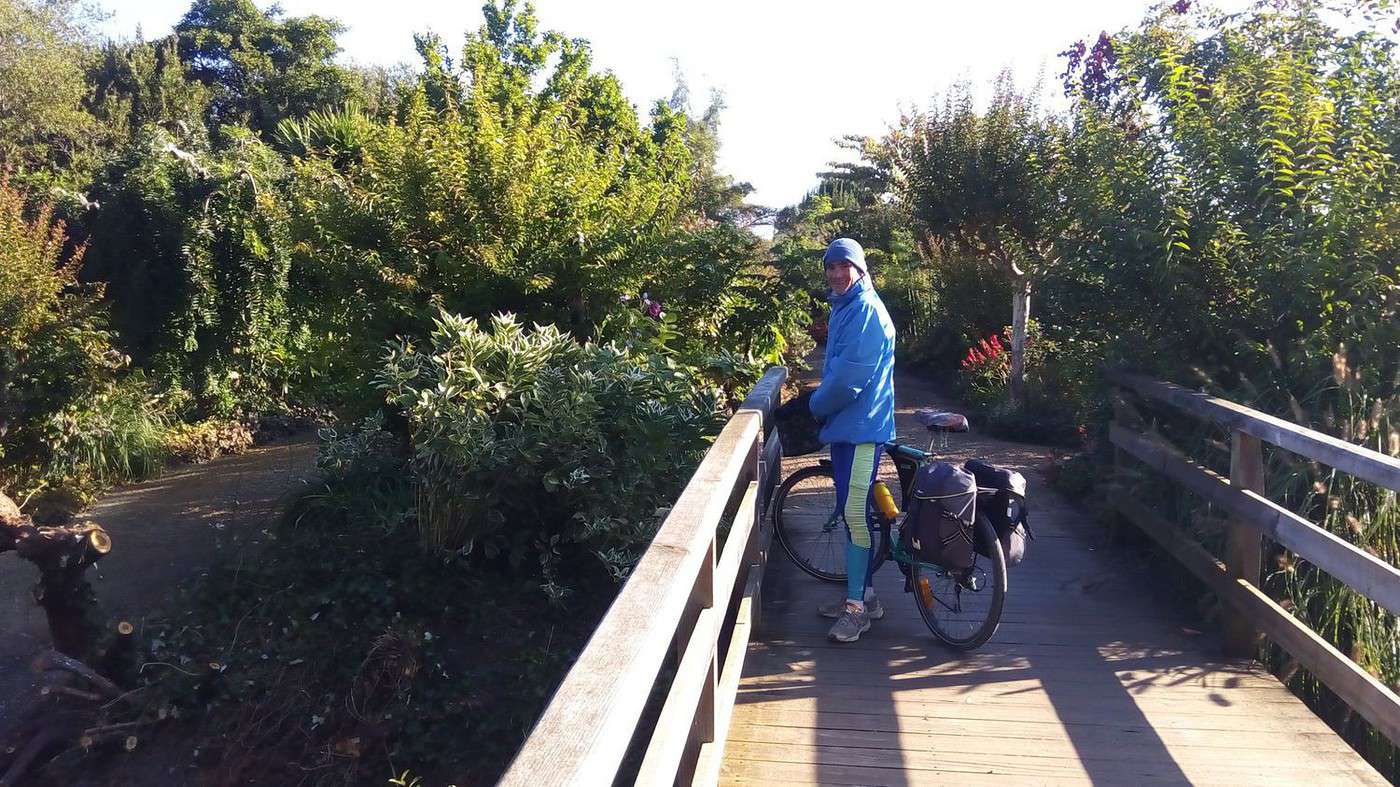
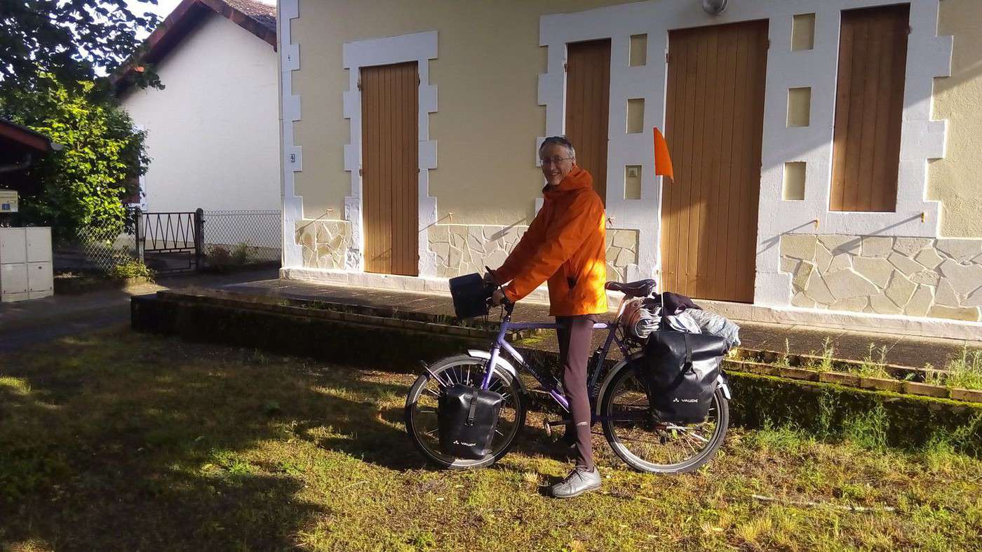
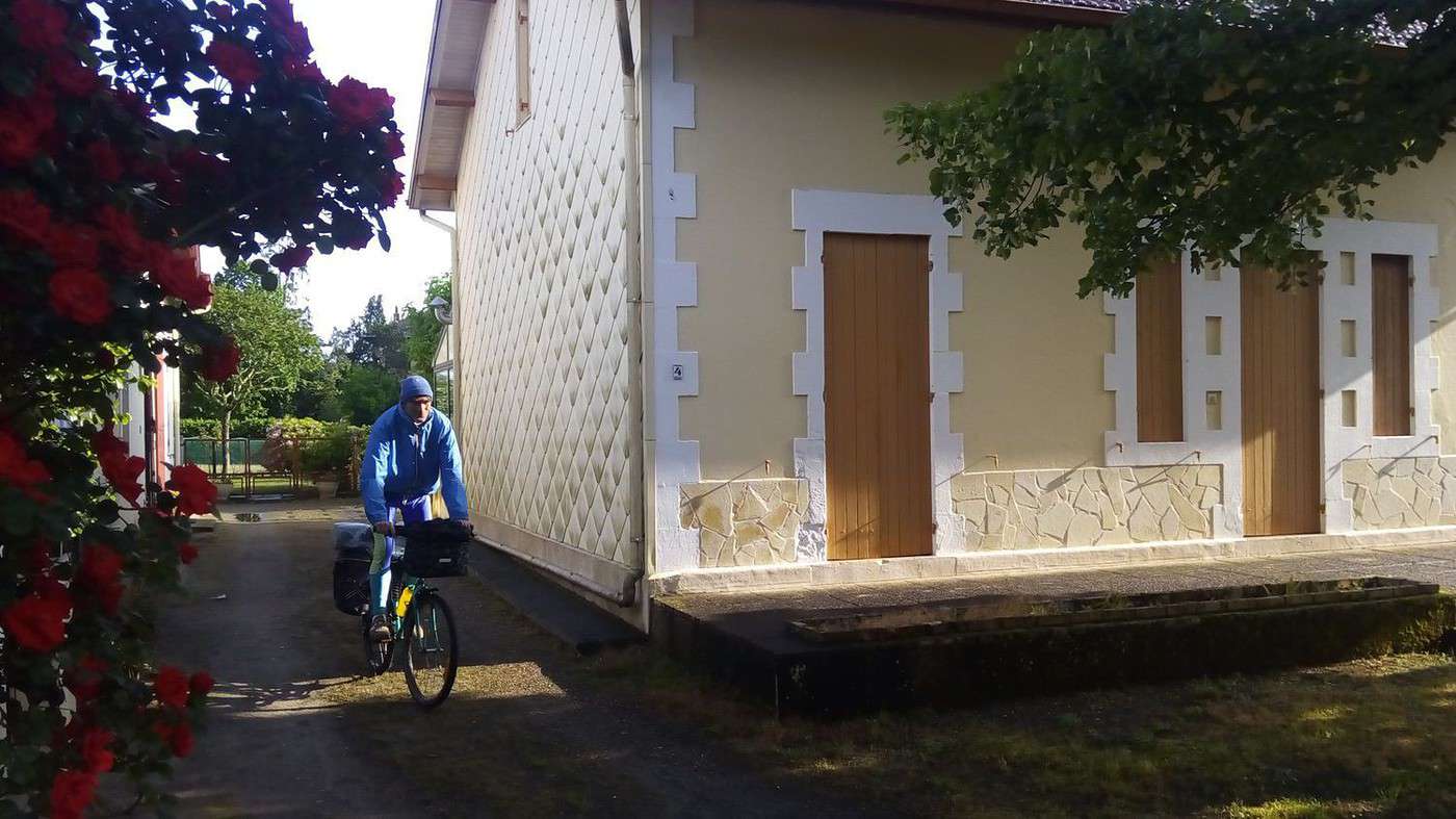
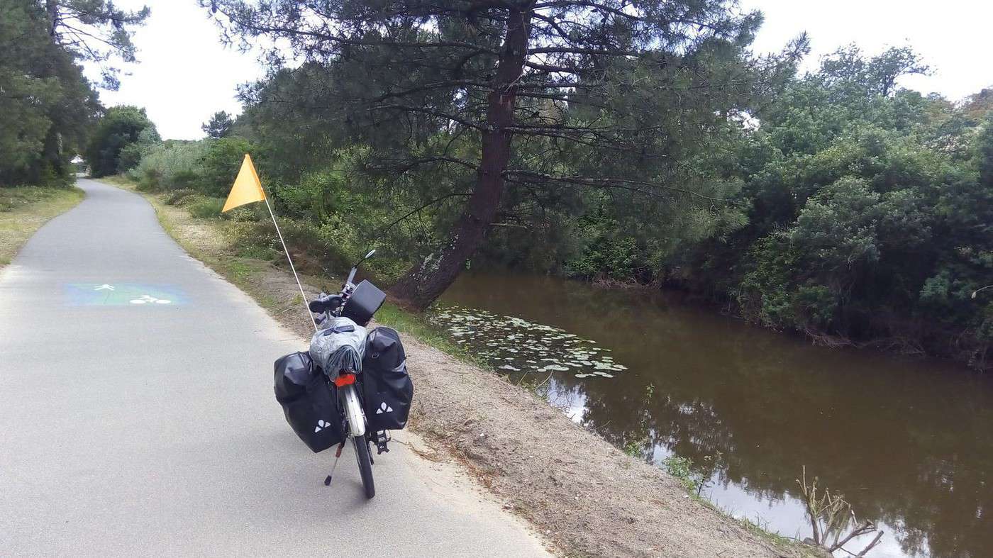
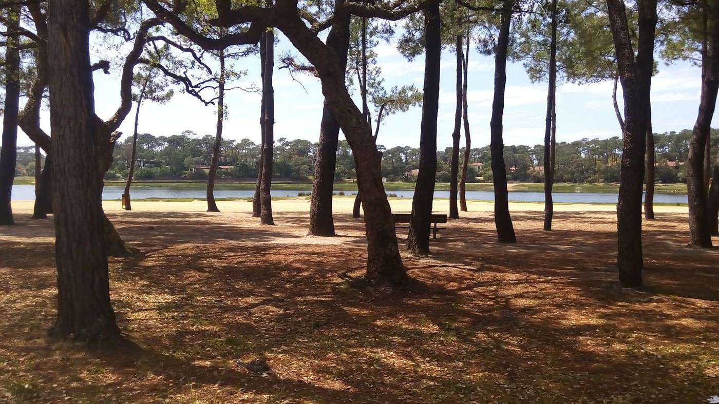
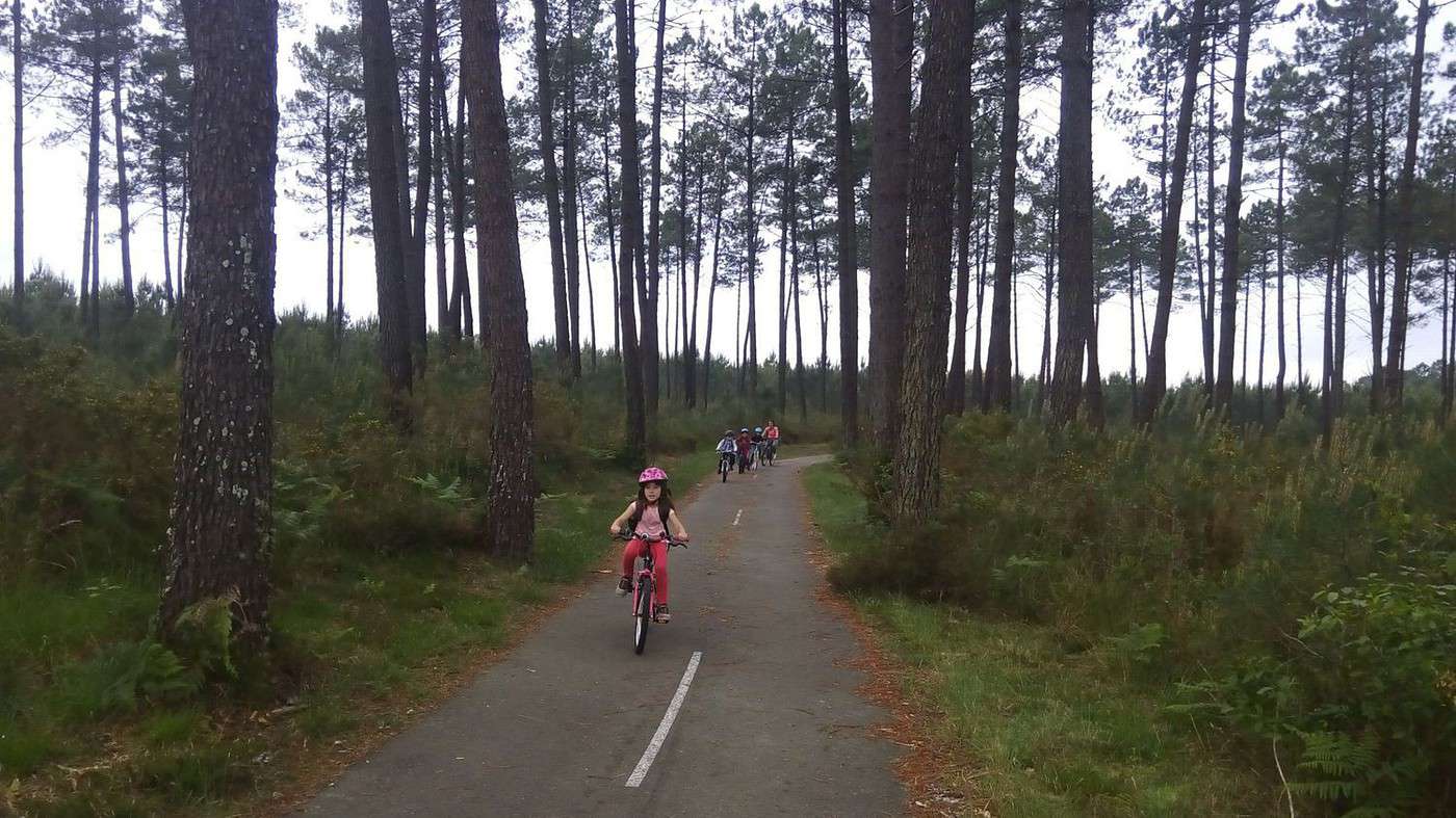
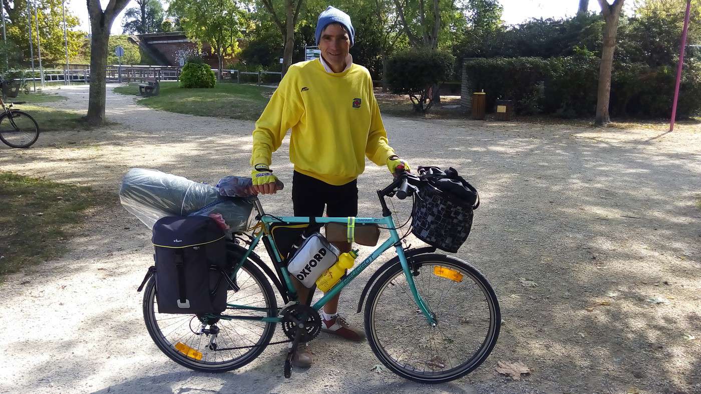
After taking departure photos, we rode about 10 km on the small road through Garosse and Sindères to reach the A63. After crossing over it (like we did in September), we followed it for 3 km until the start of the *Voie Verte du Résinier* (see the photo at the top of this page).
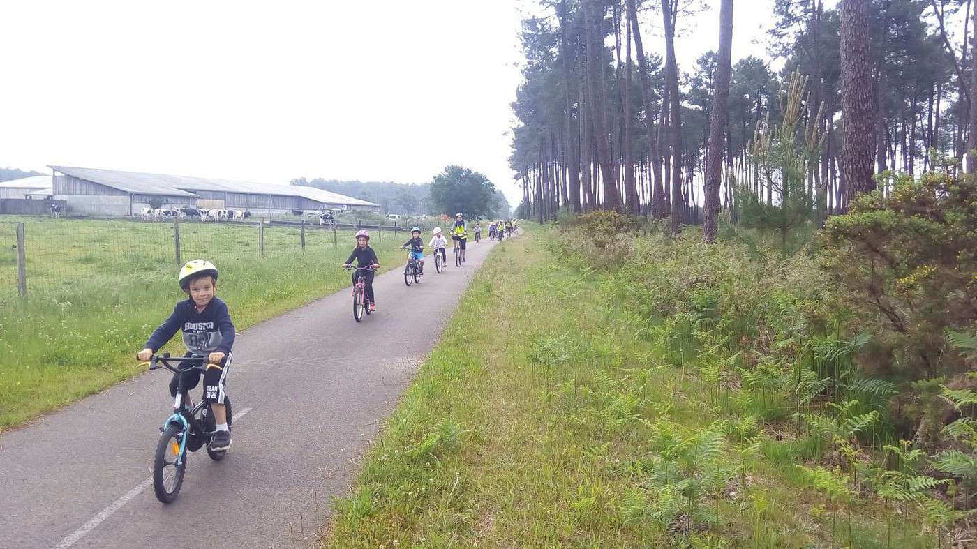
Off we went for dozens of kilometers of cycle paths and pine trees, except for village crossings.
Pure bliss! Made even easier by the 1 € brochure I’d bought at the Lit-et-Mixe tourist office. You can download this well-designed map as a PDF here:
www.cotelandesnaturetourisme.com/...rir/A-pied-...
We took the Vignac path, then the Cap path, to reach the *Vélodyssée*.
The only downside? If it starts raining, there are no shelters along the route, which alternates between moorland and pine forests. Especially since foresters trim branches as the pines grow to avoid knots in the wood.
Luckily, we reached Lit-et-Mixe around noon when it started raining. We took shelter under the gazebo in the public garden. While Dominique watched my MTB and chatted with two local cyclists, I went to the grocery store (which also sells bread, since the bakery was closed on Monday). I came back with chips, Swedish crispbread, and a cheese *tourteau*—which turned out to be dry and almost flavorless. The season hadn’t started yet.
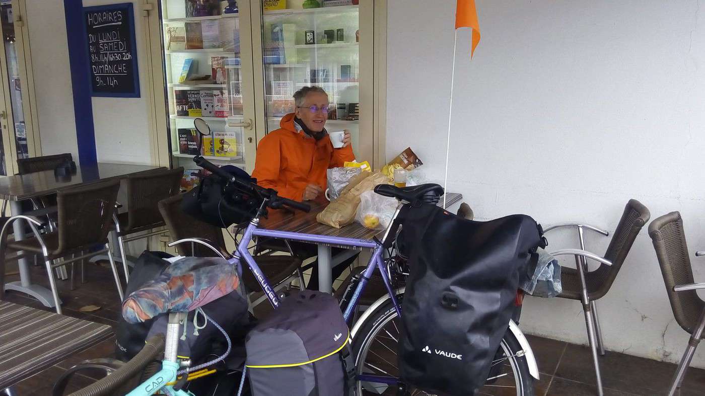
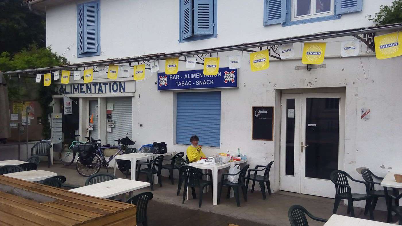
Dominique asked the bar if we could eat on their terrace in exchange for a drink. Thanks to him, we were well set up and sheltered from the rain (see photo).
After eating, the rain stopped. This time, we didn’t go all the way to Cap de l’Homy. We took the *Vélodyssée* (EuroVelo Route 1): www.lavelodyssee.com/...e-latlantique-a-velo south. Too bad it’s always 2 or 3 km inland. A bike path right along the ocean would be tough to build, especially since the dunes are essential for protecting the coastline.
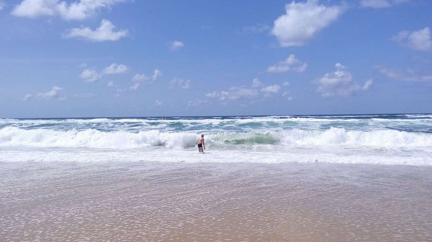
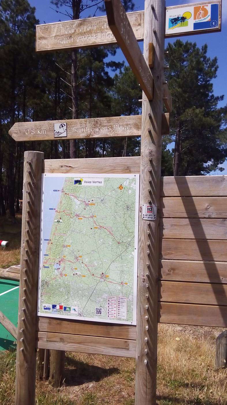
After about 50 km, we stopped to see the ocean at St Girons Plage. I couldn’t resist a swim. Didn’t even have time to get cold—I got knocked over by the waves 3 or 4 times. The friction warmed me up. Dominique, taking photos with my smartphone, looked a little worried seeing me tossed around by the waves.
I got dressed without feeling cold, despite the 15°C water and 17°C air—my body was pumped from the elements. Of course, if I’d driven here, I wouldn’t have even considered swimming.
Every kilometer, we saw signs pointing perpendicularly: "52 km," then "51 km..." No idea what that means, since the EV1 runs parallel to the ocean. If anyone knows, feel free to share!
We reached the Léon pond via the *Voie Verte*, which loops around it before crossing the town of Léon. There, we found *Camping du Col Vert*: www.colvert.com/
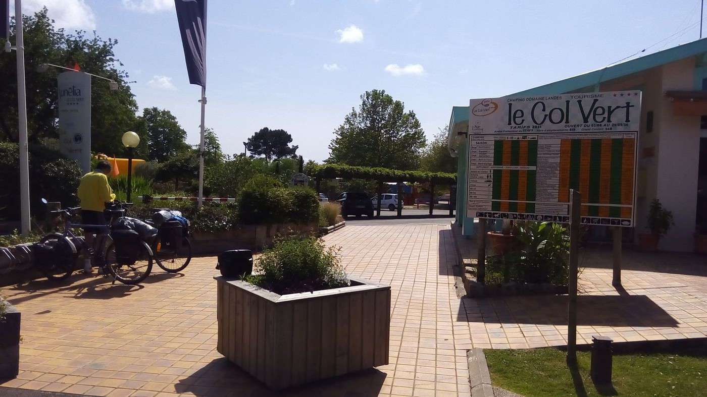
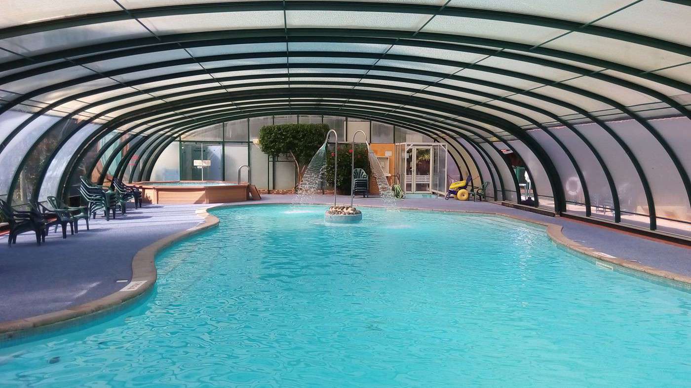
Even though the pitch was 15 €, our first thought was to skip this 4-star place and look elsewhere. But on our way back from the pond’s edge, I spotted the indoor pool and saw it was open (a few swimmers were there). I said, "At this price, it’s worth it." At reception, a trainee helped us select the *Vélodyssée* package, and we paid 10.22 € (including tourist tax) for two cyclists and a tent.
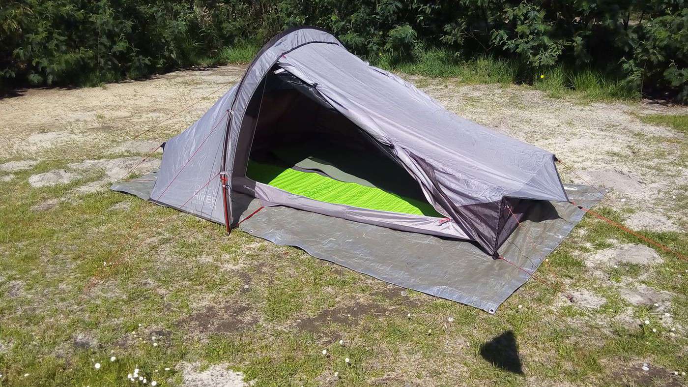
I got to test the tent I’d just bought: www.decathlon.fr/...ht-2-id_8245650.html
I was tired of 1 kg tents for 20 € or 30 € with no double roof, full of condensation, and so cramped I nearly got claustrophobic.
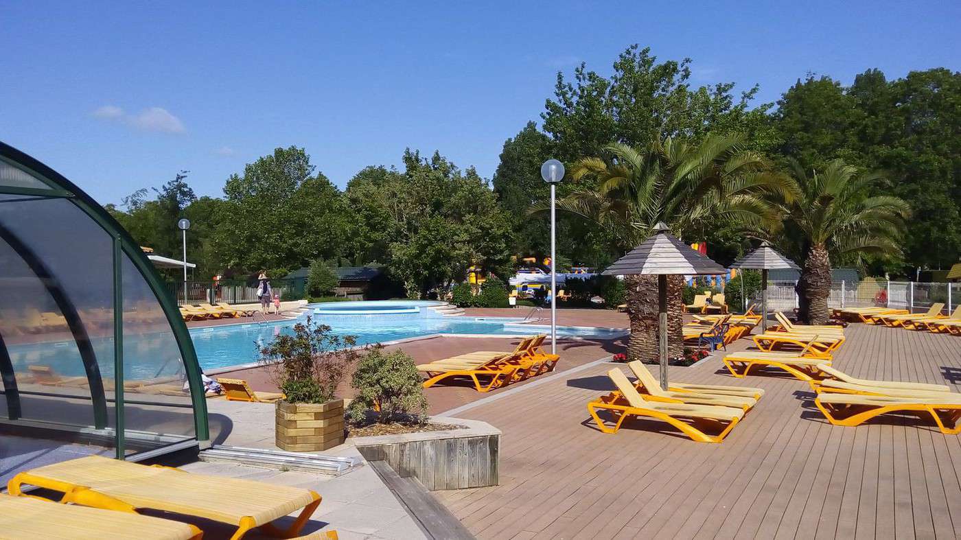
After setting up, we enjoyed the pool and lounge chairs.
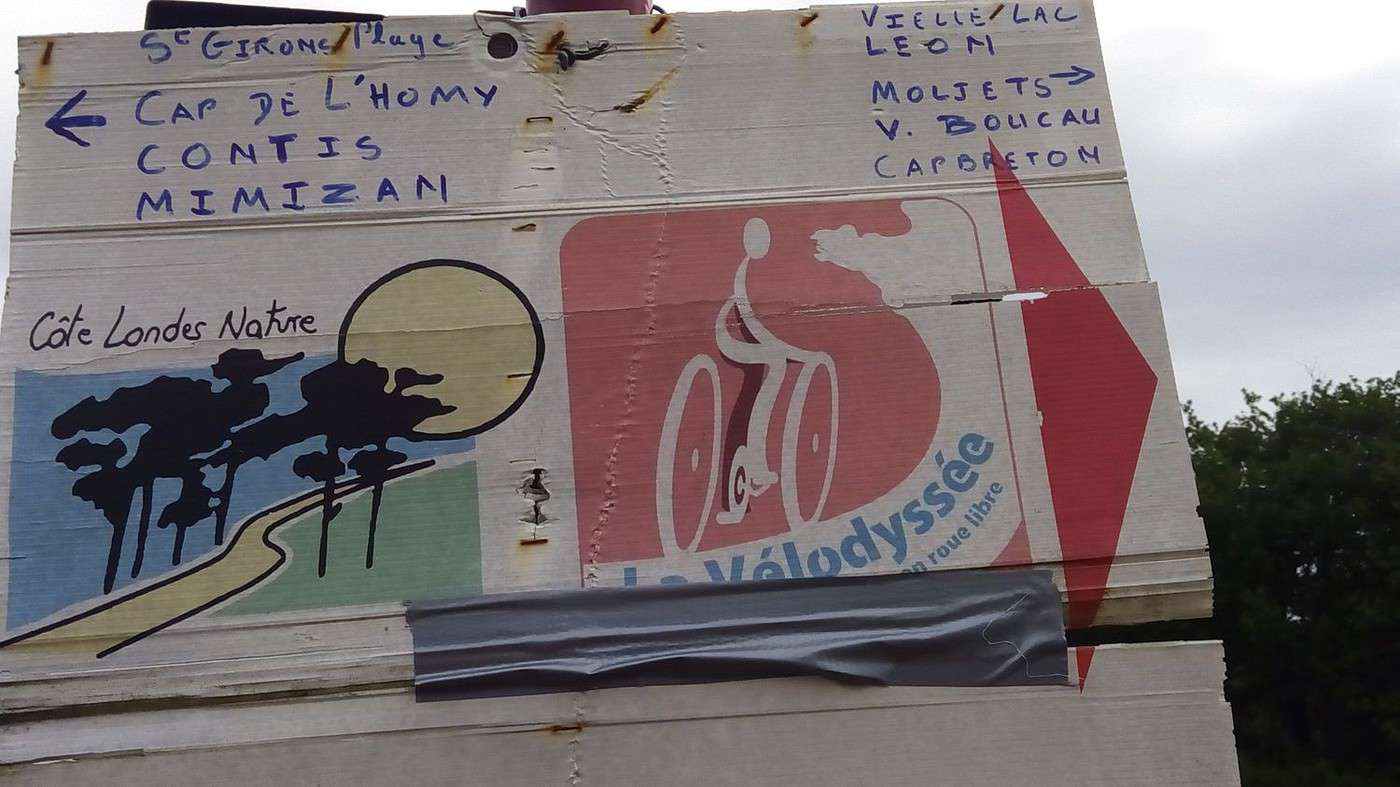
Then Dominique checked if a restaurant was open, and we headed to the opposite side of the lake for dinner after crossing Léon. The signage in this area was so bad that someone had put up a handwritten *Vélodyssée* cardboard sign.
We were underdressed in our lightweight sleeping bags and got cold all night—even feeling the cool air on our faces. Confirmed: with everything zipped up, the tent is well-ventilated.
Mountain Biking (MTB) Along the Canal Between the Two Seas (France)
Facteur4 · 2016-05-31 · Message 207 of 310
Tuesday, May 24th – Étang de Léon at 9:30 AM to Anglet at 7:30 PM, 97 km
We enjoy Dominique’s stove to have some hot chocolate, then tea or coffee.
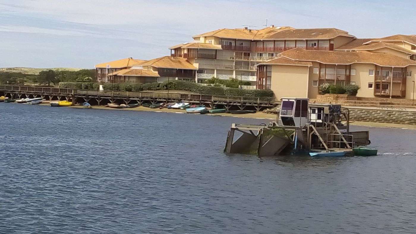
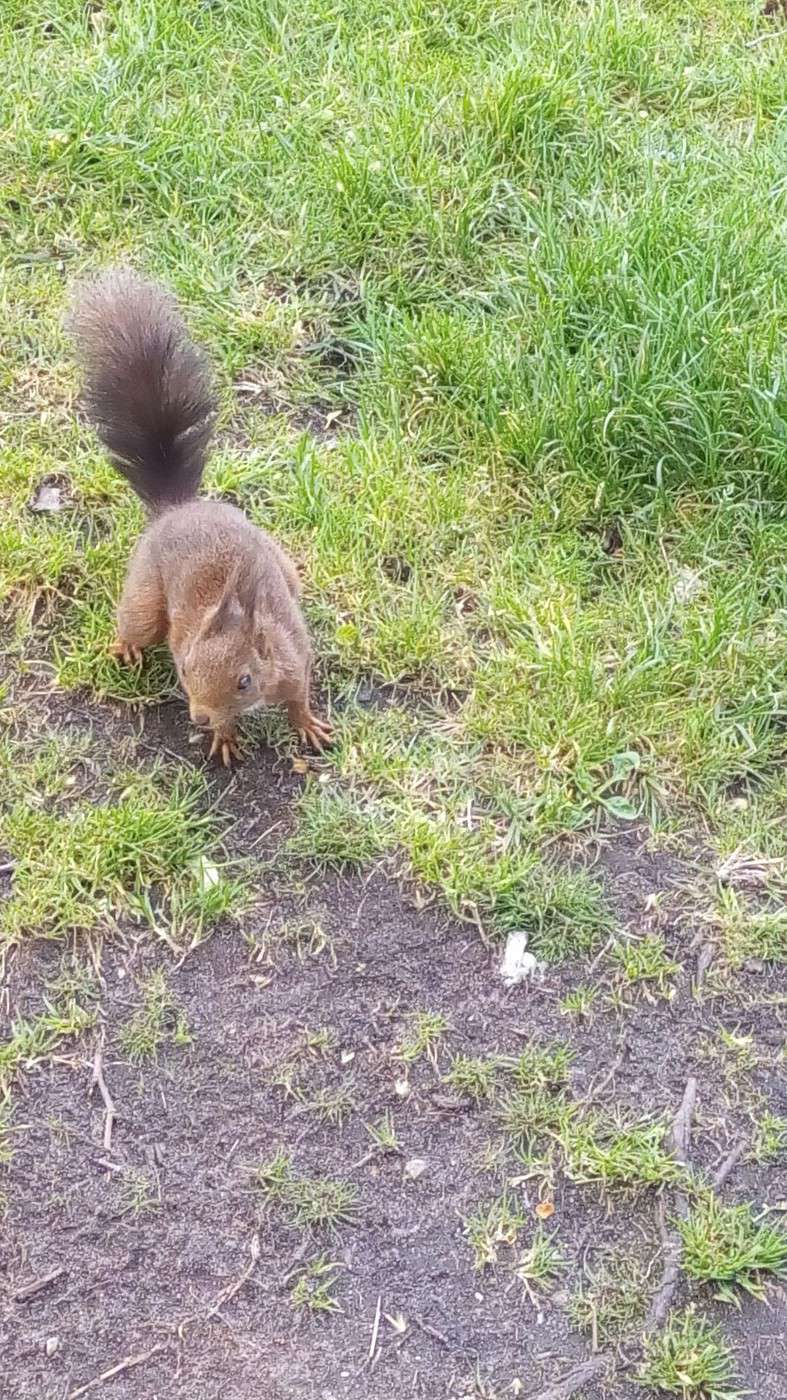
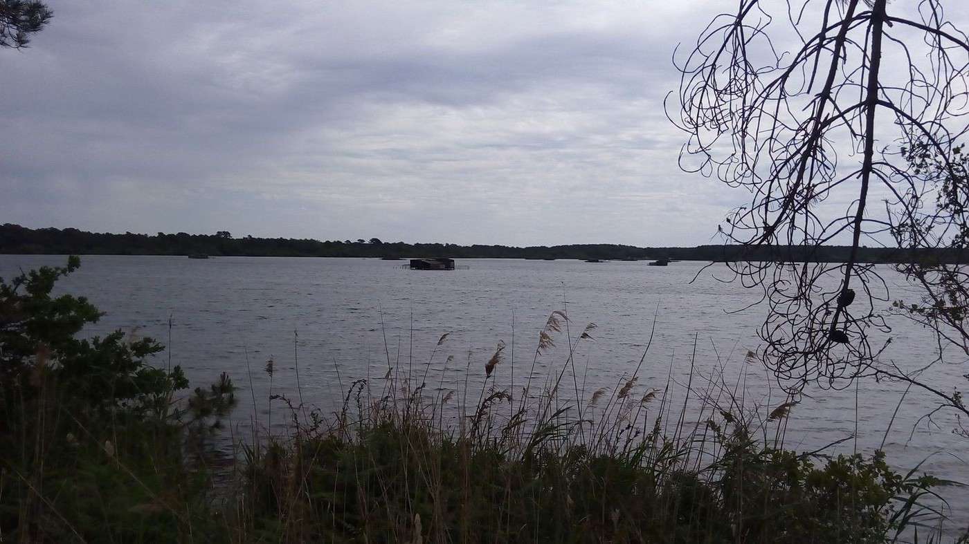
Since rain is forecast for tonight, we book accommodation at the Family House of our works council in Anglet. We take advantage of Léon’s market to buy cherries, tomatoes, sausages, sheep’s cheese, spring rolls for me, and nem for Dominique. First stop in Vieux Boucau, where a dredger clears the algae. With board and lodging secured (we’ve also booked dinner), we can do some sightseeing. As another greenway invites us, we leave the EV1 to head to Soustons and have a picnic by its pond. A squirrel approaches several times, drawn by the pieces of bread my friend offers it. We then take the D652 toward Tosse and head back toward the coast between Étang Hardy and Étang Blanc. The latter is dotted with duck-hunting cabins.
We pick up the Vélodyssée again north of Seignosse and tackle an urbanized stretch of the coast.
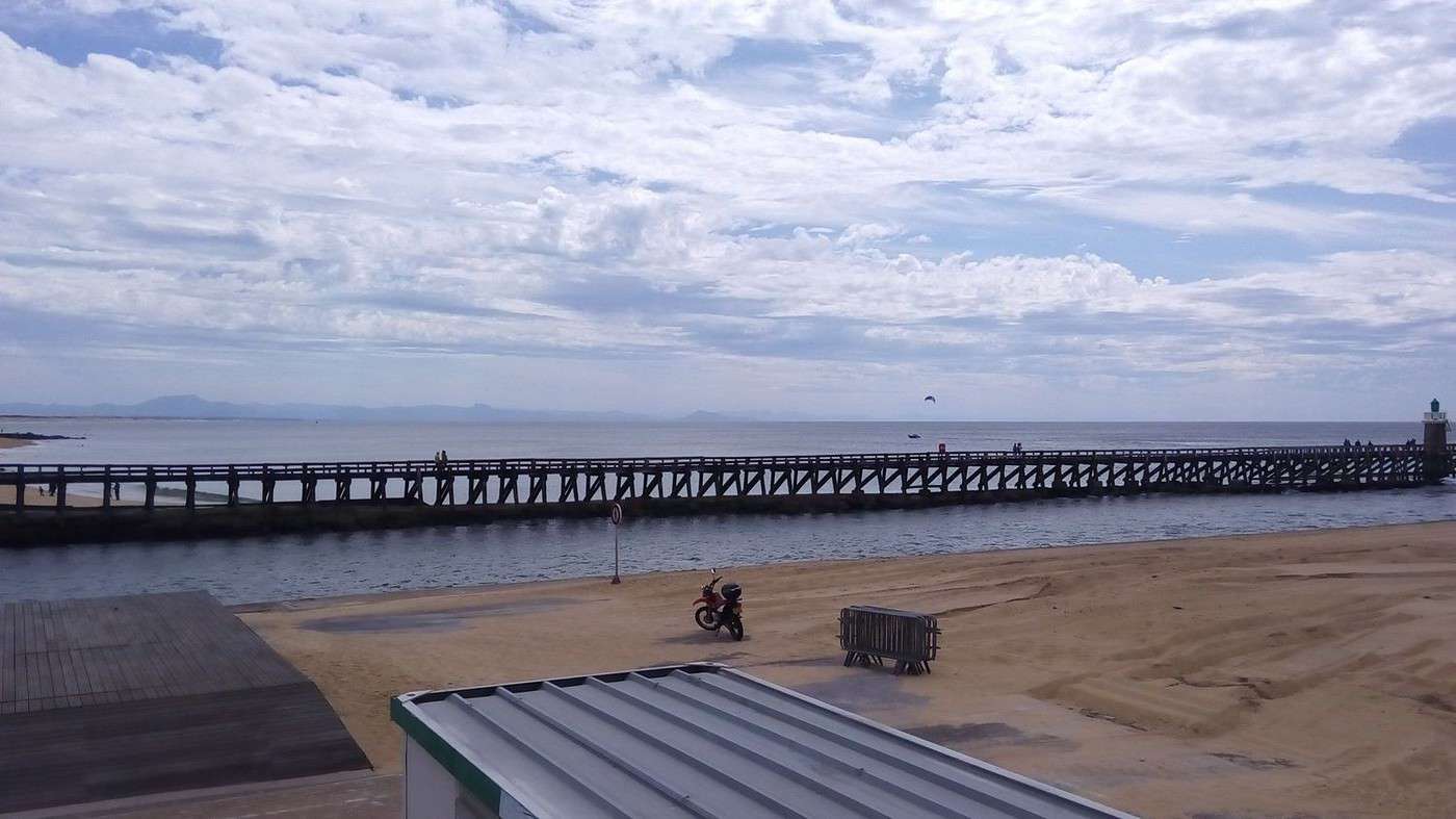
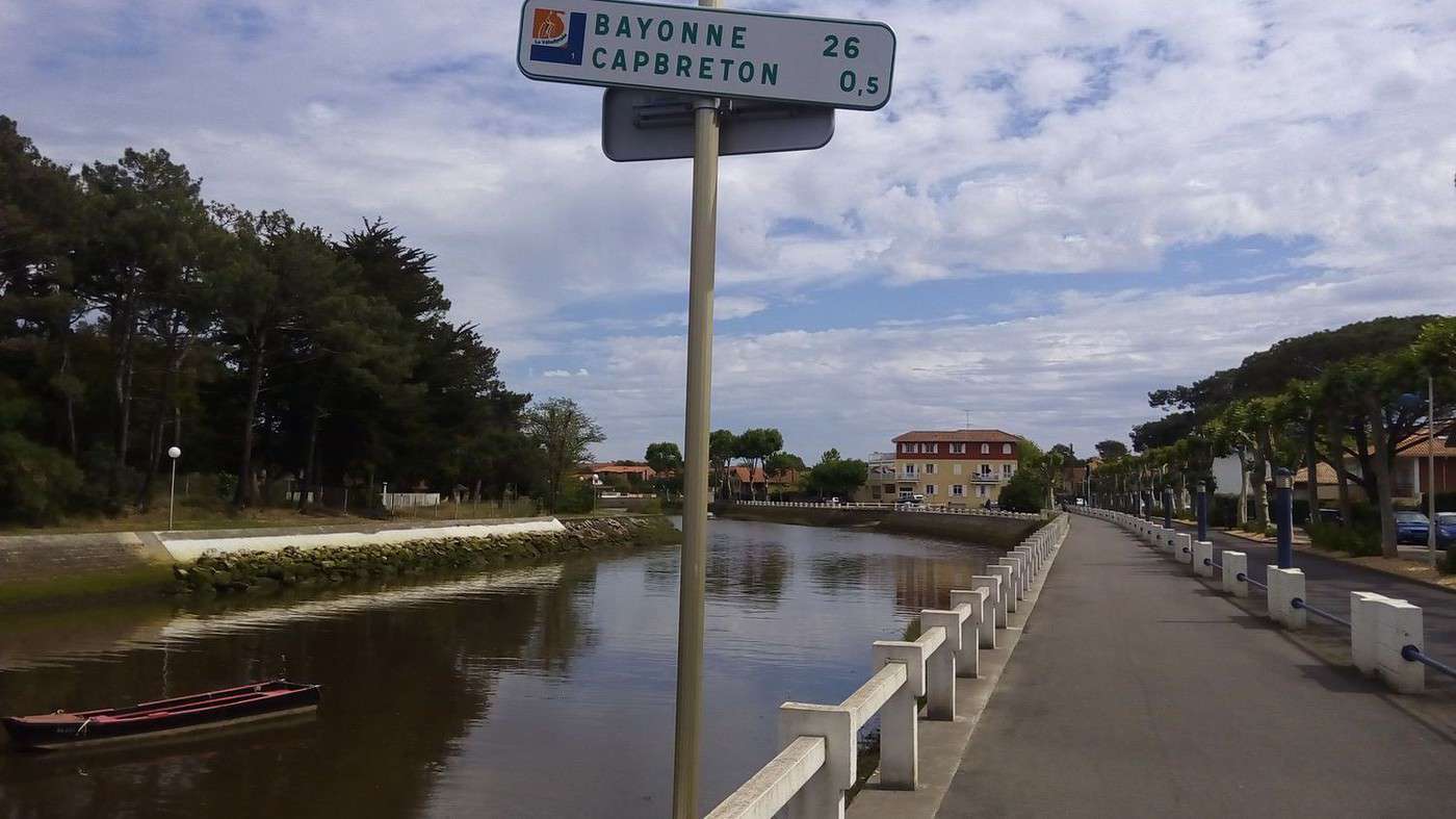
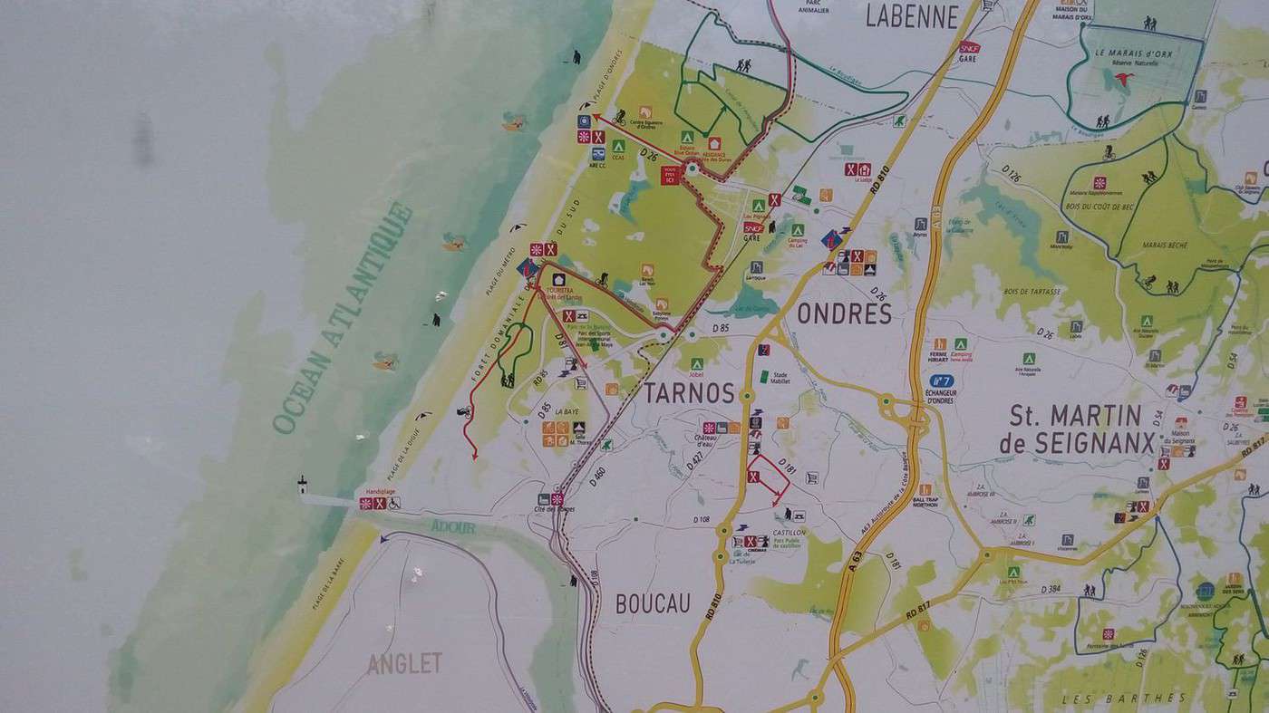
We stop for a drink in front of Capbreton’s beach, then continue toward Labenne and Ondres. One thing worries me: the signs with the circled 1 and European stars point to Bayonne. I don’t want to go there because the city is at least 5 km inland. I hope to reach Anglet via the coast but fear getting stuck at the Adour River. An information sign showing two routes—one to Bayonne and the other to Anglet—reassures me. But at a roundabout with lots of Vélodyssée signs, we no longer know where to go. A couple with a dog spontaneously gives us directions. Luckily, because I was about to take a dead-end along the coast. We actually have to go all the way to Bayonne and take the red bridge to cross the river. Here we are on the D810, a busy road at 7 PM. We call to say we won’t arrive before reception closes. Fortunately, our keys and sheets will be waiting for us. For now, we cross Boucau’s industrial zone amid a constant flow of trucks and cars. Only one EV1 sign as we approach Bayonne’s center. Luckily, once we cross the Adour, the bike path resumes along the river until the coast. After 90 km, at the estuary, I say we have a choice: continue on the EV1 along the ocean to Anglet or take a boulevard that runs alongside a park and golf course. Thinking it’s a bit shorter to reach the Family House, I first guide us onto a path labeled as a bike path in the park. But it looks more like an MTB trail due to the successive elevation changes, so I abandon it—which doesn’t please a driver who would’ve preferred to see me on it. Since we’re both exhausted, these last 5 km feel very long. Especially since Dominique, who like me has stayed at the vacation center before, tells me that’s not the way.
I insist it is, saying we’ll turn right at the next roundabout. But after a few intersections, I start doubting—driving gives such a different perspective. We turn on our smartphones’ GPS. They confirm we’re close. But a cyclist asks, “Where are you going?” He offers to guide us. He accompanies us for 1 km, then says it’s very close before leaving. Despite his directions, we can’t find the street or the building. I check the GPS again, which sends us the wrong way because I’d disabled location tracking while following the man. A little annoyed, Dominique asks a pedestrian, and we finally recognize the area. Phew! A cyclist staying there leads us to the bike garage. Just enough time for a shower before a comforting meal awaits us. A colleague from Douai joins us at our table. He took 1.5 hours to find the place by car because his GPS, where he’d saved the location after a friend guided him to the Family House, broke down, and he didn’t know the address…
Biking (MTB) along the canal between the two seas (France)
Facteur4 · 2016-05-31 · Message 208 of 310
Wednesday 25/05 Anglet 09:30 AM – Léon 6:00 PM, 76 km
Since no rain was forecast, we decided to return to the Col Vert campsite. We quickly found the EV1 route on the beach. It then follows the Adour River toward Bayonne. A driver waved at us—it was the same person who had shown us the bike garage and was visiting his mother. I regret not giving him my card because he’s planning a bike trip. We crossed the red bridge and prepared to tackle the industrial zone. A cyclist called out to us and offered to guide us to Capbreton, where he was headed. He showed us the shortcut via the "piste des Allemands."
We chatted along the way. This Bayonne local was thrilled to ride at our pace (15–18 km/h). Usually, he struggles to keep up with his wife and arrives exhausted. I suggested he load her up with a trailer and the luggage since they’ll soon be following the *canal latéral à la Garonne* and the *canal du Midi*. According to him, she’s incredibly sturdy—she swims in the ocean year-round.
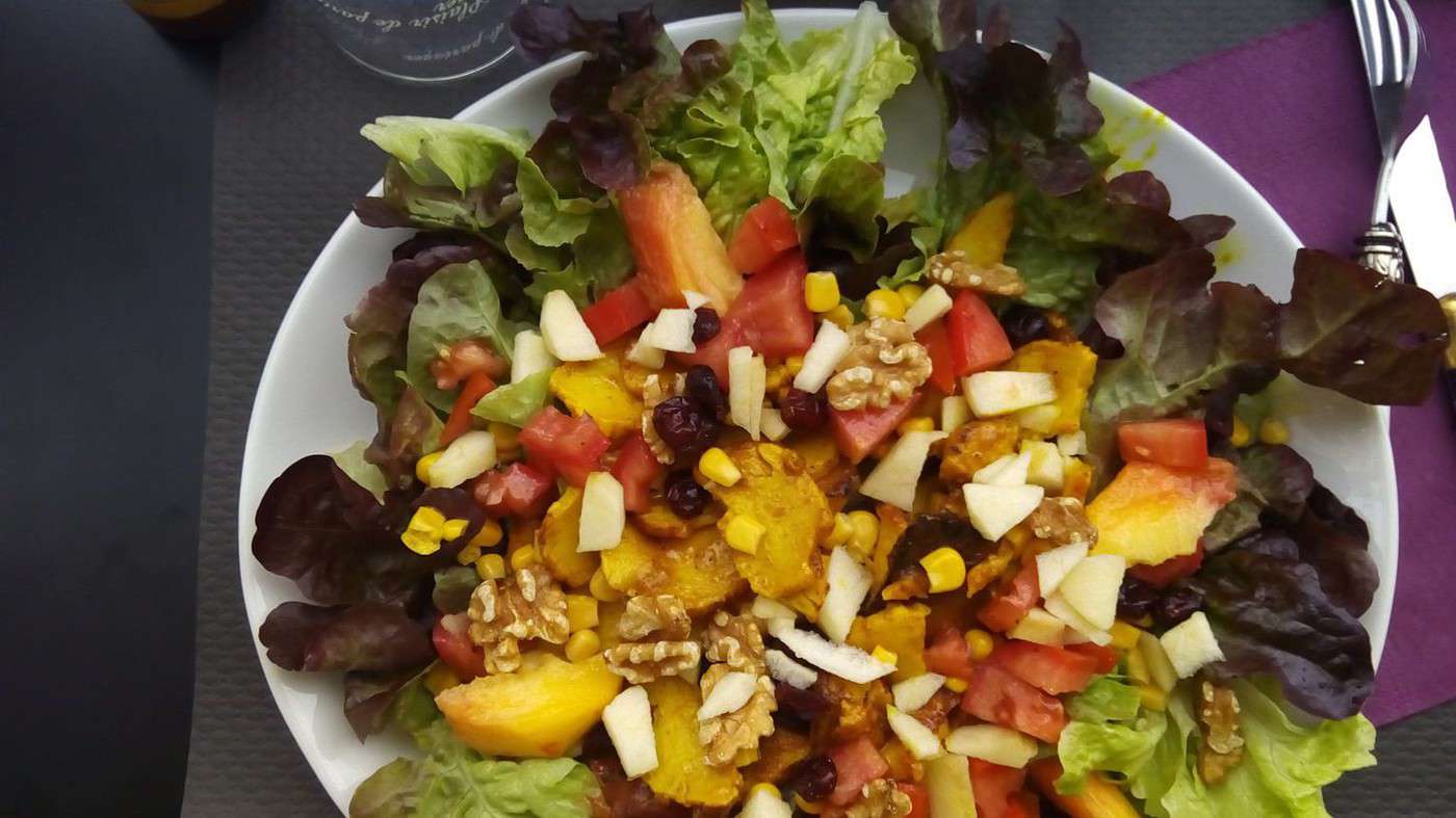
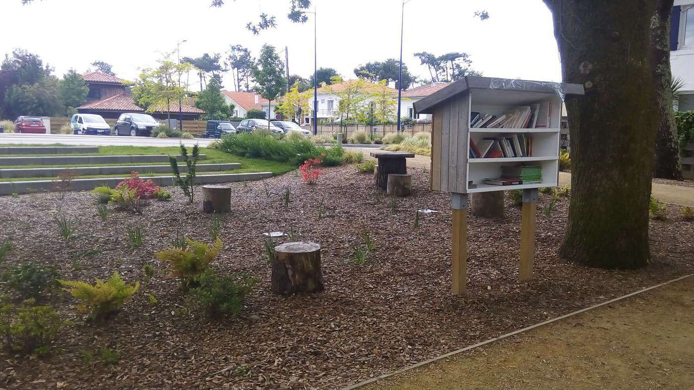
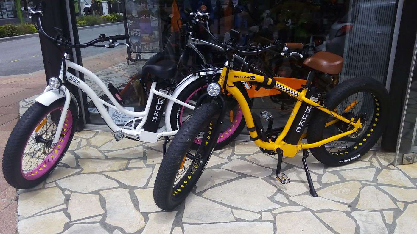
More immediately, he plans to go to Morcenx and stay overnight. Why, you ask? Because a *Voie Verte* ends nearby, and another begins there. In fact, we’ll take the second one on our way back to check it out. He even bought us a drink before we parted ways (he had a 4:00 PM meet-up). We had a salad with chicken and fresh peaches—not very warm—on a shaded terrace. After a photo of Capbreton’s public garden, we set off again. We swapped our MTBs for slightly trendier Fatbikes (see photo) and left the route to follow Hossegor Lake. We rejoined it at Seignosse Beach, puzzled by the same question: Why does the sign say *Léon 25 km* to the SOUTH? Continuing north (I even checked my compass), we found a sign for *Léon 23 km* in front of the tourist office, confirming the error. The hostess said she’d look into it. I explained how surprised I was to have to go through Bayonne to reach Anglet and how we struggled in the 7:00 PM traffic of Boucau’s industrial zone before reaching the red bridge.
Are they waiting for kids on a family bike trip to get killed on the *Vélodyssée* before making improvements?
A pedestrian-cyclist footbridge near the coast would be a hugely useful solution for everyone.
Even though we were back in the Landes (and thus not Bayonne’s responsibility), she went to fetch a brochure of the major cycling routes in the Pyrénées-Atlantiques.
fr.calameo.com/...00024149e1d968e660c4
(They hadn’t offered it at the Anglet tourist office.)
She showed me a project to follow the Adour River on both banks. (Julien Savary later confirmed it’s supported by www.af3v.org/index.php.)
After some shopping and a well-deserved beer in Léon, we arrived at the campsite at 6:00 PM. I told the hostess that reasonable prices keep customers coming back and that I didn’t understand why they didn’t advertise the *Vélodyssée* rate on the outdoor sign. With the EV1 so close, many would be tempted. She mentioned the pool closes at 7:00 PM—luckily, because if we’d started by pitching the tent, we wouldn’t have had time to enjoy it.
We had dinner at the tables near the barbecues, appreciating the bouillon cubes and vermicelli I’d packed. We finished our digestive walk around the campsite (35 hectares) just before the 10:00 PM rain. Despite the cloud cover, we didn’t get cold that night.
Biking (MTB) along the canal between the two seas (France)
Facteur4 · 2016-05-31 · Message 209 of 310
Thursday 26/05 Léon 08:30 Morcenx 14:30 63 km
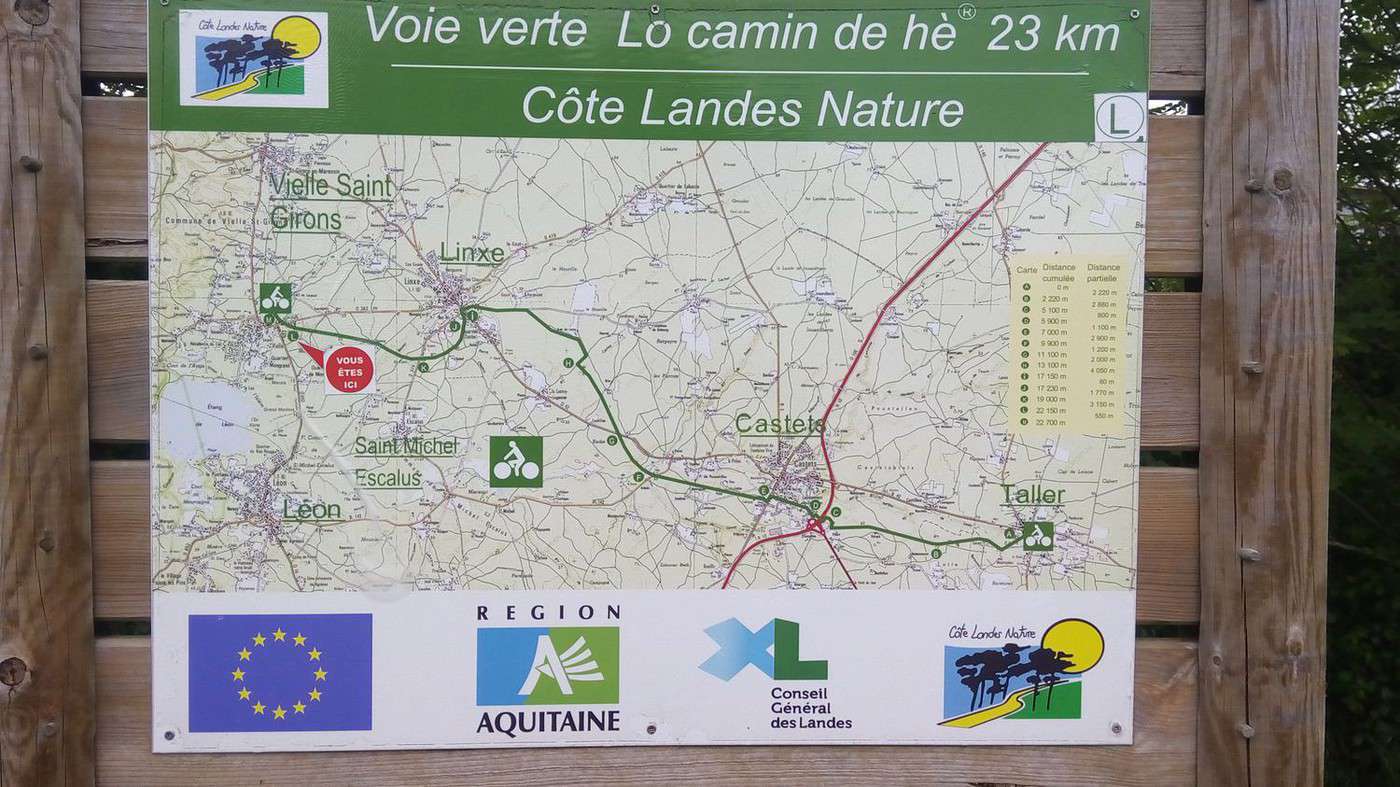
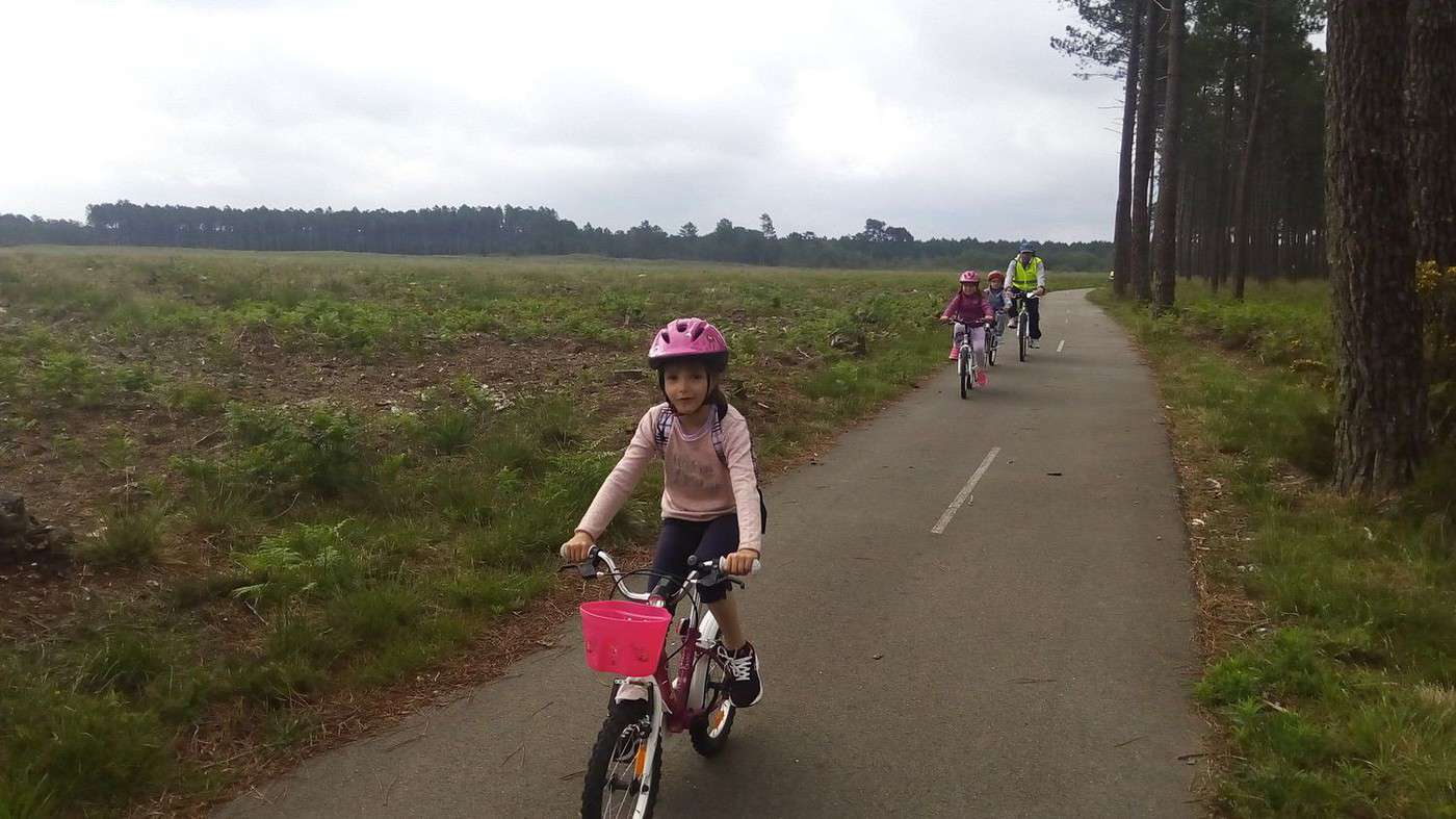
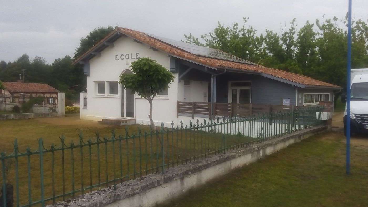
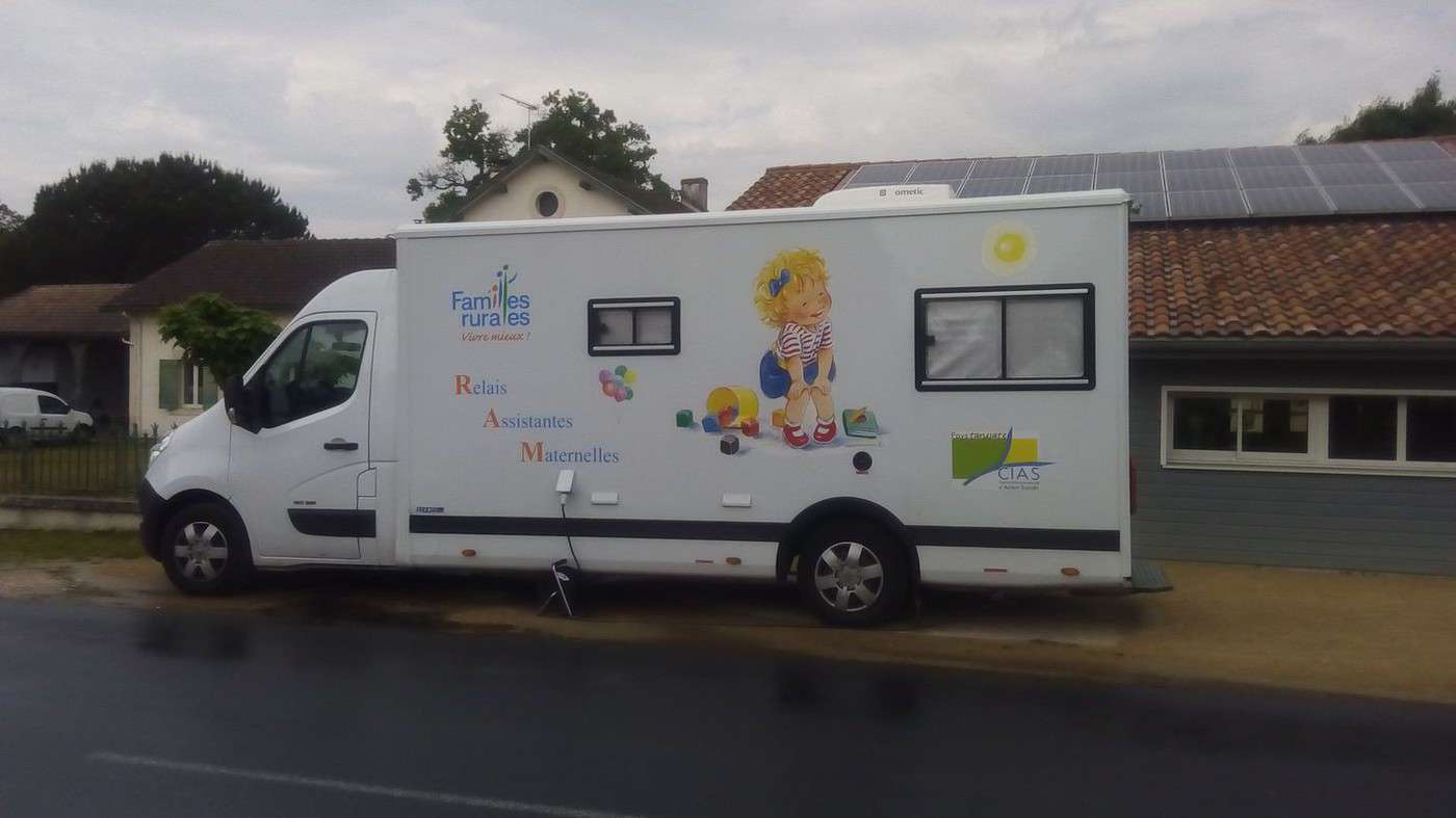
We were woken up at 5:30 by the birds chirping (luckily we’re on summer time). There’ll be some laundry to dry. We let ourselves get carried away by the Vélodyssée. While checking the trail map, I imagined we were in Léon, but we’re actually 5 km north, by the Léon pond. Since I was unsure at an intersection, an elderly gentleman on a road bike gave us directions. We should’ve taken the direct route to Veille to find the Greenway leading to Castets. It’s the Lo Camino de Hé trail, which is really pleasant through the countryside. We didn’t come across anyone for 23 km except for a whole primary school. Some of them even had little training wheels—it was charming. Lots of volunteers were accompanying them, and the group stretched out over several kilometers. We squatted on the terrace of a grocery bar that seemed abandoned. We doubted it at first because even the umbrella was still there. Turns out they were on holiday from May 17th to 27th. We sat like kings, sheltered from the rain, and it wasn’t even cold. Still, we had to ride about 20 km in the rain. But it didn’t matter because we made it home. In one village, the *Relais des Assistantes Maternelles* had set up at the school.
Summary: 319 km in 4 days with pretty good luck for the weather (the rain fell at the least inconvenient times) and discovering a well-located **** campsite relative to our range.
Dominique was happy to tell his wife that we’d only spent a total of 107 € each, all included. That’s thanks to camping and picnics.
Actually, we should add 400 km by car. It consumes 7L/100km, which comes out to 0.10 €/km. Dominique had offered to split the fuel costs, but I told him no. Next time, he can take his own vehicle. Because I really want to go back to Morcenx—it’s perfectly situated to enjoy the cycling trails in the Landes.
Besides, my previous car (a 406 with the exact same 117 hp engine) cost me 26 cents per km:
Purchase (buy-sell) 0.11 €/km, insurance 0.02 €/km, maintenance 0.03 €/km, fuel 0.09 €/km.
I don’t understand why, when comparing with the train, people only count the fuel. I wear out my car with every kilometer and risk an accident with every turn of the wheel. I base it on 0.30 €/km, not even counting the pollution, which is priceless…
Biking (MTB) along the Canal between the Two Seas (France)
Facteur4 · 2016-07-11 · Message 210 of 310
Just like a year ago voyageforum.com/...post=7089660#7089660
I took part in the bike ride organized by Philippe Lasnier from www.afvelocouche.fr/
velorizontal.bbfr.net/...u-18-au-26-juin-2016
Along with his wife, we joined the home of the second organizer, located near Cahors, on recumbent tricycles.
This year, the route starting from there made a 390 km loop between the Lot and Aveyron regions.
I enjoyed this edition much less (I must say that last year I had said everything was perfect) because out of 10 recumbent tricycles, 6 had electric assistance. Some used it in moderation, but others were used to riding alone and draining the battery over the day.
I often found myself last, and that position is uncomfortable since, classically in any bike ride, the group leaves when the last one arrives. But above all, since I don’t like holding others back, I couldn’t stop at leisure to layer up or down, apply sunscreen depending on the weather, have a drink, or take a bathroom break. Even taking a photo only became possible once I caught up with the group.
All these things become easy with an electric motor. Plus, it adds safety to quickly clear an intersection or pull over when a vehicle approaches. The recumbent tricycle is great for chatting side by side without worrying about throwing the other person off balance.
The cumulative positive elevation gain over the week was 4800 m, and the necessary gear for autonomous camping created many gaps. The difference in equipment also caused tension (36V). Indeed, when a triker uses their motor brake to regenerate their battery and breaks another’s momentum, it provokes their anger. While the climb is very slow, the descent can be very fast (max 56 km/h for me—I’m a scaredy-cat on top of that!). Some daredevils have already reached 83 km/h. It’s necessary to keep your momentum to tackle the next climb, but it becomes essential if others have assistance.
Since I often held the group back, one participant (who didn’t have assistance) felt entitled to ask if I had health problems. I replied that I hadn’t trained because my last rides were on an upright bike (it’s not the same muscles at work). When he insisted, I told him that muscles, like fat, don’t stick to me. I could’ve added that as a Norman who moved to the Garonne Valley, I’d never biked in the mountains. Twenty-five years ago, staying in Luchon, I tried to climb to Bagnères de Luchon in first gear on my MTB (21 speeds). After 1 km, I turned back. Actually, with the tricycle, I could’ve made it. There’s no need to balance, for example. In Rieupeyroux, we crossed the town at 2–3 km/h.
A participant suggested that assistance might be a solution for me. I replied that I’d allow myself a motorized tricycle at 90. I’d motorize the help then.
I was glad I had a small chainring added: voyageforum.com/...post=7072067#7072067
Paired with the Rohloff (14 speeds in the hub), I stayed in that gear the whole ride. Except for the pre-stage and post-stage, where I used the big chainring.
Actually, I’d never have bought a tricycle if the Voie Verte along the lateral canal of the Garonne didn’t exist.
Especially since, eventually, it’ll go from Royan to Sète: www.canaldes2mersavelo.com/
I once climbed at 4 km/h in full sun, and it’s only human for someone with assistance to cut the suffering in half by climbing twice as fast.
Anyway, you have to wait for the last ones at the top (in the shade). Unfortunately, one participant had to leave us in Conques to attend a friend’s funeral in Grenoble—a situation I always dread when traveling. I’d feel quite helpless, far from any train lines. Even more so with a tricycle, which is banned by the SNCF. His wife came to pick him up from Arcachon. They loaded his trike, fairing, and trailing wheel with panniers into their big Picasso. They hit the road after dining with us at the campsite.
In these circumstances, with a heavily loaded trike and no assistance, I doubled my efforts.
Every time I went ahead to gain ground, I didn’t have much luck.
The first time, I was left behind by the lead cyclists but ahead of the last ones. I set off alone toward Rieupeyroux but couldn’t catch up. So, before entering the town, I decided to turn and descend, knowing the picnic was by the lake. After a steep descent, I ended up in a dead end at a place called Gentil. An elderly lady, alerted by her dog, opened a private path to save me from having to climb back up. She showed me the way, repeating the directions with, of course, a lot of *gentillesse* (kindness). Philippe borrowed his wife’s trike (without the trailer) to go fetch the first ones waiting higher up.
Leaving Cahors first, stopped at an intersection, I no longer saw anyone following me. Not having the courage to go back down, I waited. I asked a jogger who confirmed I hadn’t taken the wrong road—they’d all stopped for a flat (the only one).
Another time, on a less steep climb, I was leading to keep my momentum. Seeing the sign for Laburgade, I thought I had to turn left. I waited without shade until my phone rang to tell me I should’ve turned at the previous intersection. Too much! Even in front, I managed to make the group wait.
Too bad—I was starting to get ready for this ride by the end of the week. No, it’s mostly that the terrain became less steep. Since I don’t have much torque (power) in my legs, I compensate by spinning. But that’s only possible over a short distance—typically a small bump after a descent, followed by another slope where the effort is worth it to keep momentum. On a long climb or without momentum on a short one, I have no choice but to use the smallest gear and climb very slowly.
But what comfort to benefit from this high-quality organization with reserved campsites and a pre-checked route. The group leaders never failed to point out points of interest while keeping an eye on our tricycles while we went to see a building, a dolmen, or a washhouse...
Thanks to Philippe and André. Thoughtful, they’d warn us if we were about to tackle a climb so we could remove layers or a descent so we could put them back on.
We started with rain. The morning after the first night of camping, where I was cold in my thin sleeping bag, it was 8°C. Luckily, the campsite in Villefranche-de-Rouergue had a lounge with tables where I had breakfast. I’d also dined there and read my newspaper until the match started on TV.
www.change.org/...;utm_medium=copylink
Then we had heat and enjoyed the stunning landscapes. I was able to swim in the Lot but couldn’t swim against the current. The campsite owner told me I was the first of the season and that the water was 16°C. The next day before lunch, I swam in the Célé, and in the evening, in the Vers.
Since I couldn’t help but say that all these hilltop villages look like Conques and all these rivers are ugly, at the morning briefing of the second-to-last stage, I’d said: “Watch out when arriving at the campsite—it’s raining in Vers.” It was prophetic. Before 10 PM, a violent storm hit our tents. The dike protecting us from the rising Lot also trapped the rain. Some, slightly in a hollow, saw their sleeping mats turn into waterbeds. One of them, invited by his neighbors, left his tent for the night. This let me confirm that my tent and VAUDE panniers are waterproof, but not my saddlebags:
www.radicaldesign.fr/...oches-laterales.html
But they’re not meant to be. They’d make a better pool!
Total: 561 km in 46 hours of riding, so still an average of 12 km/h for me.
Thanks again to André for his hospitality and kindness. I was able to help him out when he lost a bolt on his chain guide, but not with welding the trailer drawbar—he had to get that fixed at a mechanic’s.
Thanks to Philippe for picking me up almost from home, for his perfect organization, and for his very complete trip report: www.as3r.fr/...voyage-51-page1.html
Thanks also to his wife for improving the visibility of my flag:
http://velocouche.ch/wp/boutique/fanions-hp-velotechknik/
The orange wasn’t bright enough, so she sewed on fluorescent yellow and orange strips.
PS: Rereading this, I realize I used the word *assistance* six times. It’s indeed the word that will characterize this *Vélorizon* for me. It’s great that it allows trikers who couldn’t otherwise participate to join. But it’d be a shame if it prevented others who could do without...
Video here: share.orange.fr/#Ad5pwsehQA19c7308fdb
Sort by name and select ascending order to see the photos in sequence here: share.orange.fr/#X0RS8rJD6h19c7309027
Biking (MTB) along the Canal between the Two Seas (France)
Facteur4 · 2016-07-13 · Message 211 of 310
After spending 10 days in Moissac, Francine, who took part in the Lot and Aveyron bike tour (see previous post) with her electric-assist AZUB, got back on her tricycle for the Arcachon Basin.
I joined her on the Greenway along the lateral canal of the Garonne between Valence d’Agen, where I live, and Agen.
I suggested a map of the cycle route: www.canal-et-voie-verte.com/...spots%2Fhotspots...
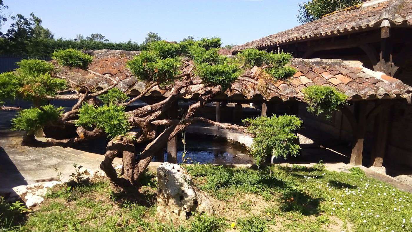
But her friends from Moissac had the same idea. I gave her some walnuts from my garden “for the road.” We visited the washhouses of Valence d’Agen and the old slaughterhouse, which has been turned into a rest stop. See photos here: voyageforum.com/...post=4229381#4229381
Then we rode on the Greenway to the Montalembert nautical stop, where we had a picnic. www.ville-boe.fr/...u/halte-nautique.php
In Nancy, she had equipped her tricycle with clipless pedals. It’s essential for a recumbent position to have your feet secured to the pedals. Noticing during the ride that we all had sandals and that it’s more comfortable in the South, she had ordered an identical pair from the campsite in Saint-Parthème, which I had found for her online. She received them in Moissac, but she hadn’t tightened the cleats enough. Luckily, she realized she couldn’t remove her shoe from the pedal on the canal bridge in Agen just before I left. Actually, she had lost a screw, and the shoe was pivoting on the cleat. I suggested going to a bike shop. Instead of heading back into the city center, I took her along the Garonne to the footbridge connecting Le Passage to Agen. Along the way, I thought the tricycle probably wouldn’t be able to access it. Indeed, it’s already tricky with a loaded bike (see photos). I left her at the café terrace just before the bridge. Good thing I had taken my upright bike. The bike shop www.comptoirdu2roues.com/
told me it would take hours to find a matching screw in his workshop. I called Francine, who agreed to buy a pair of cleats—we’d only use one screw. I tightened all four enough, and we parted ways after she bought me a farewell drink. She’s going to camp near Buzet and then head for the Bazas-Mios trail: www.af3v.org/...he-VVV-.html?voie=17
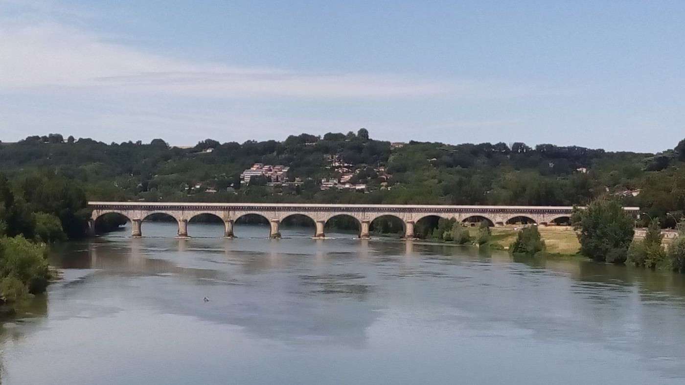
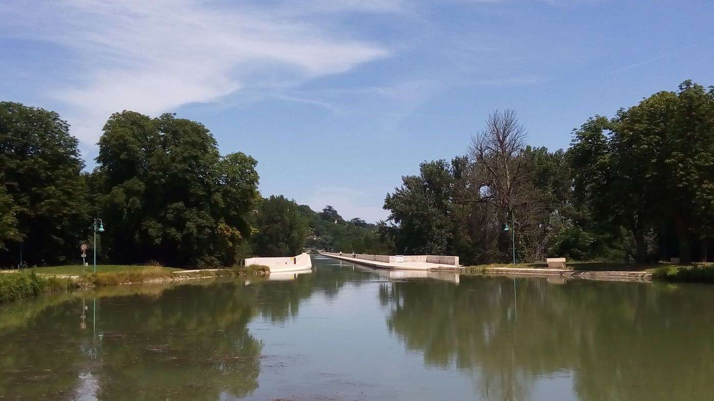
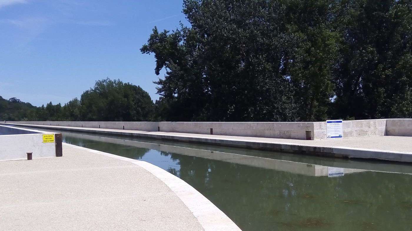
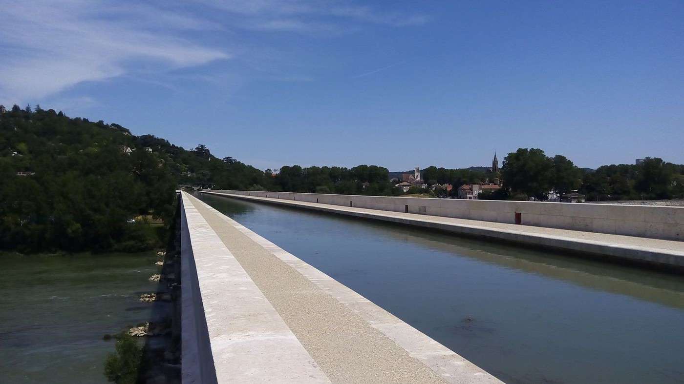
I crossed the canal bridge in Agen again, which has been renovated: www.sudouest.fr/...ges-1806893-3809.php. It looks fantastic (see photos).
However, no sign of work starting at the old water treatment plant:
www.agen.fr/...te?id_actualite=8858
Biking (MTB) along the Canal between the Two Seas (France)
Facteur4 · 2016-07-14 · Message 212 of 310
I arrived at the opening of the hiking fair in Moissac (Friday at 2 PM) and was one of the first two to drop my ballot in the box after checking out the stands. The other gentleman said we’d have no chance of winning. Turns out, I later learned from a letter from the Montauban Tourism Office that I’d won a boat ride for two people.
The ride starts from the canal port in Montauban and involves going down two locks to sail on the Tarn River.
The Montech Canal (or diversion canal) connects the lateral canal to the Garonne with Montauban, which was originally left off the route. See the history here:
voyageforum.com/...post=1919131#1919131
See the diagram here:
fr.wikipedia.org/wiki/Canal_de_Montech
It was tough to bike there from Valence d’Agen since the round trip would’ve taken all day. So, we used the Zoé, which consumed 22% of its battery for a relaxed 50 km drive (giving it a range of 227 km).
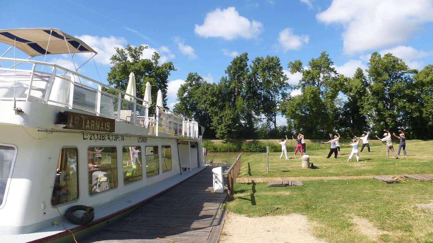
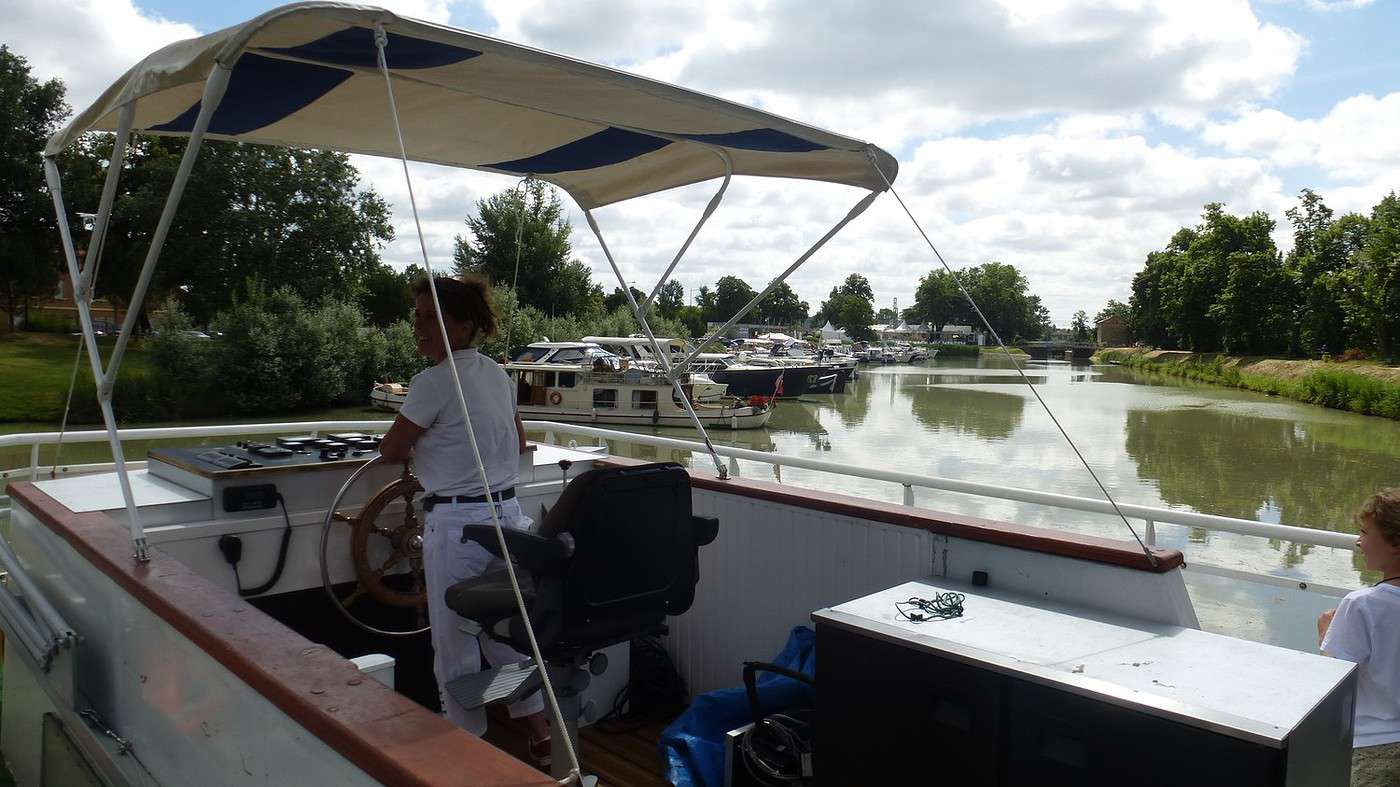
At the canal port in Montauban, we boarded *Lo Tarnaise*: www.tarnescapade.com/
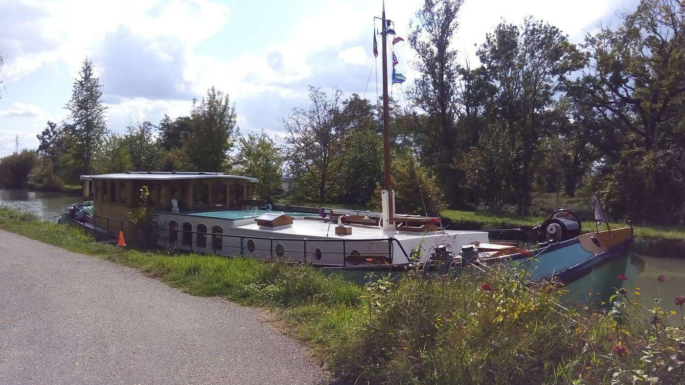
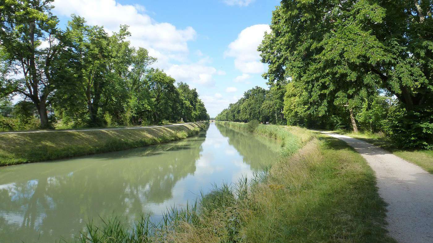
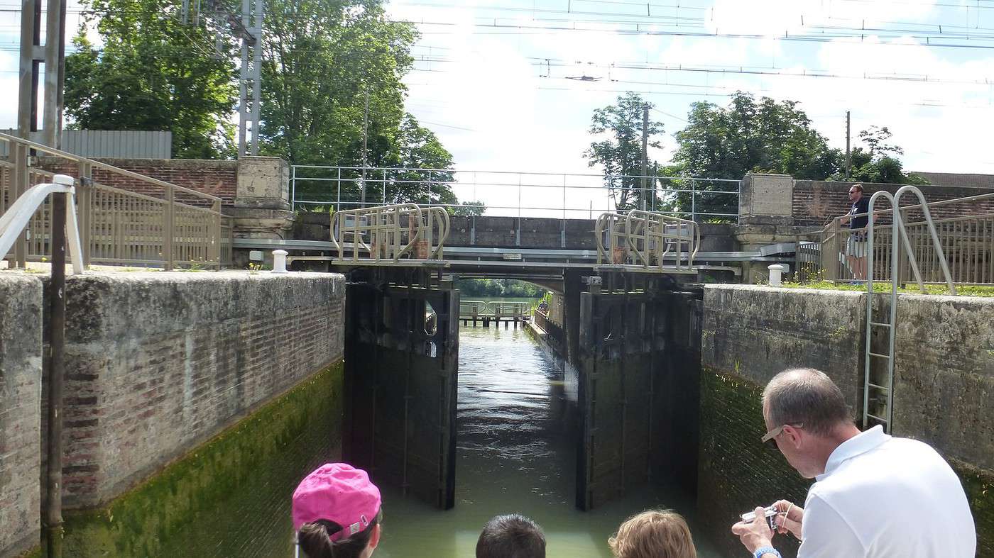
The boat went down two locks under the road and railway to reach the Tarn River near the rowing club. Since navigating toward the city center was impossible due to a weir, it headed toward Corbarieu, the navigable limit of the Tarn. See the photos summarizing this pleasant ride.
At the canal port, you can rent bikes from the harbormaster’s office:
montauban-tourisme.com/...cle-location-de-velo
montauban-tourisme.com/...-fluvial-a-montauban
Oddly, the info panel says the bike route is 20 km. It must account for the outbound trip on the left bank to Montech and the return on the right bank, which is paved for only 7 km up to Lacourt-Saint-Pierre. The last 4 km still aren’t paved, though they’re rideable. The completion of this *Voie Verte* (greenway) is planned. See the attached image here: voyageforum.com/...post=7286236#7286236
The last photo shows the pedestrian/bike underpass under the road and railway—super handy for reaching Montauban’s city center from Montech while following the canal.
For the return trip via a shorter 47 km route, the Zoé used 33% of its battery (giving it a range of 142 km!). The difference? We used the AC because of the intense sun. It was only 24 °C, though. Battery life might drop when it hits 35 °C—but maybe the same goes for biking?
Cycling (MTB) along the canal between the two seas (France)
Facteur4 · 2016-08-12 · Message 213 of 310
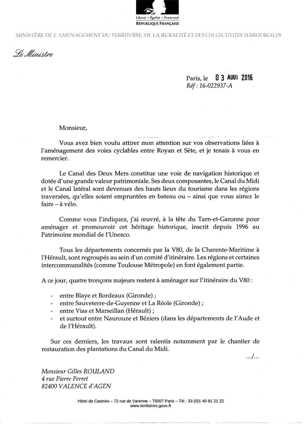
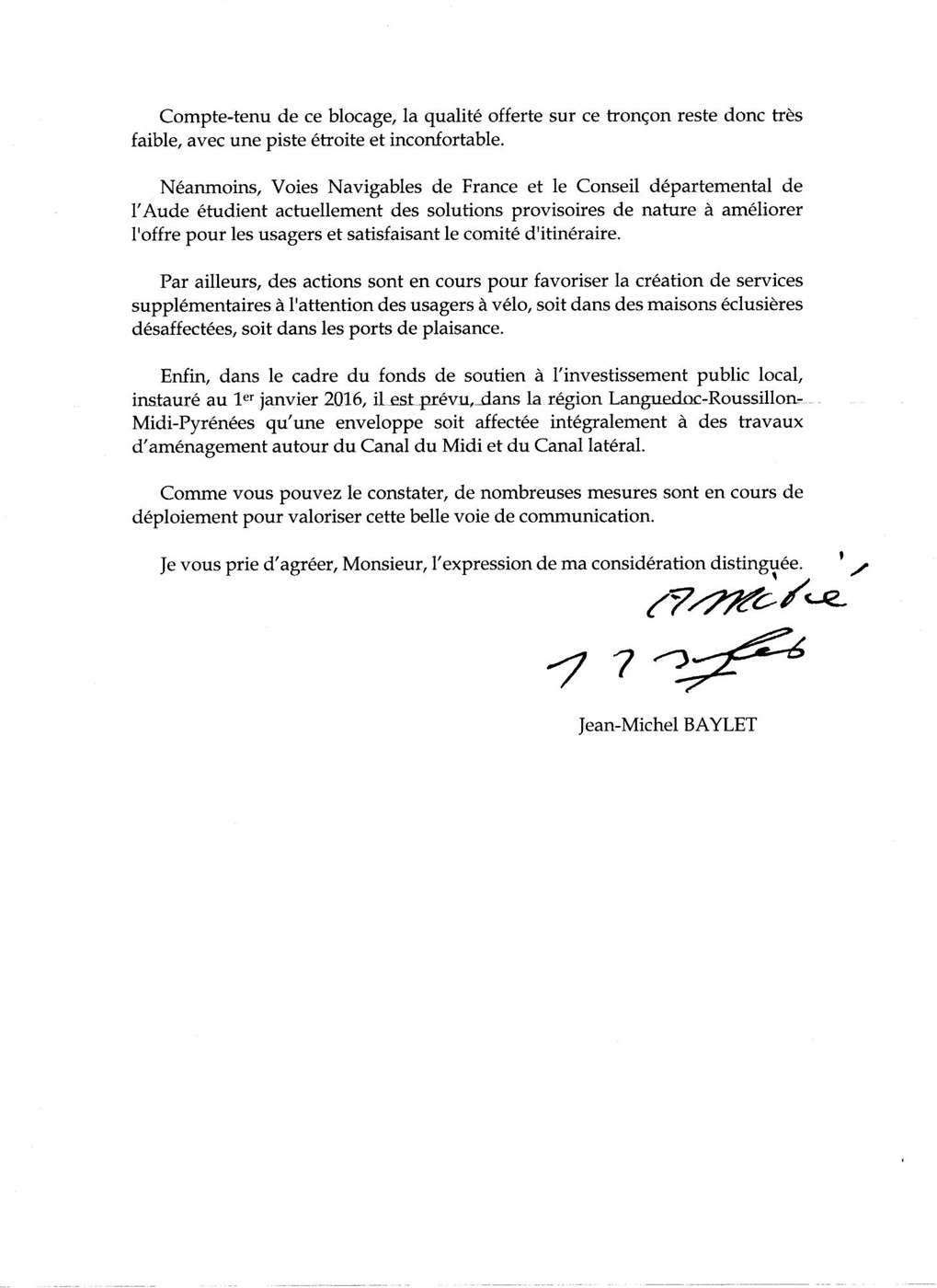
I just received a response from Jean-Michel Baylet (see scan) regarding my letter below.
The reply is encouraging but doesn’t announce any state funding. It’s still up to the departments and regions to finance the developments and maintenance, even if subsidies are granted by the state and Europe.
Gilles ROULAND 4 rue Pierre Perret 82400 VALENCE d’AGEN 13/05/16
To the Minister of Territorial Development, Rural Affairs, and Local Authorities
Subject: The Canal des Deux Mers cycle route
For 10 years, I’ve used my bicycle to commute from home to work. It’s not a big deal since the trip is only 6 km in pleasant riding conditions.
I also go on cycling holidays. To show how easy it is to travel hundreds of kilometers, I’ve shared accounts of my various trips on Voyage Forum:
voyageforum.com/...post=1000920#1000920
Living in Valence d’Agen, it was the towpath along the Canal de Garonne that gave me a taste for cycling trips—because it’s flat and sheltered from traffic.
I gradually made it all the way to Toulouse. Then I cycled the Canal du Midi 5 or 6 times. Now a Greenway (I congratulate Tarn-et-Garonne for its work), the Canal de Garonne led me to Bordeaux, then to the Arcachon Basin and its many cycle paths.
We’re all convinced of the canal’s tourist appeal. I’d like to add that it can also be useful for work commutes. I’ve traveled to Bordeaux on business twice—something I wouldn’t have considered without the cycle path. I was lucky enough to attend a training course in Lyon in June. I cycled there via the Canal du Midi and then the Canal de Sète to the Rhône. I was embarrassed when, one evening at a hostel near Carcassonne, a German woman told me she’d spent the whole day riding through mud.
I’m surprised that the Canal des Deux Mers, which has national and even international significance (I’ve met cyclists from Korea, Argentina…), doesn’t receive state support.
The development of the V80 over more than 700 km between Royan and Sète is currently stalled due to constraints linked to the Canal du Midi’s UNESCO World Heritage status.
As Minister of Territorial Development, you must intervene to ensure this project succeeds. It will boost the attractiveness of the regions it crosses and promote Activity and Tourism.
Hoping for a favorable response, I remain, Mr. Minister, yours respectfully.
Mountain biking (MTB) along the Canal des Deux Mers (France)
Facteur4 · 2016-09-13 · Message 214 of 310
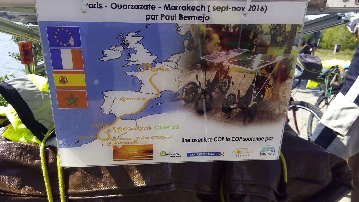
When Jean-Pierre Jonchère, an activist from www.af3v.org/, told me on July 15th that the next Climate Conference was taking place in Morocco in November, I was surprised because I hadn’t heard anything about it. Even today, no one seems to care.
www.cop22.ma/
He shared a link to a blog inviting people to join cyclists from the Netherlands who were leaving Paris on September 3rd: cyclecop22.blogspot.fr/
I immediately wanted to meet up with them in the south of France and ride with them all the way to Marrakech. Since then, I haven’t been able to get any information—whether from cycling associations, Dutch-speaking Belgian friends, or Isabelle Lessens at www.isabelleetlevelo.fr/.
She told me the event was likely canceled (which happens often) because she hadn’t heard anything more either.
I’d left a message on the blog, and only a Spaniard (I assume) replied that some were leaving from Valencia on October 8th. I wanted to join them, but I haven’t gotten any responses to my follow-up messages.
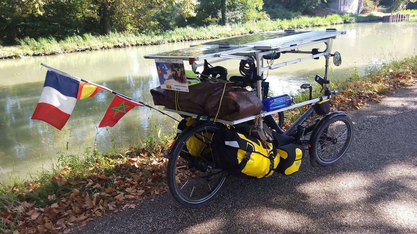
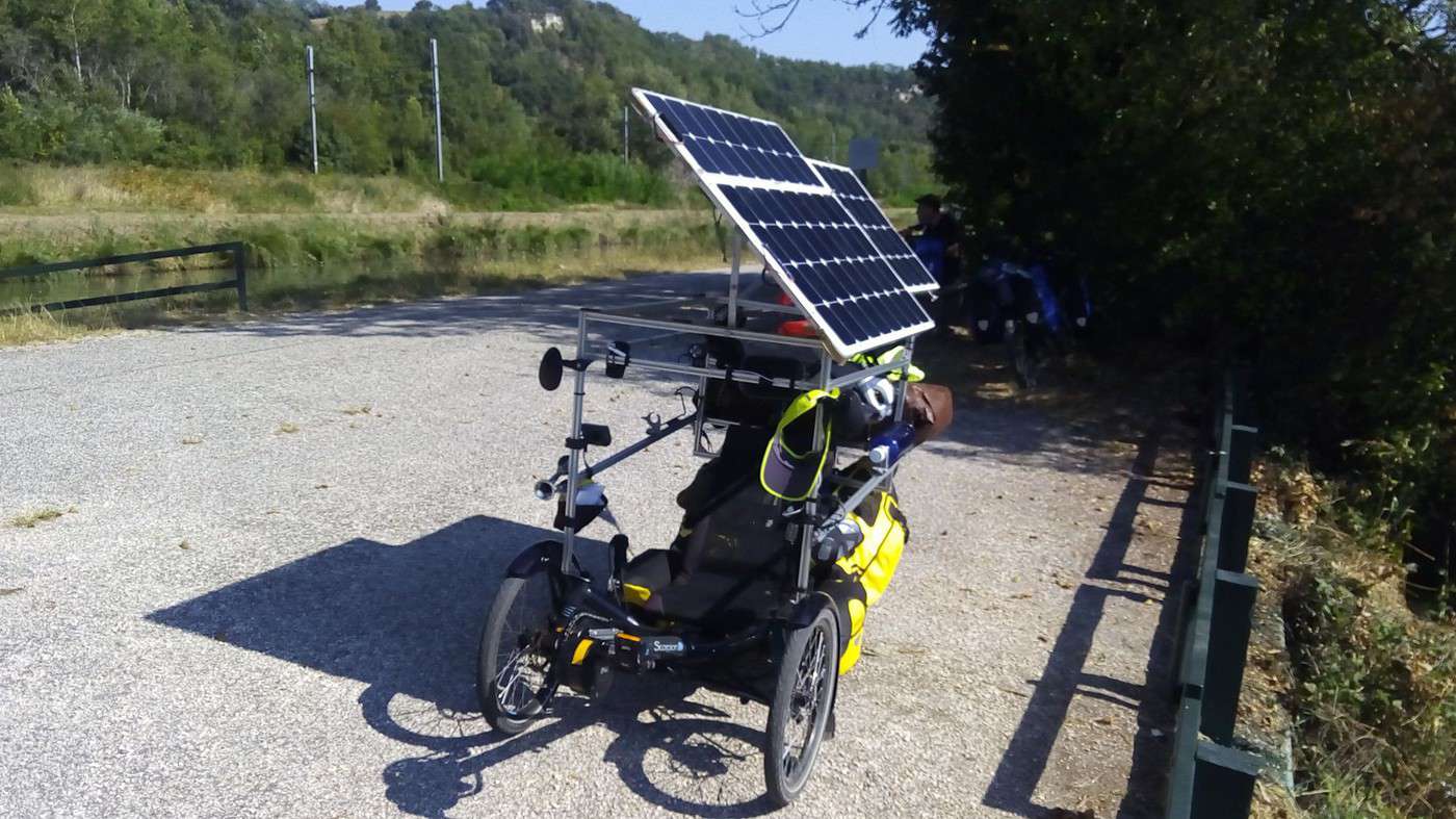
I searched online and found this: scorpionsolaire.blogspot.fr/
Using the Pages Blanches, I left a message on Jean-Marie Azaïs’ landline (in Rodez). He called me back from Vendée after checking his voicemail. He confirmed he was leaving on a solar trike and planned to cross Morocco on trails with a Saharan guide. He gave me Paul Bermejo’s number: thesuntrip.com/paul-bermejo-st2015/
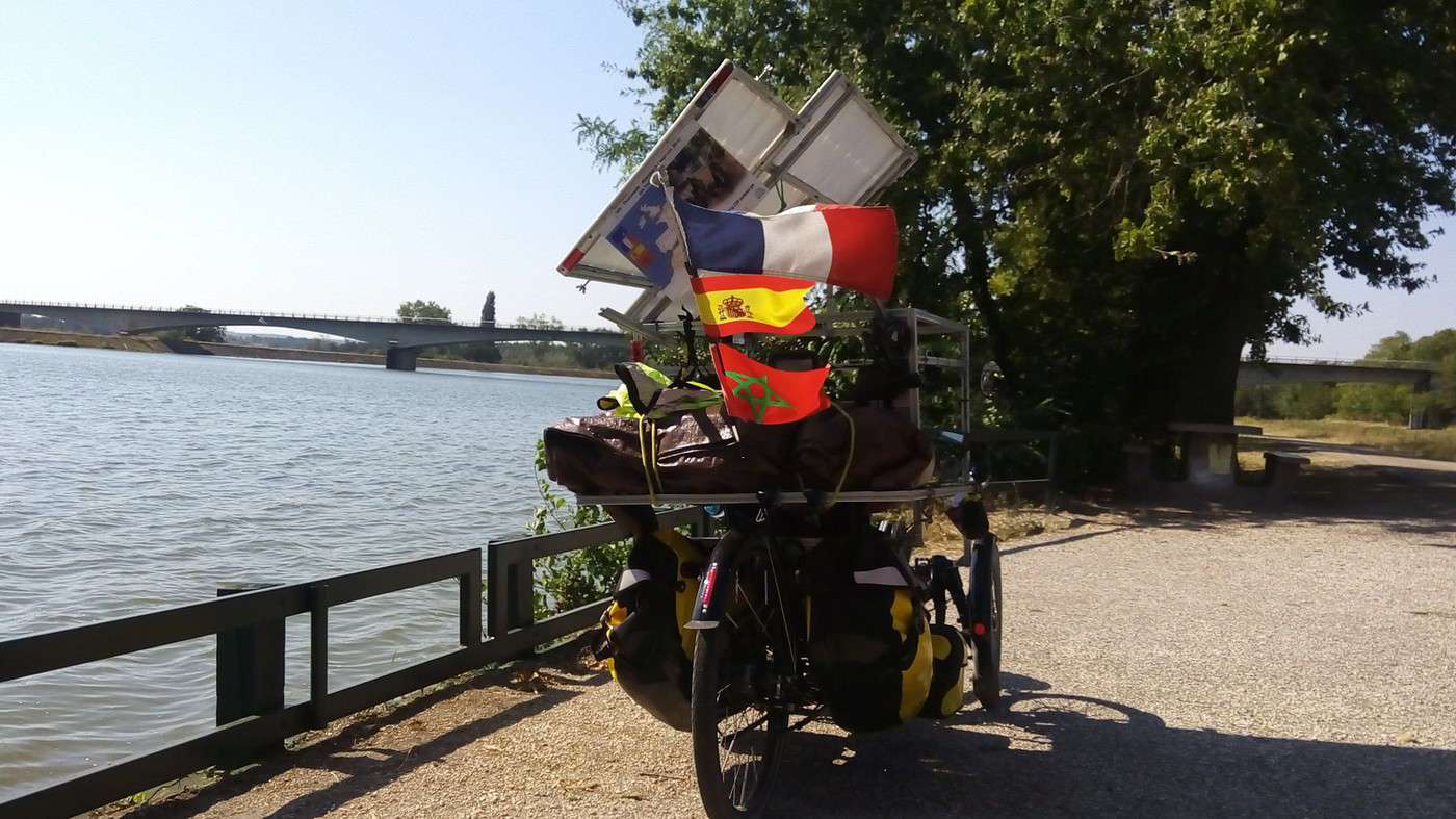
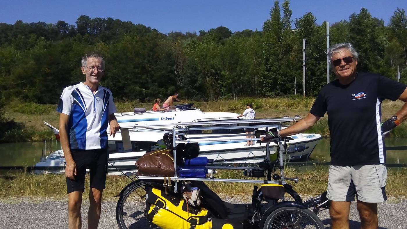
By pure coincidence, Paul was leaving Paris for Agadir on that same September 3rd. Since he was spending the weekend in Agen, where he’d worked, I suggested riding with him for part of his leg to Toulouse. As he was meeting journalists before leaving Agen, we met up today at 11 AM on the canal lateral to the Garonne, just outside Valence d’Agen.
www.sudouest.fr/...ire-2498609-3603.php
He was surprised to see me on a regular bike because I’d told him over the phone that I had a Scorpion like his. Meanwhile, I was surprised to see him on a trike because online, I’d only seen his fatbike with a trailer and solar panel, which seemed better suited for Morocco.
Last night, around 8 PM, I got a text and thought it was Paul giving me details. Instead, it was Hubert, with whom I’d ridden from Copenhagen to Paris last year. He’d left Le Puy-en-Velay and was staying at the Lauzerte hostel, heading to Miradoux on the Camino de Santiago. He thought we could meet up.
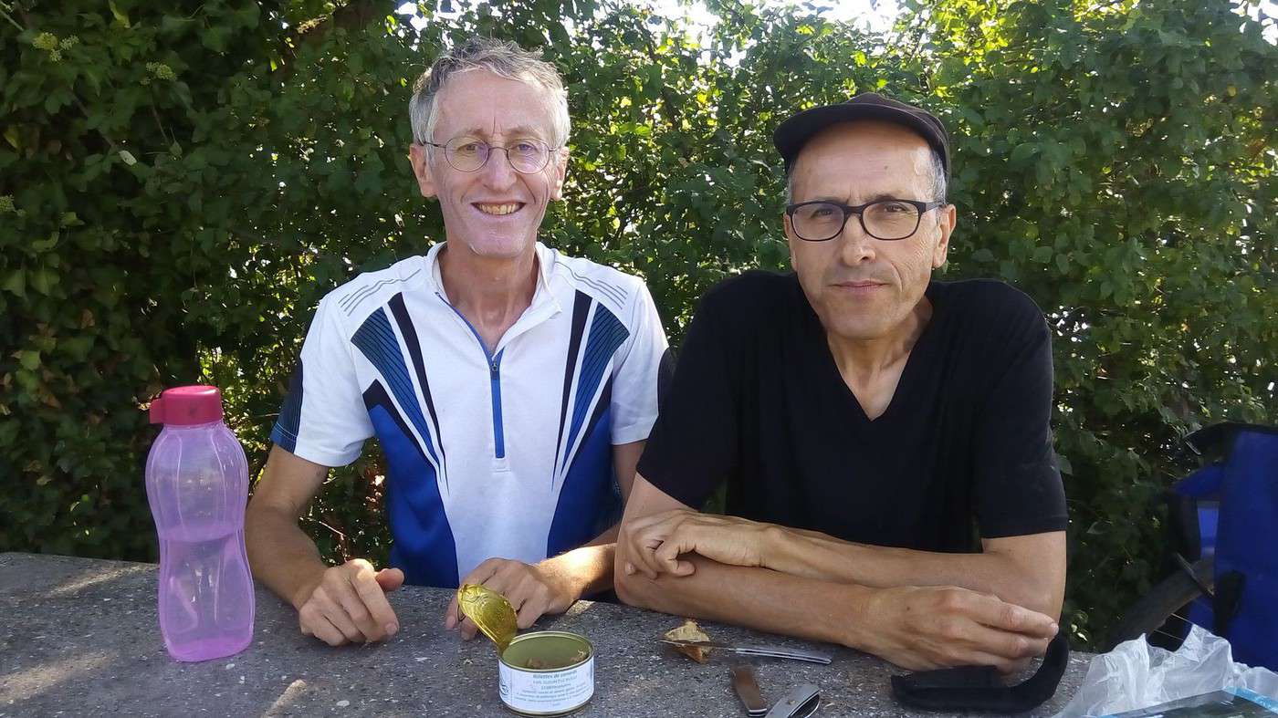
It seemed tough to chase two hares at once, especially one that was electric. But we managed to cross paths near the St-Nicolas-de-la-Grave lake. Hubert had spotted a picnic table, and we were able to have lunch together without delaying either of us. They enjoyed the cherry tomatoes and figs I’d just picked from my garden, along with the duck rillettes from the Gers, where Hubert was staying that night.
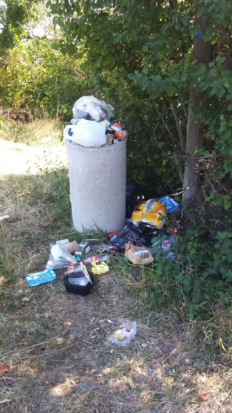
The full trash bin showed how popular this picnic spot is with boaters, cyclists, and hikers—since we’re just a few kilometers from Moissac on the pilgrim route. We were lucky to use it before giving up our spot to other cyclists.
After this refuel—both food and solar—Hubert continued his journey toward St-Jean-Pied-de-Port, and I rode with Paul toward Toulouse. But he wanted to leave the canal’s shaded path again to balance his 175 W consumption with the charge (only 90 W from the flat panel under a slightly overcast sky at 11 AM). So I left him before Moissac.
Even though I’ve been advocating for car-free greenways for years, I wasn’t about to follow him onto the D813 (the old N113). Especially with temperatures nearing 35 °C—the shade from the plane trees is a real blessing.
Electric assistance really leads to some detours (see my June story), even if he did manage 5,000 km of complete autonomy (no charging) in Mediterranean countries.
May the future spare me from such detours—at least until I’m 90…
Mountain Biking Along the Canal Between the Two Seas (France)
Facteur4 · 2016-11-05 · Message 215 of 310
Valence to Valencia
Since I couldn’t go to Morocco for COP22 (see previous post), the idea of starting from Valencia sparked the thought of connecting the two cities.
When my friend Dominique, who always wants us to ride in Brittany, asked if I had plans for our autumn bike trip, we agreed that Spain would be a better fit.
Via Michelin in car mode estimated 700 km (10h), but limits bike routes to 200 km. I must have delusions of grandeur!
Luckily, Google Maps sees further: also 700 km (8h) by car and 823 km following the Mediterranean coast. In bike mode along the east coast, it’s 864 km (46h). That means pedaling day and night or 46h on the bike. By tweaking the route slightly along the coast (with the mouse), I got it up to 900 km:
https://www.google.fr/maps/dir/Valence+d'Agen/Valencia, +Spain/@41.8470687, -1.6089764,7z/data=!4m15!4m14!1m5!1m1!1s0x12abbfe20e900bd9:0x406f69c2f3bd140!2m2!1d0.890241!2d44.108057!1m5!1m1!1s0xd60e518d767c845:0x302af6ed721cc10!2m2!1d-0.7532809!2d39.4840108!3e1!5i1
I estimate it’ll take us 10 days to reach Valencia.
The return trip will be trickier since Spanish trains don’t seem to accept bikes unless they’re disassembled as luggage, like on planes. And international coaches outright refuse bicycles.
www.youtube.com/watch?v=-UV0QGLmYys
The Portuguese airline TAP, which flies from Valencia to Toulouse via Lisbon, didn’t even reply to my question about this. Actually, they did—about bikes in the hold, I just got this response:
Dear Sir,
We apologize for the delay in our response.
Please note that your request must be properly communicated to the responsible department, TAP’s paid reservations, via phone (+351) 707 205 700, option 2.
Don’t hesitate to contact us for any further information.
Best regards,
Marco Freitas
Victoria Program
Here’s my reply:
Thanks for getting back to me a month after my question.
But I’ve already biked to Spain and returned by train.
Actually, planes aren’t always the fastest way to travel!
The only thing we’re sure of is that they’re the most polluting.
Good luck.
www.consoglobe.com/...mparateur-transports
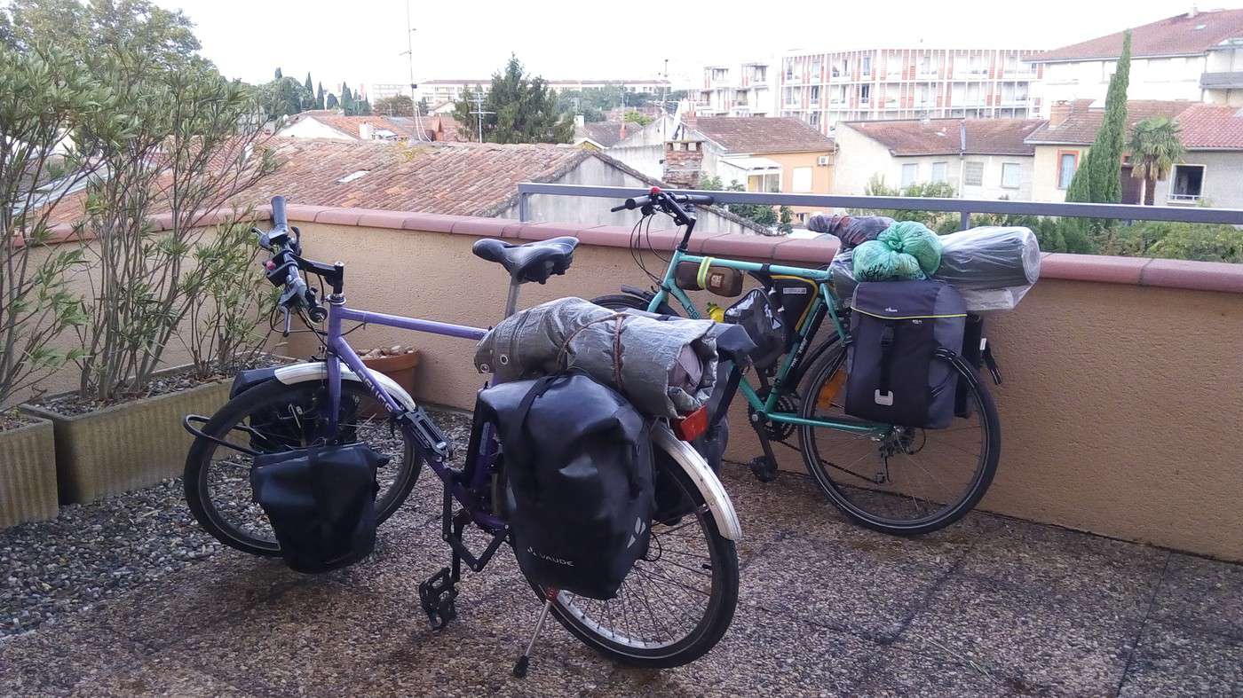
So we’re leaving with bike bags, and after loosening our pedals with a big wrench so we can remove them with my small adjustable wrench if needed. And of course, with the hex key to loosen the stem so we can turn the handlebars.
I managed to buy a 2015 Spain atlas on Le Bon Coin. Thanks to the previous owner for covering half the shipping costs. I removed the pages along the Mediterranean to Valencia, plus the maps of Barcelona and Valencia. On the French side, my Canal du Midi brochure and a few pages torn from a road guide between Narbonne and the border will be enough.
Friday, 23/09/16: Valence d’Agen 09:30 → Toulouse 17:30, 92 km
I met up with Dominique in Malause. He cleverly attached his new bike bag to his frame and strapped on a pouch to increase his carrying capacity. He only has two small rear panniers and a handlebar basket, which he doesn’t want to overload.
Besides the tent, I packed quite a bit of food, and with my five panniers, my MTB weighs 42 kg. Dominique is carrying the stove, which will come in handy for breakfasts.
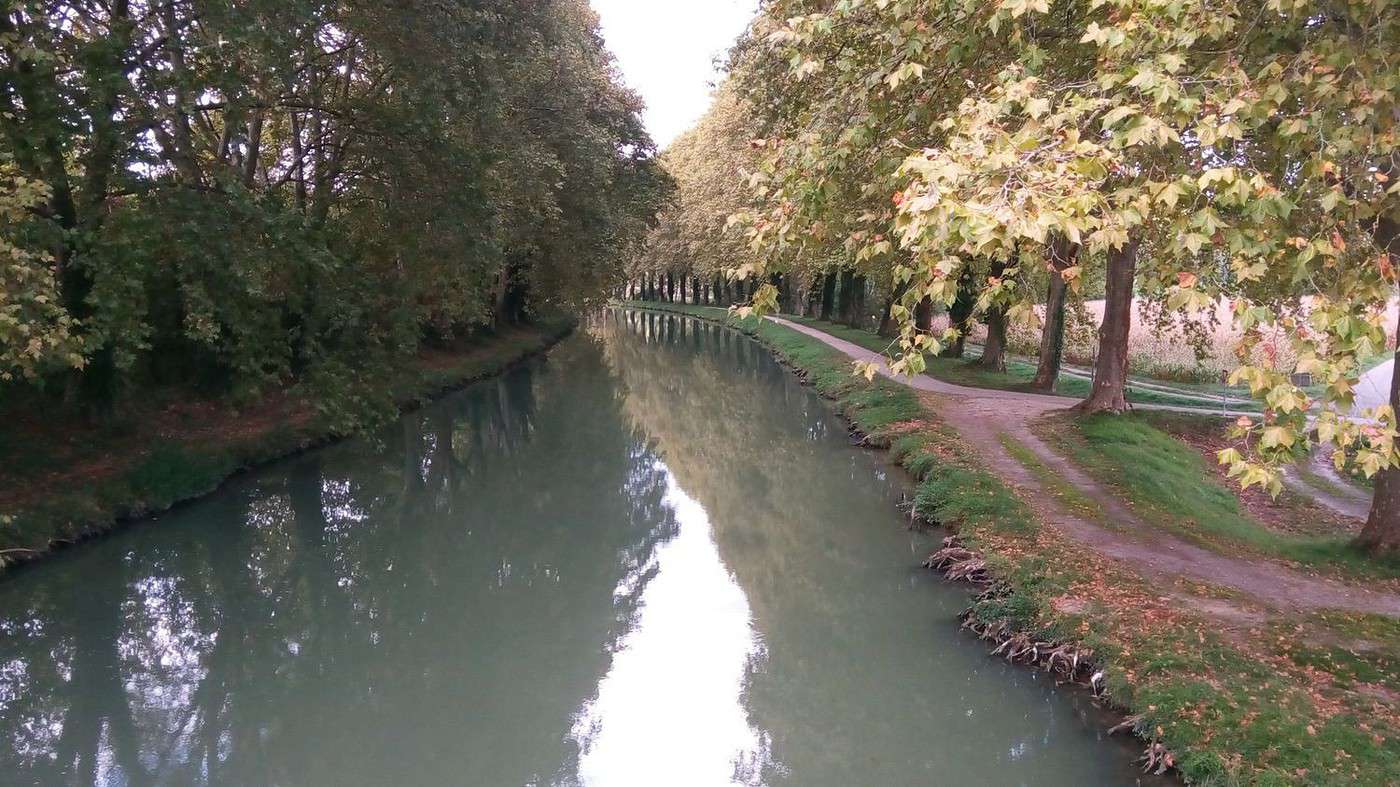
No complaints about this flat stage along the lateral canal of the Garonne on this Greenway, which has been described many times.
For reference, the route for the first day:
www.canal-et-voie-verte.com/...spots%2Fhotspots...
And the Canal du Midi route for the next two days:
www.canal-et-voie-verte.com/...spots%2Fhotspots...
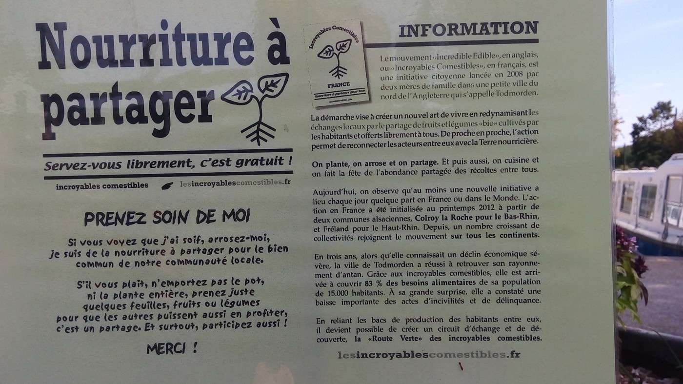
After a picnic in Montech, enhanced by the *Incredible Edibles*, we had dinner at my son’s place. We slept on the couches, and our two identical bikes, bought 25 years ago, stayed on the balcony.
Biking (MTB) along the canal between the two seas (France)
Facteur4 · 2016-11-05 · Message 216 of 310
Saturday, 24/09, up at 6:30 AM, left Toulouse at 8:15 AM, arrived in Carcassonne at 5:30 PM, 107 km.
The Garonne River is thick with aquatic plants during this low-water period. The Saint-Michel district welcomes us with a photo exhibit on calves. But it’s not just virtual—the Canal du Midi’s marina is bathed in sunlight. We tackle the 50 km paved bike path heading east. The Autan wind picks up before 10 AM, cooling our enthusiasm as it reaches 60 km/h. Depending on the curves, we’ll have it more or less head-on all day. After 37 km, we reach the Gardouch lock, the last easy water refill spot. Indeed, after 49 km, the pavement disappears. Hello, Aude and the earthen towpath! It’s charming but not ideal for loaded bikes with its ruts and roots. The picnic—hard-boiled organic eggs, leftover chicken from Gers, salad, and tomatoes bought last night—is a welcome break. We enjoy the tables at the Royal Basin at the Seuil de Naurouze after crossing its magnificent tree-lined alignment.
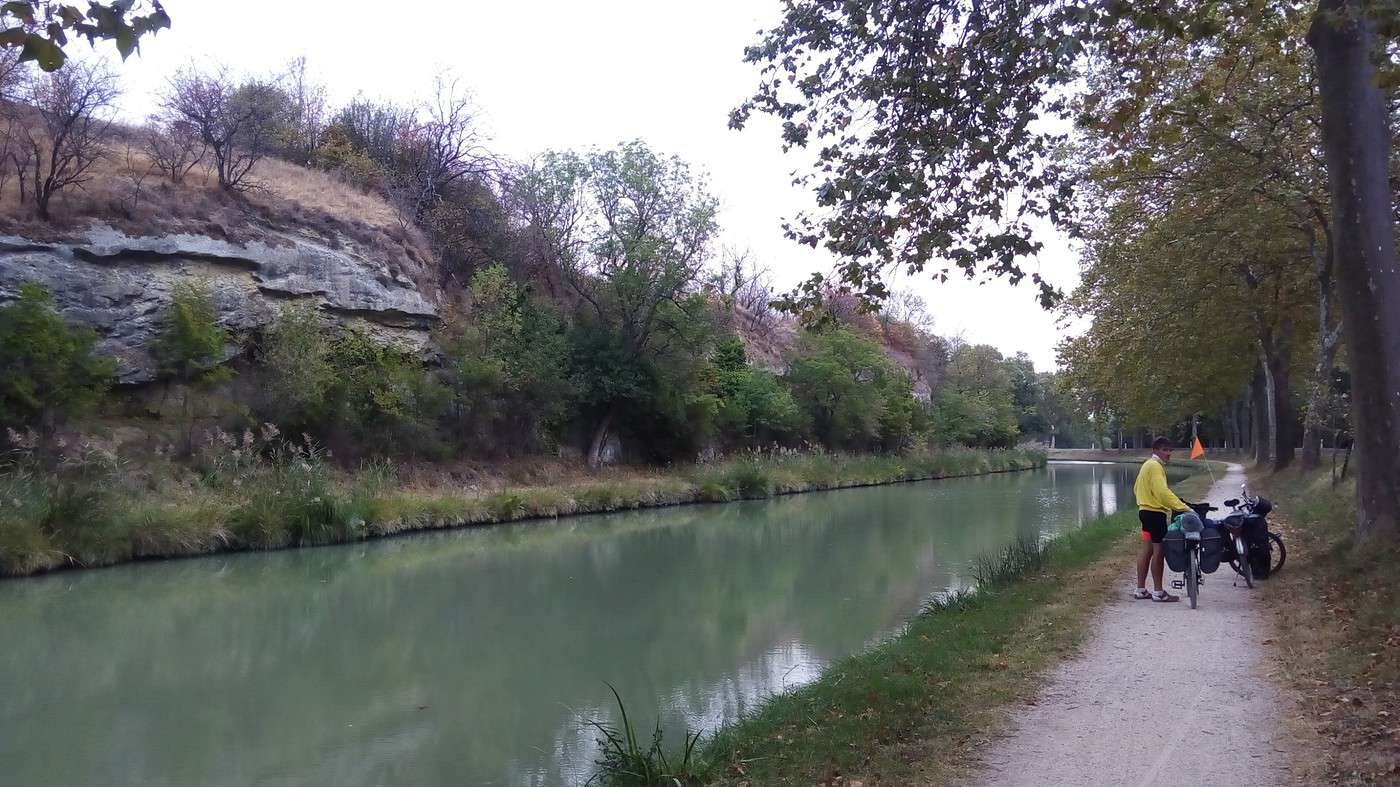
At 1:15 PM, we resume the towpath between the Ocean lock and the Mediterranean lock. Here, it’s truly the Canal du Midi with its plane trees and a narrow strip of land where no cars pass. However, to be a bit less jostled, we constantly hesitate between the bank and the upper towpath above the trees, always thinking the other side would be better. Sometimes Dominique is up top and I’m down below, or vice versa. Soon, the roots don’t bother us anymore because the plane trees have been cut down. But the wind makes its presence known again. After 6 hours (including breaks), we’ve only covered 60 km, averaging 10 km/h.
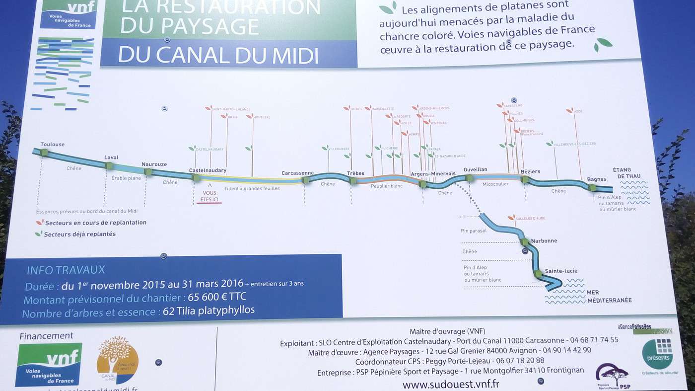
We cross replanted areas where the path has been well leveled. I present the tree I funded: www.replantonslecanaldumidi.fr/fr.
As a generous donor, I’m invited to visit Lake Saint-Ferréol during its draining on November 8th and the Pierre-Paul Riquet Museum.
But we’re still battling the wind. It reminds me that my daughter and two friends did the same route in the same conditions and had to call the hotel in Carcassonne to announce their delay.
Dead trees affected by canker alternate with areas of young holm oaks, then a series of hackberries, poplars, and maples to prevent a future epidemic that could wipe out a single species.
At 5:30 PM, we reach the Herminis lock after 100 km. My desire to recharge at the crêperie vanishes.
www.tripadvisor.fr/..._Aude_Occitanie.html
At Dominique’s request, a VNF employee at the next lock tells us the owner has closed for health reasons. He informs us of a nearby accommodation option. Given the risk of rain and our fatigue, I’m not keen on pitching the tent.
We arrive at the Foucaud spillway to learn that the cabin—the only budget-friendly lodging—is already booked.
www.epanchoirdefoucaud.com/lodge.php
I call the Hôtel ASTORIA in Carcassonne, where we’ve stayed before and where my daughter shared a room with her two friends. It’s popular with cyclists for its garage and hearty breakfast. We manage to get a room with a hallway WC for 69 €.
Biking (MTB) along the canal between the two seas (France)
Facteur4 · 2016-11-05 · Message 217 of 310
Sunday 25/09, up at 7 AM, Carcassonne at 9 AM, Narbonne at 6 PM, 79 km
After a hearty breakfast, we retrieve our bikes from the garage.
Our average speed isn’t any better; by 12:30 PM, after 37 km, we arrive in La Redorte, where a group is gathered by the port. I’ll realize too late that they’re AF3V activists:
http://www.vvv-sud.org/demandesaude.html
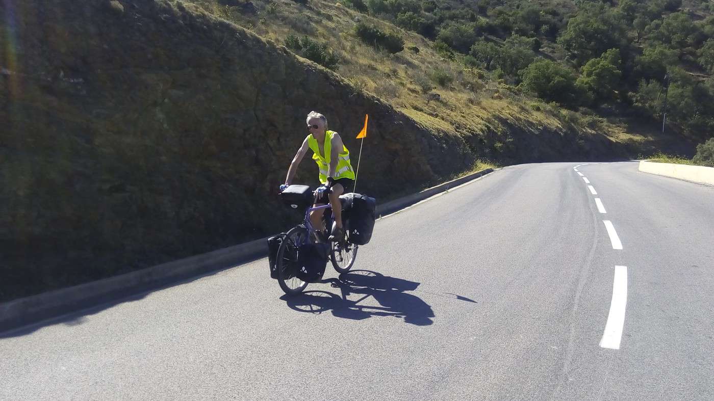
After stopping at the Intermarché, we have a picnic on the tables. A Swiss woman whose boat is moored there tells us that she and her husband sail the canals for six months of the year. They’re leaving the boat for wintering in Narbonne—our destination. After Le Somail, I’d planned to turn off to follow the Canal de la Robine, which crosses the city. But at 3:30 PM, the rain catches us before the charming port where the grocery barge *Tamata* is docked, forcing us off the towpath. Quickly, the sand and mud stick to our tires, so we opt for the asphalt. We take the road after Ventenac-en-Minervois toward Saint-Nazaire-d’Aude. The upside is we won’t have to climb the railway bridge to cross the Aude between the Canal de Jonction and the Canal de la Robine. Since the rain has stopped, Dominique is determined to camp this time. But after Saint-Marcel-d’Aude, a storm breaks over Marcorignan, and we take shelter under a gazebo—though I’ll notice later that the pannier I’d left open for an afternoon snack collected some drips. With a full second between the lightning and the thunder, the strike was close (1100/3600 ≈ 300m)! That changes his mind. A woman points us to a B&B, but the owner tells us he’s stopped renting. Another suggests a gîte on the road to Névian. Bad luck—when we arrive in the courtyard, no one’s around. Over the phone, the owner tells me she’s just left on holiday. All that’s left is to head to Narbonne via the D607 in the rain. With the road narrow and darkness falling, I’m not thrilled about the heavy late-afternoon traffic. On top of my orange flag, I put on my safety vest and turn on my rear light to follow my companion for these 10 km. In some spots, the gutter is full of water, and I wonder how Dominique manages to pull over without a mirror. I couldn’t do without one.
A lull welcomes us in Narbonne. I can pull out my smartphone, and we’re tempted by an apart-hotel for 53.90 €:
https://www.appartcity.com/fr/appart-hotel/narbonne-centre-a-narbonne.html?gclid=CM3d6_qP7s8CFeYp0wodd0wOuw
In addition to the comfortable room and bathroom, we have a kitchen. It’s the perfect chance to warm up, starting dinner with the bouillon cubes and vermicelli I brought. Dominique took advantage of a nearby Chinese restaurant to grab some spring rolls and Minervois wine. But while the first glass helps you sleep, the second one less so…
With 278 km covered in 3 days, we’ve met our goal of 90 km/day despite this storm-hampered leg.
Biking (MTB) along the canal between the two seas (France)
Facteur4 · 2016-11-05 · Message 218 of 310
Monday 26/09, up at 06:30, Narbonne 08:30, St Cyprien 18:30, 90 km
We meet up with the Canal de la Robine again, which rewards us with magnificent reflections under the sun. www.francevelotourisme.com/...nne-port-la-nouvelle
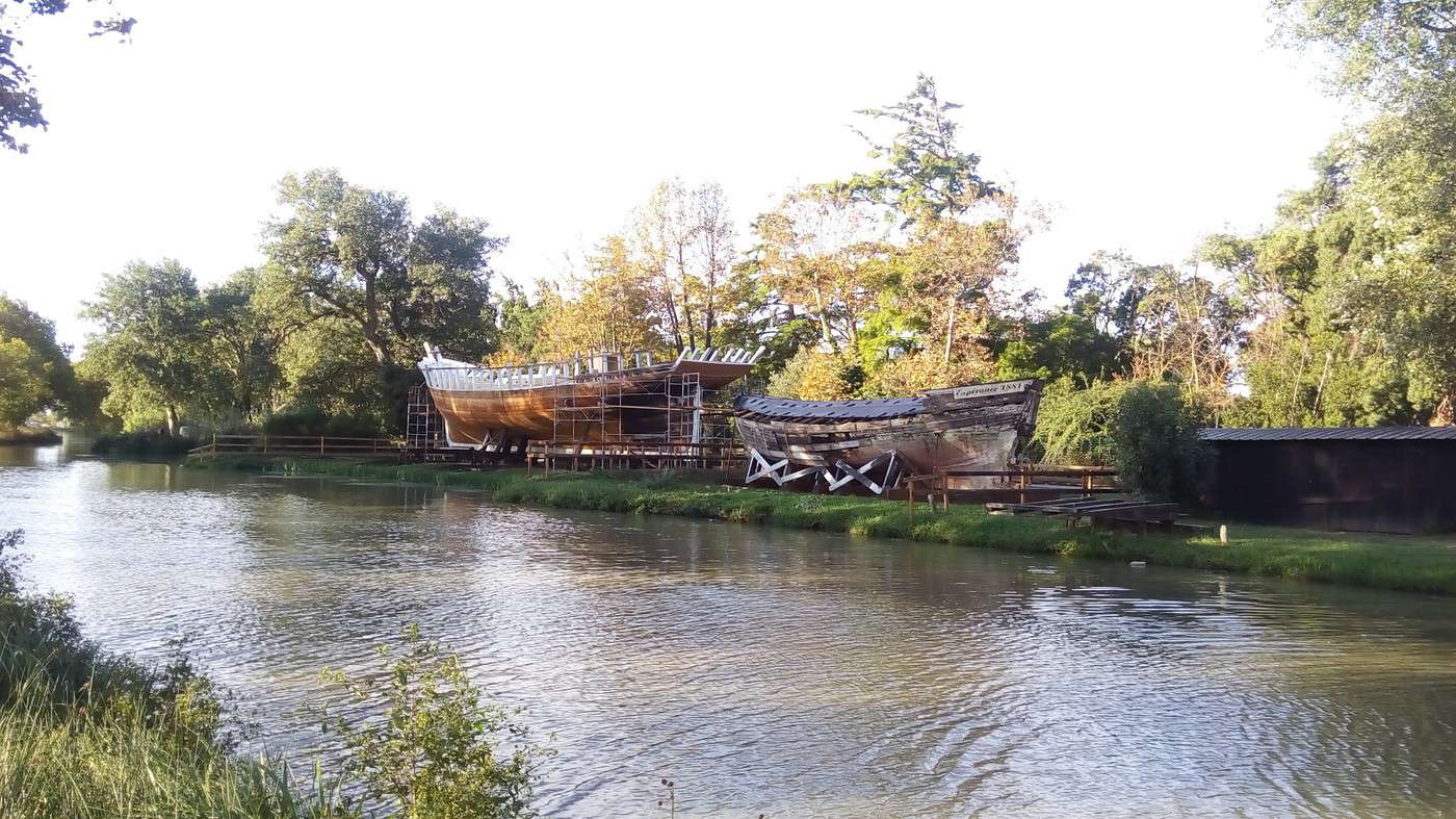
At the edge of the city, the dirt path is dotted with a few puddles and then muddy sections, but still passable enough for us to continue toward Port la Nouvelle. We leave the turnoff to Gruissan (where I’d planned to stop before the storm) on our left. On the other side of the canal, the *Espérance*, an Agathois barge from 1881, is coming back to life through a social integration project: www.lindependant.fr/...ce-revit,2117663.php
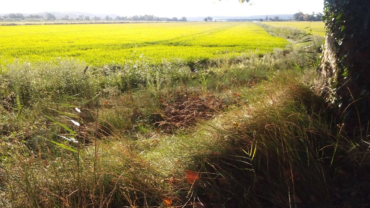
Here, French rice farming still holds out over a few hectares, though it’s disappearing due to competition from other European countries allowed to use up to 9 pesticides, while France permits only 6. This leads to lower yields but doesn’t stop all 9 from ending up on our plates: www.observatoire-des-aliments.fr/...-legumineus...
We take a break facing Île Sainte-Lucie (a nature reserve). Some hikers confirm we can walk around it: www.france-voyage.com/...sainte-lucie-575.htm
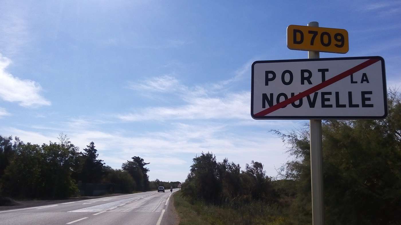
We reach Port la Nouvelle after 27 km. Then we follow the Étang de Lapalme along the D709, then the quieter D175, before climbing the D627, which gives us a view of the Étang de Leucate. On the descent (to keep our momentum), I regret not stopping to take a photo of the *Chai de la Prade*, which, inaugurated in 2010, looks brand new: www.cap-leucate.com/?page=52
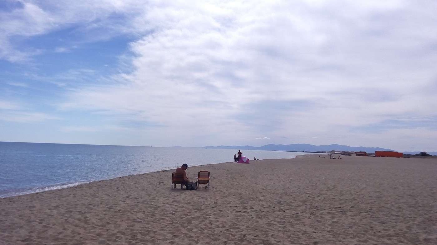
After 37 km, we swim at Leucate-Plage before having a picnic. It took us 315 km to reach the Mediterranean. I’d say the water’s at 20 °C—really pleasant.
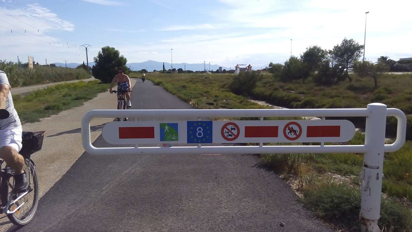
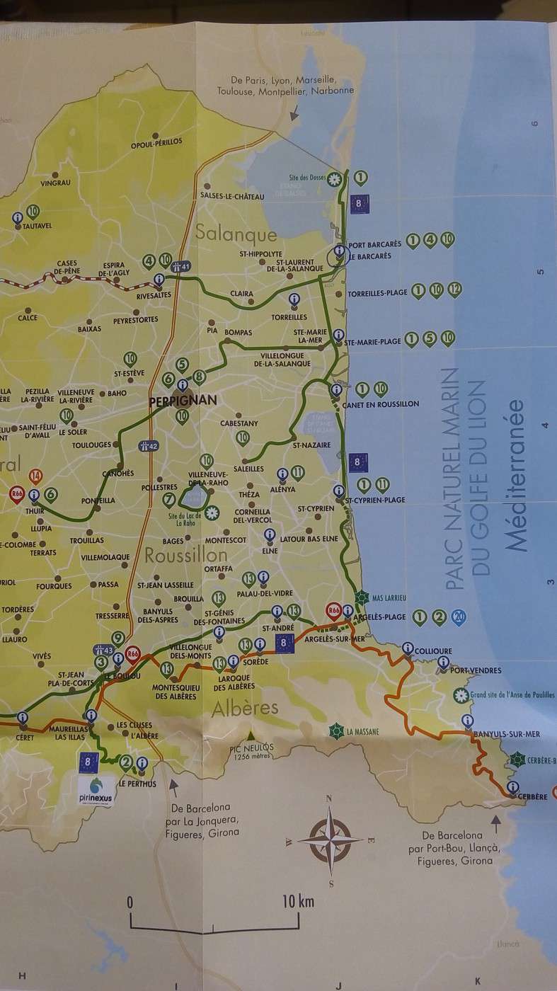
We escape the expressway by following a bike path that leads us into a dead end for our southbound route. Along the coast from Port Leucate, we discover fr.eurovelo8.com/
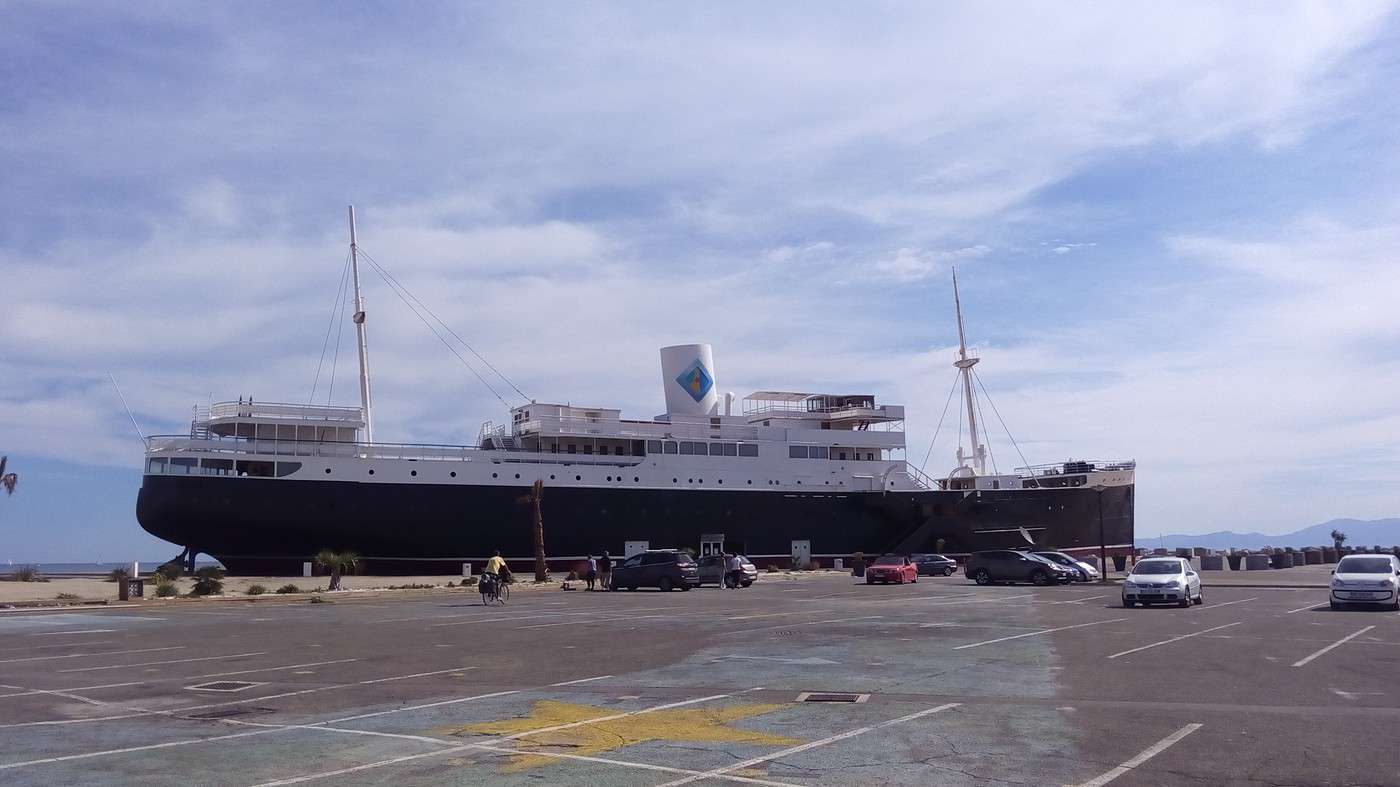
But after the *Lydia* cruise ship, the route leads us into a roundabout without any clear indication of which exit to take.
At the Port Barcarès tourist office, I don’t get a map of the EuroVelo route, but as usual, they give us local trails where it’s marked until Argelès.
From there, it heads due west to cross the Pyrenees via Le Boulou and Le Perthus.
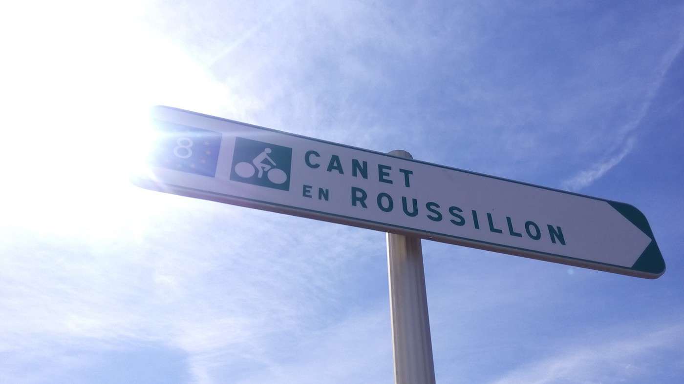
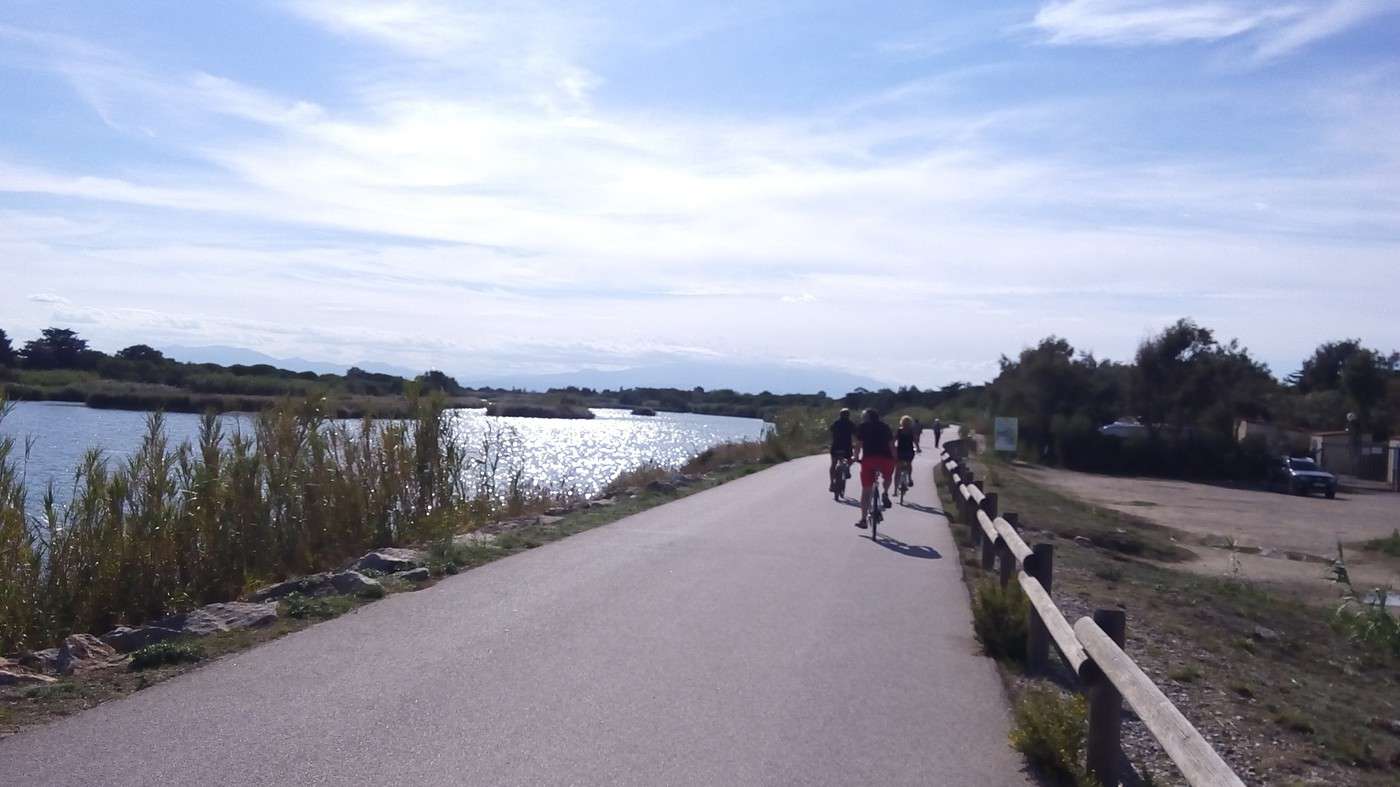
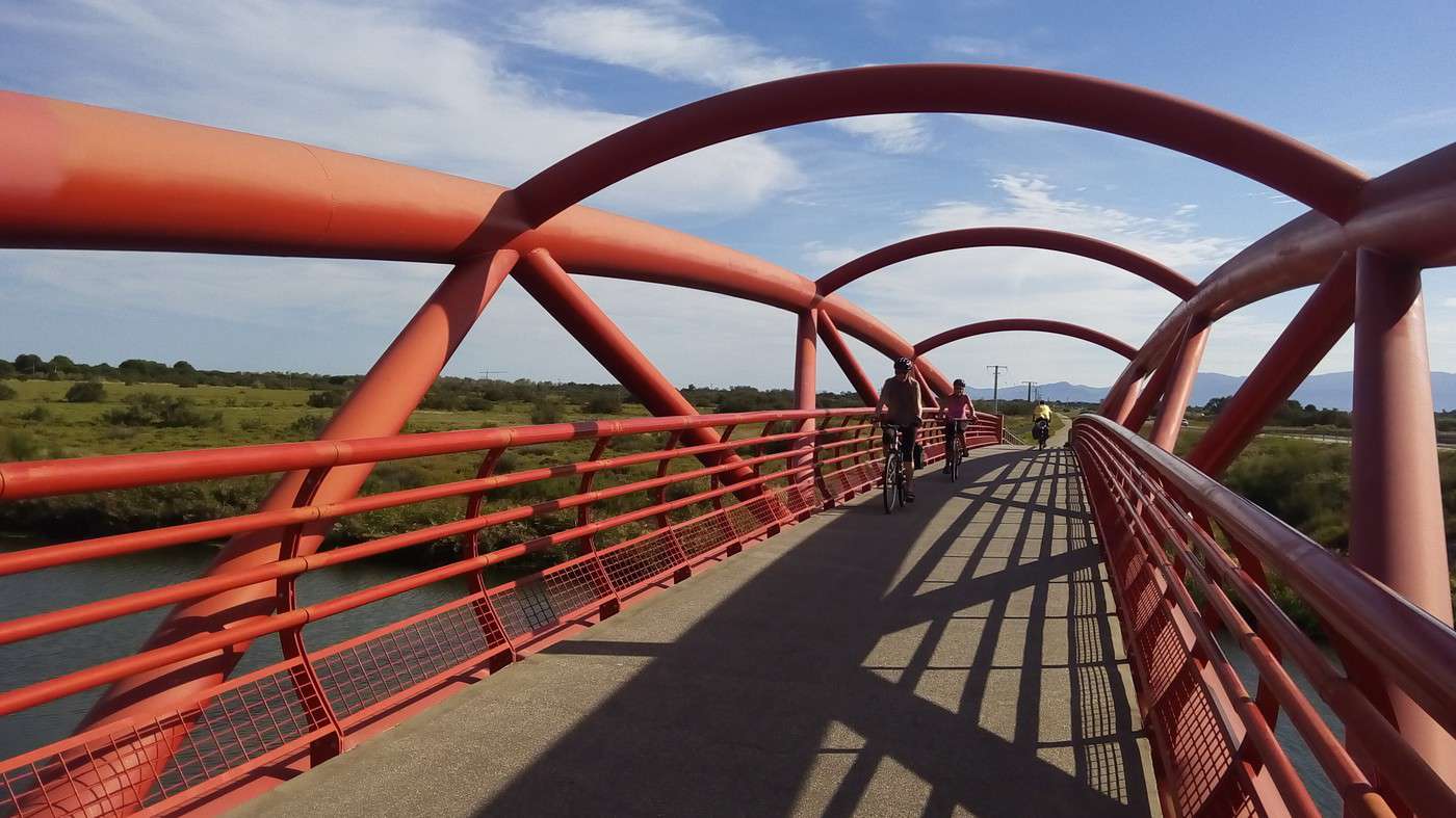
We use the very new EV8, which has excellent pavement and stunning pedestrian/cyclist bridges—red to cross the Bourdigoul and orange for the Aguille de l’Auque. It continues to Canet-en-Roussillon, where it suddenly stops. In the interrupted section, following advice from two surveyors taking measurements, we stick to the coast to avoid the late-afternoon road traffic.
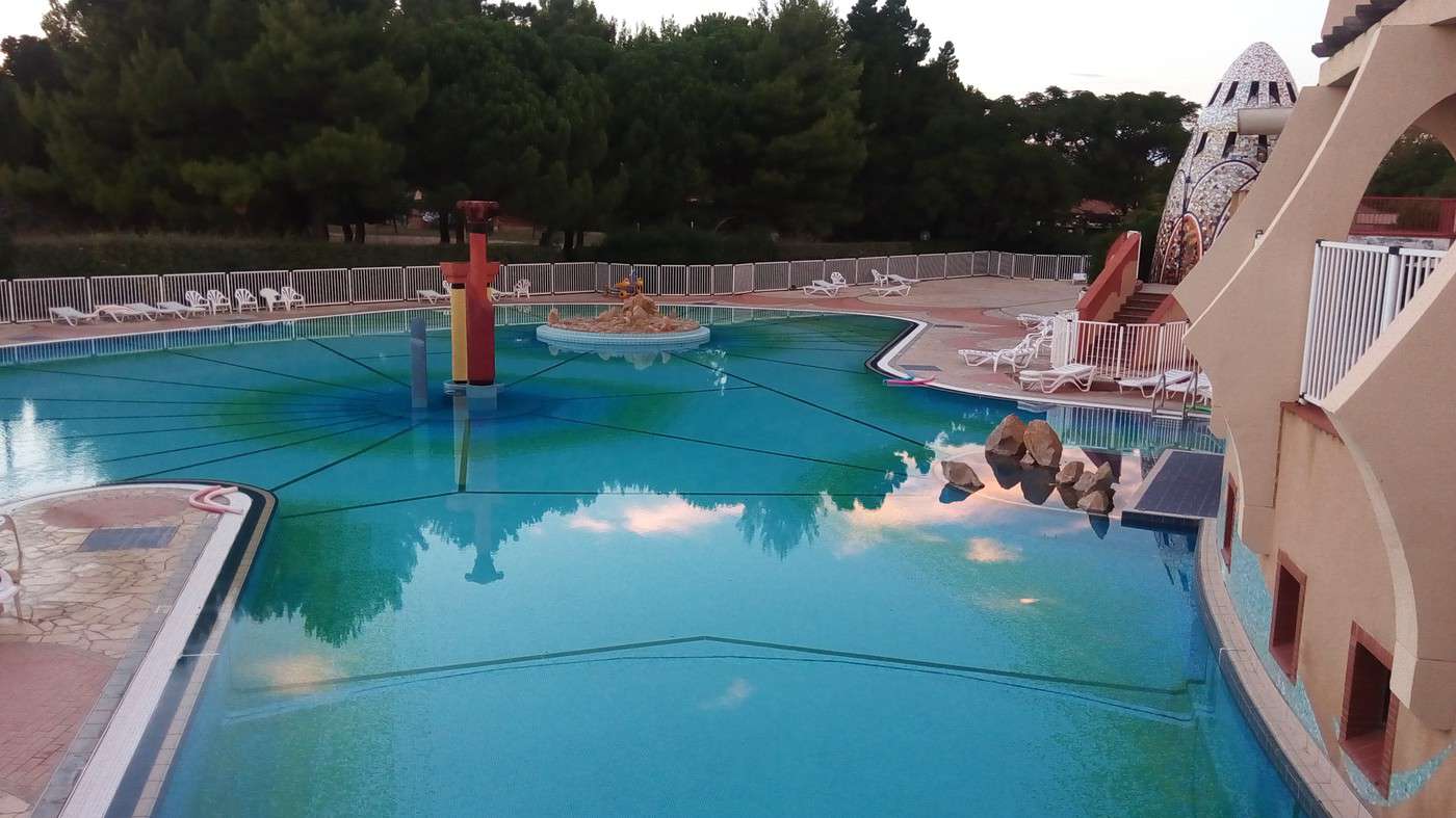
We reach the St Cyprien campsite after following the Étang de Canet-St Nazaire. I have time to shower in the pool’s changing rooms and swim almost alone in the 22 °C pool before it closes. Too tired for karaoke, we’re in bed by 21:30.
Biking (MTB) along the canal between the two seas (France)
Facteur4 · 2016-11-05 · Message 219 of 310
Tuesday 27/09, up at 7 AM in Saint-Cyprien, 0 km by bike, 12 km on foot.
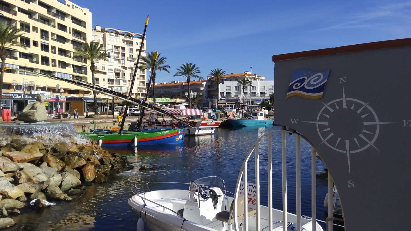
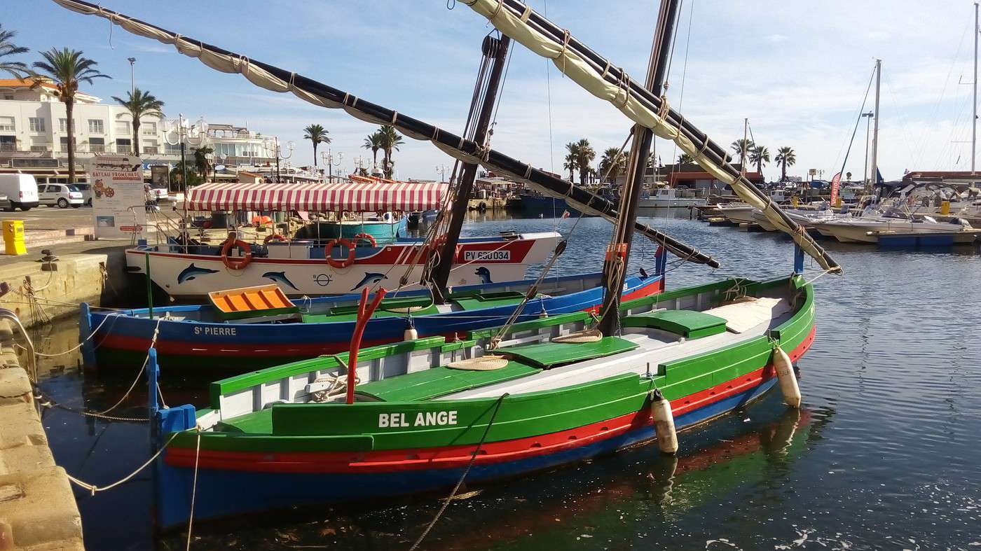
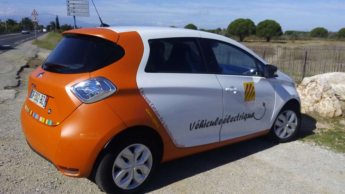
Even though we spent 10 hours in bed, we didn’t sleep very well because of the chilly night. We enjoyed breakfast at the barbecue area tables. Since the weather was nice yesterday (26/09, 26°C) and today’s forecast is 27°C (28°C tomorrow?), we decided to take a rest day to make the most of it—especially since the campsite isn’t expensive. We started with a small load of laundry. At reception, Dominique found a brochure for a 10 km route, so we decided to follow it, beginning with a walk to the port where traditional boats are on display. Then we took advantage of the beach market to prepare our picnic. We walked along the Saint-Cyprien golf course, in front of which a departmental Zoe was parked. When the driver returned to her car, she asked if I wanted her to be in the photo I was taking.
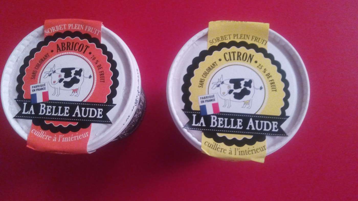
After all these easy-to-follow landmarks, the route became less clear in the countryside since the so-called "blue" circuit wasn’t marked. I oriented myself using a campsite sign. After picnicking in a field, we couldn’t agree on which direction to take. Dominique wanted to head back toward the beach, while I preferred to continue the loop inland. Luckily, a woman we asked told us we were arriving at Saint-Cyprien village. After passing the church dedicated to the saint, we found the road leading to the holiday village. I went back to the pool, and then we enjoyed the bar and the cooked meal service. We bought ice cream to support the workers at the SCOP www.labelleaude.fr/.
Before watching documentaries by www.electriciens-sans-frontieres.org/ in the amphitheater. They install solar panels to light schools and clinics, and power pumps to bring water—especially in Madagascar.
Cycling (MTB) along the canal between the two seas (France)
Facteur4 · 2016-11-05 · Message 220 of 310
Wednesday 28/09, up at 06:30, St Cyprien at 08:30, Llança at 16:30, 64 km
We’re ready to check in when the reception opens and tackle the Pyrenees!
I’d noticed that the EuroVelo 8 route offers a Greenway to cross the border, linked to
http://www.pirinexus.cat/.
This Franco-Spanish loop has the downside of accumulating a lot of elevation gain. Even though the EV8 is called the Mediterranean Cycle Route, it wasn’t mapped along the coast because the roads there were deemed too narrow to keep cyclists safe. However, the proposed route requires climbing to 370 m at the Col de Panissars near Le Perthus.
When I stayed at the Pic du Midi with my wife for our 30th wedding anniversary, I happened to meet someone from Port-Vendres at breakfast. He advised against taking the coastal road due to traffic. I told him that in October, it would be lighter. He said the opposite—it’d actually be more dangerous because people drive faster. For example, Spaniards who commute to Perpignan every day. He recommended taking the Col de Banyuls (to avoid cars) but that means climbing to 357 m. Meanwhile, between Cerbère and Portbou, only 165 m is needed to cross the border.
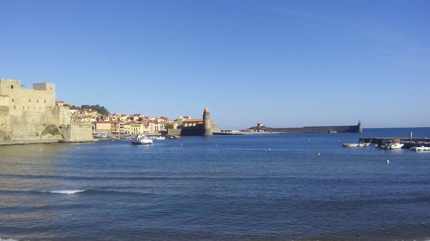
After following the coast from St Cyprien’s port, we ride through Argelès Plage. In Collioure, we grab some supplies and enjoy the stunning scenery from a bench while eating grapes. Then it’s time to tackle the climb toward Port-Vendres.
At the intersection with the D914, left turns are prohibited, and we freeze before the junction, studying the map. A police car passes on our right to turn right (as required) and reminds us of the restriction, suggesting we go down several hundred meters to a roundabout and then come back up the other way. Out loud, I tell Dominique, "Come on, let’s check out the restaurant menu"—the one just before the intersection on the left. Of course, we turn left right after seeing the high prices but stay on the sidewalk. The officer passes again (after his detour) without finding our behavior objectionable. We then cross the road where there’s a bit of visibility and continue along the coast via a series of ascending and descending switchbacks. The road is in good condition but lacks a hard shoulder. You’ve gathered that we decided to take our chances on the coastal route. We have lunch in Banyuls at tables with a view of the sea-washed rocks—where I’d picnicked before with a group during a sea kayaking trip from Roses to Argelès (camping on pebble beaches with no facilities).
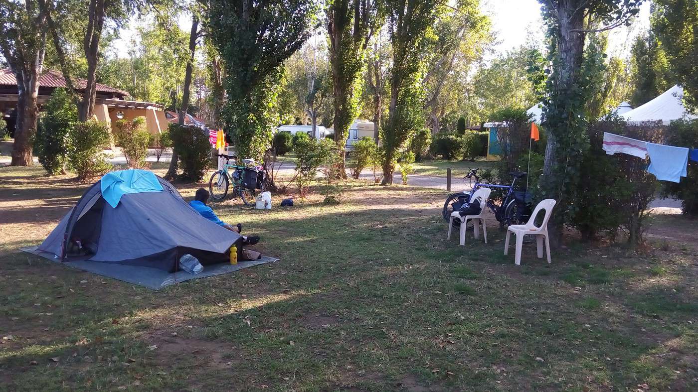
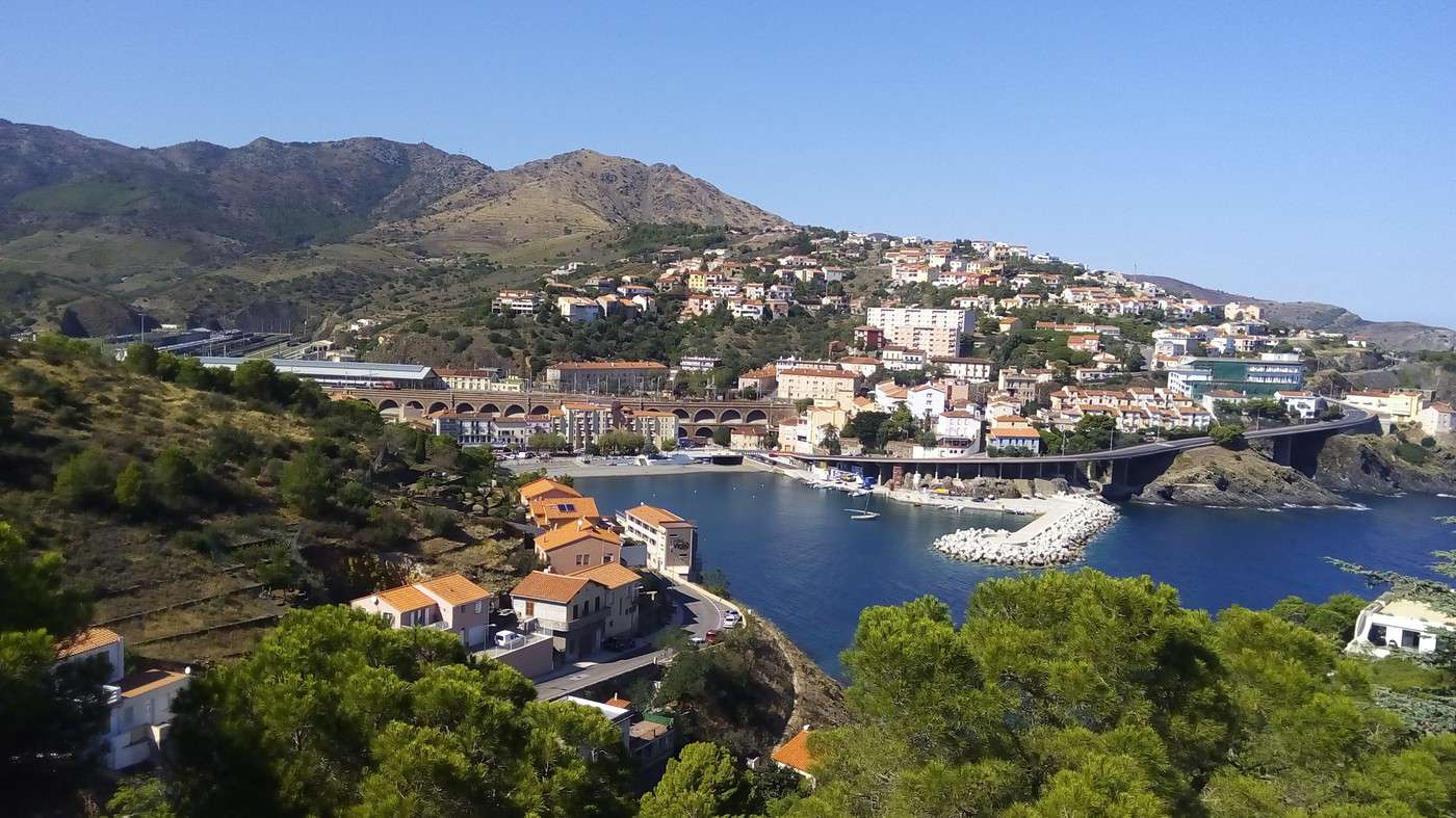
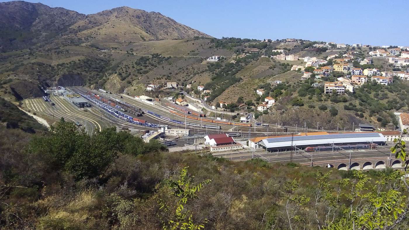
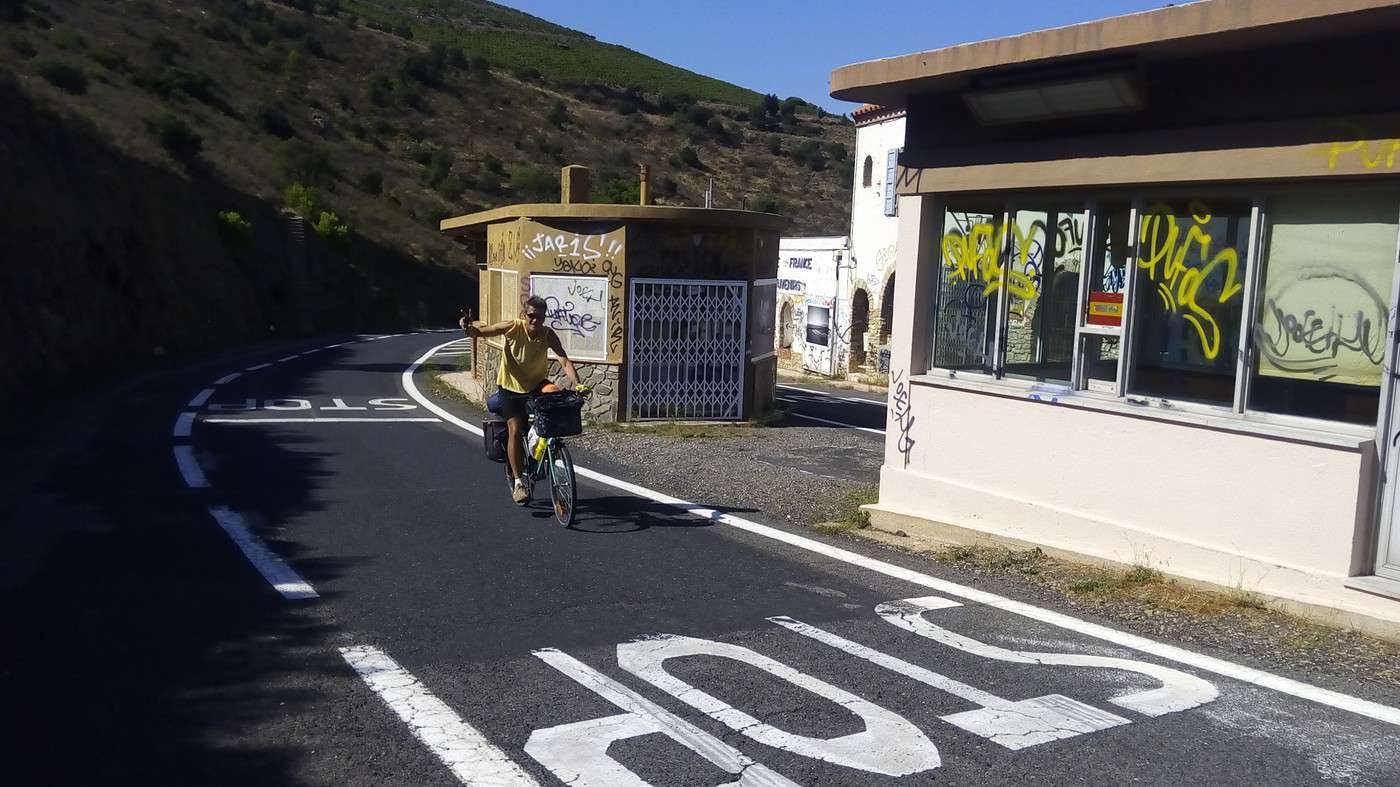
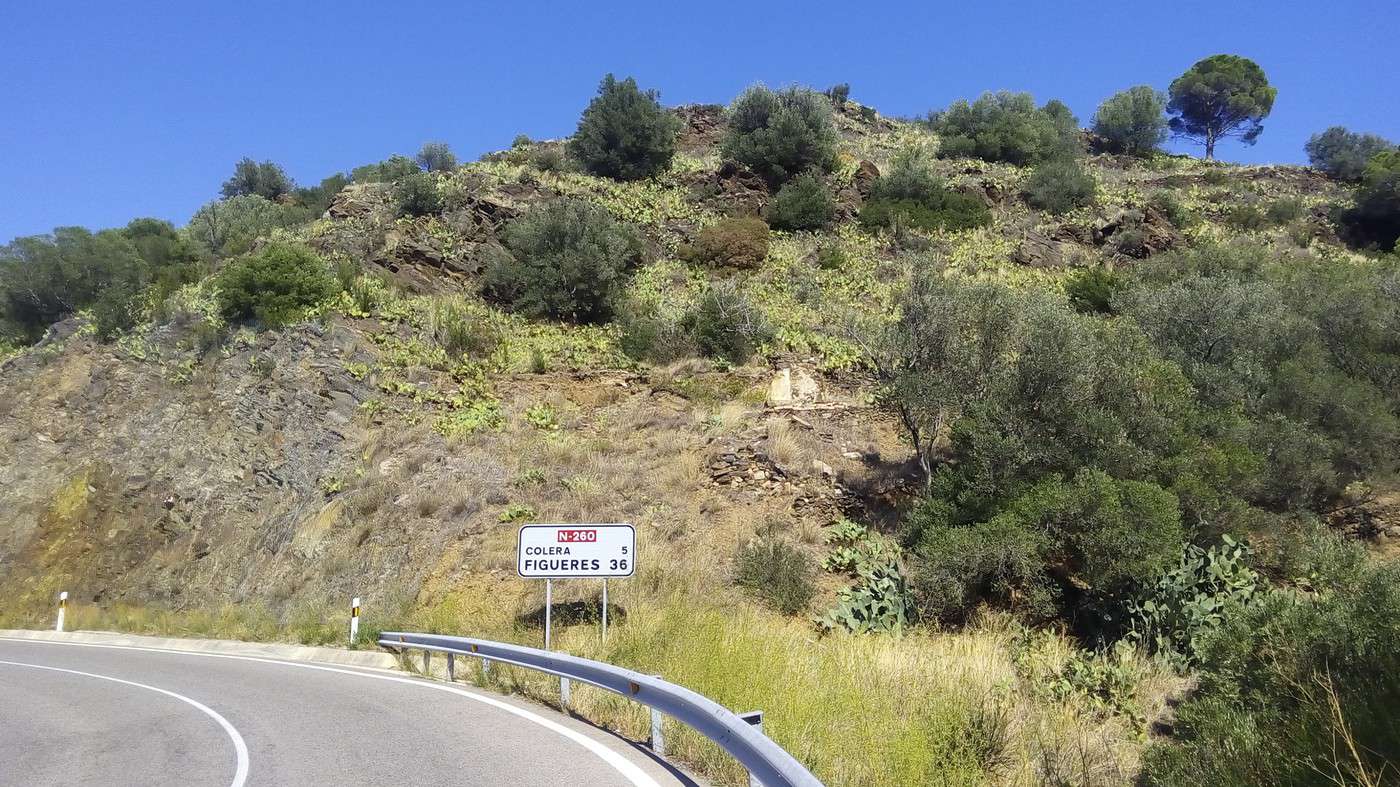
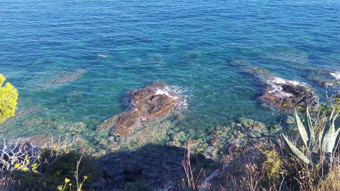
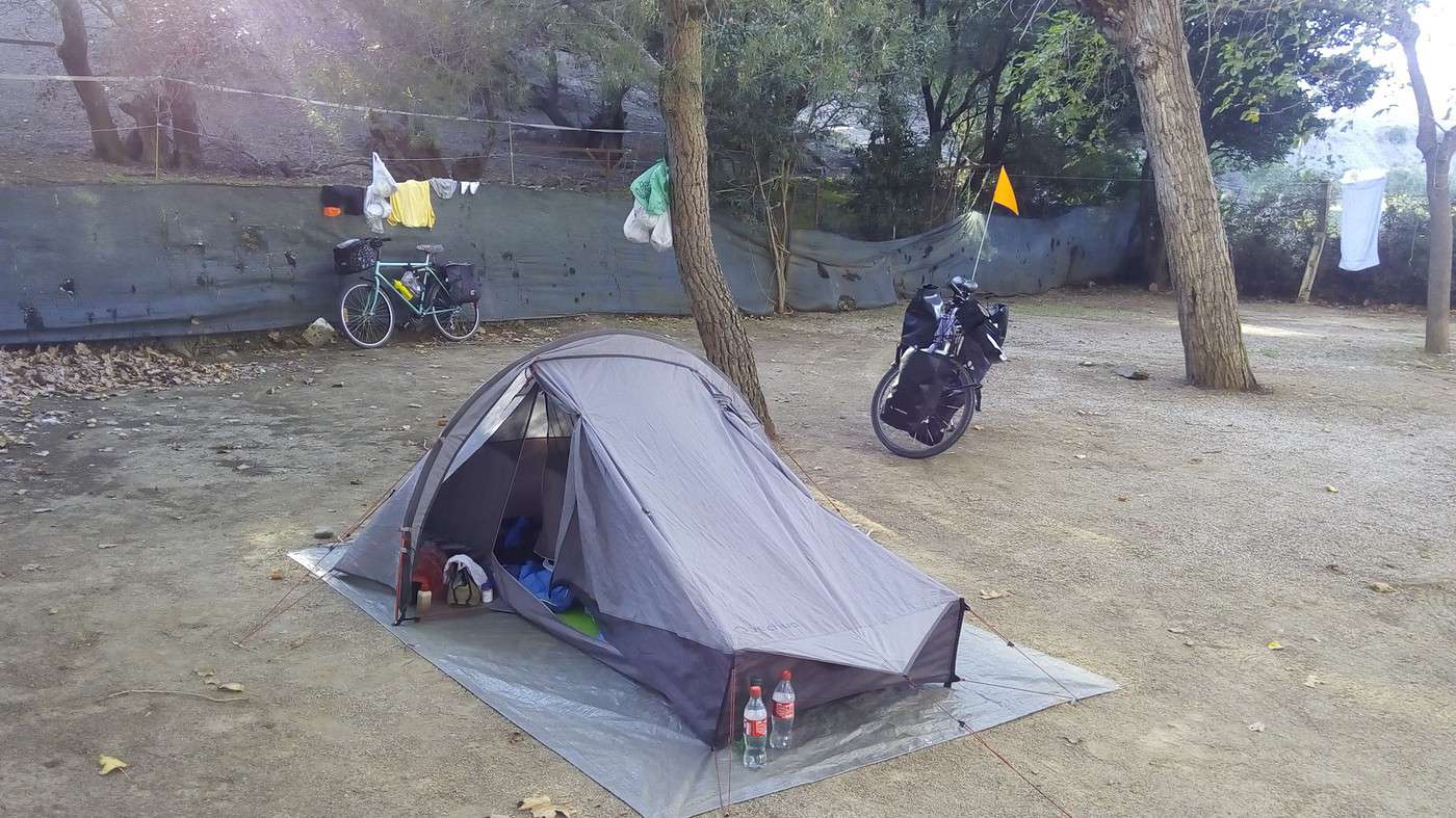
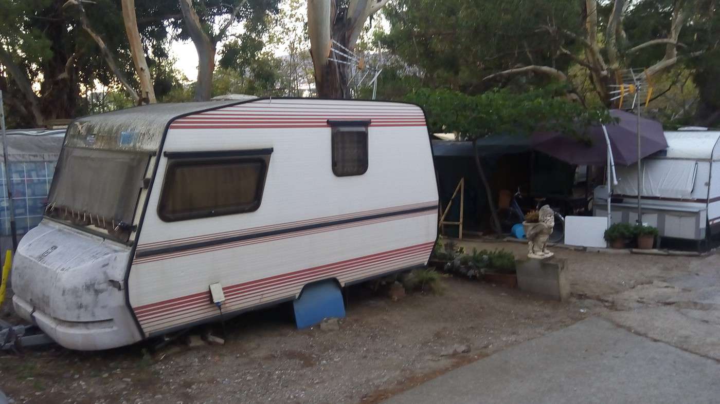
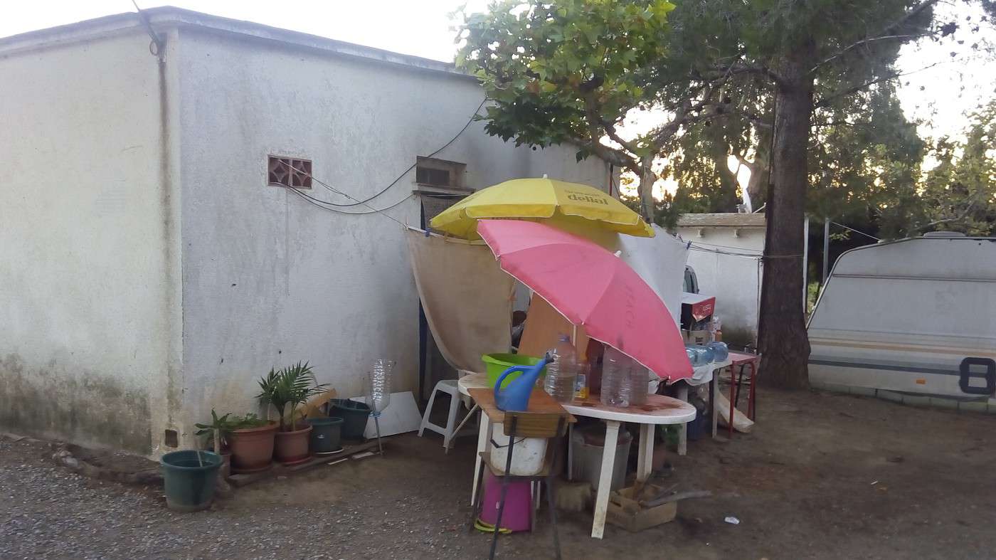
After a series of climbs, we reach the border at 14:30 and 47 km without any issues. Actually, our timing meant we didn’t encounter much traffic. We’ve covered 415 km since Valence d’Agen. We continue along the Spanish national road 260, which is also winding with a good surface and a few short tunnels but mostly downhill. We stop for a drink in Portbou, then after Colera, we arrive in Llança (pronounced *Yan-sa*). Even though it’s not late, we’re tempted by the first campsite, L’Ombra. Good call—apparently, there aren’t any others. For 15 €, we get decent showers and, at the back of the site near a farm, a spot far from the year-round caravans and makeshift homes (see photos). There’s even Wi-Fi! Then I realize I’ve lost my smartphone charger. Turns out I left it in St Cyprien, plugged into a domestic outlet in a semi-rigid rental tent (unused this season). We didn’t bring a caravaning plug, so we can’t use the campsite hookups. I retrieved the cable (USB) but not the adapter! Luckily, Dominique’s charger is compatible. For once, I can thank the European Union:
http://www.lemonde.fr/technologies/article/2014/03/13/l-ue-va-imposer-un-chargeur-universel-pour-telephones-portables-d-ici-a-trois-ans_4382905_651865.html