Back to the discussion

in Entre deux voyages › Carnets de voyage

Martine and DD in Colorado and Utah (page 2 of 3)

Discussion started by Marcalamar on 2024-12-16

59 replies

This thread has been translated into English.

Martine and a Road Trip to Colorado and Utah

Laurent4 · 2025-01-01 · Message 21 of 60

Happy New Year, Martine! It's always so nice following your travel journals. 🙂

Martine and DD in Colorado and Utah

Marcalamar · 2025-01-05 · Message 22 of 60

Thanks Laurent, that’s really kind of you!! Best wishes to you too. Martine 🙂

Martine and DD in Colorado and Utah

Marcalamar · 2025-01-05 · Message 23 of 60

Hello forum friends! 🙂 Best wishes for 2025, with lots of wonderful things for you and your loved ones. Be happy! Take care of yourselves. Martine 🙂

Martine and DD in Colorado and Utah

Marcalamar · 2025-01-05 · Message 24 of 60

Day 12, September 22: Cortez to Monticello via the Needles

Abajo Lodge: 84 € without breakfast We fell in love with this little motel on the way to Moab. Super quiet despite being close to the road. Fridge, microwave, and most importantly, the option to leave all our luggage in a room as soon as the front desk opened at 9 a.m.

Looking back, the planning wasn’t ideal for including the "Chesler Loop Park" hike in the Needles. We should’ve only spent one night in Cortez and two in Monticello—not the other way around, like we did. We left Mesa Verde early enough in the afternoon after visiting the park at a leisurely pace, and we could’ve easily added the 100 km between Cortez and Monticello. That would’ve let us leave the Abajo Lodge bright and early, start the hike much sooner, and finish the whole thing. Oh well! This hike was one of the highlights of our road trip. But aside from that little disappointment, our day was amazing.

Canyonlands: Chesler Park Loop hike at Chesler Park (The Needles)

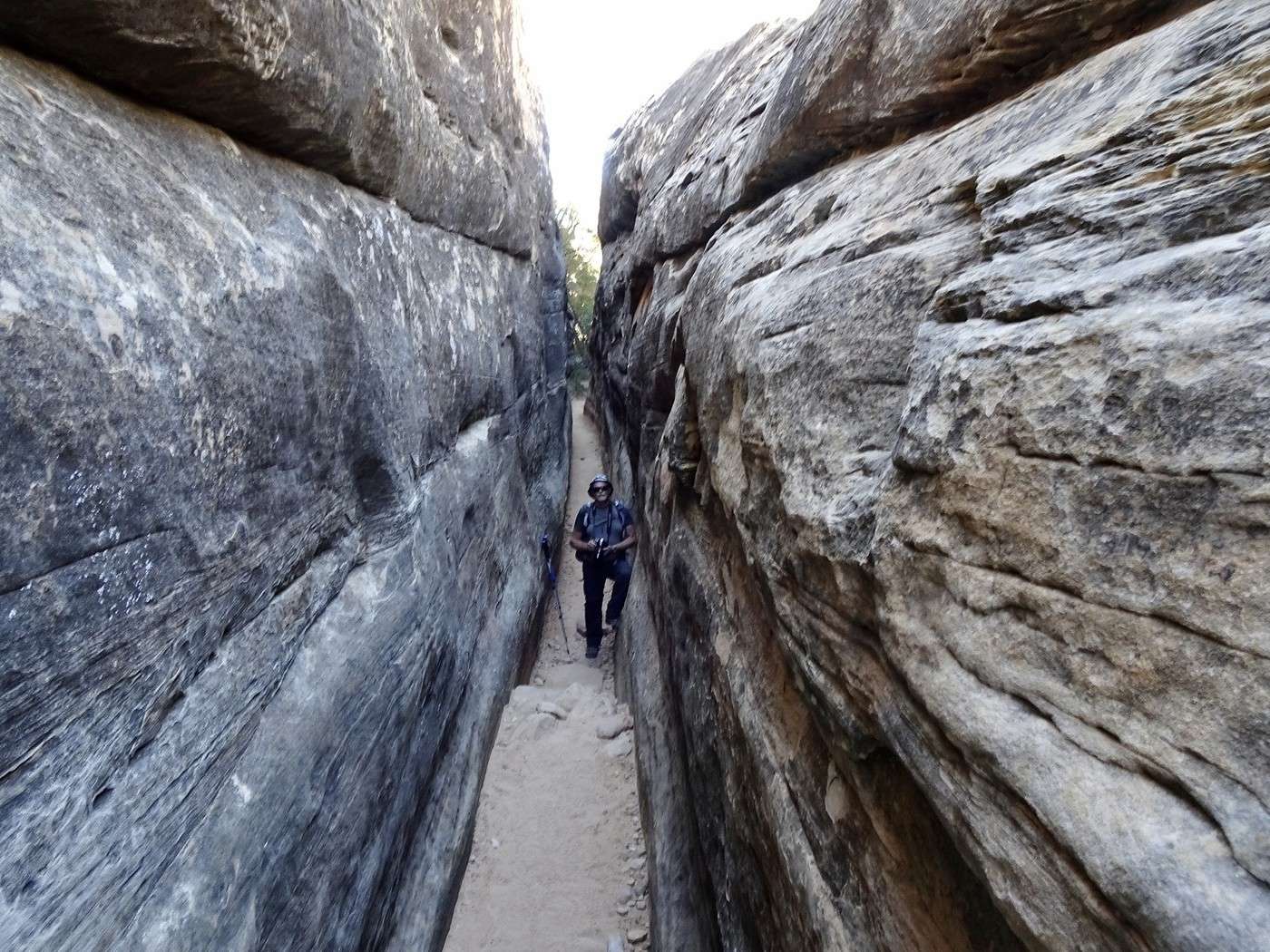
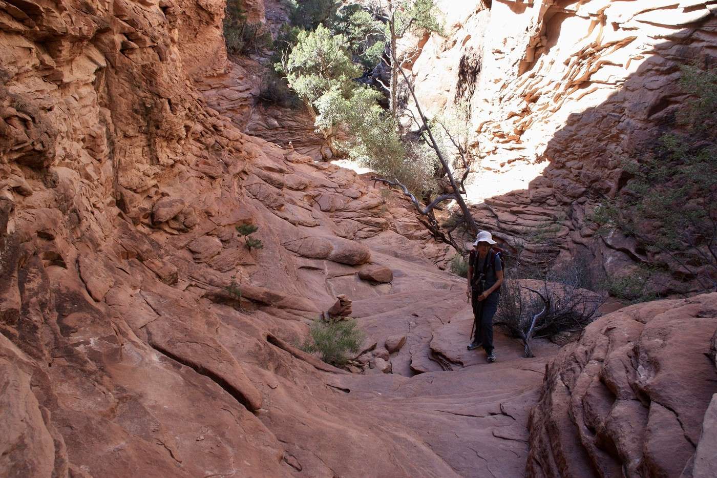
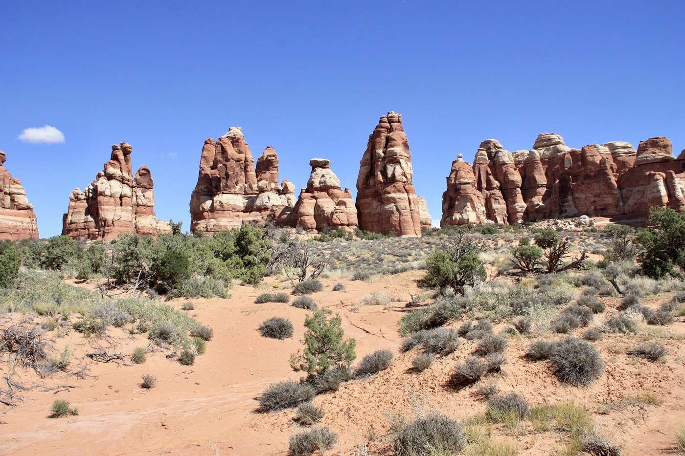
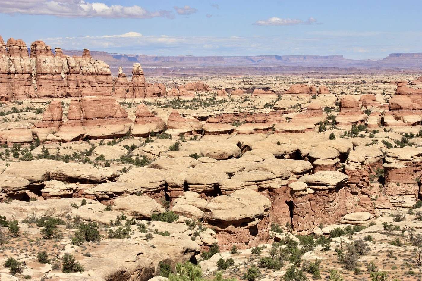
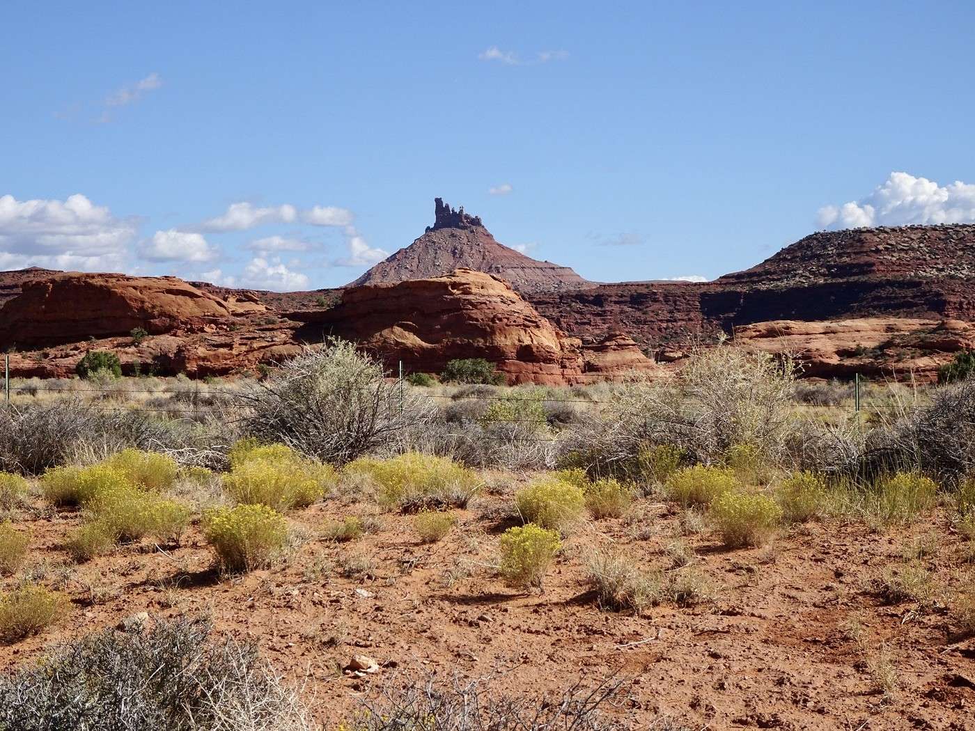
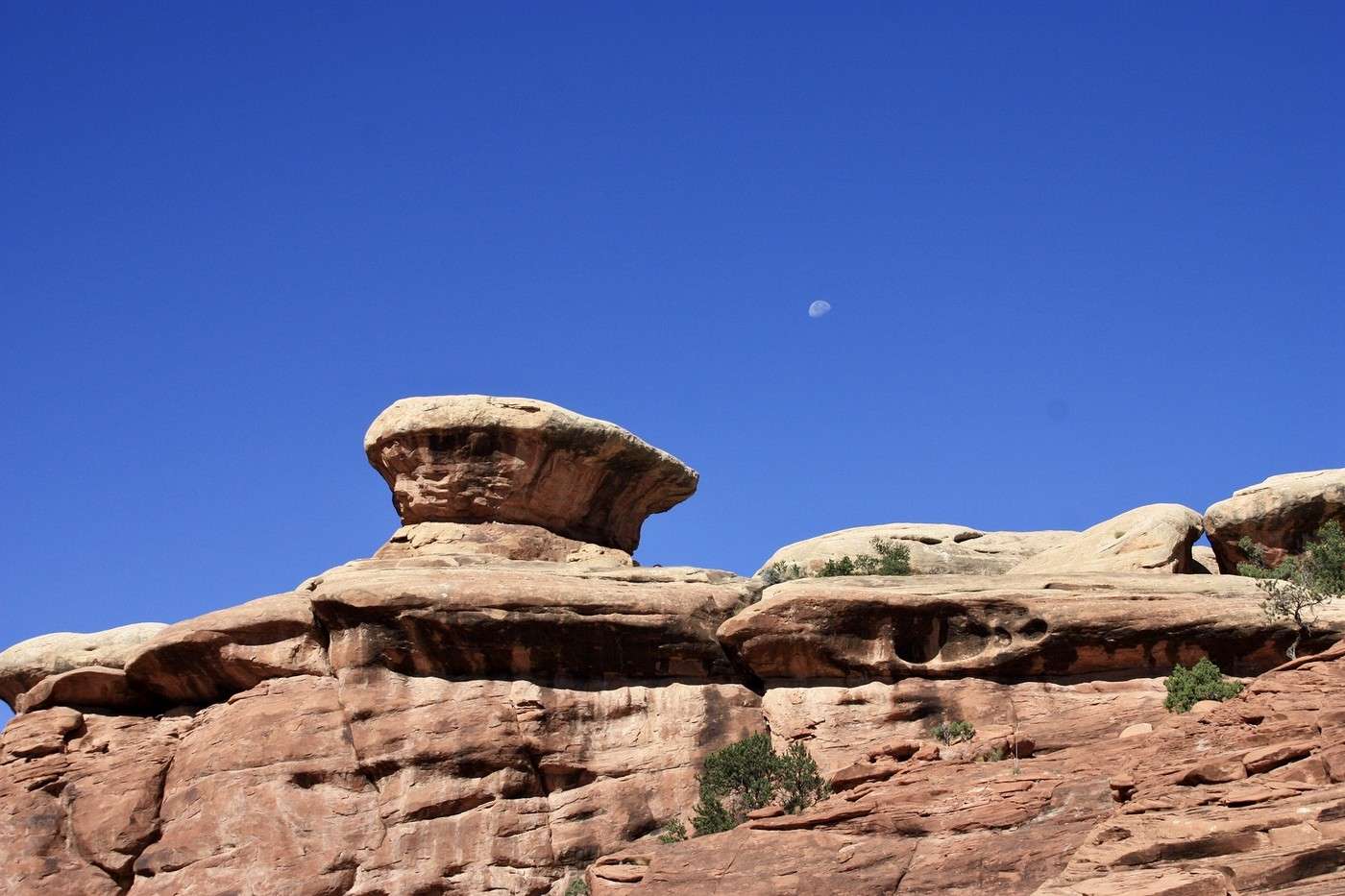
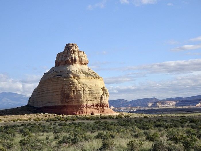
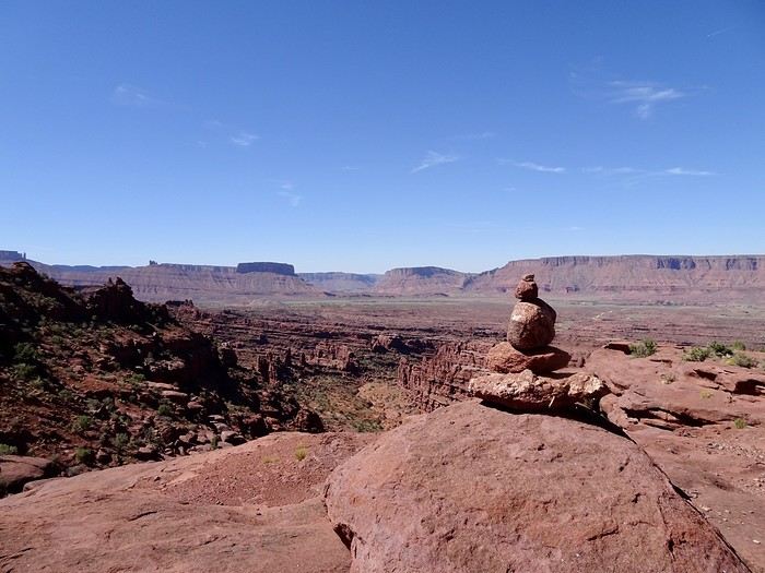
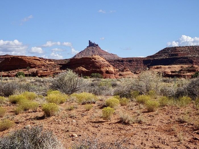
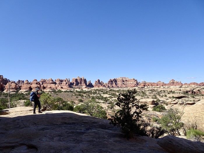
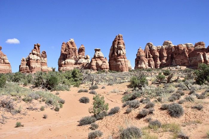
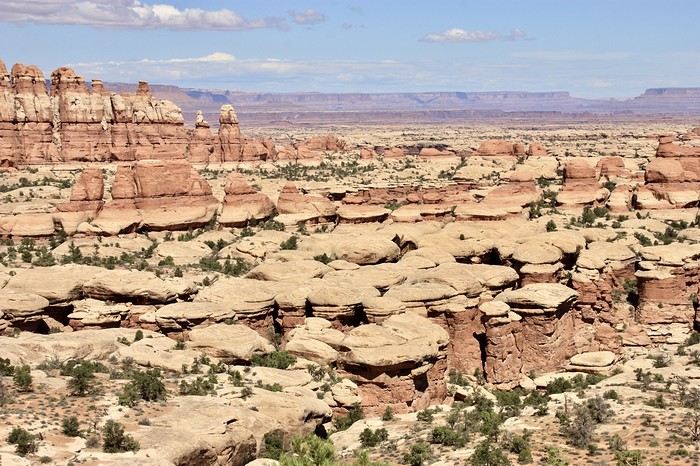
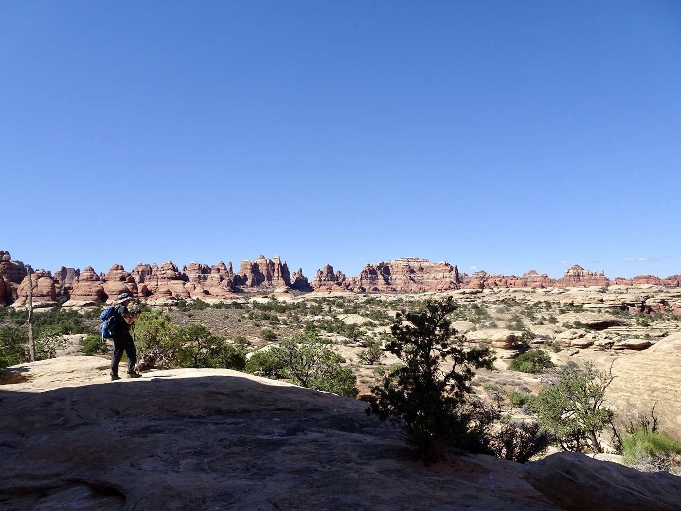
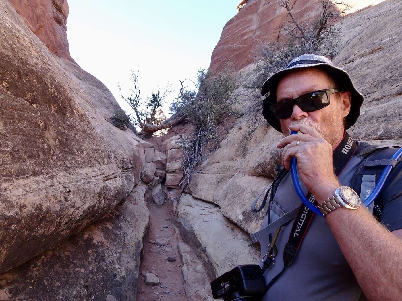
Canyonlands has been a national park since 1964. It’s a wild expanse of canyons, mesas, buttes, ridges, and spires. It’s divided into three very different districts: Island in the Sky (the easiest to access), the Maze (the most remote, only accessible by high-clearance 4x4), and the Needles. Even though this was our third time in the Moab area, we’d never been there before, and I really wanted to explore the Needles—especially Chesler Park. The Chesler Park Loop had been catching my eye for a while. It’s a fantastic, fun hike, but it’s 180 km from our motel to the trailhead, and it’s rated as difficult, with over 17 km and more than 500 m of elevation gain. It’s supposed to take 5 to 7 hours. We don’t hike super fast (I huff and puff on the climbs and get nervous on the descents), I stop every two meters to take photos, and it’s already been 11 days of me putting poor DD through the wringer with all the driving—especially since he’s the only one behind the wheel! There’s no way we’d make it, especially with all that driving. After the hike, we’d still have another 80 km to get to our accommodation, making it 260 km of driving plus a tough hike. I tried negotiating a few times, but no luck. We set the alarm for 6 a.m. and left at 7:15. DD barely ate anything at breakfast—too annoyed about having to argue with me and my stubbornness over this darn hike. As soon as we turned off at Church Rock, the red rocks I love started appearing. No more golden aspens—the giant stone formations of Utah were back. We drove through majestic mesas, each one more beautiful than the last. It’s just as stunning as Monument Valley. The visitor center confirmed the distance, difficulty, and mileage! The road to the trailhead was smooth and easy. But after our visit to the visitor center, I was less sure about my plan. I suggested we start and go as far as we could, still hoping deep down we’d finish the whole thing. We set off at 10:30—way too late! This kind of hike should start early. It began with a steep climb, then alternated between easier ups and downs for a bit. But we were mostly walking on rock, with some rocky or sandy trail sections, so you had to pay attention. Stairs between boulders, narrow gaps, rocks of every color and shape—we followed the cairns, and I was loving it.
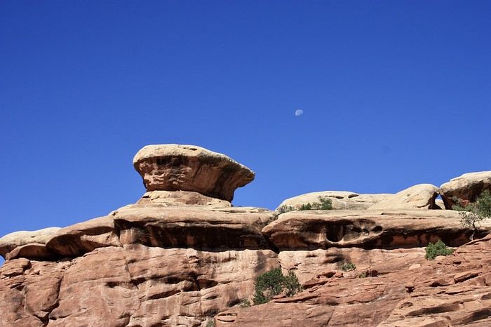
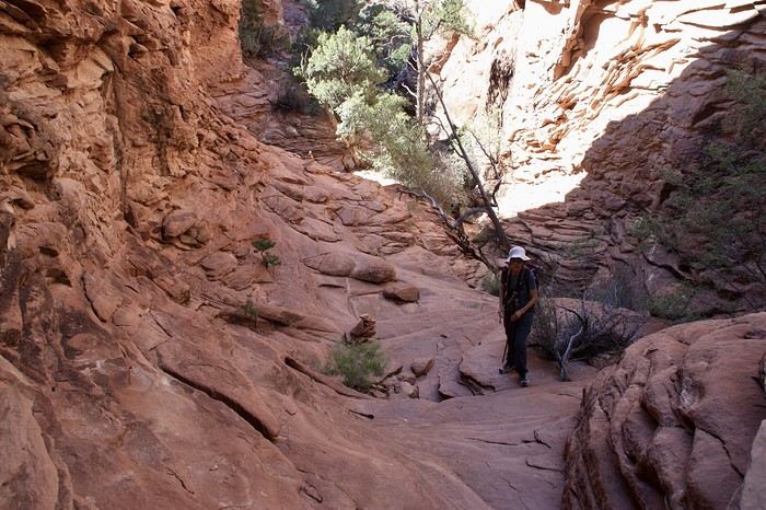
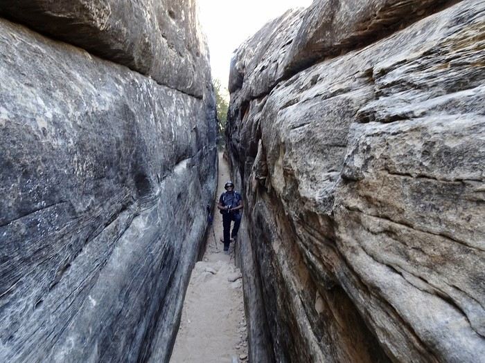
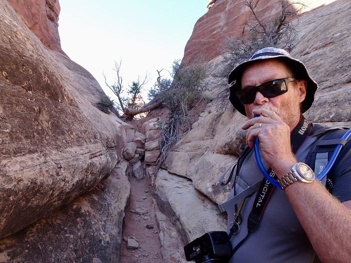

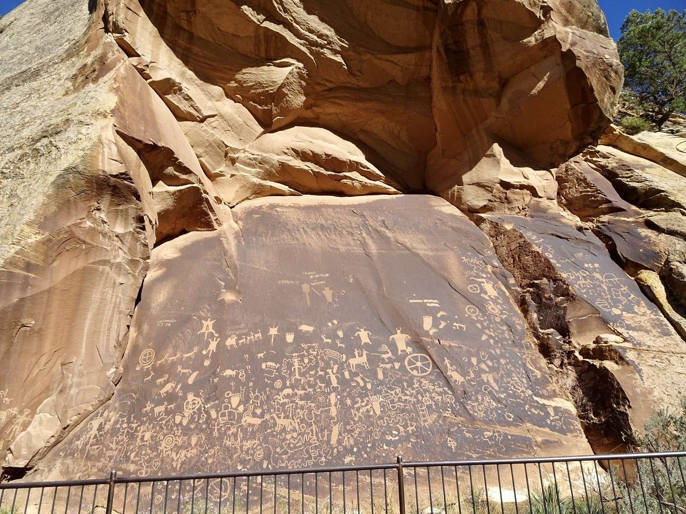
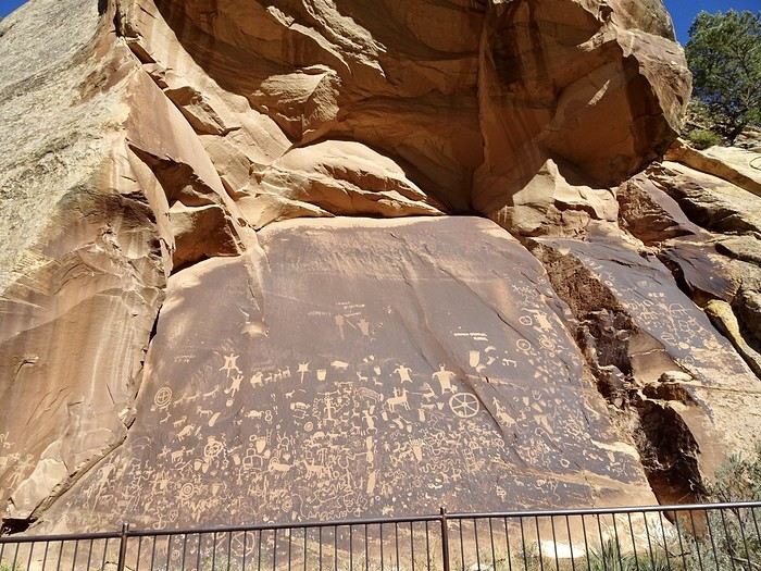
We were making good time. Then things got tougher! It just kept going up and up. I came back down to earth—this was too hard for my old bones. When we reached Chesler Park Viewpoint, where the loop starts, we’d only covered 5 km in two hours. We got pretty close to the needles, which you can see in the distance. It’s beautiful. We stopped for a snack. DD suggested we walk a little further. It was 12:30 p.m., and it was really hot. The best part of doing the full loop would’ve been the slot canyon and the cave with the cairns. If we weren’t going to make it there, we might as well turn back—especially since our next stop in Moab wasn’t going to be a walk in the park. Goodbye, Chesler Park! Just a few more photos on the way back. (Ah, those red rocks!) We got back to the car at 3:10 p.m. with the temperature at 26 °C. According to my phone, we’d walked 14 km with all the back-and-forth (personally, I think it was less). No regrets about trying—we probably could’ve finished, but at what cost! I was still in awe of the massive red mesas on the way back. We made a quick stop at Newspaper Rock to see its 650 incredible pictographs, drawn by the Ute, Anasazi, and Fremont tribes—some of them 2,000 years old. The drive back to Monticello took us along the beautiful, flower-lined Hart Draw Road. Since we still had leftovers, we ate them quietly in our hotel room. Tomorrow, we’re heading to Arches National Park, specifically Delicate Arch for sunset! I hope the weather’s nice!!!!
Martine and DD in Colorado and Utah

Apolloroux · 2025-01-06 · Message 25 of 60

Hi Martine, What a joy to see you here again. Thanks for sharing your trip—I know it well since I followed it with so much interest on FB. I saw you’re planning another one. That’s awesome! Hugs and happy 2025! !

Martine and DD in Colorado and Utah

Marcalamar · 2025-01-06 · Message 26 of 60

Hi Joëlle 🙂 So glad to see you here too! We’ve just finished booking our hotels for September. I need to wrap up this travel journal before diving into planning my days. Big hugs 🙂

Martine and DD in Colorado and Utah

Marcalamar · 2025-01-06 · Message 27 of 60

Day 13, September 23: Monticello - Moab: quick visit to Arches National Park and Delicate Arch at sunset Apache Motel: 461 for 3 nights with takeaway breakfast to eat in the room. Small little motel a bit out of the way but really nice with a fridge, microwave, and pool

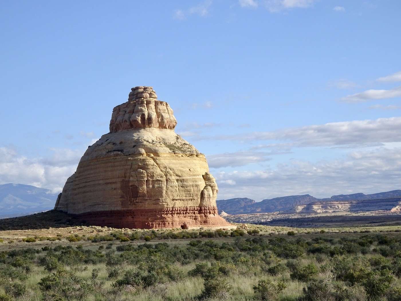
Today we slept in—we’re only 82 km from Moab, and our accommodation won’t take us before 3 PM, so we’re taking it easy. We left at 10:30 AM with 23°C. It’s a nice change from Colorado’s temperatures, and we’re also going from 2,155 m to 2,227 m in elevation. We’re taking the same road as yesterday. We passed by Rock Church.

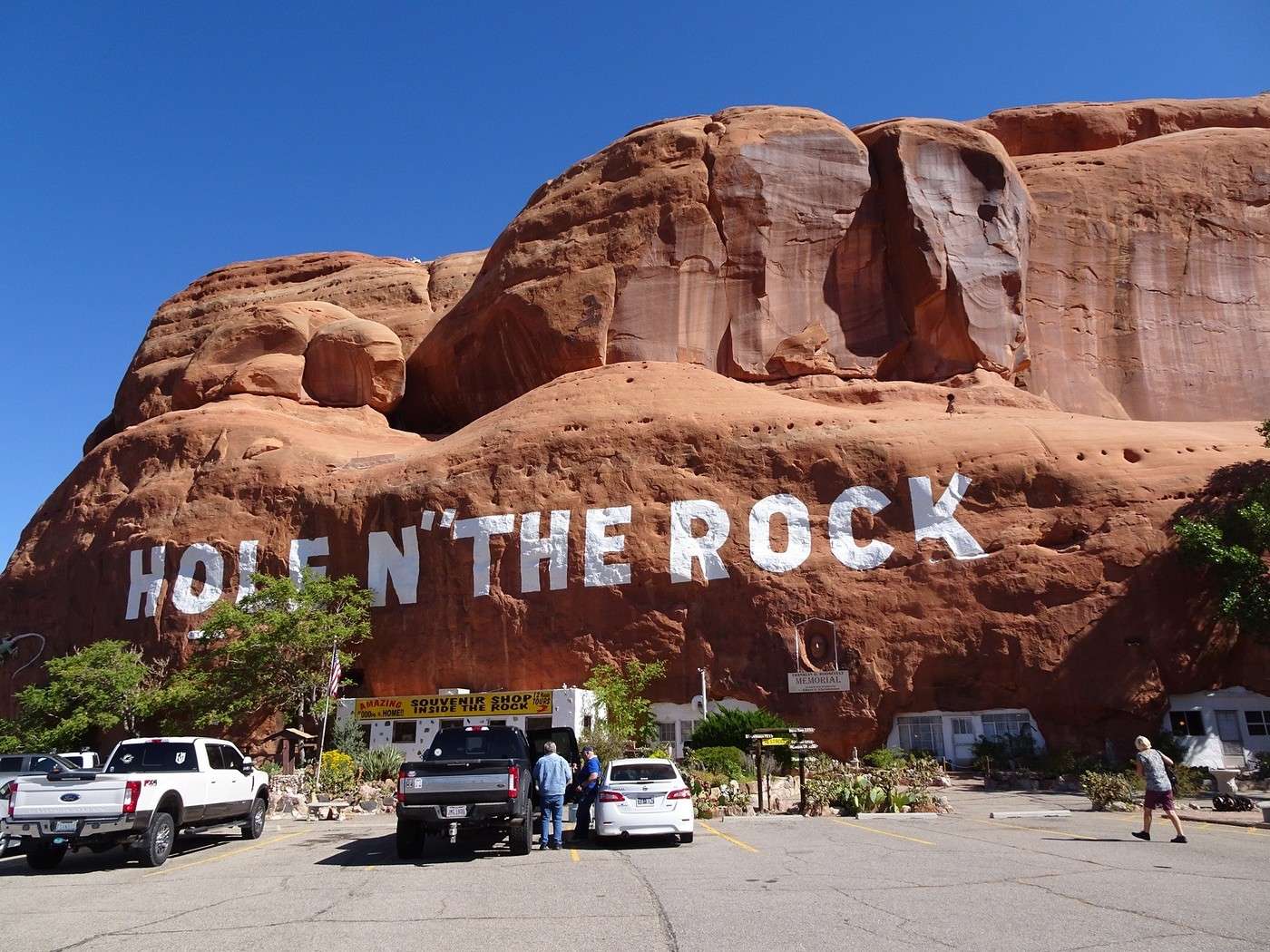
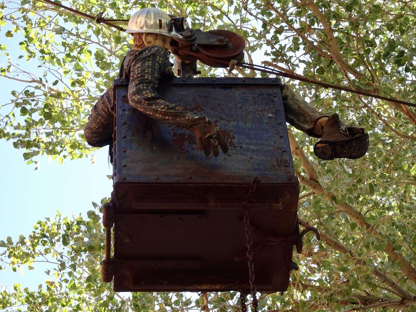
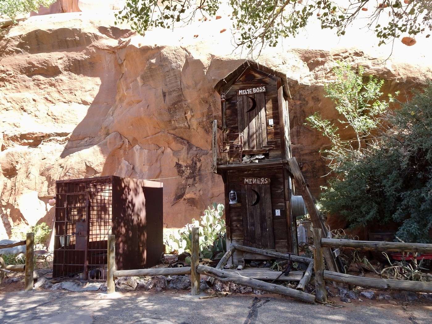
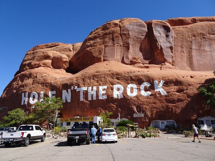
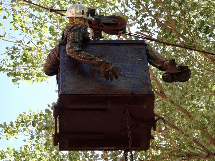
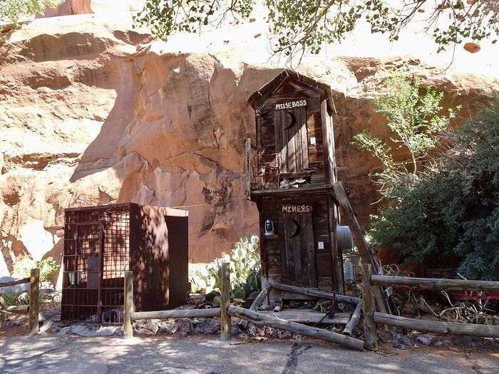
We skipped Needles Overlook on the way—the viewpoint is supposedly amazing but too far off the road. We made a quick photo stop at Wilson Arch. This is the third road trip where we’ve passed by Hole n’ the Rock without stopping. Today, we had time. It has nothing to do with the Mormon pioneers’ Hole in the Rock. For 12 years, a dreamer and his wife carved an enormous house (over 450 m² and 14 rooms) into a red rock. After his death in 1957, his wife continued the work and set up a souvenir shop. Both are buried in a small cove in the rock. You can visit a zoo there and take a short outdoor walk to discover all sorts of quirky objects. There are also souvenir shops and pretty flowers. If you’ve got some time to kill (or if you’ve still got a kid’s sense of wonder), the visit isn’t unpleasant.
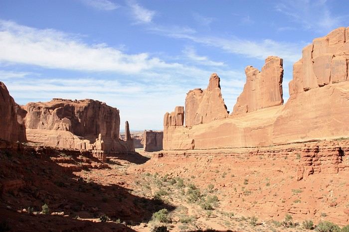
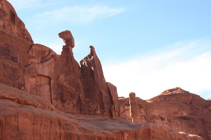
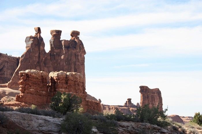
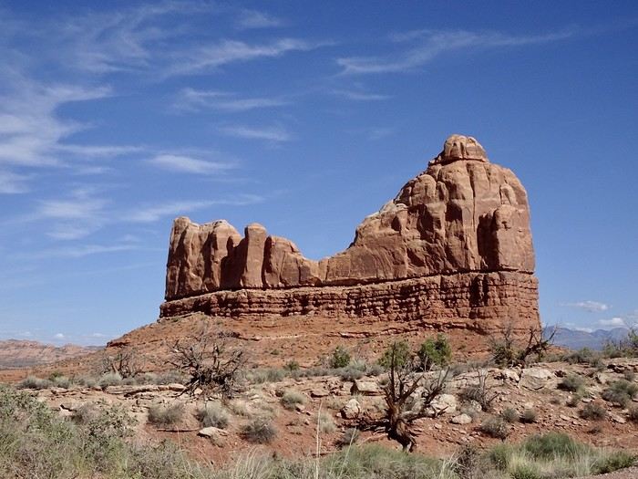
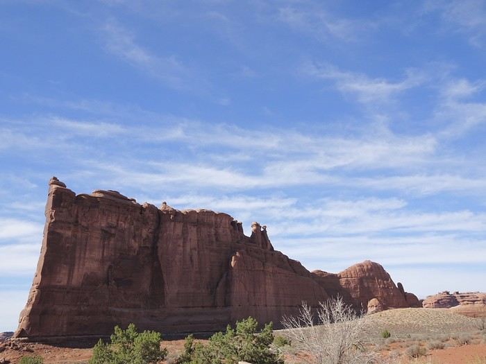
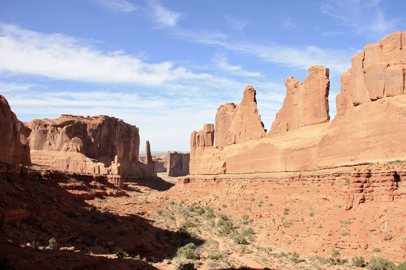
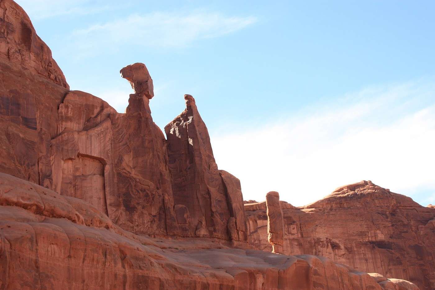
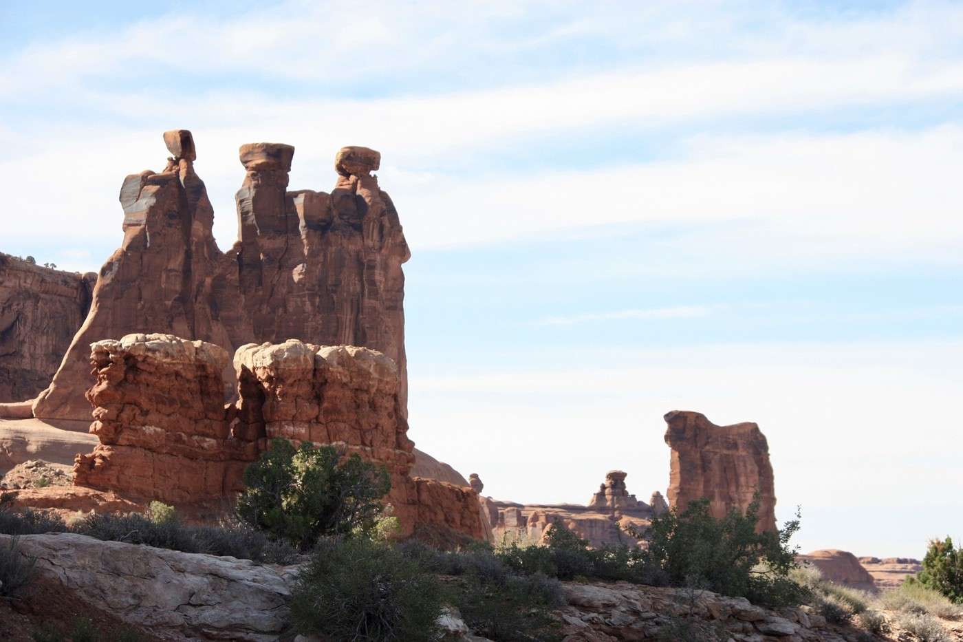
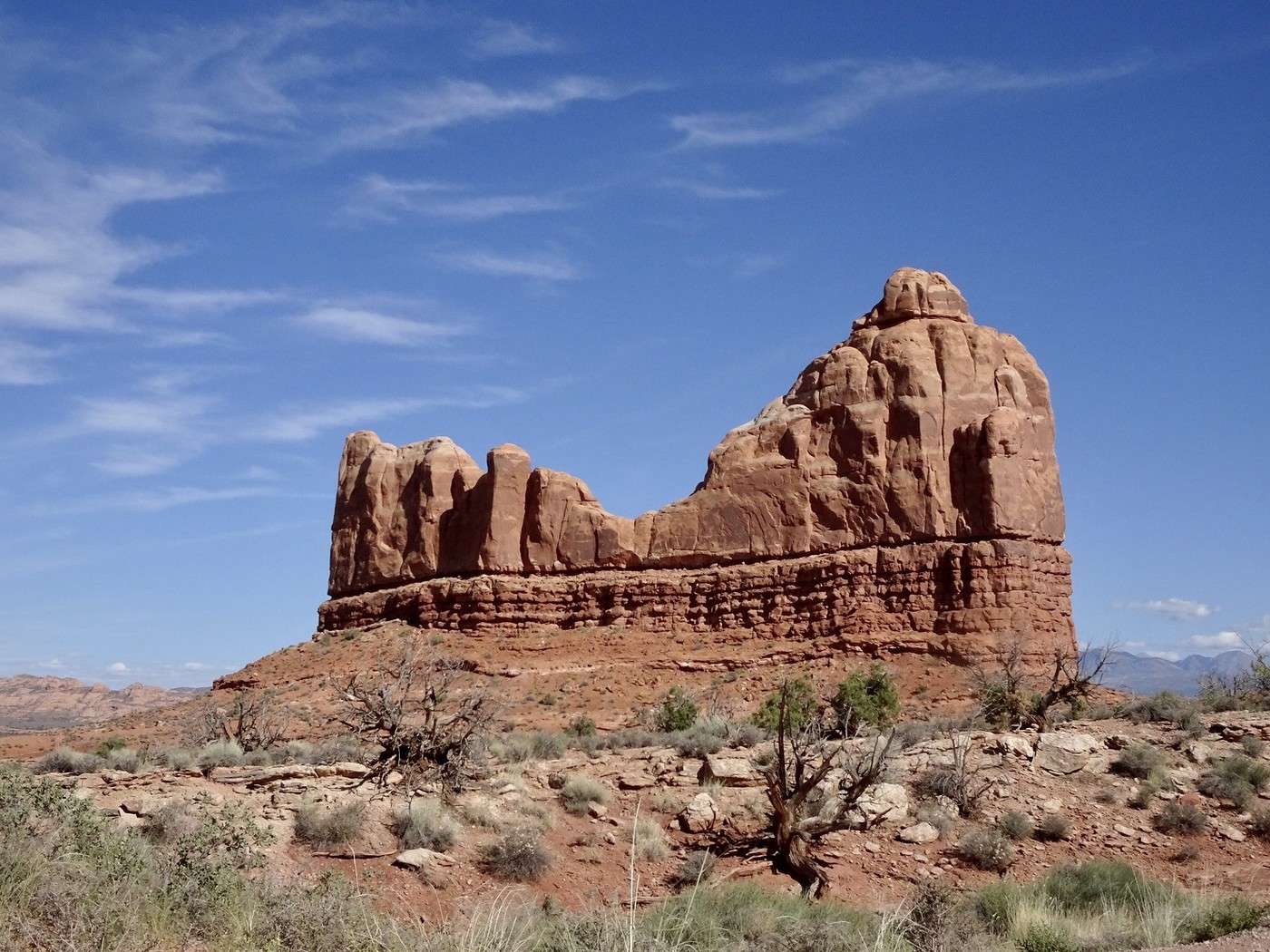
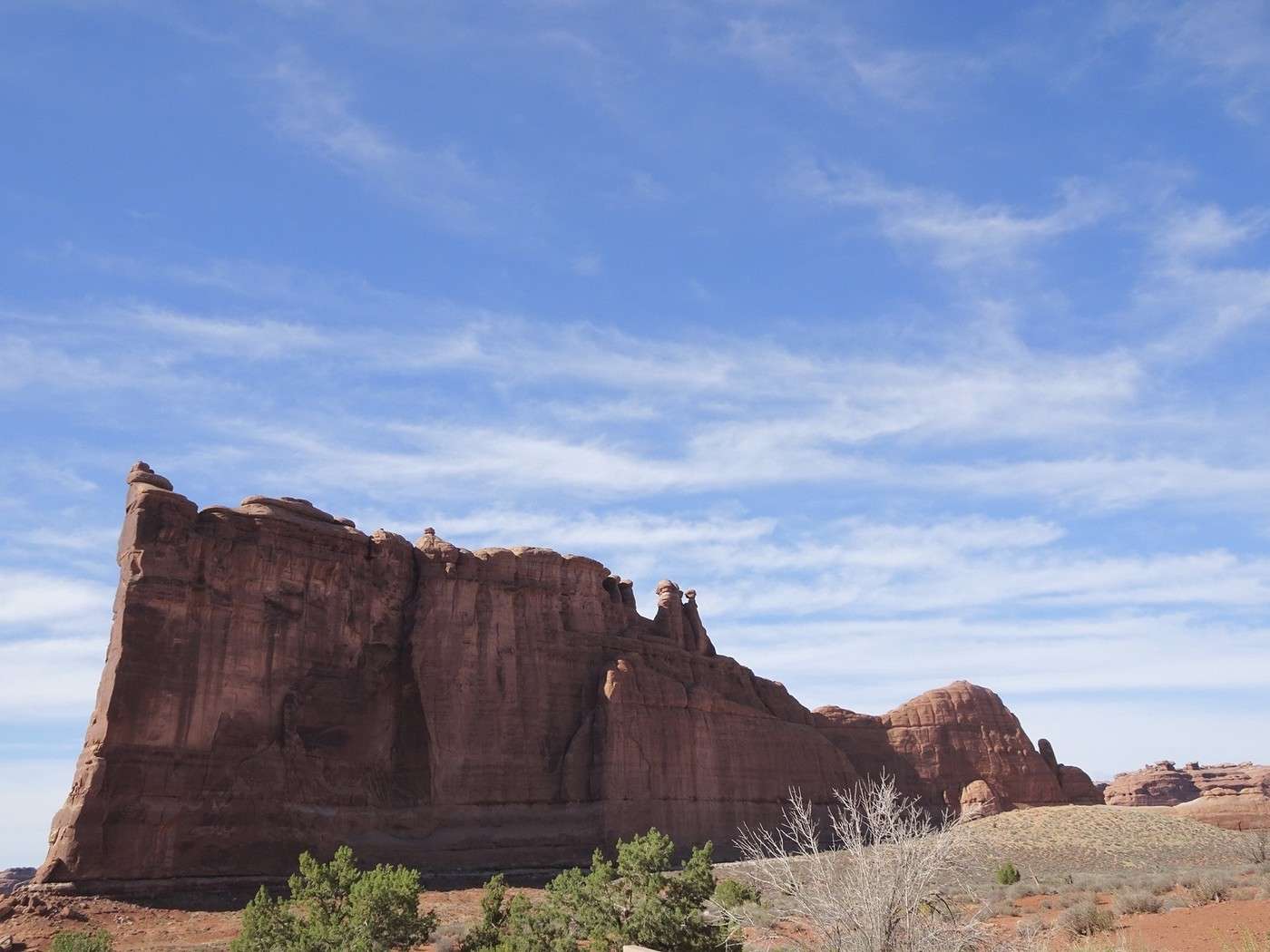
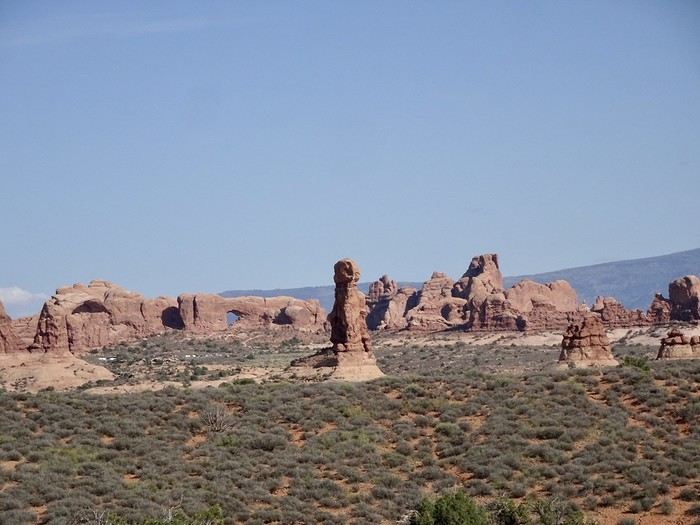
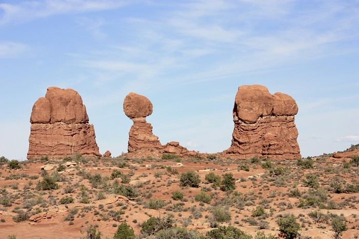
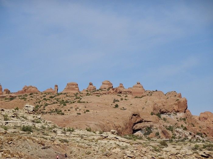
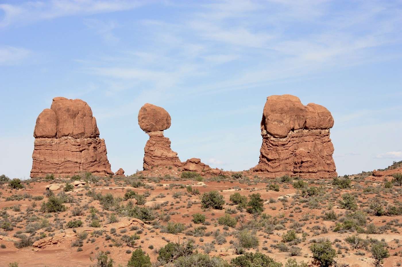
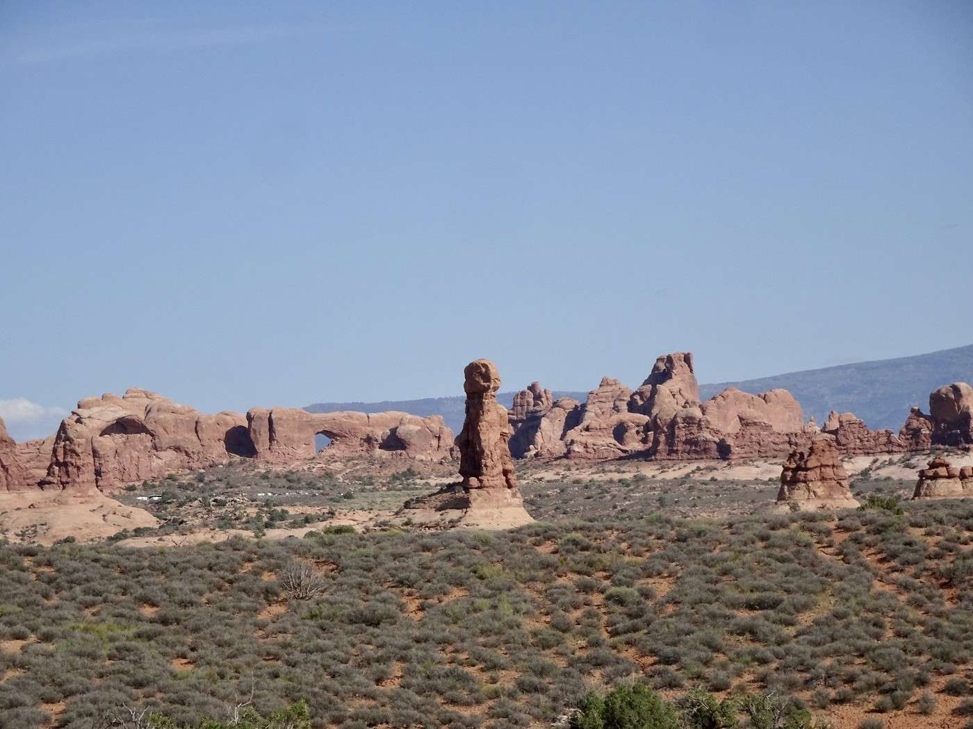
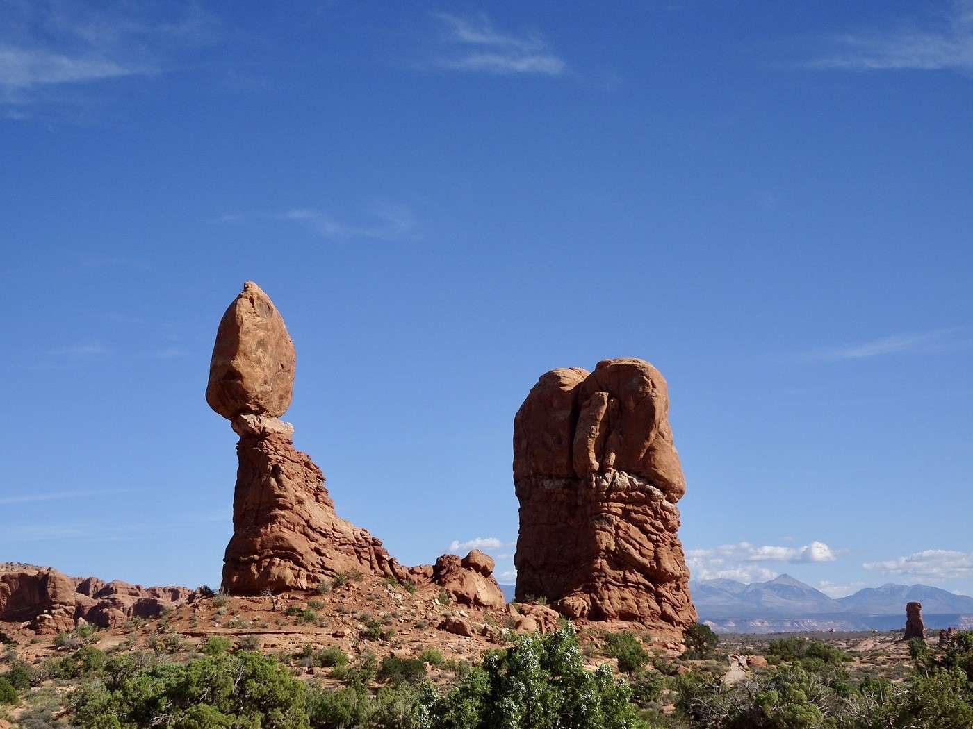
We arrived in Moab at noon and headed straight to Zax, where we got two huge, delicious pizzas and took two boxes to go—they’ll be our dinner since restaurants in Moab close at 9 PM. Today’s plan: head to Arches National Park to see Delicate Arch at sunset. This park, with its massive blood-red cliffs, has over 2,000 arches sculpted by rain, snow, frost, and extreme temperature swings. They sit alongside rock formations that are each more unique than the last. Since COVID, you have to book your entry time and day four months in advance if you’re visiting between 7 AM and 4 PM (to limit traffic). This is our third visit to this incredible park, and the hike parking lot is almost 30 km from the park entrance, so we decided to stop quickly to photograph the main formations.


Martine and DD in Colorado and Utah

Marcalamar · 2025-01-06 · Message 28 of 60

Arches Park and Delicate Arch at sunset (continued)

The stops at the various viewpoints are short and often from quite a distance.


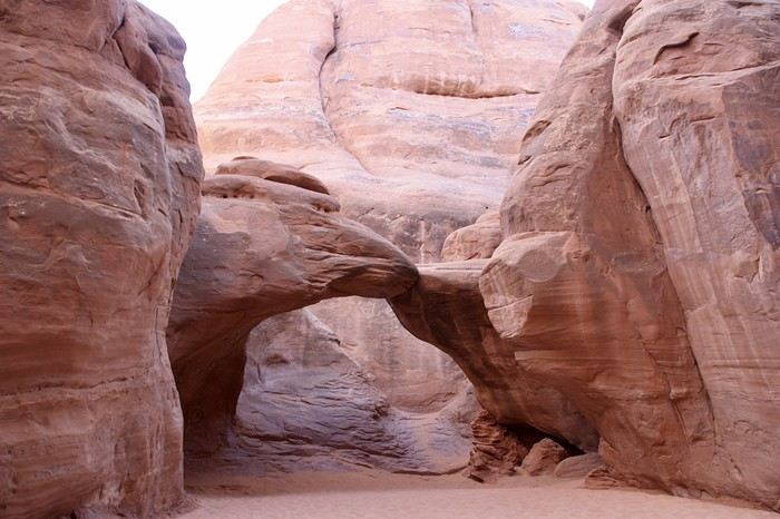
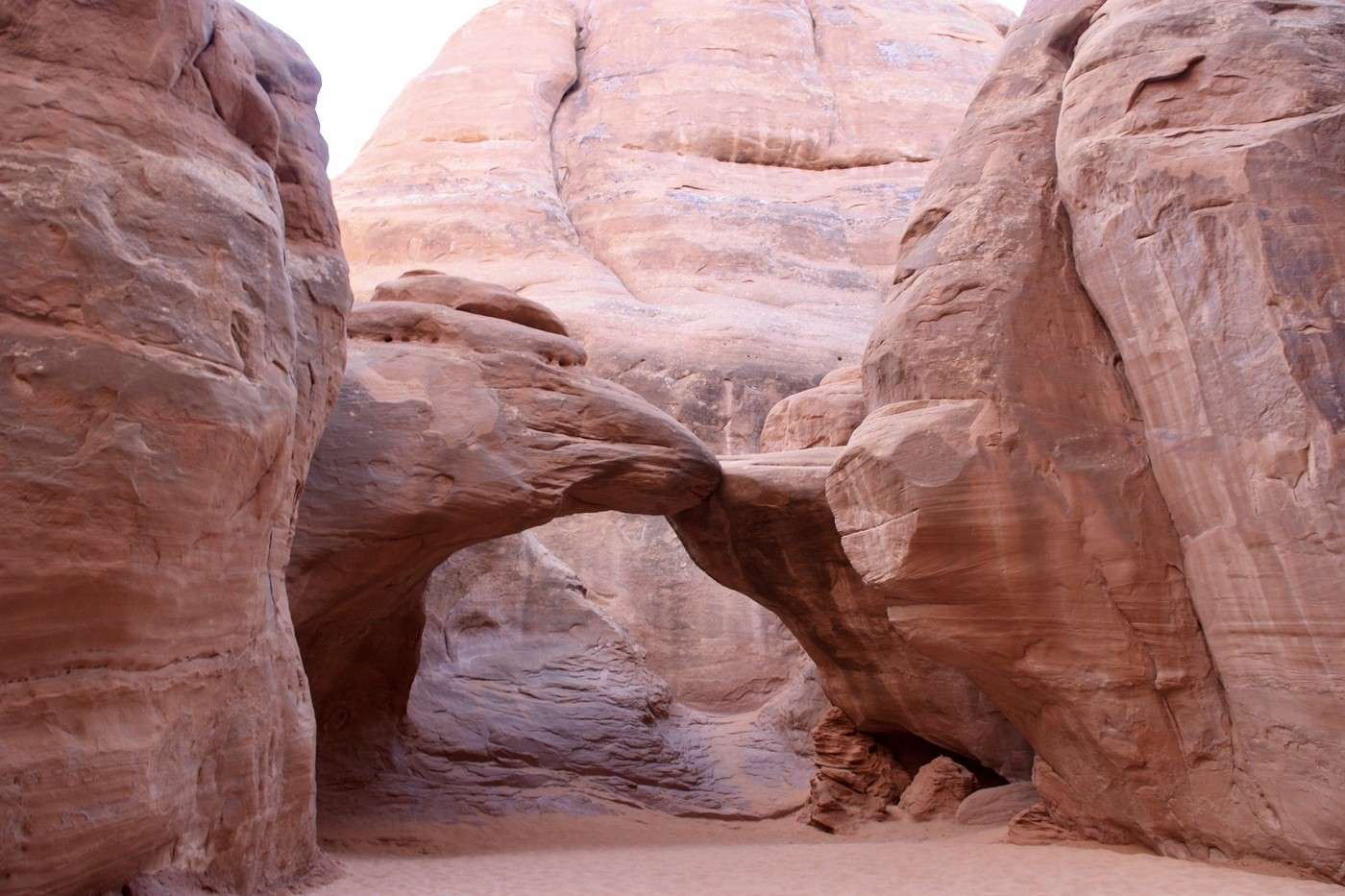
However, since we hadn’t been back there in 2023, we decided to pay a little visit to the lovely Sand Dune and its powdery sand.

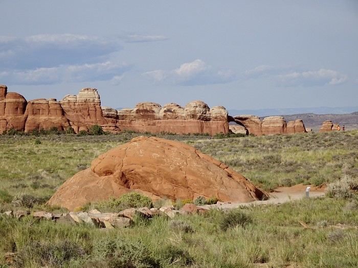
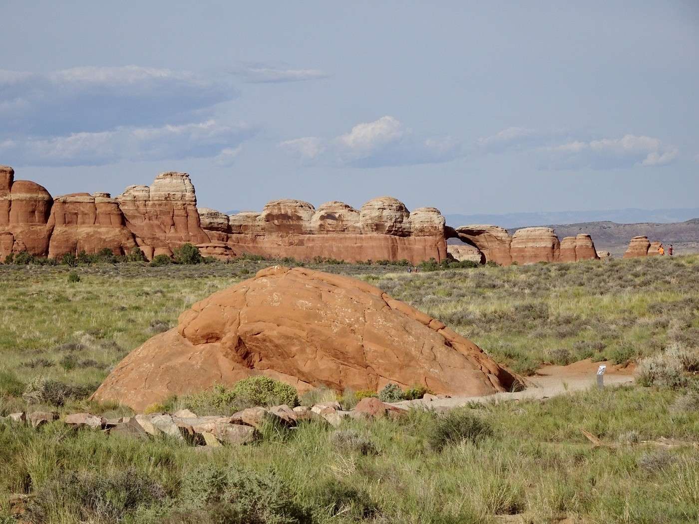
With Broken Arch in the far distance.

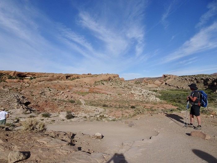
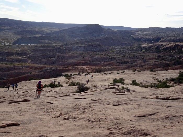
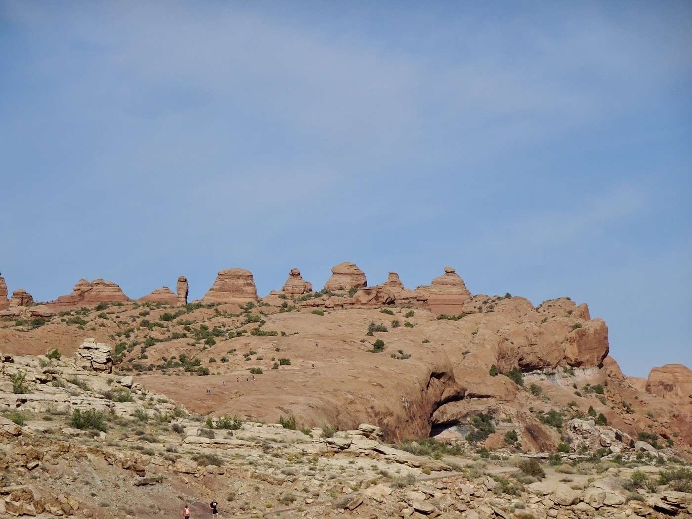
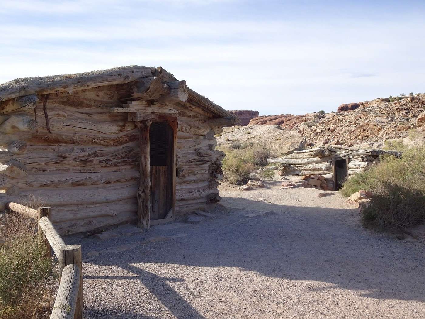
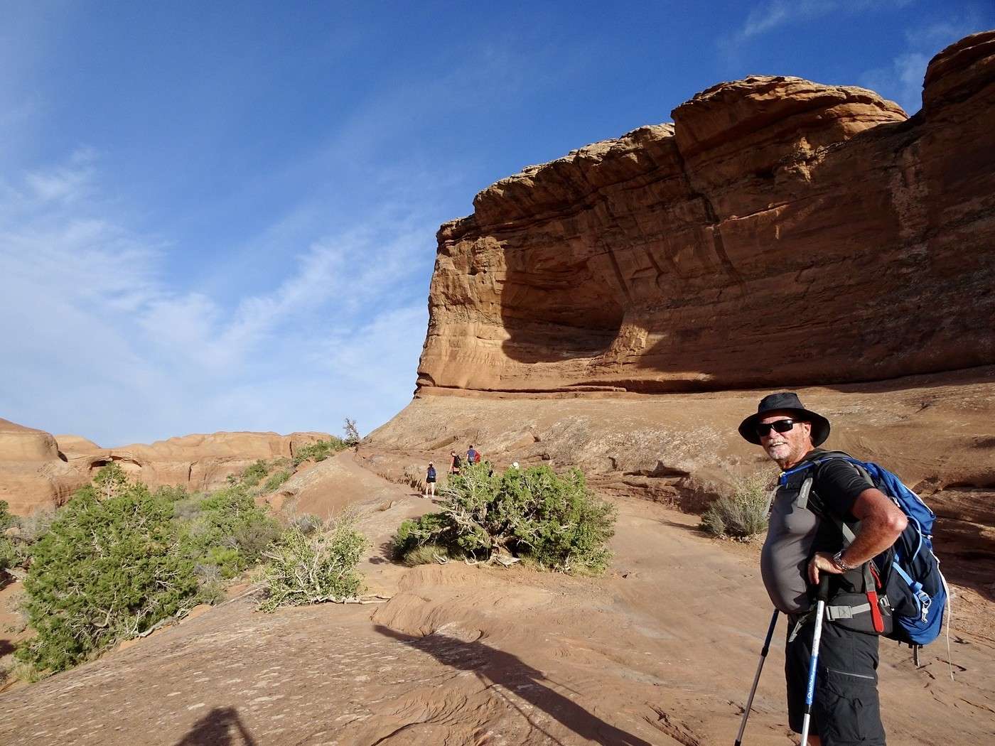
At 5 PM, we left the parking lot and set off for a 2.5 km hike and a good 45-minute climb. You can see the tiny people on the left side of the photo. The cabins of the former Civil War soldier.
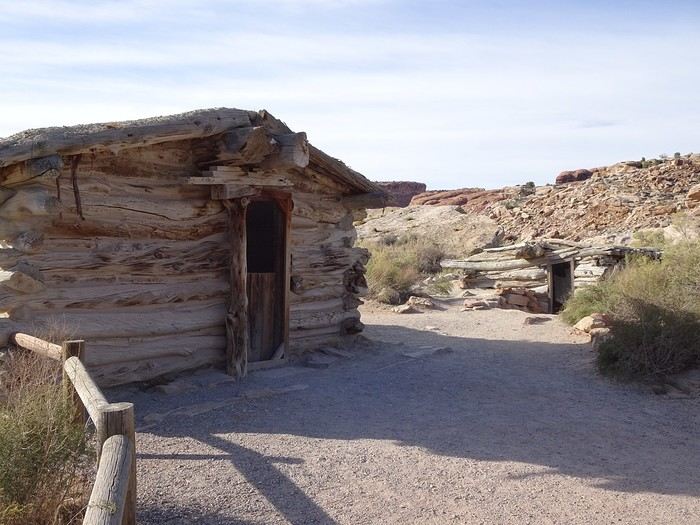
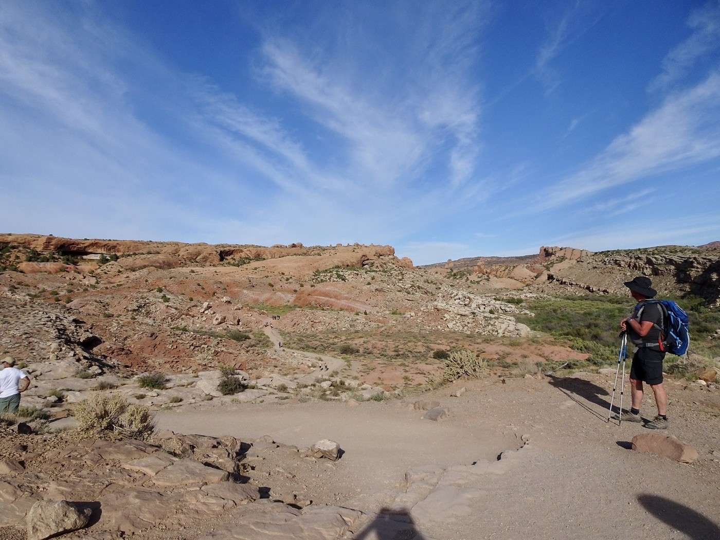
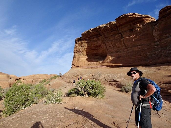
We tackle the toughest part.

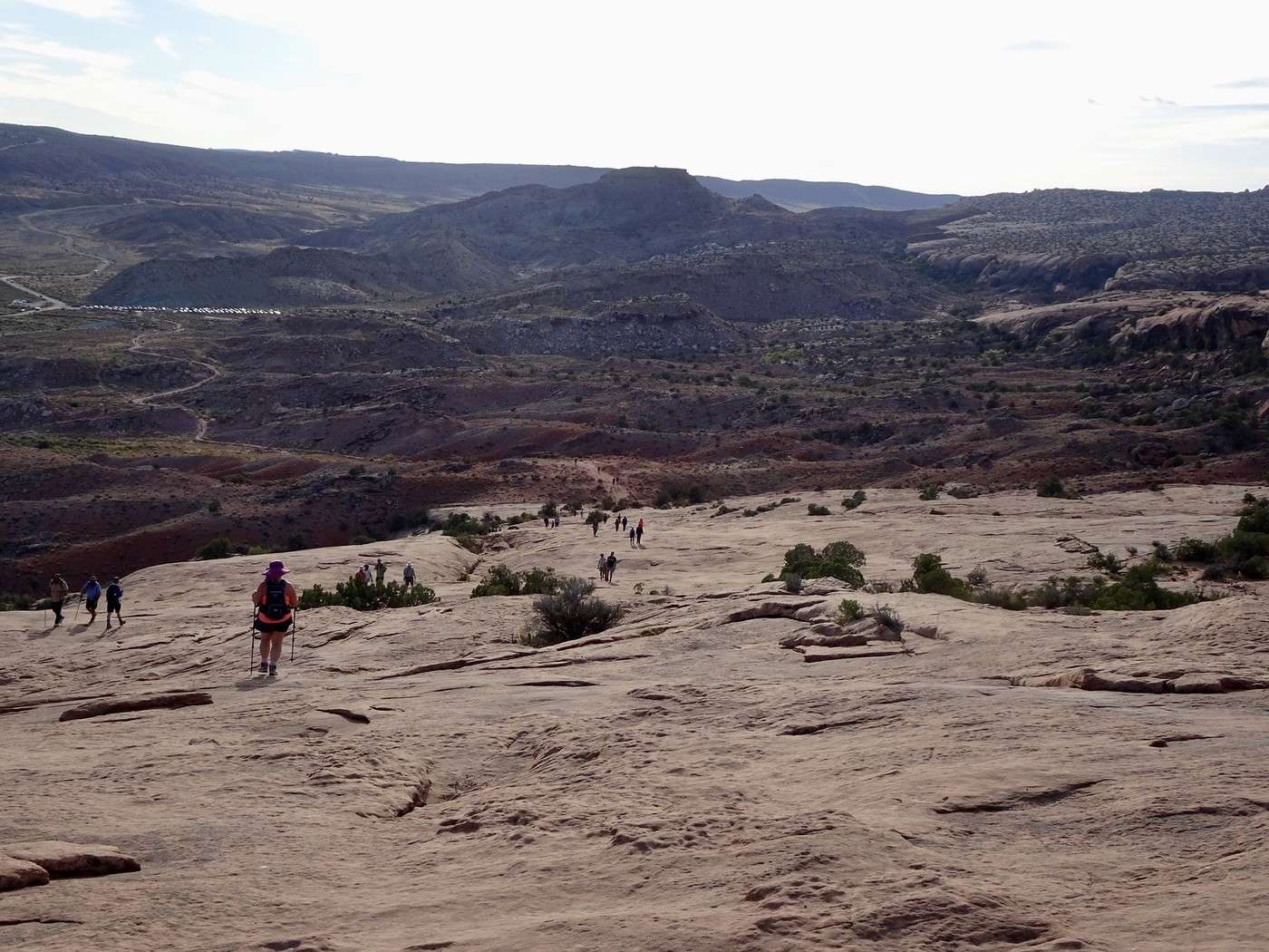
It’s still pretty easy, though. No more climbing—it’s much more relaxed from here on out.

Martine and DD in Colorado and Utah

Marcalamar · 2025-01-06 · Message 29 of 60

Delicate Arch at sunset (continued): the wait

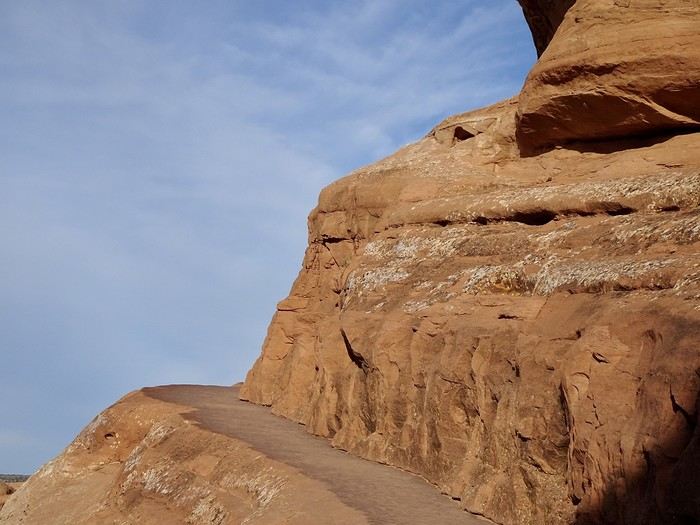
It was a bit of a tough climb, but who cares—the reward is at the end of the trail. All we have left is to follow this narrow ledge.


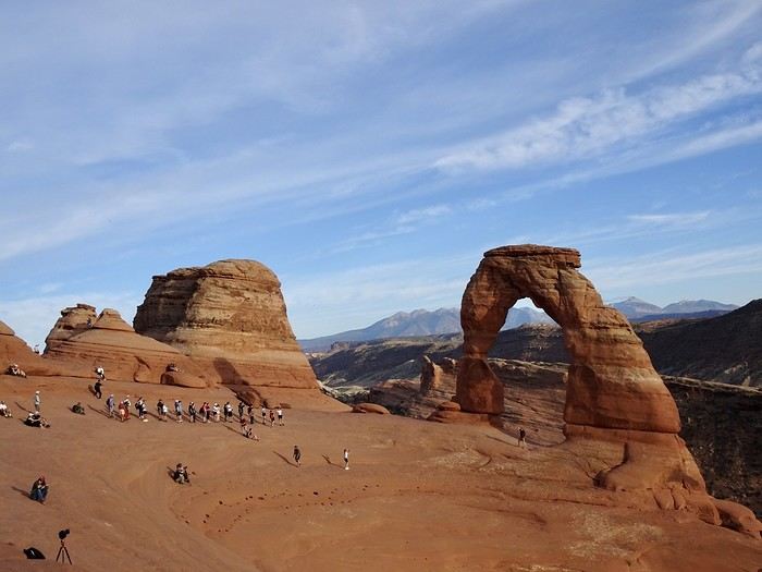
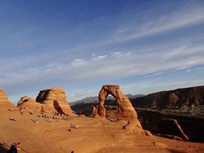
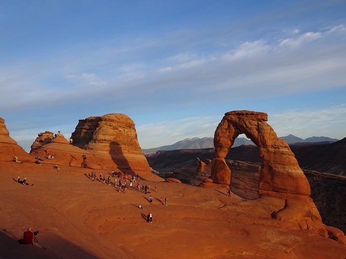
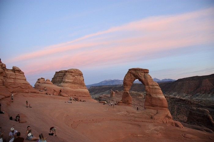
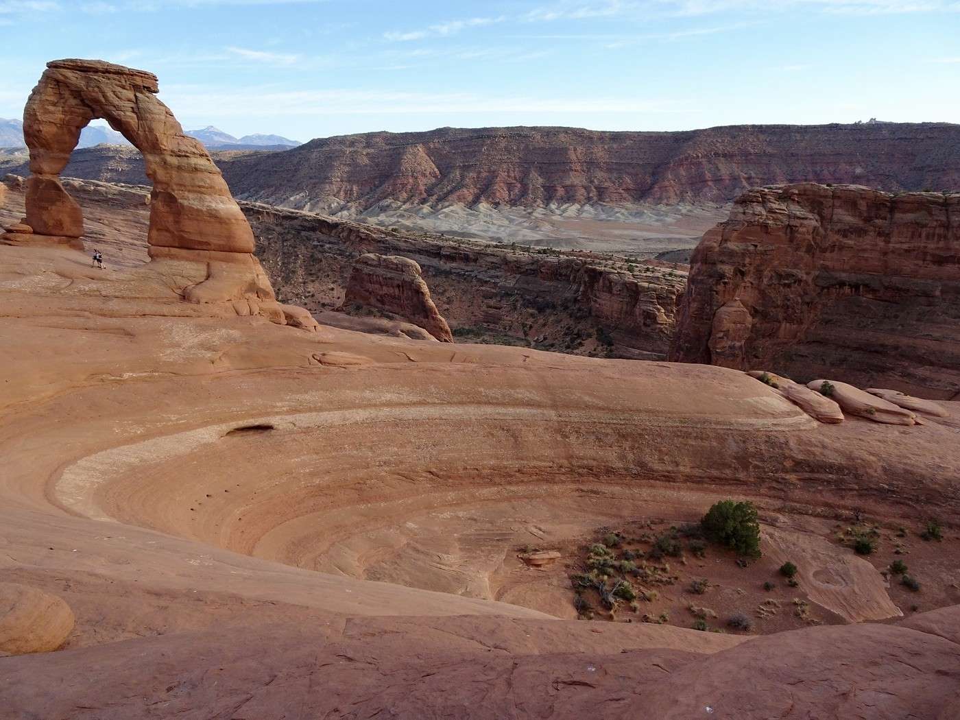
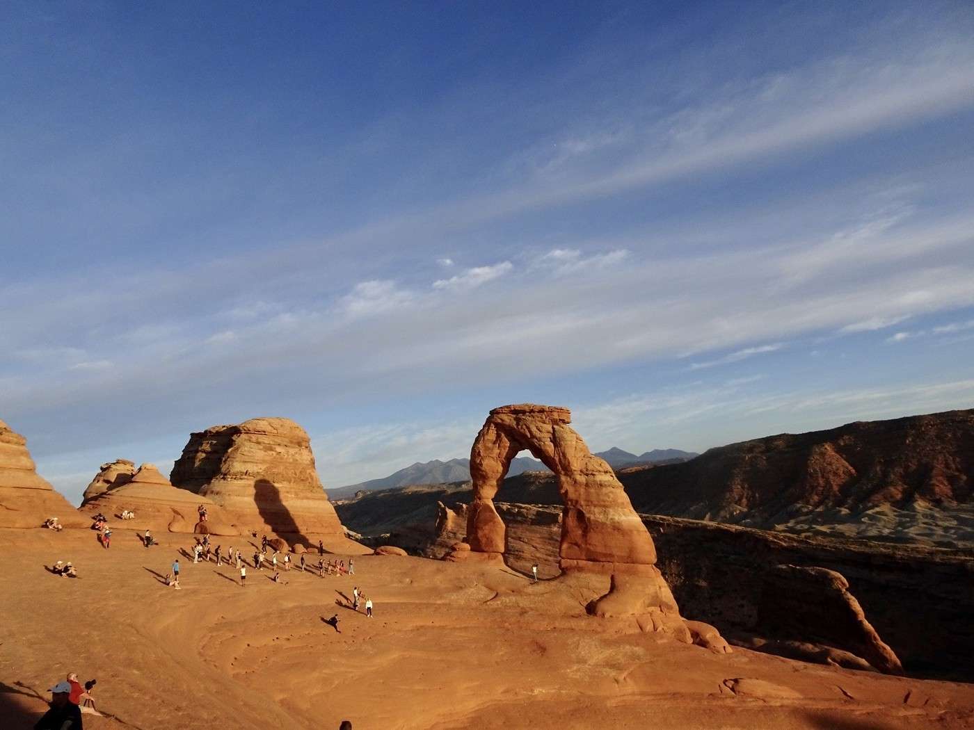
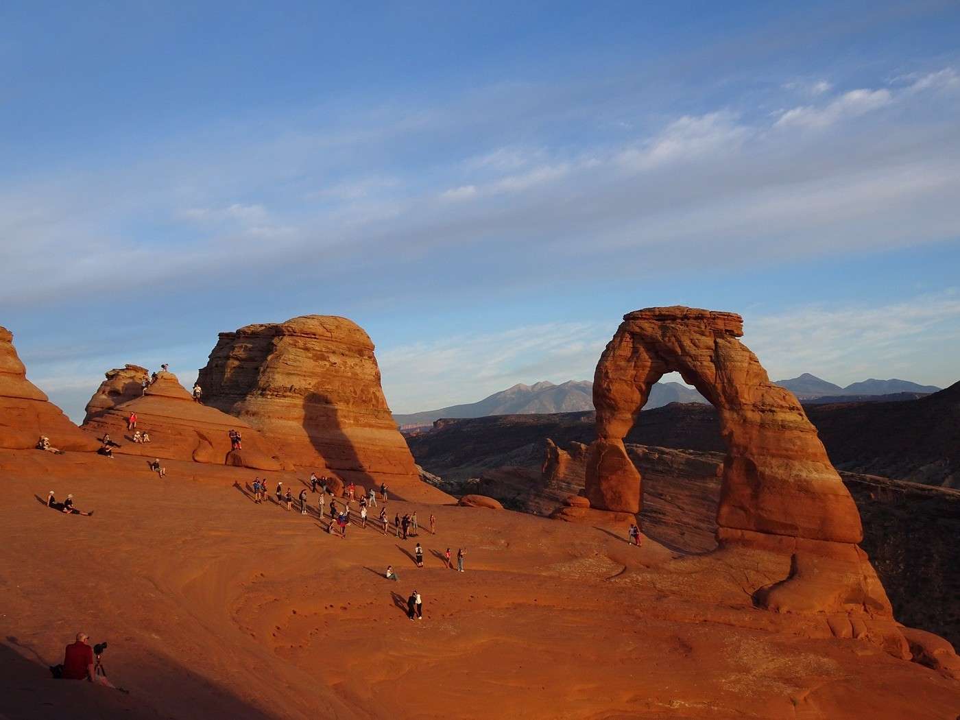
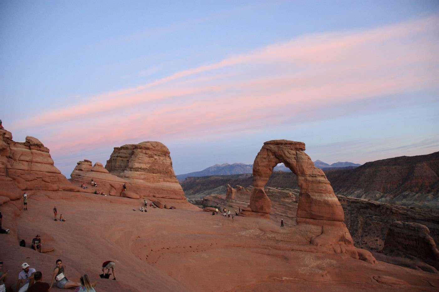
At 5:45 PM, we’re at the top. Even though we saw it last year, this arch (which is the emblem of Utah) with its 20 meters of height still makes us go “wow.”

We’ve got an hour and a half to wait before the sun sets. We settle in quietly in the shade, find a good spot, and have fun watching the crowd of hikers lined up one after another for the souvenir photo.


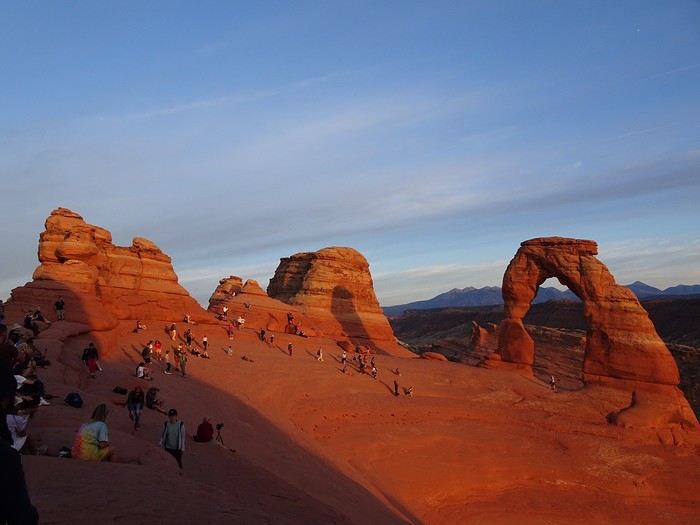
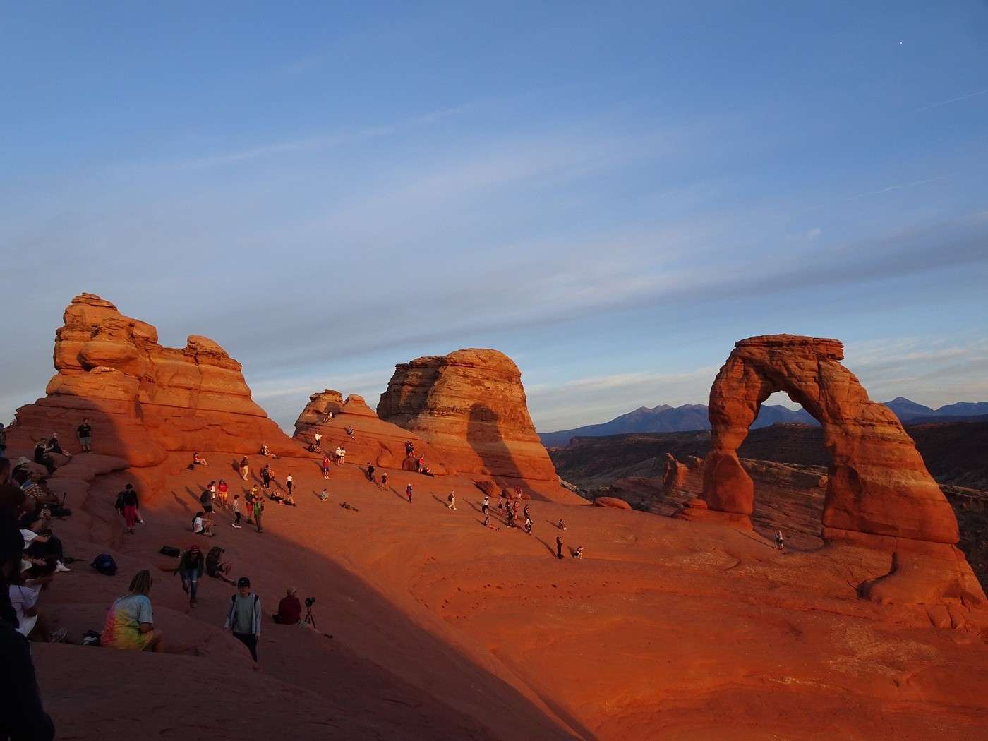
As the sun goes down, the arch, already red to begin with, changes color and lights up.

Its shadow grows on the rocks beside it.

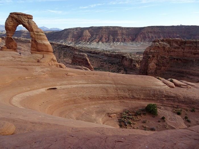
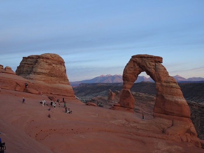
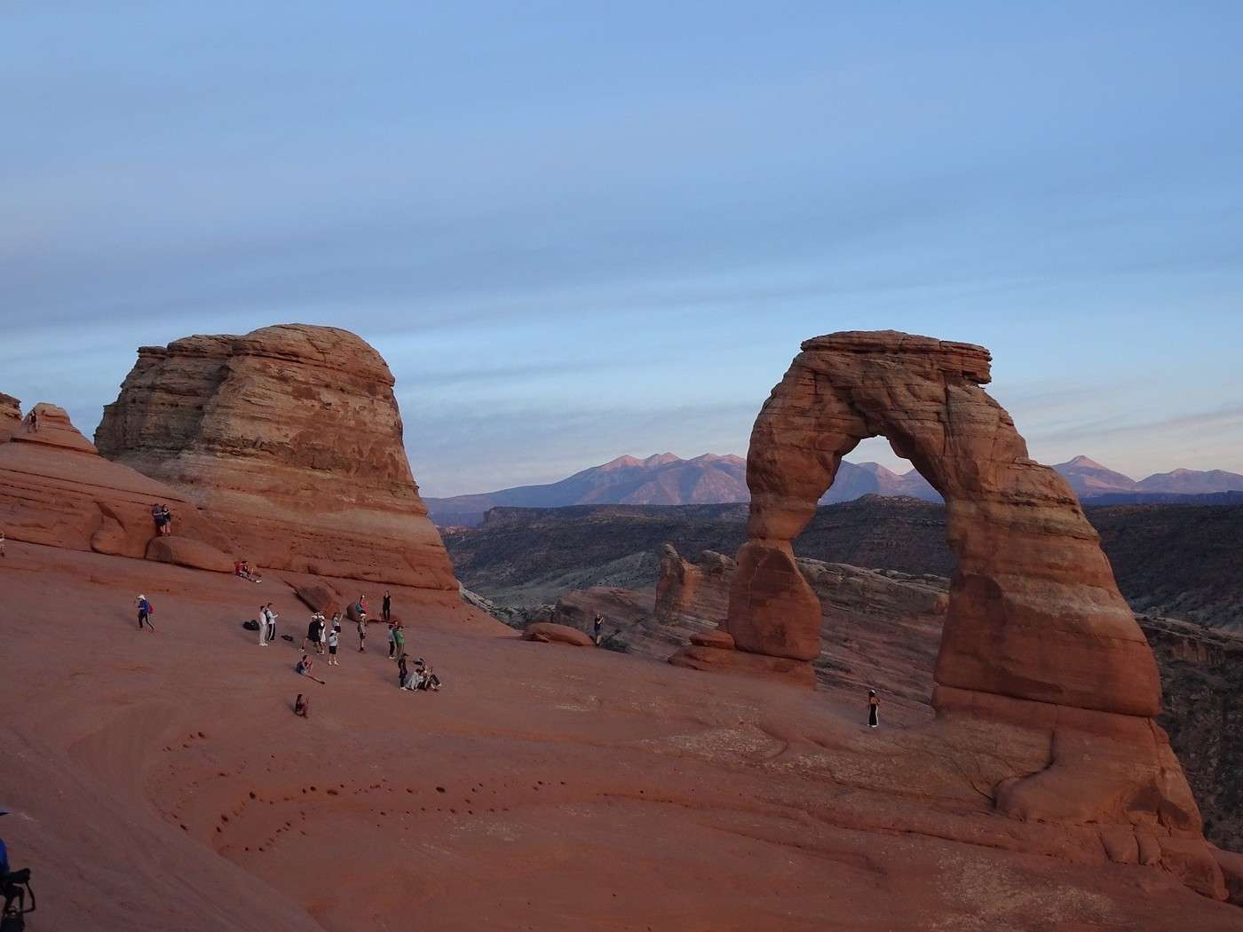
It’s breathtaking—it’s mild out, we’re taking it all in, the shadow settles into the amphitheater. The arch fades gently, while the Sal Mountains in the distance get dusted with pink.

We wait a little longer, and suddenly, it’s the trail of clouds that turns pink in the sky above it and over the Sal Mountains just behind.

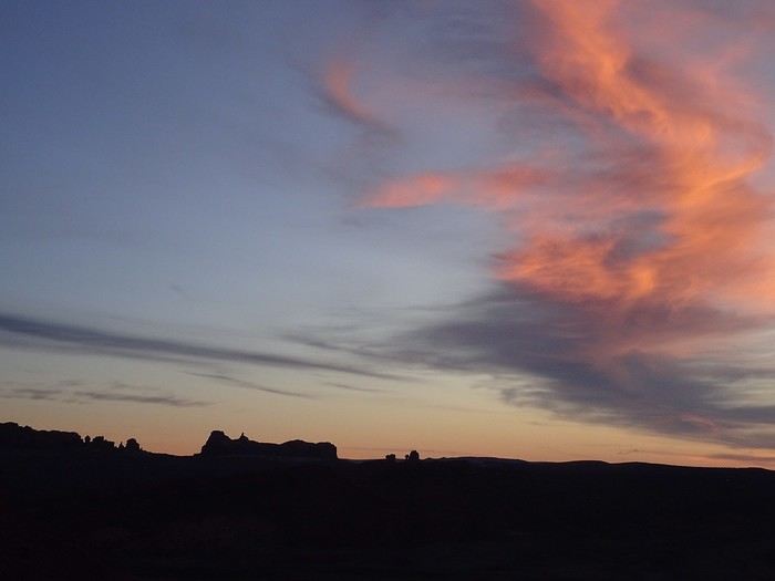
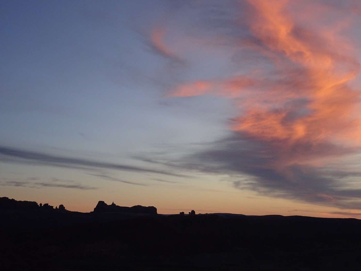
As for where the sun disappeared, a trail of multicolored clouds appears, and the rocks on the horizon stand out like shadow puppets.

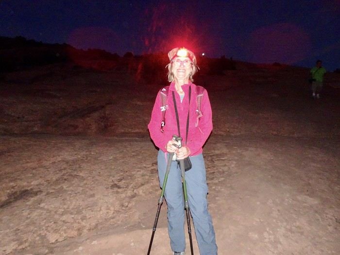
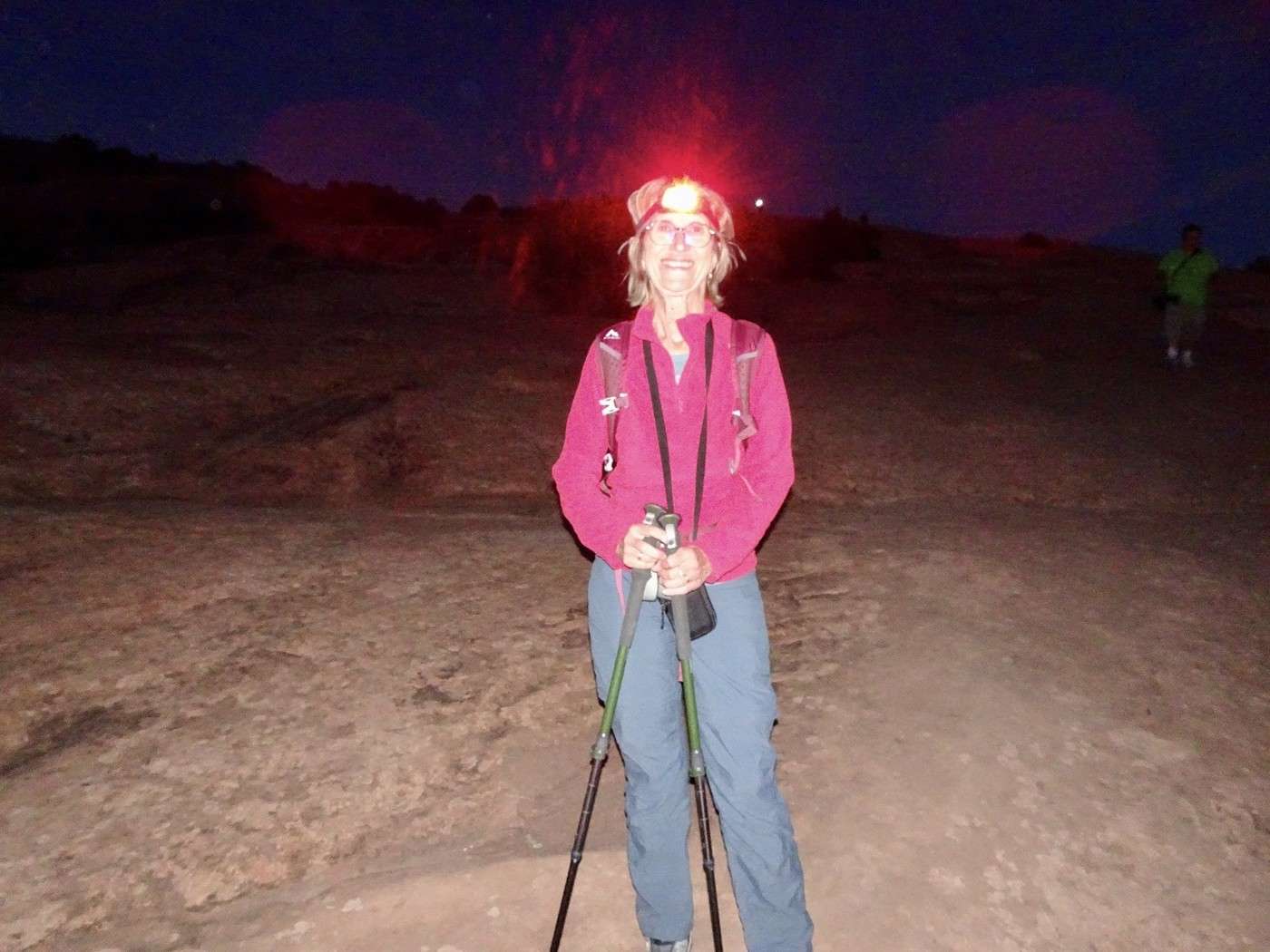
But enough of that—we’ve got to leave the spot; dusk has set in. We’ve got our headlamps, but we still have 2.5 km to descend on sloping rock. After 45 minutes of a somewhat tricky descent, we make it down in the pitch black. A couple of Americans without lights followed in our footsteps, and we were happy to share our glow with them.
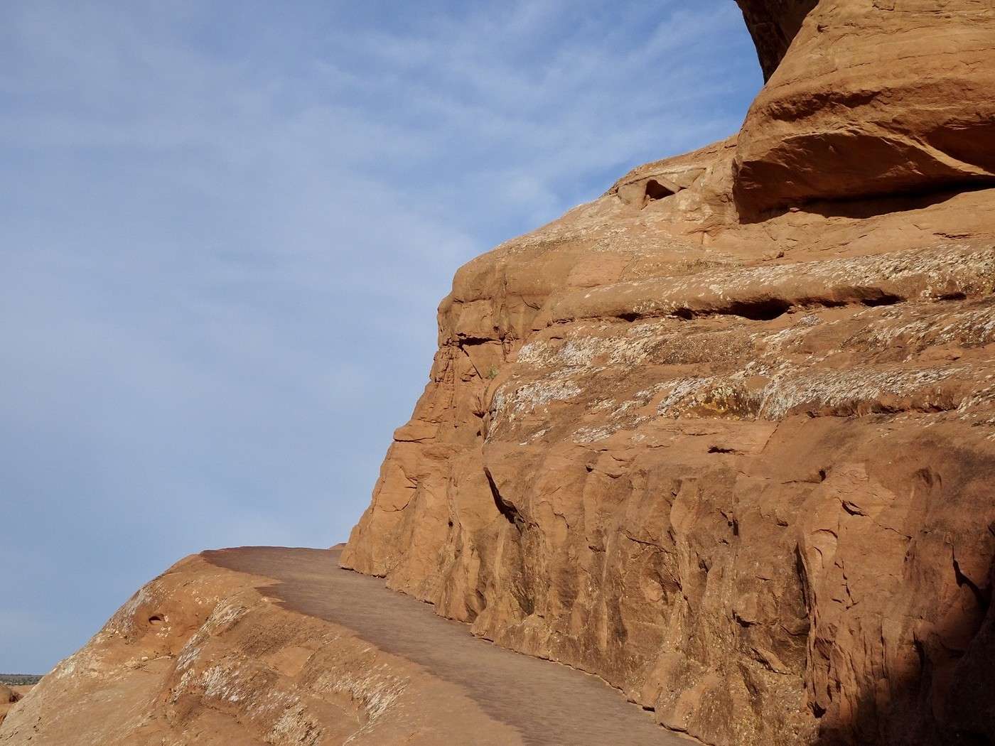
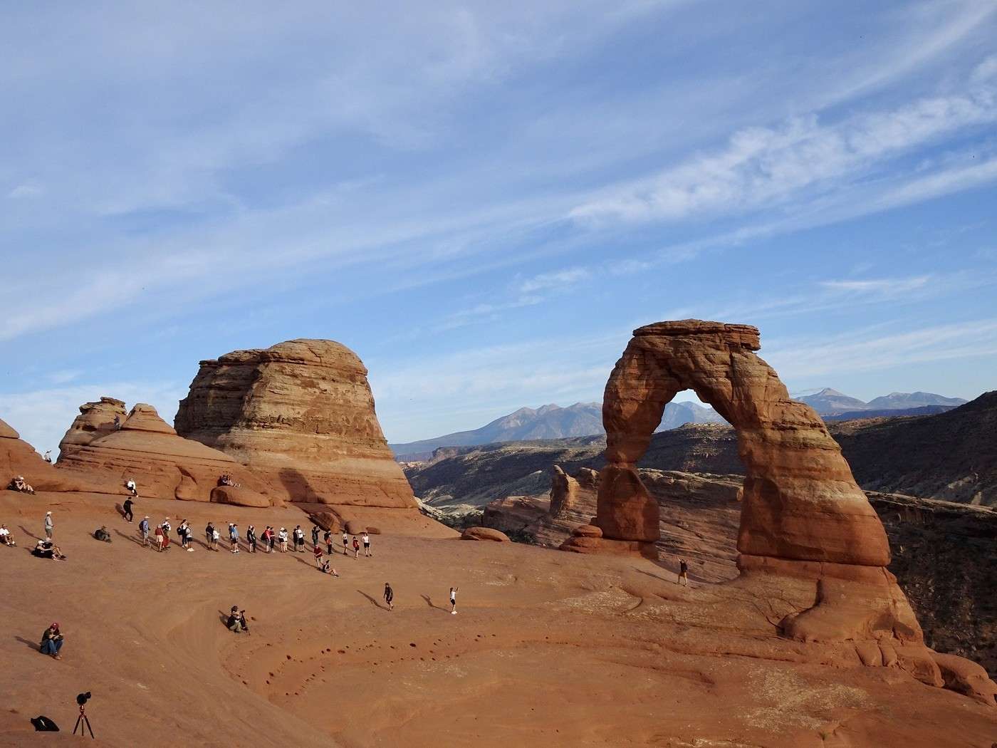
What an amazing day!!! This park is incredible (like all the ones in Utah, for that matter!!!) Tonight, I’ll be dreaming of red rocks and a multicolored sky!! As for tomorrow, it’s a surprise!!! Canyonlands with Island in the Sky or the hike to Fisher Towers—it’ll all depend on the weather and how we’re feeling!!!

Martine and DD in Colorado and Utah

Marcalamar · 2025-01-07 · Message 30 of 60

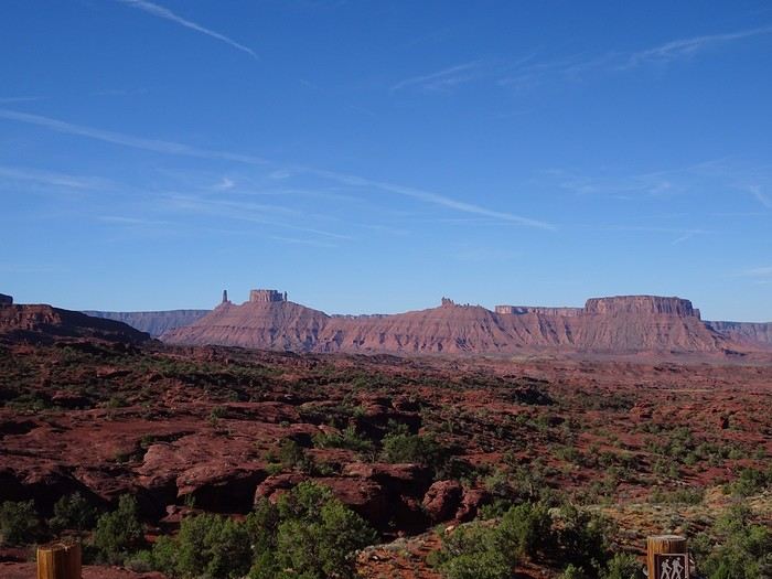
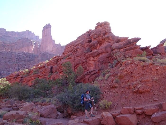
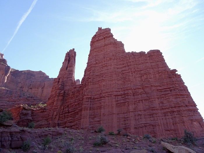
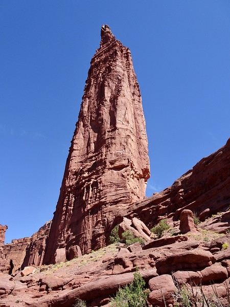
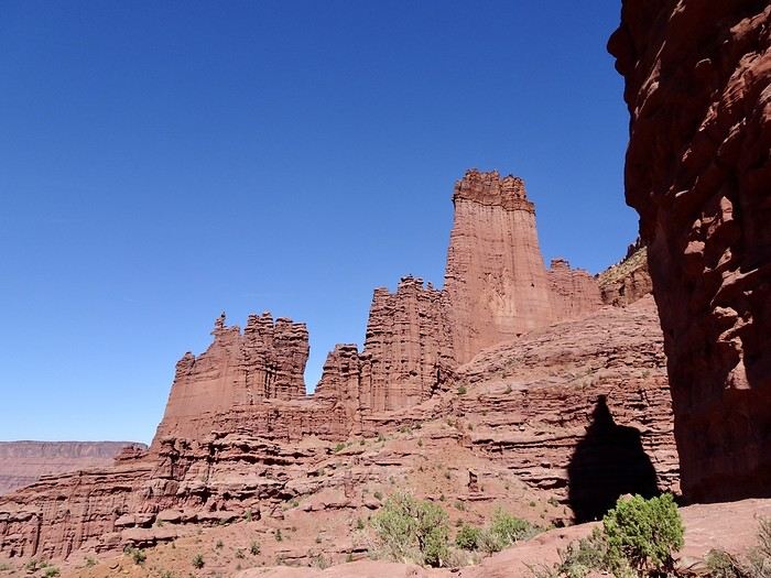
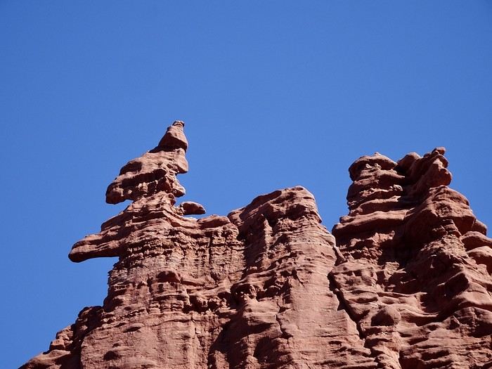
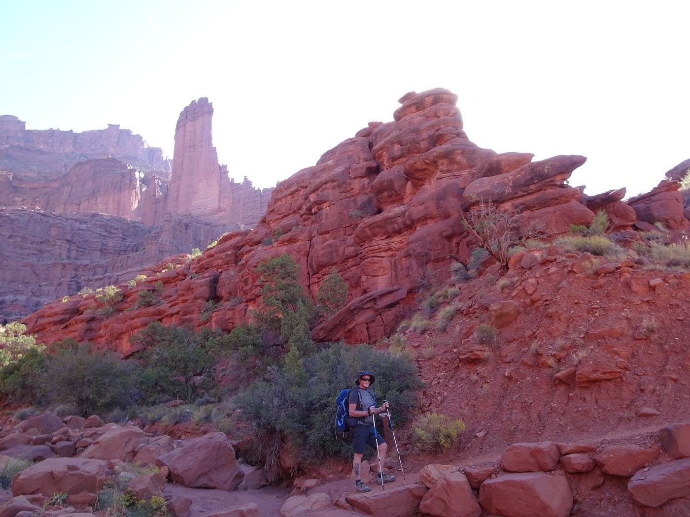
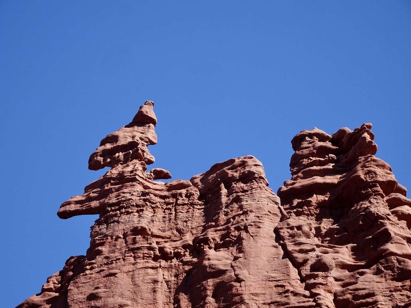
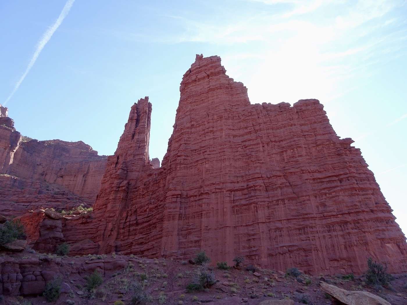
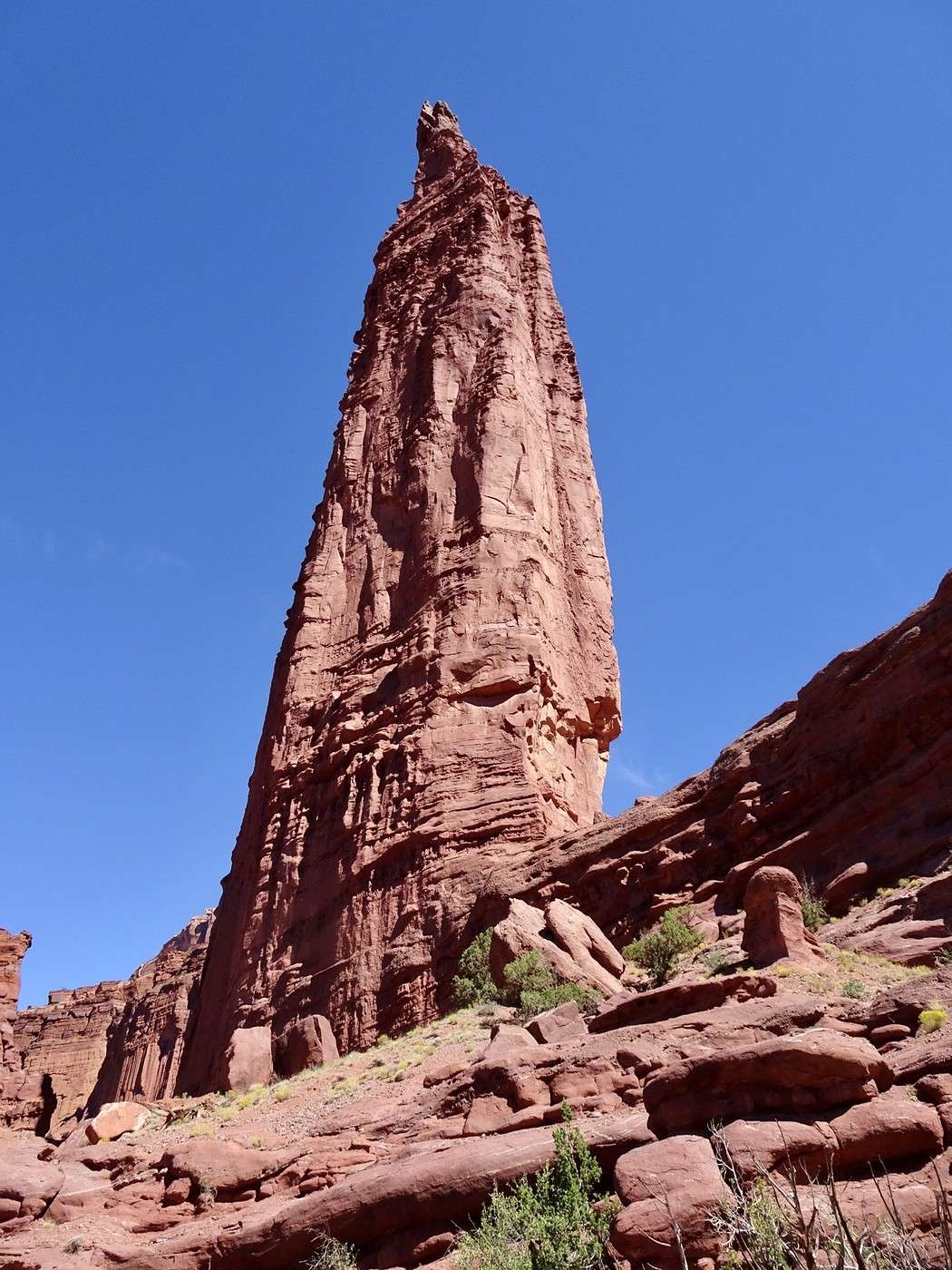
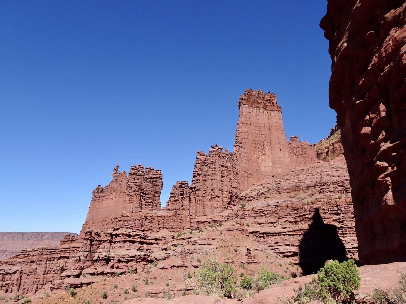
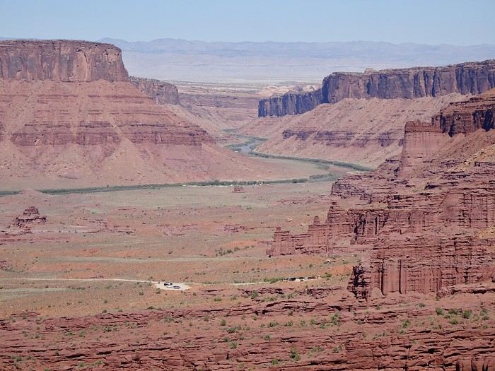
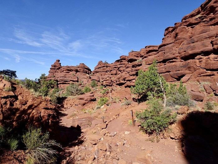
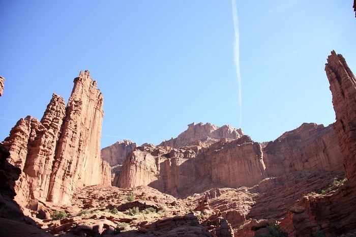
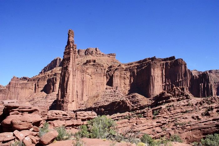
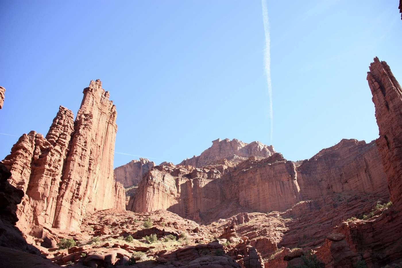
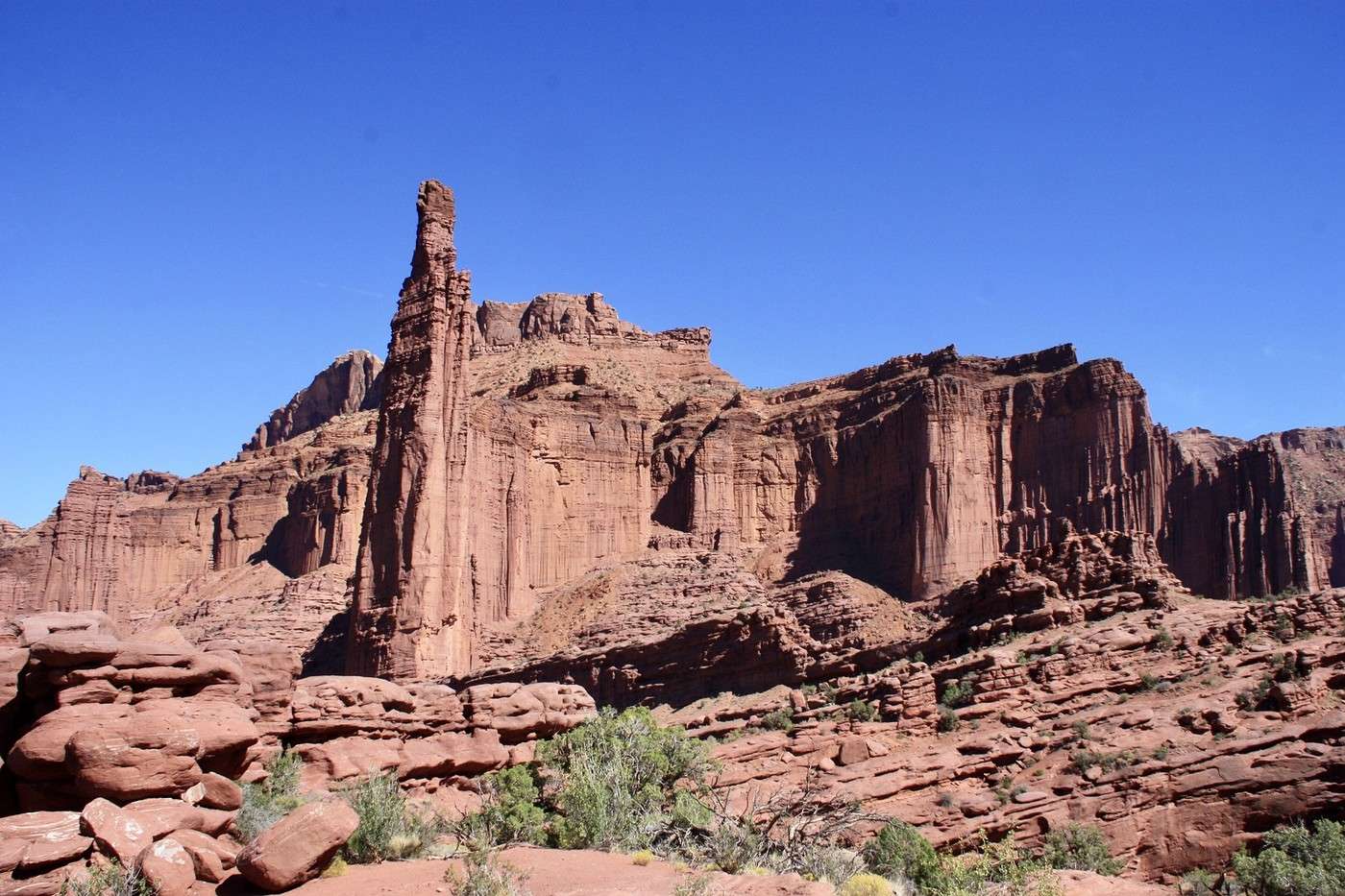
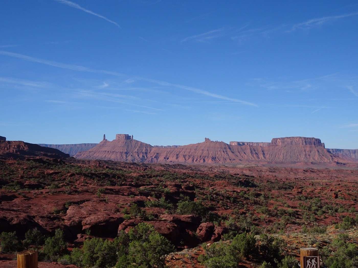
Day 14 – September 24. Moab to Fisher Towers: hike in the Fisher Towers The Fisher Towers are named after a miner who lived near them in the 1880s. The site is unusual—a collection of sandstone monoliths several hundred meters high, shaped by the elements. Each tower has an evocative name (King Fisher, the Titan, Ancient Art, Echo Town, Cottontrail Tower...). If any locals or experts know them well, it’d be great if you could help me identify them!

We wandered around for 4 hours at the base of the towers, sweating and panting, letting our imaginations run wild as we discovered these incredible orange-red gems. But let’s be honest—our fear meter hit zero at times! They’re located about 40 kilometers from Moab.

I’d planned to cross the Sal Mountains and Castle Valley to enjoy the autumn colors, but unfortunately, the road is closed for construction, and no one’s getting through. So, we’ll follow the Colorado River and arrive via the stunning Route 128, with its razor-sharp red cliffs and mesas. A very smooth 3 km track takes us to the foot of the Fisher Towers.

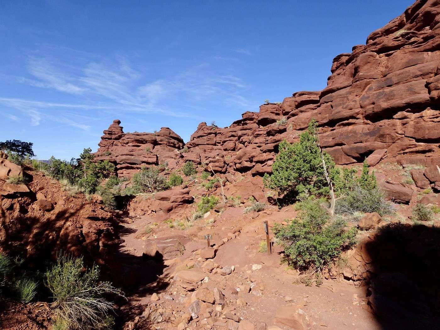
Starting relatively early (at 9:50 AM), we lucked out—most of the paths were in the shade of the towers, which we really appreciated given the elevation gain (1,430 m to 1,653 m).

Castle Valley with The Priest, The Nun, and The Rectory.

We really enjoyed the shade.


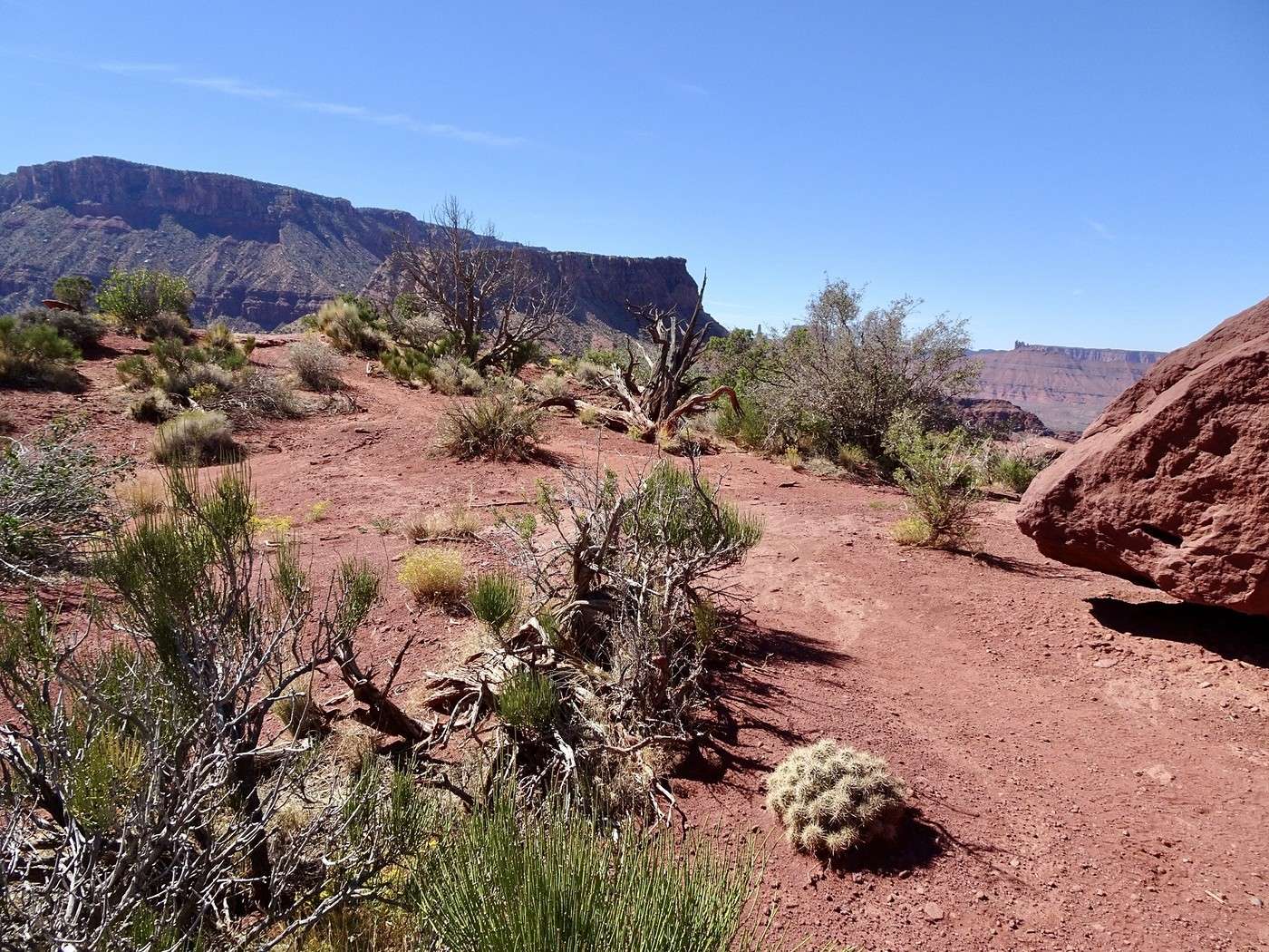
At the top, we found a bit of blooming vegetation.
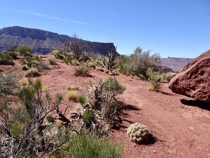
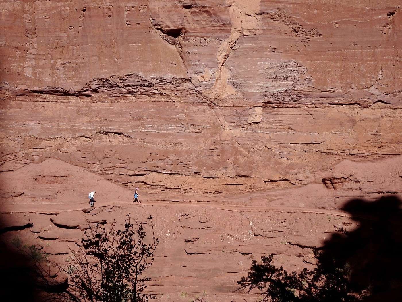
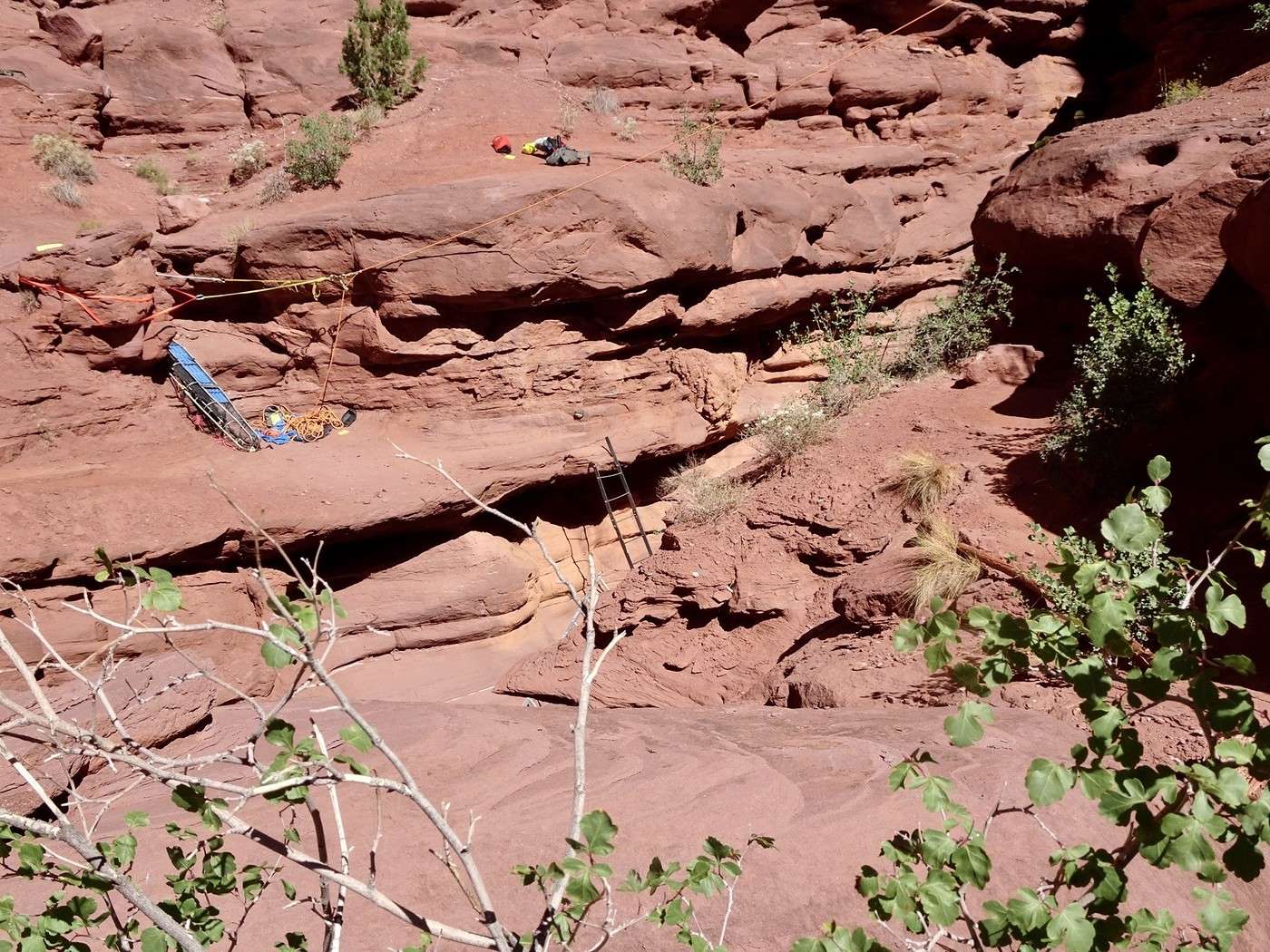
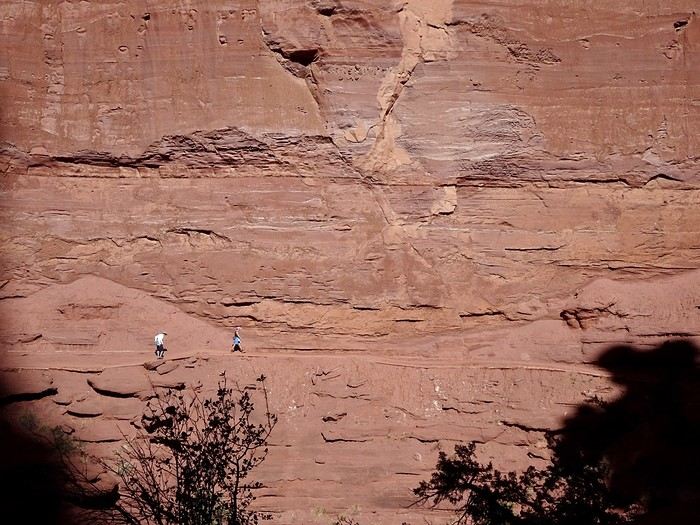
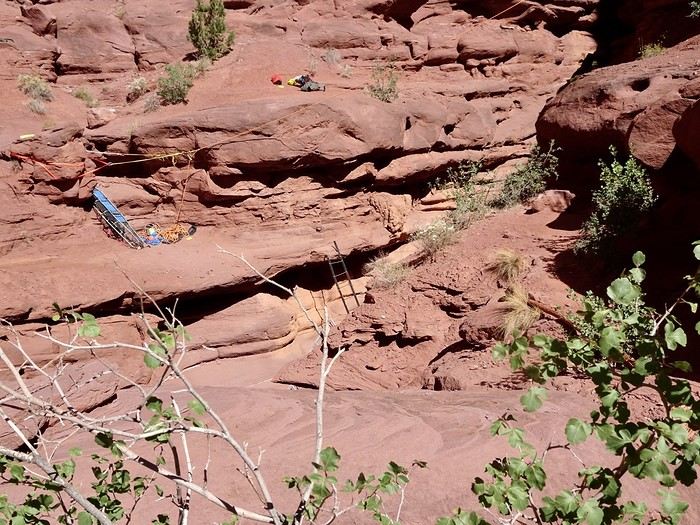
By 1:50 PM, we were back at the parking lot, having walked just over 9 km. Even though it’s stunning and playful with its spires, steep canyons, and its "witch," we found this hike pretty tough, even though it’s rated as moderate. There’s only a 200 m elevation gain between the start and the end of the trail, but it’s a series of ups and downs on slickrock, with some dirt or rocky paths, several narrow ledges with dizzying drop-offs, and even a small ladder to climb to reach the next rock, which you’ll have to scramble up to get back on the trail.
Martine and DD in Colorado and Utah

Marcalamar · 2025-01-07 · Message 31 of 60

Hiking Fisher Towers (continued)

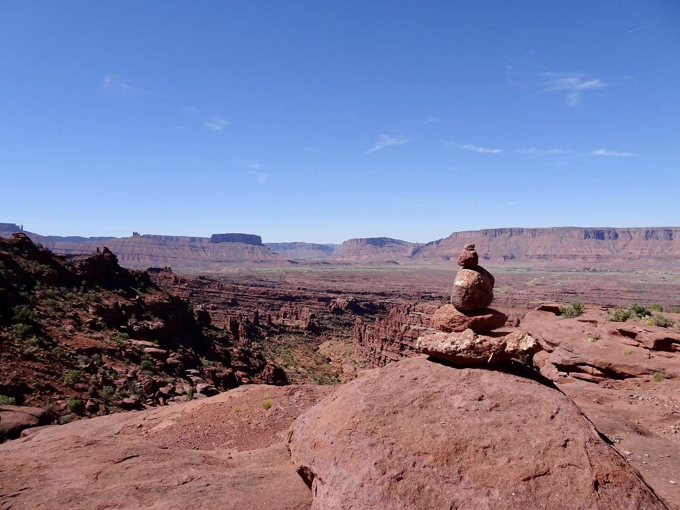
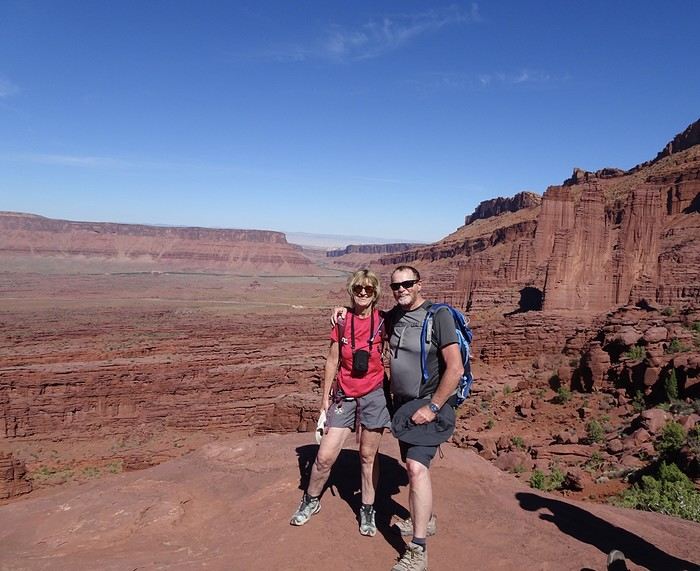
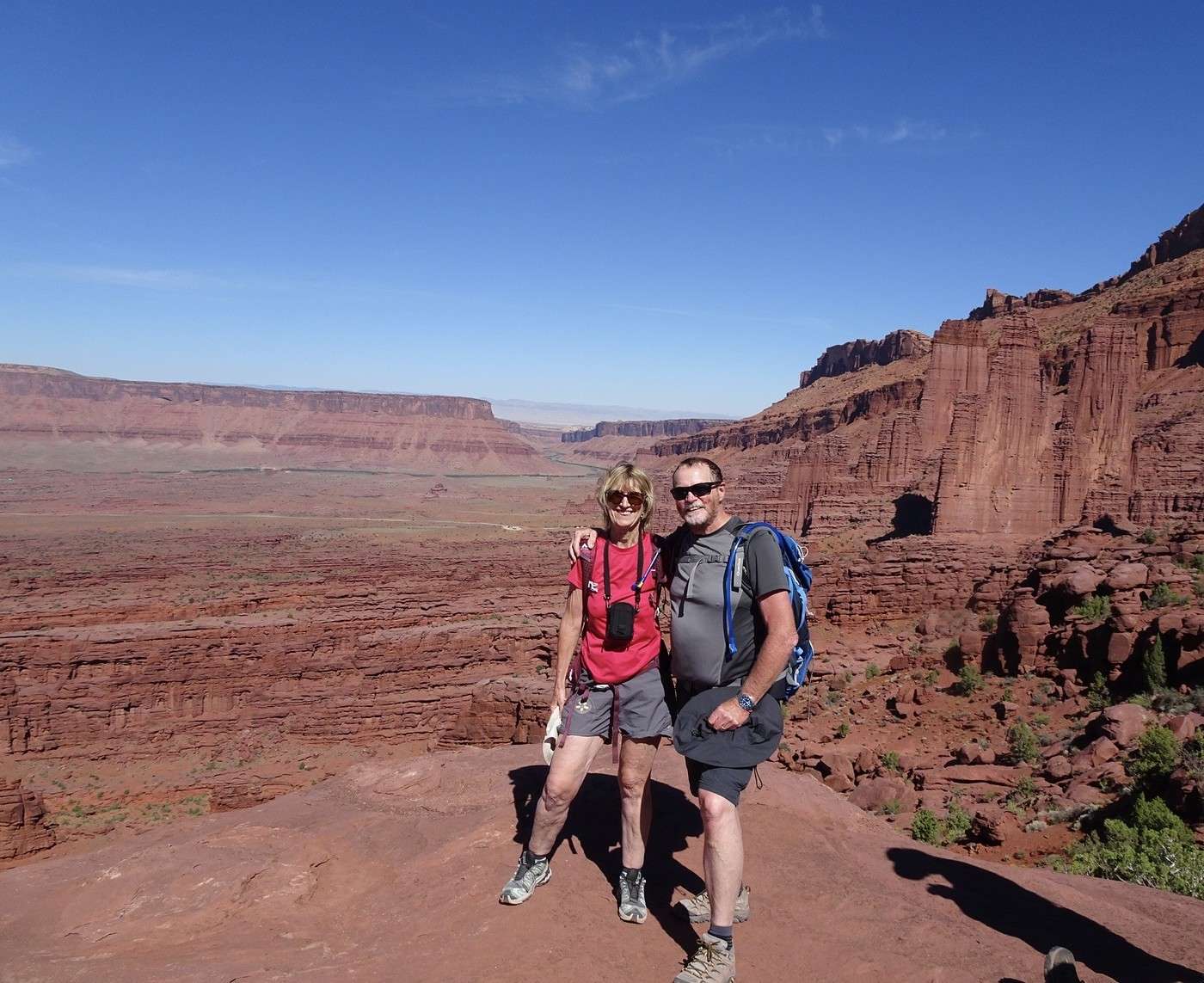
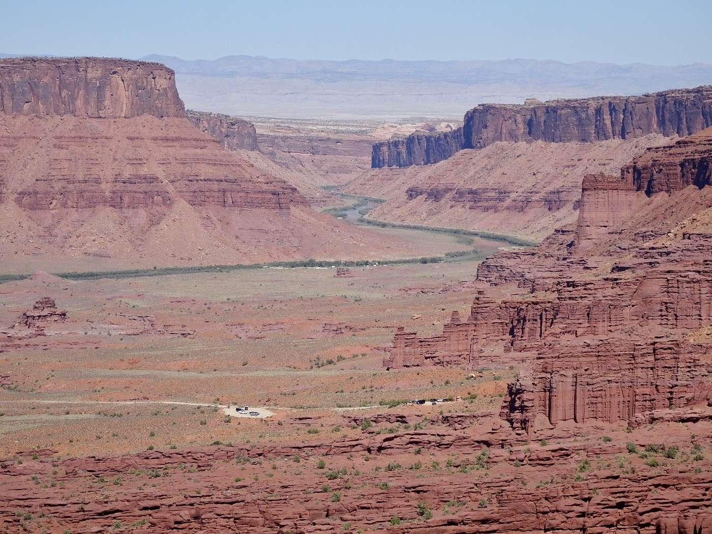
On the other hand, the view at the end is worth every bit of the effort when you take in the full sight of the towers, the meanders of the Colorado River, and Castle Valley.


Back the same way

,

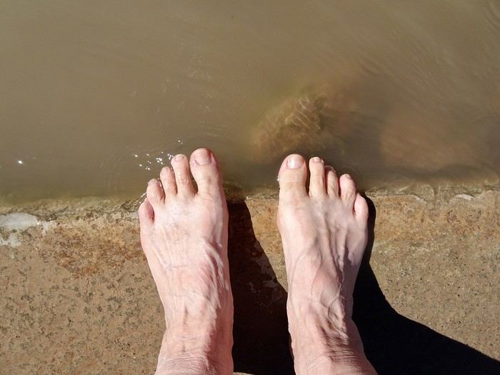
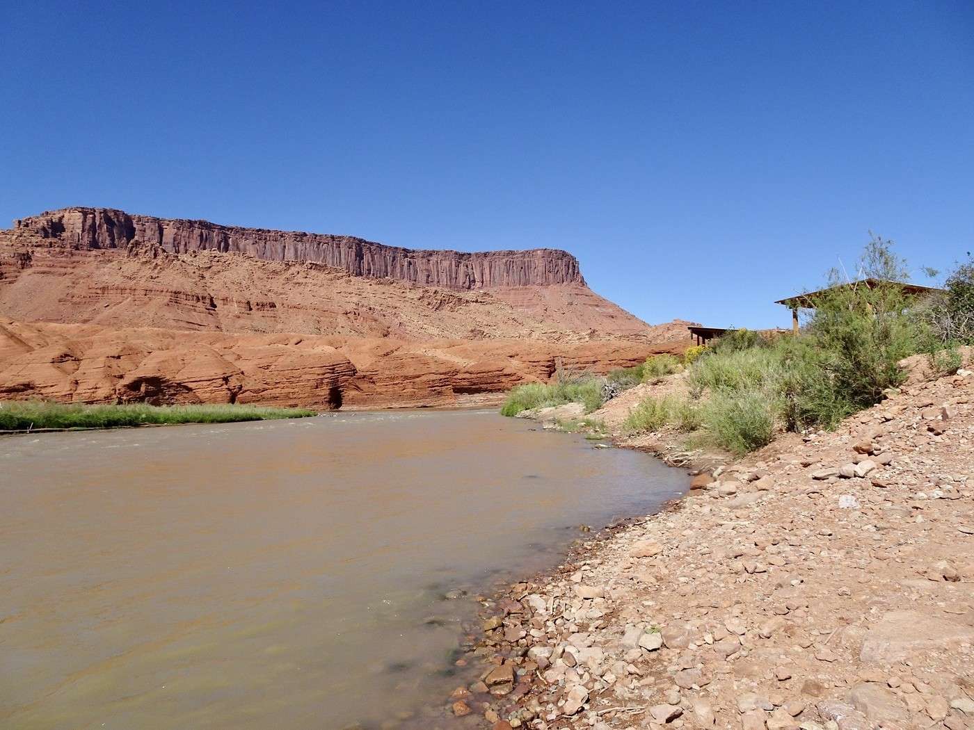
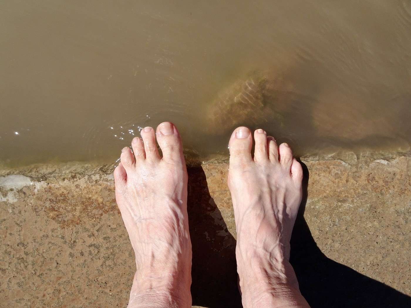
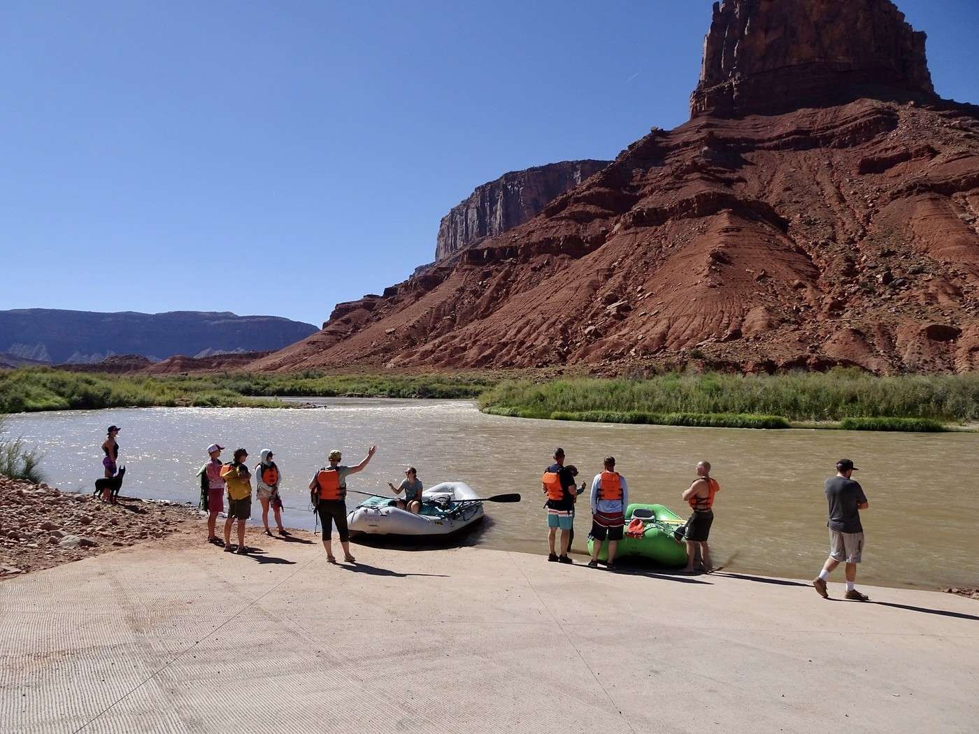
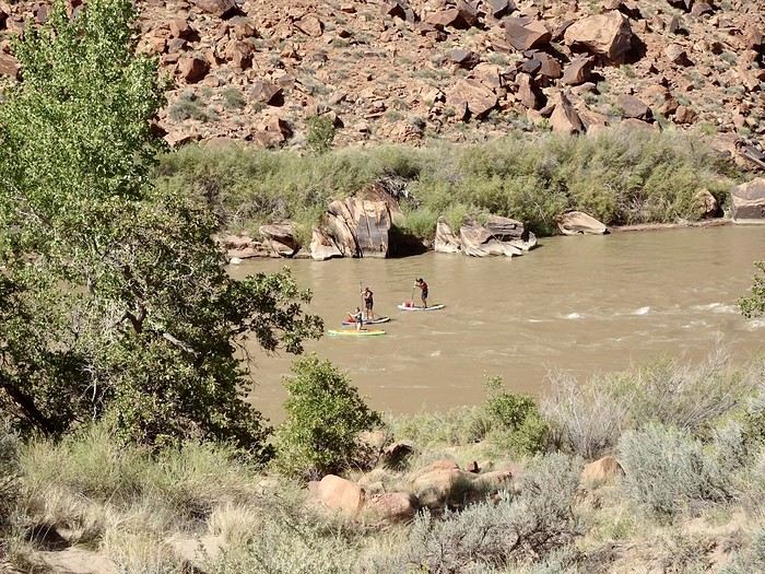
with just as much delight and 30°C, almost entirely downhill—it was still a bit easier despite the blazing sun and the need to watch your step on the loose rock on the way down. A quick stop in the warm waters of the Colorado to say: “I dipped my toes in!”
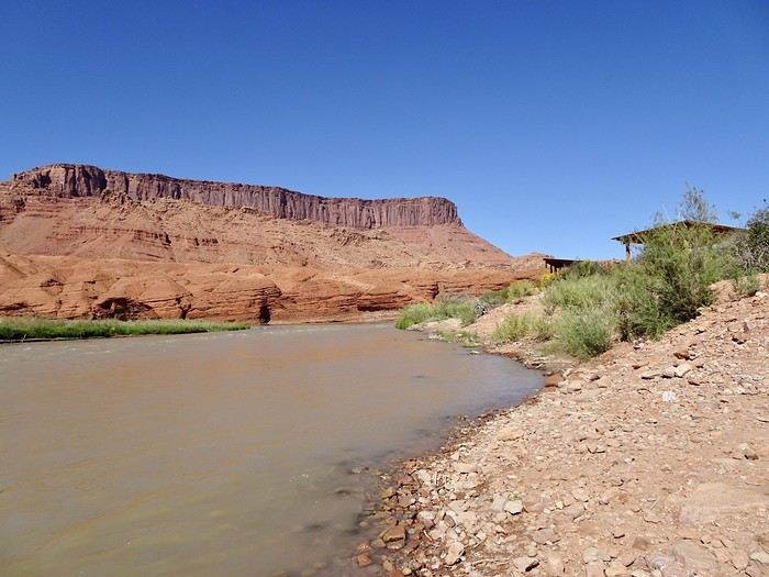


at one of the spots where the rafts put in
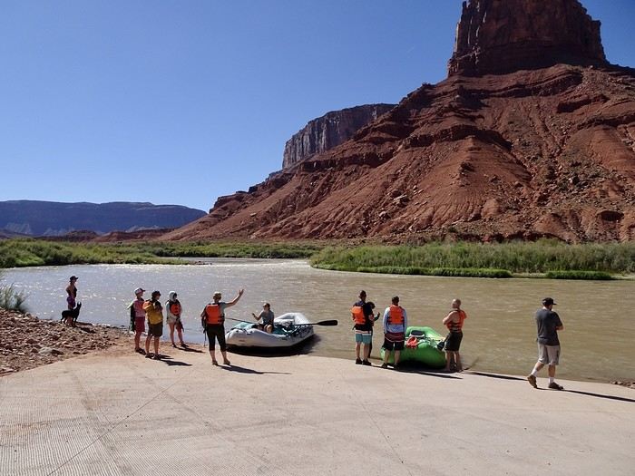
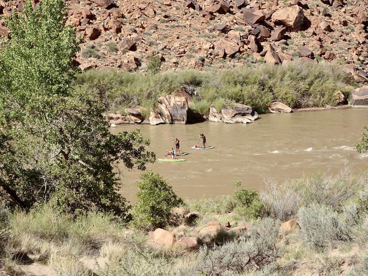
Some people even paddleboard on the river
After such a great day, we really enjoyed a little relaxation time at the hotel pool.

Dinner at Moab Brewery—excellent as always for $56 for two meals, one soda, and a beer. Tonight, I’ll be dreaming of gargoyles, witches, and fantastical creatures. And tomorrow, the hiking boots stay in the car—we’ll just do a few short walks in sneakers at Island in the Sky.

Martine and DD in Colorado and Utah

Marcalamar · 2025-01-07 · Message 32 of 60

Day 15, September 25: Visit to Canyonlands (Island in the Sky) and Dead Horse Point

I tried to remember the names of the viewpoints. Impossible to name some, and for the others, I might have gotten them wrong 😅

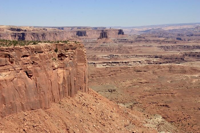
Canyonlands Park spans nearly 900 square kilometers. It’s divided into three sectors far from each other. The Maze (the labyrinth), which you can only visit by 4x4, is the wildest part. Then there’s The Needles, where we did half our hike a few days ago, and finally Island in the Sky—a vast plateau between two rivers, the Colorado and the Green River, where you can see canyons and cliffs, each more incredible than the last. It’s the easiest to visit, just by following the scenic drive and stopping to enjoy the views from one viewpoint to the next. Like getting to The Needles, the road to the entrance is long (about fifty kilometers from Moab). We were lucky—we only waited about ten minutes to show our America the Beautiful pass to the ranger at the park entrance, but a sign saying “1-hour wait from this point” suggests that at certain times, the line of cars must be impressive.

9:15 AM departure from Moab with a chilly 17°C, but we know it’ll warm up during the day. As soon as we leave the highway, we see some high cliffs like in Arches Park, but in ochre, and the road quickly winds again between grassy prairies and groves. A quick stop at the ranger station, and we’re on the stunning scenic drive. We’ve gone from 1,200 meters in Moab to 1,800 meters. We skip the road to the right toward Upheaval Dome, which doesn’t have many viewpoints and is mostly interesting for hikers (for us, it’s a rest day today), and the one to Mesa Arch, whose parking lot is packed (we saw it in 2017), heading straight to Grand View Point instead.

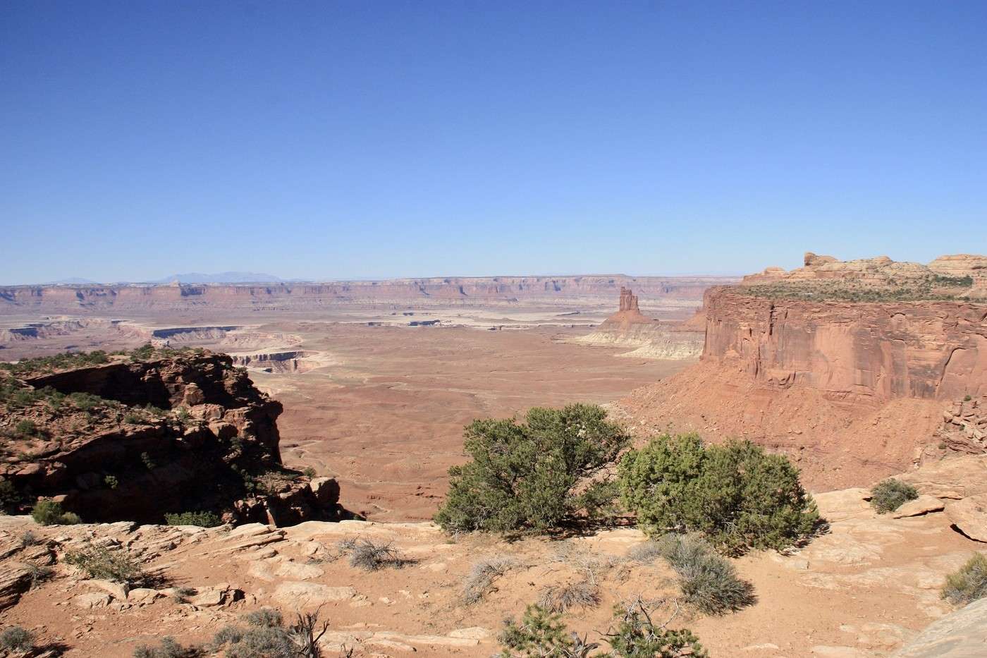
Candelstick Tower,

Buck Canyon

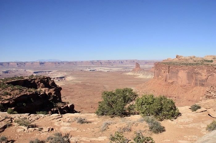
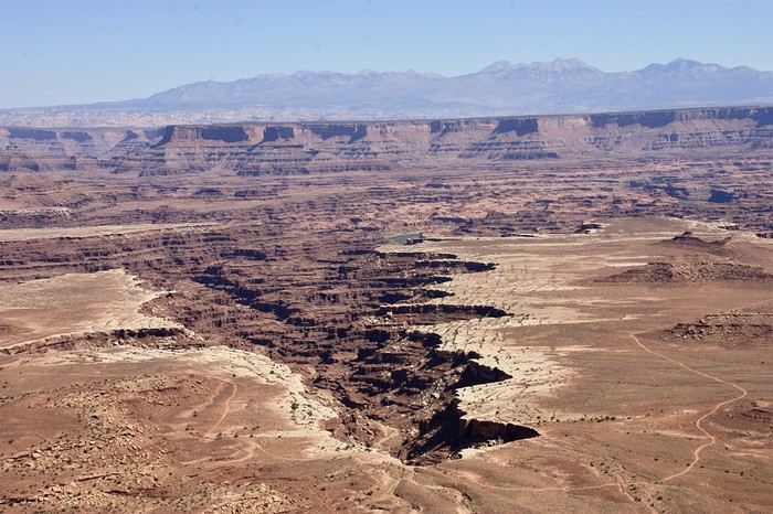
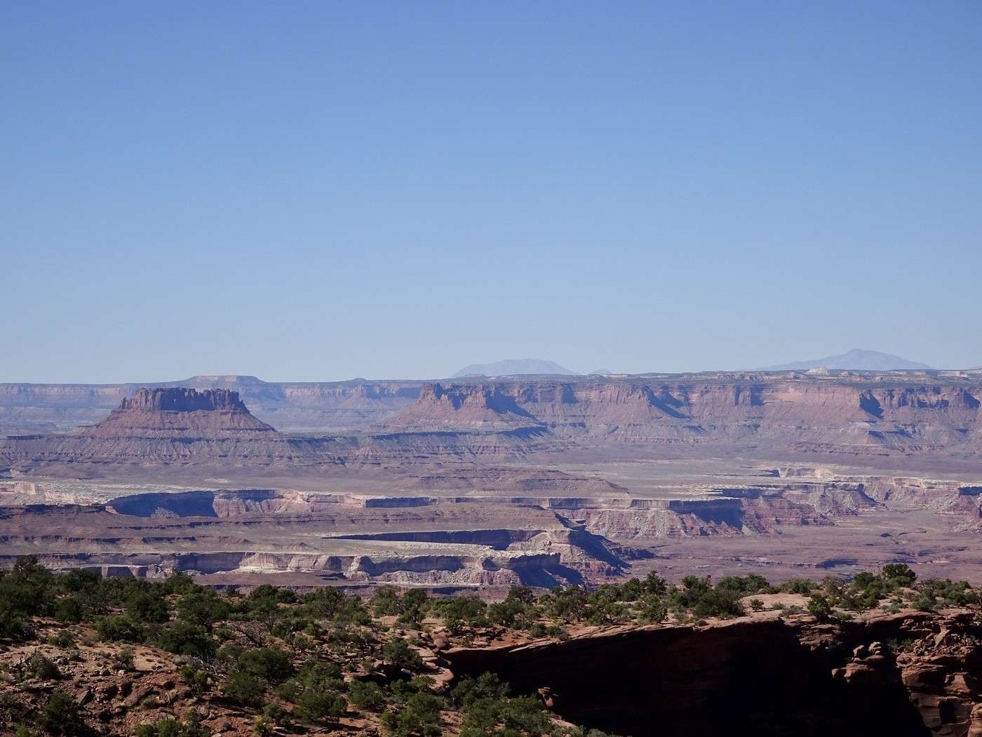
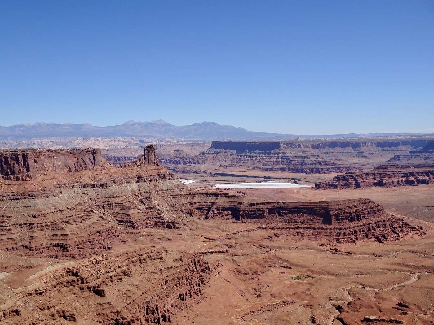
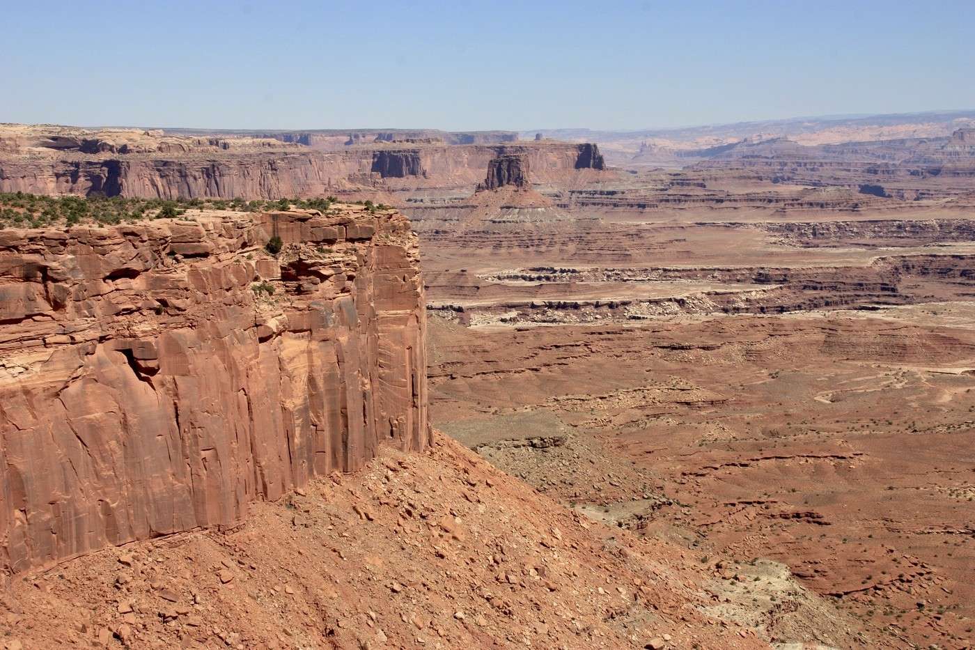
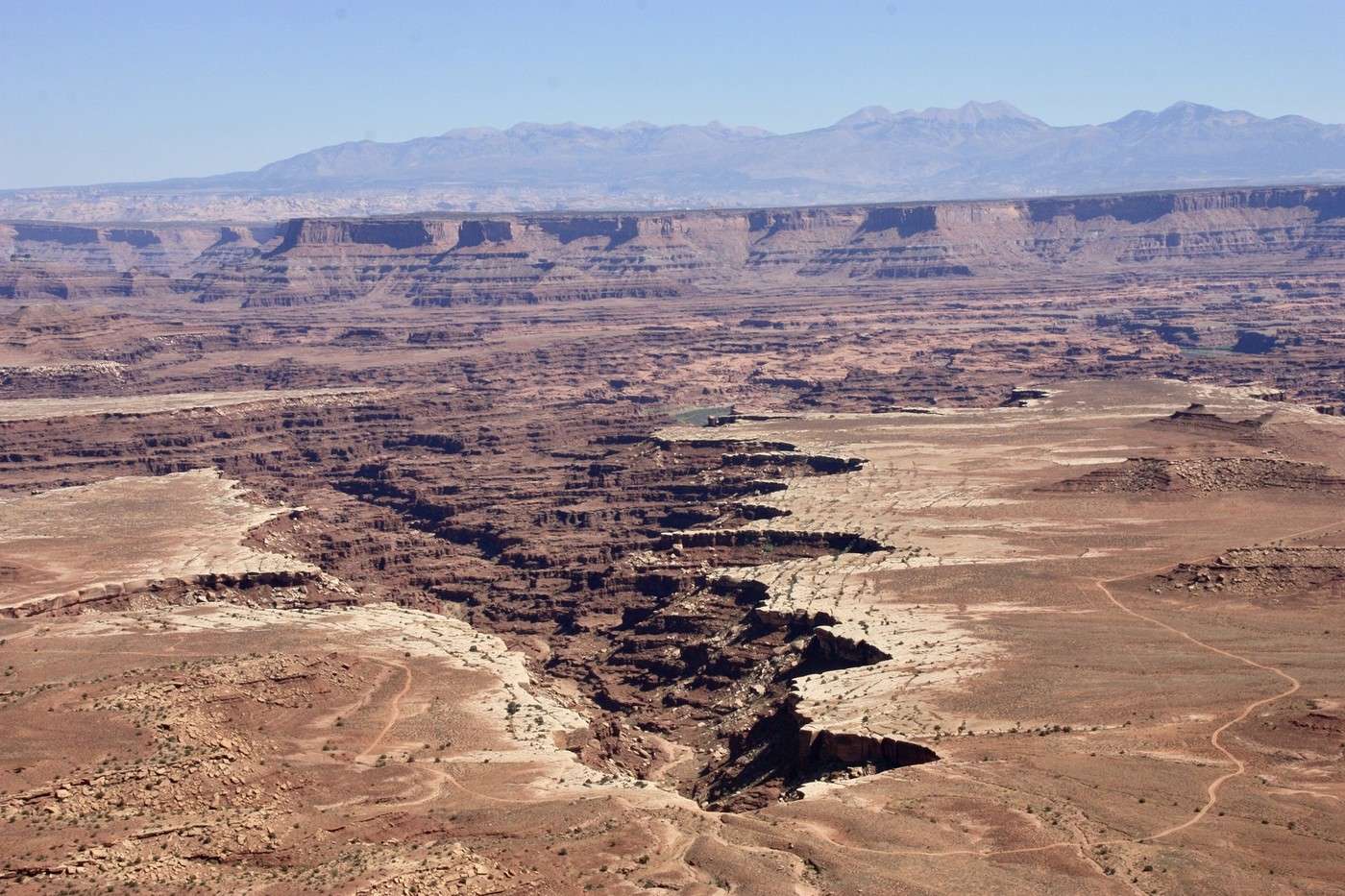
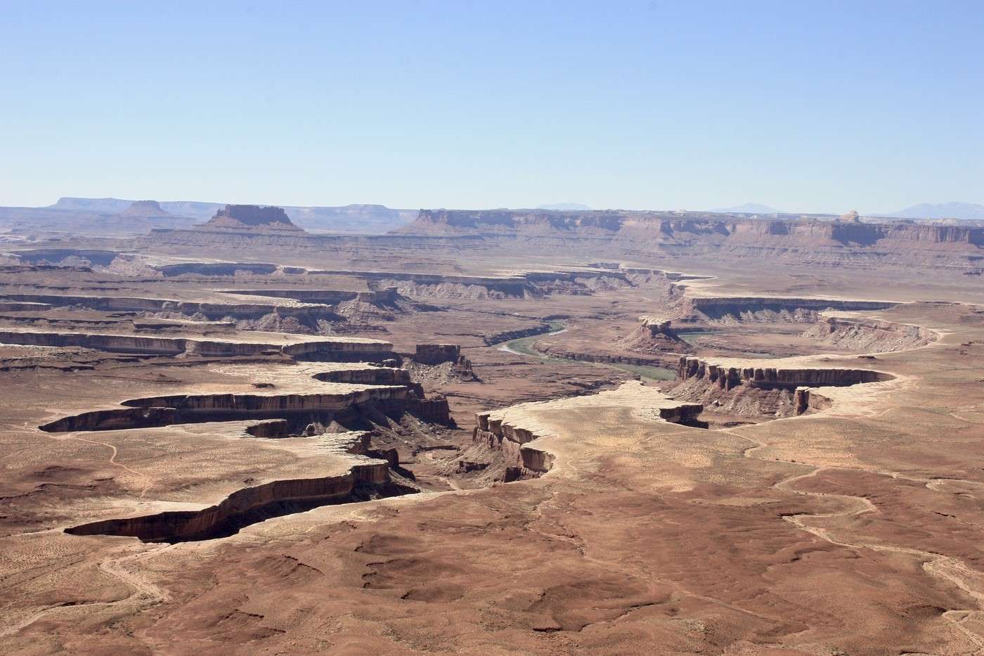
Orange Cliff? These viewpoints, with such evocative names, offer views as far as the eye can see—mesas, canyons, and buttes eroded by the Green River.
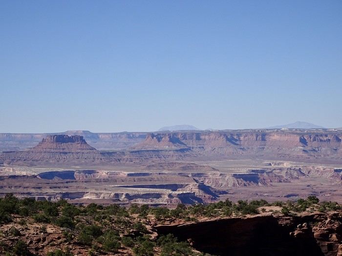
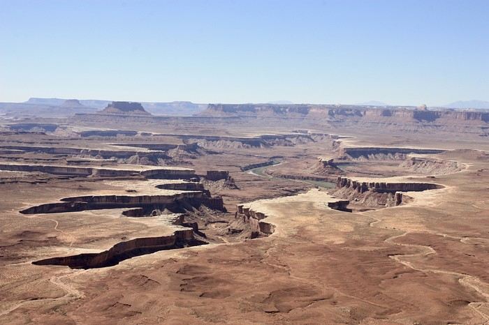
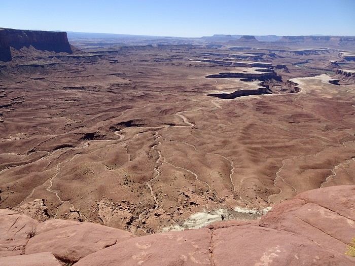
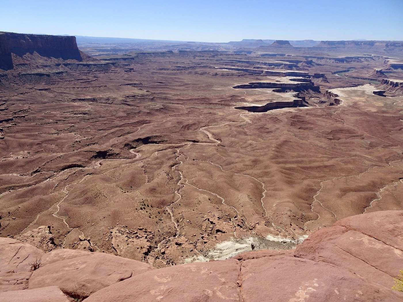
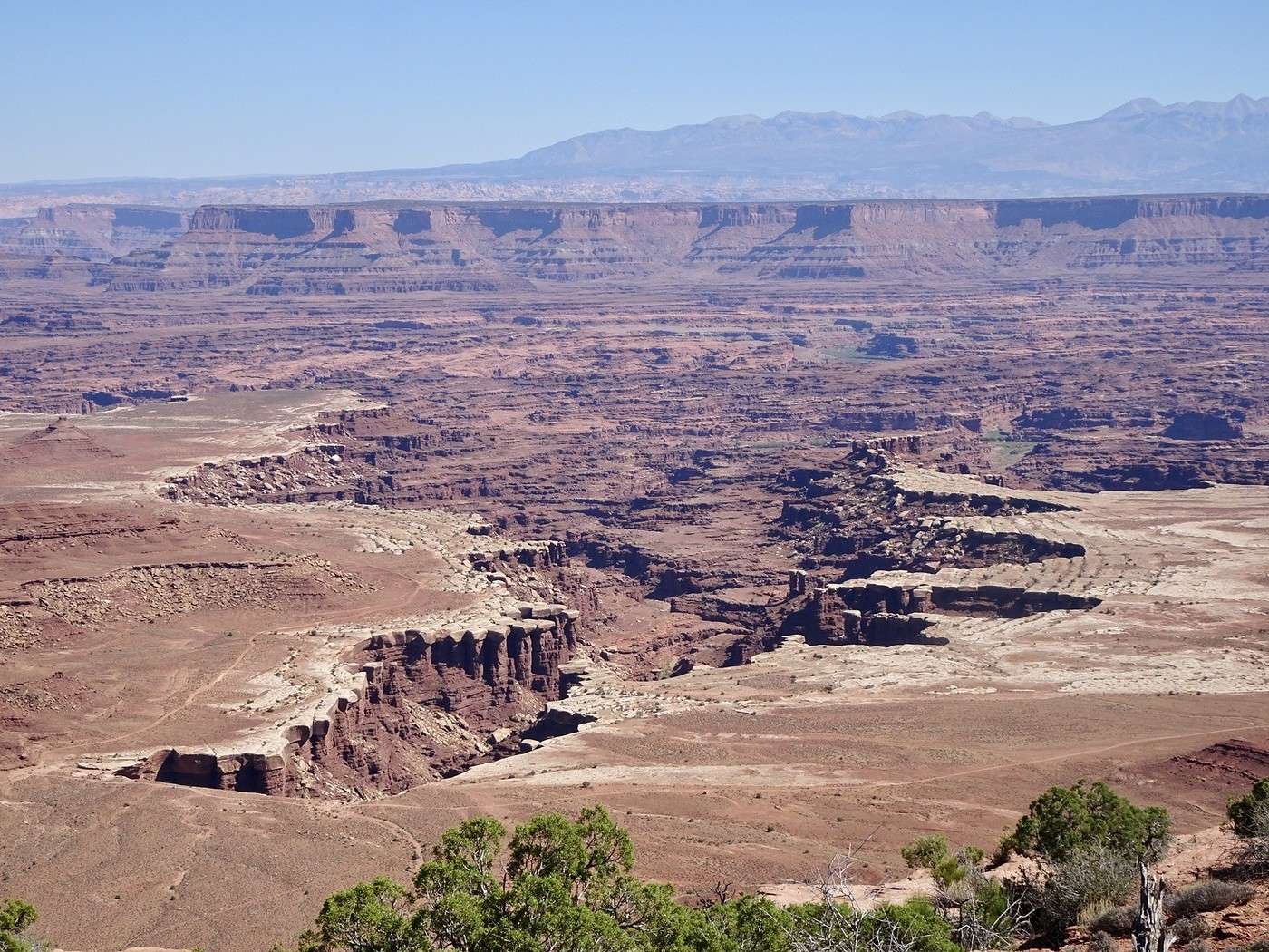
Green River Overlook

We never get tired of it. We’d planned a short, easy, flat walk to Grand View Overlook, but unfortunately, the road is closed and off-limits to hikers, cars, and bikes due to construction. We continue to White Rim Overlook.
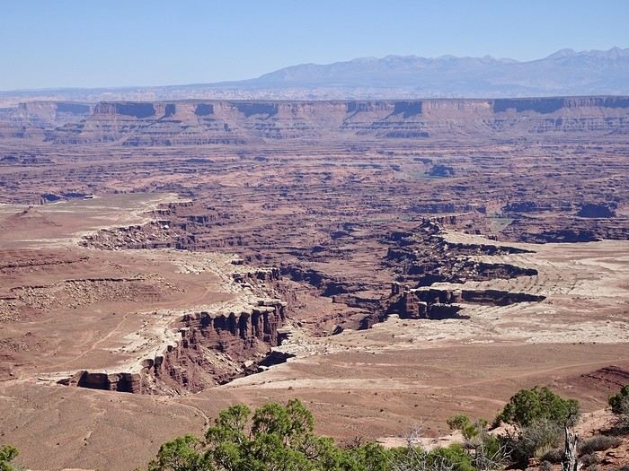
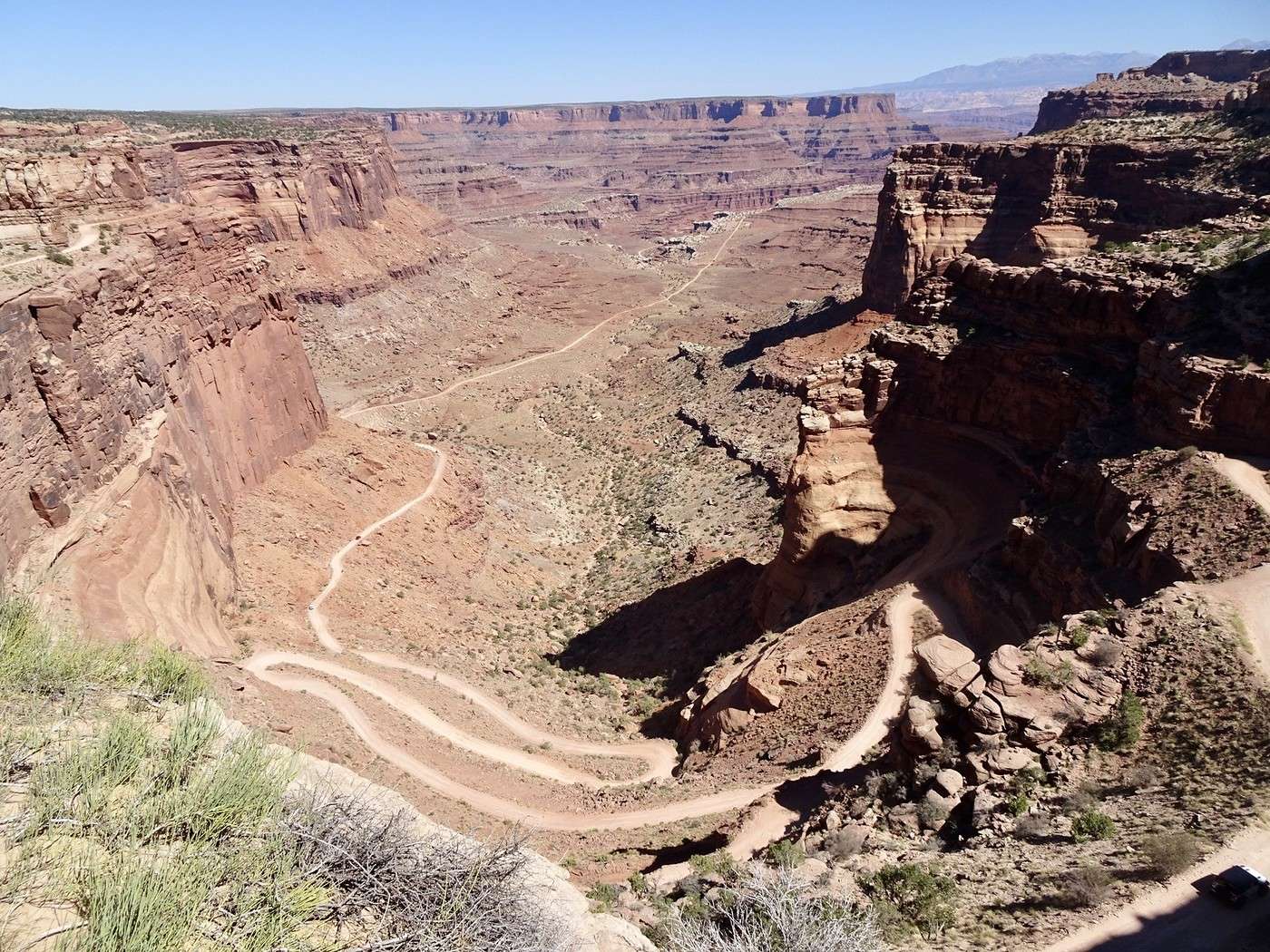
We walk a little on the promontory, take a few photos, and head back to the car. I pull out my road book—ugh, that’s where I’d planned my second short walk! I think it was a subconscious act. If I tell DD we have to go back and hike there, he’ll leave me by the side of the road! Oh well, no walk for me—I won’t even suggest it! It’s been two weeks of him driving alone, plus the more challenging hikes I’ve planned. We take a few more photos at the spectacular Green River Overlook. Our last stop is Shafer Canyon Overlook to see the brave (or crazy—you decide) 4x4 drivers tackling Shafer (or Potash) Road and its hairpin turns.
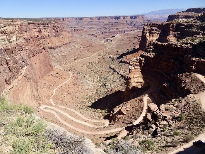
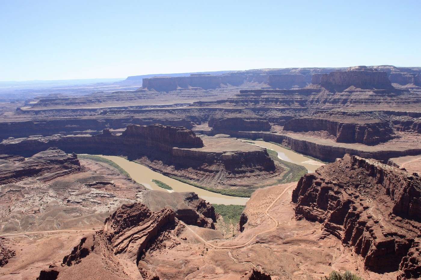
This trail descends 457 meters through a sandstone cliff. Previously used by Native Americans, shepherds, and trucks transporting uranium to Moab, it’s now a 30-kilometer playground for thrill-seeking 4x4 enthusiasts through breathtaking landscapes. To end the day on a high note, we visit Dead Horse Point. This small park isn’t part of Canyonlands—it’s a state park, and you have to pay $20 to enter. There are hiking trails, but the highlight is the overlook, where you can see the Colorado River winding between pinnacles and buttes 600 meters below.
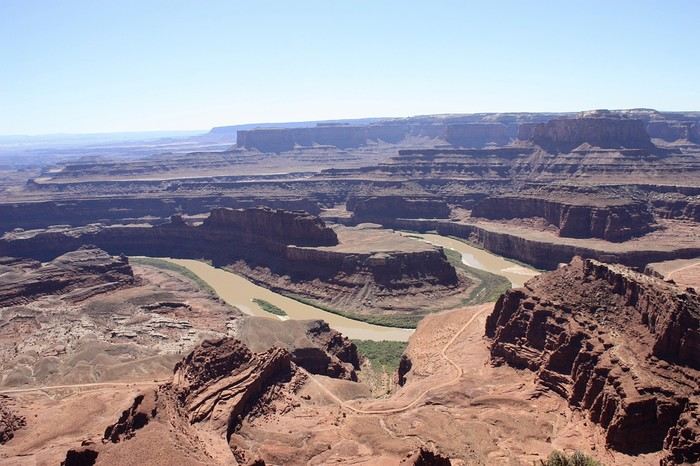
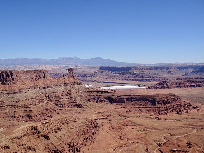

The view is supposedly fantastic at sunset, but even in the early afternoon, it’s well worth the $20 entry fee. The stop at the visitor center is interesting (small museum and views of the potash basins).

It’s almost 3 PM, and we’ve filled our eyes with beauty. Moab is 47 kilometers away! We’ll even have time to rest a bit before dinner. We had a great meal at Pasta Jay’s in downtown Moab. Tomorrow, we leave Utah and its mild temperatures (still 30°C in the late afternoon) for Colorado.
Martine and DD in Colorado and Utah

Peggy16 · 2025-01-08 · Message 33 of 60

Hi Martine,

Of course I’m still following you! Thanks for bringing back such great memories...

Moab and the surrounding area—even after spending 12 nights there over several trips, we’re still amazed and will definitely go back someday 😉 You’ve made me want to return to Fisher Towers, which we only briefly explored in 2014 when the kids were little. I realize now we barely scratched the surface, and it looks like a really fantastic hike—but one to plan for an April trip rather than summer... In July 2023, there’s no way we could’ve done it, with daytime temps between 104°F and 108°F.

Last stop at Shafer Canyon OVL to watch the brave (or the crazy—I’ll let you decide) in 4x4s taking on Shafer (or Potash) Road and its switchbacks

Actually, the descent isn’t that scary... except maybe when you pass another vehicle 😉 Though, I wasn’t the one driving, so !

Martine and DD in Colorado and Utah

Marcalamar · 2025-01-08 · Message 34 of 60

Hi Peggy 🙂 Wow, Moab—we’ve spent 9 days there over several trips, and we still love staying there just as much! We adored Corona Arch, almost as much as Delicate Arch. As for Fisher Towers in September 2023, I’d read somewhere that there was a short photo trail (which we never actually found, by the way) right at the start of the hike. We set off like reckless tourists—no water, no trekking poles, in sandals and sneakers—and started climbing! A little further, a little further, a little further, more and more amazed! Then, finally, common sense kicked in, and we turned back after about an hour of scrambling. We were so disappointed to have to descend, but we promised ourselves we’d come back to finish the trail! It’s honestly really beautiful!

Martine and DD in Colorado and Utah

Marcalamar · 2025-01-08 · Message 35 of 60

Day 16. September 26. Moab - Fruita (UT 128 then Colorado National Monument)

Super 8 by Wyndham: 98 € with breakfast, large room with fridge and microwave. Even though the hotel is in the middle of a commercial area (hotels, restaurants), it’s quiet and close to one of the entrances to the Colorado National Monument.

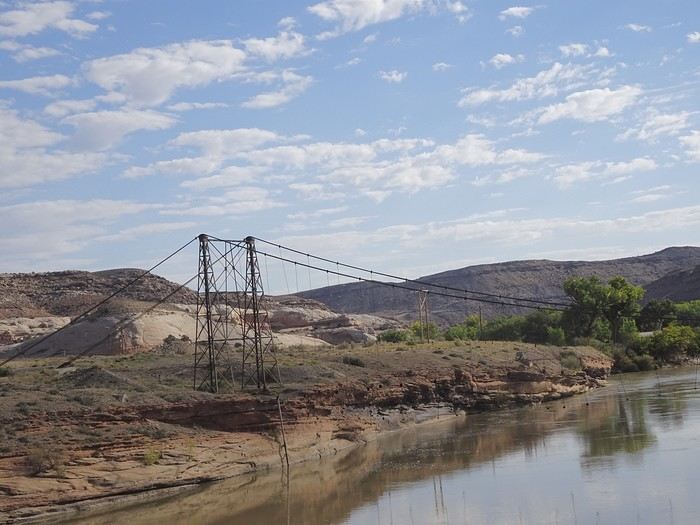
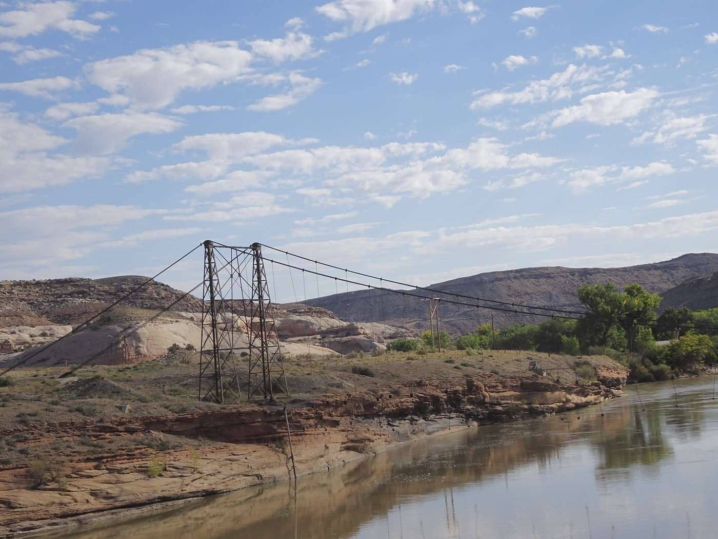
Moab to Fruita Departure at 8:33 AM. We take the scenic Route 128 again, with its cliffs and little campgrounds along the Colorado River. The sun and shadows play on the rocks and the river—Utah is stunning. I soak in these red rocks. I’ll enjoy them again soon when visiting the Colorado National Monument, but soon it’ll be back to the mountains and the golden aspens. A last glance at the Fisher Towers, still in the shade. Quick stop at the gorgeous Red Cliff Lodge with the intention of visiting the movie museum. Despite explanations from three people, we couldn’t find the museum entrance (ugh!!! I should’ve worked harder on my English in school!!!). No big deal, DD wasn’t too keen on it anyway, so we moved on! We’ll spend our time differently! After passing the wide pastures of the ranches, the road narrows again between the high cliffs until the Dewey Suspension Bridge, Utah’s first suspension bridge, built in 1916 and spanning the Colorado River—but unfortunately destroyed by a fire in 2008.

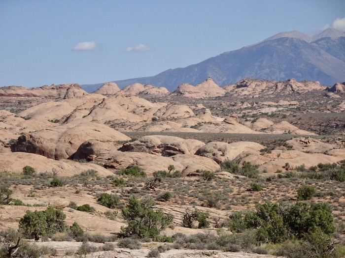
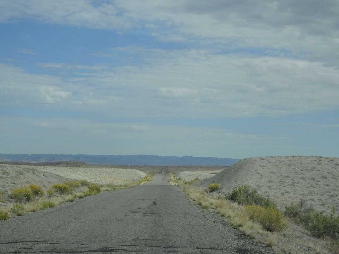
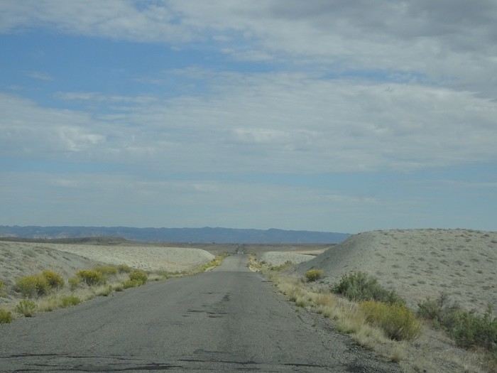
After the bridge, white rocks and prairies return, followed by a dull, pale desert plain with rock formations that look like petrified dunes.
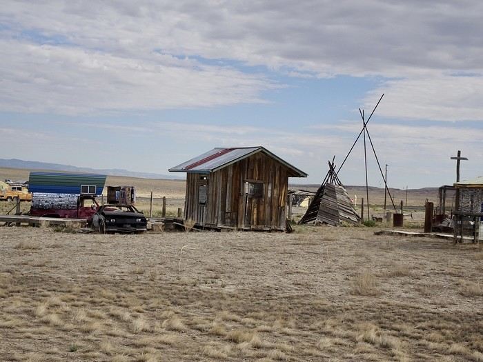
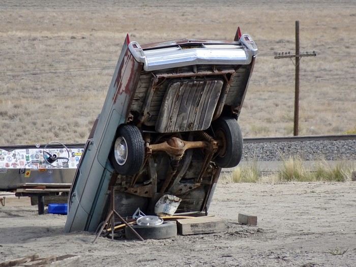
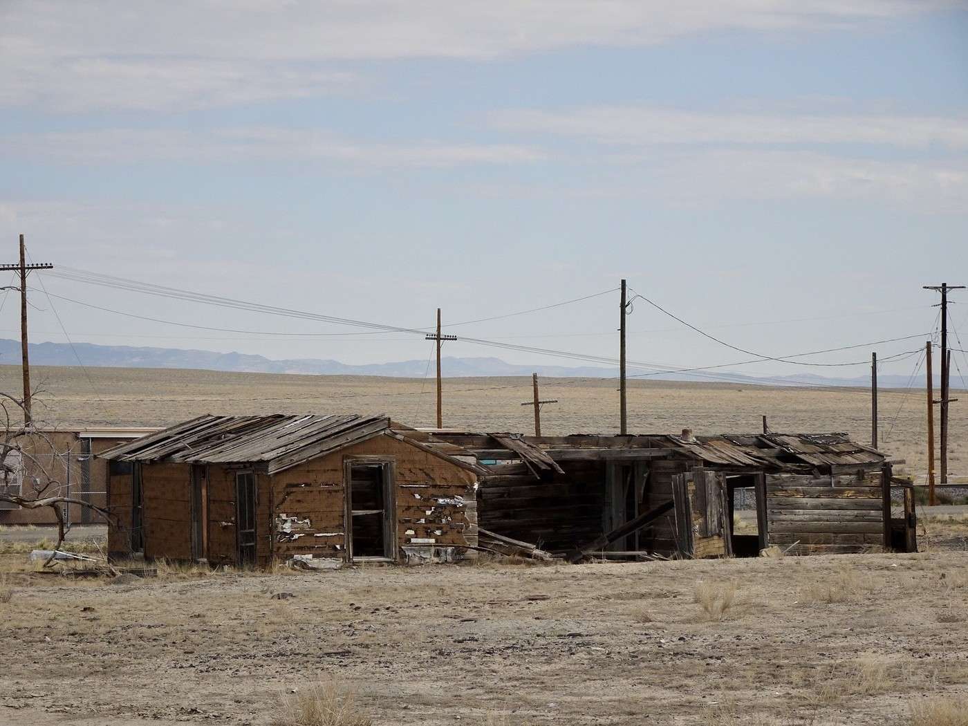
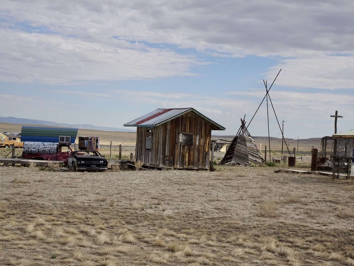
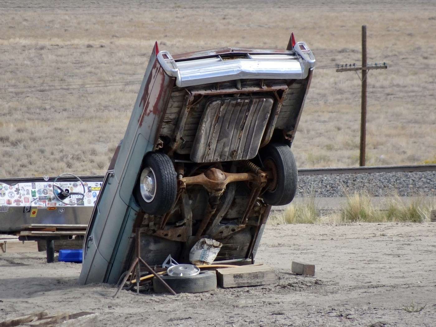
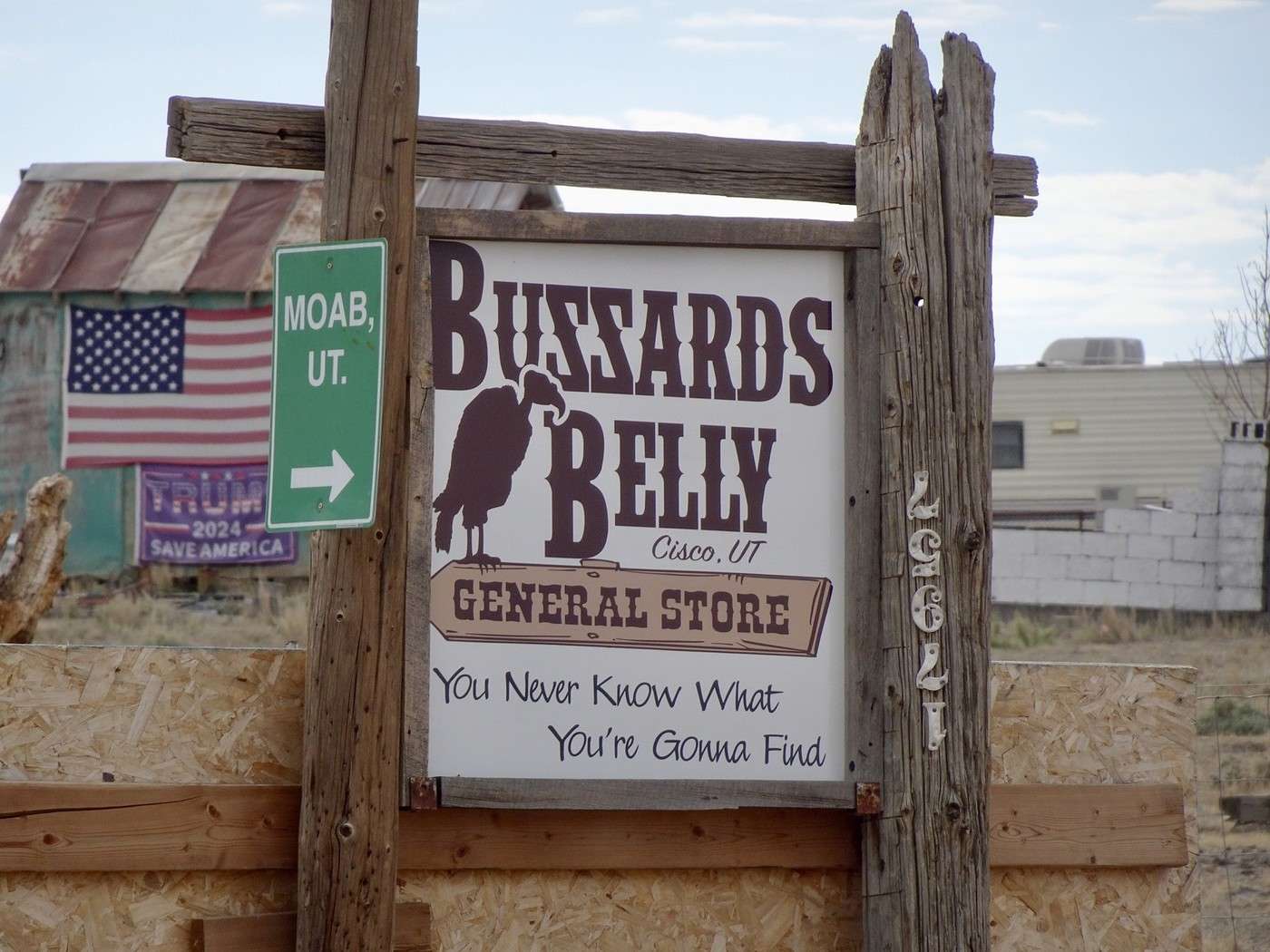
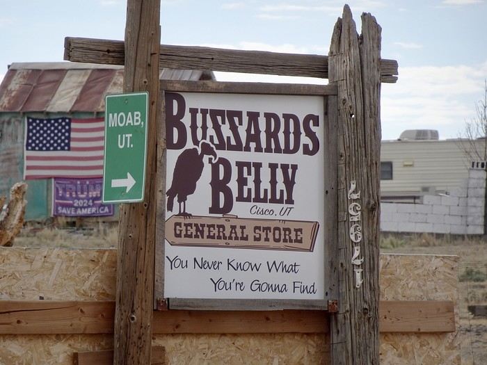
A few photos of the semi-ghost town of Cisco with its abandoned buildings and old vehicles.
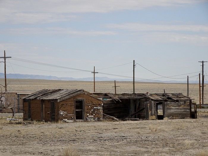


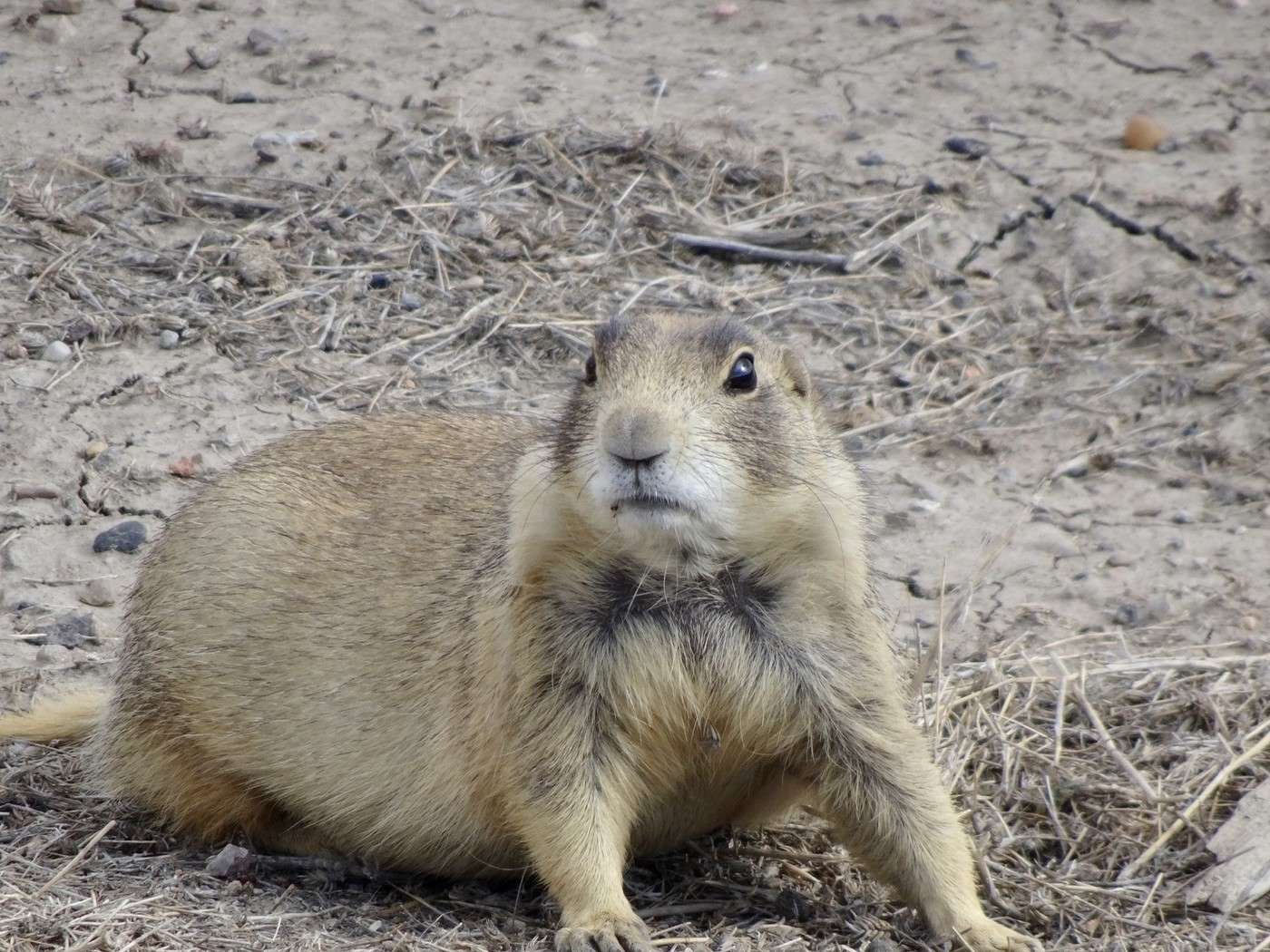
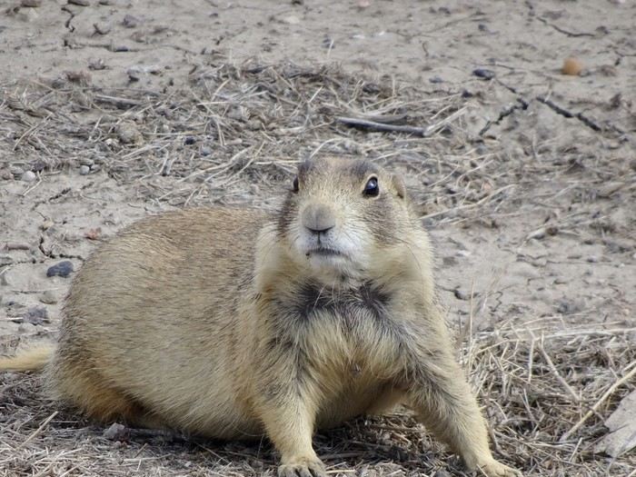
This town, founded in 1880, thrived during the railroad era (it was a water refill station), but the switch from steam to diesel locomotives and the construction of Interstate 70, which bypassed the town, nearly turned it into a ghost town. Large prairie dogs seem to be the only ones left in charge, even though there’s still a general store.

Martine and DD in Colorado and Utah

Marcalamar · 2025-01-08 · Message 36 of 60

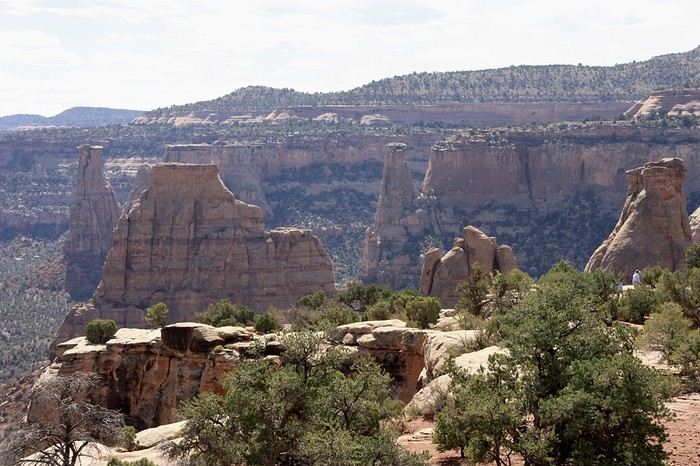
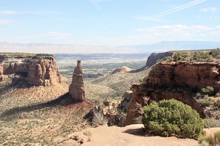
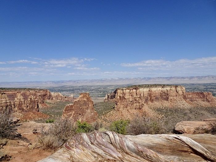
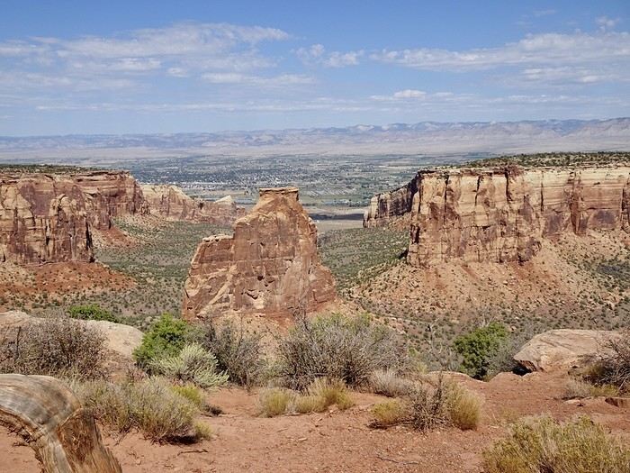
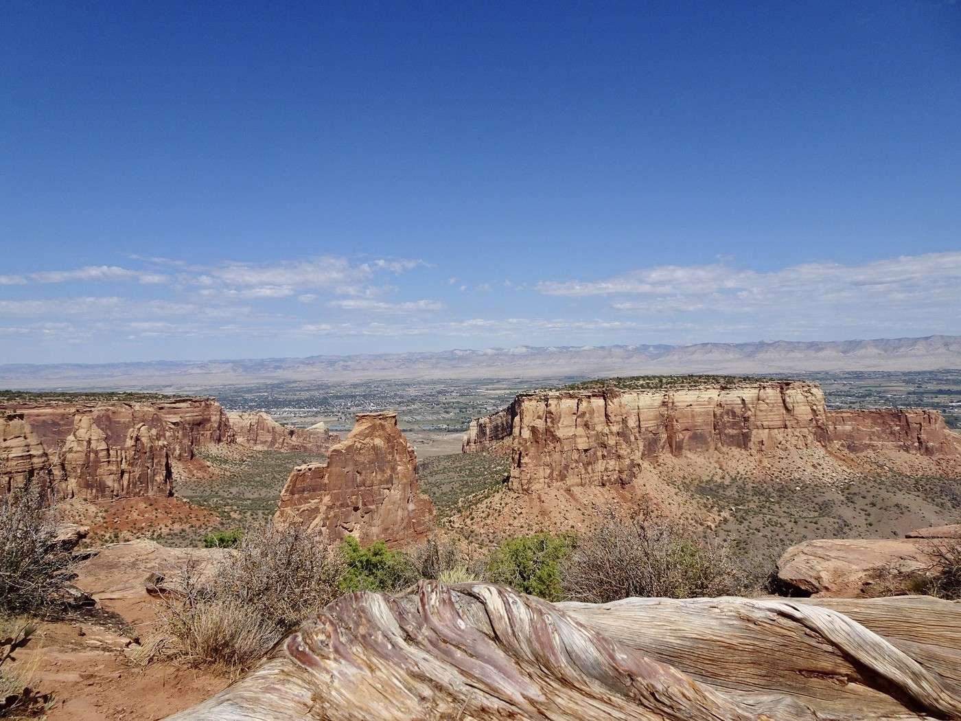
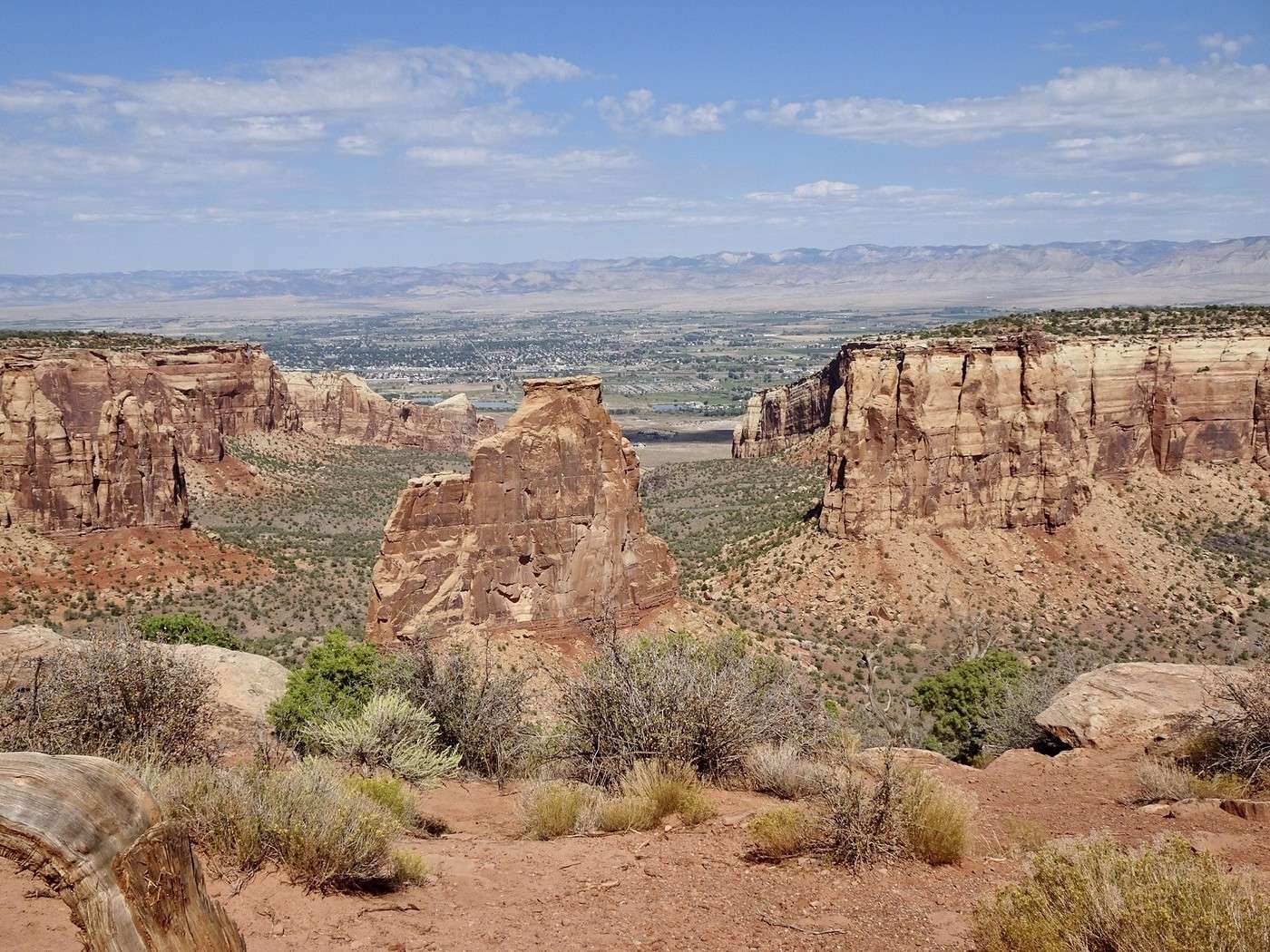
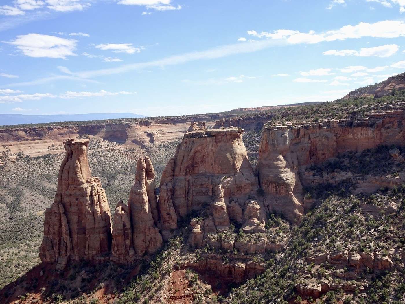
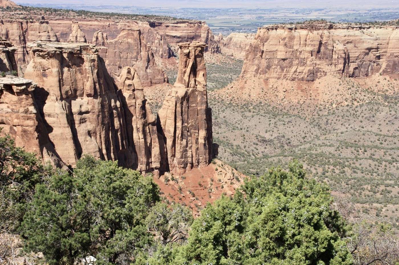
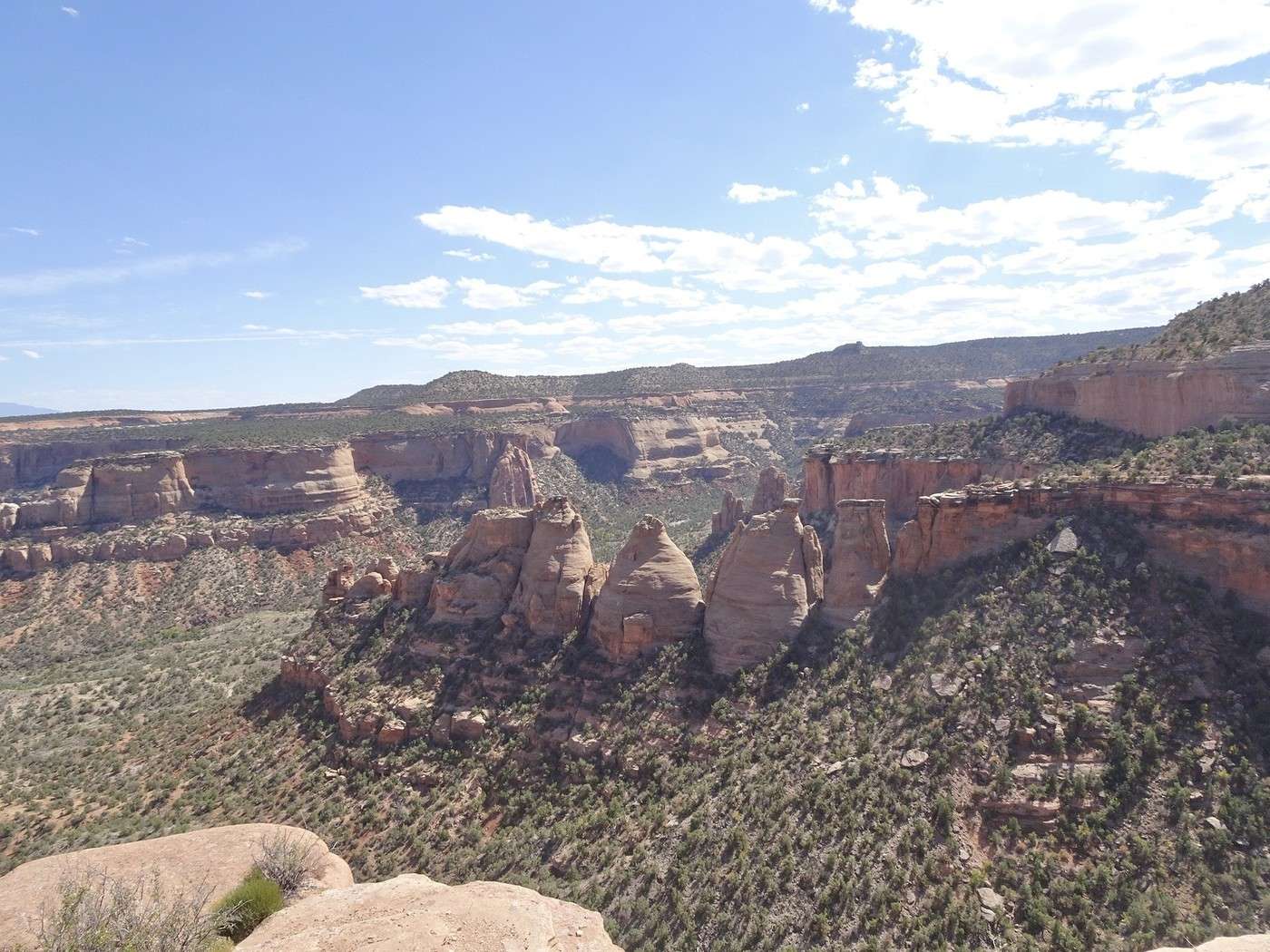
Colorado National Monument (continuing J 16) We leave Cisco. At 10:25 AM, we're on the highway, and less than an hour later, we start exploring Colorado National Monument. Since we’d hiked here in 2017, we didn’t walk this time—just stopped at the viewpoints.

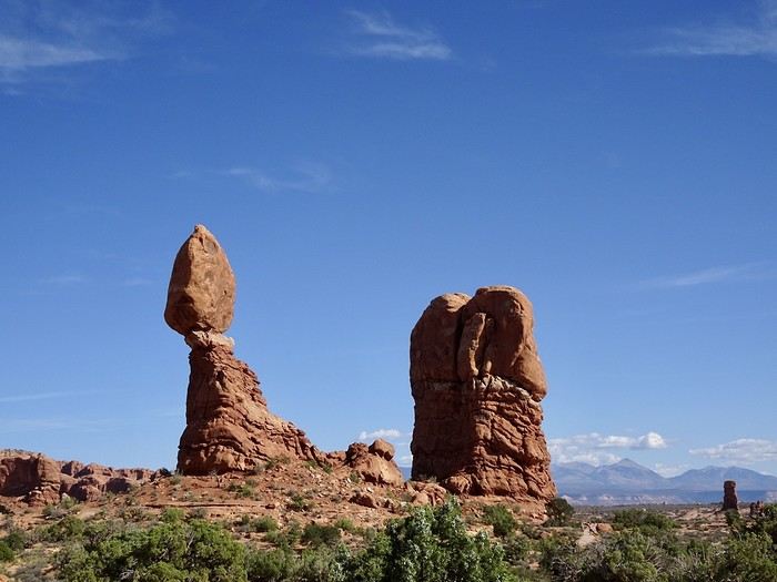
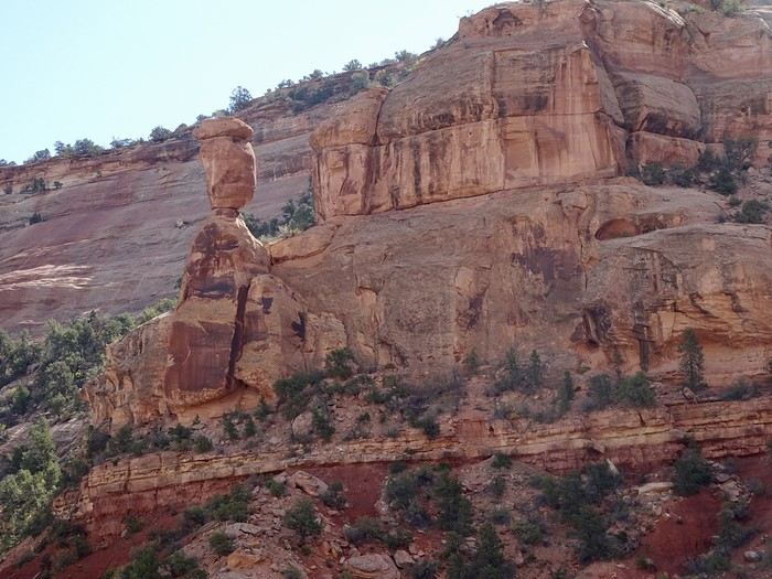
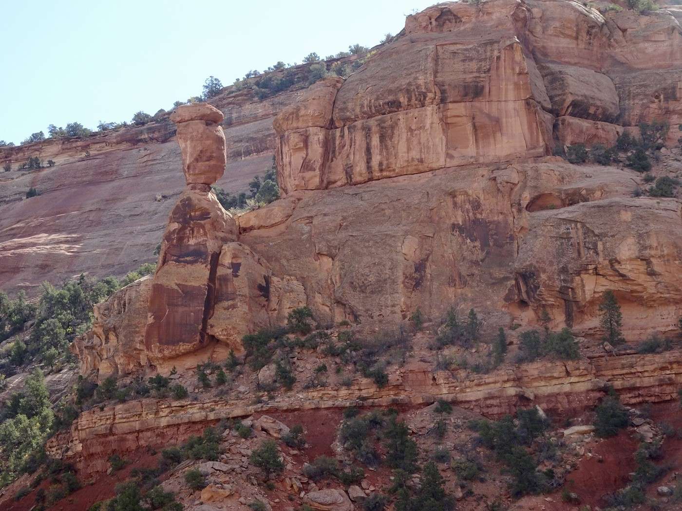
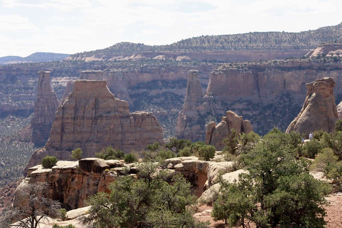
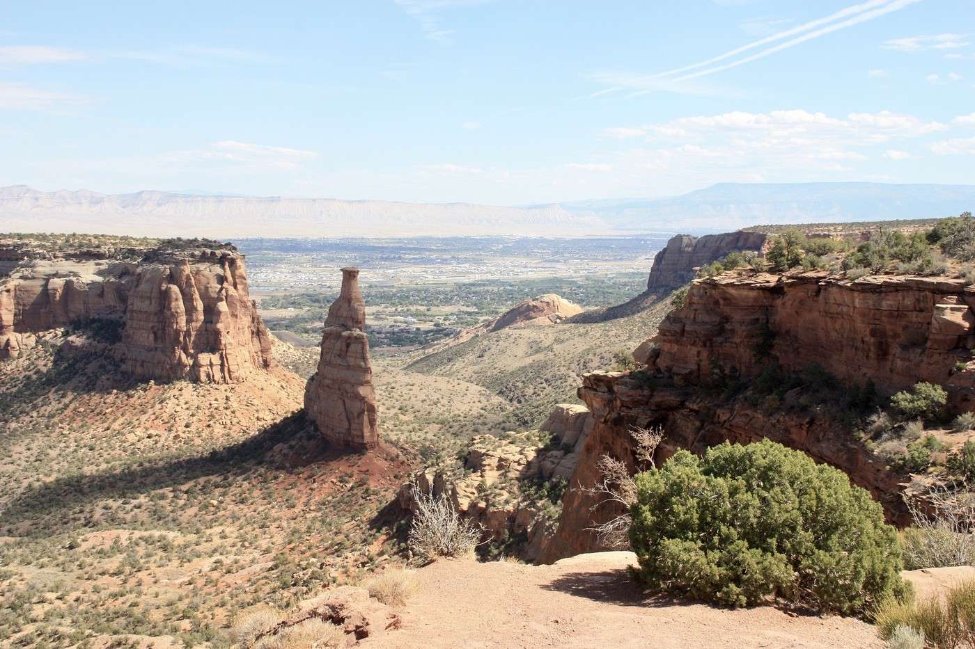
It’s a small park full of color and very quiet, just how we like them. Right from the entrance, you see the red rocks, cliffs cut like a knife, the Pinnacles, and the precariously balanced rocks reminiscent of Arches National Park, plus, a little farther on, the mesas and buttes of Monument Valley. While there are plenty of hiking trails to enjoy, you can just follow the Scenic Drive. The 37 km (23 miles) of this panoramic route, Rim Rock Drive, hugs the hillside and lets you discover incredible landscapes below—thanks to about twenty viewpoints—with steep canyon walls and plateaus featuring striking geological formations shaped by wind, ice, and water.


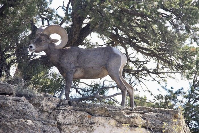
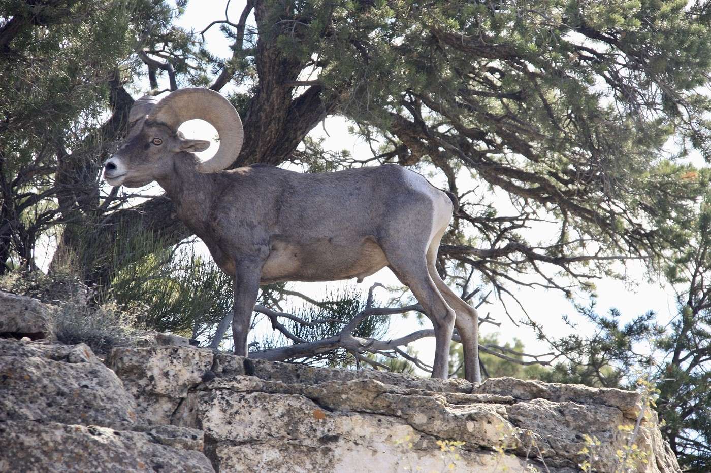
Twice, we spot a family of desert bighorn sheep—such a treat!


It’s peaceful, we take our time, the weather’s warm, there are hardly any people, and the views are extraordinary. For the second time, we soak in this little gem before heading back to civilization in Fruita for a nice ice cream at Starbucks near our hotel. A quick dip in the jacuzzi. Tonight, no restaurant—we’re staying in the room, finishing up yesterday’s leftovers!

Martine and DD in Colorado and Utah

Marcalamar · 2025-01-09 · Message 37 of 60

Day 17. September 27. Fruita to Crested Butte via Kebler Pass

Cristiana Guest House: $413 for 2 nights with breakfast and jacuzzi. A very beautiful chalet, beautifully decorated, practically in the town center of the magnificent town of Crested Butte. Lovely welcome from the receptionist, but the owner was unpleasant. Hearty and tasty breakfast. Hot drinks available all day and cookies in the afternoon. However, the room was tiny (it was the cheapest at over 200 € per night), sold as a Queen but actually a 140 cm bed with a lock that didn’t work properly and electrical wires from a ventilation system without a motor hanging loose—and this had been the case for months.

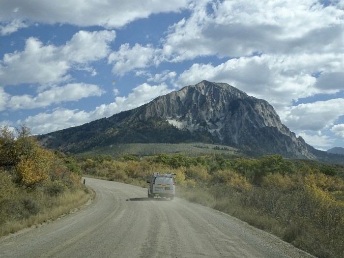
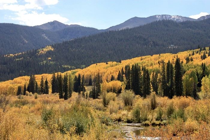
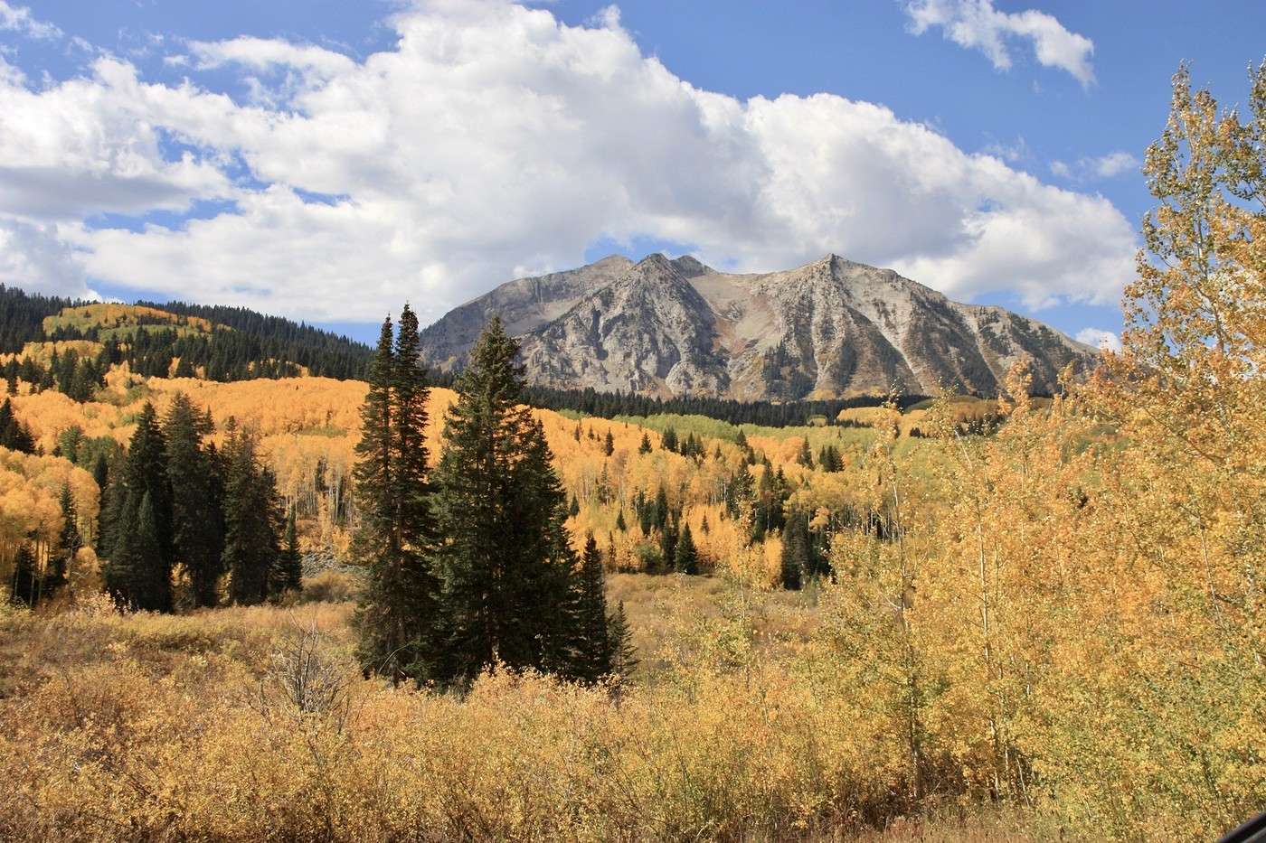
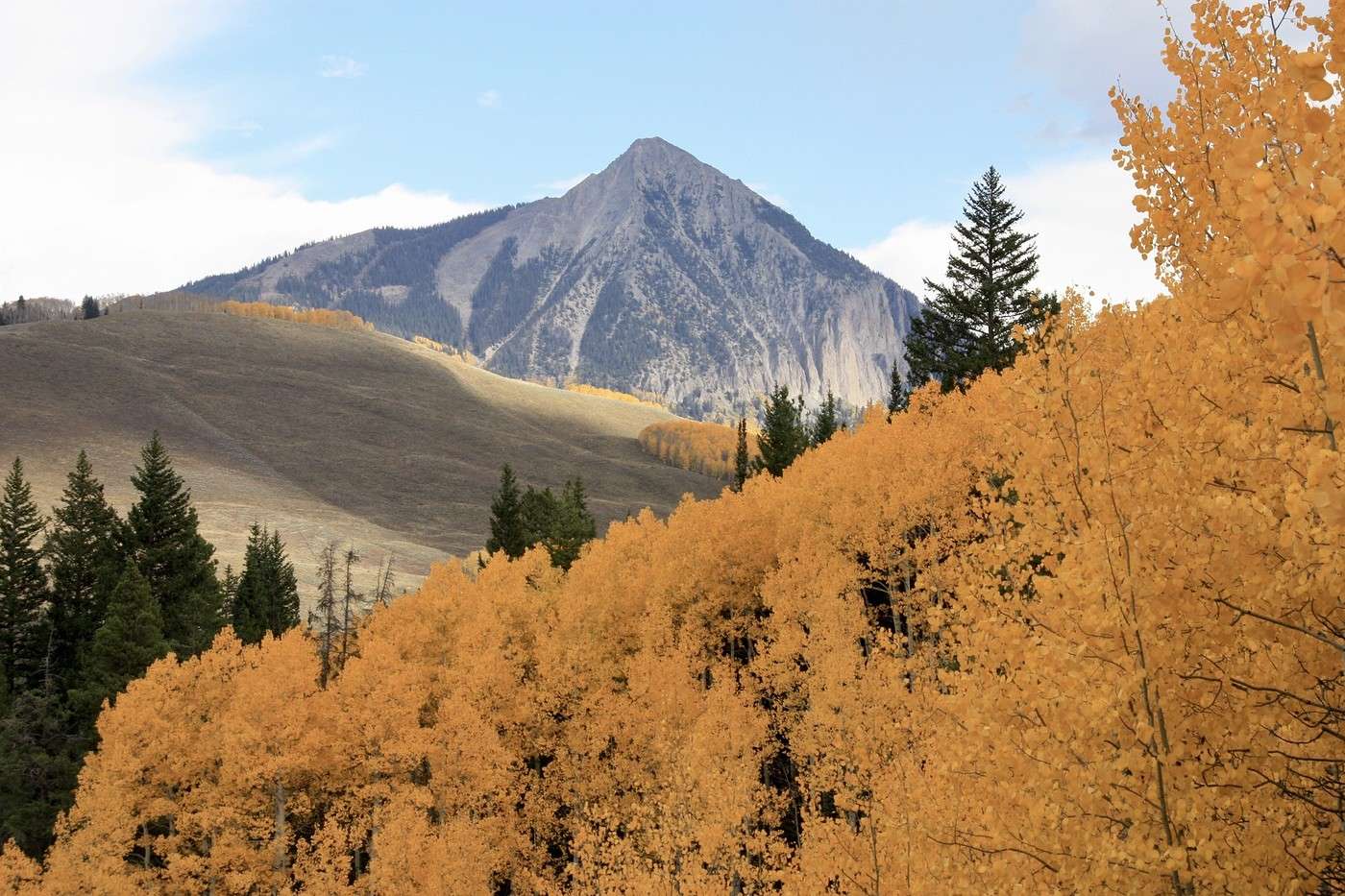
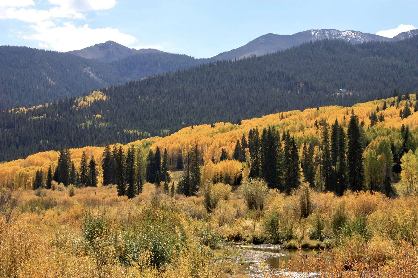
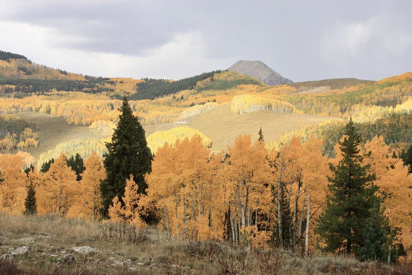
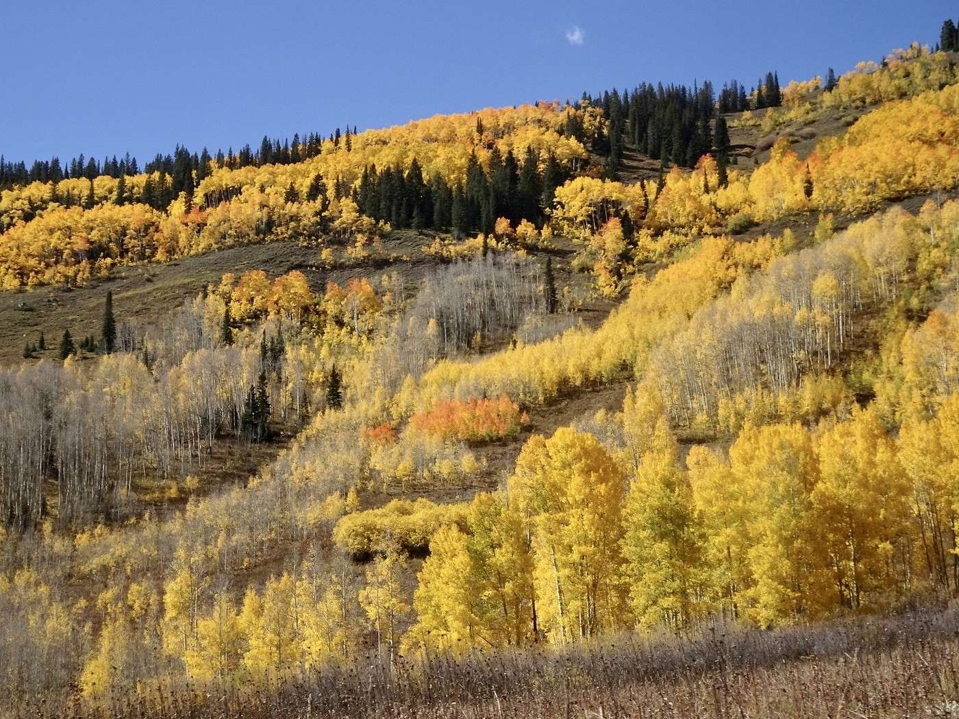
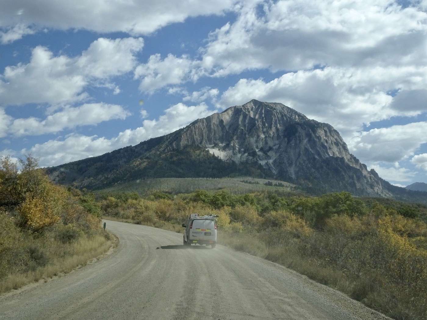
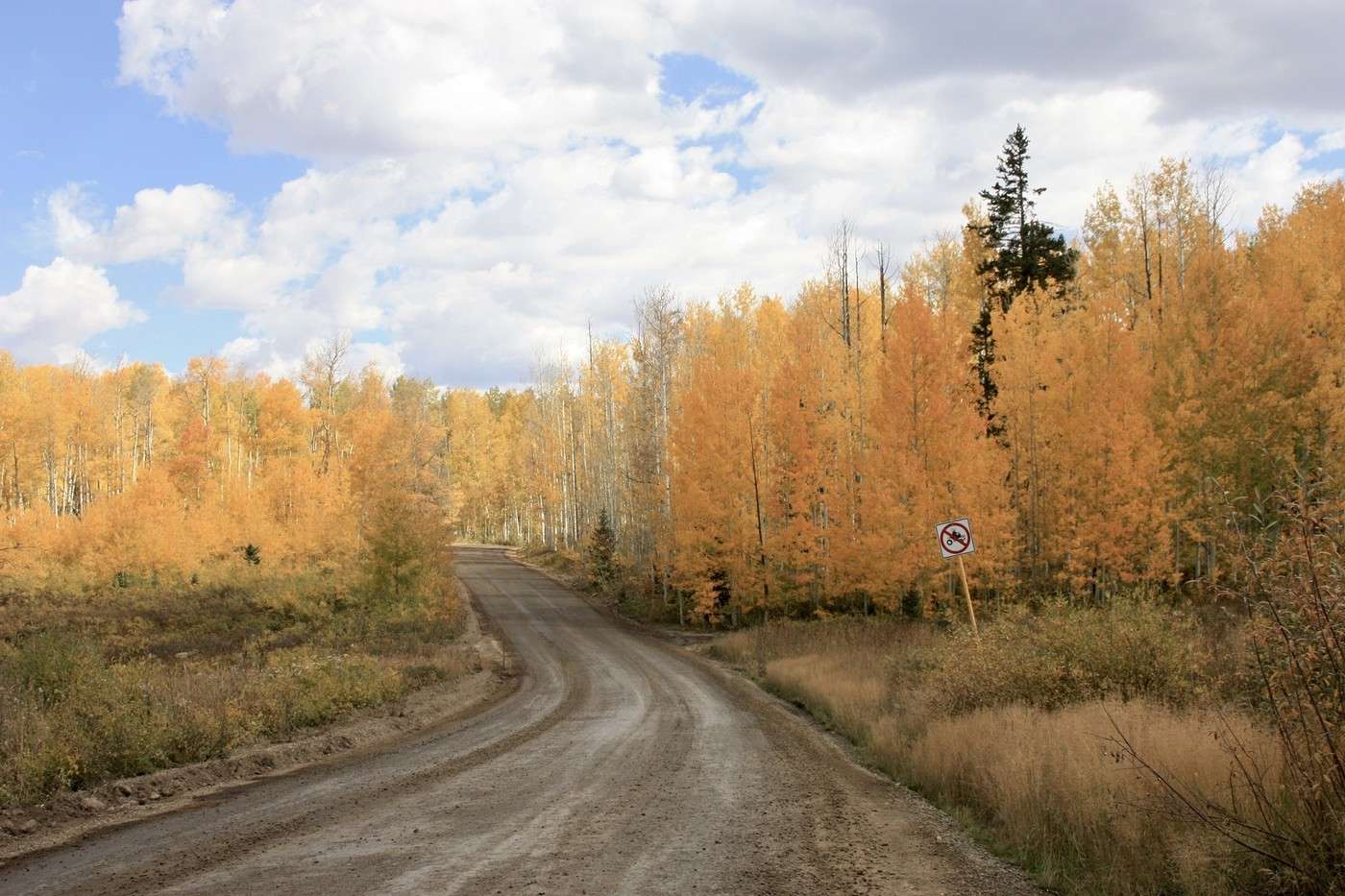
In 2019, during our stop in Fruita, we bought excellent pies from a small bakery run by young girls in 19th-century outfits (likely part of a community). After finding the address with great difficulty, we were disappointed to see it’s now closed. No pie for dessert—what a shame. We had two options to get to Crested Butte: either via the south and Gunnison or via the north through Kebler Pass at 3,000 meters. Since traffic on US 50 is still an issue (signs warn about it at the junction), we decided to take the northern route. We left at 9 AM. After leaving Fruita, the red rocks disappeared completely, giving way to rounded gray rocks. The road crosses vast plains with a few mountains framing a road that seemed endless. After crossing the Gunnison River, the landscape changed again—ranches, tall trees, horses, cornfields, and orchards. Starting in Hotchkiss, we found the greenery of Colorado we’d come to see, with Moab being the icing on the cake. After Paonia, we drove along the beautiful West Elk Loop. The yellow aspen trees reappeared, along with a few firs on the surrounding hills. Kebler Corner—now the show begins. We had 50 km to take it all in. Very quickly (11:15 AM), we left the pavement for a dirt road—dusty but drivable. The higher we climbed, the more beautiful it got.
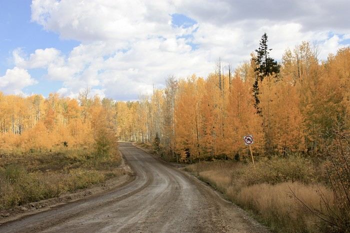
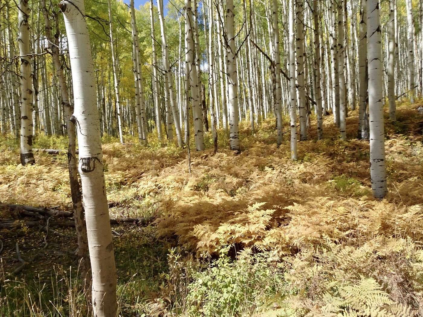
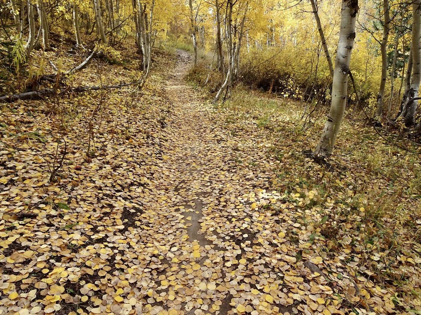
We saw cars stopped along the way and lots of people getting out with cameras or phones to try and capture the best shot. The small aspen leaves were swirling and landing on the ground! Even the ferns were golden.
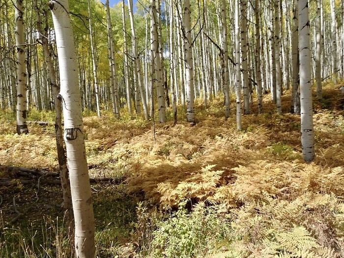
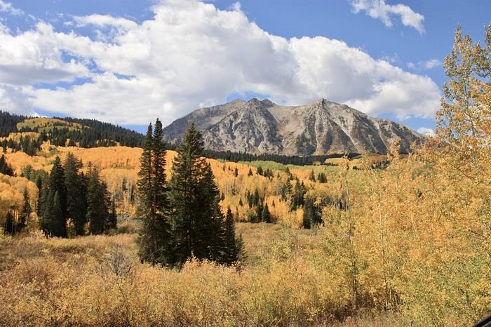
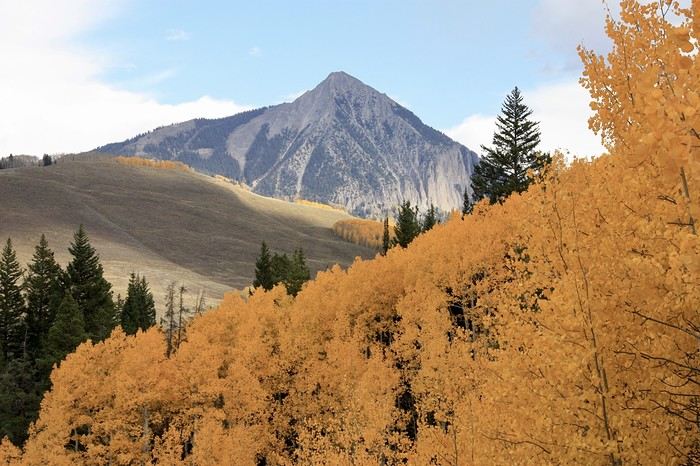
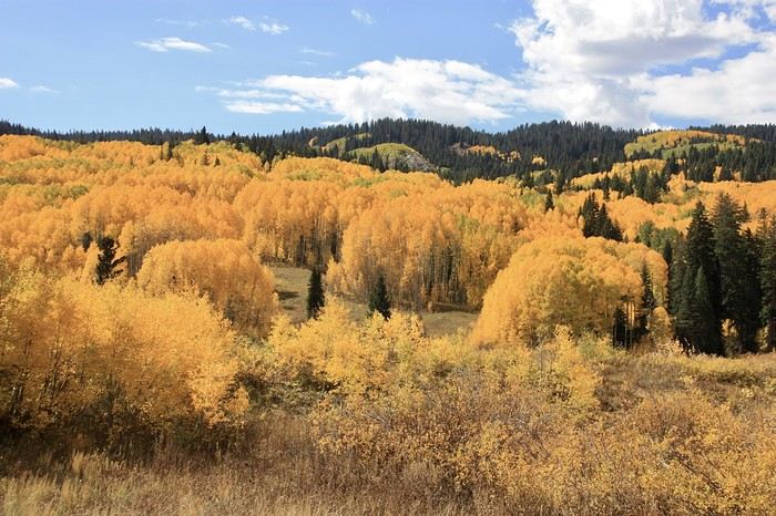

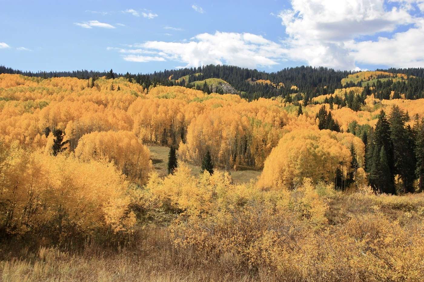
The road was in good condition, and the sun was out. In some places, it looked like the forest was covered in gold.

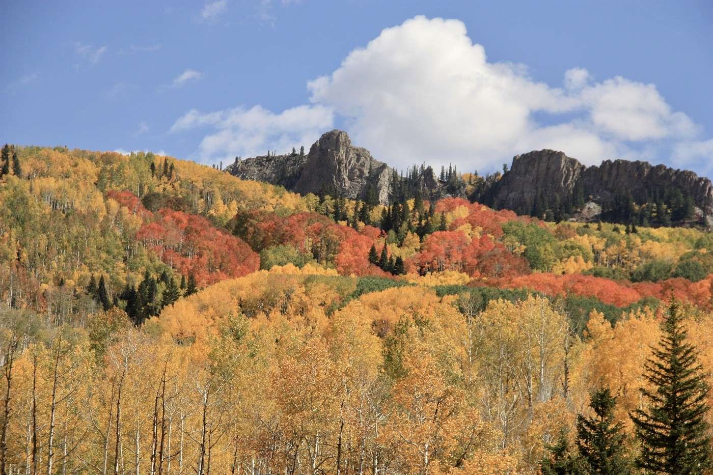
Elsewhere, other colors joined in.
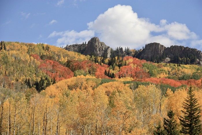


It was magnificent. The scenery peaked at the pass (3,050 m), then gradually, firs replaced the aspens. 12:20 PM—finally, the road turned back to pavement. We had a little picnic in a town park. Since it was too early to check into the guesthouse, we headed to the visitor center to grab a map for the easy Upper and Lower Loop hike planned for the afternoon.
Martine and DD in Colorado and Utah

Marcalamar · 2025-01-09 · Message 38 of 60

Hike Upper and Lower Loop (Day 17 continued)

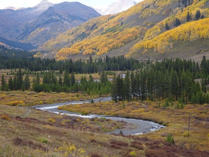
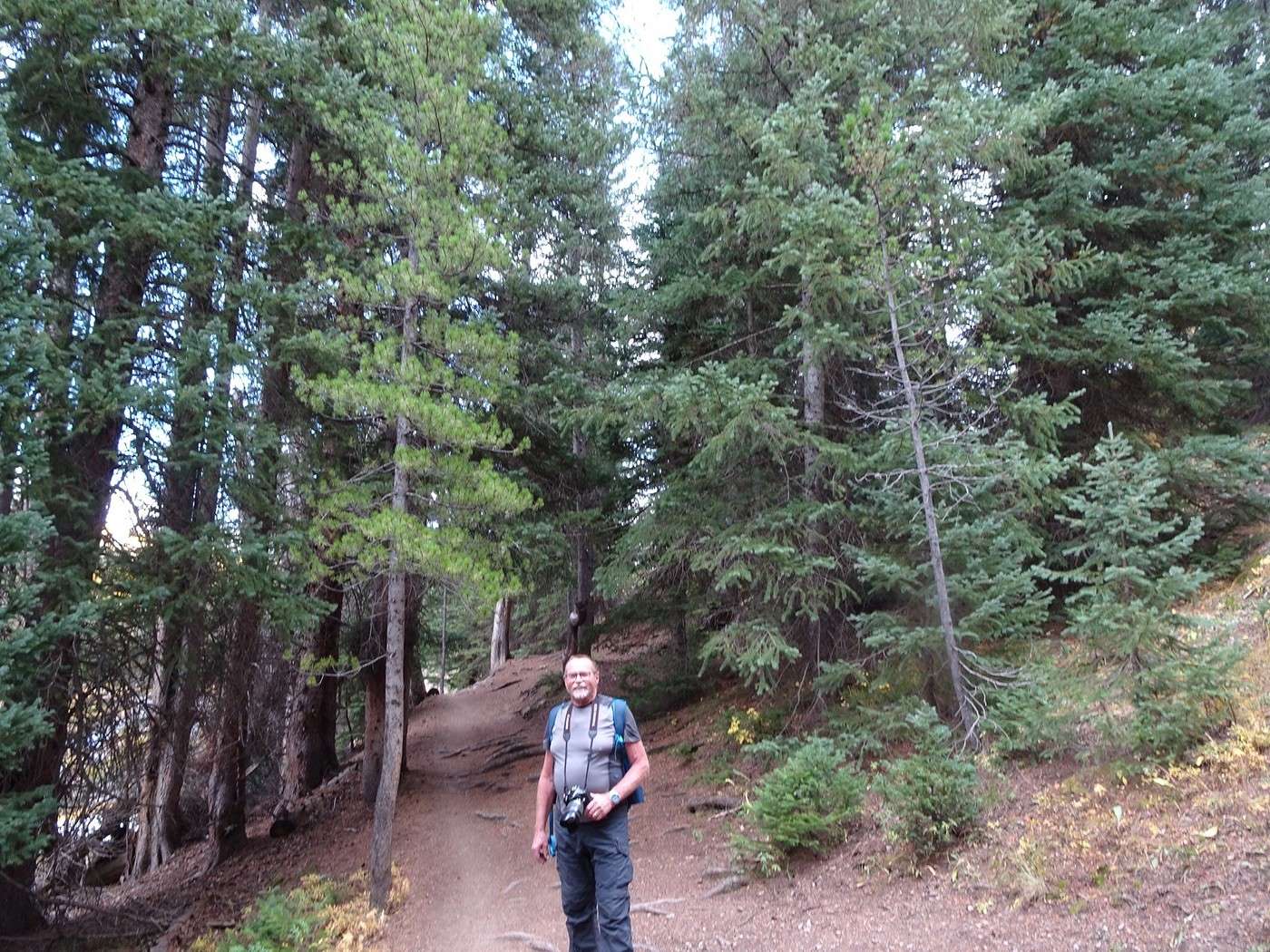
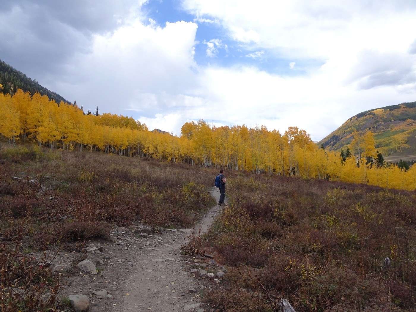
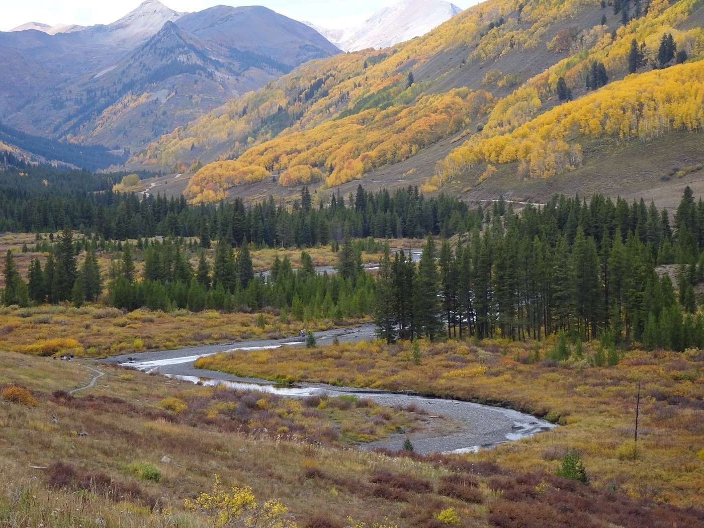
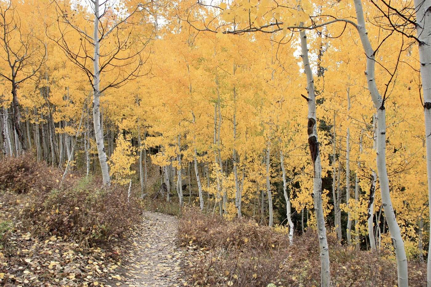
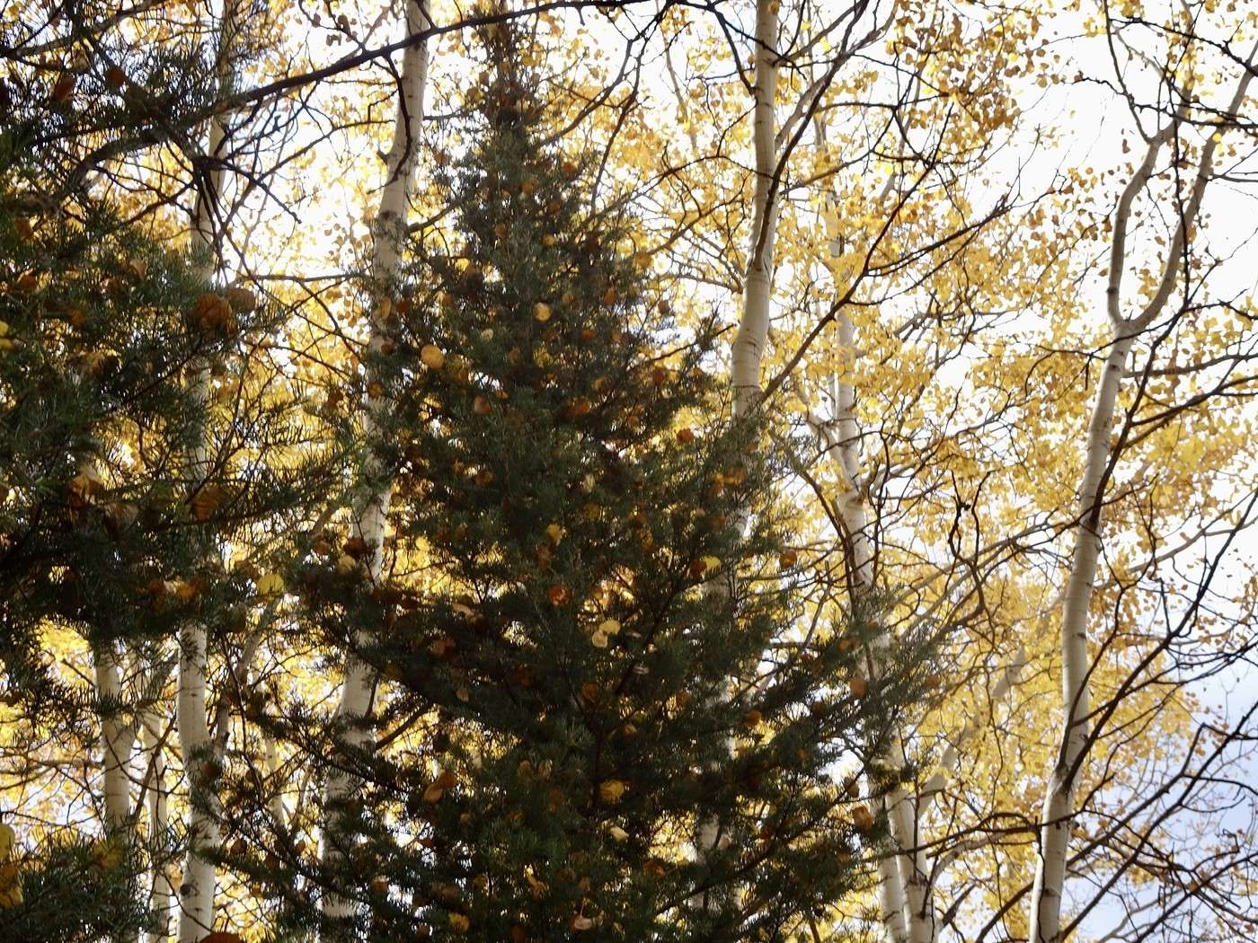
With the easy little hike of the Upper and Lower Loop—just about 7 km with little elevation gain—just a few kilometers from Crested Butte, surrounded by mountains along the Slate River and then completely by golden trees, we were once again amazed by what we saw. We start with a small bridge and then follow the river. A short walk through the fir trees. Everywhere, stunning splashes of color. We tackle the climb. The trail goes right through the aspen trees. We’re walking on gold. No need to decorate the tree—the aspens take care of that.
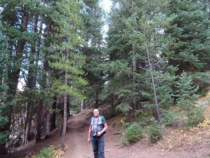
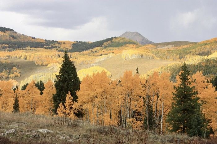
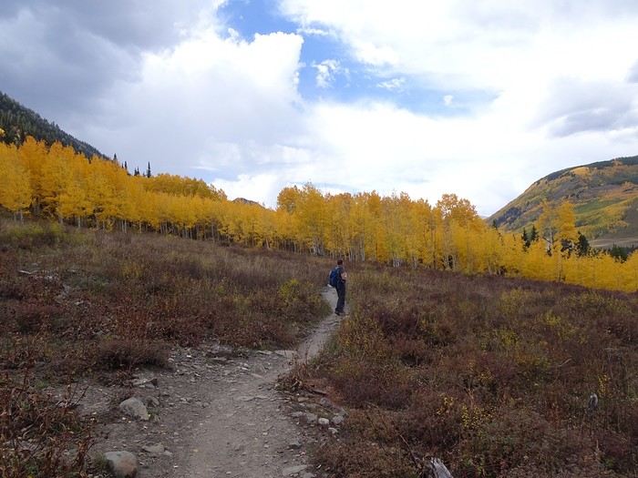
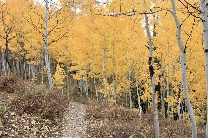
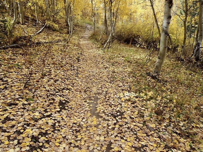
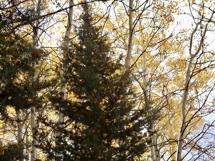
Our hike lasted about an hour, and it’s more pleasant and easier if you do it clockwise (downhill at the end rather than a steep climb at the start). But we could’ve extended the loop. It can also be done by mountain bike. After this lovely hike, we returned to the lodge where we could settle in quietly for our two nights before heading out on foot to explore the town. Tomorrow, another ghost town and waterfalls are on the agenda.
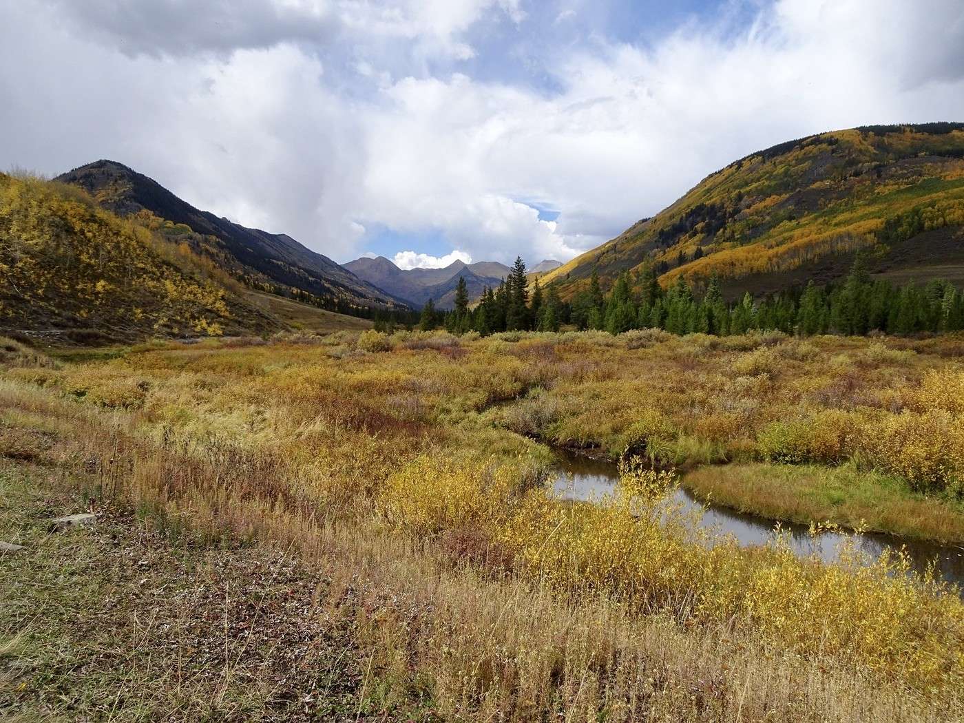
Martine and DD in Colorado and Utah

Marcalamar · 2025-01-10 · Message 39 of 60

Day 18, September 28: Around Crested Butte

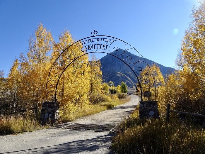
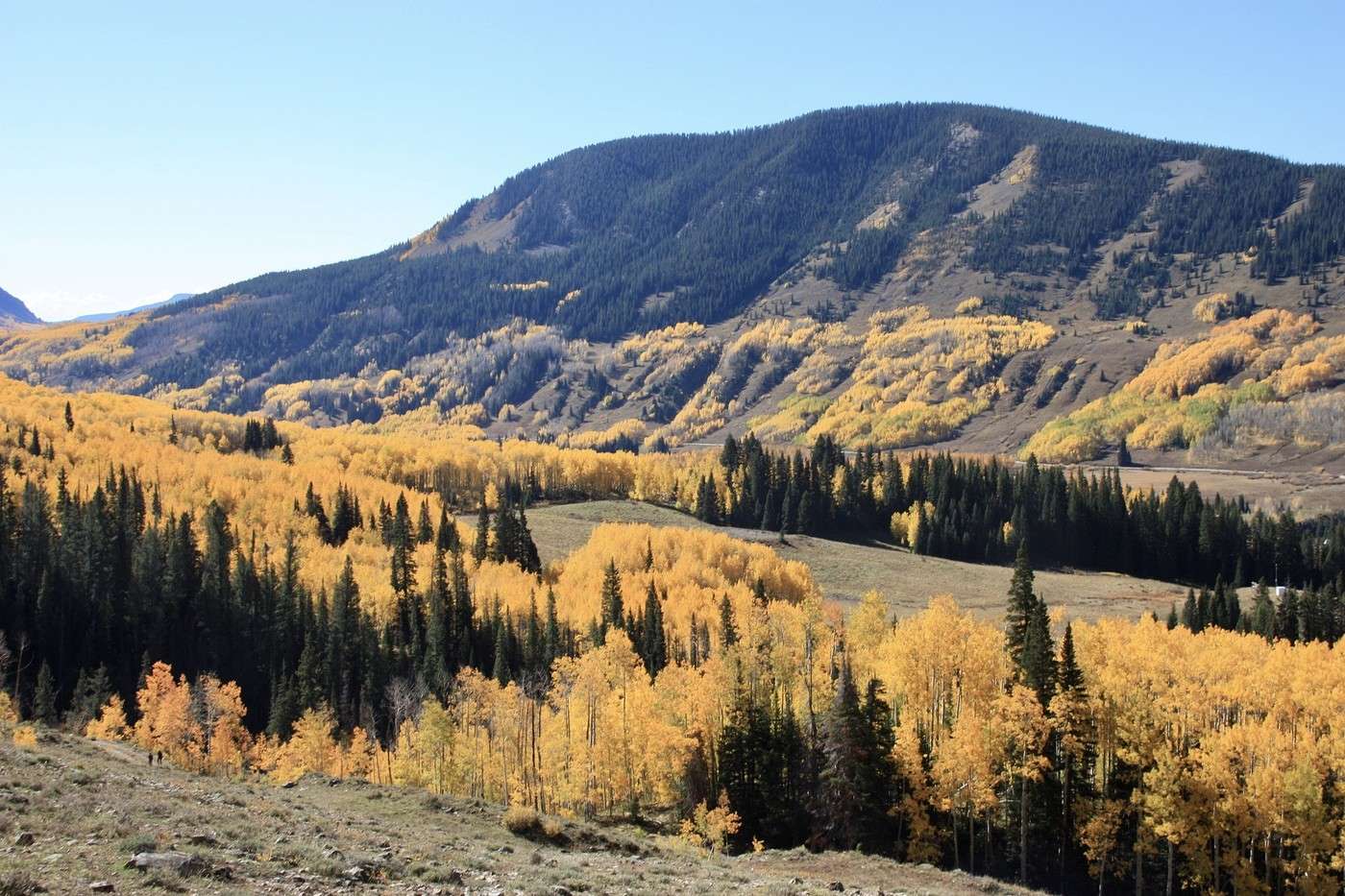
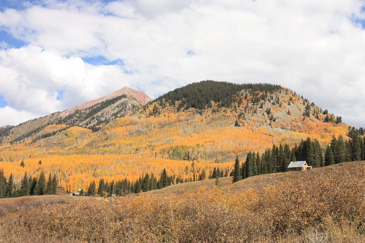
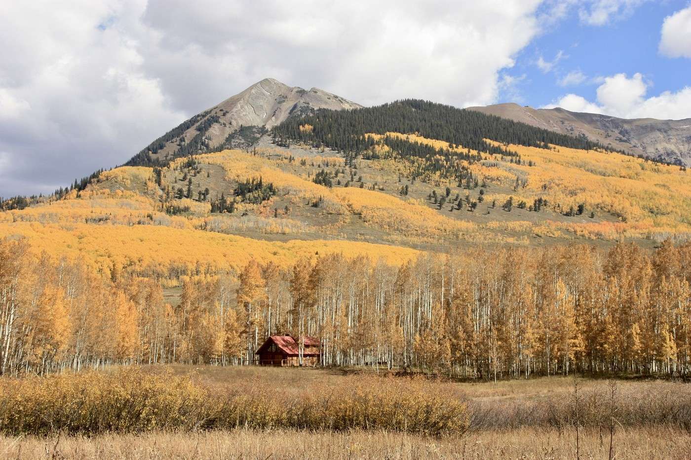
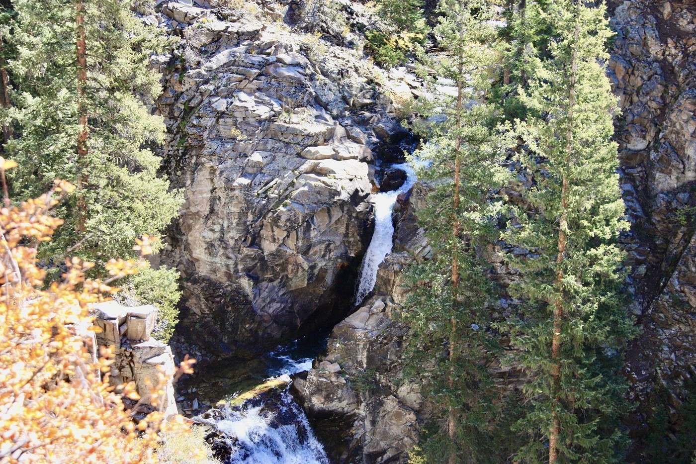
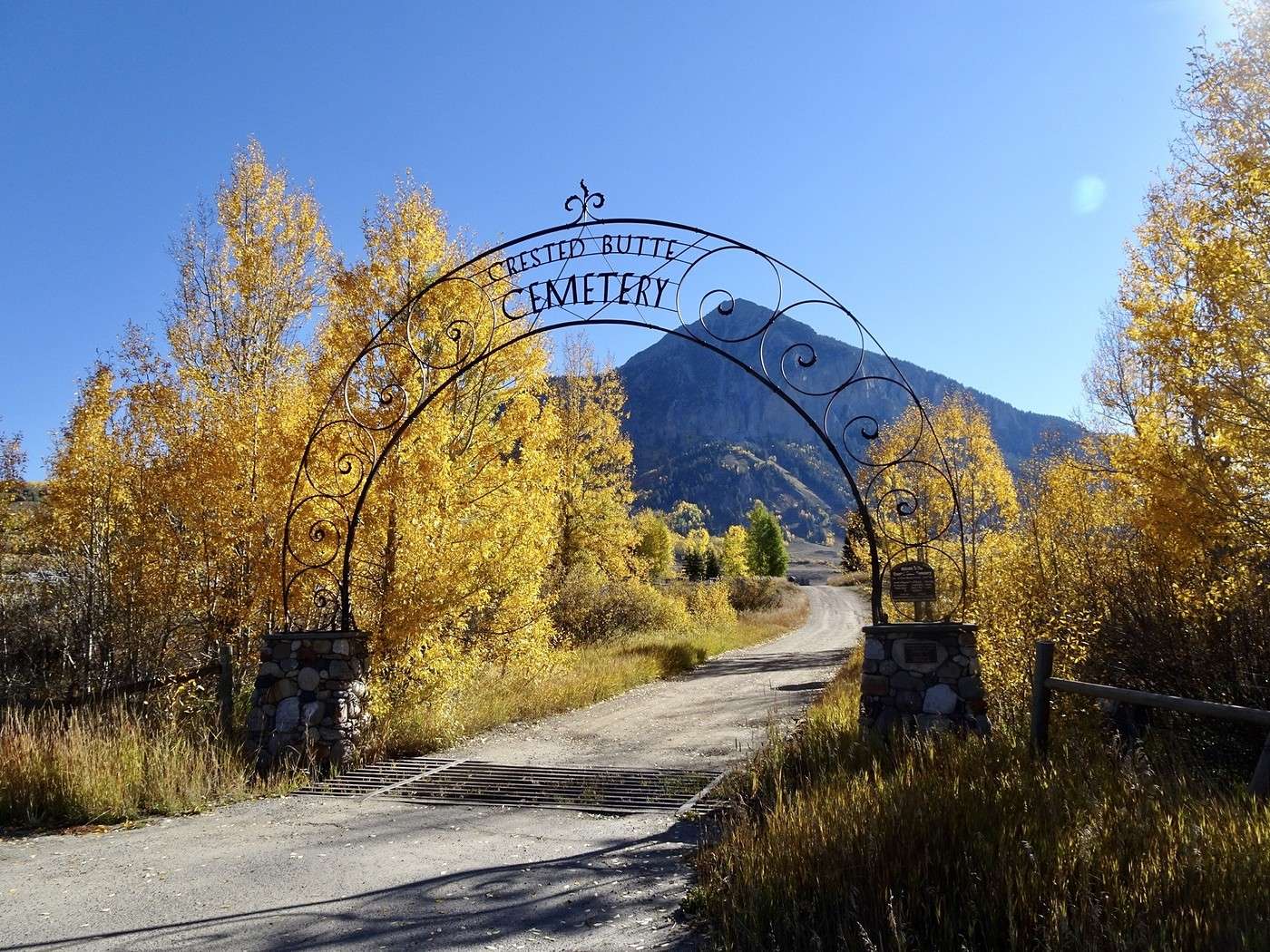
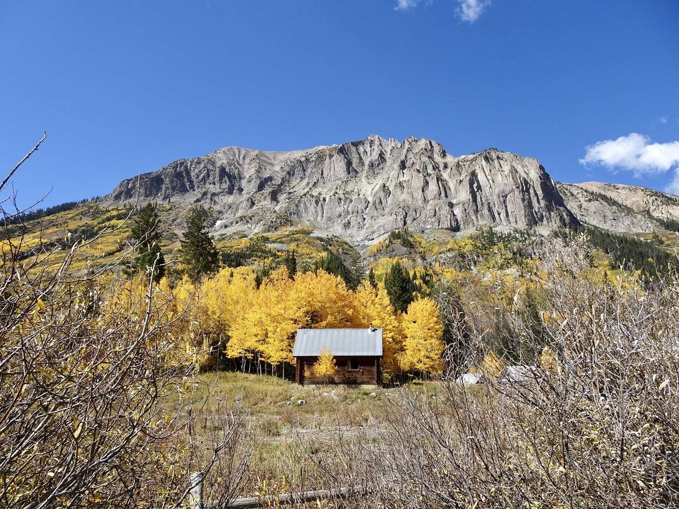
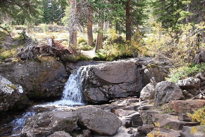
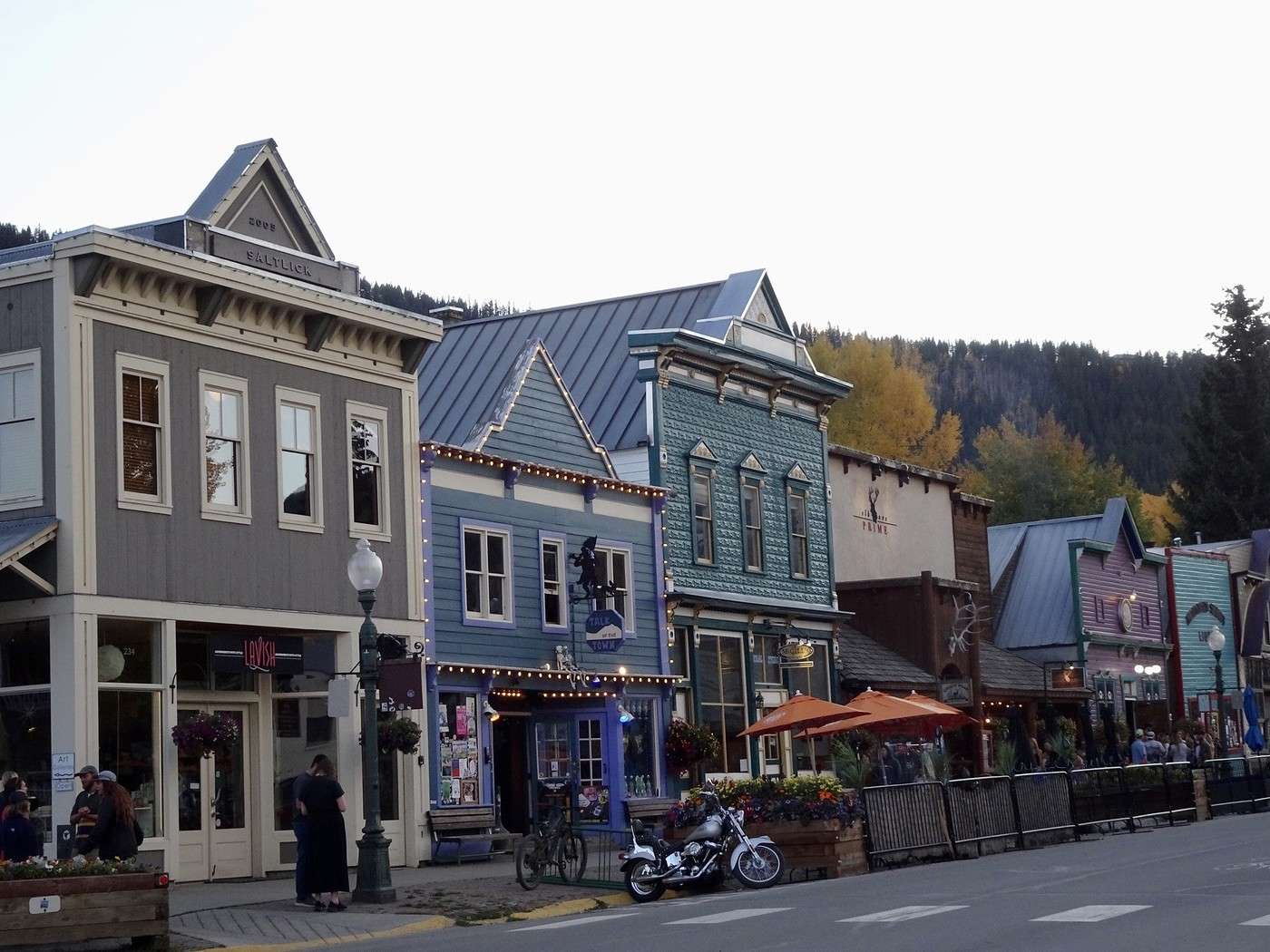
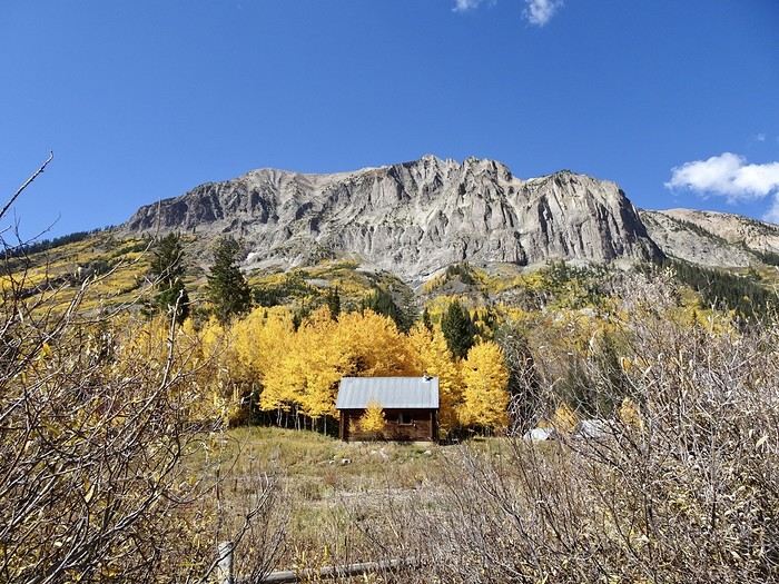
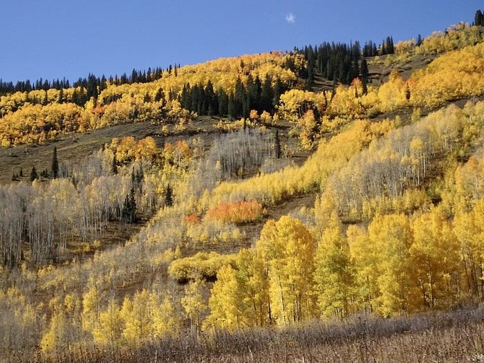
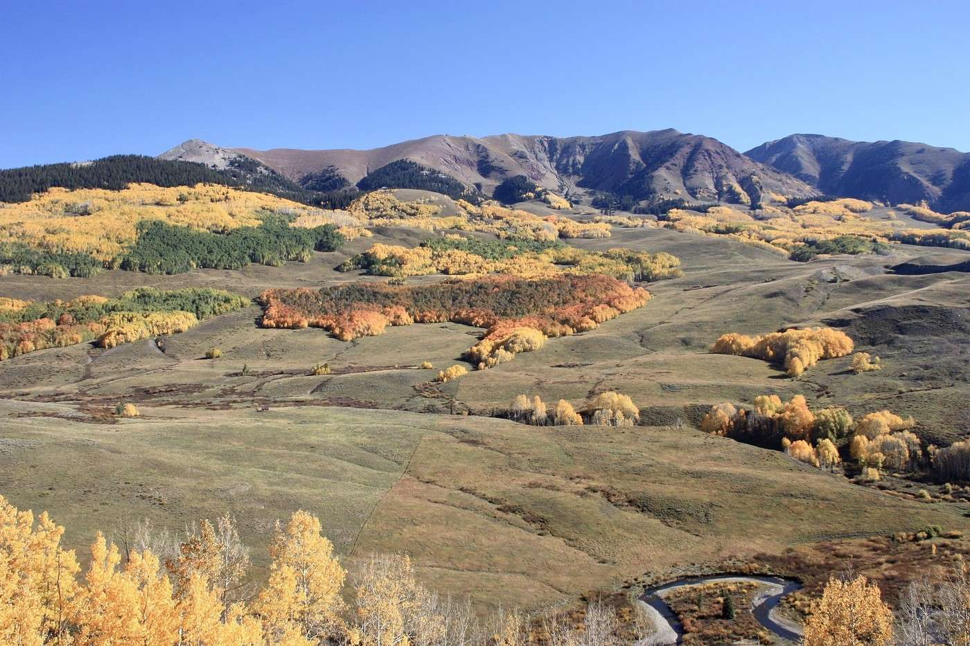
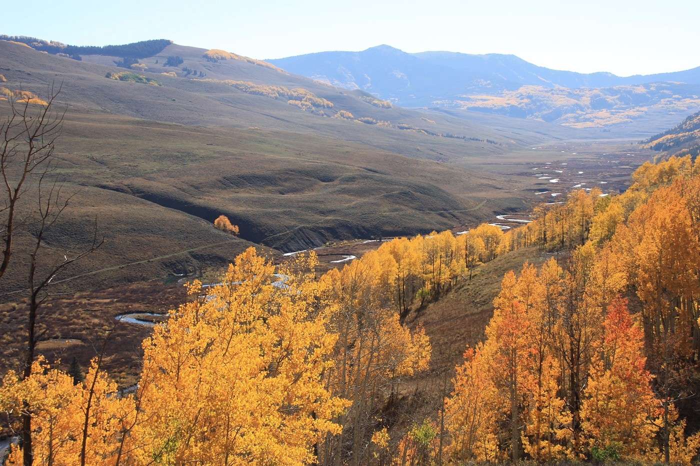
Planning a chill day today—we won’t be driving far since we’re staying in Crested Butte again tonight, but our legs should still get us around to see what’s happening near the village. We set off at 9:30 AM. It’s already 15°C (59°F), but the thermometer must’ve dropped quite a bit overnight because water keeps dripping from the roof like the sun is melting it. Today’s all about exploring the area around this cute little mountain town—clean, flower-filled, and full of life. We pass by the Crested Butte cemetery, with graves nestled at the foot of the mountains and surrounded by wild grasses. Then we head to the Ghost Town of Gothic for the short Judd Falls hike. This town, which had 1,000 residents in the 1800s, now has just 4. No run-down houses like you often see—just a lot of empty cabins and a visitor center that gave me details about the hike. From there, it’s a beautiful trail winding below a tall mountain with stunning views of the opposite slope.
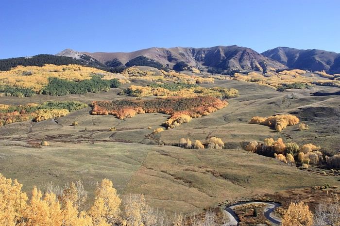
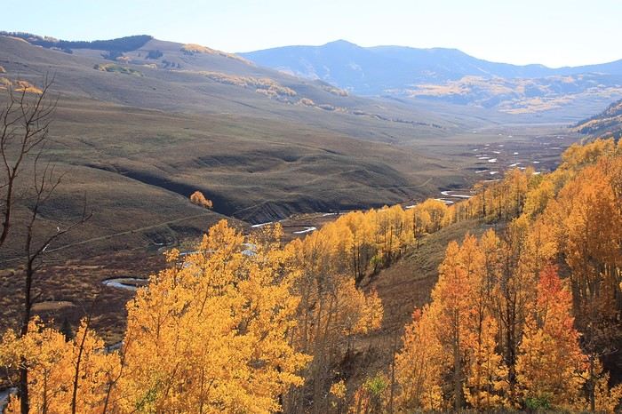
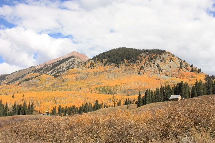
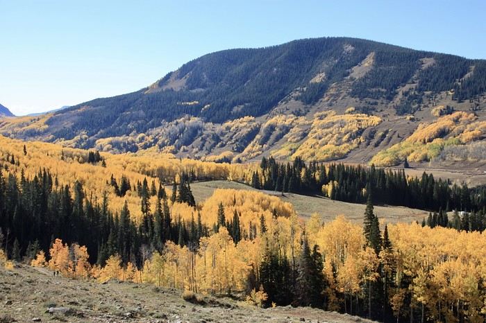
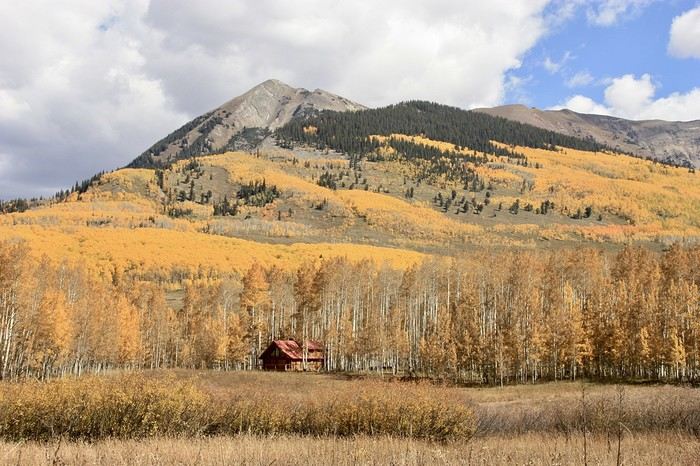


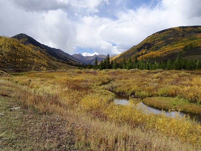
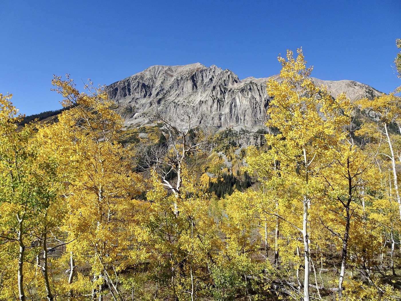
Golden trees, pink mountains, russet grasses, a winding stream, and the white-speckled trunks of aspen trees… Even after filling up on colors yesterday, we can’t get enough! The hike is easy, though it climbs quite a bit, and the pretty little waterfall at the end is the perfect reward.
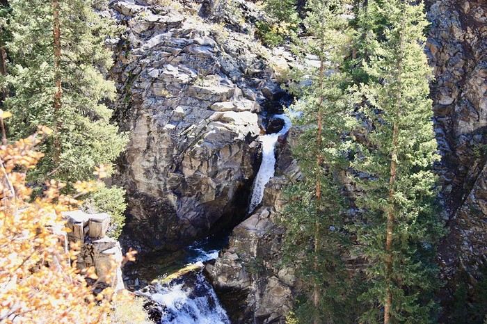
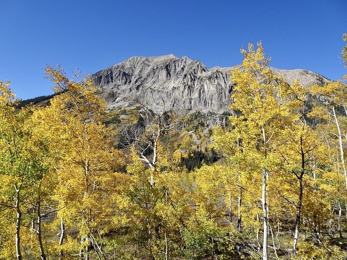
After just over an hour and 4.6 km, we’re back at the car and retrace our steps with just as much delight, stopping often to photograph all this beauty.
Martine and DD in Colorado and Utah

Marcalamar · 2025-01-10 · Message 40 of 60

Day 18 around Crested Butte (continued): Irwin Lake

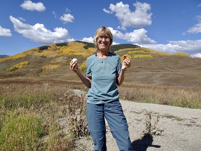
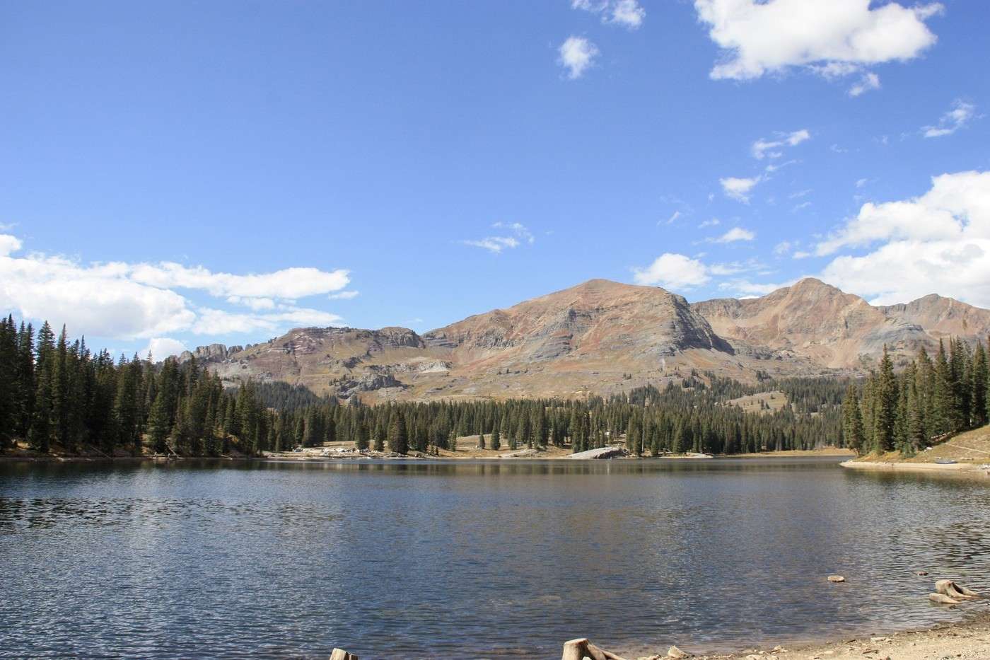
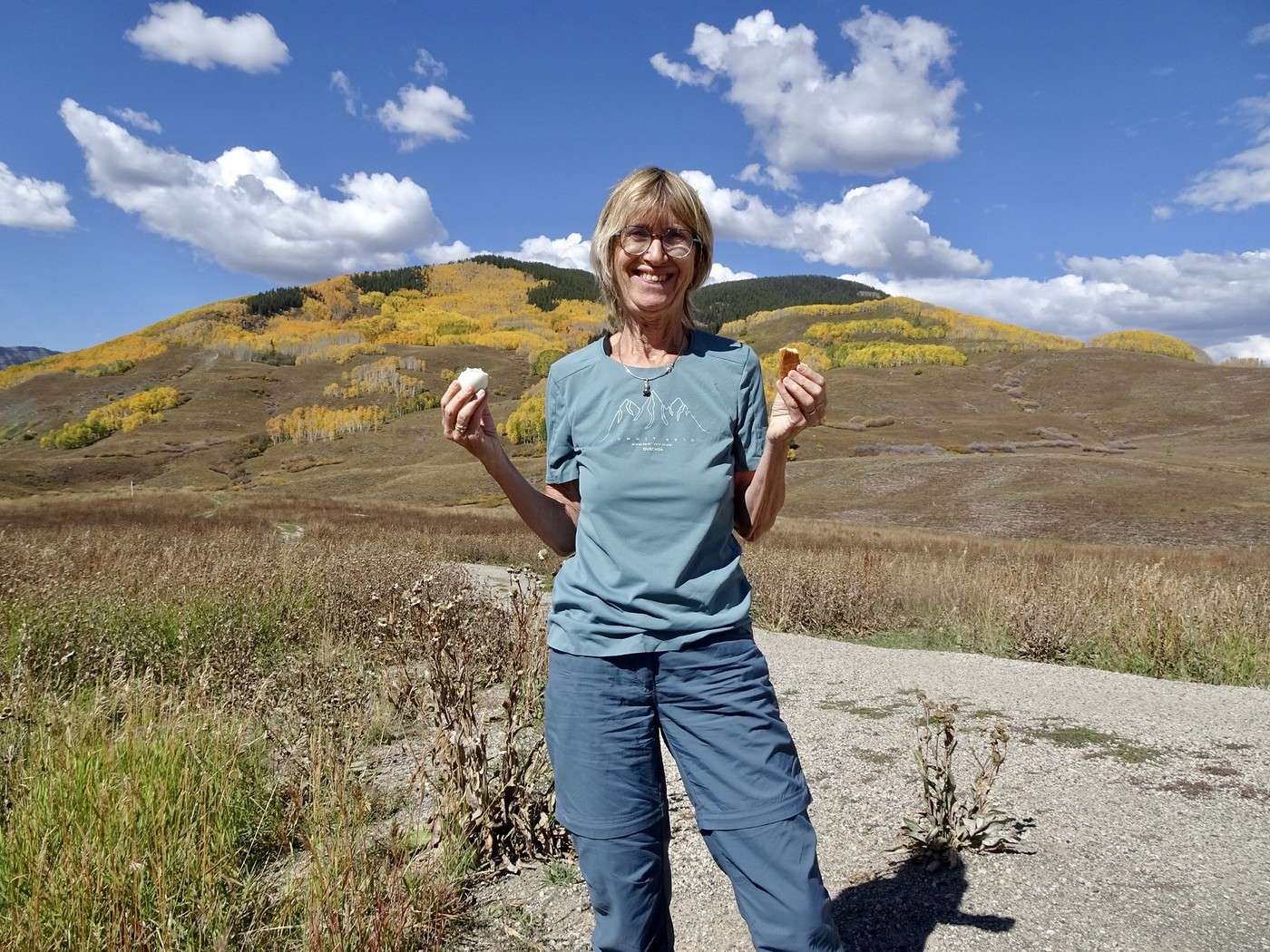
Picnic on a bench facing the mountains. It's 21°C, we're at 2,900 m altitude, and this frozen dessert of a person is in a T-shirt!!! Amazing!!!


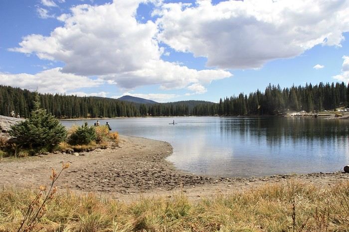
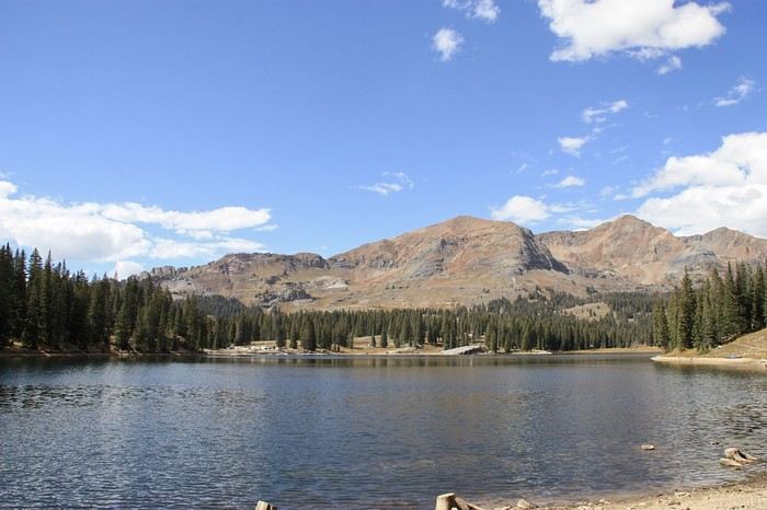
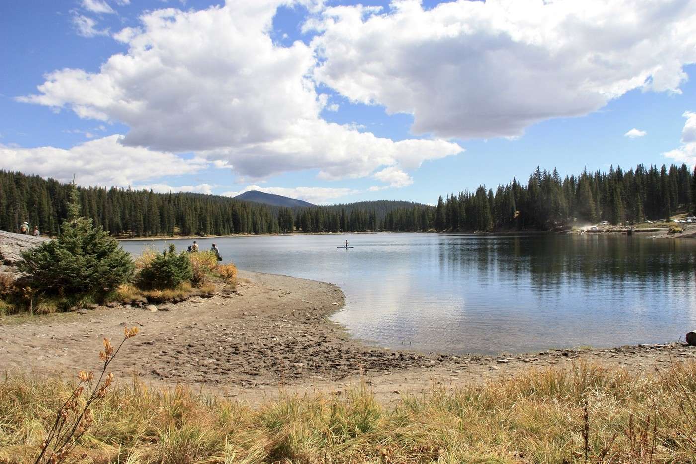
DD’s camera memory card is full (no surprise, we whip out the camera at every turn). We head back to the hotel for a coffee and to grab another one before rushing off to do the loop around Irwin Lake, about fifteen kilometers from Crested Butte.


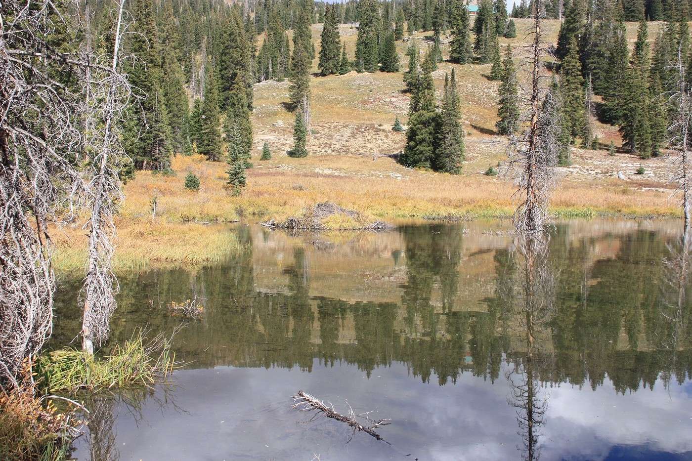
We didn’t see any beavers, bummer!!!
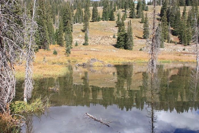
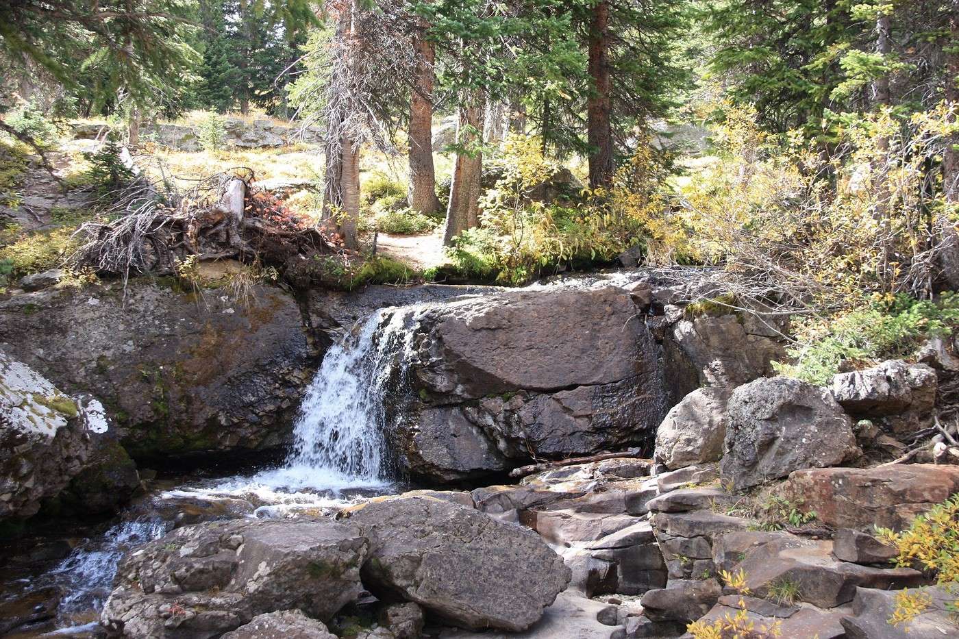
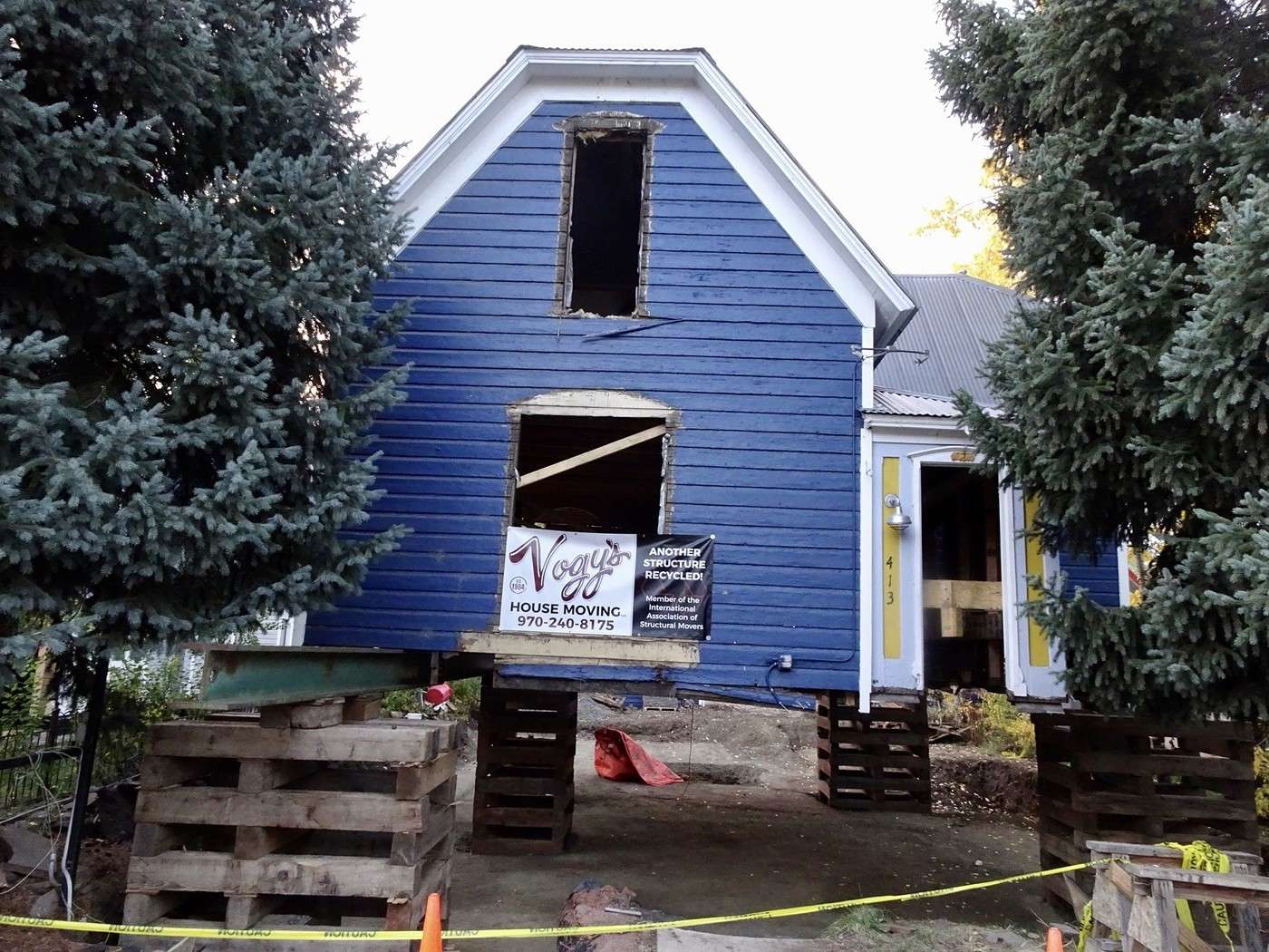
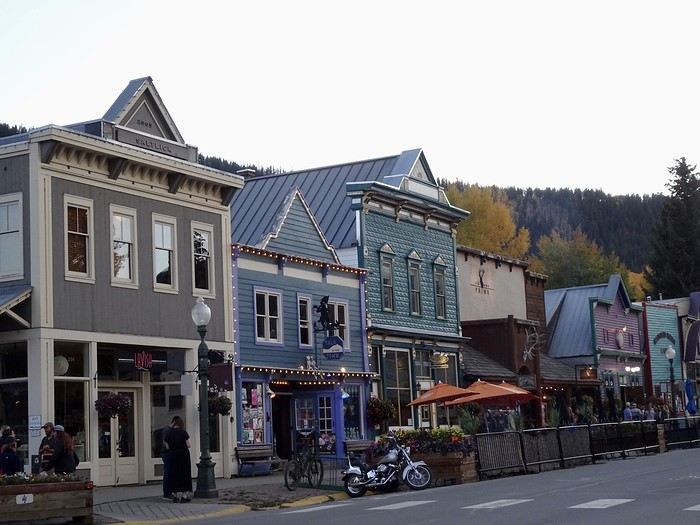
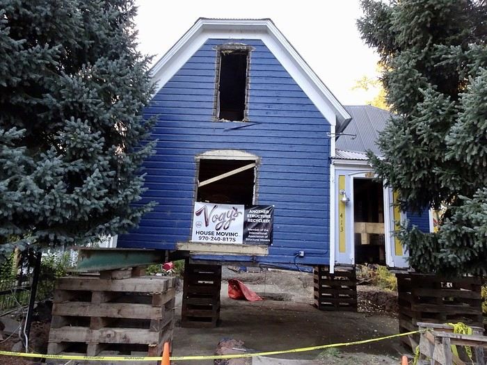
The walk is easy, and the 45-minute loop is nice, but I’m not sure it’s worth the detour—especially since, even though it’s drivable, the bumpy road leading there isn’t great!!! For those who want to see the tiny waterfall, it’s not far from the parking lot in a clockwise direction. Last photos of Crested Butte and its little houses. We even saw a house being dismantled to be moved elsewhere! Great meal at the Bruhaus restaurant (though I can’t remember the price). Tomorrow, off to Glenwood Springs!!! We’ll take the Kebler Pass again for our enjoyment
VoyageForum — the largest community of French-speaking travellers.