A summer in the sun in... Iceland!!
We weren’t so lucky with the volcanic eruptions—just three weeks after we got back, another one happened! We would’ve given anything for a photo like your avatar 😇!!
More to come...
This thread has been translated into English.
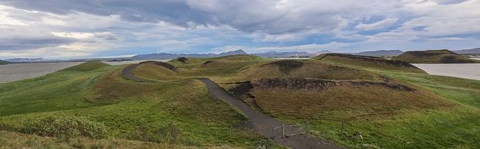 You could have fun climbing up and down these pseudo-craters covered in moss, but the wind blowing so hard it could knock the horns off a bull doesn’t exactly encourage us to linger!
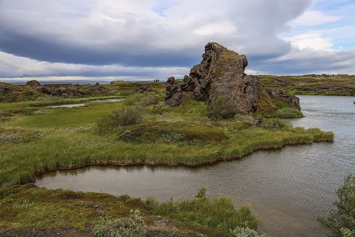
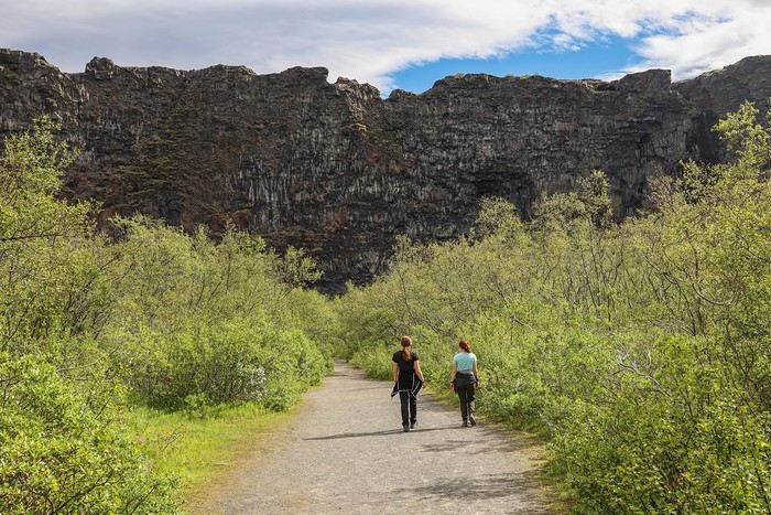
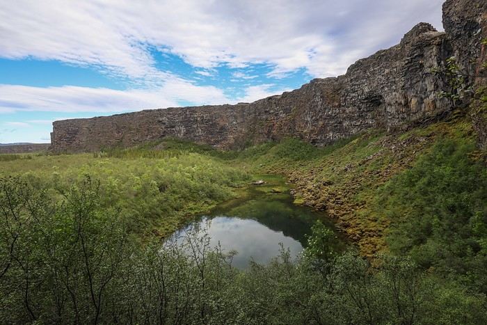
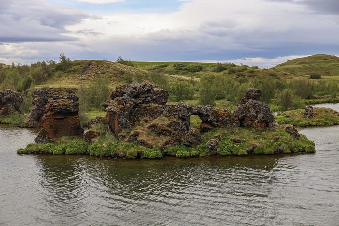 It’s possible to walk around the peninsula via a small hiking trail. Even though this might seem common in Europe, seeing trees in Iceland is actually pretty rare!
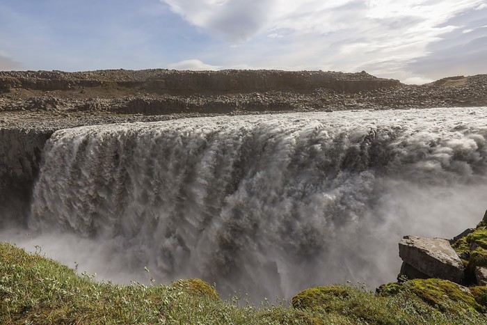
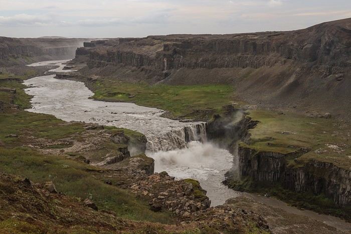
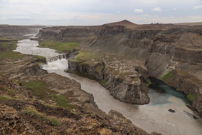
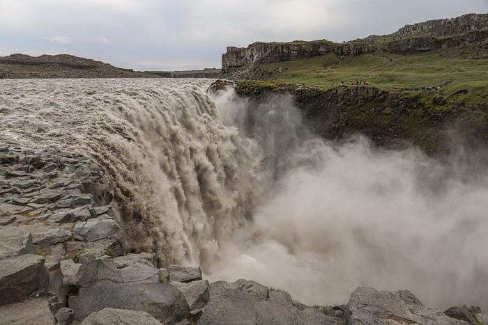
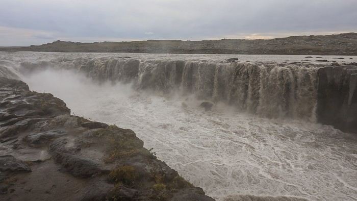
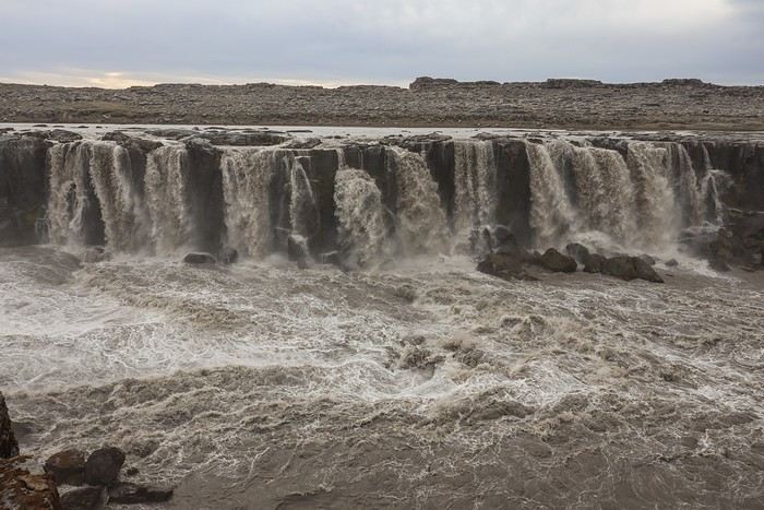
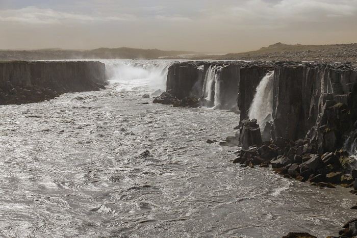 We’re all tempted to head straight to the majestic Dettifoss, known as Iceland’s—and even Europe’s—most powerful waterfall. At 44 meters high and 100 meters wide, the falls have a flow rate of 500 m³ per second in summer, when the flow is at its strongest.
 Following the trail south towards Selfoss, the wind doesn’t let up... we’re eating sand over and over, and woe to those without sunglasses. Even squinting, the poor souls end up in tears...
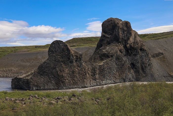
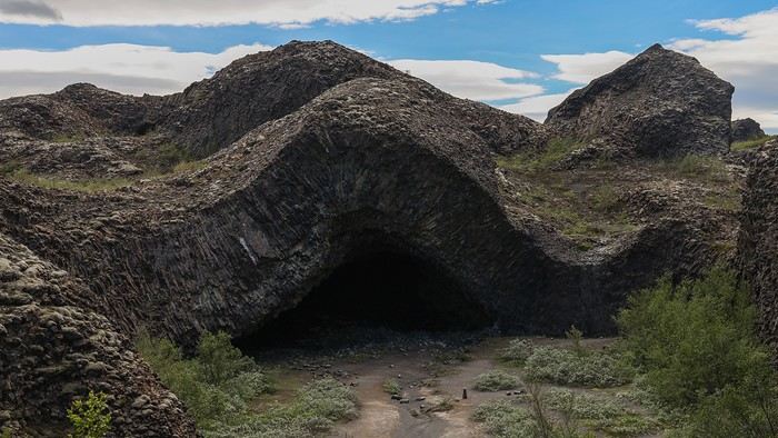
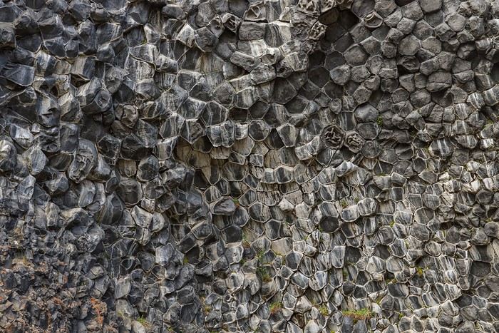 Volcanic chimneys and other basalt columns follow one after another
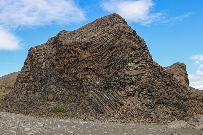 until we reach Kirkjan in Hljóðaklettar, a cave-like formation and the main highlight of the hike. You can just imagine the pressure that caused this lava flow to lift...
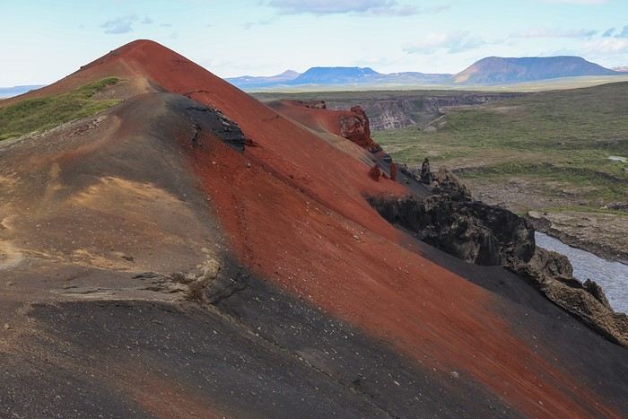 It’s now forbidden to venture further to avoid damaging the site and keep the slopes free of footprints.
The return is via another path, much less steep and quicker.


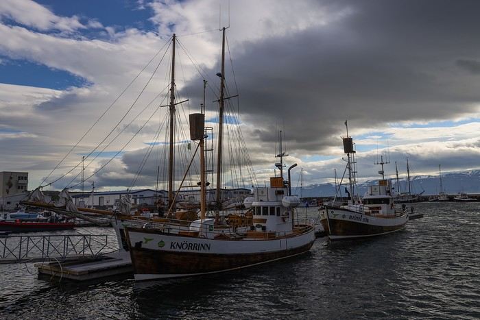
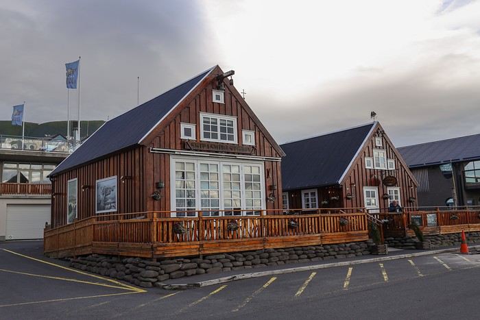


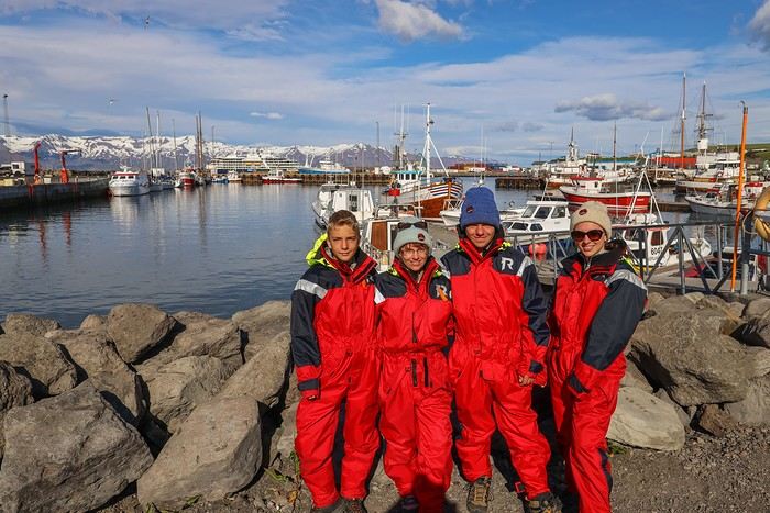
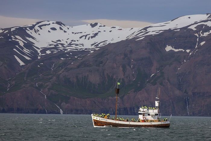
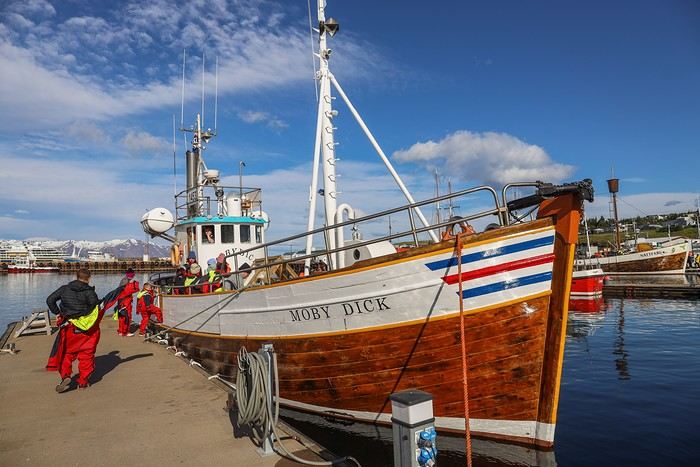 As the boat’s name suggests, we chose the tour operator "Friends of Moby Dick."
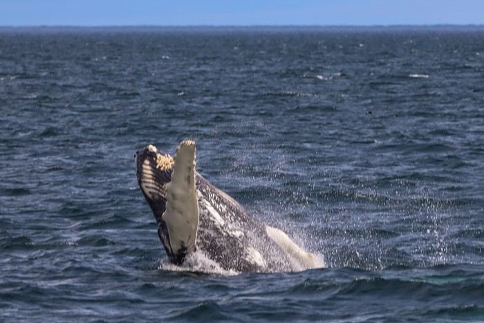 The whale treats us to several jumps out of the water. I just manage to capture it—😇 😇!
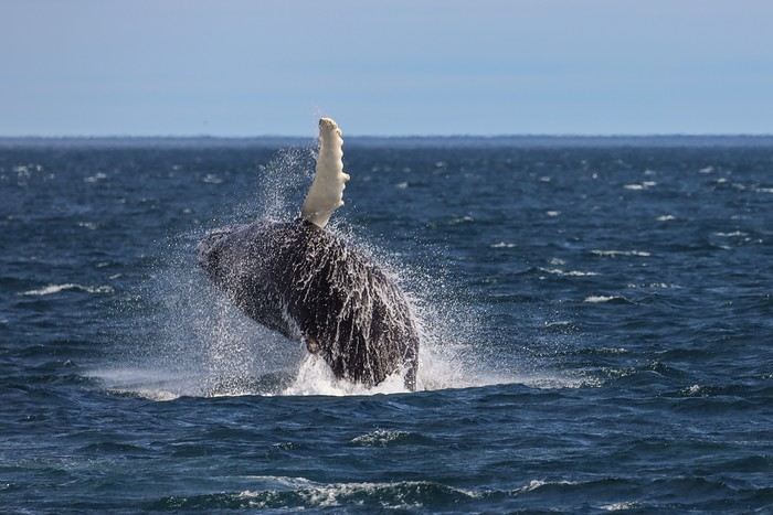
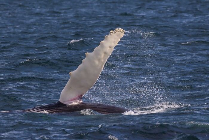
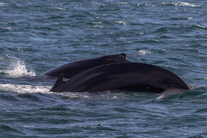
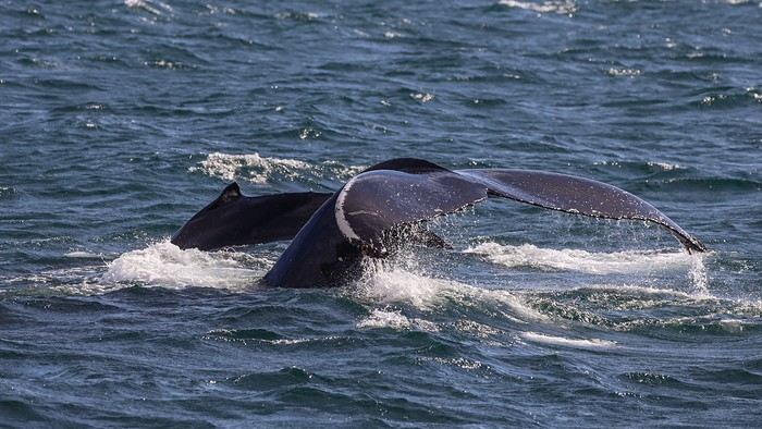 After about an hour spent with this pair, with the guide’s excited exclamations keeping everyone’s attention, we think we spot a huge shape in the distance. The boat’s captain hurries to approach another boat.
 A few minutes later, we see a massive blue-gray shape emerge from the water. No doubt about it—it’s a blue whale, the largest mammal on the planet!
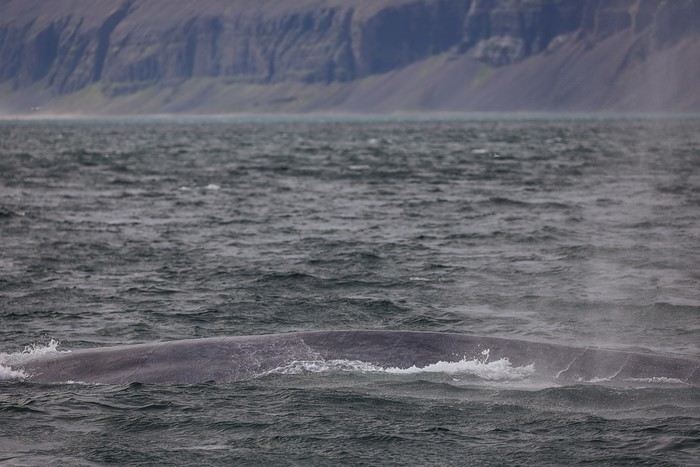
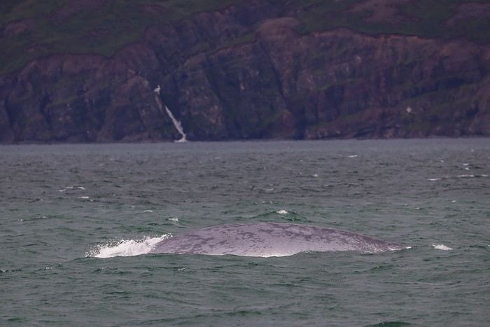 The big challenge with blue whales is that they stay underwater for a good 15 minutes without coming up for air. So it’s a bit of a lottery to be near the spot where they’ll resurface. Every time they come up, there’s a big cheer from the crowd, the captain guns the engine to get closer, a few mediocre zoom shots are taken from too far away, and then another 10-15 minute wait...




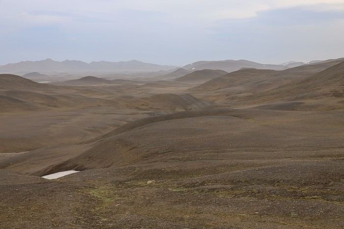
 to take the F910. We drive at a reasonable distance behind a Landcruiser that lets us pass to snap a few photos.
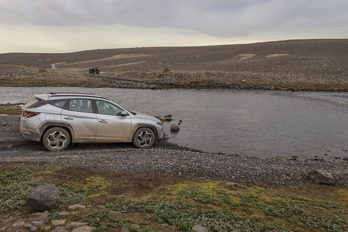
 The first river crossing is a simple formality. However, the second one, about 30 km from the campsite at the start of the track, is deeper.
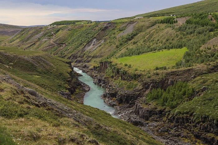 Here are the first basalt columns lining the turquoise-blue waters of the Jökla River!
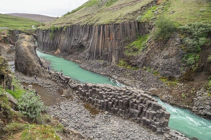 The most incredible part? This canyon was completely unknown in 2017... It was only after the 2009 construction of the Hálslón reservoir and the massive Kárahnjúkar hydroelectric plant further south that the basalt columns, previously underwater, were revealed!
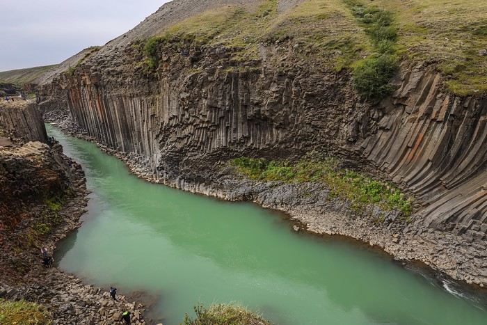 We can’t get enough of these basalt columns from every possible angle!
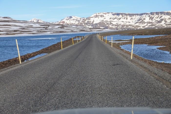 While most drivers speed along the road, we prefer to wander near a lake still partially frozen and covered in ice sheets. What a country!!
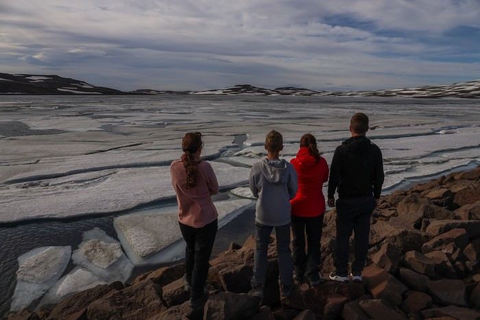 A little further, another lake, another scene!
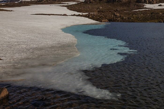


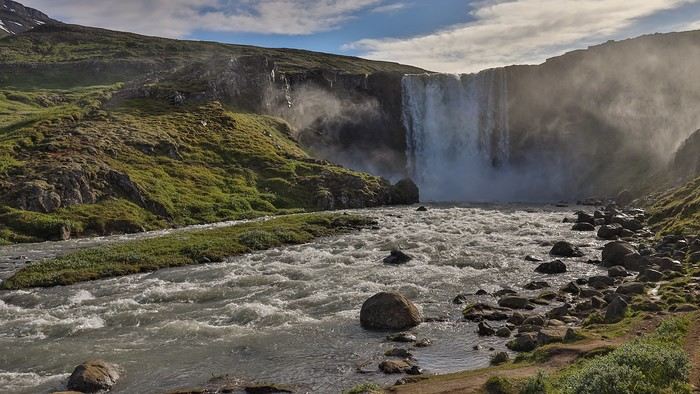
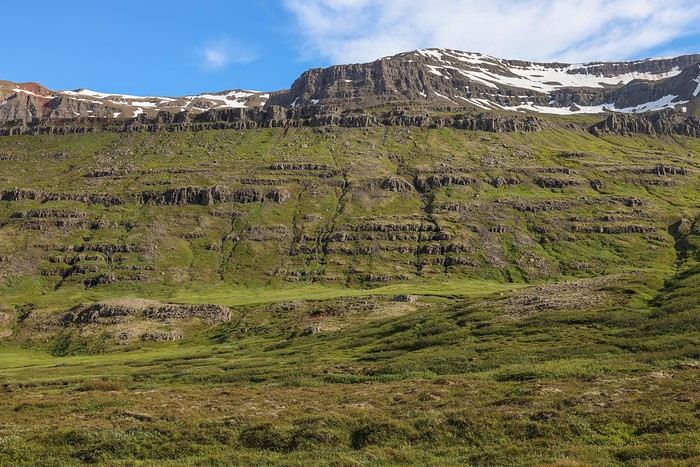 but especially to the stunning Gufufoss waterfall, sending up its plume of mist amid the greenery!
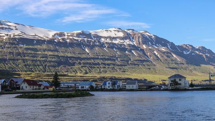 Tourists were sitting at outdoor terraces enjoying a drink, kids were playing in the green spaces, and Icelanders were having fun canoeing on the Lónið, a small lake that connects the river to the ocean...
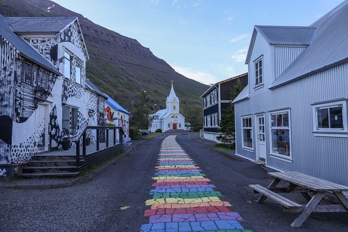
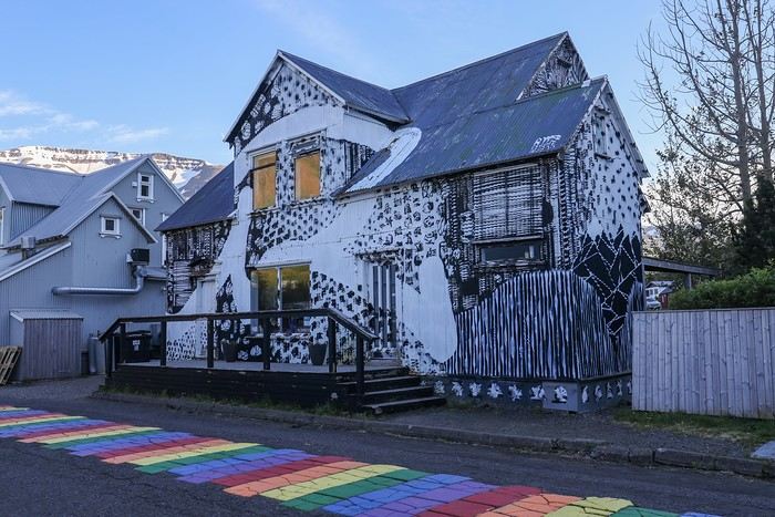 What to say about this end of the day... We were supposed to camp by Lake Askja and would have likely slept under a gray, overcast sky. But Iceland’s incredible variety in scenery, atmosphere, and landscapes made this backup evening in such a charming spot so enjoyable—almost making us forget the missed rendezvous with the volcano...


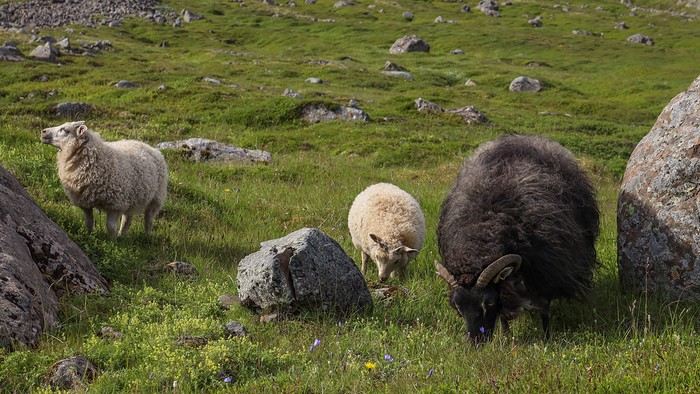
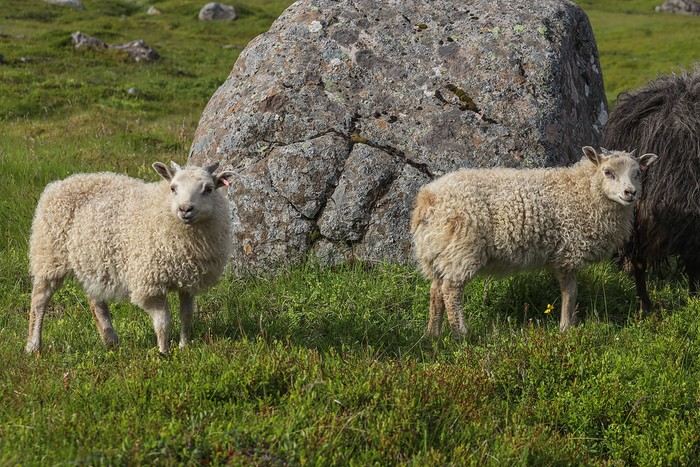 Then we decide not to risk crossing a ford just a short distance from the end of the track, and turn back promptly—today, we’re hoping to spot our first puffins of the trip!
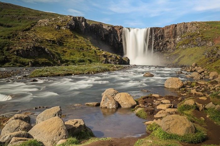
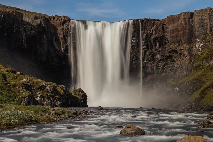 One last glance at the fjord,
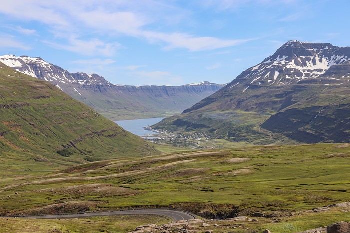 and we head back to Egilsstadir, pass the garage again, and take the road north.
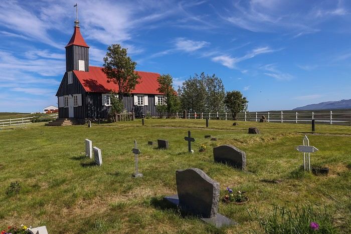
 The second is Kirkjubæjarkirkja, a black-painted church with a red tin roof, completely isolated in the middle of nowhere. There’s not a soul for miles around.
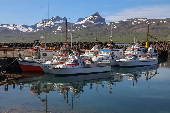
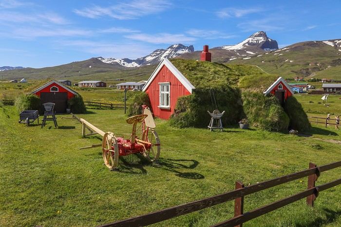 And here we are at Borgarfjarðarhöfn harbor,


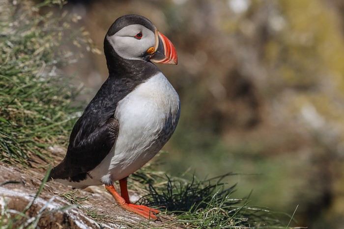
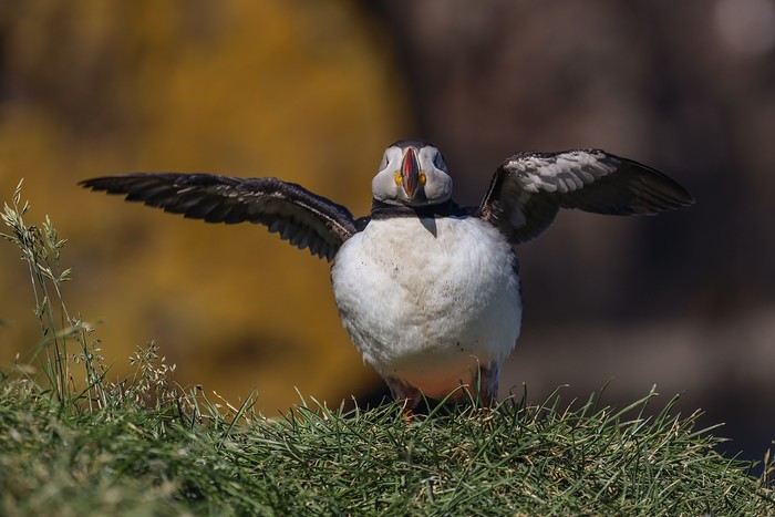
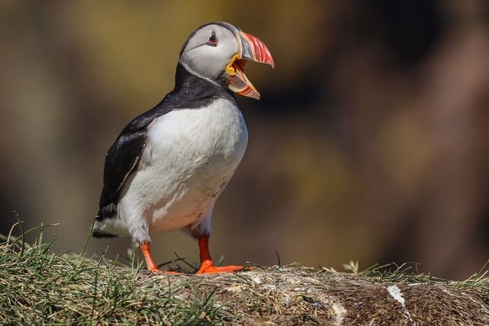 These birds are hilarious and not at all shy—some even come within a few dozen centimeters of us without fear.
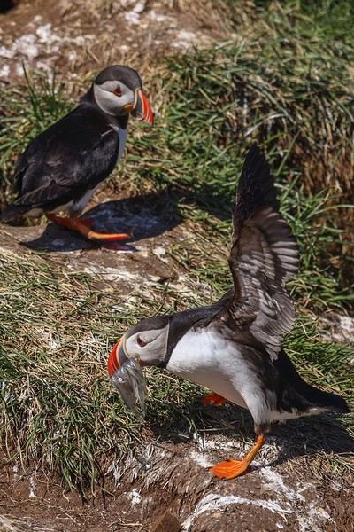 This was the first time I realized how limited my camera is. I don’t know if it’s the body or the speed of the lens’s autofocus, but I could barely get a sharp shot. Oh well, let’s just say the puffins are too hyper... 🏴☠️
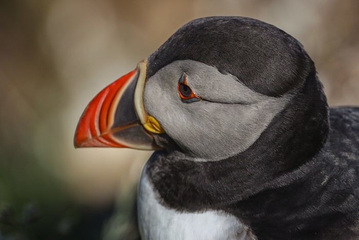
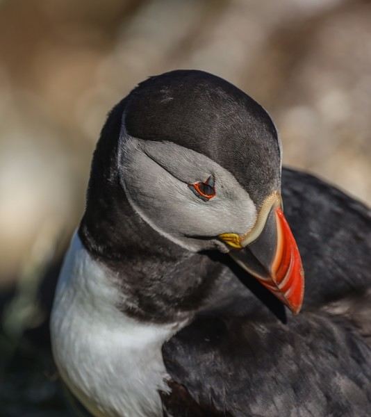
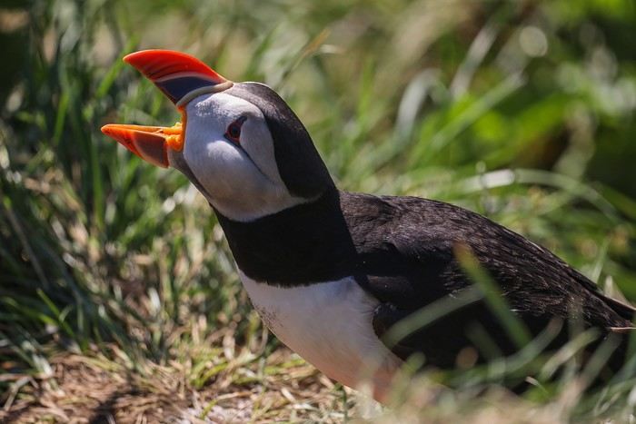
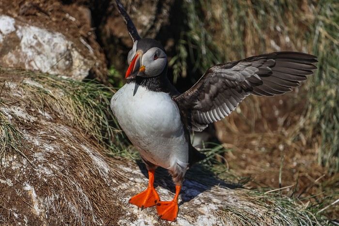 After an hour and a half of observation, we tear ourselves away from this magical place—definitely one of our best travel memories! !


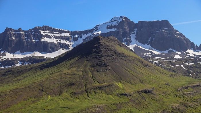 What a view of the coast!
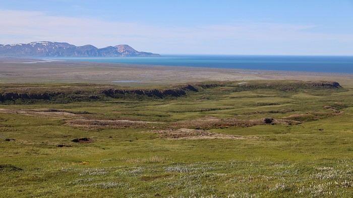 Some waterfalls have a stronger flow and are trickier to cross.
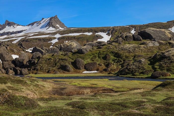 Once there, the loop winding around the lakes and mountain rivers with its meanders is just breathtaking!
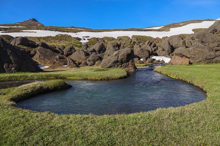 The last few hundred meters to reach Stórurð Lake feel really long—our legs are already tired. Some areas are still quite snowy.
The huge rock formations become more and more frequent; we’re almost there 🙂
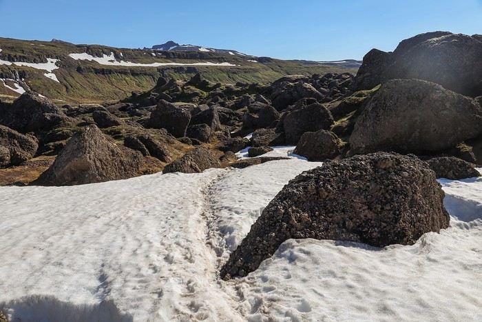
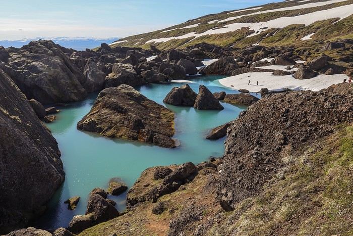 The view is stunning 😎, leaving us speechless. Stórurð is undoubtedly one of the hidden gems of the Eastfjords, and we know we’re incredibly lucky to enjoy it under a clear blue sky and in T-shirts !!
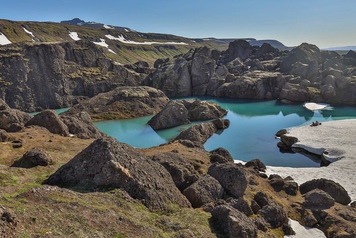 The light and color of the lake change as we get closer.
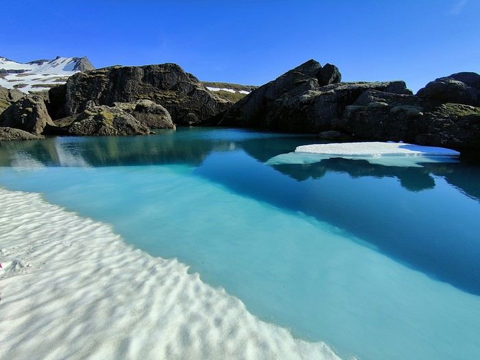
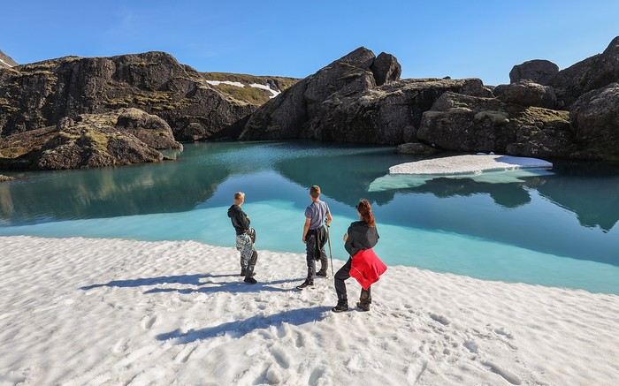 We could easily spend hours just gazing, but it’s 6:10 PM, and if we want to have dinner at a pizzeria in Egilsstaðir, we’d better get moving on the way back...
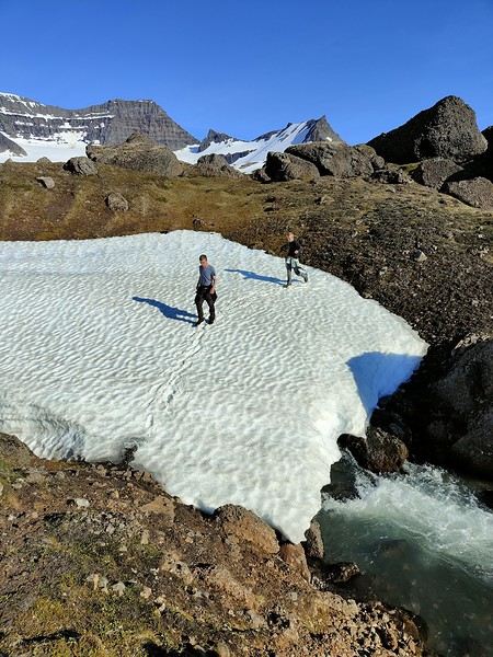 On the way down, the same green meadows, marshy areas, small ponds, and waterfalls, but we don’t take much time to stop—our stomachs are growling.


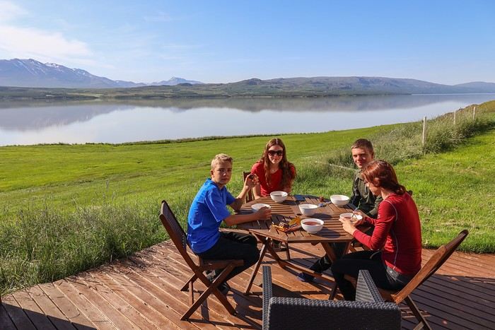 In the area, there are two remarkable waterfalls: Hengifoss, which faces east (so best in the morning), and Strutsfoss, which faces west (planned for this evening if we feel like it).
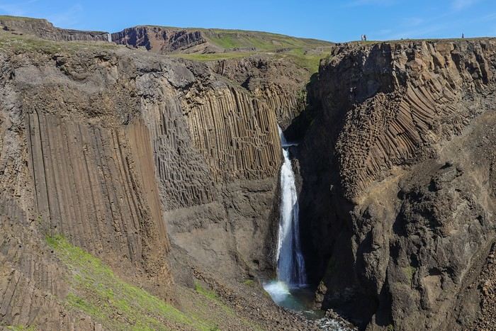 Then, after a steady and easy climb, Hengifoss revealed itself—a 120-meter waterfall set in an amphitheater of red and black rock strata!
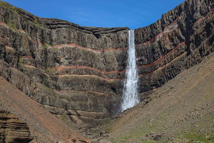 The descent gave us a chance to enjoy some gorgeous views!
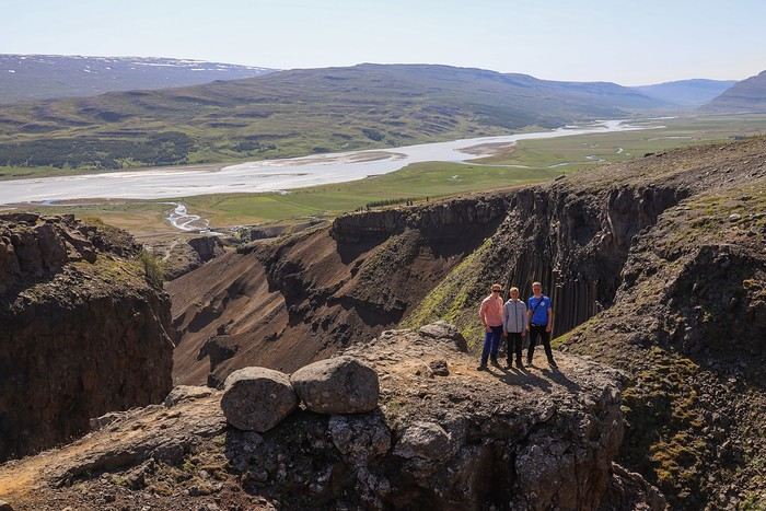
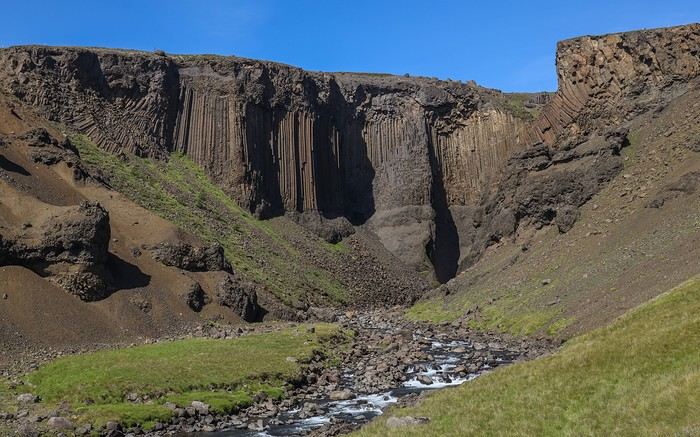 After Seyðisfjörður Fjord, the second fjord I absolutely wanted to visit was Mjóifjörður—a remote, little-known, and therefore barely visited spot!
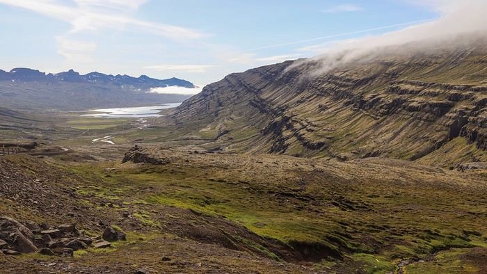
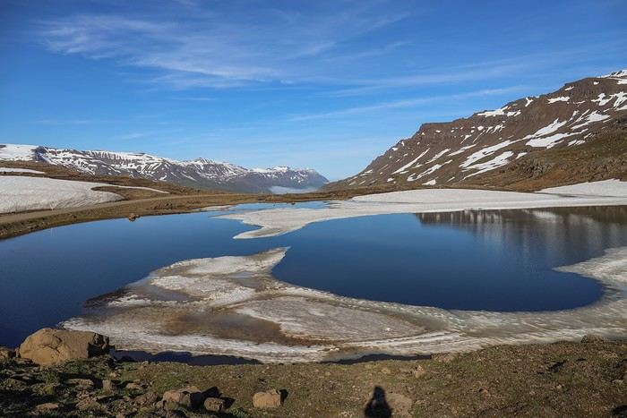 As soon as we crossed to the other side, we were treated to an absolutely breathtaking panorama of the fjord!!
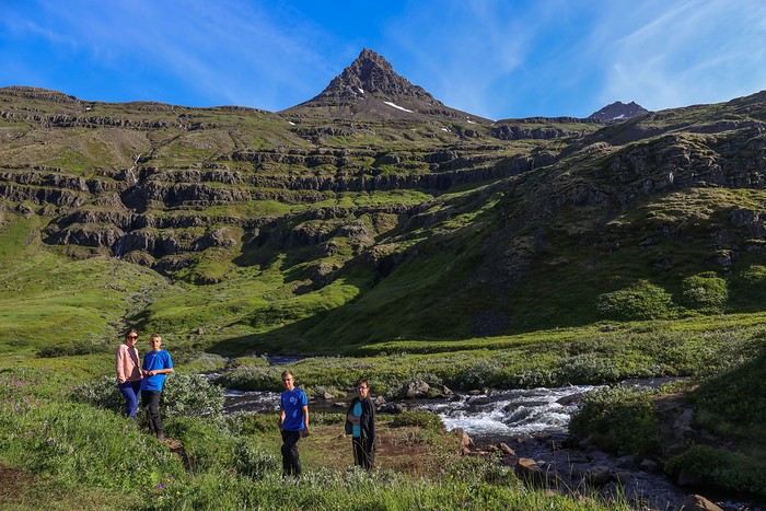
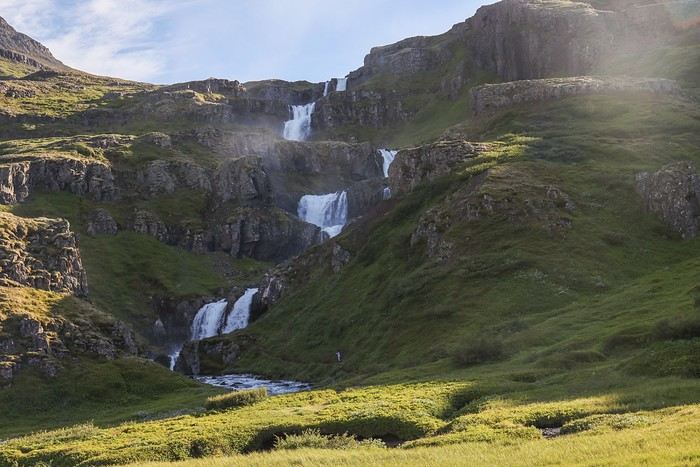
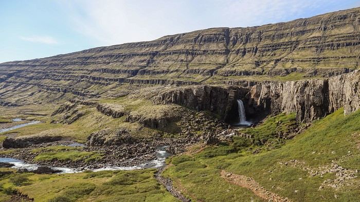
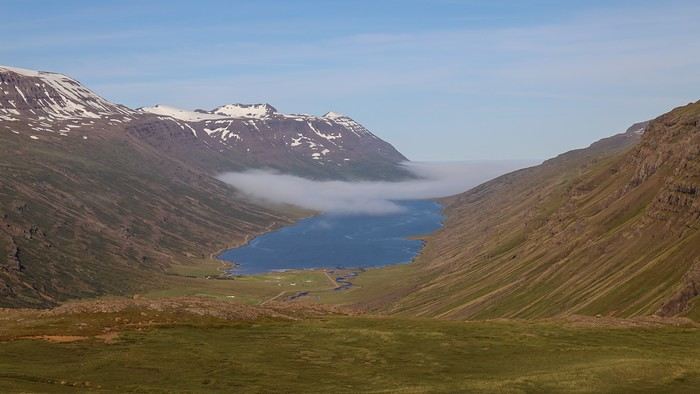 We drove through beautiful meadows, with lingering snow patches and several waterfalls cascading down the mountains. The narrow dirt road wound down the pass into the fjord after an impressive number of switchbacks.
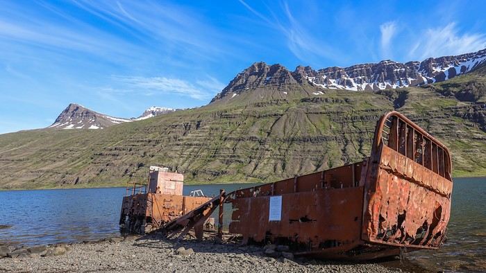
 Once we reached the edge of the fjord, we easily spotted the wreck of an old boat that’s been stranded since 1966 and rusting ever since.


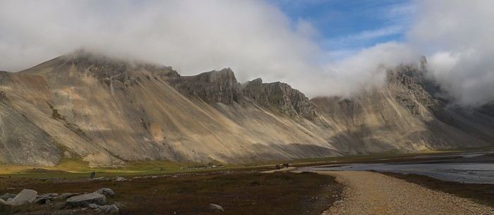
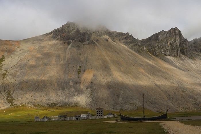
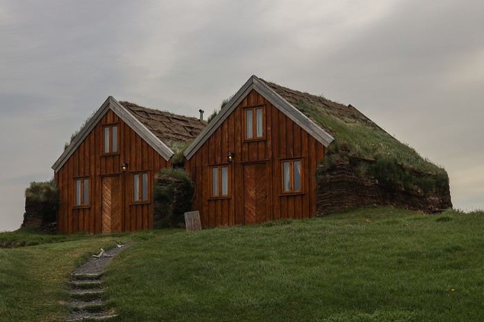
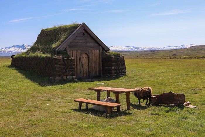
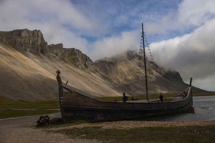 The visit is pretty quick—all the Viking village buildings are, logically, still in great condition.
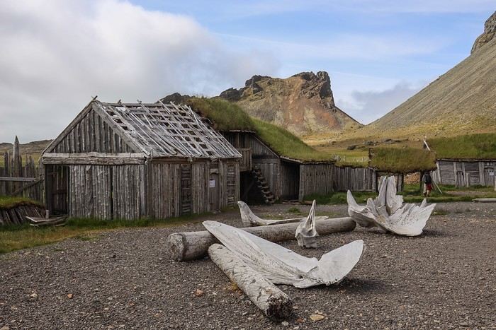
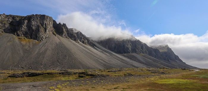
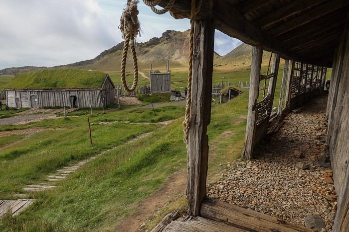 Next, we head toward Stokksnes Beach, one of Iceland’s most beautiful, with its black sand dunes.
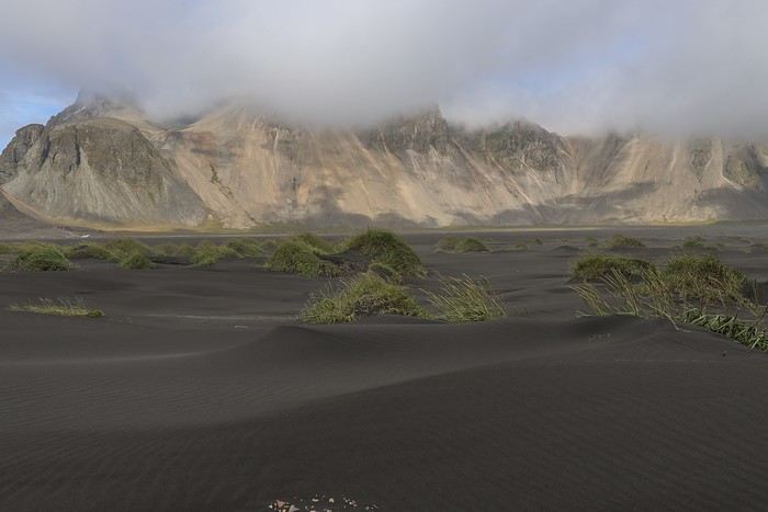
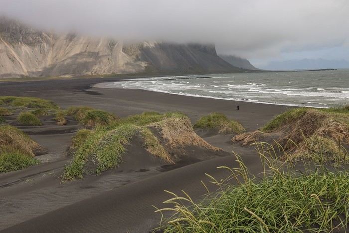 There are several hiking trails that offer different angles of Stokksnes with Vestrahorn Mountain in the background. But the wind is strong and cold, making the walk less enjoyable.


VoyageForum — the largest community of French-speaking travellers.