Back to the discussion

in Entre deux voyages › Carnets de voyage

Veneto: Dolomites and Opera (page 2 of 2)

Discussion started by Valmichel86 on 2026-01-31

35 replies

This thread has been translated into English.


Veneto: Dolomites and Opera

Valmichel86 · 2026-02-15 · Message 21 of 36

Hi Noëlle, I’ve added the elevation gains (D+ and D-) for each hike (unless I forgot any). I think it’s more precise than just saying how it *feels* (easy or hard). In the Dolomites, there are ski lifts that run in the summer; you’ll need to check if they serve hikes that might work for you.

The next hike (the "Cinque Torri" – the five towers) is accessible via a chairlift that takes you close to the site. Getting around the site itself, though, isn’t flat at all: the trails go up and down quite a bit.

Veneto: Dolomites and Opera

Valmichel86 · 2026-02-16 · Message 22 of 36

Day 14: Wednesday, September 17, 2025

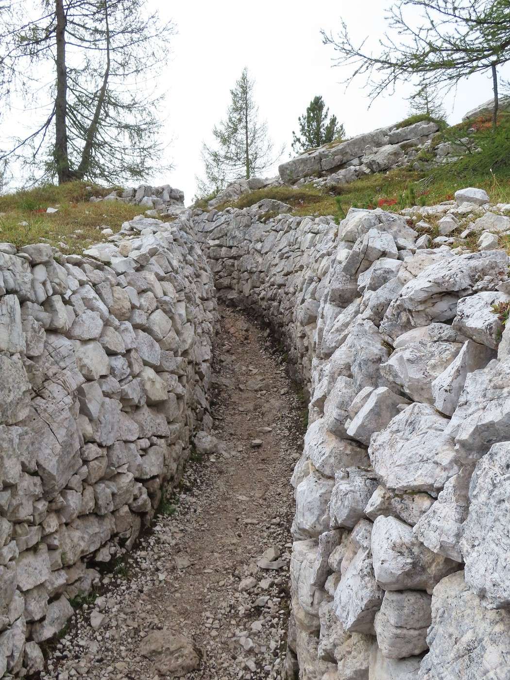
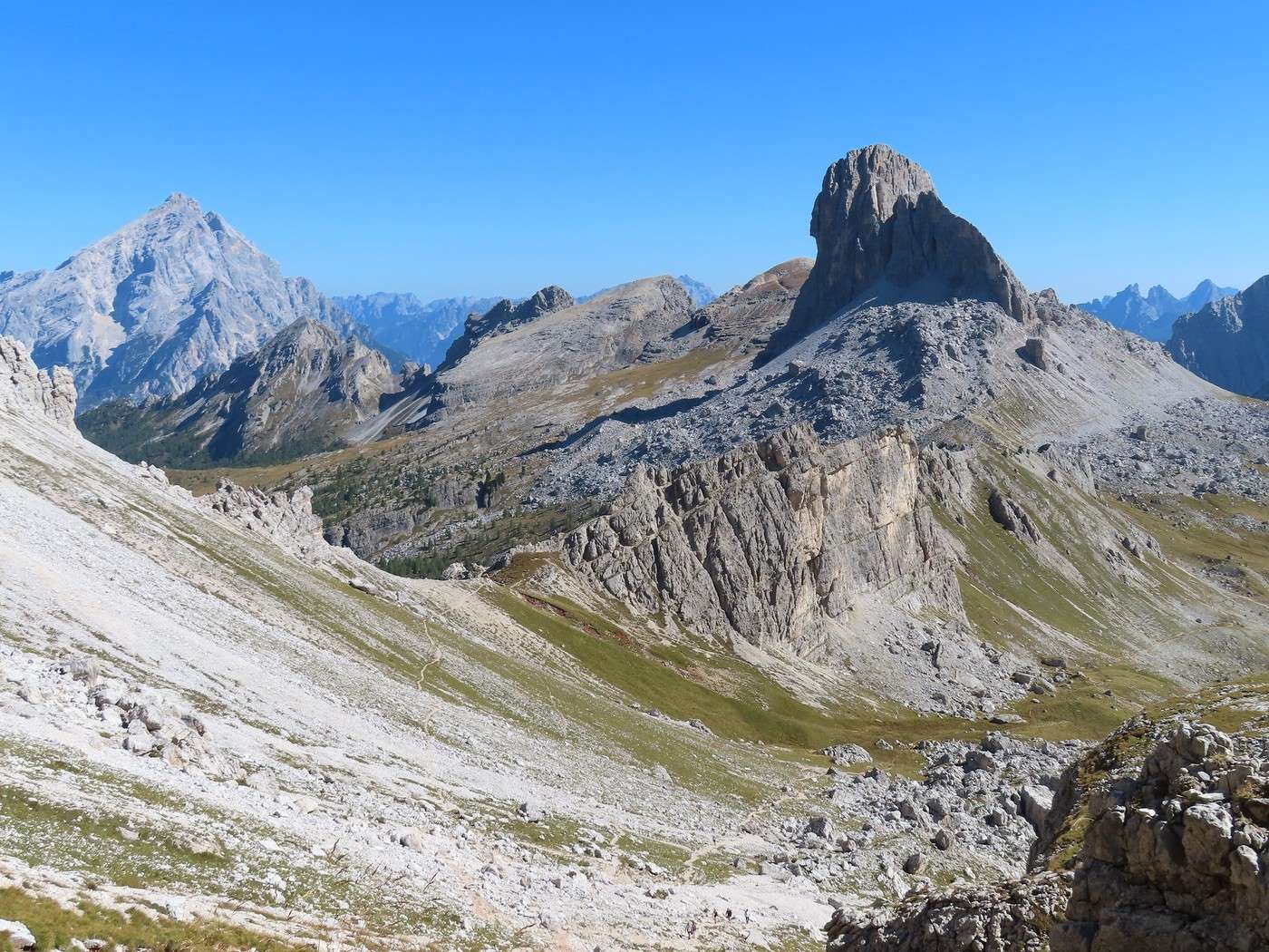
It’s the start of a period of gorgeous weather: bright sunshine, warmth at altitude making it perfect for hiking in a T-shirt. I want to do three more well-known hikes around Cortina d’Ampezzo. Today, the "Cinque Torri" (the Five Towers). I climb part of the Falzarego Pass until I reach a left-hand road that leads, after a few hundred meters, to a large free parking lot at the start of the "Cinque Torri" chairlift (you can’t miss it). We’re at the spot called "Bai de Dones." Since I’m here to hike, I skip the chairlift and take the classic clockwise route. The ascent trail is trail 425; the path starts off fairly flat, then begins to climb until it meets a road (gravel or paved—I can’t remember which) leading to the "Cinque Torri" refuge. There are a few rare views of the "Tofana di Rozes" since the trail and then the road are set in the forest. The trail leaves the road to turn right with a sign for "Trincee" (trenches). Shortly after, we reach the upper edge of the forest, and the climb continues through a trench.


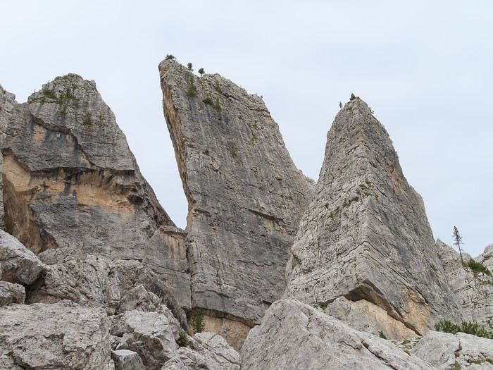
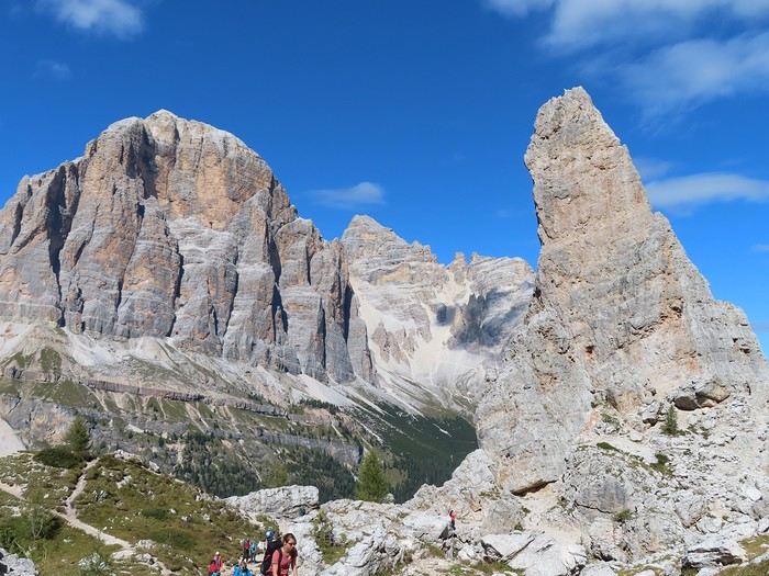
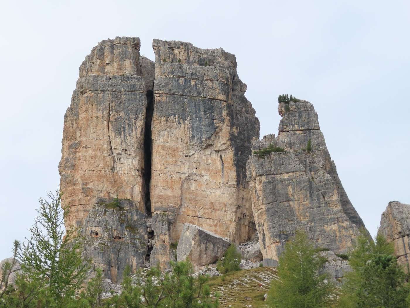
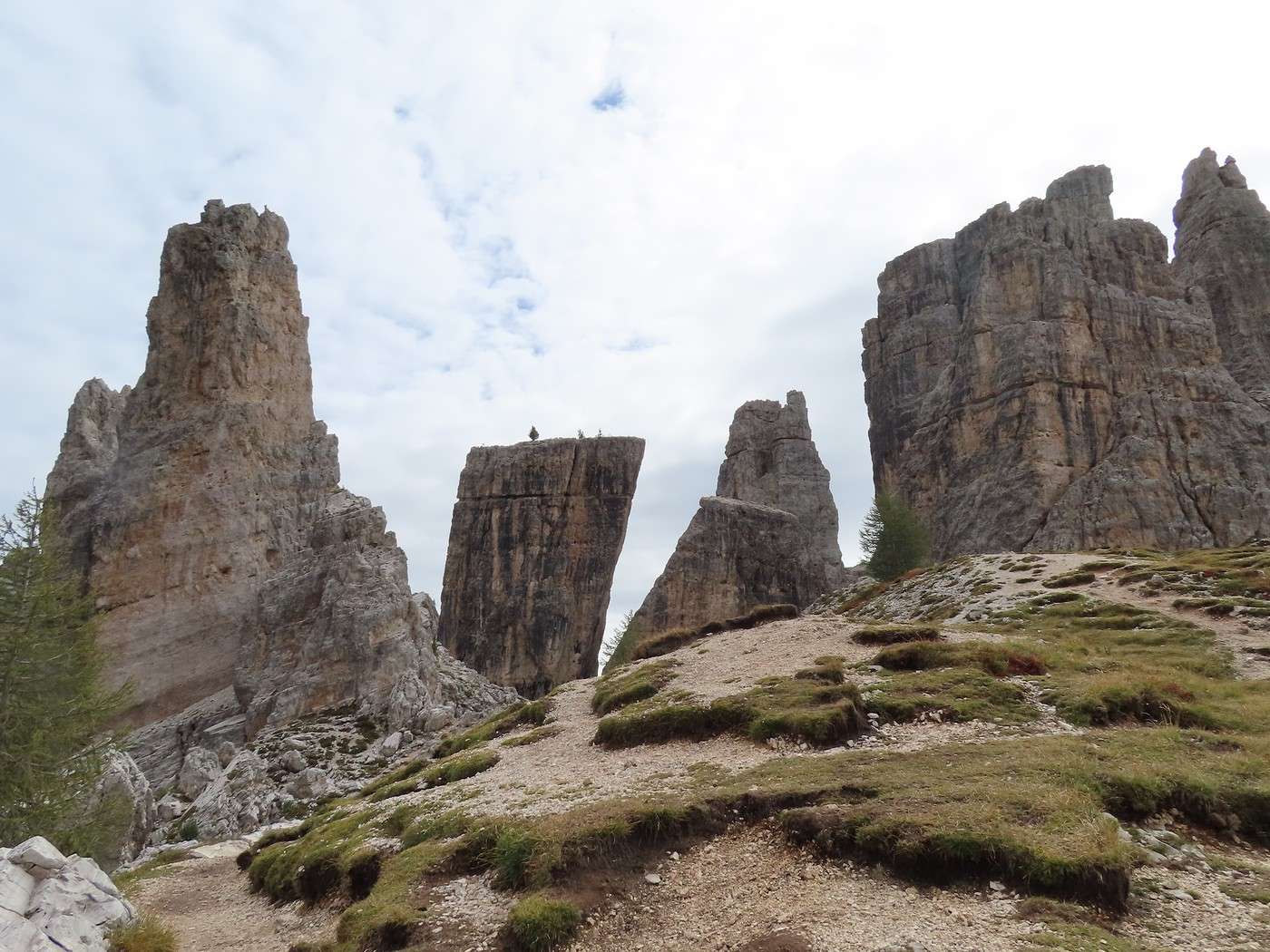
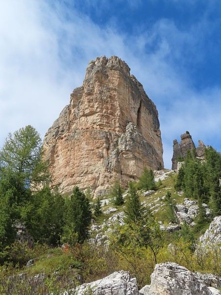
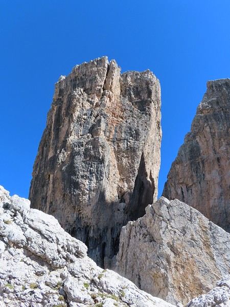
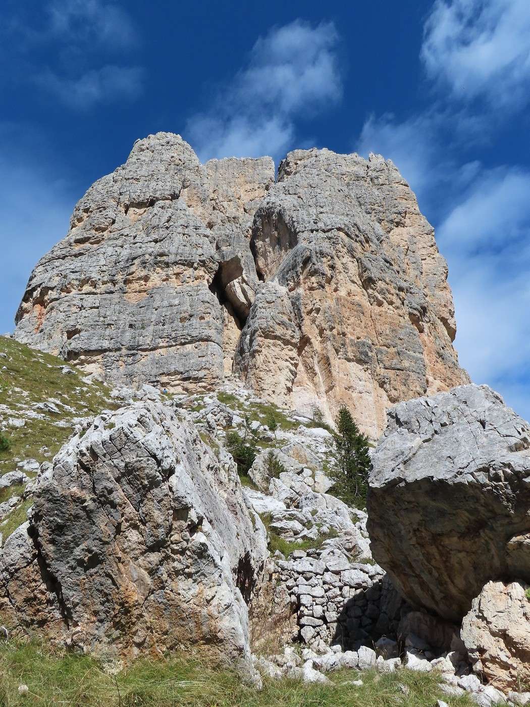
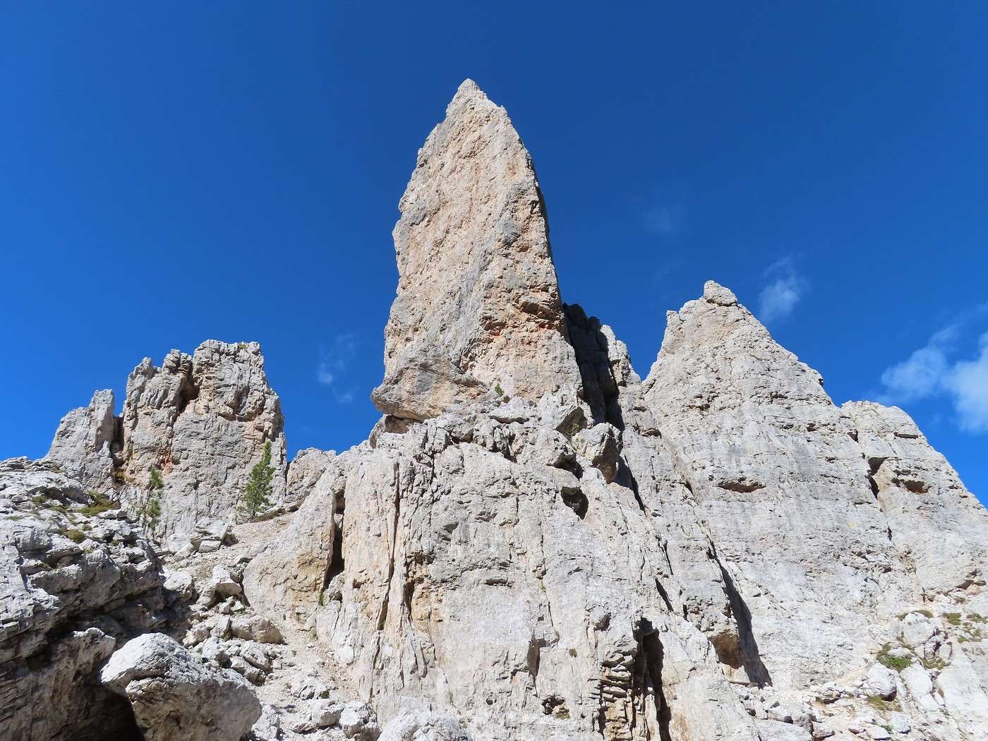
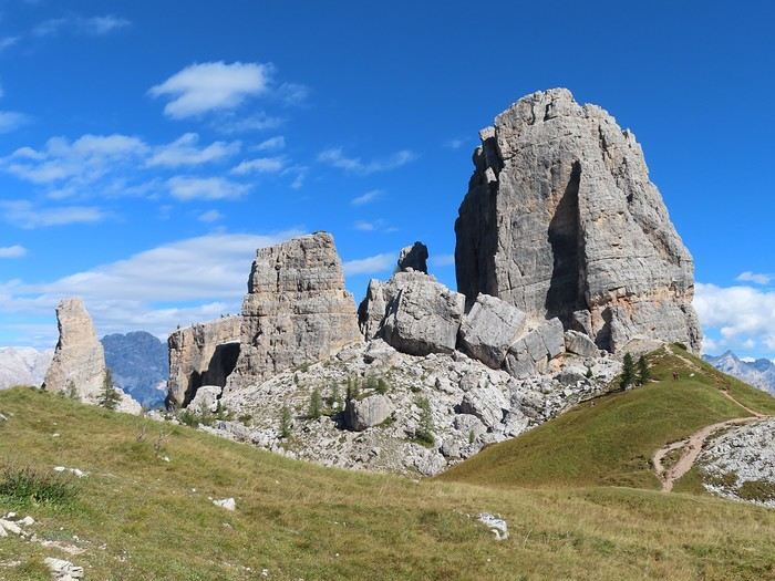
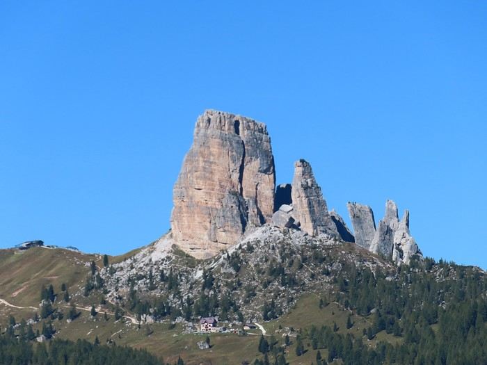
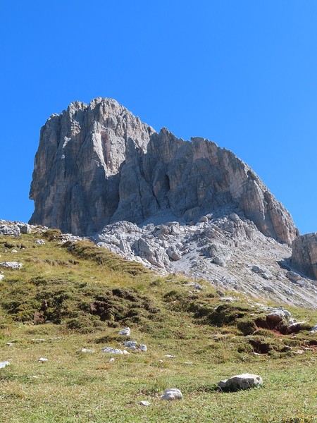
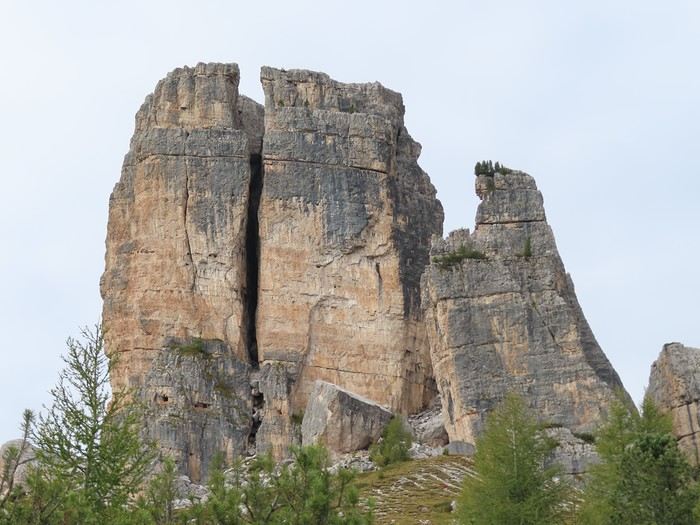
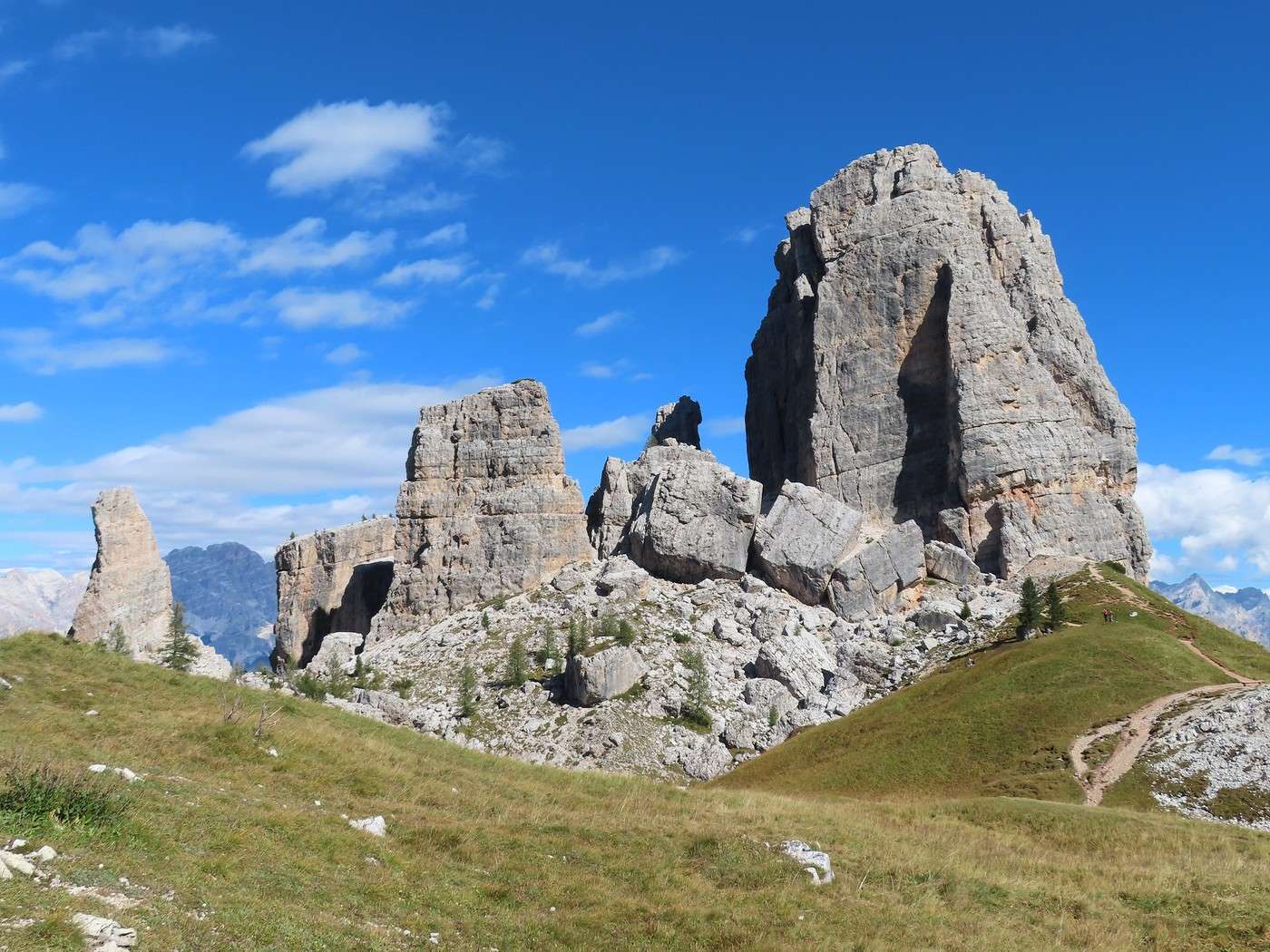
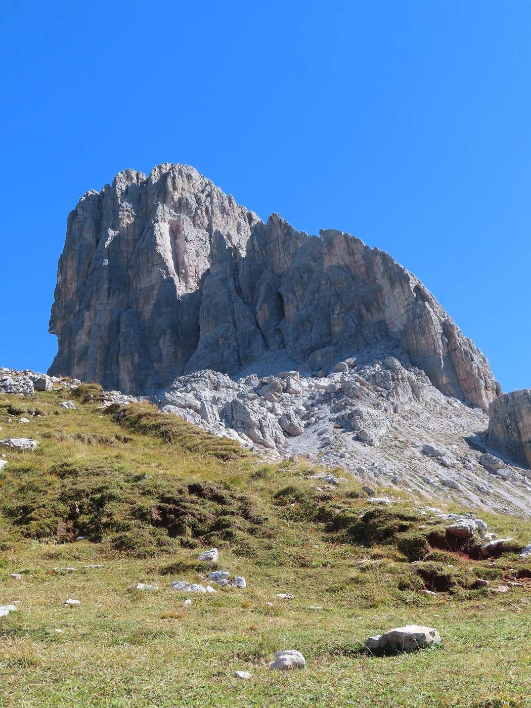
I quickly arrive at the foot of a tower. I should say I’m at the foot of two of the five towers: "Torre Grande" and, in the foreground, "Torre Barancio."


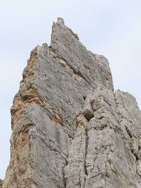
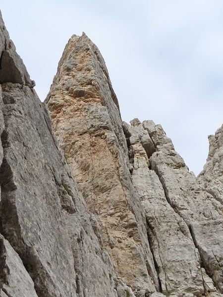
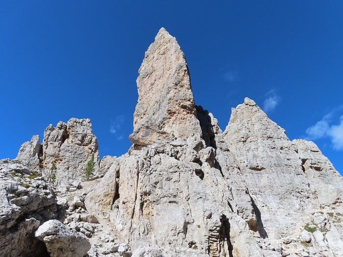
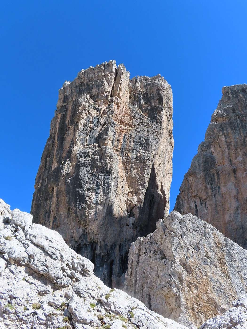
From this point on, I’m in the "Cinque Torri" area. In theory, there are two trails: the "giro delle torri" (tower loop) and the "sentiero delle trincee" (trench trail), but it’s a maze of paths winding through a labyrinth of towers. I navigate by instinct to cross the area and pass at the foot of many towers (way more than five).


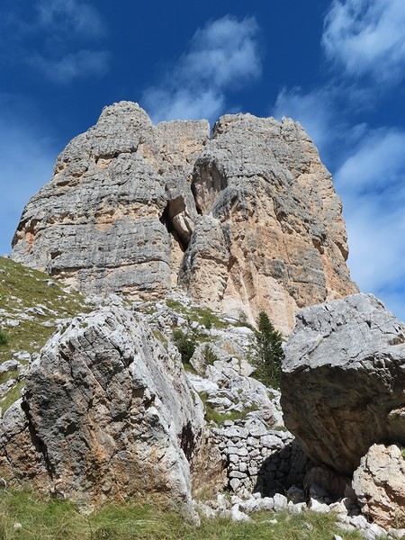
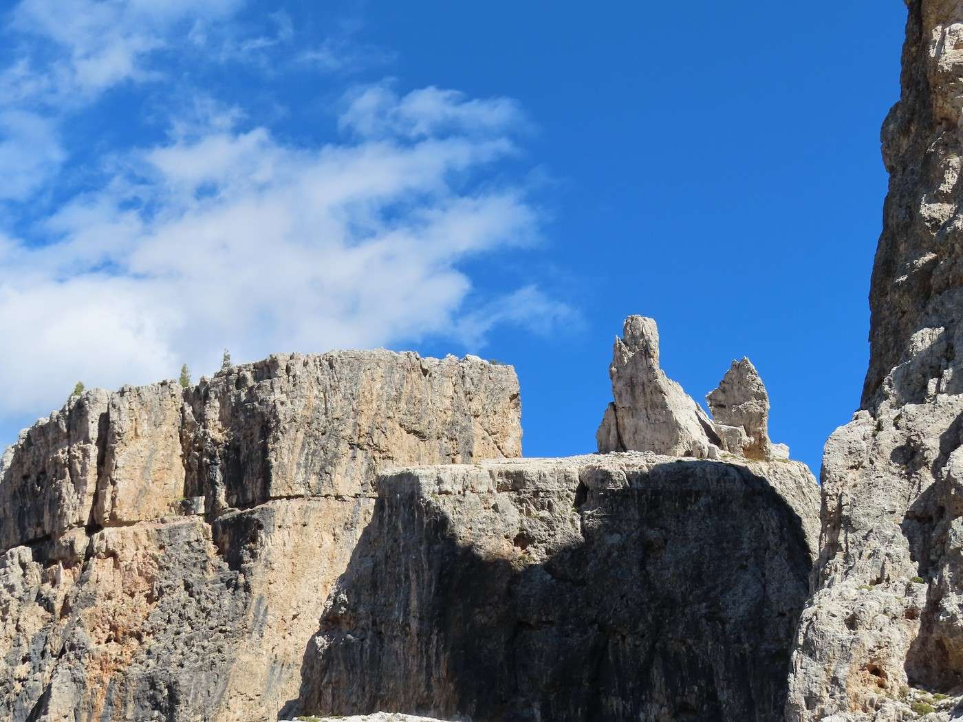
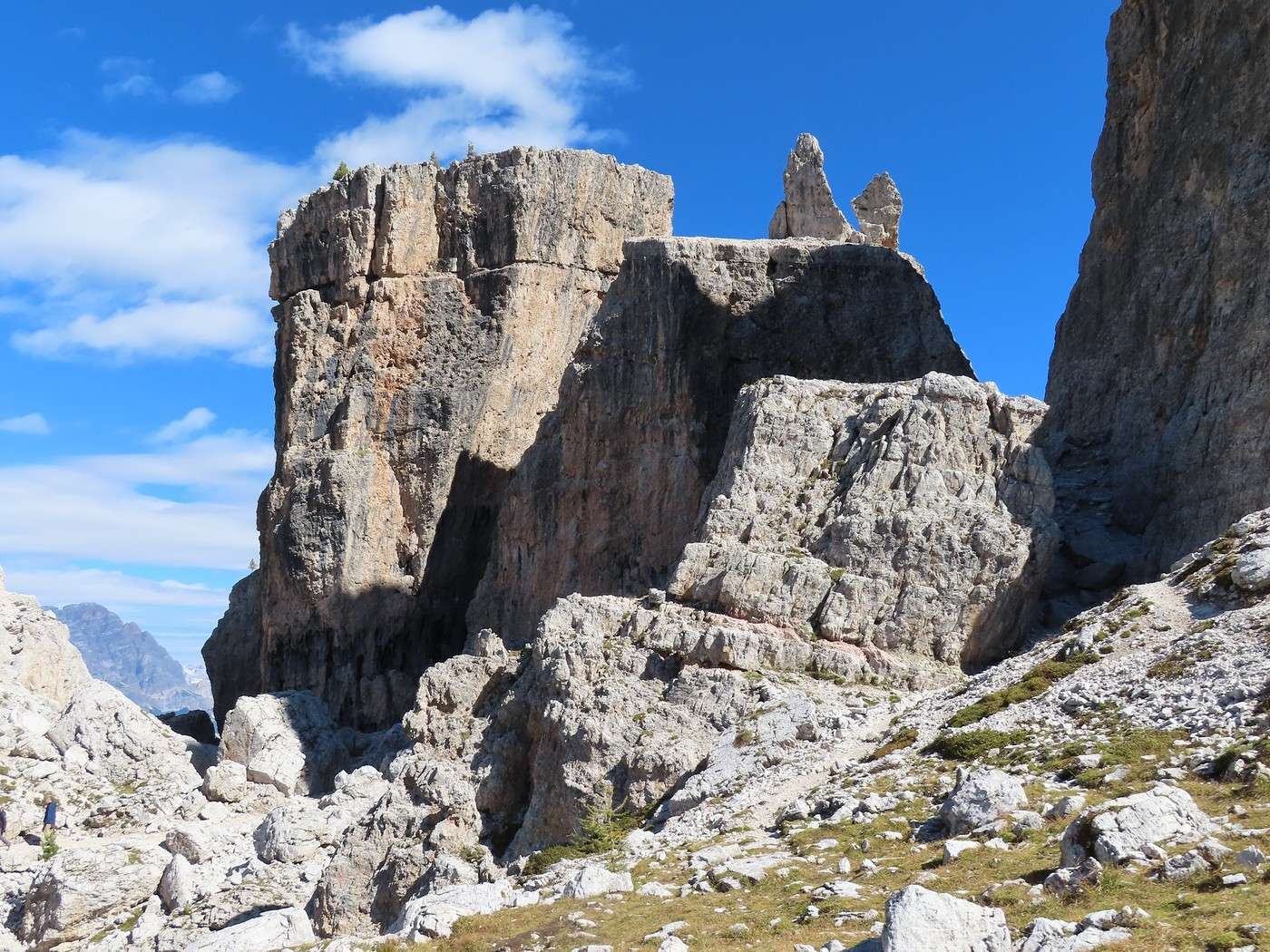
I’ll identify this tower a bit later.


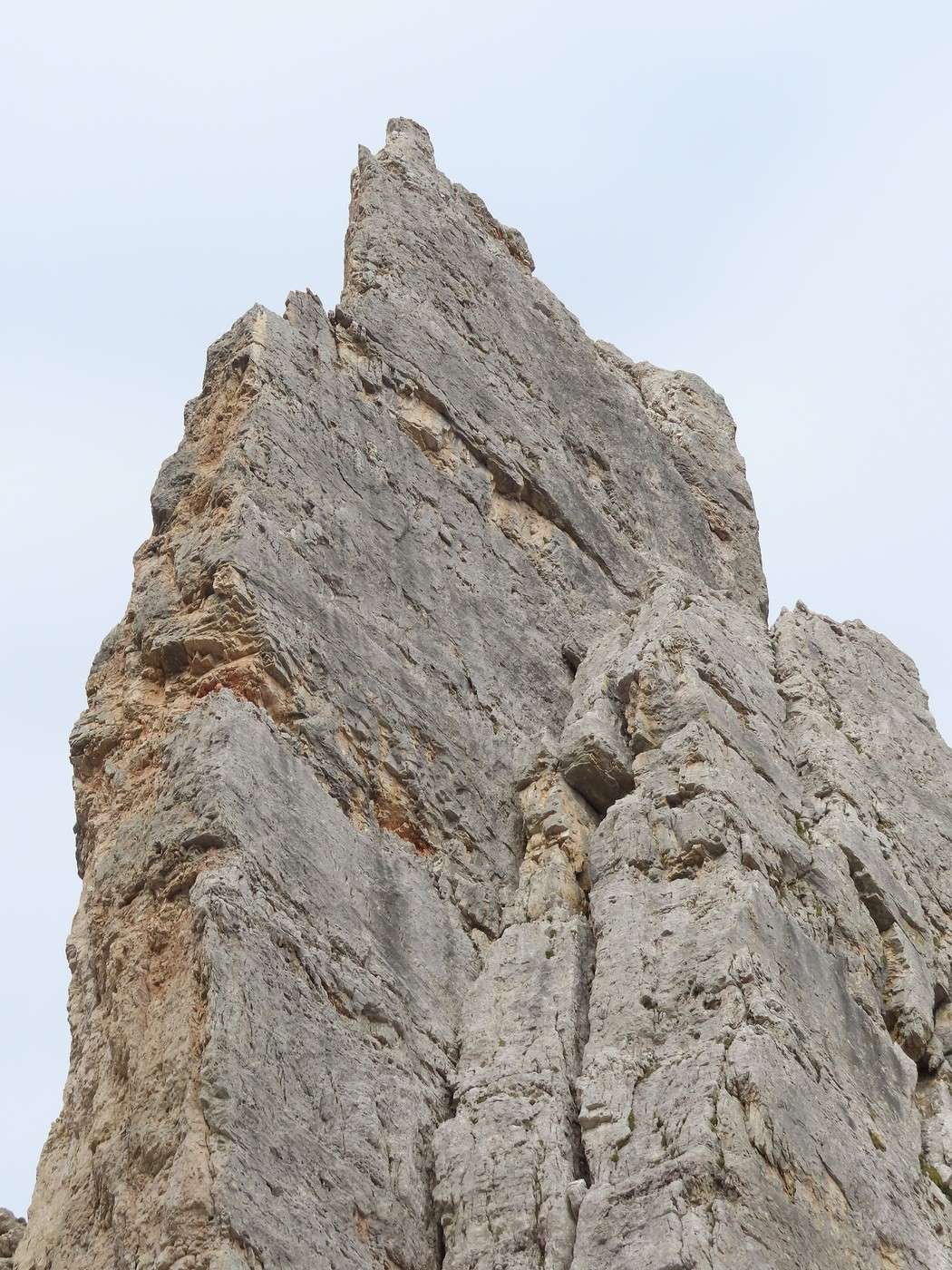
Here’s the same view from another angle.


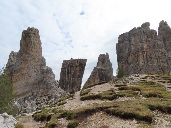
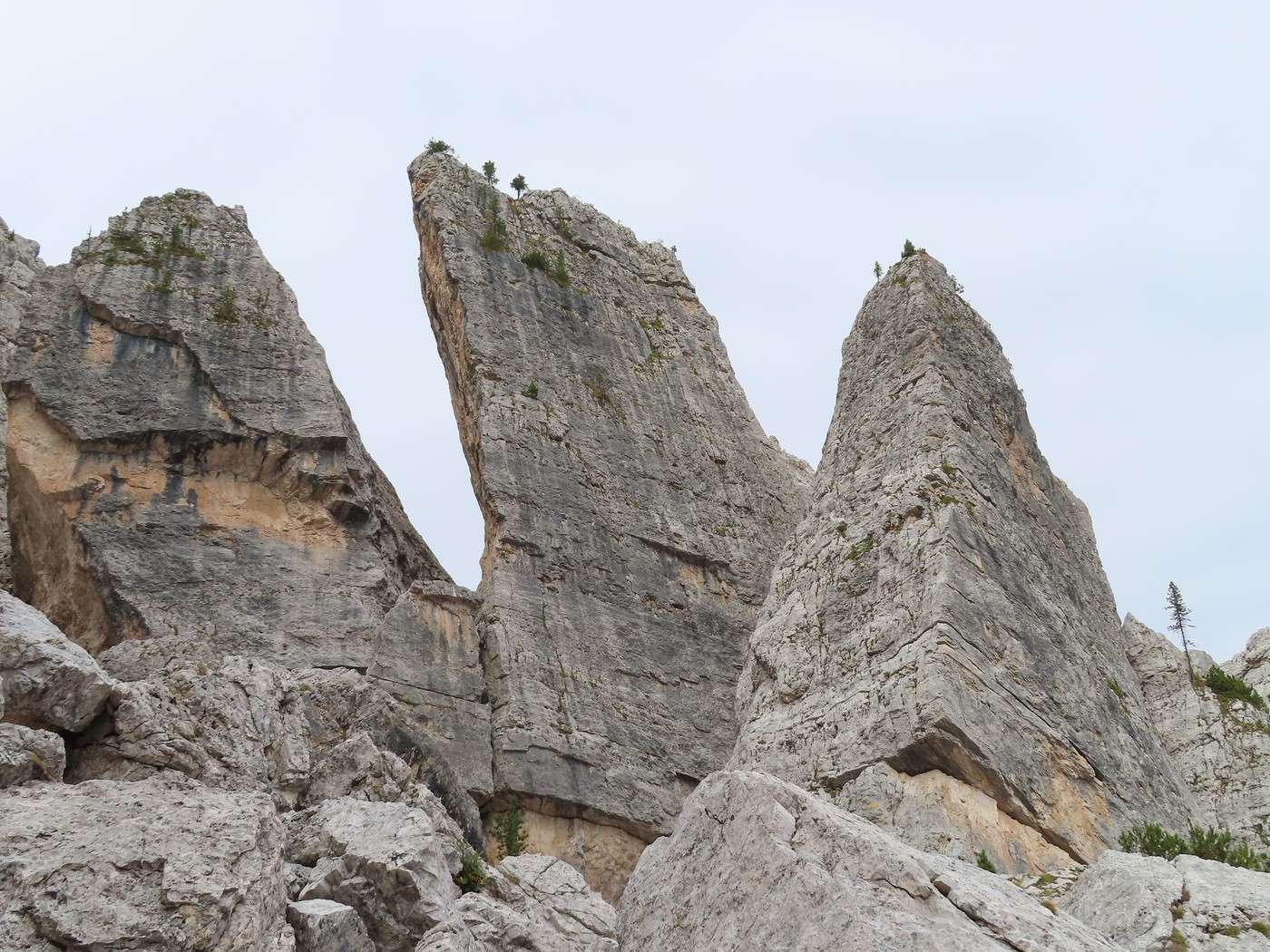
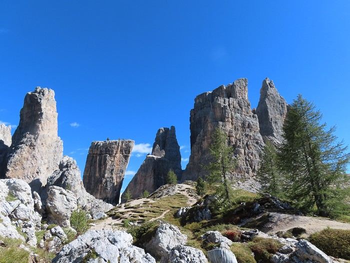
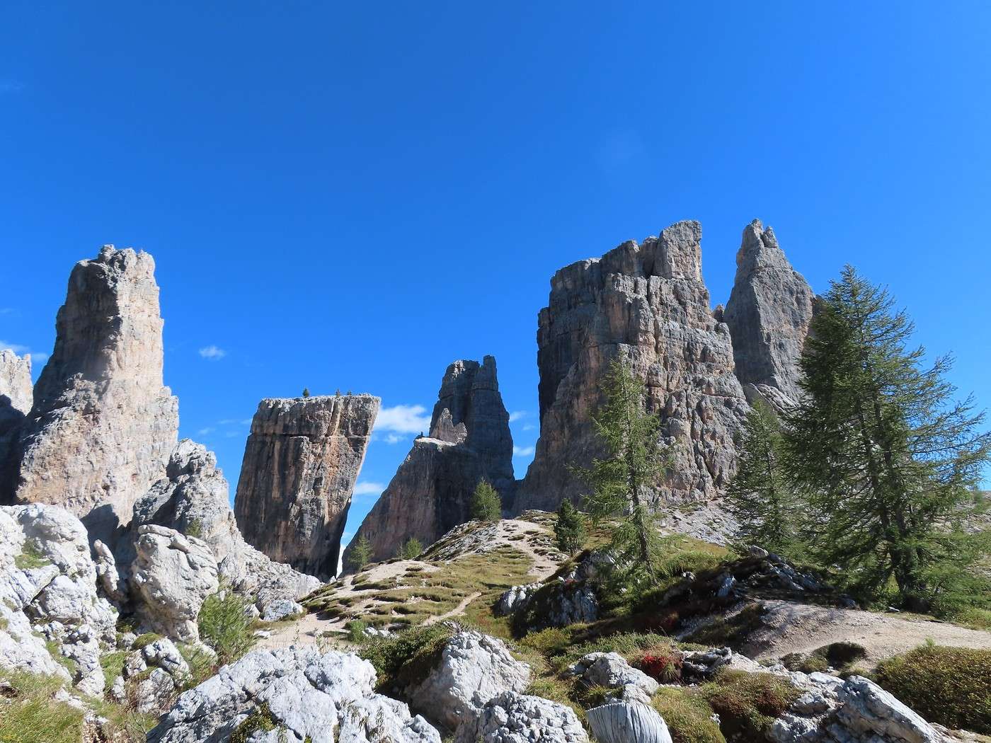
After crossing a good part of the area, I reach a spot where the name "Cinque Torri" (five towers) finally makes sense.


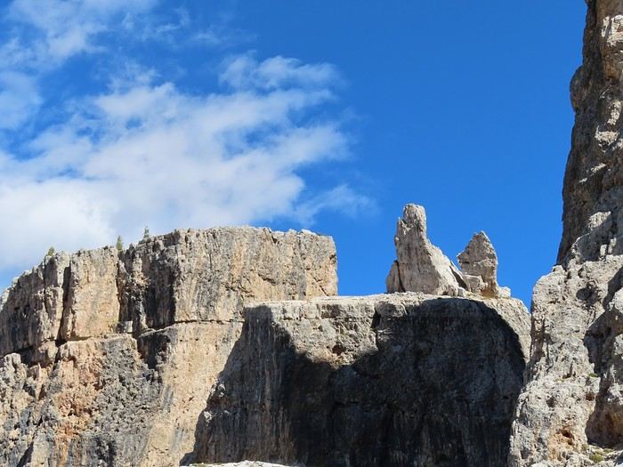
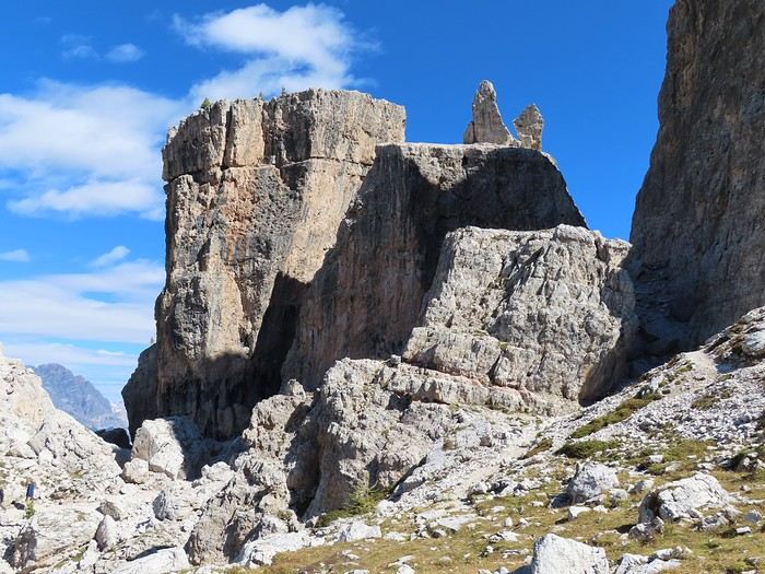
The identification, in hindsight (since it’s trickier on-site), can begin. On the left, "torre inglese," the English Tower. Then, moving to the right, two towers with flat tops—horizontal for the taller one, slanted for the shorter one: "torre quarta" alta and bassa. In the background, behind the shorter one, "torre Barancio." On the right, in the foreground, "torre romana," and in the background, partially visible, "torre grande." I’ll have to identify them without revisiting the photos later... when they’re actually five. There are way more than five towers in the area: some aren’t named (or I didn’t find the names), while others "multiply," like "torre Barancio," which is made up of three connected towers.

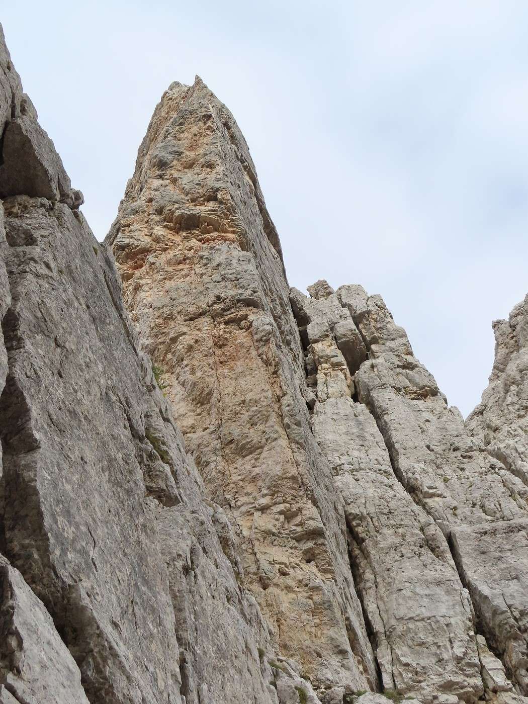
The tower I mentioned identifying earlier (photos 4 and 5) is the English Tower.

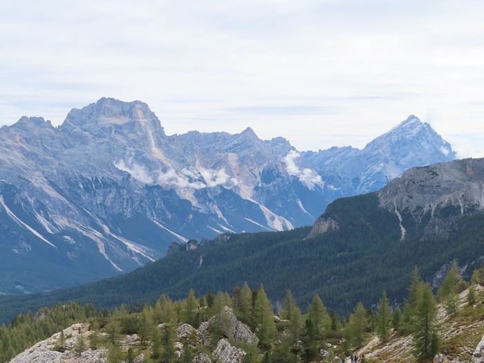
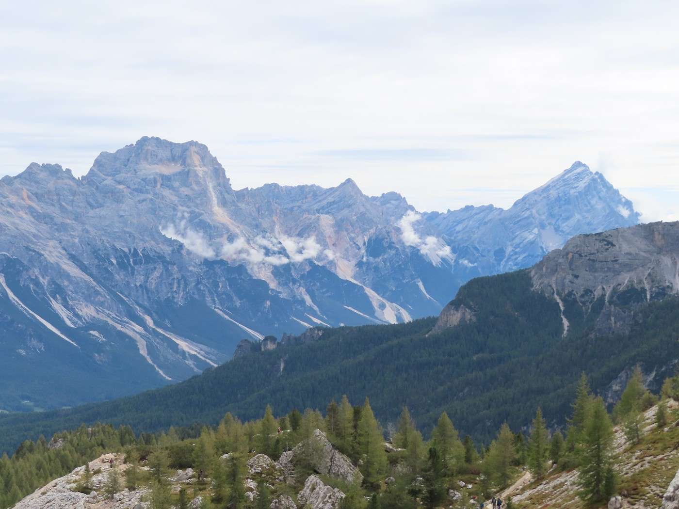
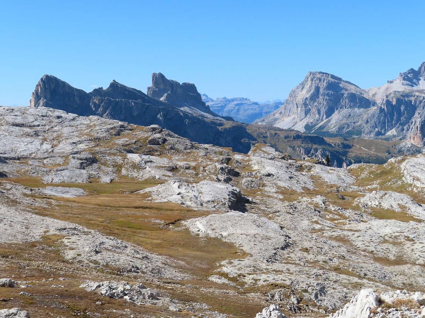
You can also see the more or less distant massifs. The Sorapiss (left) and the Antelao (right) are east of the Cortina valley.


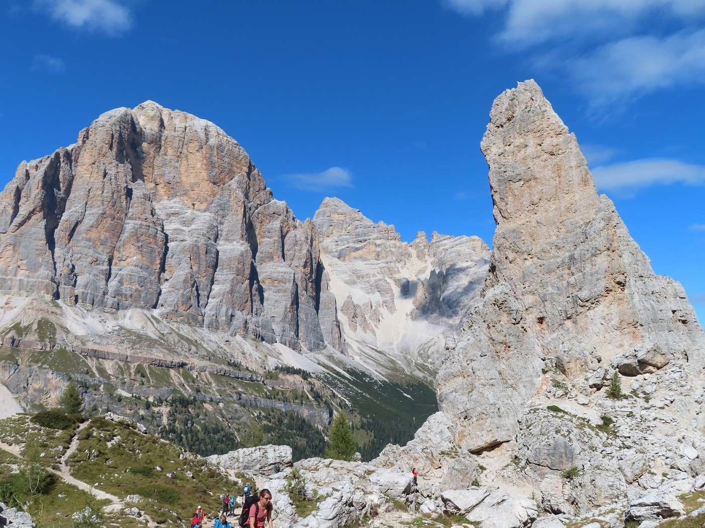
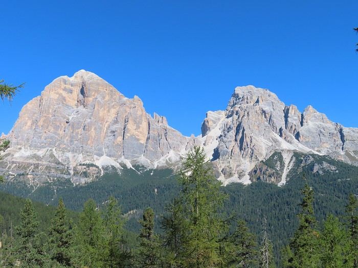
The "Tofane" behind the English Tower. Tofana di Rozes and, in the background, Tofana di Mezzo.


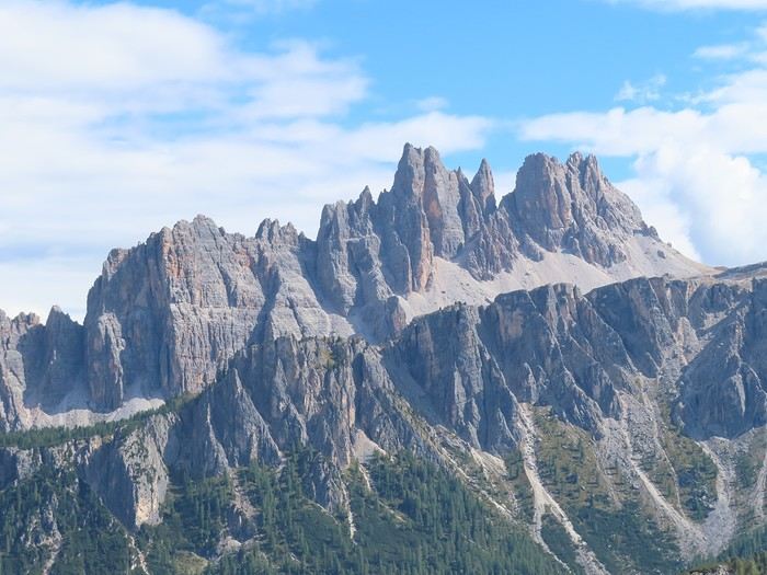
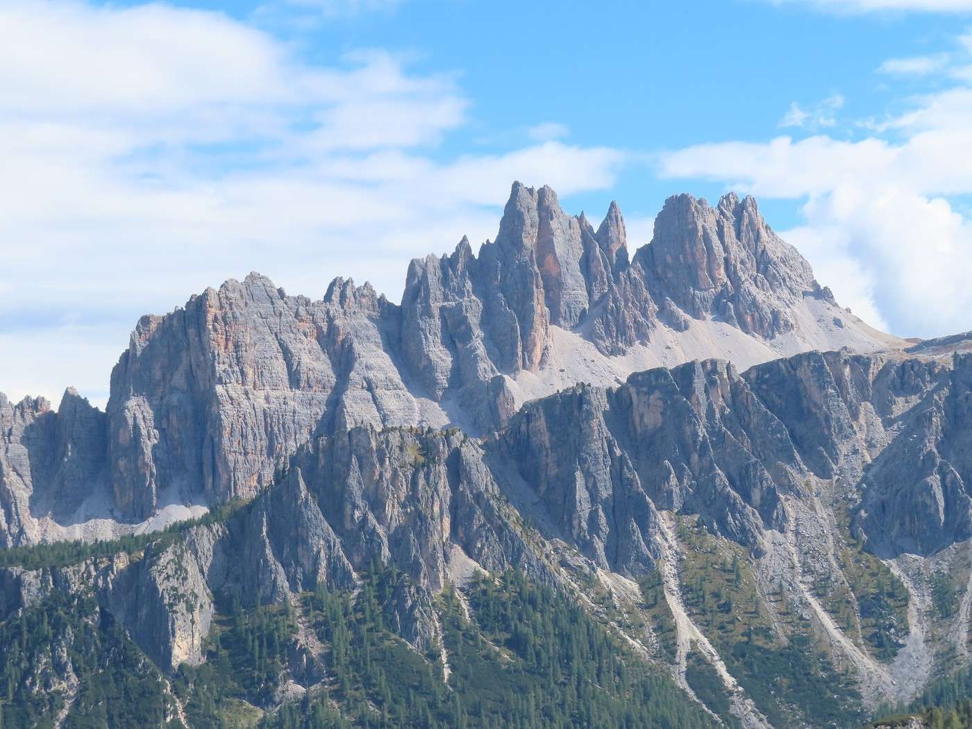
A much closer massif, Croda da Lago.


To be continued in the next post.

Veneto: Dolomites and Opera

Gaura · 2026-02-17 · Message 23 of 36

Thanks for the info.

Veneto: Dolomites and Opera

Valmichel86 · 2026-02-18 · Message 24 of 36

Day 14: Wednesday, September 17, 2025 (continued)

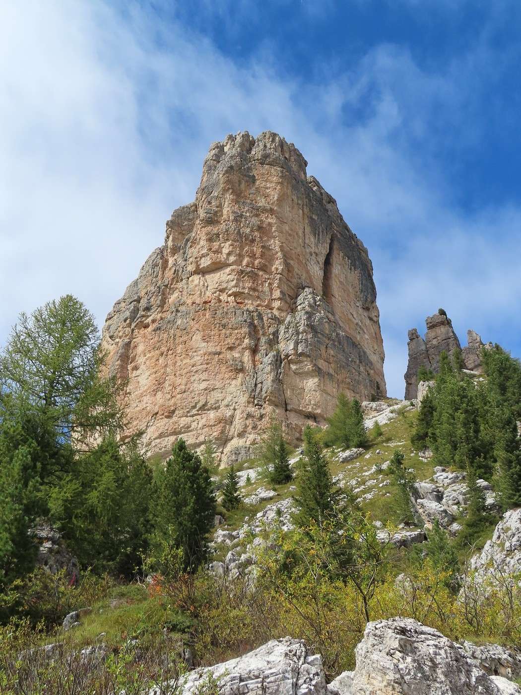
I’m near the Scoiattoli refuge (at the top of the chairlift) and I’m going to take a closer look at the *Torre Grande*. I’m descending via a narrow path, then along the paved road I took this morning for part of the climb, down to the *Cinque Torri* refuge. I head back up the same way, observing the *Torre Grande* (photo taken near the refuge; on the right, *Torre Barancio*).


I walk around the *Torre Grande* until I reach the base of the tower on the west side.


I then wander around the site a bit; if you have some time to spare (which you will if you’ve set aside the whole day for this hike), you can find different angles for the same towers (here, *Torre Quarta* alta and bassa, to compare with the wider view above).


*Torre Quarta* alta and bassa again.


*Torre Quarta* alta, this time on its own.


And to wrap up this wander among the towers, *Torre Inglese* with the sun lighting up the west face.


In my photo selection, I didn’t focus on the World War I remnants. This spot was a lookout over the front line just a few kilometers away: on the Lagazuoi slope to the right (Austrians at the top, Italians at the bottom), near the Falzarego Pass, and on the Sass de Stria slope to the left. You’ll find plenty of structures here (firing positions, shelters, artillery platforms, etc.).


To be continued in the next post.

Veneto: Dolomites and Opera

Valmichel86 · 2026-02-19 · Message 25 of 36

Day 14: Wednesday, September 17, 2025 (continued)

Here are the “Cinque Torri” again, photographed at the edge of the site. The identification I gave earlier should work for the photo below. “Inglese, quarta, barancio, romana, grande” from left to right.


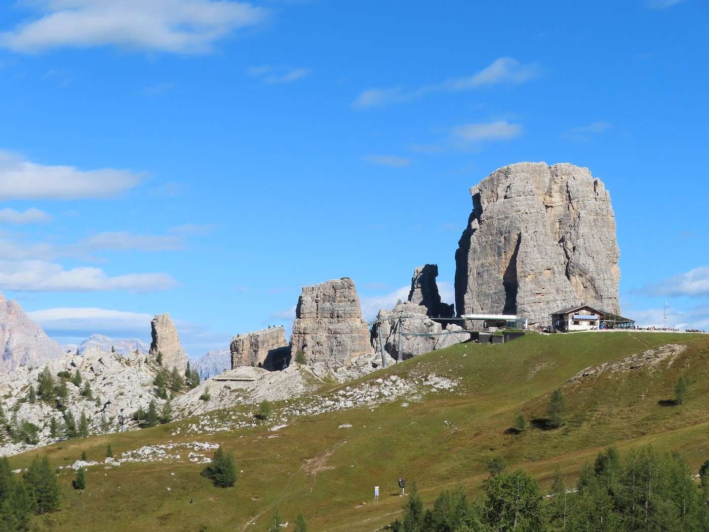
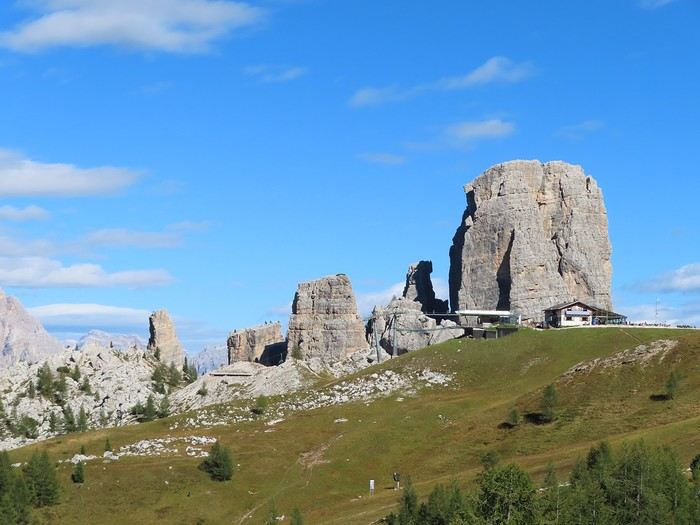
Here they are, from farther away, at the top of the chairlift. “Inglese, quarta, romana, barancio, grande” from left to right.


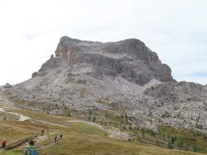
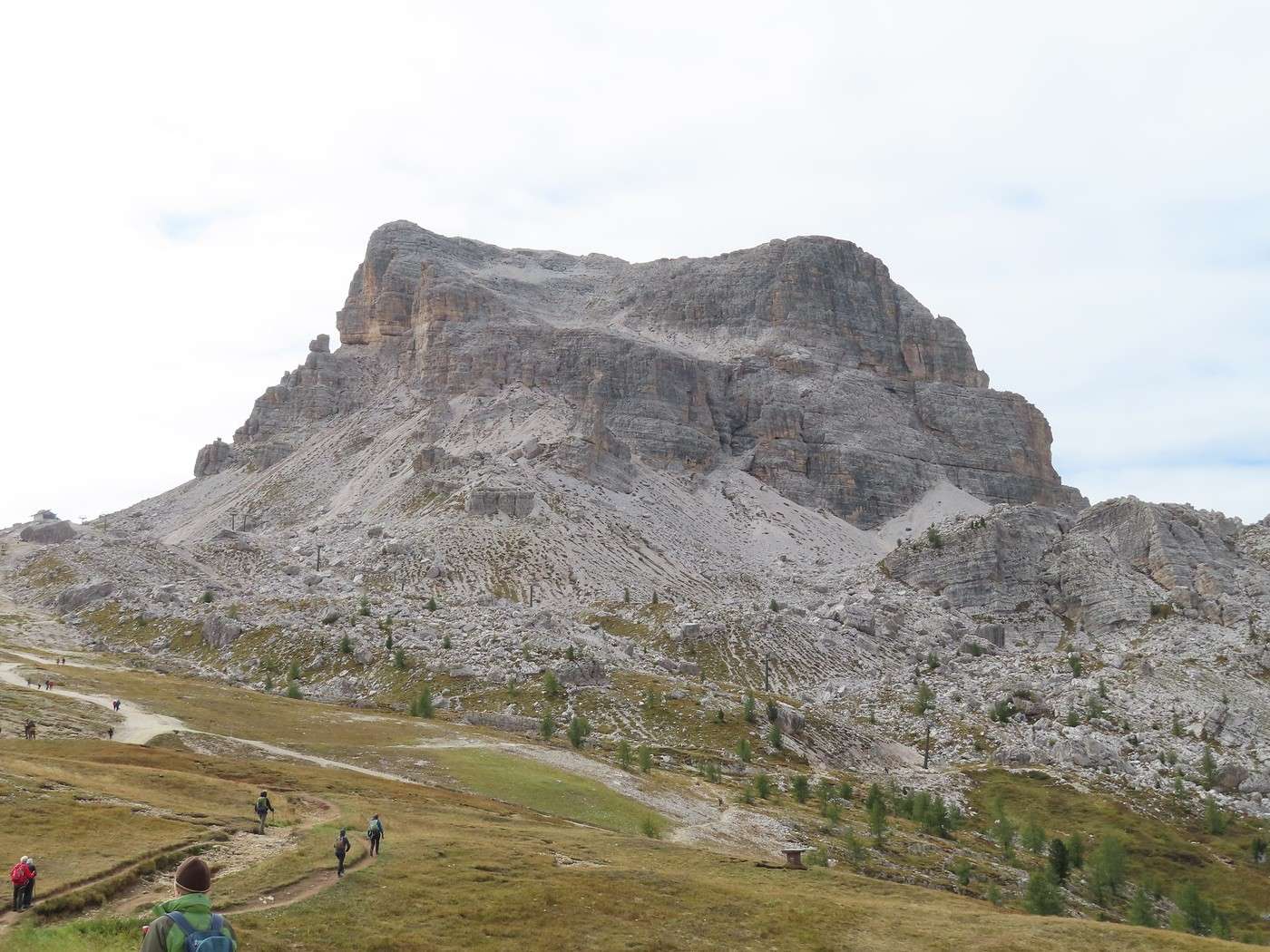
At the start of the return path (trail 440), I have Monte Averau in front of me. But the trail doesn’t climb; it veers to the right, at the boundary between the grass and the scree. That’s where the descent begins.


I recommend this trail in the afternoon because the sun’s position gives ideal lighting on the “Cinque Torri” (that’s why I did the loop clockwise), and you get to enjoy it during the first half of the descent.


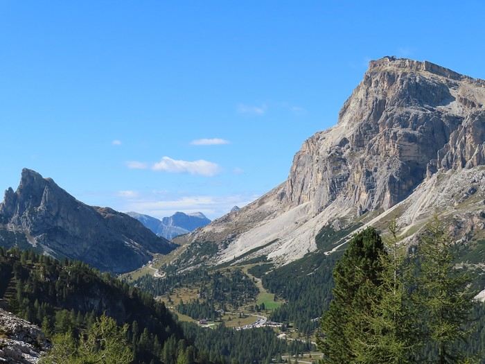
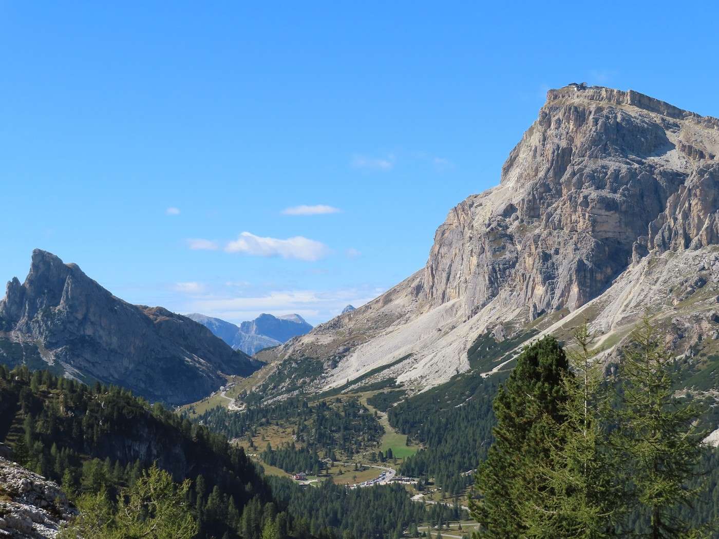
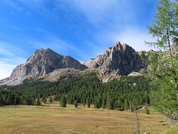
The descent continues through the forest to near the Falzarego road. You get a different view of Lagazuoi (on the left) and “Monte Falzarego” (on the right). Near this spot, you need to take trail 424 to return to Bai de Dones.


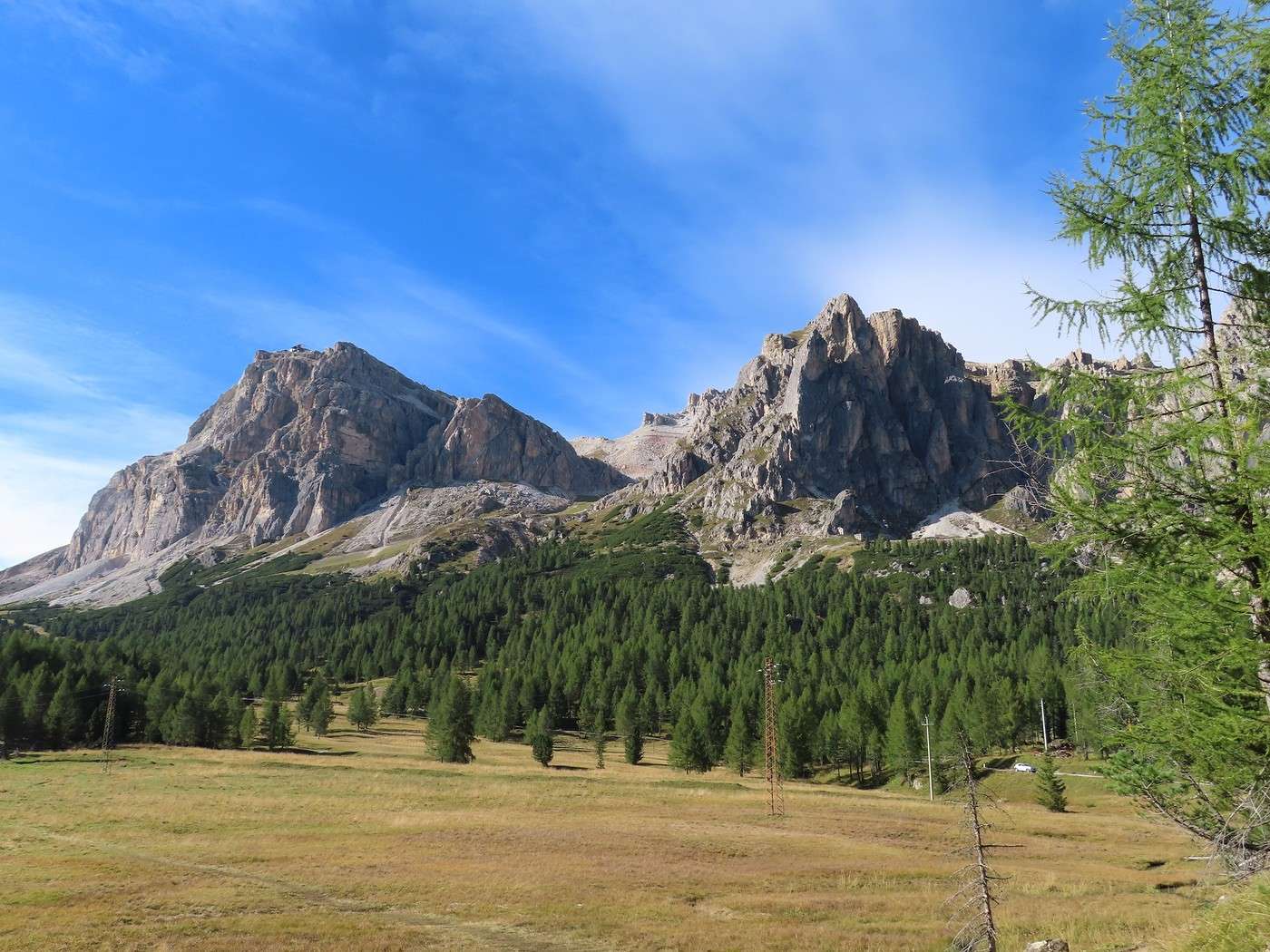
This is a hike that’s well worth the trip, especially for the multiple ways to move around among the towers. The moderate elevation gain (415 meters up, the same down) makes it an easy day hike and leaves time to explore the site. I actually did more elevation gain than the 415 meters shown on the GPX track I had; detailed exploration of the site adds quite a bit more.

Veneto: Dolomites and Opera

Valmichel86 · 2026-02-20 · Message 26 of 36

Day 15: Thursday, September 18, 2025

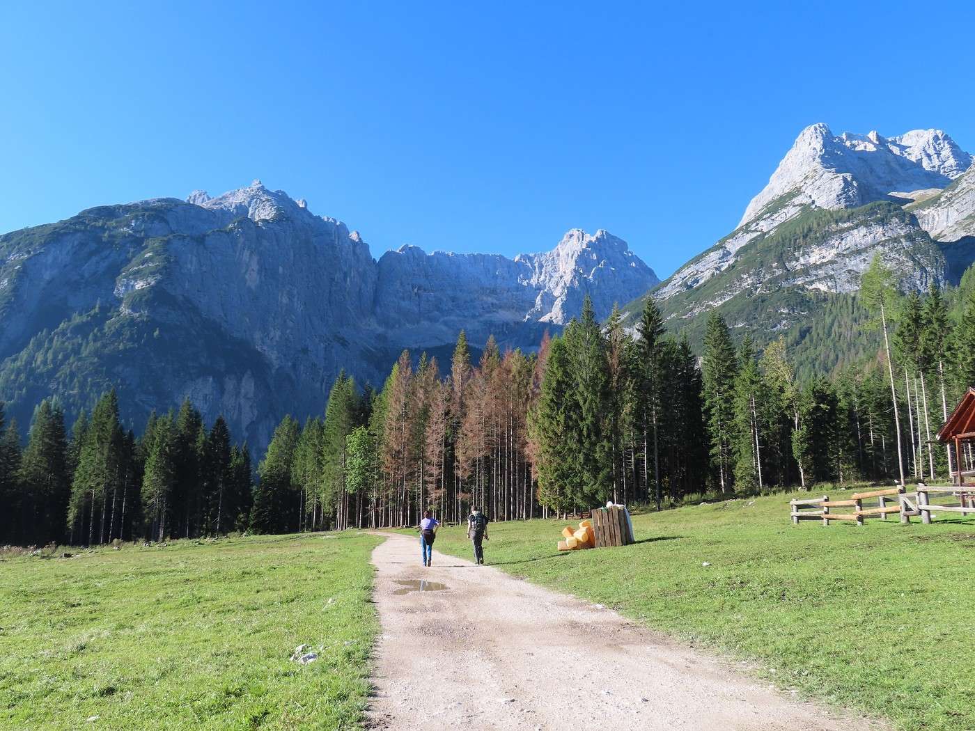
I’m continuing with the iconic hikes around Cortina d’Ampezzo, this time at Lake Sorapis. I’m not taking the classic route from “Passo Tre Croci.” Since I’m prone to vertigo, I’ve read that this route isn’t recommended for people like me. That kind of info is always a bit iffy—I would’ve loved to see the vertigo-inducing section for myself to judge if it was too tough. But it’s too far from the start to scout it out. So, I’m taking another path, said to be physically harder and much less crowded than the usual route. From Cortina, I head up to “Passo Tre Croci,” descend the east side of the pass, leave the Misurina road, and take the SR48 toward Auronzo di Cadore. I stop 500 meters after 4 steep switchbacks, near a hotel called “Cristallo.” Parking is possible along the roadside. The spot is called Valbona, I think—there’s a small road to the right that crosses the Ansiei stream after 50 meters, but you can’t take it because it’s blocked right after the bridge. The hike starts in a bucolic setting between meadows and forest.


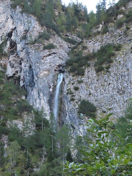
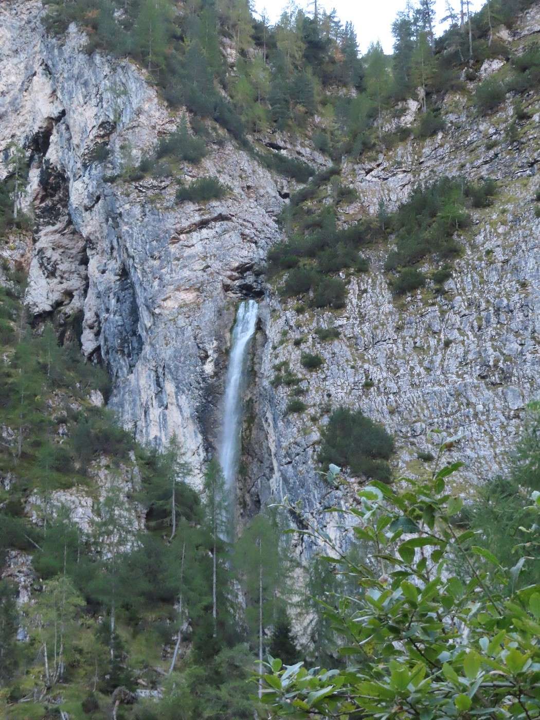
It’s flat, even slightly downhill, until a spot called Sopis, where the climb begins. Easy at first, it gets steep quickly and stays that way almost all the way to Lake Sorapis. This corresponds to a big rock face where you have to gain the elevation (waterfall, gorge). Even though this section is in the shade (mid-September), I’m sweating a lot: 550 meters of elevation gain in one go on a steep trail. I met about ten people on the trail—everyone hiking at their own pace, except for two who were really poorly equipped and had set off without water!! They sounded Slavic and started asking if the lake was still far away.


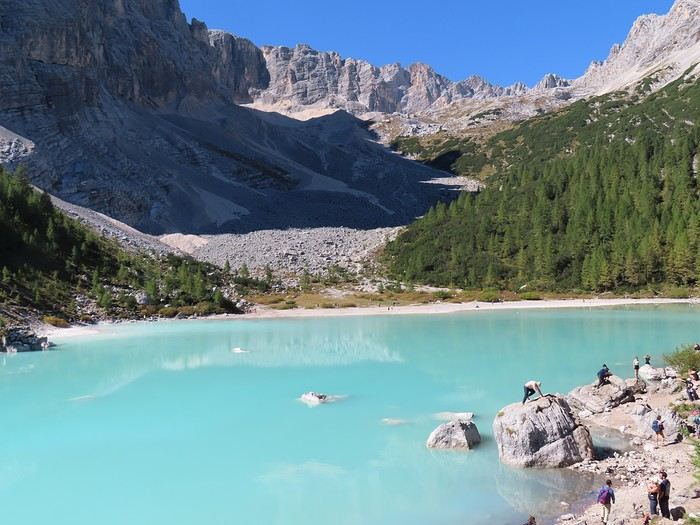
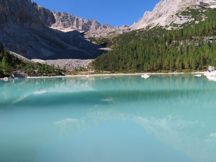
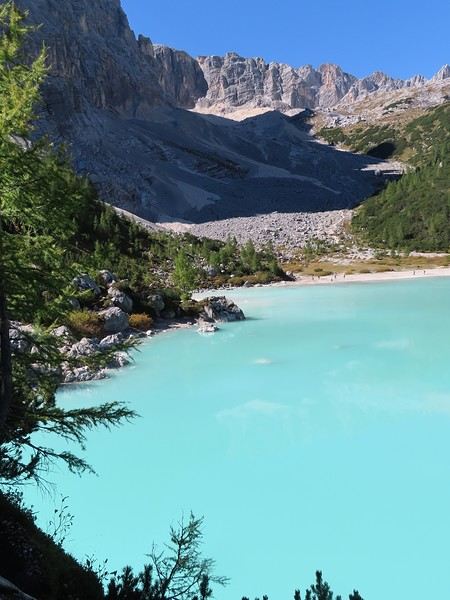
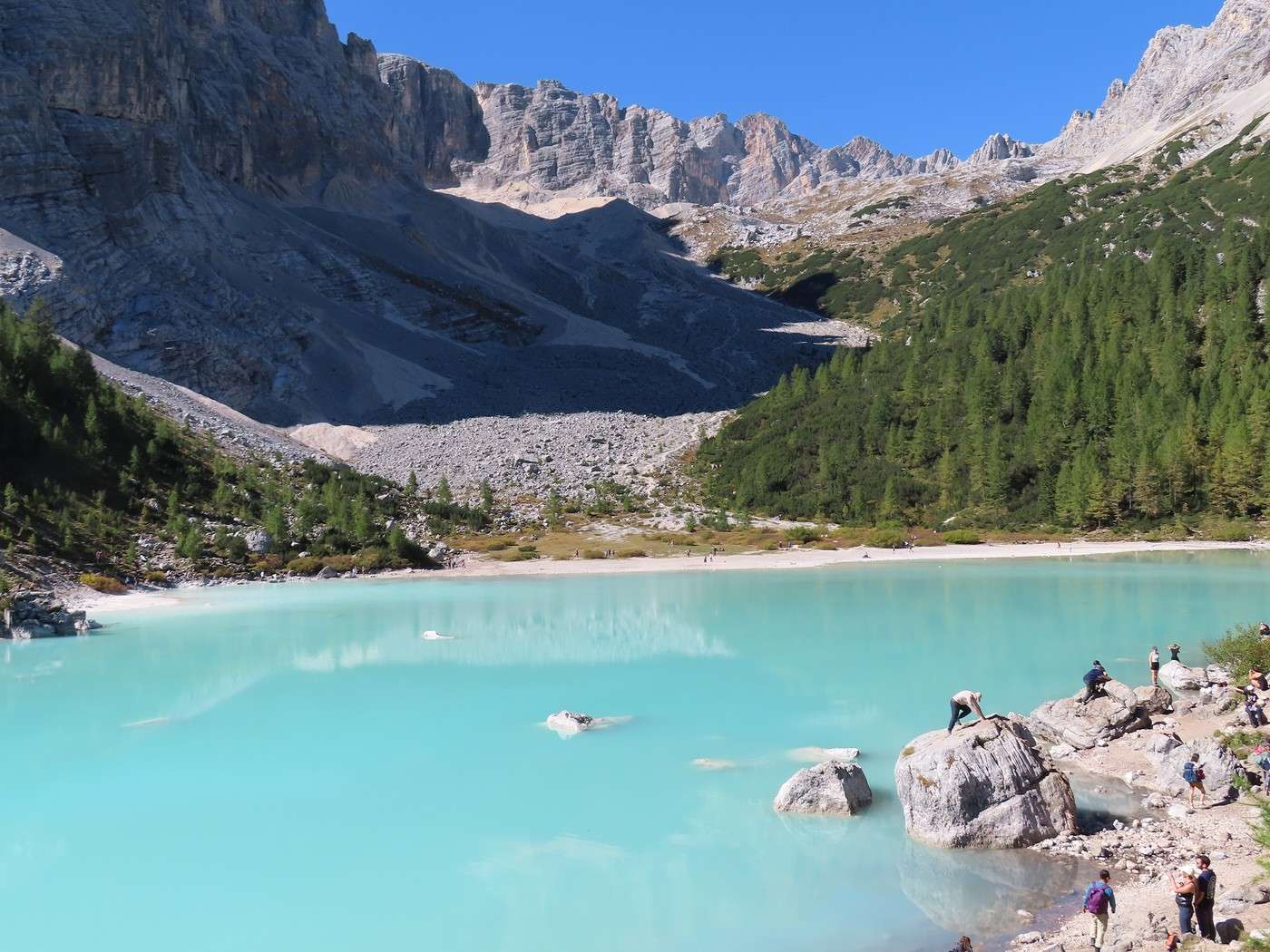
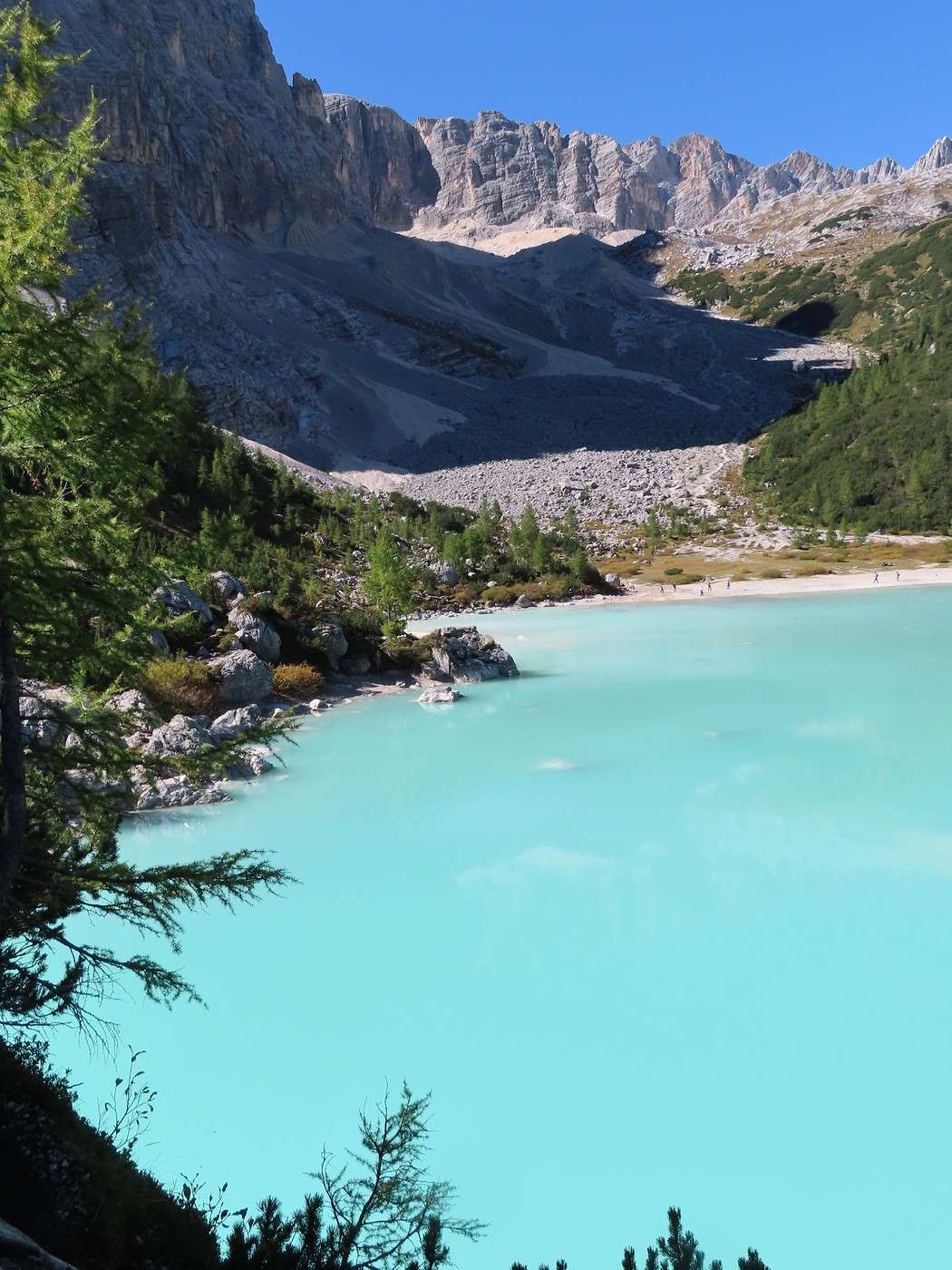
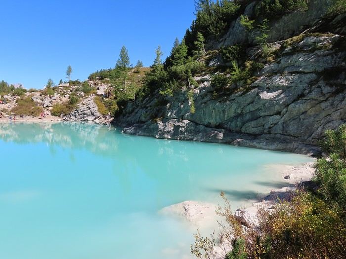
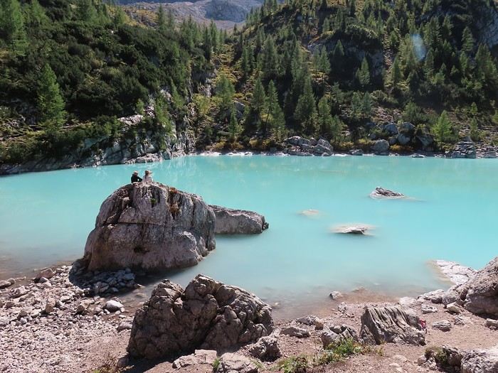
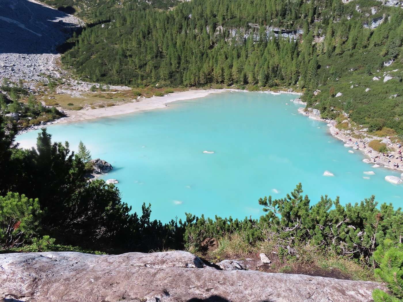
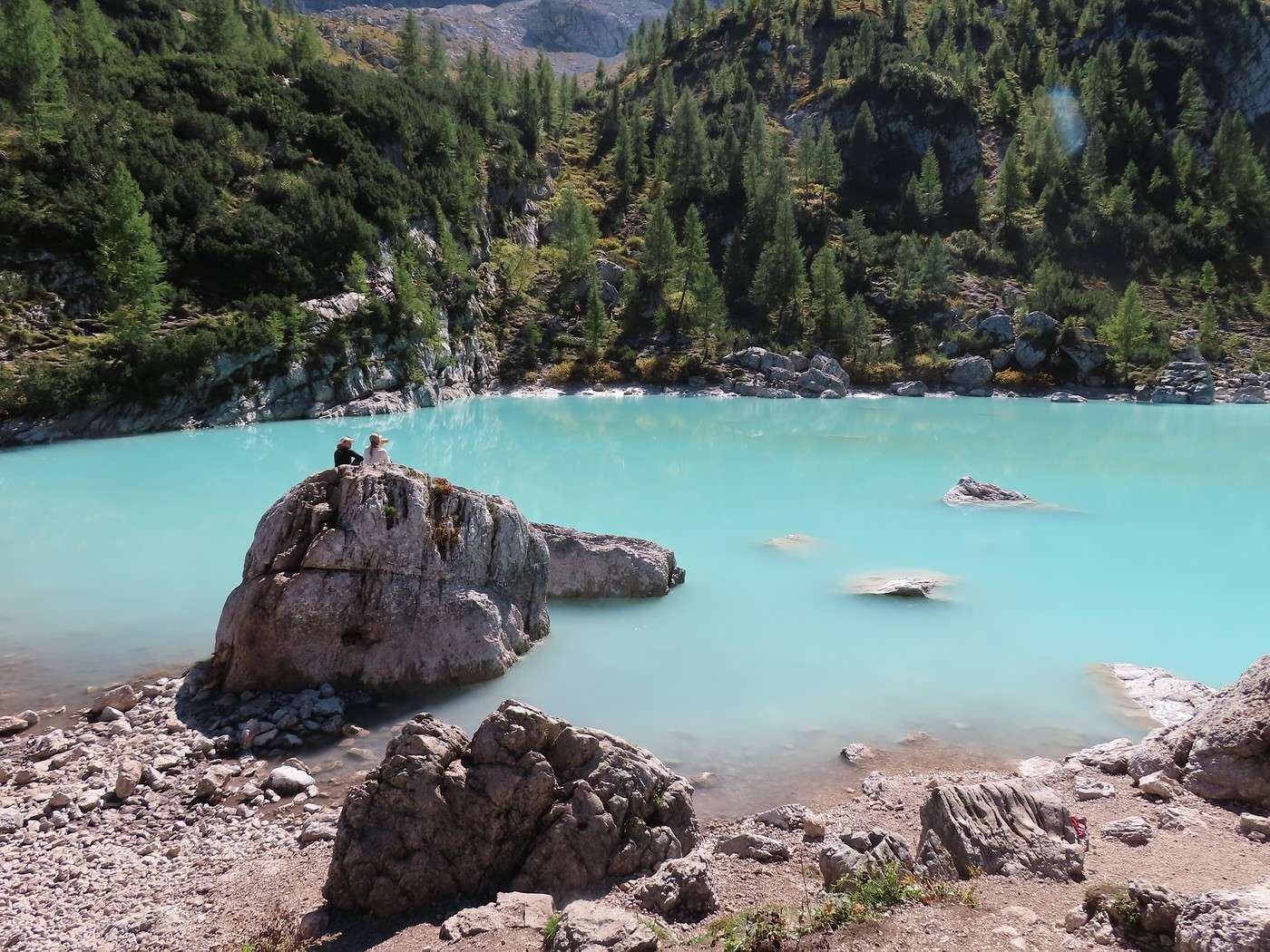
At the lake, everything was as expected: the stunning setting, the water’s color, and the crowd. At a rough guess, there were quite a few people spread around the shore (hard to count), with a high concentration at the point where the trail reaches the lake—close to fifty, I’d say. Clearly, nine out of ten came via the classic trail, which must be really busy (though nothing like the “Tre Cime di Lavaredo”).


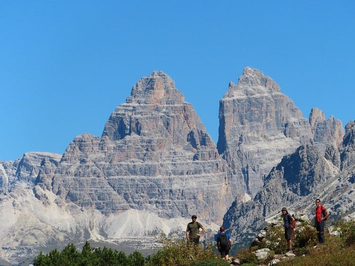
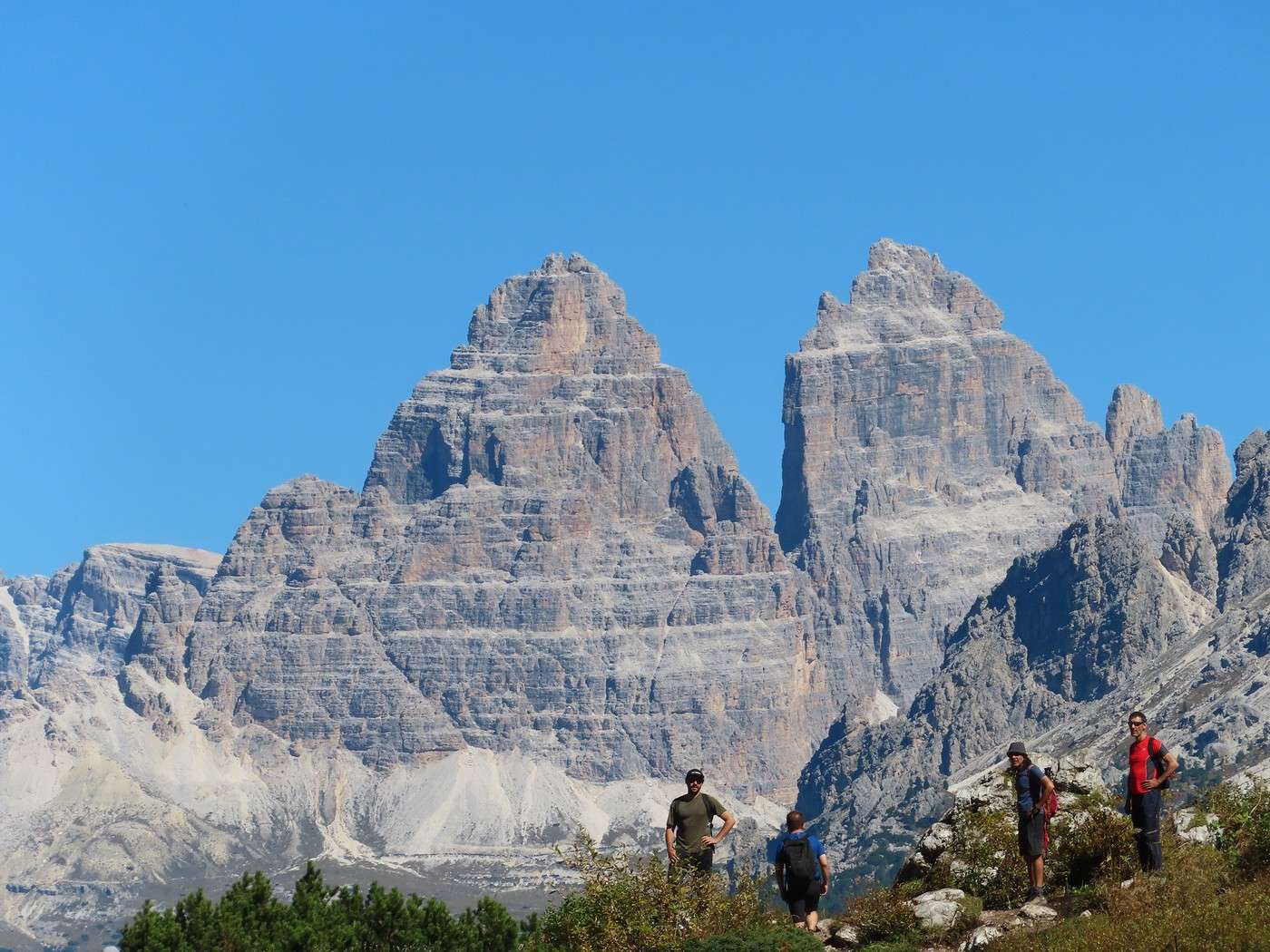
The spot also offers a view of the Tre Cime di Lavaredo (see my post from the day before yesterday)—well, two out of three: Cima Ovest (left) and Cima Grande (right).


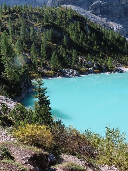
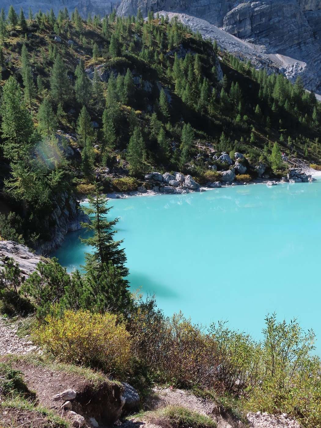
I move a little to the left to get a higher view of the lake.


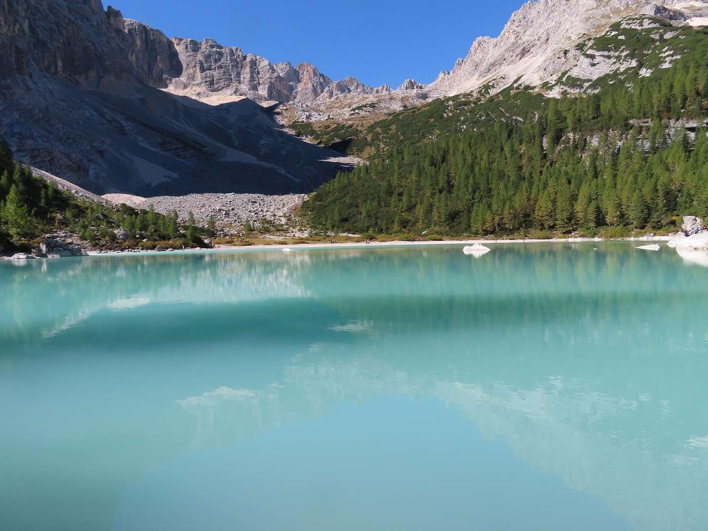
It should be possible to climb up the valley on the other side of the lake to get deeper into the Sorapis massif and closer to the glacier that gives the lake its turquoise color. I won’t be doing that, though.


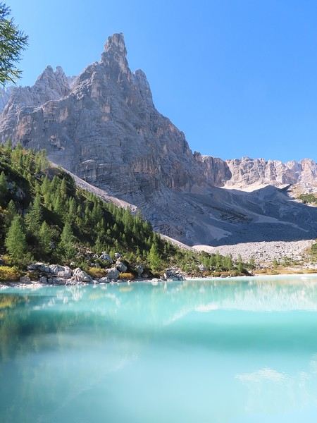
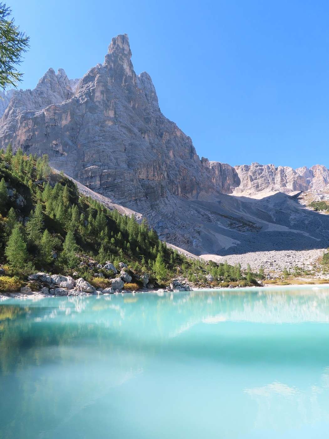
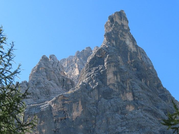
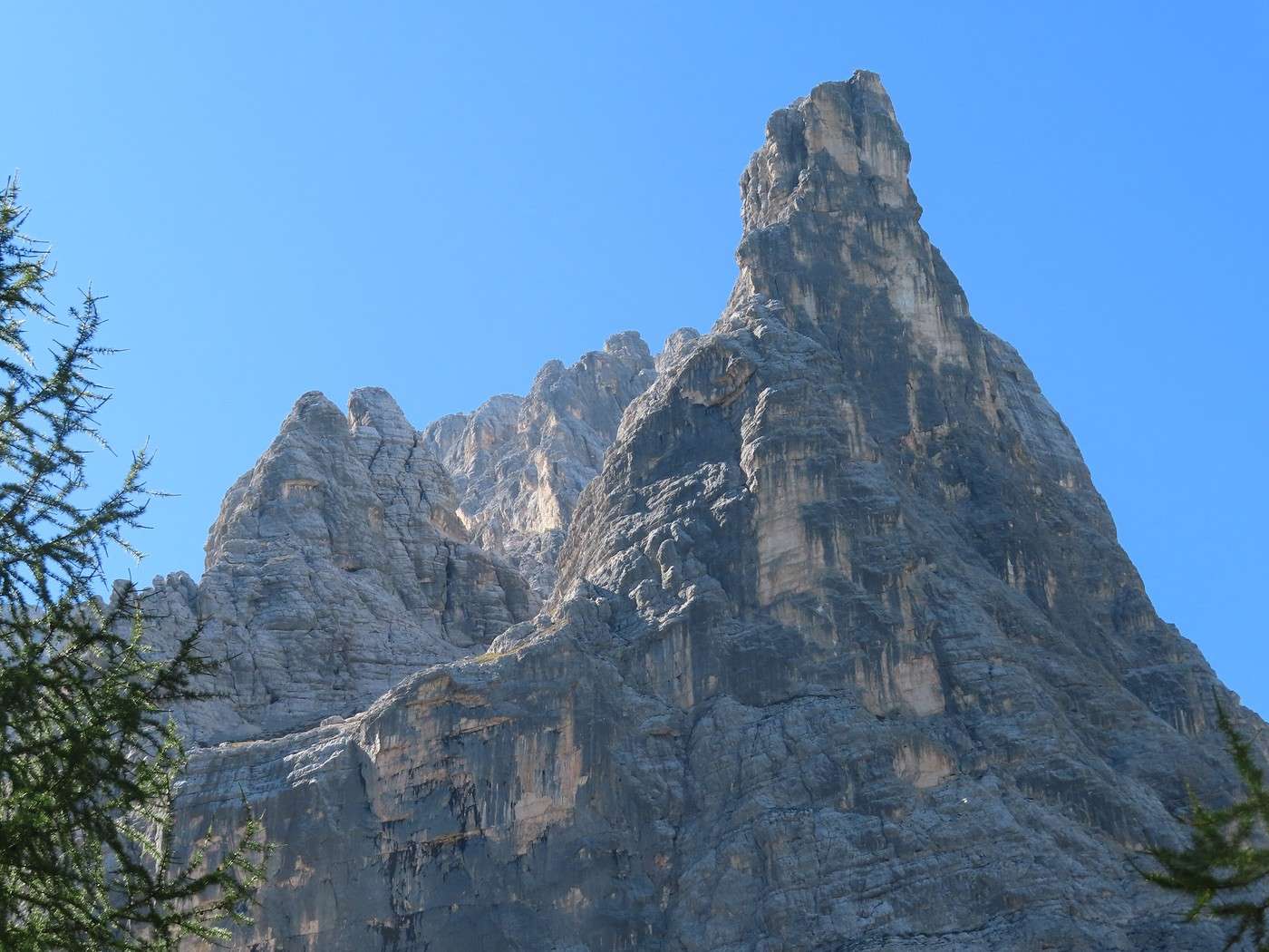
The lake is dominated by a nearby peak called “the Finger of God.”


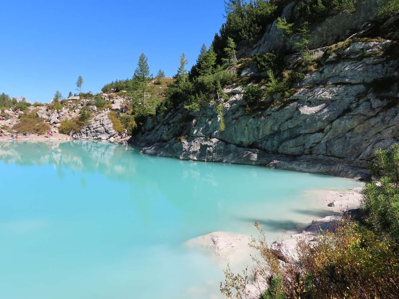
Now, I’m going to walk around the lake (clockwise). The first part climbs on poorly marked paths—you sometimes wonder if there’s even a trail. The height above the water and the sun’s position make the lake’s color even more intense.


More to come in the next post.

Veneto: Dolomites and Opera

Valmichel86 · 2026-02-22 · Message 27 of 36

Day 15: Thursday, September 18, 2025 (continued)

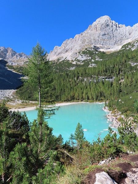
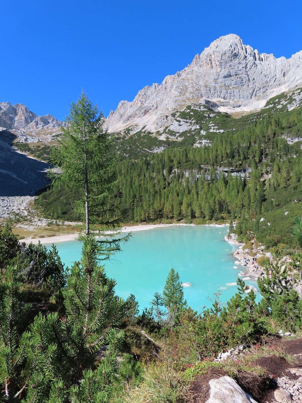
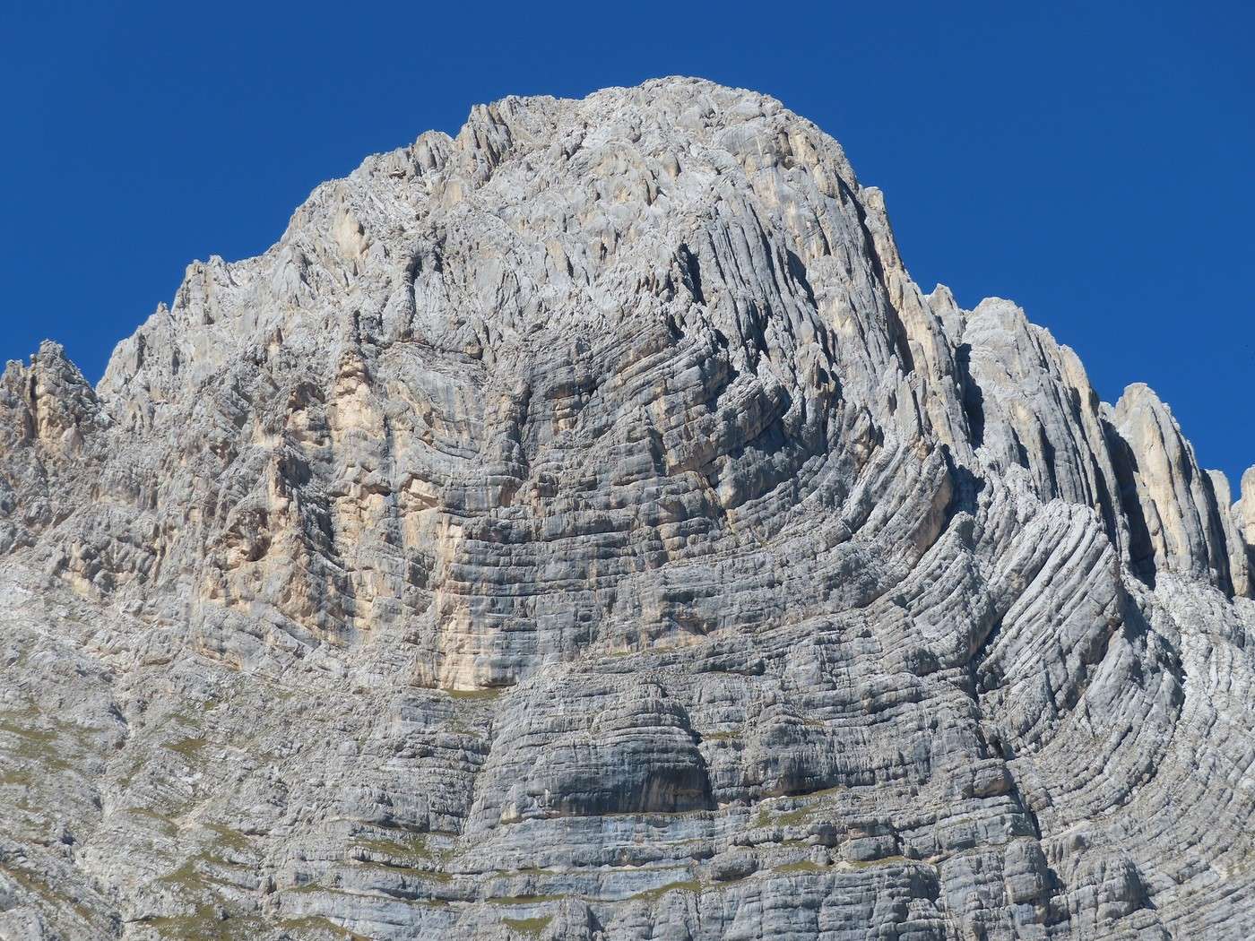
Walking around the lake, I come to a spot where an amazing peak lines up perfectly with it.


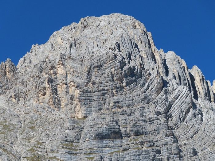
Wow! And after some research, this turns out to be Ra Zesta, also called La Cesta (2,768 meters), probably because of the shape of the rocky folds.


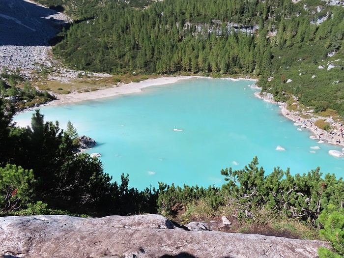
The highest point on the steep trail around the lake offers a panoramic view of it (it’s about 300 meters at its longest). You can also see where people tend to gather: the north shore, near where the trails arrive.


This is also the spot where you feel most like you’re under the “finger of God.” Behind this peak, you can make out the group where the highest point of the massif is: Monte Sorapis (3,205 meters).


The paths carved into this area let you descend back to the lake’s edge, in a quieter section on the southeast side (steep). It’s a decent spot for a picnic.


After the picnic, I finish crossing the steep passage (you have to climb up and then down again). The rest of the loop is flat and brings you back near the refuge and where the trails start.


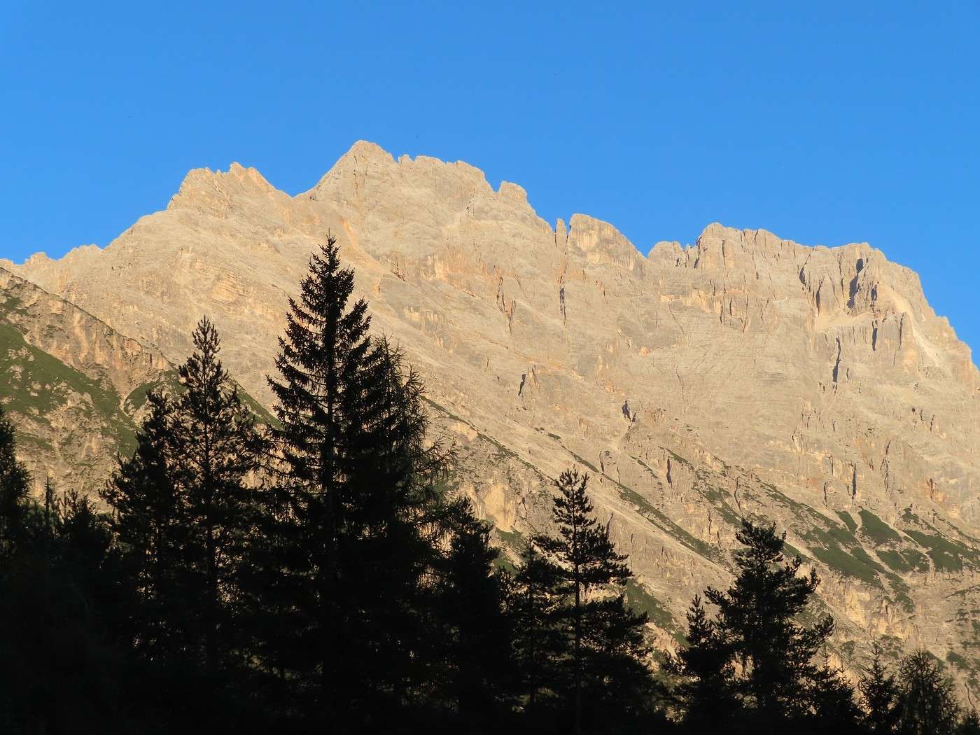
I make it back to Valbona without any issues. The trail is steep, so you’ve got to be careful on the descent, but it’s way less exhausting than the climb. Elevation gain/loss for the hike: 550 meters up and down. The weather’s great—warm—and since it’s not too late, I have time to visit the ethnographic museum once I’m back in Cortina d’Ampezzo. With the weather still so nice, there must be stunning sunsets in the mountains. I’ll settle for photographing the Sorapis massif from the campsite (Cortina). It’s past 6:30 PM, and I think I could’ve waited a little longer.


Veneto: Dolomites and Opera

Valmichel86 · 2026-02-23 · Message 28 of 36

Day 16: Friday, September 19, 2025

Today, another hike among the most famous around Cortina d’Ampezzo: Croda da Lago. It’s a massif peaking at 2,715 meters, home to a lake very different from Lake Sorapis. I’ll be doing the loop clockwise for lighting reasons. To get to the starting point, I take the same route as for "Passo Falzarego"; in the village of Pocol, I turn left toward "Passo Giau." After 4 km on this road, I park by the side of the road: the trail starts here (a spot called "Ponte di Rucurto"). Route: trail 437 to the Cason del Formin junction, trail 434 to Lake Federa and then to "forcella Ambrizzola," trail 435 to "forcella Formin" and back to the Cason del Formin junction, then trail 437 to return to the starting point. The hike begins with an easy climb through the forest; past the Cason del Formin junction, after a good climb, you reach a viewpoint offering an expansive panorama.

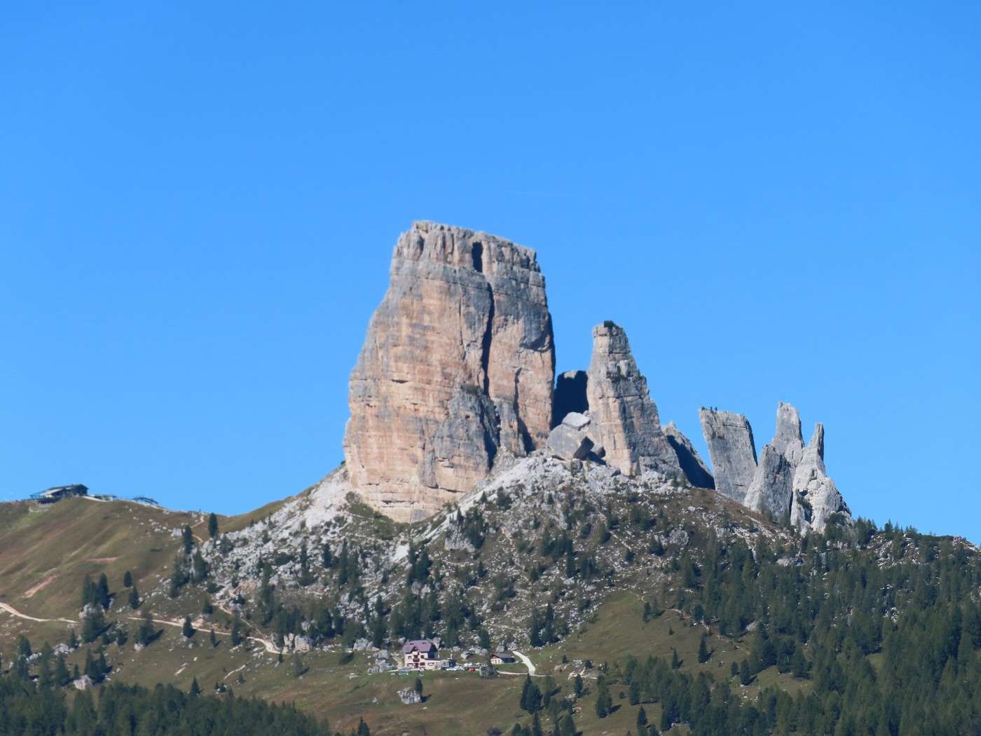
I start with a recap of the day before yesterday, with a view of the "Cinque Torri." You get a view of the site from the east or southeast, with Torre Grande and Torre Barancio. The two refuges are also clearly visible: Rifugio Scoiattoli on the ridge at the top of the chairlift (on the hidden side), and Rifugio Cinque Torri below Torre Grande, accessible via the road coming from the right.


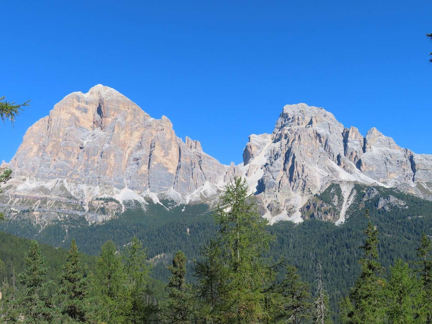
The "Tofane" (Tofana di Rozes and Tofana di Mezzo) dominate the area around Cortina d’Ampezzo.


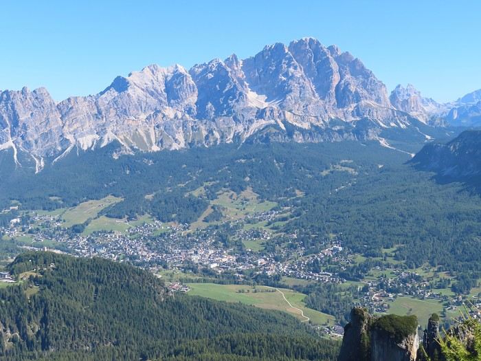
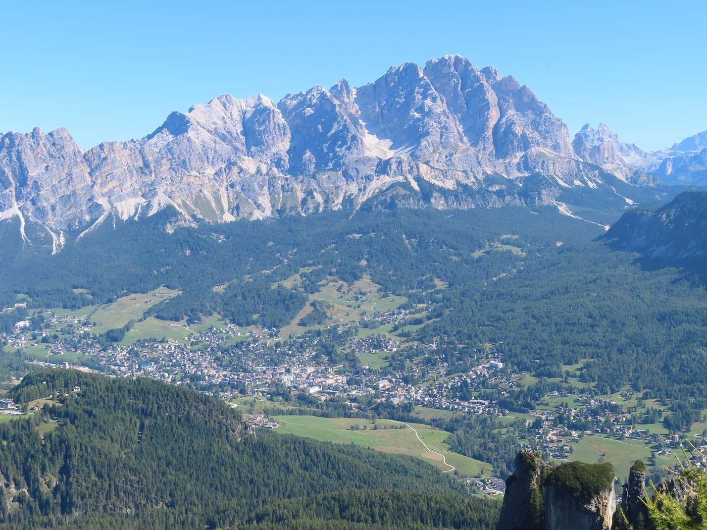
The town of Cortina d’Ampezzo, as you can see, isn’t in a narrow valley but in a cheerful, relatively wide one, even though it’s overshadowed by peaks reaching 3,200 meters (the Tofane in the previous photo and the Cristallo massif here).


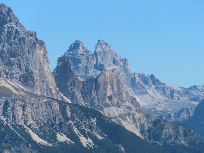
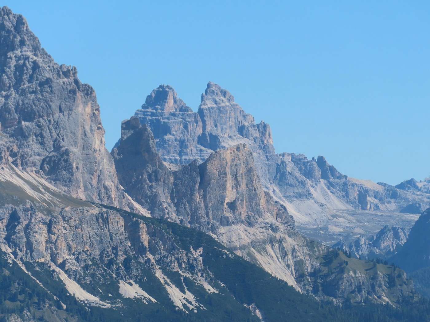
Zooming in, you can also spot the "Tre Cime di Lavaredo" (Cima Ovest and Cima Grande) in the distance but still easily identifiable; this viewpoint is the best I’ve found over the Cortina d’Ampezzo valley.


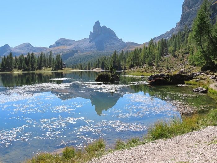
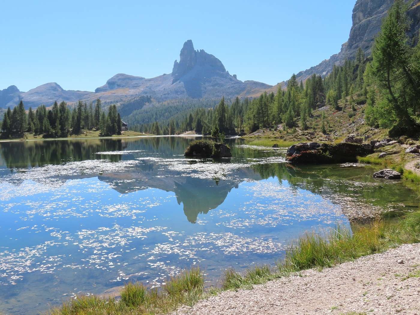
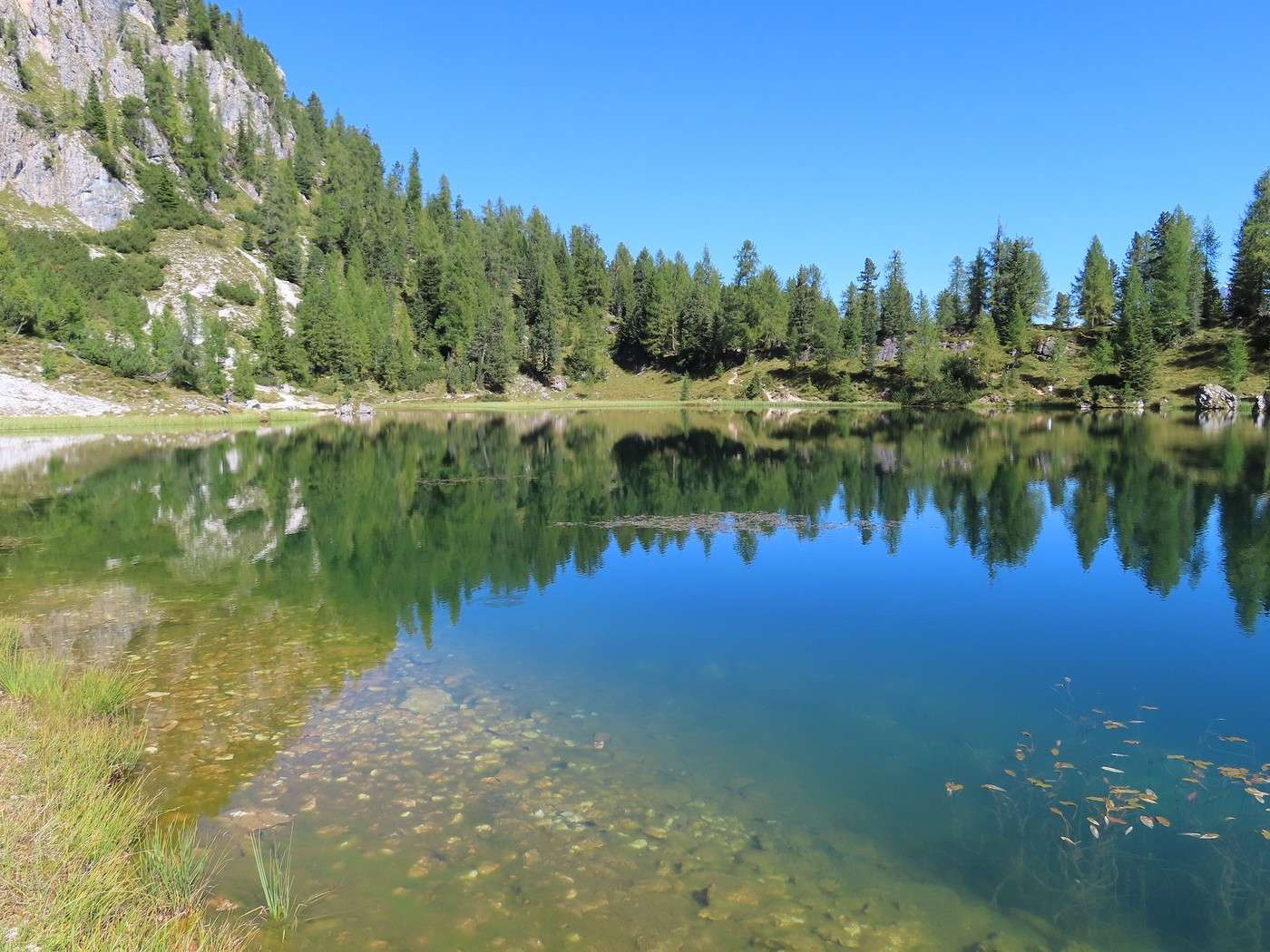
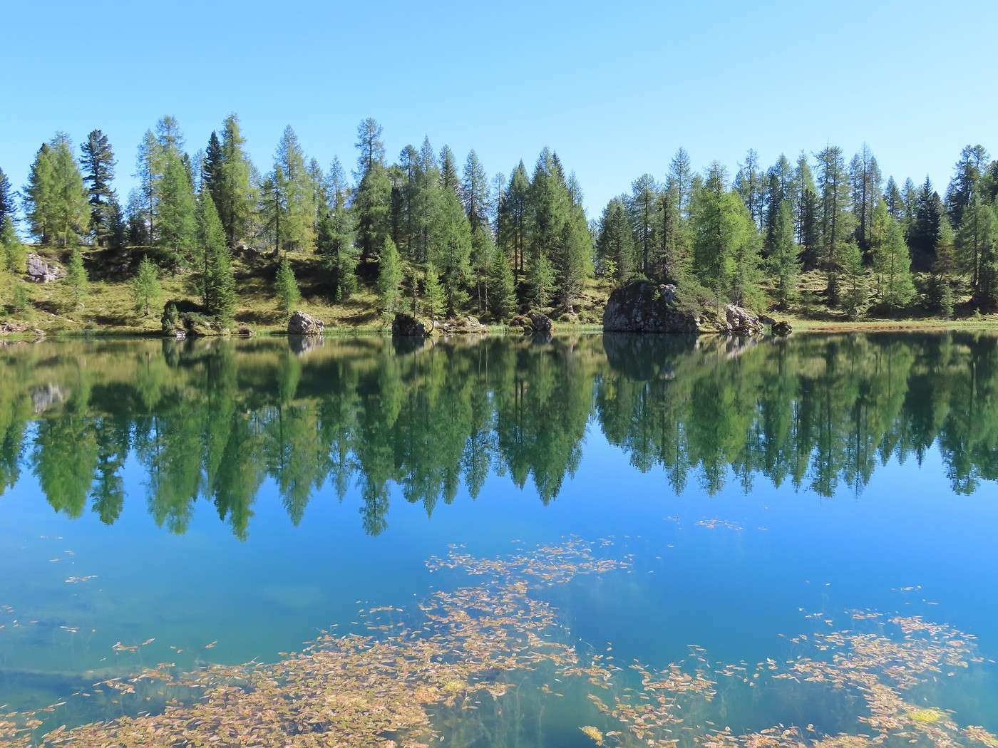
For many hikers, the goal is Lake Federa (Lago di Federa) and the nearby Rifugio Palmieri. The lake, with Becco di Mezzodì in the background, is one of the well-known spots around Cortina. I’ll continue the hike this afternoon by climbing to "forcella Ambrizzola," the pass visible to the right of Becco di Mezzodì.


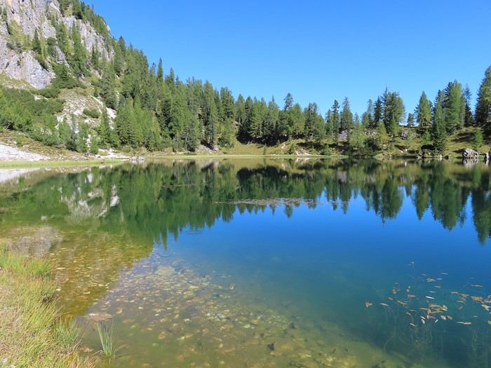
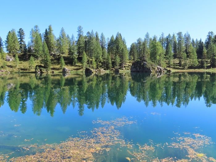
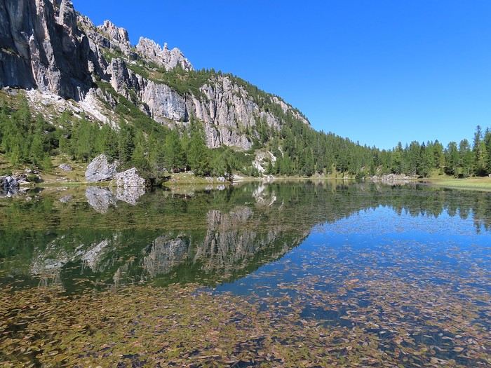
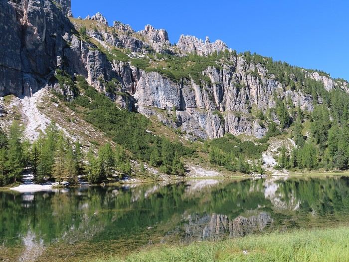
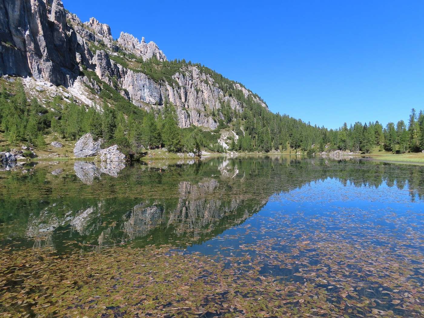
For now, though, I’ll walk around the lake and have a picnic. Lake Federa offers a very different setting from Lake Sorapis: the atmosphere is much more pastoral. Aquatic vegetation is abundant near the shores (almost nonexistent at Lake Sorapis).


More to come in the next post.

Veneto: Dolomites and Opera

Valmichel86 · 2026-02-24 · Message 29 of 36

Day 16: Friday, September 19, 2025 (continued)

On the ascent to Forcella Ambrizzola, the trail is always in my field of vision, gradually climbing the flank of the Croda da Lago massif. At the pass (2,277 meters), I’m at the foot of the Becco di Mezzodi. The face toward the lake is north-facing and therefore almost never sees the sun (only a little at the summer solstice).


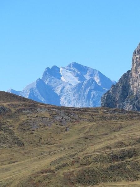
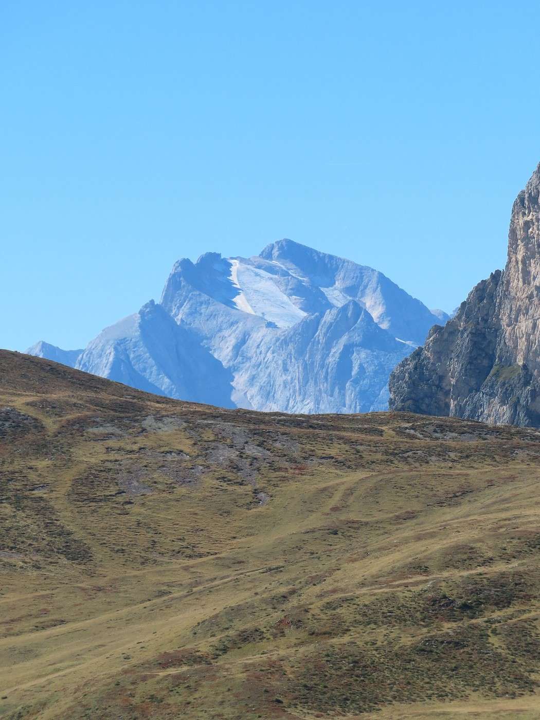
Since it’s a pass, the landscape opens up to other slopes and peaks. I spot the Marmolada again—the summit and the glacier, the glacial tongue located below the cable of the upper section of the cable car.


If I look back at the slope I climbed, I see the ascent path, the lake (way down to the right), and the highest point of the Croda da Lago massif, Cima Ambrizzola (2,715 meters).


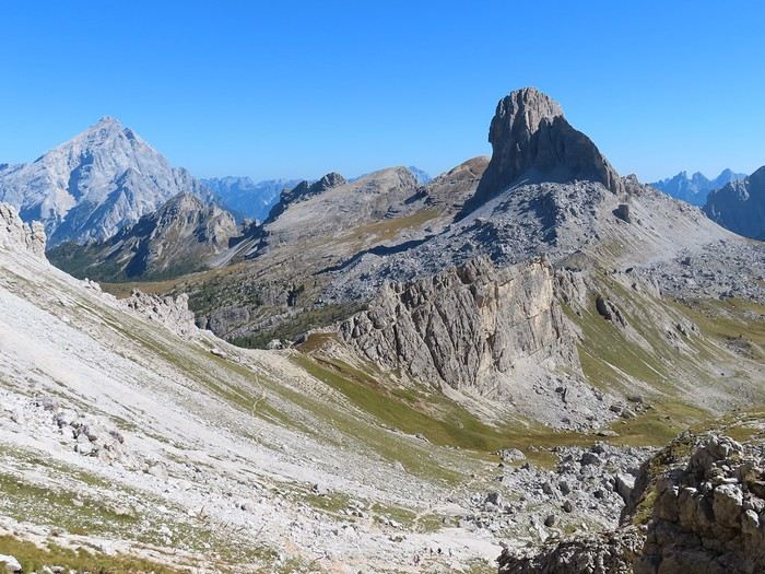
From here on, I cross to the west side of the massif and begin the return trip, but the climb isn’t over yet because the trail heads toward a second pass (higher than Forcella Ambrizzola) called Forcella Formin (2,462 meters). Exceptional panorama: the first pass on the left is Forcella Rossa; Forcella Ambrizzola (where I came from) is farther away, in the rocky area at the foot of the Becco di Mezzodi.


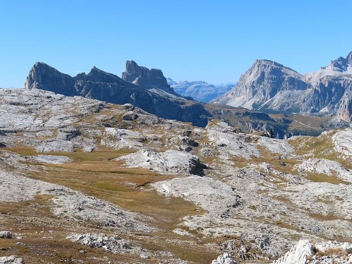
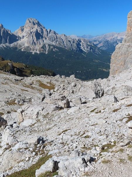
Near the pass, there’s a plateau—a true inclined plane—with scraped limestone outcrops, a landscape very different from the usual spires in the Dolomites: this is the Formin plateau. In the distance, the Nuvolau, Averau, and Lagazuoi massifs.


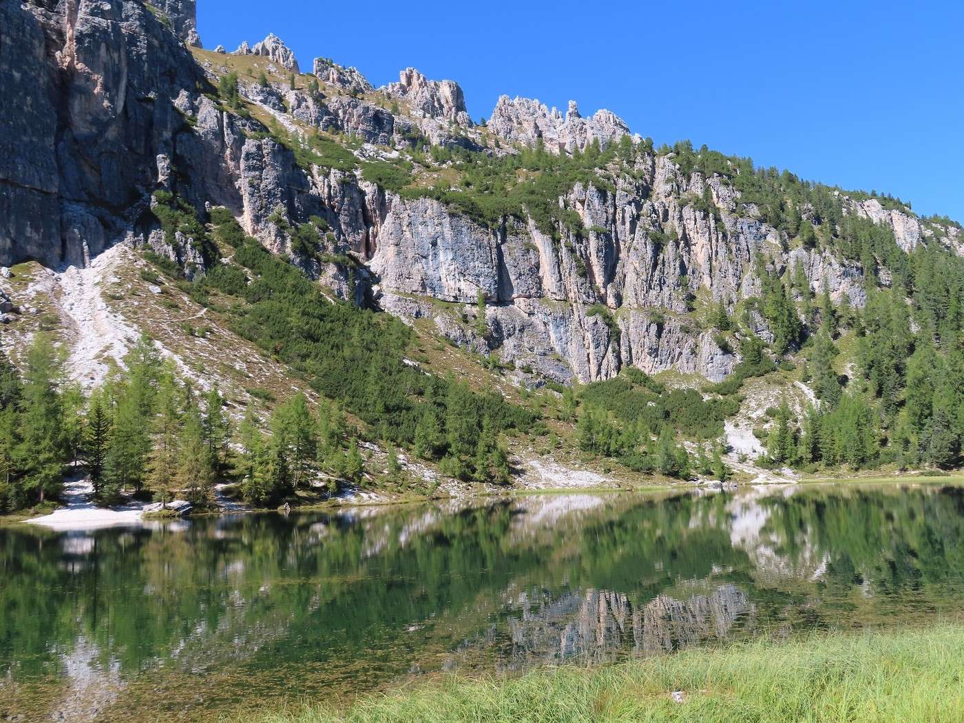
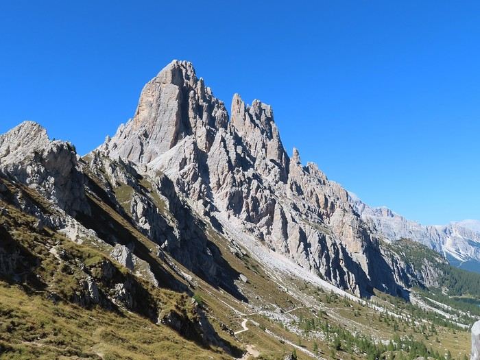
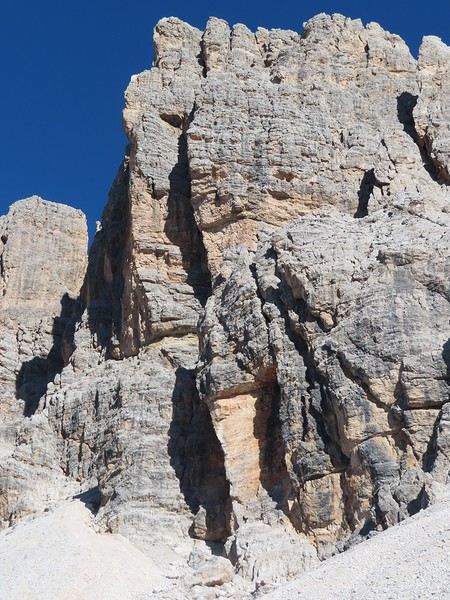
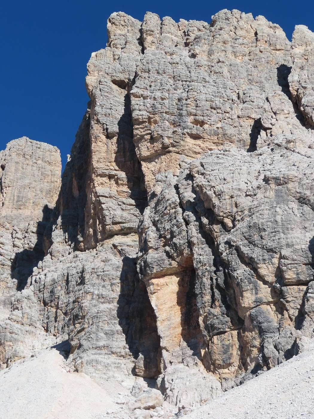
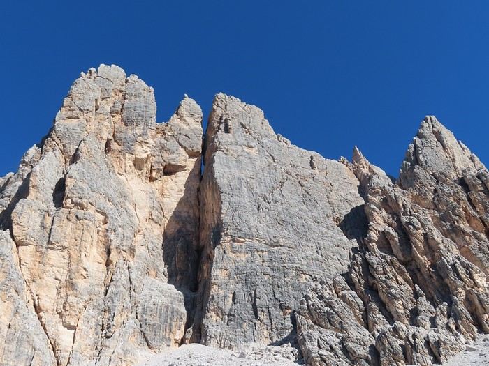
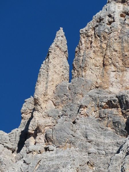
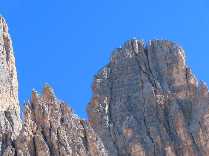
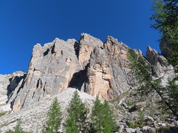
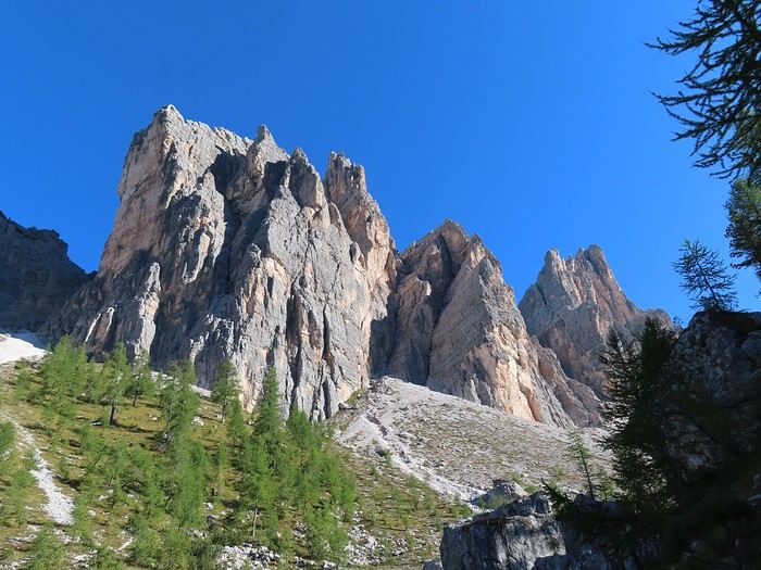
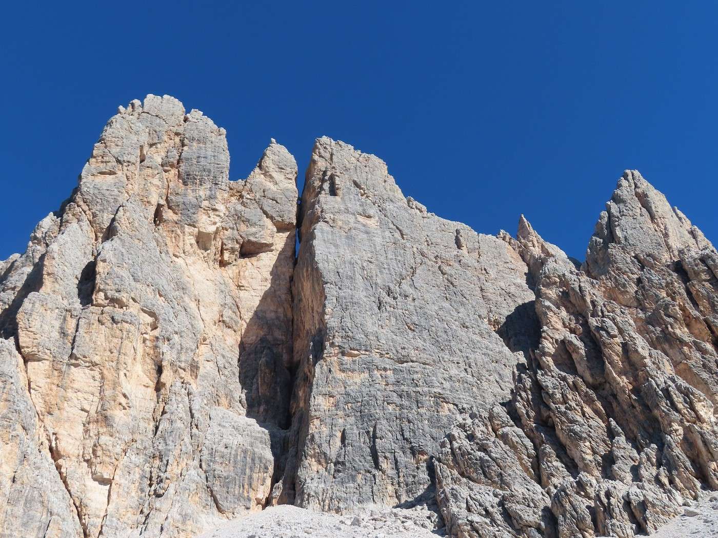
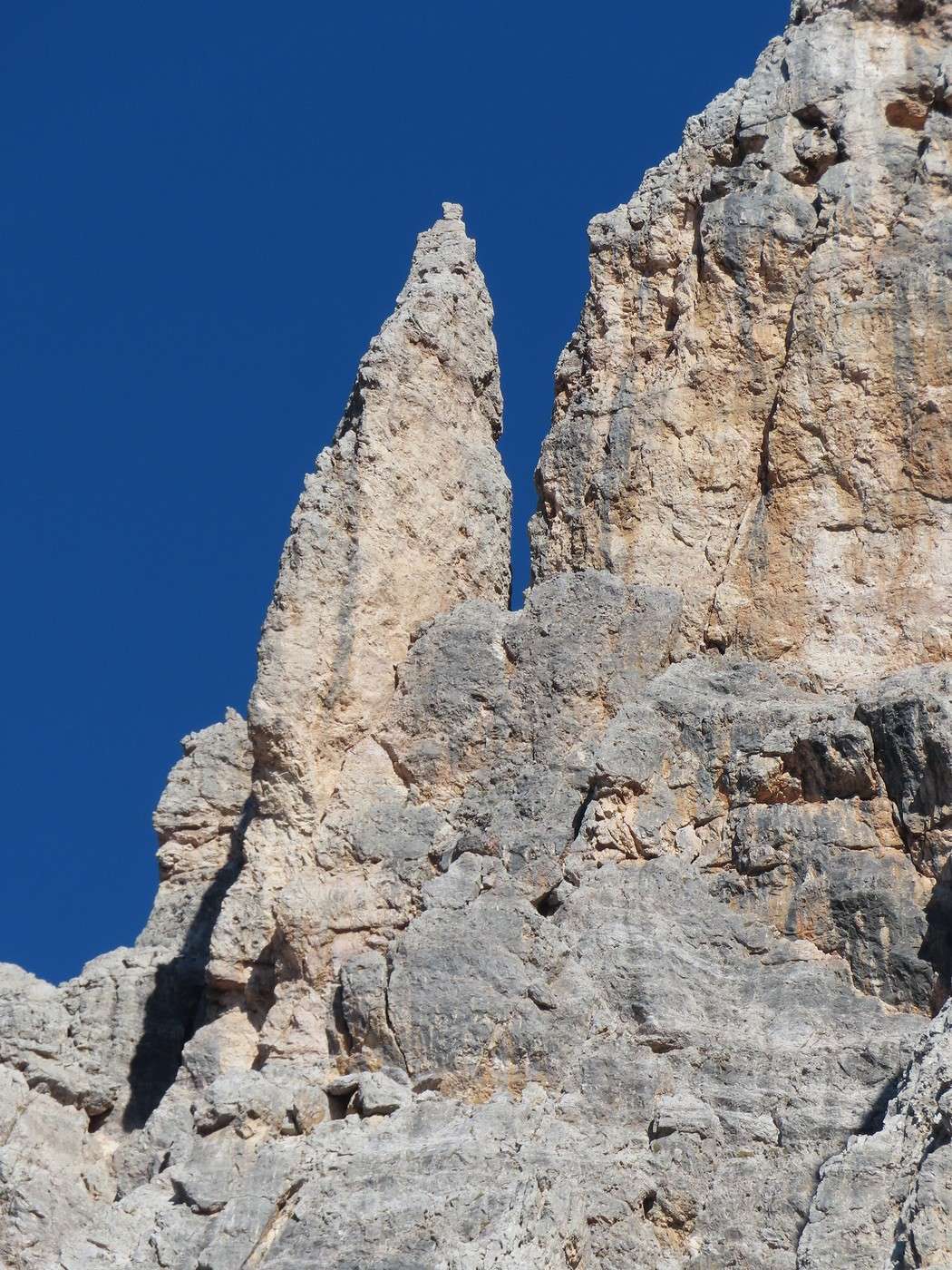
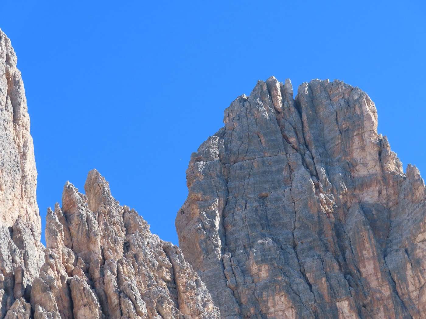
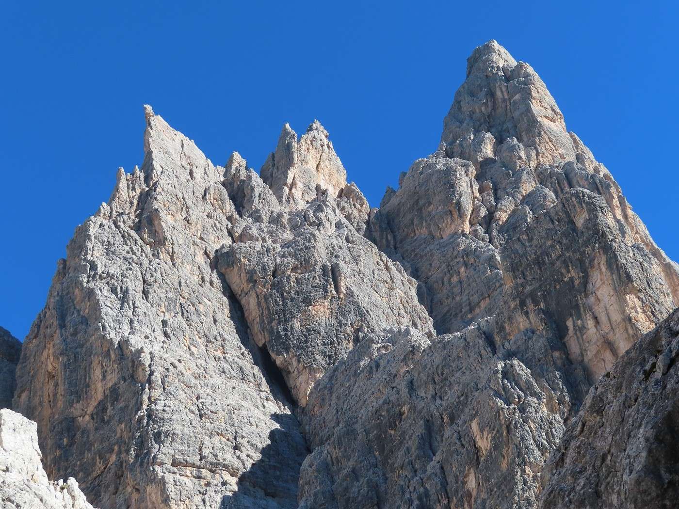
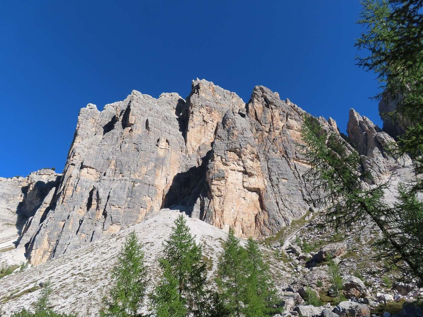
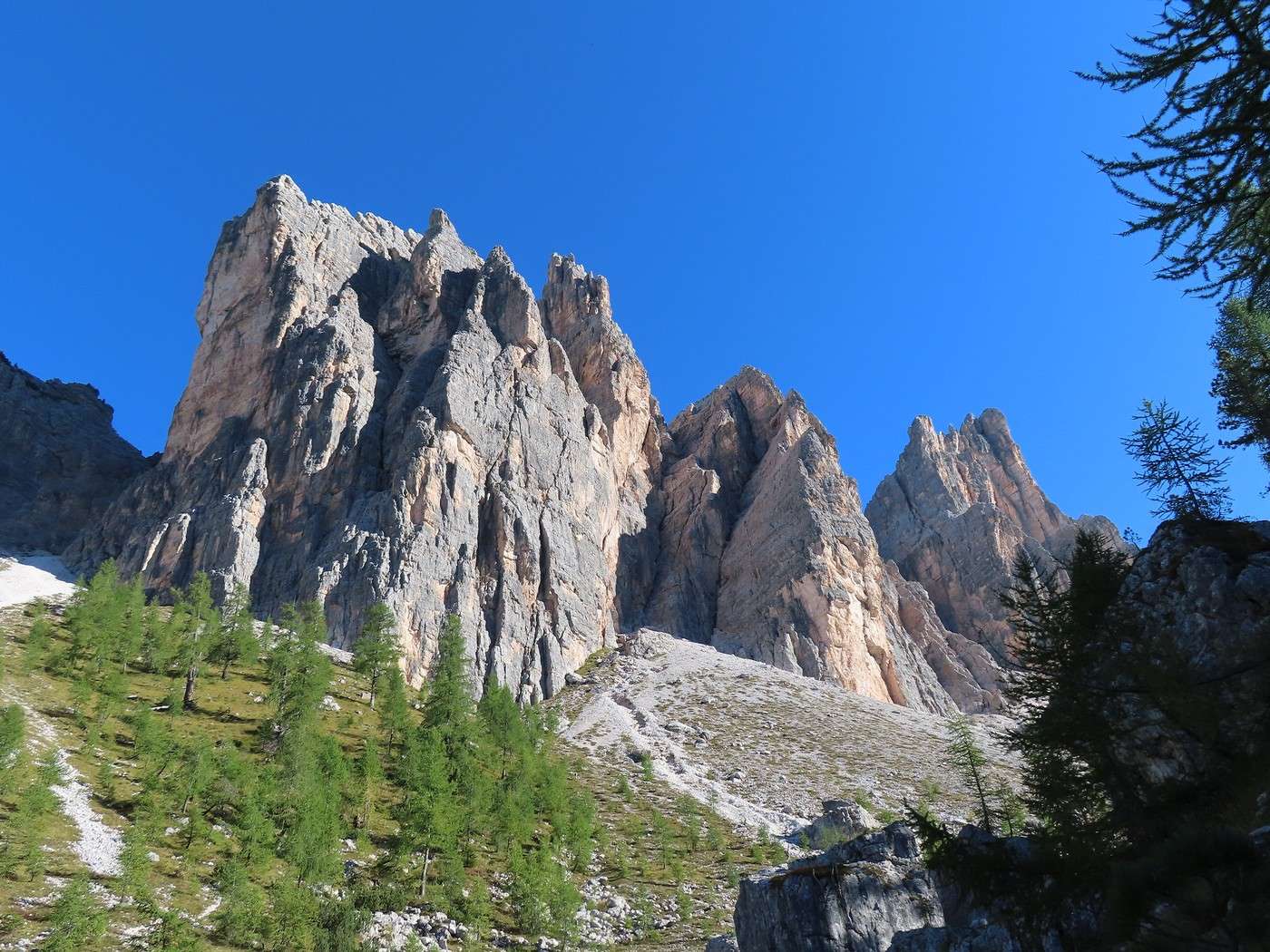
The walls and characteristic spires of the Dolomites are very close in the Croda da Lago massif; they tower over the entire descent trail that remains to be covered, and this massif (Croda da Lago) is one of the most remarkable for this type of formation. Here’s a wall quite close to the summit.


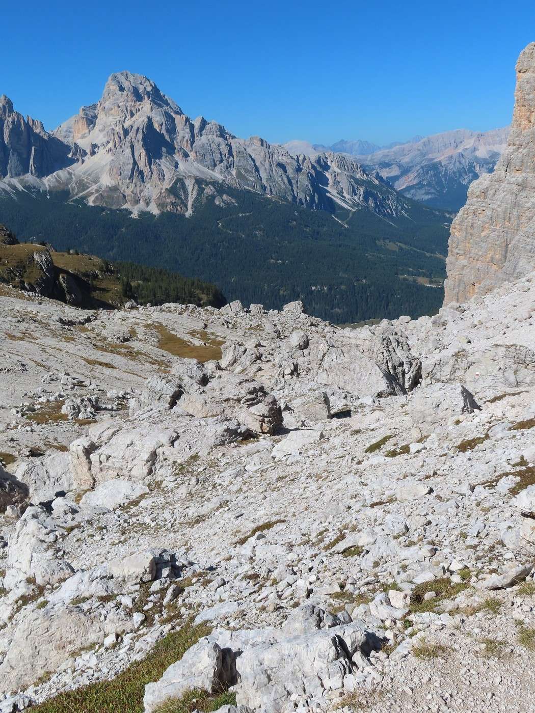
I begin the descent into the Formin valley—a long, not very easy section through a chaos of boulders of all sizes created by rockfalls. You have to be careful not to lose the trail; luckily, the markings (paint on the rocks) are well done.


More to come in the next post.

Veneto: Dolomites and Opera

Valmichel86 · 2026-02-26 · Message 30 of 36

DAY 16: Friday, September 19, 2025 (continued)

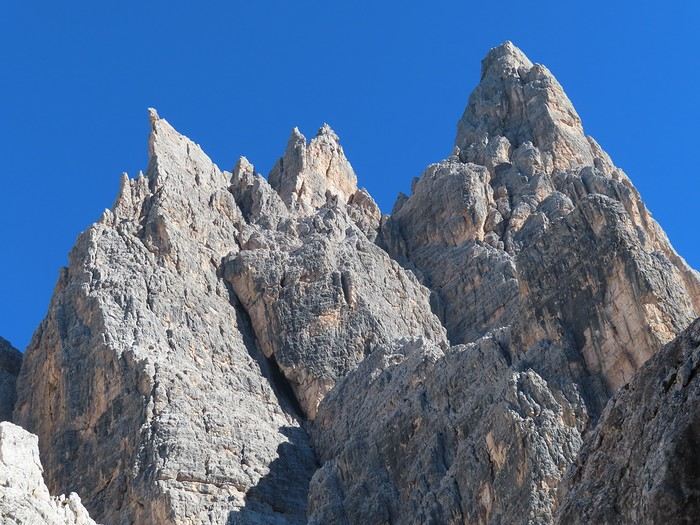
Throughout this descent, the sun shines on the ridge of the massif, which looks like real lacework. The light is perfect, and everything is seen with incredible clarity.


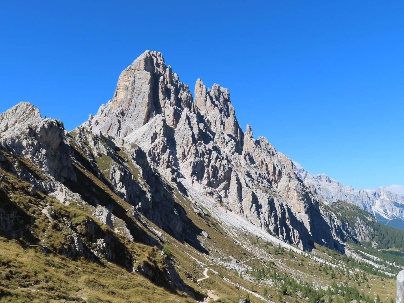
In the massif, north of Cima Ambrizzola (the highest point), there’s a whole alignment of needles stretching for several kilometers. The trail runs alongside this alignment, staying roughly at the bottom of the Formin valley.


Since the trail hasn’t yet entered the forest (you have to descend further to reach the forest level), I’m walking through rocky chaos (scree and larger boulders), with nothing but jagged walls above me.


The same kind of landscape continues when I enter the forest (larches) that occupies the lower part of the valley.


I meet up with the outbound route at the Cason del Formin junction. From there, it’s the return trip to the road. A magnificent hike and a perfect day to do it. Moderate foot traffic on the outbound route (heavy around the lake) and light on the return from forcella Ambrizzola (except for the final stretch after Cason del Formin—it was the time most people were heading back). It’s already September 19, which might explain that.

Elevation info: Ascent and descent are roughly 900 meters each. The passage under the Croda da Lago massif in the Formin valley is spectacular (photos above). I really want to emphasize that the ideal time is in the afternoon (or even the second half of the afternoon), with the sun—preferably. I had these perfect conditions.

A quick note on the Dolomites groups listed as UNESCO World Heritage sites. There are 9 groups (which can vary greatly in size—some large, some small). I’ve explored 3 of them: Group 2: Marmolada (Day 5) Group 5: Northern Dolomites, one of the most extensive (Day 12 Tre Cime di Lavaredo and Day 15 Lake Sorapis) Group 1: Pelmo Croda da Lago (Day 16 Croda da Lago) The others are farther from Cortina d’Ampezzo.

The area around Cortina d’Ampezzo is packed with possibilities, each more interesting than the last. I deliberately didn’t try to be original in my choices because I wanted to do these well-known hikes. If I’d stayed in Cortina longer, I would’ve continued the *Sentiero Italia* route for a few more stages from Pralongia (where I stopped), with a priority on the "Lagazuoi, forcella Travenanzes, and val Travenanzes" section. I still have to prepare for my departure tomorrow morning.

Veneto: Dolomites and Opera

Sinforosa · 2026-02-26 · Message 31 of 36

You're a real athlete!

But the effort is worth it because the landscapes are breathtaking.

Veneto: Dolomites and Opera

Valmichel86 · 2026-02-28 · Message 32 of 36

Hi Marie, I admit I have a soft spot for that last hike (Croda da Lago) because of the variety of landscapes—lake, pass, distant peaks, and the spires of the Croda da Lago massif. It’s on this hike that I took the most photos. We’re really at the top of what you can find in terms of hiking here. I’ll take your post as an opportunity to share a bit more about the turquoise color of Lake Sorapis (from the previous hike). I read that it’s caused by "glacial flour," tiny particles scraped from the rock by the Sorapis glacier (friction of the ice against the ground). These particles are carried into the lake in summer when higher temperatures cause significant glacial melt. The lake has no outflow; its level fluctuates based on losses (evaporation, seepage) and inputs (snowmelt, glacial melt), which peak in spring and summer. I read that it drops noticeably in autumn when lower temperatures reduce and eventually stop the glacial melt. All of this is temporary, though—the Sorapis glacier is small, and its lifespan is limited due to climate change.

Veneto: Dolomites and Opera

Valmichel86 · 2026-02-28 · Message 33 of 36

Day 17: Saturday, September 20, 2025

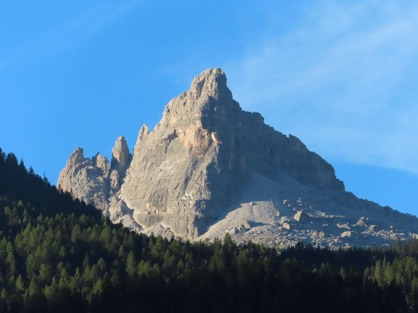
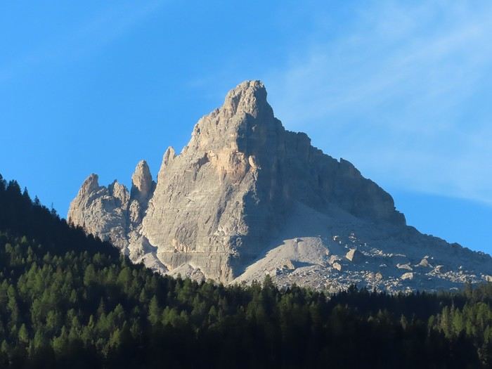
Today, I’m leaving (a little) the Dolomites—or at least the Dolomites around Cortina d’Ampezzo. I’m also setting aside hiking for the rest of the trip. I’m heading to Belluno (Belluno is in the Dolomites) to spend two days in and around this city (the provincial capital of the Dolomites in Veneto). But before I leave, and especially before the sun gets too high, I’m going to photograph Becco di Mezzodì (see yesterday) from the area near the campsite, a view at the very start of the morning.


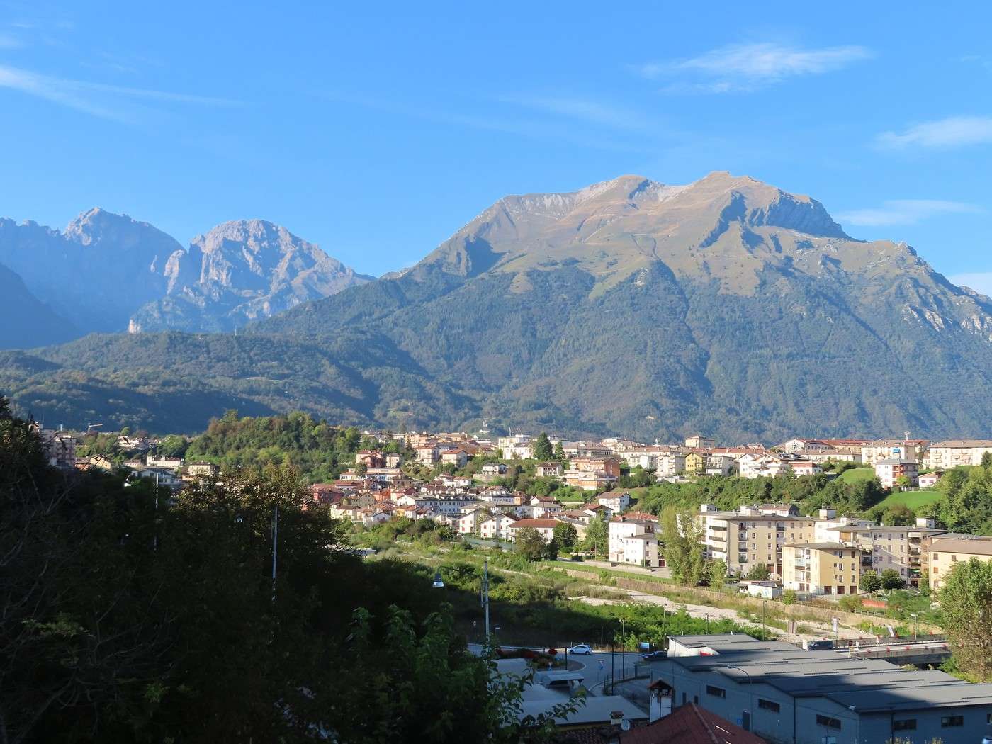
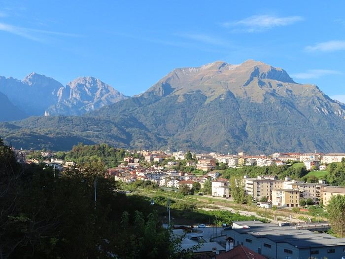
Belluno sits on a spur near a bend in the Piave River. On this stretch of the Piave, the Dolomites rise up to 2,500 meters on the right bank, while the Prealps reach 1,600 meters on the left bank. So, it’s still mountainous here, even though Belluno itself is only 400 meters above sea level. The campsite is in the Prealps near Monte Nevegal. Since it’s just a short drive, I’ll settle in, grab a bite, and head down to Belluno to explore the city in the afternoon. To give you an idea of Belluno’s setting, here’s a shot of an outlying neighborhood with the Dolomites in the background (photo taken from a viewpoint in the city center).


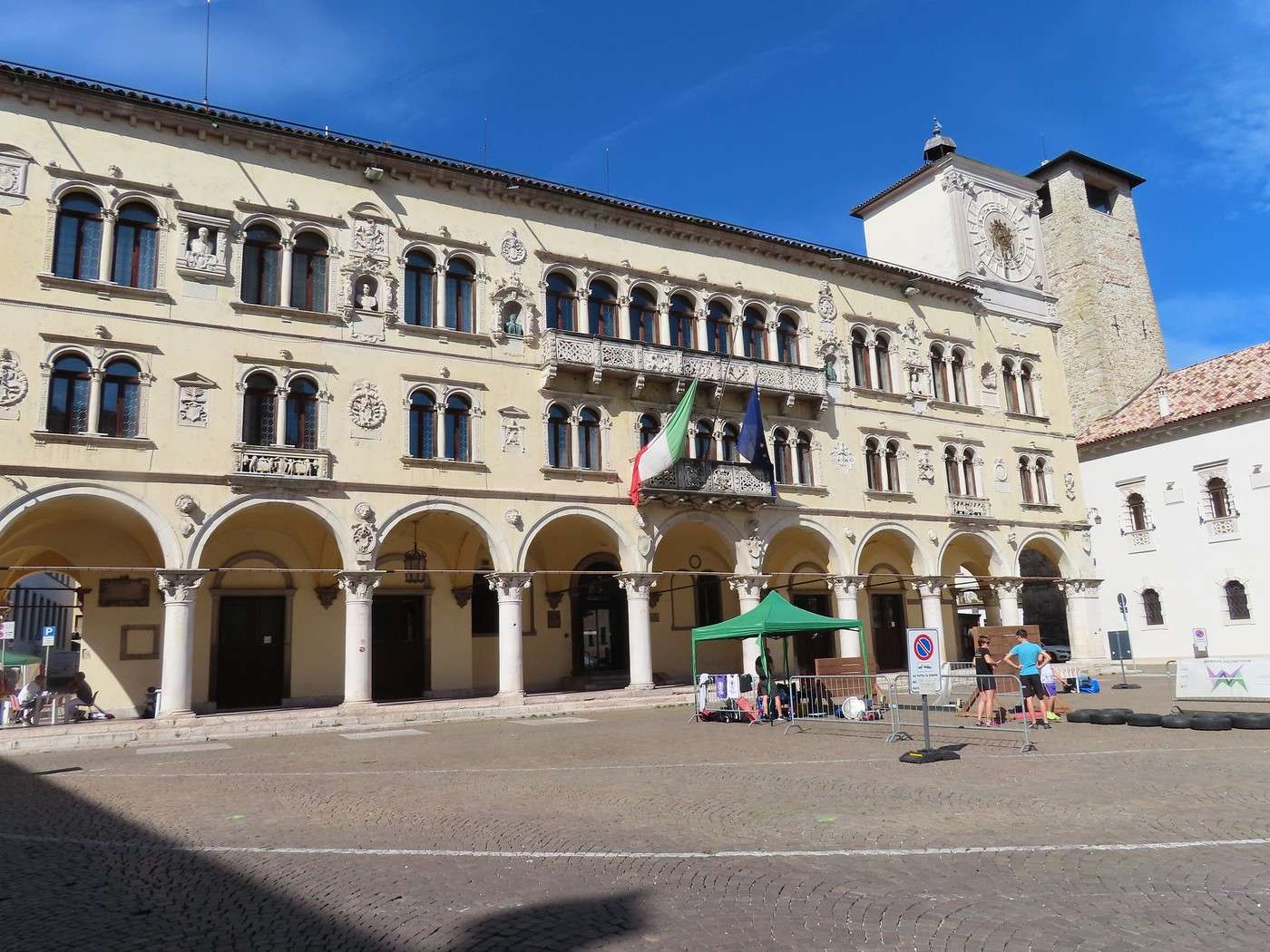
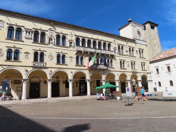
You enter the historic city through the *Porta Dante* and immediately arrive at *Piazza Duomo*. On the north side of the square, the Palazzo dei Rettori (Palace of the Venetian Podestà) is a Renaissance building with an arched portico on the ground floor and a loggia on the upper levels. In my opinion, it’s the most beautiful building on the square—it was mostly built in the 16th century and now houses the prefecture. In the background to the right, the Torre Civica (Civic Tower) is older in origin but has undergone several partial reconstructions. Throughout this part of the city (*Piazza dei Martiri*, *Piazza Duomo*), it’s Association Day today, mainly for sports groups. There are lots of people—parents, kids, teens—getting information, and some are even trying out activities where possible (mini volleyball or basketball courts, for example).


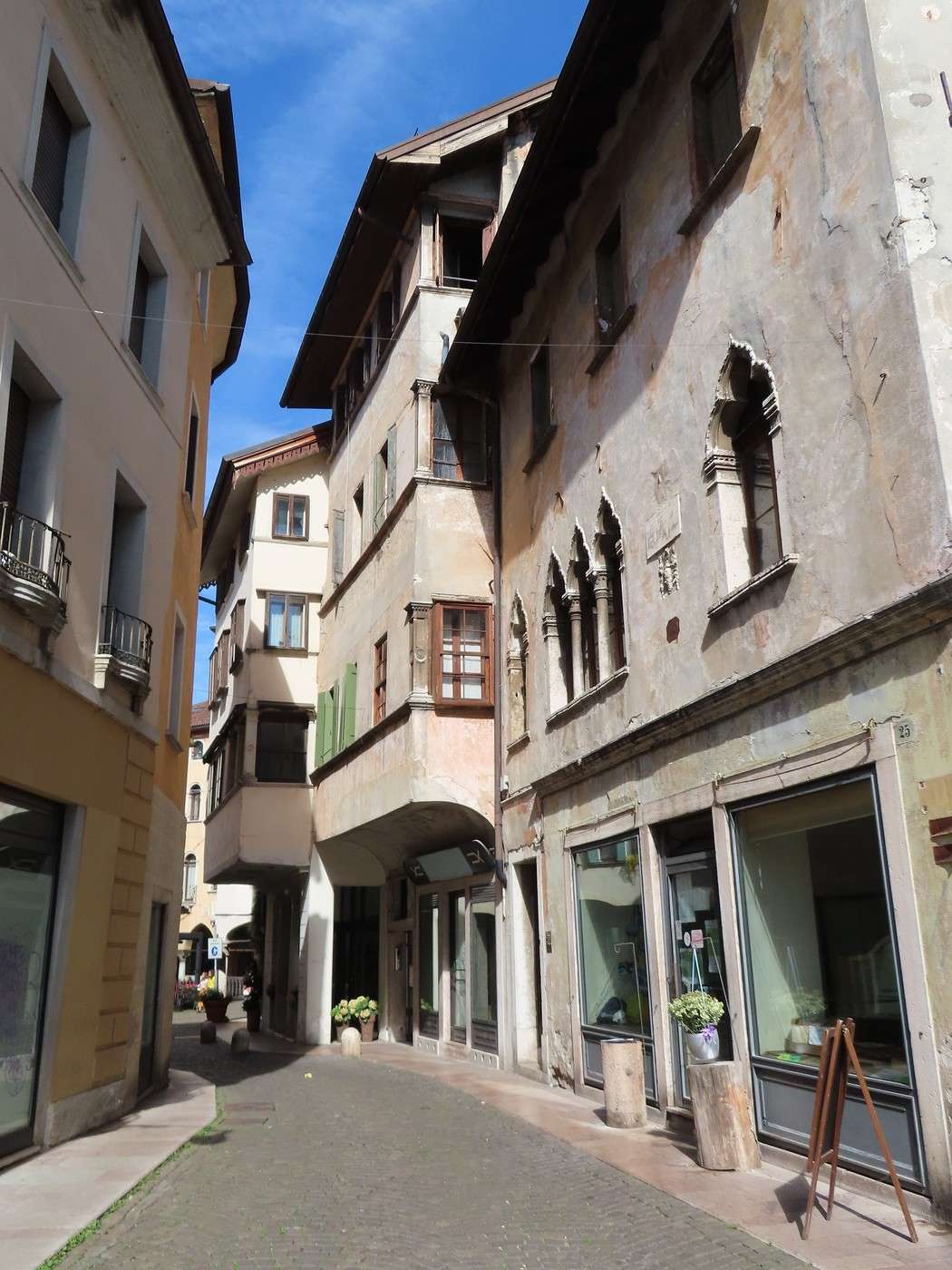
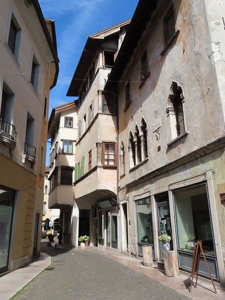
Next, I wander through some of the oldest streets in the city. This is where Roman Belluno once stood.


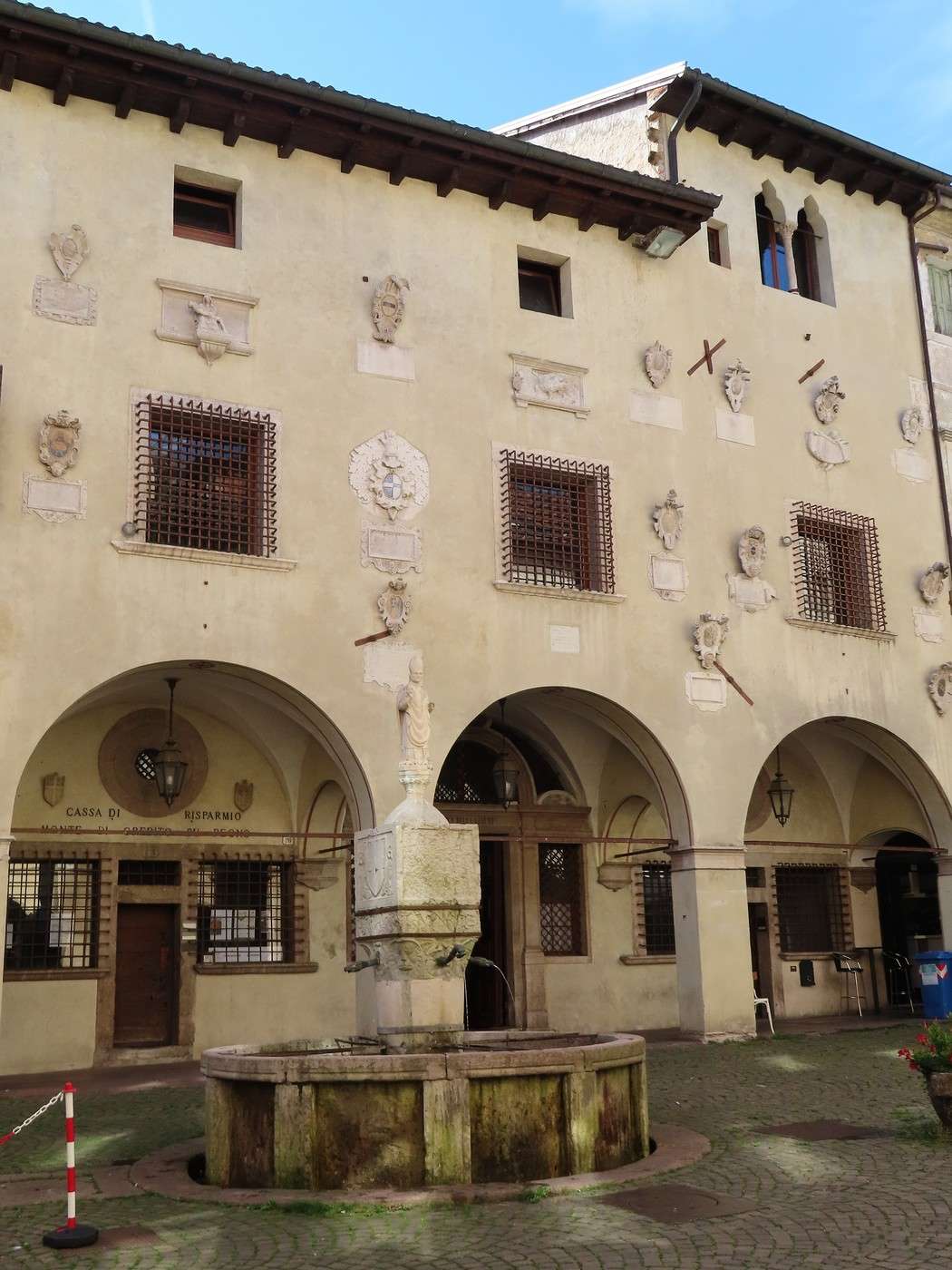
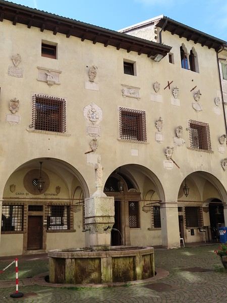
This neighborhood, with its narrow streets, centers around *Piazza delle Erbe* (or *Piazza Mercato*—Market Square), where you’ll find the city’s oldest fountain: Fontana di San Lucano (1409). Almost the entire square is surrounded by arcades and palazzi from the 14th, 15th, and 16th centuries (Gothic and, especially, Renaissance styles). This one (possibly the former Mount of Piety) is decorated with the coats of arms of former Venetian podestà. *Piazza Duomo* symbolizes political and religious power, while *Piazza Mercato* was the hub of business (artisans, merchants) during the Venetian period.


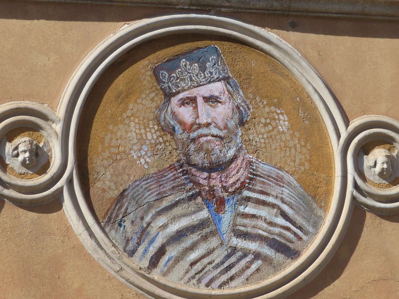
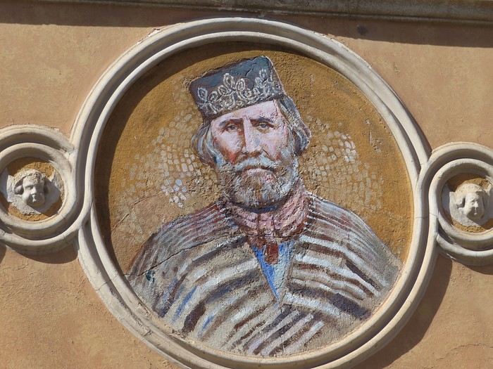
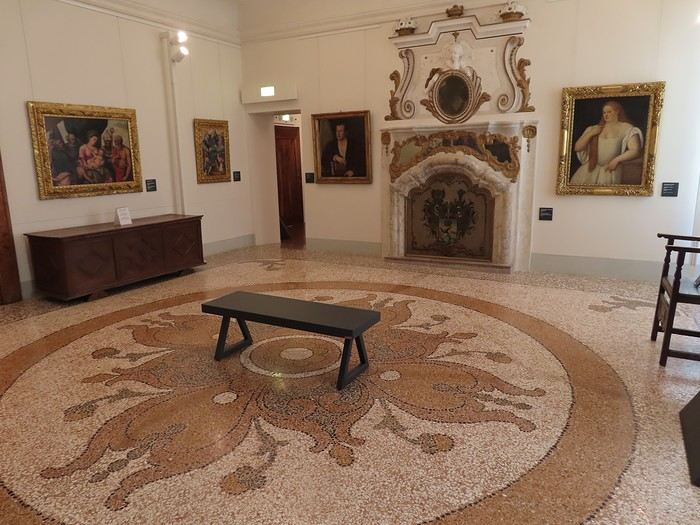
I head to the municipal museum, housed in an 18th-century palace: the beautifully restored Palazzo Fulcis. It’s spacious, with an engaging layout for this art museum, which opened in 2017 (after restoration work). But before going in, the wall of the neighboring pharmacy (Farmacia Perale) features a medallion of Garibaldi—a patriotic touch for an old pharmacy, given the style of the building it’s in.


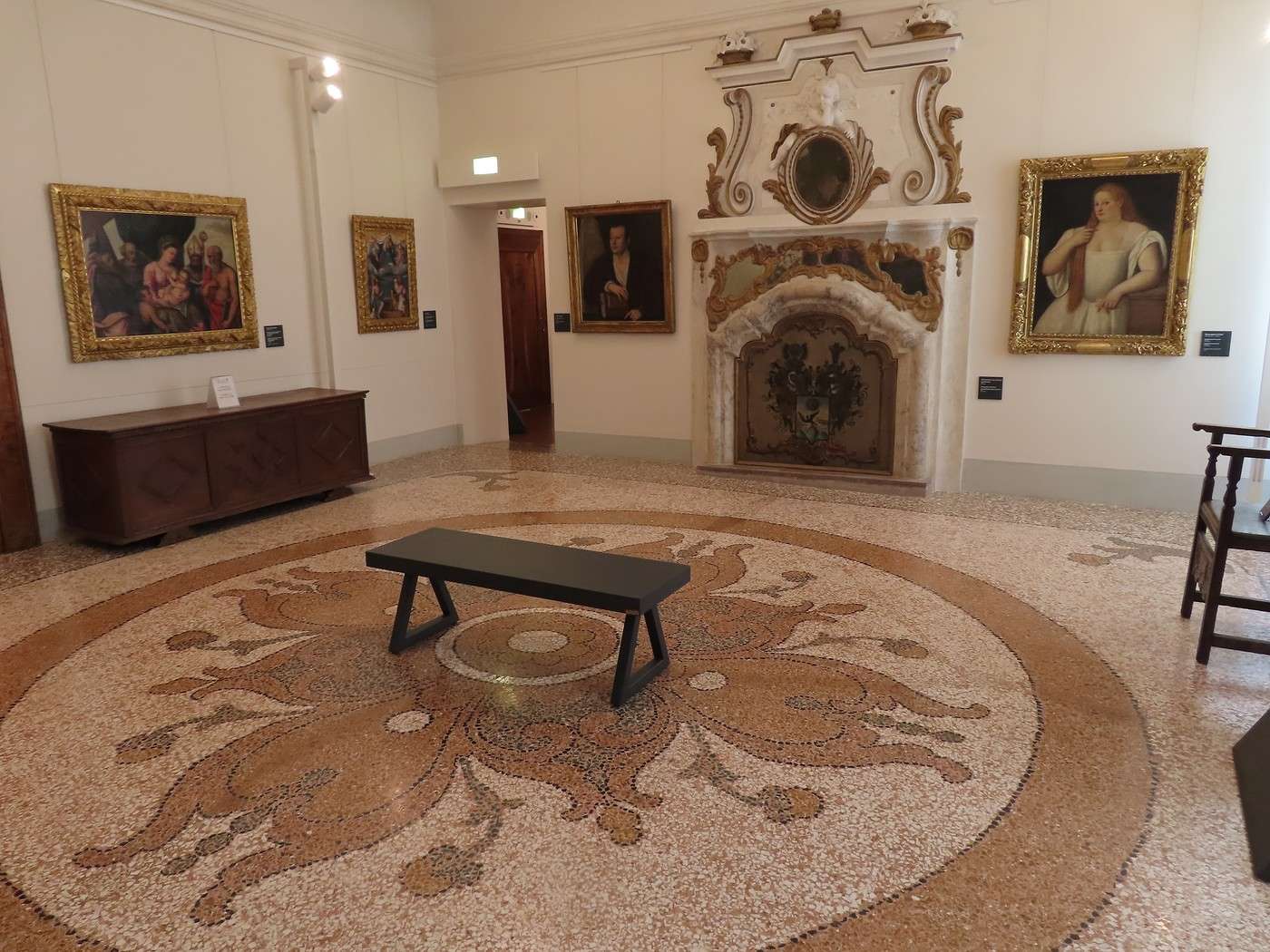
Some rooms, like this salon, reflect the 18th-century palace’s grandeur. A room with an alcove and another with double-height ceilings serve the same purpose.


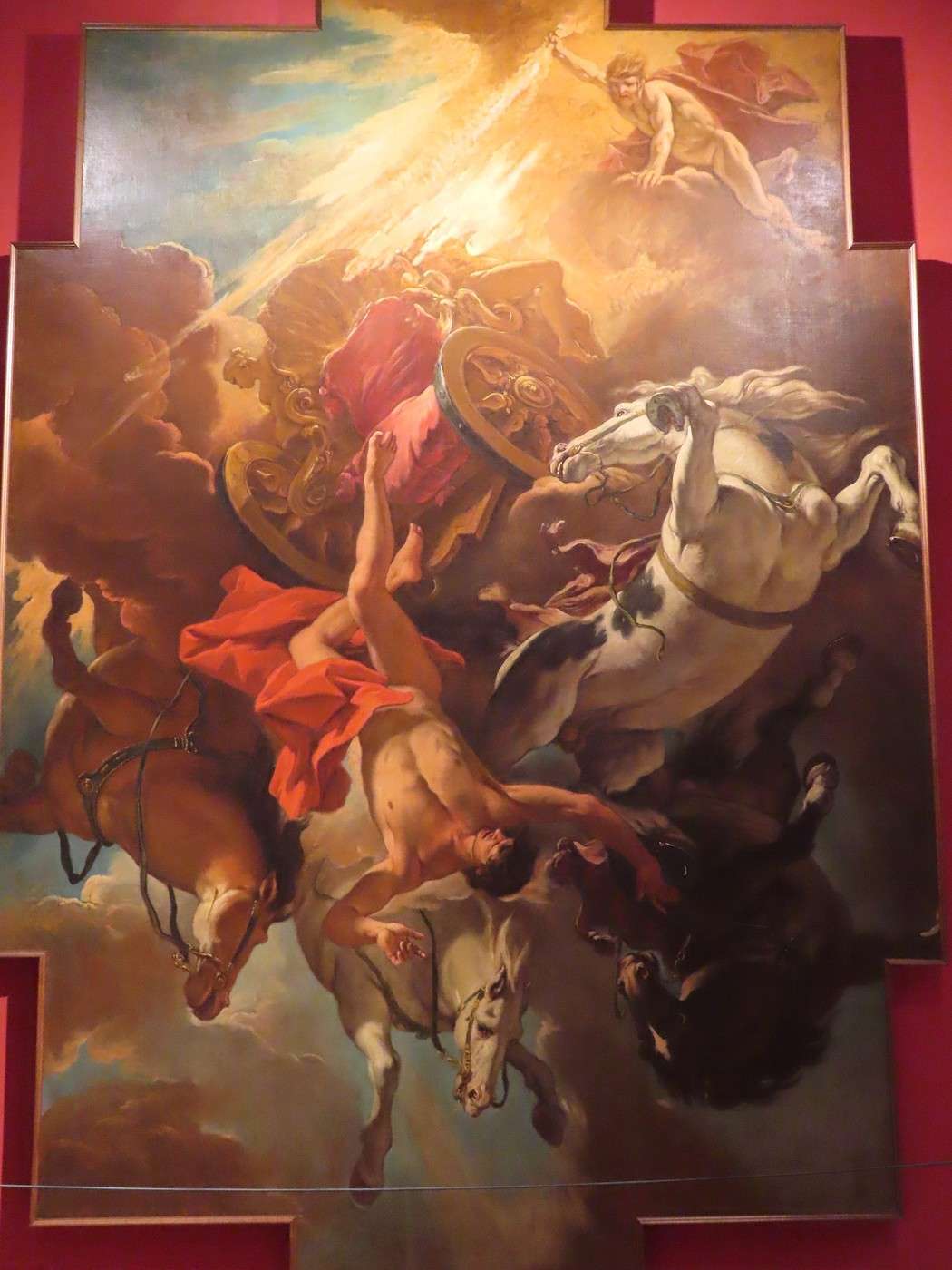
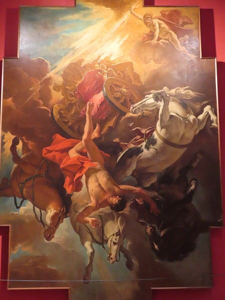
The collections span the modern era (from the Renaissance onward), but I was particularly drawn to the 18th and 19th centuries. The museum’s masterpiece is Sebastiano Ricci’s *The Fall of Phaeton* (1704), a striking painting that captures the sensation of falling (the void, the lack of a landing point). Many artists have tackled this myth. A quick recap of the myth: Phaeton borrowed his father Helios’ (the Sun God) chariot, lost control, and flew too close to Earth, scorching it. To "stop the damage," Zeus struck him down with a thunderbolt.


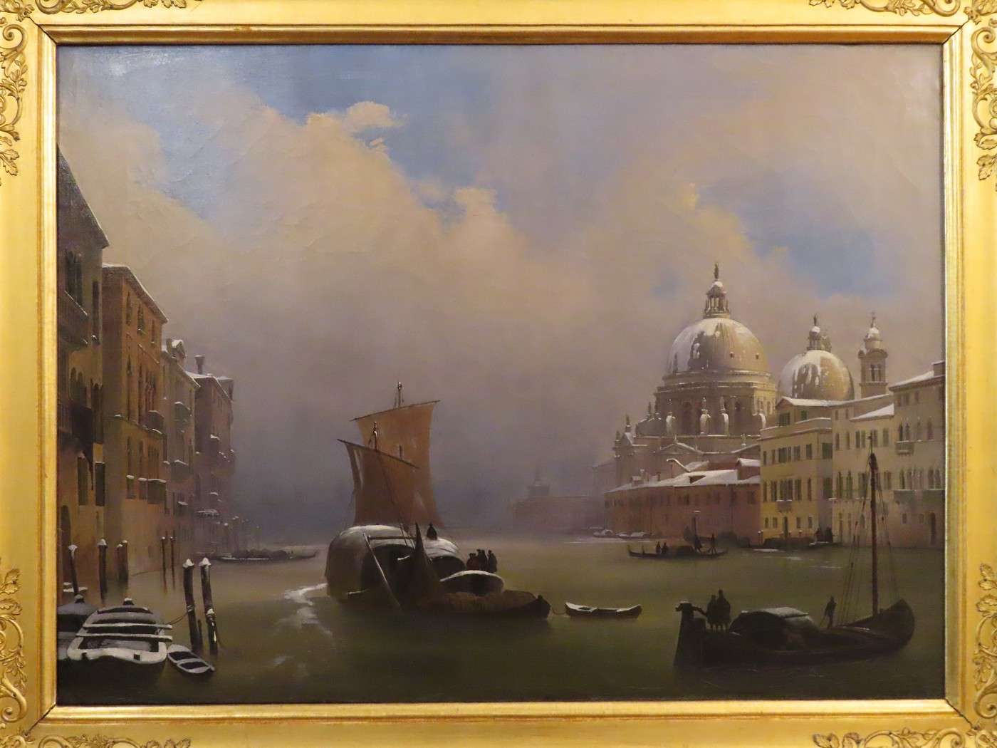
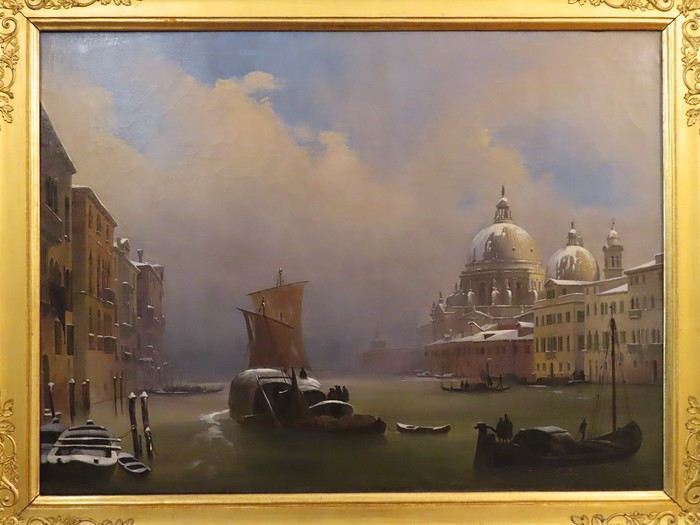
From the 19th century, Ippolito Caffi (a native of Belluno, 1809–1866, and a patriot) was a renowned landscape painter—but not *just* a landscape painter. Here’s his *Snow in Venice* (1841).


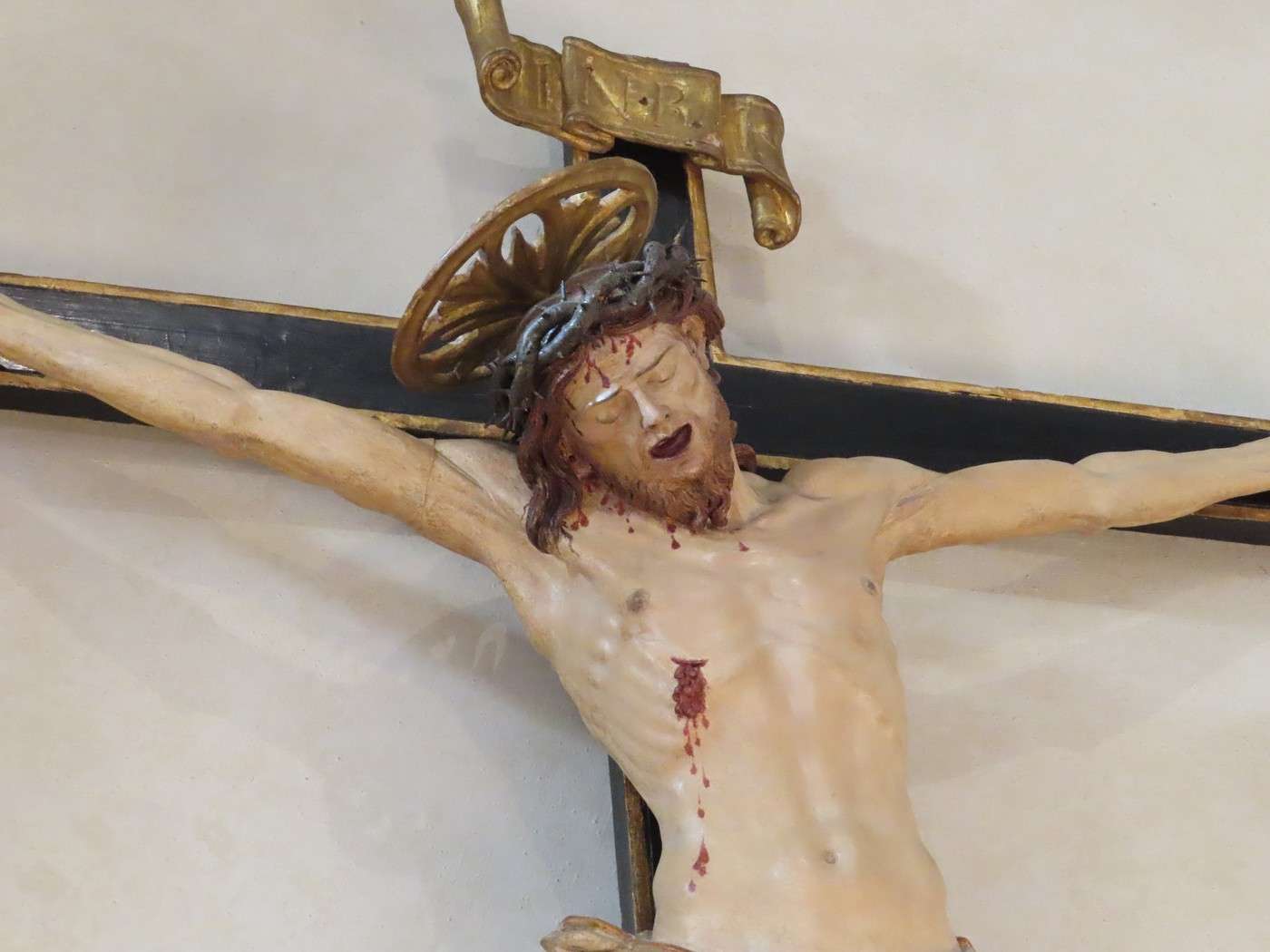
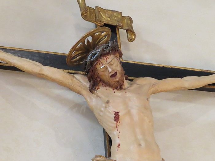
Andrea Brustolon (1662–1732), also from Belluno, was a Baroque wood sculptor who created religious works and furniture for private clients (two distinct lines of work). Here’s a *Crucifixion*—not the one in the museum, but the one in the church of Santo Stefano, north of the city center. I preferred this one for its expressiveness.


Back at the campsite with weather that’s still glorious and temperatures high for an altitude of around 1,000 meters.

Veneto: Dolomites and Opera

Valmichel86 · 2026-03-02 · Message 34 of 36

Day 18: Sunday, September 21, 2025

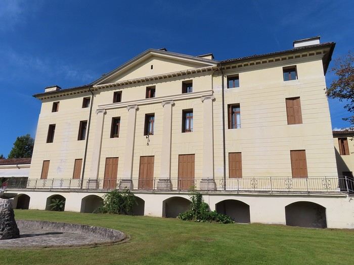
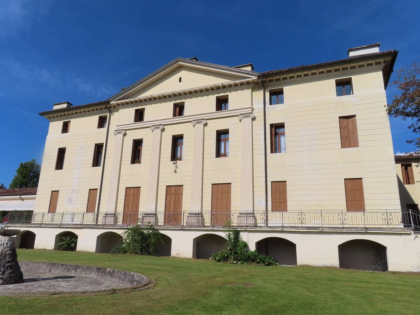
I’m dedicating this beautiful, warm day to the Piave River valley, downstream from Belluno. I head down to Belluno, cross to the right bank of the Piave, and take the road toward Sedico. I visit my first example of a villa in Veneto—I’ll get to see other (much more famous) villas later in the trip. These villas have two parts: a patrician house, often a summer residence for a wealthy family, and a set of agricultural buildings for managing the estate. Both functions are integrated into a single architectural complex. This is the Villa Patt de Manzoni in Sedico, built in the 19th century (architect Giuseppe Jappelli). Here’s the façade of the “noble” section, with typical features: neoclassical style, a projecting section with giant pilasters, and a triangular pediment above.

N.B. I kept the text I wrote for my drive; it references the rest of the trip (which I’m not posting here) and Palladian villas. The architect of this villa was clearly inspired by Andrea Palladio.


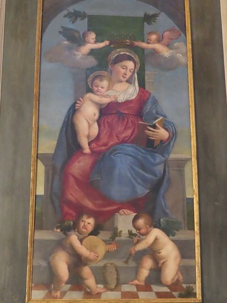
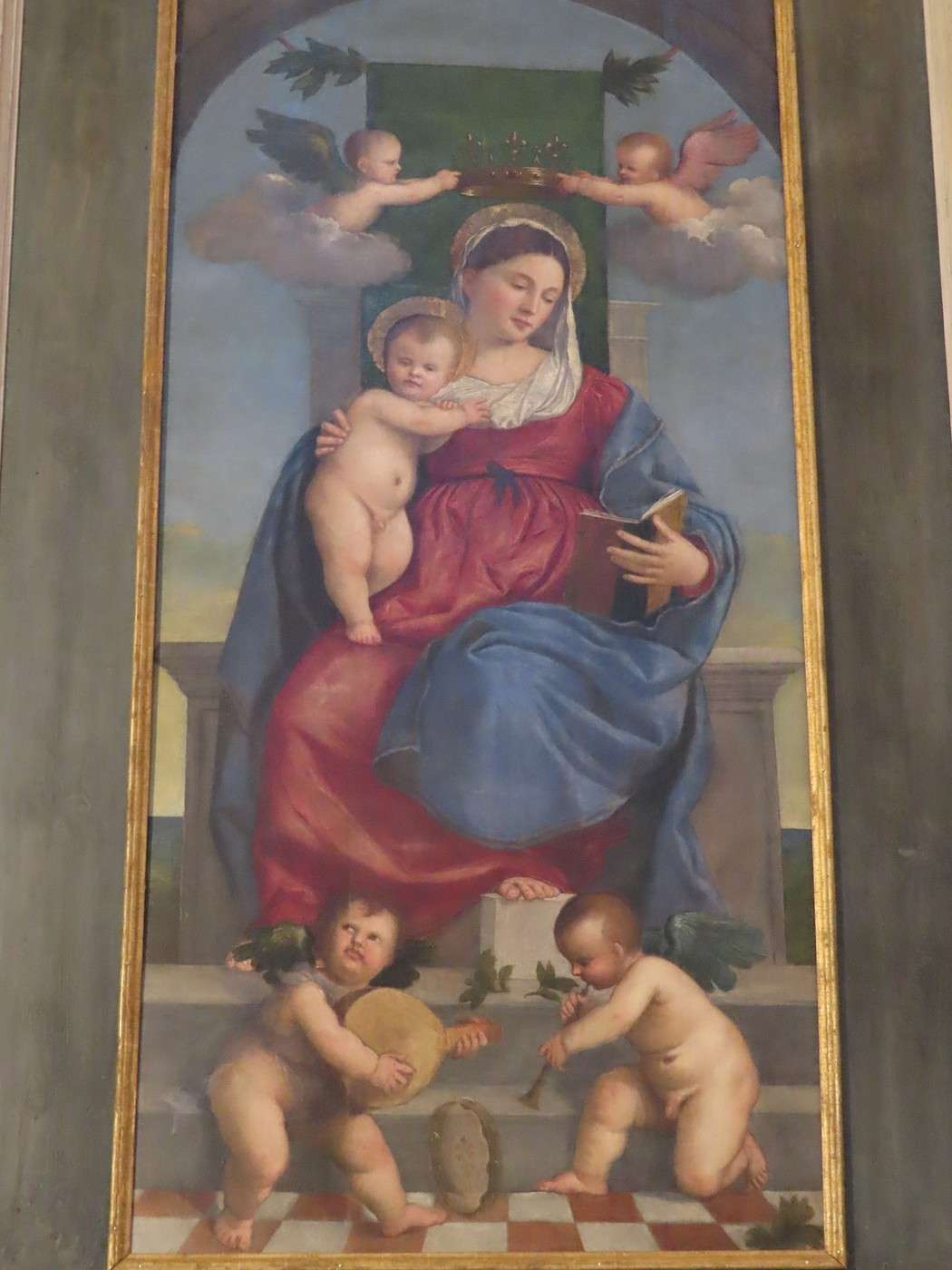
Next, I head to the parish church. It’s Sunday, so I wait for Mass to end before going in. This 20th-century church, built in Romanesque style, houses a work by the Vecellio brothers. These painters are from the region—born in Pieve di Cadore in the Piave Valley upstream from Belluno. But who are they? The most famous is Tiziano (Titian), and his brother is Francesco.
A “Madonna and Child with Musical Angels” is the central panel of a damaged polyptych (all that remains of it).


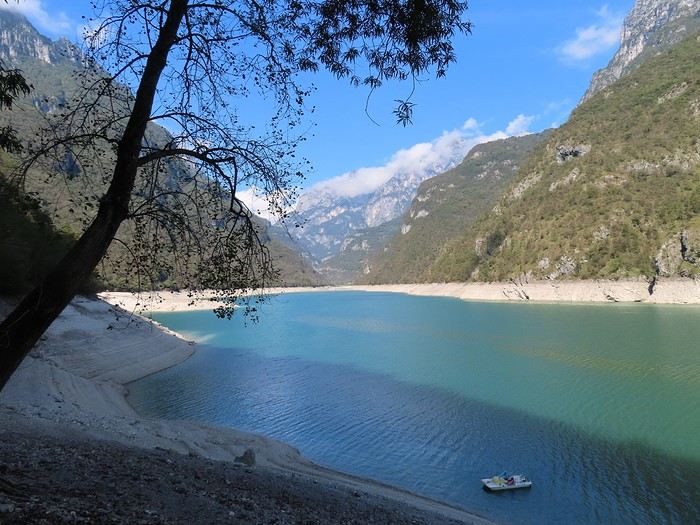
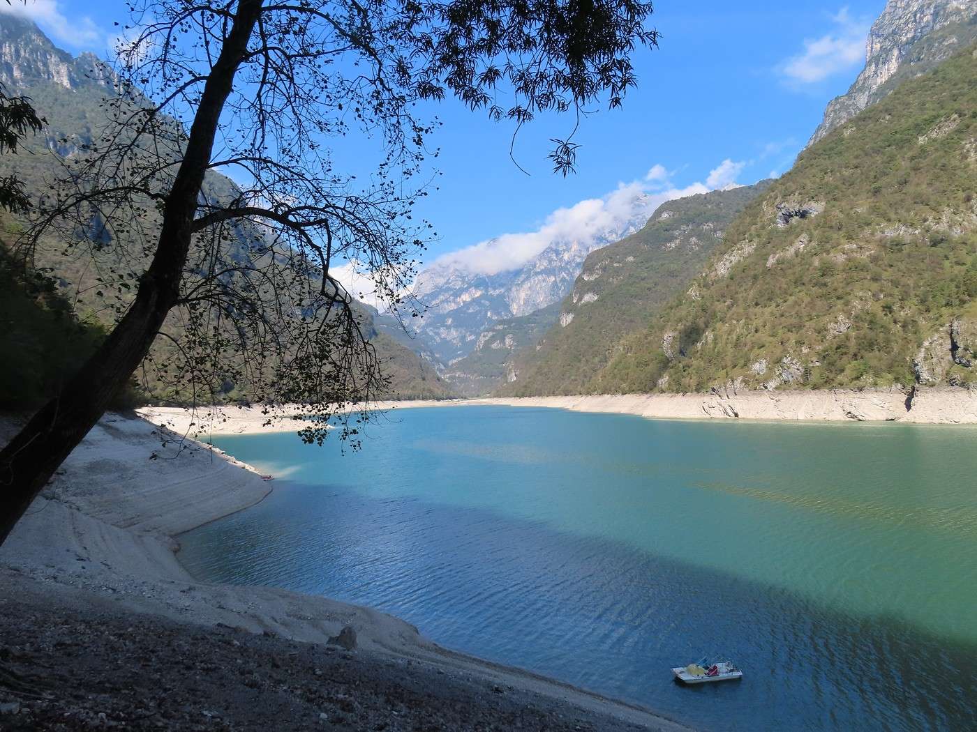
Afterward, I make a detour into the Dolomites, specifically the Belluno Dolomites National Park (Dolomiti Bellunesi). Near Mis, a small dam created a narrow, elongated artificial lake in the “Valle del Mis” (the river’s name).


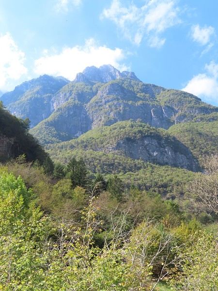
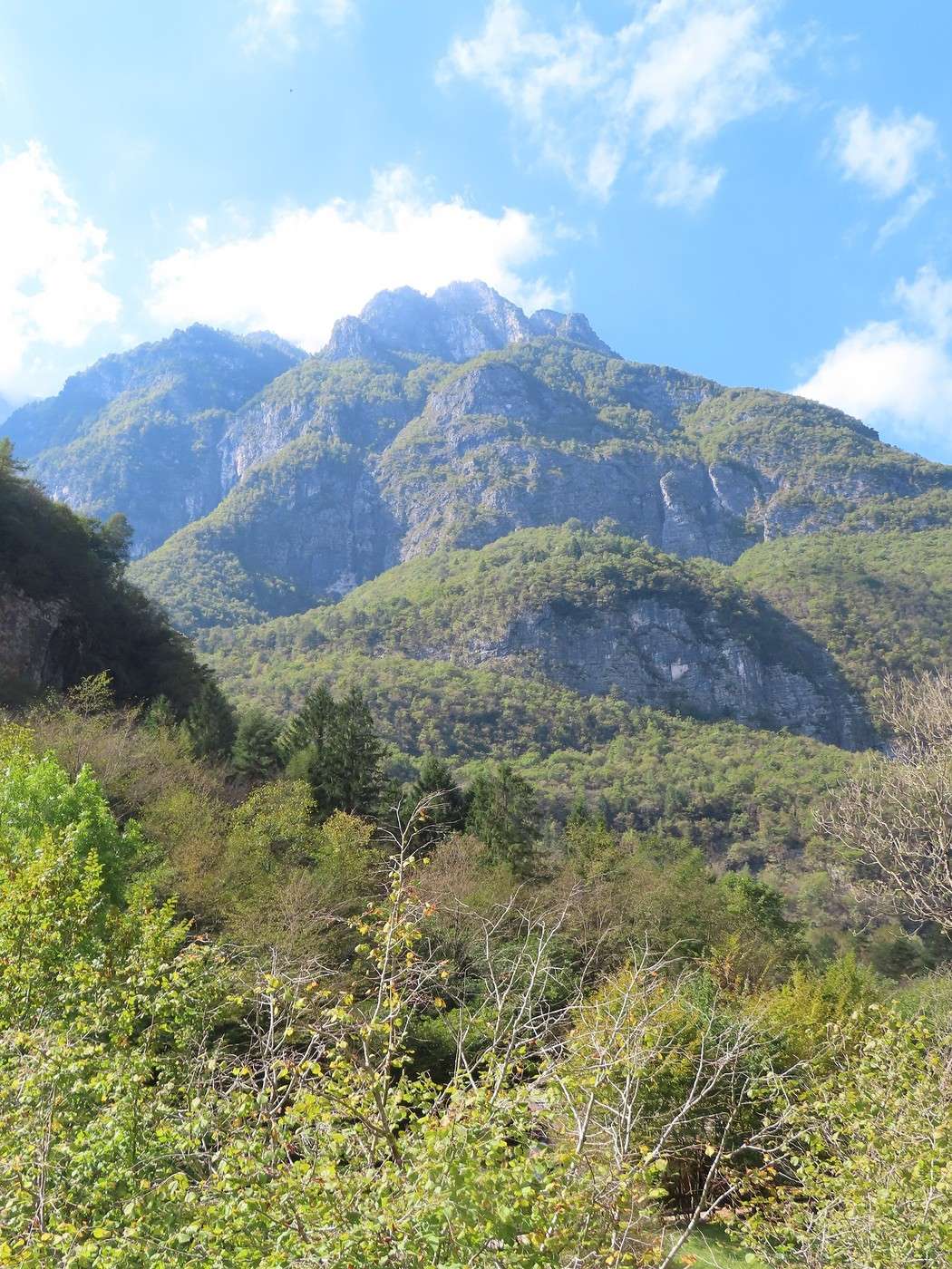
A little farther on, a picnic area (set up by the park) by the lake is perfect for lunch. On my way back, I drive to the end of the lake, where two curiosities await: the “Cadini del Brenton” and the “Cascata della Soffia.” But first, here’s what the Dolomites look like in this part of the range. We’re at about 400 meters in elevation, with peaks either just below or just above 2,000 meters, giving a totally different feel from the area around Cortina d’Ampezzo. This part of the Dolomites is also a UNESCO World Heritage Site—Group 3: Pale di San Martino San Lucano - Dolomiti Bellunesi - Vette Feltrine. When you read that long name and look at the corresponding map, you realize this “group” is actually a patchwork of barely connected areas.


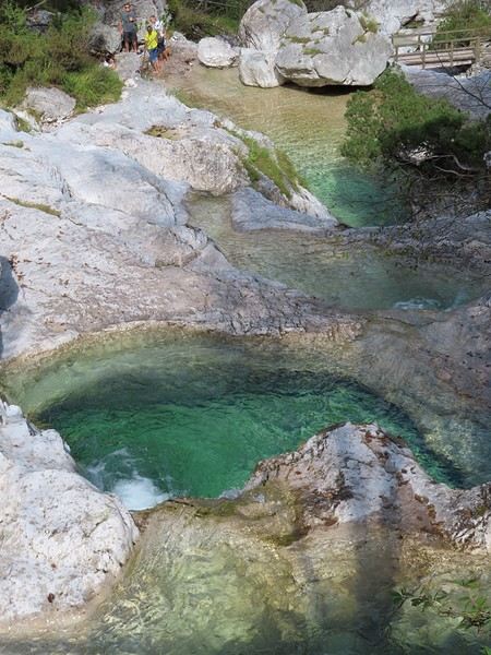
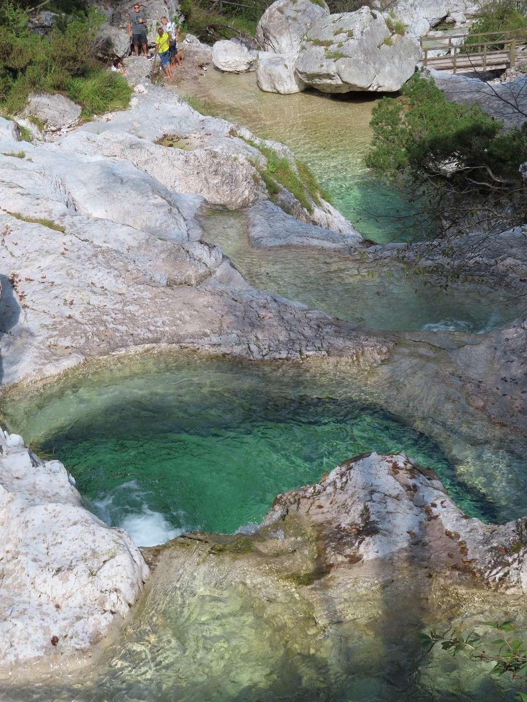
After lunch, I drive to the end of the lake and park. A 100-meter walk away, the “Cadini del Brenton” are a series of basins separated by small waterfalls, carved by the Brenton stream—what we call “giant’s kettles” in English. Entry is paid, but not for me since I’m too old. The welcome was very friendly.


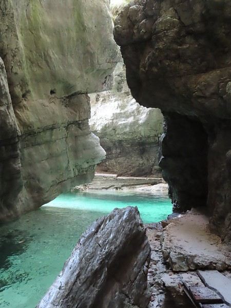
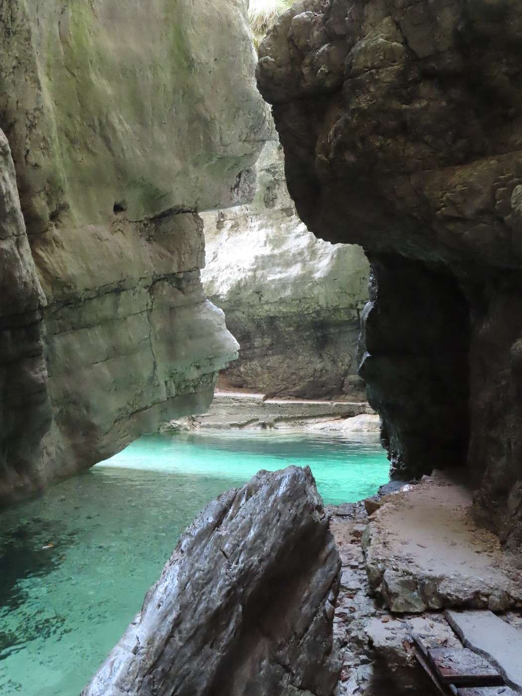
A short walk away is a waterfall (Cascata della Soffia, named after the stream). You can access the upper level via a footbridge. There’s also a way to reach the base of the waterfall by navigating a narrow gorge—fun but a bit tricky (unless it’s been improved).


To be continued in the next post.

Veneto: Dolomites and Art

Valmichel86 · 2026-03-04 · Message 35 of 36

Day 18: Sunday, September 21, 2025 (continued)

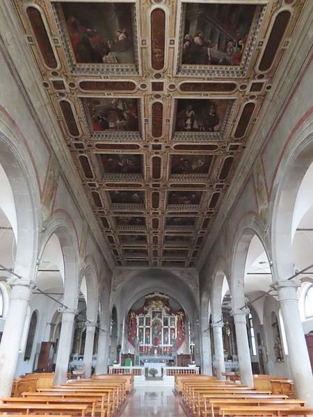
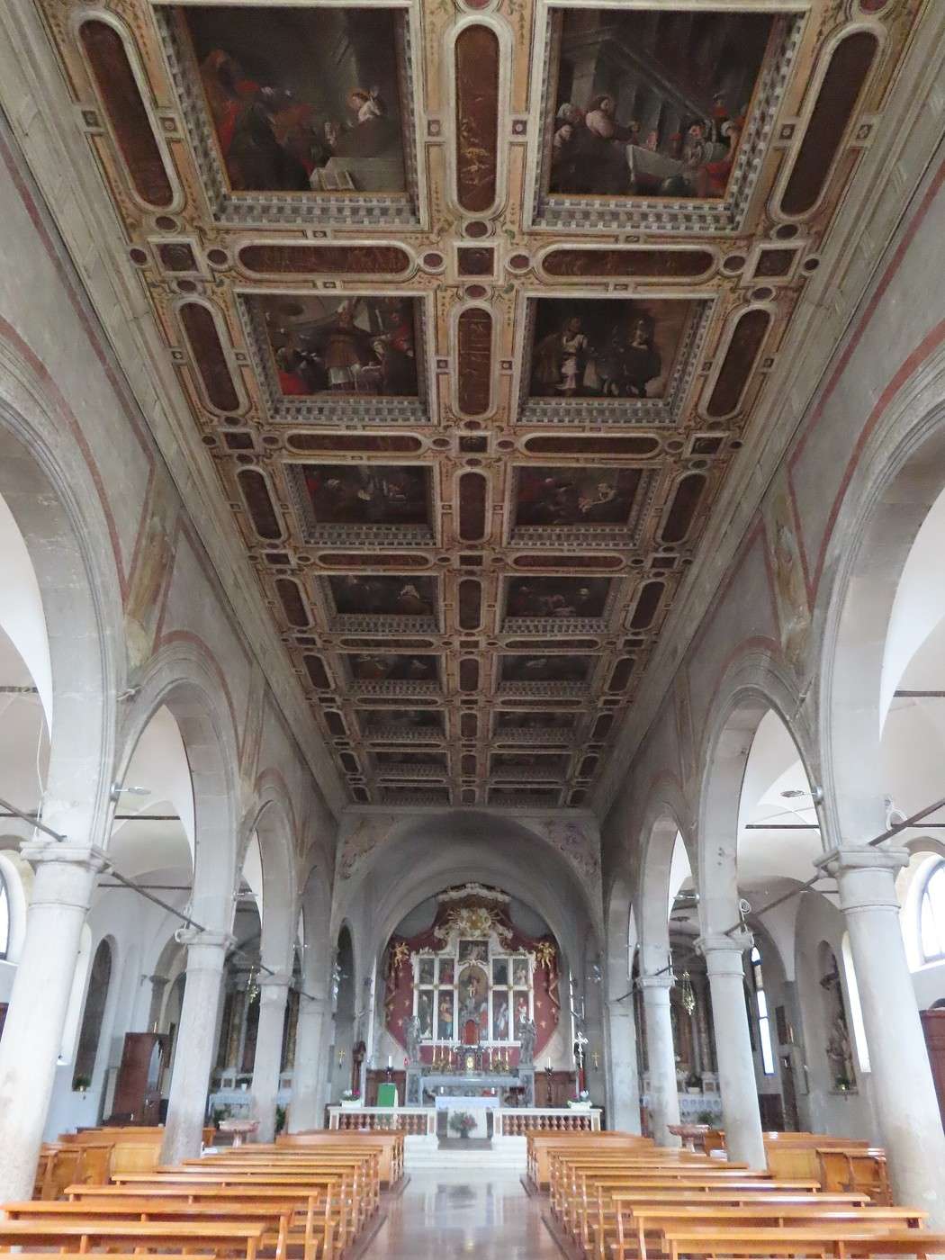
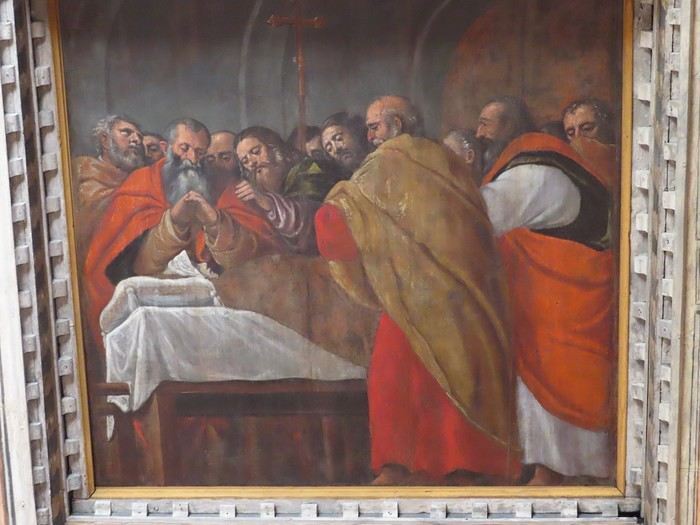
I backtrack (by car) to exit the "Valle del Mis"; I head downstream to find a bridge over the Piave River, then return toward Belluno on the left bank. A sprawling municipality, Borgo Valbelluna, occupies much of this left bank, grouping several villages where I make stops. First up is Lentiai, where the Vecellio family is remembered. In the Church of Lentiai (Chiesa di Santa Maria Assunta), it wasn’t the Vecellio brothers who worked here, but Tiziano (Titian, one of the brothers), his workshop, and a cousin of Tiziano’s named Cesare.
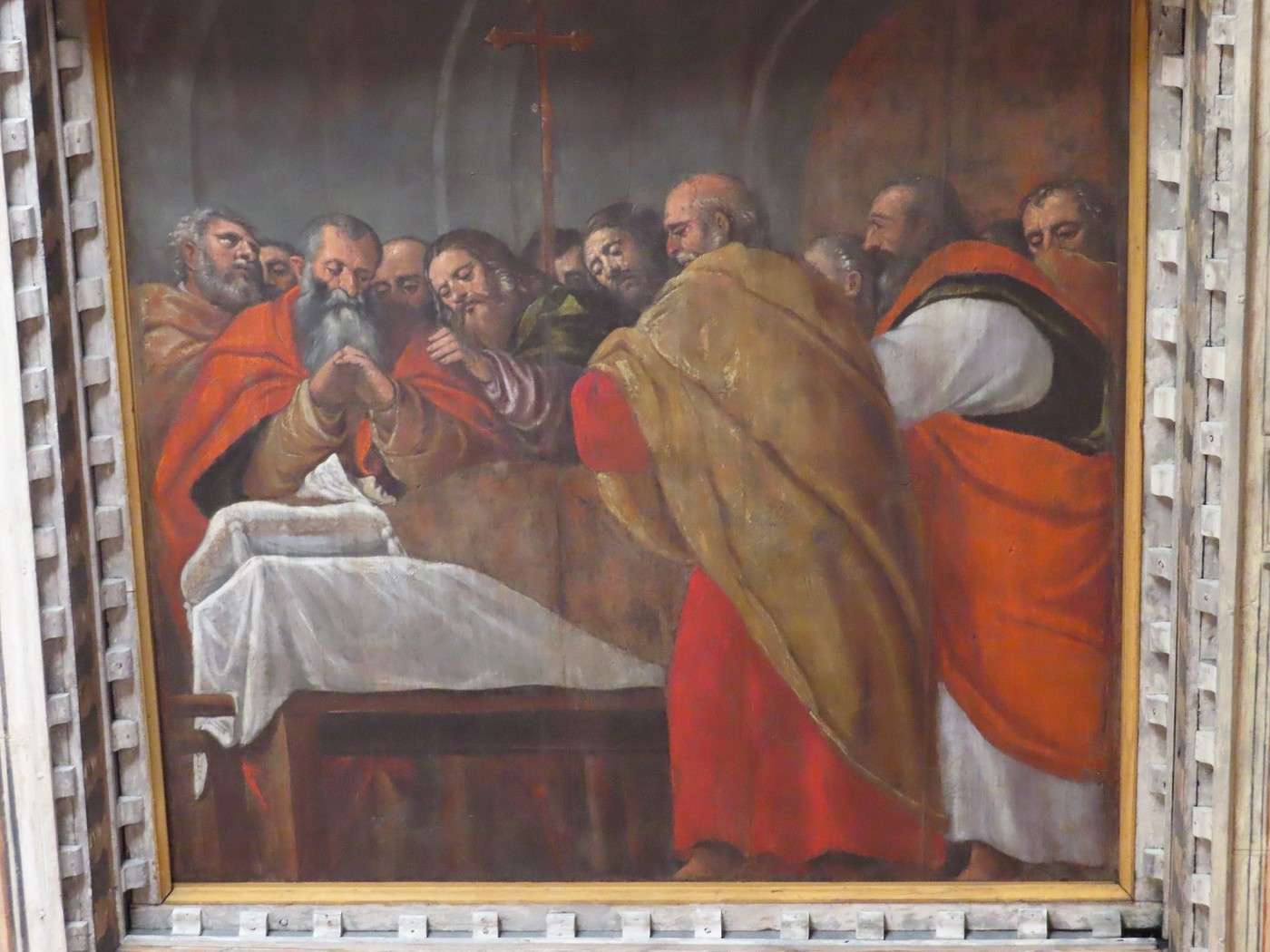
Cesare Vecellio painted the 20 panels of the immense coffered ceiling in the central nave—scenes from the Virgin Mary’s life based on the Gospels.
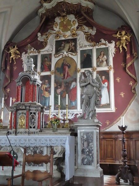
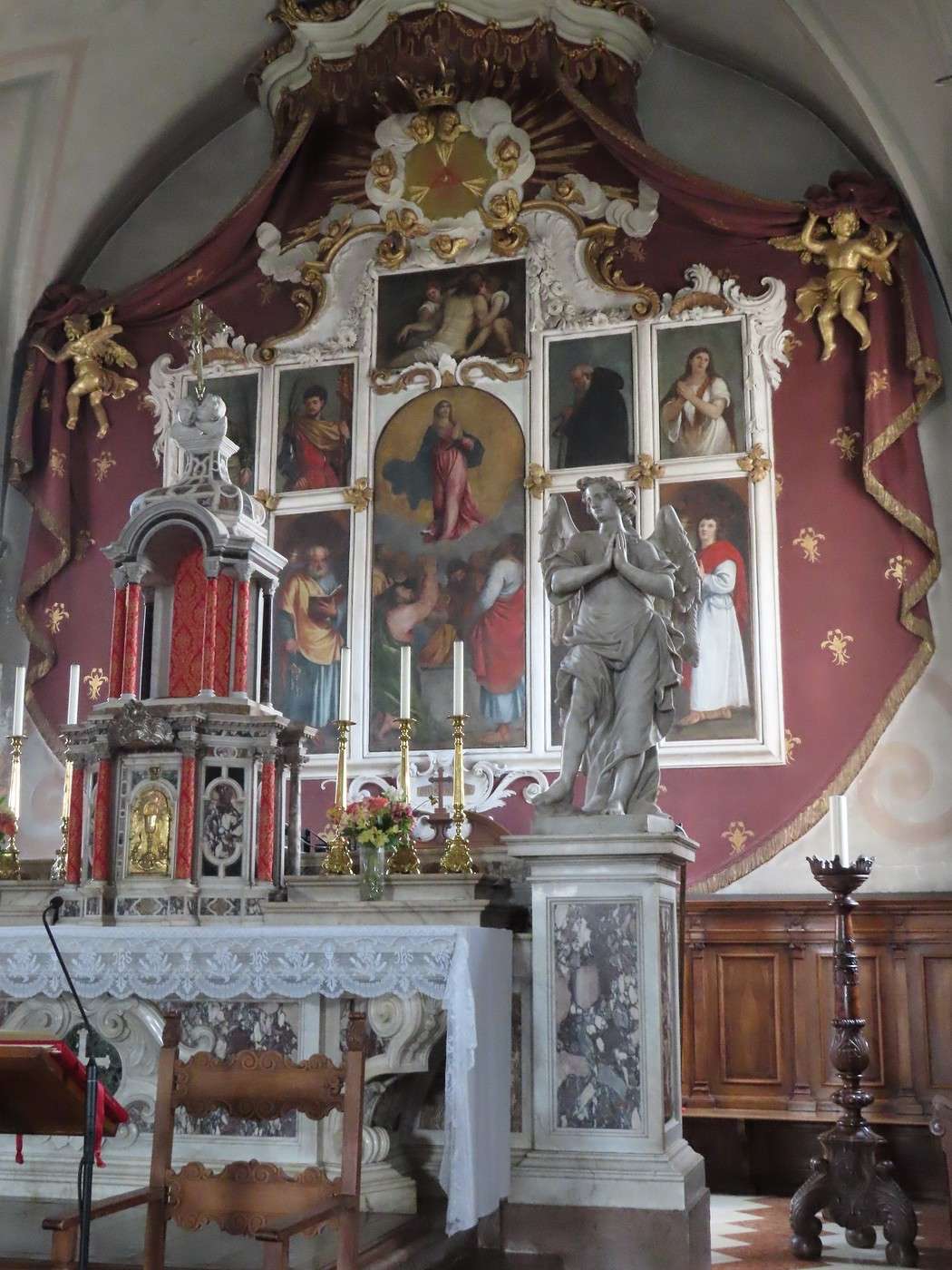
At the far end of the nave, in the choir, you can see a large polyptych with white-framed panels: the Assumption Polyptych. While most of it was done by Titian’s workshop, the masters themselves painted certain panels—the Dead Christ (top) by Cesare, and an unidentified bishop by Titian. This altarpiece is tricky to photograph (due to the altar and reflections).


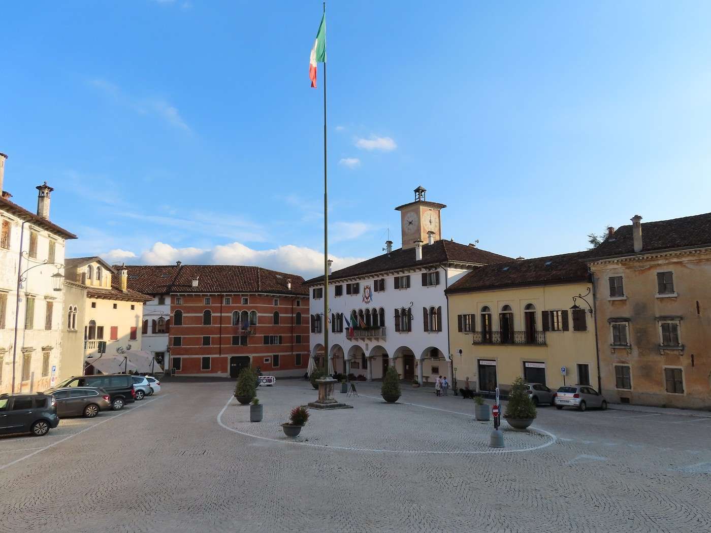
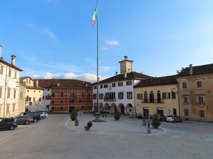
Next, I head to Mel, the most important of the villages making up Borgo Valbelluna, perched atop a hill overlooking the valley. At the center of the town, a large square surrounded by *palazzi* from different centuries of the Venetian period—quite surprising for a village (this isn’t a city).


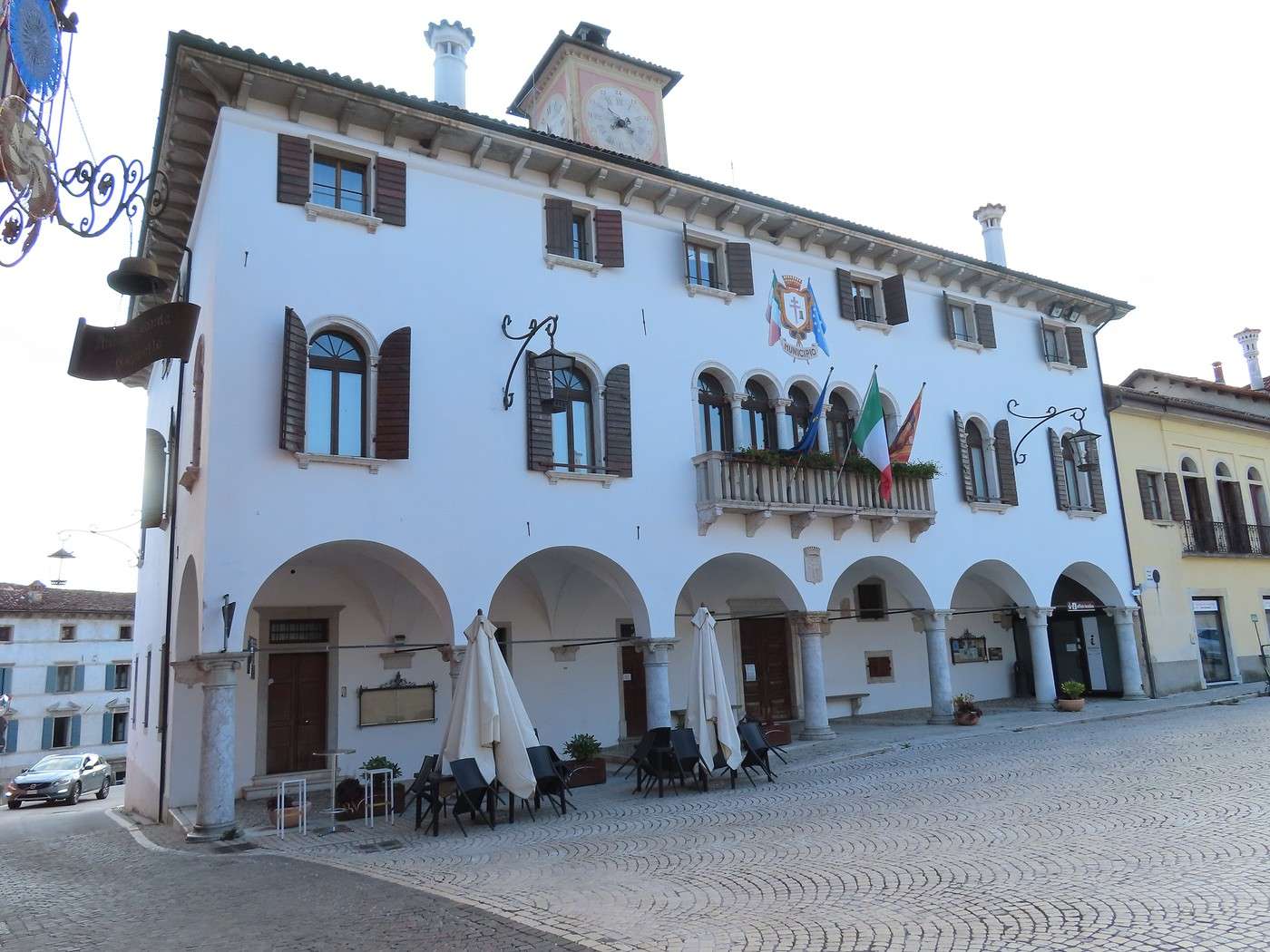
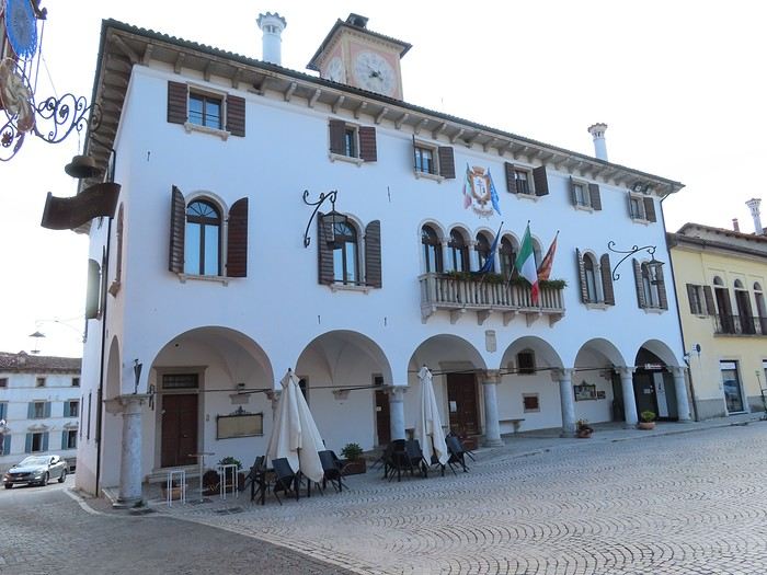
The palazzo at the far right in the photo above has real grandeur—it’s the former Zorzi Counts’ palace (from the 16th century), now the "Palazzo della Magnifica Comunità di Mel," or in modern terms, the town hall (I couldn’t visit; it was closed when I passed by).


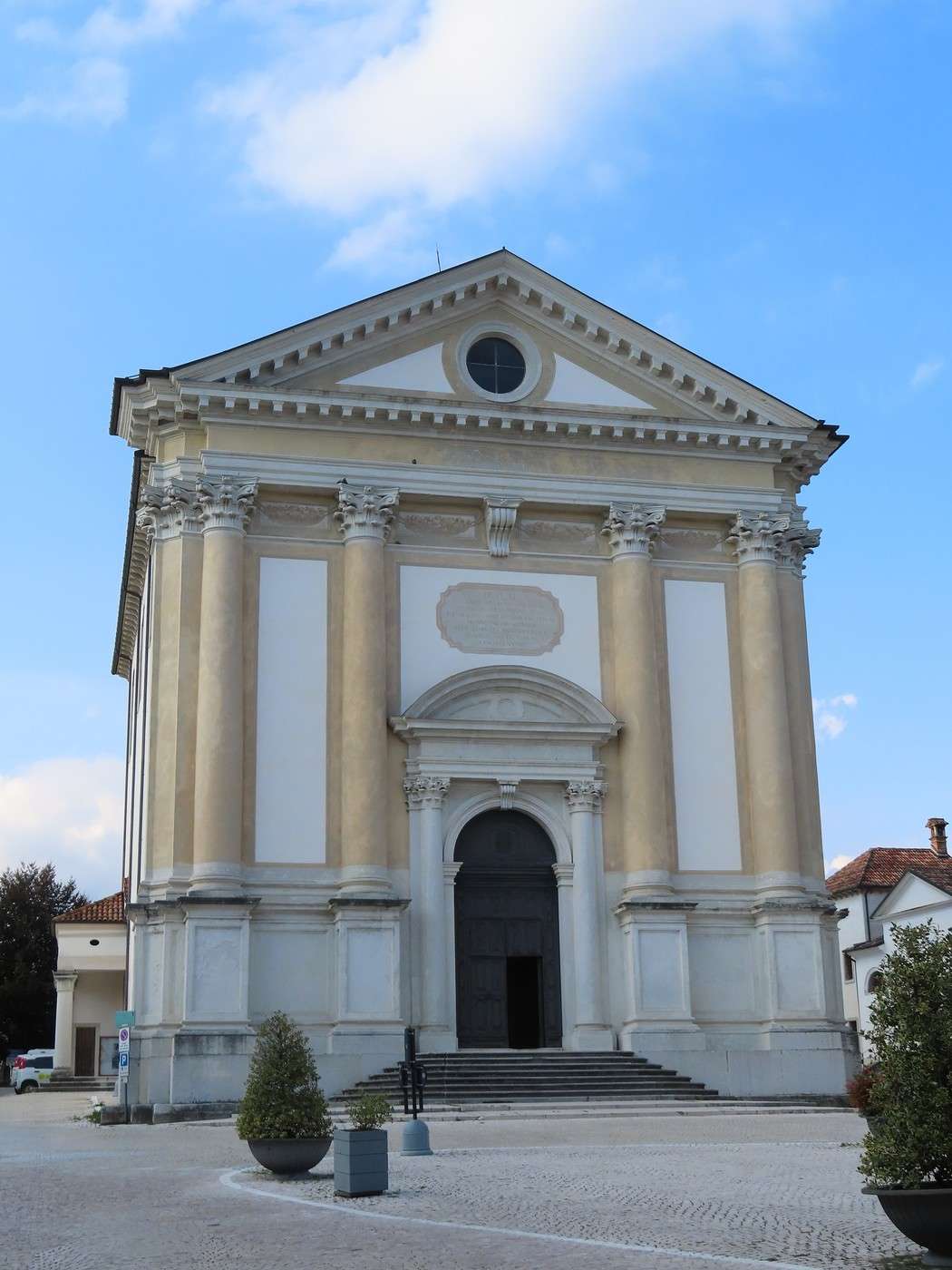
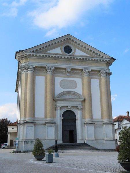
The wide shot of the square is taken from the church parvis, which sits at the highest point of the square. This church is neoclassical in style, built in the mid-18th century, and imposing without being bulky.


Back at the Nevegal campsite; the weather, still hot, clouds over by late afternoon with a stormy feel, hinting at a change ahead. This journal entry wraps up my route through the Dolomites.

The other part of the trip (not yet published) covers:

- First, the strip of hills between the plain (to the south) and the Prealps (to the north), with forays into both. I traveled from Vittorio Veneto (east) to Marostica (west); I couldn’t find a precise name for this region, which spans multiple administrative provinces. A music festival held there billed itself as the "pedemontana" festival—I’ll use that term, translating it as "foothills," and I’d call this little area the Venetian foothills.

- Then, the city of Vicenza and its immediate surroundings.

The focus of this part of the trip is cultural, in contrast to the "hiking" focus of the Dolomites section.

I’ll add a post with some maps to help readers unfamiliar with the Venetian Dolomites get their bearings.

Veneto: Dolomites and Opera

Valmichel86 · 2026-03-08 · Message 36 of 36

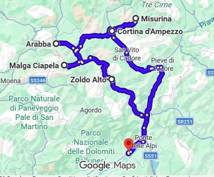
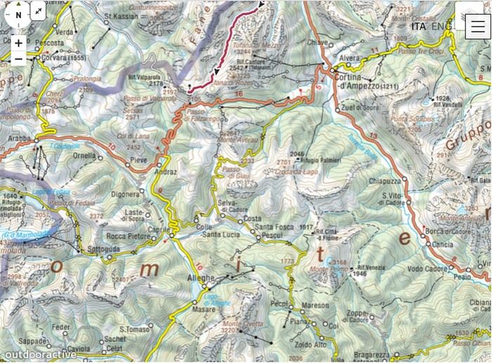
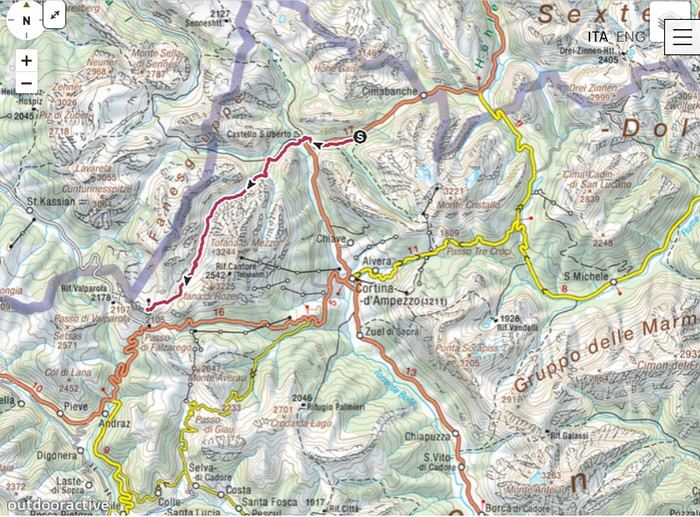
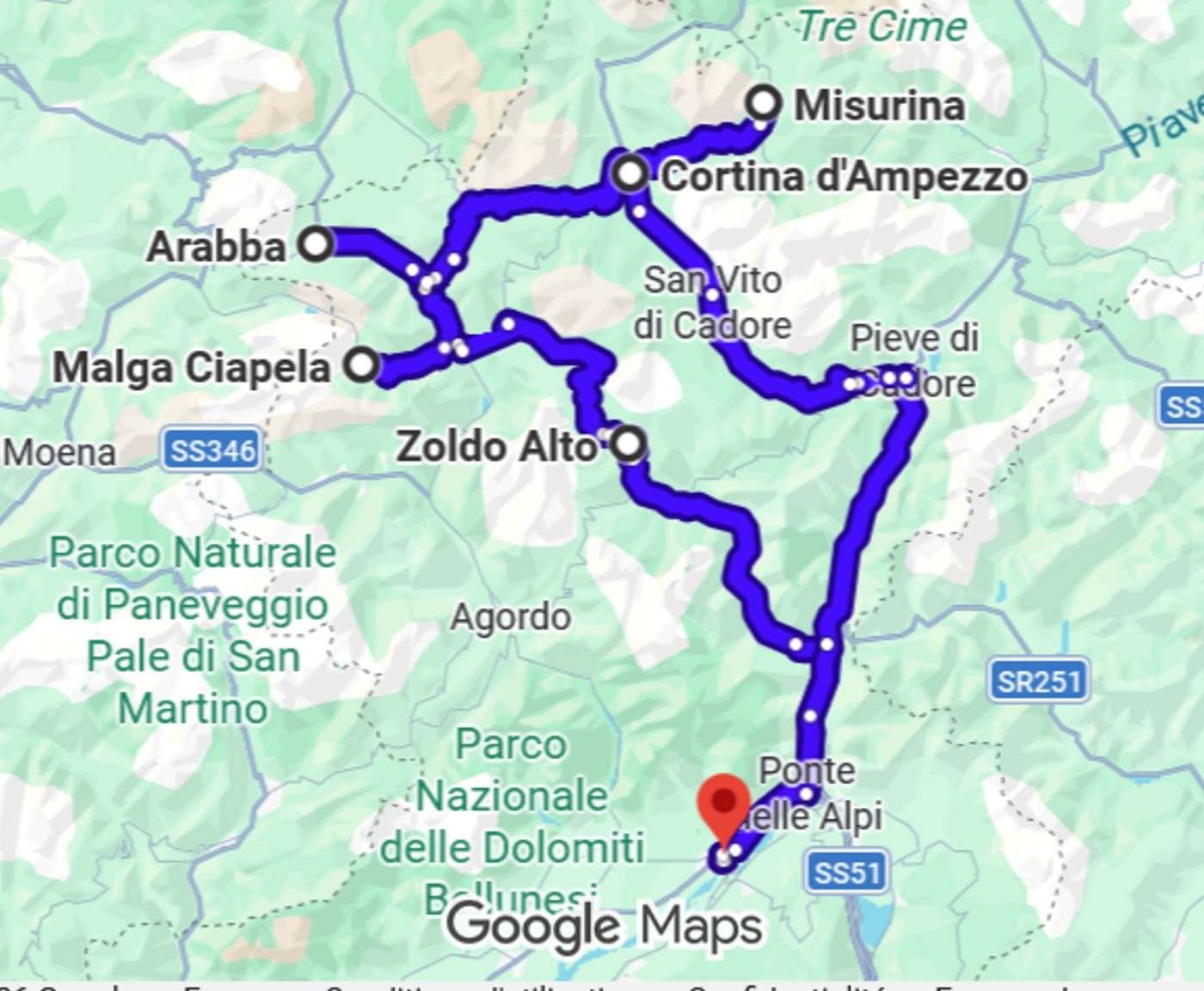
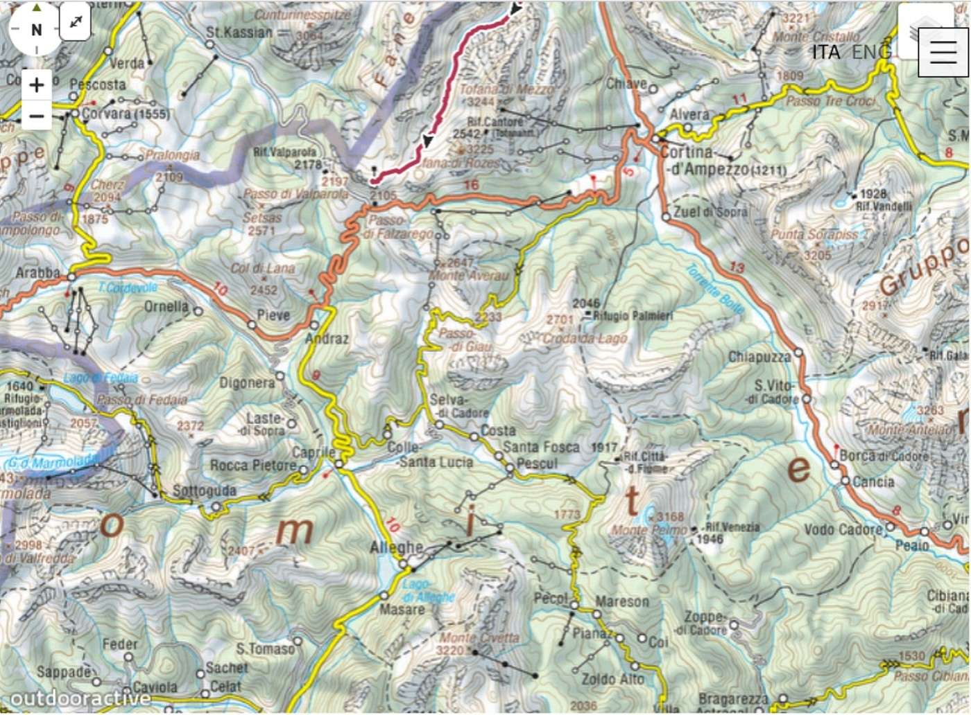
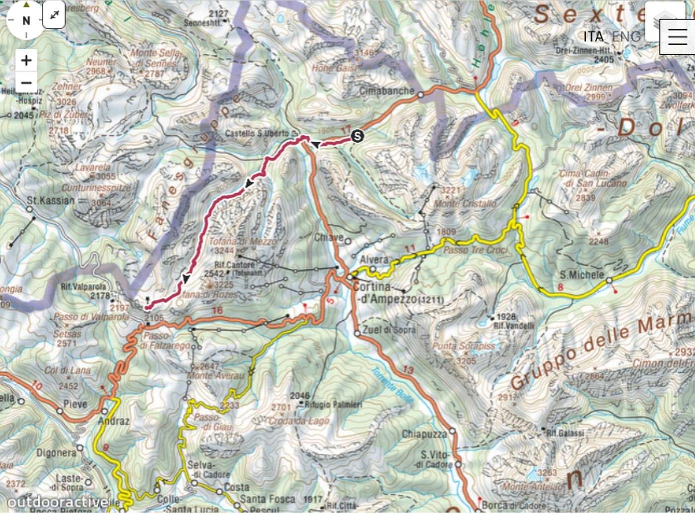
A promise made is a promise kept: here are the maps.


Location of Cortina d'Ampezzo in relation to Belluno (the red dot, provincial capital). It's 68 kilometers from Belluno to Cortina d'Ampezzo.

I'm adding two more detailed maps of the area around Cortina.


These two rectangular snapshots are pretty good (though far from perfect) for getting your bearings around Cortina.

VoyageForum — the largest community of French-speaking travellers.