★ 3 · last edited Dec 11, 2019
Jebel Saghro
Location verified location
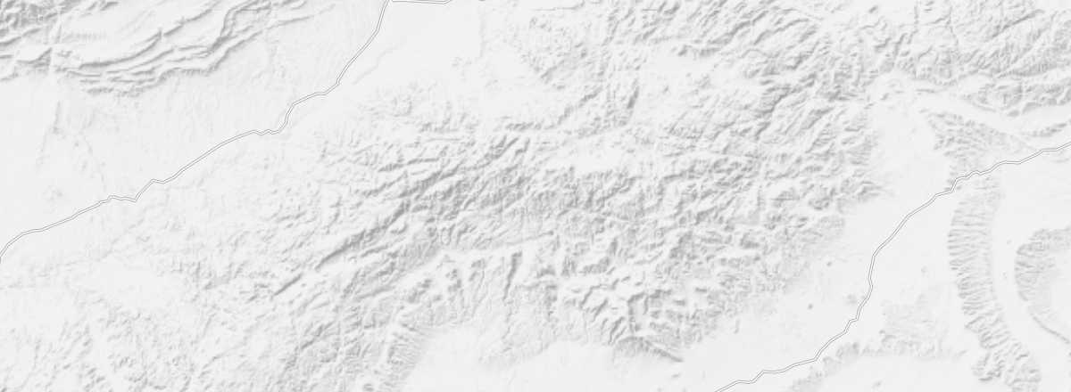 Jebel Saghro
Open the interactive map
Jebel Saghro
Open the interactive map
This remote region east of Ouarzazate, extremely desolate and sparsely populated, offers stunning lunar landscapes and numerous opportunities for hiking or 4x4 excursions via rough tracks and spectacular passes at over 2,000 m.
Overview of Jebel Saghro
Jebel Saghro is a mountainous and arid region east of Ouarzazate, situated between the Ouarzazate-Errachidia road to the north (N 10) and the Agdz-Errachidia road to the south (N 12). Extremely remote and sparsely populated, it offers stunning lunar landscapes and numerous opportunities for hiking or 4x4 excursions. Crossings of the jebel follow a north-south axis (or vice versa), covering around sixty kilometers via rough tracks and passes through spectacular cols at over 2,000 m.
Key Details
- Type of place: massif.
- Tourist interest: (recommended).
- Characteristics: arid mountainous zone.
- Location: east of Ouarzazate in the eastern part of the Anti-Atlas.
- Distances: Boumalne-Dadès (approx. 20 km to the north), Ouarzazate (approx. 120 km to the west).
- Area:
- Altitude: up to 2,712 m.
- Website:
Environment
Wildlife and Flora
Population and Economic Activity
Precautions
Climate and Weather
Saghro is the most arid zone in the Anti-Atlas range, with low rainfall, particularly in its southern part.
What to See and Do
Beyond admiring the stunning arid landscapes, hiking—whether on foot or by 4x4—is the main activity in Jebel Saghro. There are several categories of treks, varying in difficulty and length, allowing everyone, regardless of their level, to enjoy beautiful walks.