last edited Dec 11, 2019
Introduction to Marrakech
Location Map of Marrakech
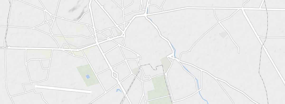 Marrakech
Open the interactive map
Marrakech
Open the interactive map
Overview of the City
Marrakech is the fourth-largest city in Morocco. It has served as the country’s capital multiple times and is divided into two parts: the Medina (or historic city) and the new town, which emerged during the French protectorate. It retains a unique splendor and elegance from these bygone eras. The walls of the Medina, built as early as the 12th century, earned it the nickname "red city." These walls stretch for 19 kilometers, feature 200 towers, and are pierced by around fifteen gates providing access to the Medina.
Key Facts
- Type of place: main city.
- Location: in the center of the country, about 200 km from the Atlantic.
- Latitude/longitude: 31.37' N and 8.00' W.
- Distances: Agadir (275 km southwest), Casablanca (240 km north), Essaouira (180 km west), Meknes (480 km northeast), Ouarzazate (205 km southeast).
- Local time: .
- Population: 928,850 inhabitants (2014).
- Area: 230 km²
- Altitude: 450 m.
Tourism
Travel Essentials
- Tourist interest: (must-see or highly recommended).
- By air: France-Marrakech for 150/400 €.
- Backpacker daily budget:
- Best for accommodation:
- Best for getting around: on foot, with occasional taxis.
- Best time for climate/crowds/prices: spring and autumn, while avoiding school holidays and long weekends, which see higher visitor numbers.
- Website: https://visitmarrakech.ma/