last edited Dec 11, 2019
Overview of the Channel Islands
Location Map of Channel Islands
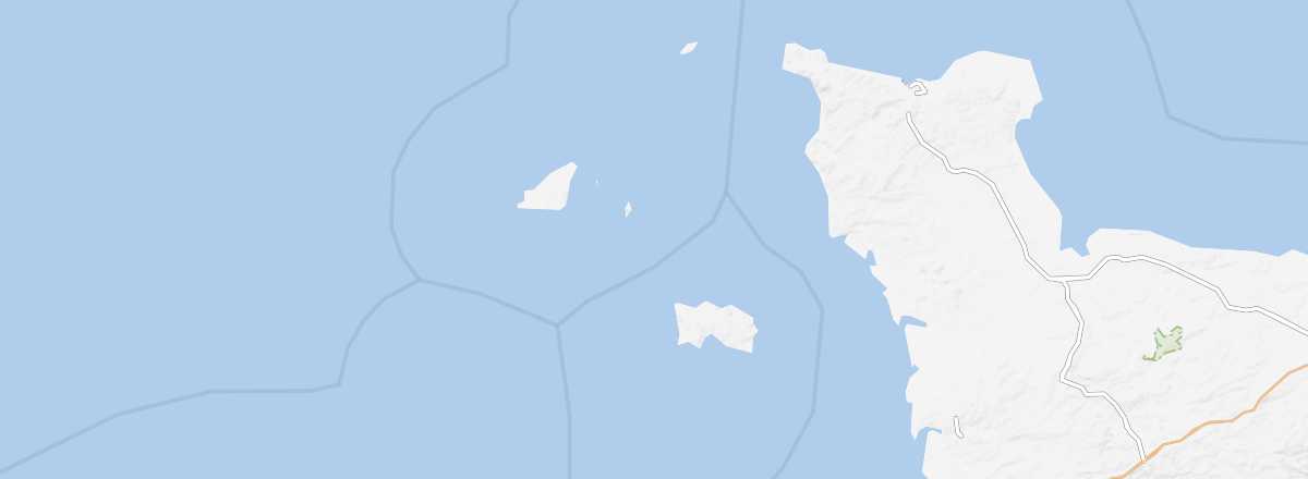 Channel Islands
Open the interactive map
Channel Islands
Open the interactive map
Overview
The Channel Islands are a group of islands located in the English Channel, around thirty kilometres west of the Cotentin Peninsula. They are direct dependencies of the British Crown but are not part of the United Kingdom. Similarly, their special status means they are not members of the European Union.
Key facts
- Type of place: tourist region.
- Location: four main islands (Alderney, Jersey, Guernsey, Sark) west of the Cotentin.
- Local time:
- Main town: Saint Helier on Jersey.
- Political status: British Crown Dependencies.
- Official language: English.
- Population: 164,600 inhabitants (2016).
- Area: 198 km²
- Density: 831 inhabitants/km²
- Highest point: Les Platons (136 m) on Jersey.
- Lowest point: sea level.
- Coastline:
Tourism
These small islands, closer to France than to England, can be explored in a few days, preferably in the off-season to avoid crowds. They will appeal first and foremost to lovers of coastal landscapes and short seaside walks.
Travel essentials
- By air: France-Jersey.
- Backpacker daily budget:
- Best for accommodation:
- Best for getting around:
- Best time for climate/crowds/price:
- Interests (out of ): Nature ; Adventure ; Culture ; Relaxation/holidays
- Website: