★ 3 · last edited Dec 11, 2019
Douro
Contributionsversion #1created Dec 11, 2019Report this pageLatest contributions in this guideContributors to this guide
Location verified location
 Douro
Open the interactive map
Douro
Open the interactive map
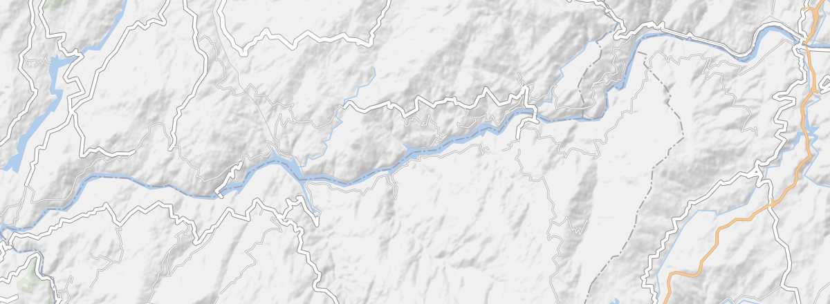
This river flowing through northern Portugal empties into the sea at Porto. In recent years, boat excursions from the city have become a tourist "classic", as have its valley and park with their landscapes, castles, churches, and the wine-producing region (a UNESCO World Heritage site) of the Upper Douro.
Overview of the river
This river flowing through northern Portugal empties into the sea at Porto. In recent years, boat excursions from the city have become a tourist "classic", as have its valley and park with their landscapes, castles, churches, and the wine-producing region (a UNESCO World Heritage site) of the Upper Douro.
- Tourist interest: (recommended).
- Features:
- Length: 897 km.
- Altitude: from 2,160 m to sea level.
Environment
What to see
Upper Douro Wine Region
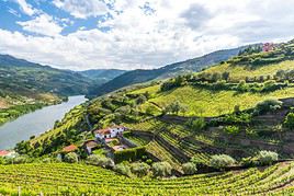
This is the part of the Douro Valley listed by UNESCO where Portuguese wines are produced. As is often the case, wine tourism has developed here, and it is possible to visit vineyards.
This is the part of the Douro Valley listed by UNESCO where Portuguese wines are produced. As is often the case, wine tourism has developed here, and it is possible to visit vineyards.
What to do
Practical information
- Location:
- Website:
- How to get there:
Sleep and eat
What to see nearby
Further information
Worth a look / Other
Upper Douro Wine Region
★ This is the part of the Douro Valley listed by UNESCO where Portuguese wines are produced. As is often the case, wine tourism has developed…