last edited Dec 11, 2019
Getting Around Aruba
Location Map of Aruba
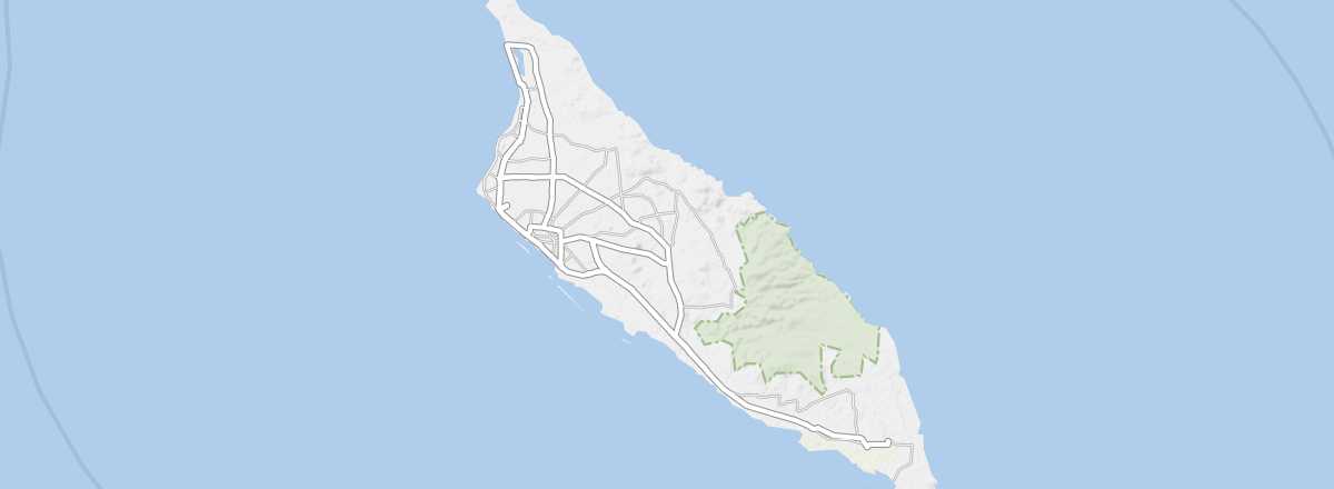 Aruba
Open the interactive map
Aruba
Open the interactive map
Road Network, Traffic
Car Rental
Taxis
Taxis are fairly common in the capital, near hotels, and at docks when cruise ships arrive. They aren’t necessarily budget-friendly, even though some can carry up to five people. You can pay in US dollars. Fares are based on distance (with a minimum of $6) or by the hour at $45. At night, on Sundays, and on public holidays, a $3 surcharge applies. For a "normal" trip from the airport or dock to the center of Oranjestad, expect to pay around $20.
Buses
The company Arubus operates the island’s bus network. It’s practical and affordable ($2.30 one-way or $4 for a round trip), but limited to the west coast, where the main road serves the capital, major towns, and large hotels.
Two Wheels
On Foot and Hitchhiking
Missing Transport Options
The island isn’t very large, and several transport options are absent. There are no trains, no domestic flights, and no regular ferry services.
Choosing Your Transport
Distances Between Towns
Distances (km) between the main towns and tourist spots on the island:
| Oranjestad | Noord | Palm Beach | Paradera | Santa Cruz | Savaneta | Sint Nicolaas | |
|---|---|---|---|---|---|---|---|
| Oranjestad | 10 | 10 | 4 | 10 | 10 | 20 | |
| Noord | 10 | 2 | 7 | 16 | 20 | 30 | |
| Palm Beach | 10 | 2 | 7 | 16 | 19 | 29 | |
| Paradera | 4 | 7 | 7 | 10 | 13 | 22 | |
| Santa Cruz | 10 | 16 | 16 | 10 | 11 | 17 | |
| Savaneta | 10 | 20 | 19 | 13 | 11 | 12 | |
| Sint Nicolaas | 20 | 30 | 29 | 22 | 17 | 12 |