last edited Aug 17, 2020
Geography and Environment of California
Location Map of California
 California
Open the interactive map
California
Open the interactive map
State Landscape
Natural Areas
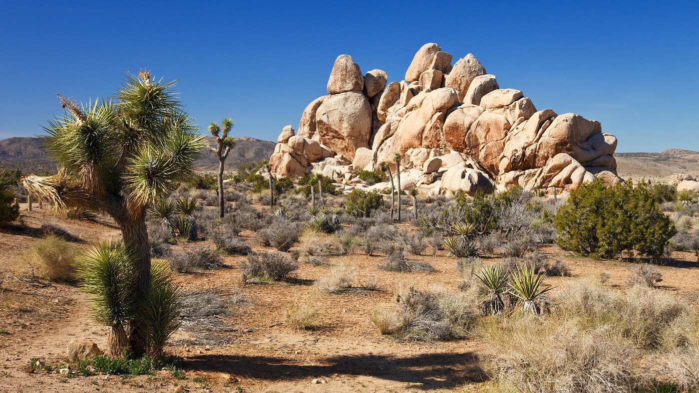
California is one of the most ecologically rich and diverse regions in the country, even if water shortages and droughts in recent years are gradually changing the situation. While desert areas are found in the south/southeast of the state, it remains nearly 40% forested, particularly as you head north. It’s also where many of the state’s major natural sites are located, starting with the famous Yosemite National Park. In total, there are around ten national parks in California, along with numerous other natural sites worth exploring. Some of the most popular spots for visitors include:
- Anza-Borrego Desert State Park: A desert region in southern California, between L.A. and Mexico, with nearly 200 km of marked hiking trails.
- Big Sur: 140 km of coastline between Carmel and San Simeon, featuring striking cliffs plunging into the ocean. You’ll find beautiful small beaches and great hiking spots.
- Channel Islands National Park: Five of eight islands off Santa Barbara, designated a national park for their wildlife, flora, and environment. Visitors come for the landscapes, kayaking, or diving.
- Death Valley National Park: With its unique desert landscapes and intense heat, Death Valley remains a must-see on any trip to the West. It’s also the lowest point on the North American continent.
- Devils Postpile National Monument: In eastern California, within the Sierra Nevada, a dark cliff made of basalt columns.
- Joshua Tree National Park: This large desert park is popular for its landscapes, as well as trekking, climbing, and birdwatching.
- Lake Tahoe: A large mountain lake known for its scenery, as well as hiking, skiing, or water sports depending on the season.
- Lassen Volcanic National Park: Hiking, climbing, and fishing in the stunning volcanic landscapes of northeastern California.
- Lava Beds National Monument: A volcanic landscape with numerous caves and hiking opportunities.
- Mojave Desert: Arid and mountainous terrain, caves, and dunes (the Kelso Dunes) to explore in the southeast of the state.
- Mono Lake: This high-altitude salt lake is famous for its volcanic formations. You can explore it by canoe or kayak.
- Mount Whitney: One of the tallest peaks in the U.S. (4,421 m) and the highest in California. It can be climbed.
- Pinnacles National Park: A small, lesser-visited site near the coast and San Francisco, offering striking volcanic rock formations and caves. Great for hiking.
- Point Reyes National Seashore: North of San Francisco, this vast peninsula faces the ocean with its hills and wild coastline. Visitors come for the scenery, hiking, kayaking, and whale watching between January and May.
- Redwood National Park: Sequoias, bears, beavers, birds, and opportunities for hiking or kayaking. All located north of San Francisco, away from major tourist routes, though the site is a UNESCO World Heritage Site.
- Sequoia and Kings Canyon National Parks: Towering sequoias, some dozens of meters tall, in a mountainous environment across these two "associated" parks.
- Shasta-Trinity National Forest: Just before Oregon, this vast mountainous and forested region, with its lakes and rivers, offers countless outdoor activities.
- White Mountains: A favorite area for hikers and outdoor enthusiasts.
- Yosemite National Park: Stunning landscapes, including magnificent granite cliffs, along with hiking and a variety of other outdoor activities in one of the country’s most visited parks.