last edited Dec 11, 2019
Getting to California by Land or Sea
Location Map of California
 California
Open the interactive map
California
Open the interactive map
By Land
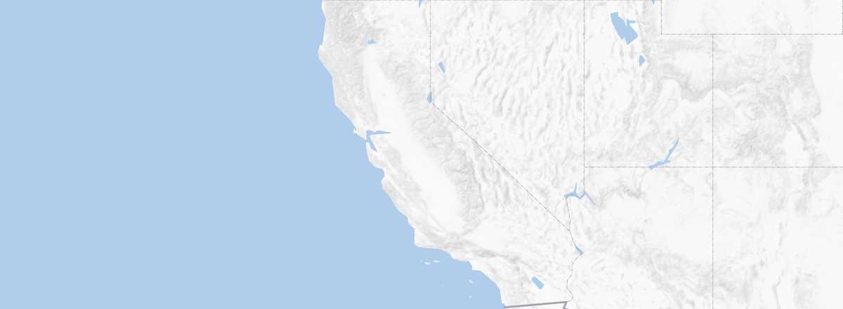
California borders three US states (Oregon to the north and Nevada and Arizona to the east) as well as Mexico to the south. It is logically well served by roads, with Interstate 5 and the famous Highway 1 running north-south, plus several east-west highways leading to San Francisco or Los Angeles (more options).
Public Transport
Greyhound and Megabus are the two major bus companies operating in and serving California from neighboring states. For rail travel, Amtrak trains also offer several routes to the West Coast from various points across the country.
By Sea
Cruises
Ferries
While there are a few ferry routes in San Francisco Bay or the Channel Islands, there are no international connections to Mexico or routes heading north to Canada.
Cargo
With the port of Los Angeles-Long Beach, California has one of the country’s main maritime gateways, particularly for trade to and from the rest of the Pacific region.