★ 3 · last edited Dec 11, 2019
Wallonia
Contributionsversion #1created Dec 11, 2019Report this pageLatest contributions in this guideContributors to this guide
Location verified location
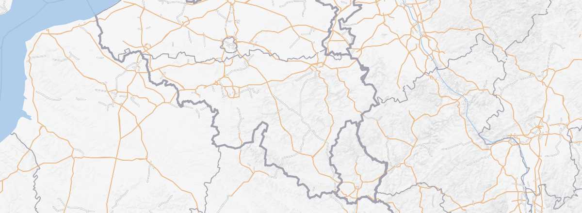 Wallonia
Open the interactive map
Wallonia
Open the interactive map
The largest region of Belgium, covering 60% of the territory. Predominantly French-speaking, it is also home to a small German-speaking minority near the German border. For tourists, Wallonia offers abbeys (Orval, Villers-la-Ville...), castles (Bouillon, Corroy...), and charming towns worth a detour (Mons, Tournai...). It’s also Belgium’s "nature side," with the Ardennes ideal for all kinds of hikes, caves to explore (Han-sur-Lesse), and above all the Meuse Valley, a major tourist destination with beautiful landscapes best discovered on river cruises.
Overview
The largest region of Belgium, covering 60% of the territory. Predominantly French-speaking, it is also home to a small German-speaking minority near the German border. For tourists, Wallonia offers abbeys (Orval, Villers-la-Ville...), castles (Bouillon, Corroy...), and charming towns worth a detour (Mons, Tournai...). It’s also Belgium’s "nature side," with the Ardennes perfect for all kinds of hikes, caves to explore (Han-sur-Lesse), and above all the Meuse Valley, a major tourist destination with beautiful landscapes best discovered on river cruises.
Key facts
- Type of place: tourist region.
- Location:
- Local time:
- Main city:
- Population:
- Area:
- Highest point: Signal de Botrange (694 m).
- Lowest point:
- Coastline: 0 km; no maritime access.
- Highlights (out of ): Nature ; Adventure ; Culture ; Relaxation/holidays .
- Website: http://www.belgique-tourisme.fr
Main cities
Tourist attractions
Towns and heritage
Nature and activities
Climate and weather in Wallonia
- Waterloo
- Bastogne
- Binche
- Charleroi
- Dinant
- Durbuy
- La Louvière
- Liège
- Louvain-la-Neuve
- Mons
- Namur
- Spa
- Torgny
- Tournai
- Neolithic Flint Mines of Spiennes
- Orval Abbey
- Villers Abbey
- Bouillon Castle
- Corroy Castle
- Lavaux Castle - Sainte Anne
- Vêves Castle
- Belgian Ardennes
- Han-sur-Lesse Caves
- Hautes Fagnes Nature Reserve
- Meuse Valley
- Mining Sites of Wallonia