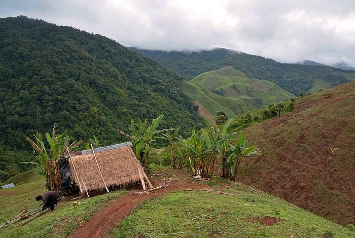
Bonjour la communauté. Nous partons au Laos cet été , nous avons reservé à Luang Prabang puis avons entrepris de rejoindre Vientiane par la route 13 en faisant escale à Van Vieng. Mais je viens de me rendre compte en consultant le site du ministère des affaires étrangères qu'il était fortement déconseillé de prendre cette route
Que faire? Abandonner cette idée? La menace est réelle? Prendre l'avion? Bref tous vos commentaires et vos expériences nous seraient utiles pour trancher sur ce choix. Merci beaucoup
Le site du Ministère des Aff Étrangères ( français, je suppose ) est toujours un peu, comment dire..alarmiste .
Il est vrai que deux autocars de touristes chinois ont été dernièrement attaqués sur la nouvelle route Kasi à Luang Prabang ; il est aussi fort possible que ces autocars étaient immatriculés en Chine;
or les chinois s'ils sont accueillis favorablement par les autorités locales ne le sont pas vraiment par la population .
Pour revenir à vos moutons, route sur laquelle j'ai roulé dernièrement avec mon VTT; c’était en novembre 2015 ;
pas en très bon état, parfois pas du tout, très poussiéreuse ..
Par contre les automobilistes et conducteurs de véhicules lourds sont relativement prudents, roulent tranquillos; rien à voir avec les kamikaze thaïlandais .😠 ;
Quant à la nouvelle route entre Kasi et la route n*4 ( Sayaburi - Luang Prabang ) elle était déjà à moitié effondrée dans le ravin en novembre;
elle traverse la montagne et permet d’éviter la très sinueuse route 13N de Phou Koun à Xiang Ngeun
Si vous désirez voyager de nuit, privilégiez un autocar avec sièges inclinables plutôt que les autocars couchettes locaux; pour pouvoir dormir il vaut mieux mesurer moins de 1,60 m, taille moyenne des laotiens et laotiennes .
Photo, la route 13N environ 20 km avant Kasi
Le socialisme ne peut fonctionner qu’au paradis où il n’est pas utile, et en enfer où ils l’ont déjà
Le site du Ministère des Aff Étrangères (français, je suppose) est toujours un peu, comment dire..alarmiste.
Il est vrai que deux autocars de touristes chinois ont été dernièrement attaqués sur la nouvelle route Kasi à Luang Prabang ; il est aussi fort possible que ces autocars étaient immatriculés en Chine;
or les chinois s'ils sont accueillis favorablement par les autorités locales ne le sont pas vraiment par la population.
Entièrement d'accord.
Et faire une mise à jour car pratiqué en moto dernièrement (avril/ mai 2016) aucun souci particulier sur la N13. C'est sur VF que j'ai appris que le Ministère des Affaires etrangères avait mis émis une alerte, à mon grand étonnement.
Quant à la nouvelle route entre Kasi et la route n*4 (Sayaburi - Luang Prabang) elle était déjà à moitié effondrée dans le ravin en novembre;
Il n'y a qu'une partie de la route, aux abords de Muang Nan, qui est encore en travaux et cette route là (Kasi - Xayaburi), franchement, c'est un régal à faire en bécane !
Merci pour vos réponses. Ce n'est pas tant l'état de la route qui nous inquiète, c'est surtout le risque d'embuscade qui est vraiment flippant. Nous hésitons vraiment...
J'allais justement poster un message sur le même sujet... Etrange de voir la route Vang Vieng / Luang Prabang en niveau de vigilance Orange (ce qui usuellement est réservé à des pays qui me semblent plus compliqués en terme de sécurité...).
Qu'avez vous finalement fait ? Est-ce que la route est OK ? Le bus est tout de même bien moins cher que l'avion d'où mon interrogation....
La route n13 entre Vang Vieng et Louang Prabang a toujours été considérée a risque. Cela ne date pas de cette année. Le site du Ministere des Affaires Etrangeres fait son boulot en déconseillant une nouvelle fois cette route, tout comme son équivalent américain qui donne plus de détails. Site que vous devriez consulter. En voici le lien, ainsi que le lien français.
www.diplomatie.gouv.fr/...seils-par-pays/laos/
Une fois sur le site cliquez sur sécurité.
laos.usembassy.gov/travalert.html
J'ai fait cette piste, qui était alors en travaux pour devenir une route, a VTT en 1993. Je l'ai refaite ensuite en camion-bus, a 2 reprises en 1997 (la route fut achevée en mai 1996), puis a nouveau en VTT en 1999 ainsi qu'en 2003. Tout s'est a chaque fois bien passé. Et pourtant pendant ces 10 années, des attaques se sont produites et elles ont fait de nombreux morts et blessés. Mais si l'on veut rester optimiste on dira que dans le meme temps, des milliers de personnes ont emprunté cette route. En terme de probabilité le risque est donc tres faible.....mais il existe bien. A chacun de prendre ses responsabilités.
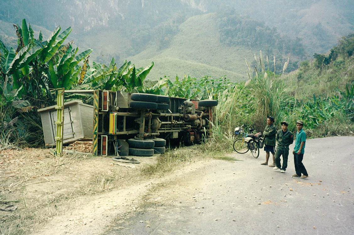
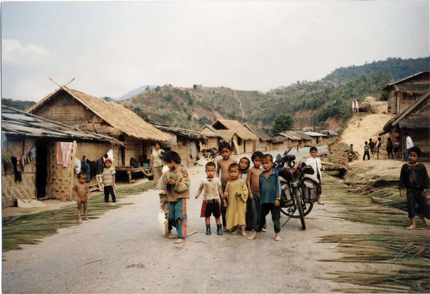
En photo, rien a voir avec une attaque.....il s'agit simplement d'une insécurité supplémentaire sur cette route 13 nord. C'était en 1999.
J'ai fait ce trajet en 2103 mais dans le sens inverse et tout s'est très bien passé. On s'est arrêté 3 jours à Vang Vieng avant de repartir pour Luang Prabang puis le nord est du pays. Je ne savais même pas qu'il y avait des risques ...
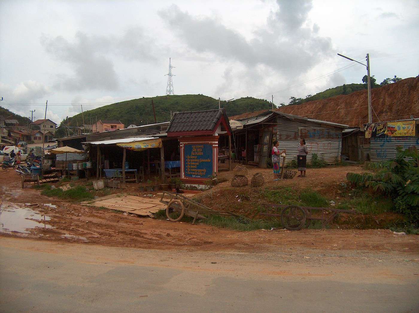
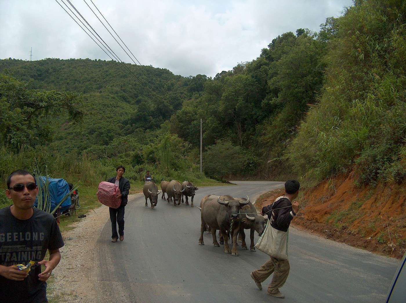
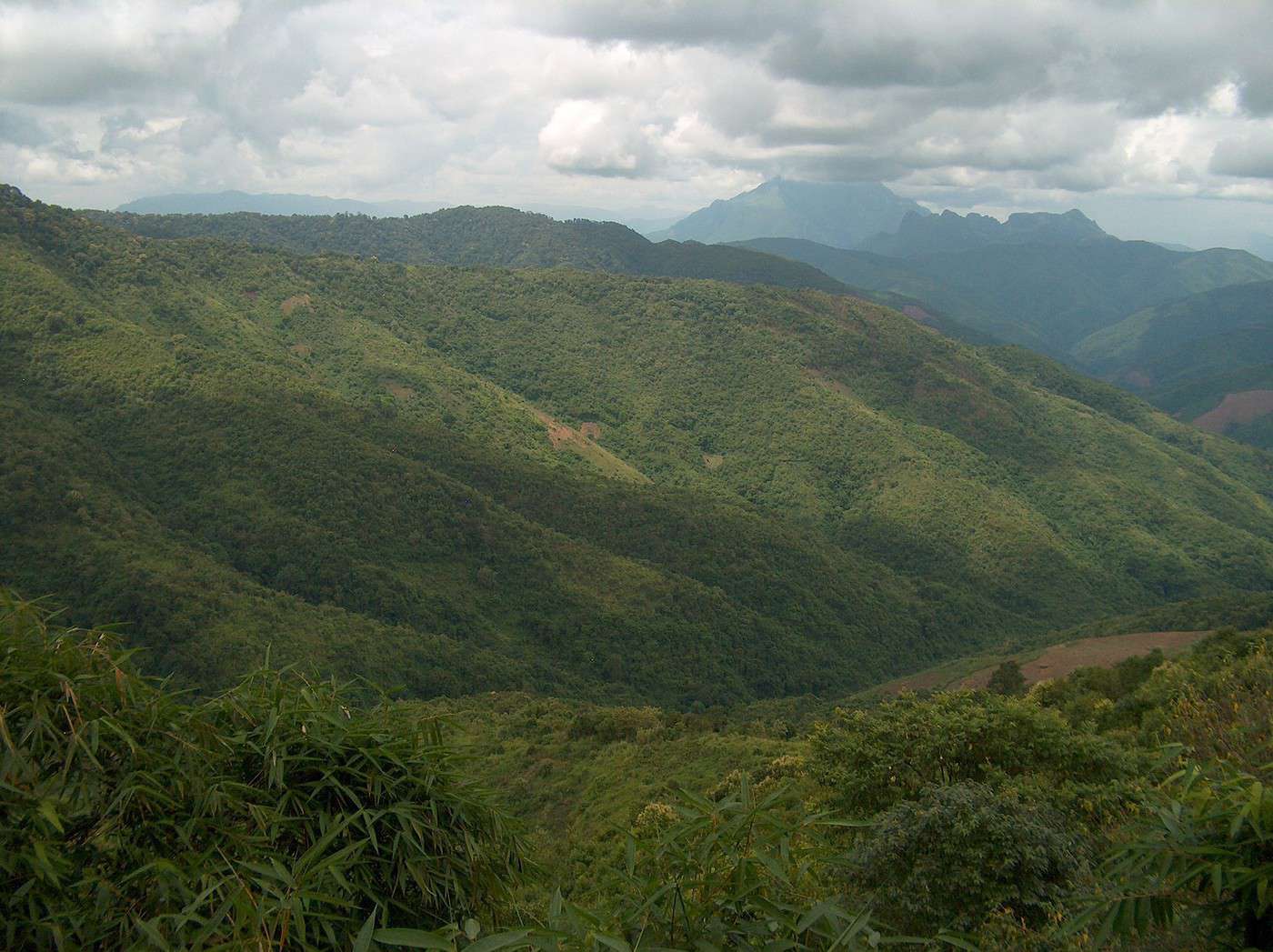
Des photos de cette route :
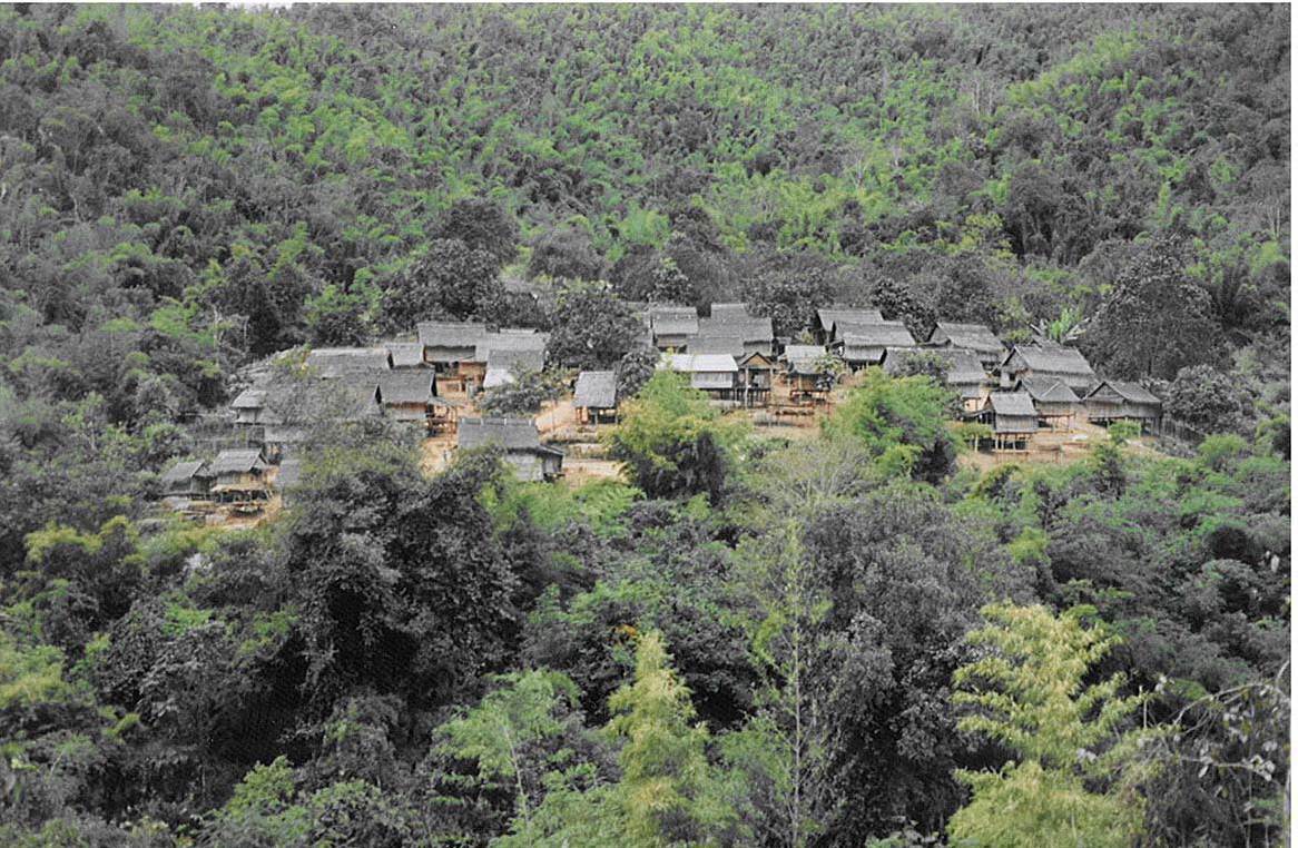
Merci Mamas pour ces photos. La troisieme illustre parfaitement le probleme posé par la culture sur brulis, pratiquée par les Hmongs dans le nord du Laos. De vastes parcelles déforestées, comme celles présentes sur cette photo, alternent avec des surfaces ou la foret tropicale est encore presque intacte. Apres quelques années de cultures sur brulis, les sols deviennent quasiment stériles. Les Hmongs démontent alors leur village maison par maison, et se déplacent de quelques km, la ou la foret est encore présente. Ils remontent alors leurs maisons et reprennent le meme scénario dévastateur.
Dans les années 1990, les attaques sur cette route 13, restaient souvent ignorées du grand public, a l'exception des familles des victimes. L'une d'entre elles s'est produite il y a bientot 20 ans, le 11 septembre 1996, et l'une des victimes fut un Français. Il s'agit de Claude Vincent figure emblématique au Laos a cette époque.Sur ce coup la, impossible pour les autorités de cacher la réalité de l'insécurité chronique de cette route, et l'affaire fut tres médiatisée. J'ajoute un lien qui relate ces événements.
Il y a beaucoup a dire sur ce ''tronçon de la mort'' que constituent les 44 km qui séparent les petites bourgades de Kasi et Phoukoun. J'y reviendrai prochainement.
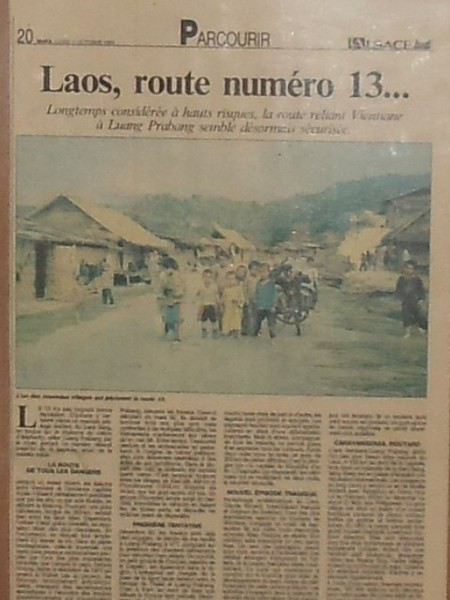
Apres avoir parcouru a VTT cette route ou plutot piste en décembre 1993, je l'ai refaite, toujours a VTT en janvier 1999, cette fois sur l'asphalte.Cela m'a permis d'établir un certain nombre de comparaisons entre ces deux époques.Je les ai condensées dans un article que j'ai rédigé pour le quotidien régional L'ALSACE, et qui est paru le 11 octobre 1999.
Il faut d'abord savoir que cette route a été construite par les vietnamiens. En l'occurence, la Civil Engineerig Incorporation de Hanoi. La societé suédoise Sweco fit office de consultant, et c'est la Banque Asiatique pour le Développement (Manille) qui en assura le financement. Officiellement, les travaux étaient prévus pour commencer en mars 1992.Ils devaient s'achever 3 ans plus tard. Mais confrontés a de nombreuses difficultés, les vietnamiens ne la finiront qu'en mai 1996. Parmi ces difficultés, il y eu l'effondrement du pont au dessus de la Nam Song a Ban Pathang, village situé a 18km au nord de Vang Vieng, lors d'une crue exceptionnelle de cette petite riviere.Et cela avant meme l'achevement des travaux du pont, ce qui obligea les vietnamiens a quasiment tout recommencer.Cela pris au total plus de deux ans.
L'immense majorité des attaques se sont produites entre Kasi (alt. 408m) bourgade située a 57.5km au nord de Vang Vieng, et Poukhoun, petit village carrefour situé a 43.8km au nord de Kasi et a une altitude de 1348m.En fait, la partie vraiment montagneuse ne commence qu'a 9 km au nord de Kasi.A partir de ce point la, en 1993, plus aucun village jusqu'a Phoukhoun.Les premieres habitations hmongs si situaient alors a environ 2km avant l'arrivée au carrefour de Phoukhoun, soit environ 33km sans la moindre présence humaine.A l'exception toutefois d'un petit chantier vietnamien situé alors a 12 km au nord de Kasi.
A suivre.
Je précise que les altitudes que je mentionne sont celles figurant sur les excellentes cartes en couleur que l'on pouvait alors se procurer au Service Géographique National de Vientiane.
Si l'on consulte les différents sites internet consacrés a cette région, les altitudes données pour Kasi comme pour Poukhoun, sont aussi variées que fantaisistes....
En photo, l'article paru le 11 octobre 1999.
Début 1999, je refais a VTT cet itinéraire (Vientiane - Luang Prabang) avec pour but de noter les différences visibles par rapport a ce que j'avais constaté en décembre 1993, et d'en faire le compte rendu pour le quotidien régional ''L'Alsace''. Voici ce que j'écrivais concernant les 44km qui séparent Kasi et Phoukoun.
''..... en ce début 1999, je refais le meme parcours afin de mesurer ce qui a changé. Dans la partie critique et autrefois désertique, le gouvernement a installé cinq camps militaires, dont trois en l'espace de quatre kilometres. A cela s'ajoutent cinq villages récemment crées, ou vivent ces militaires et leurs familles. En outre, une Jeep semble patrouiller dans cette portion. Ces éléments nouveaux concourent indéniablement a sécuriser ce secteur. Aujourd'hui, une bonne trentaine de véhicules divers empruntent chaque jour cet itinéraire. Si un incident isolé peut encore se produire, un guet-apens en bande organisée ne parait plus possible.''
Et bien depuis cette date, il y eu plusieurs dizaines nouvelles victimes entre Kasi et Phoukoun.... Preuve que le dispositif mis en place par les autorités était loin d'etre suffisant.
En mars 2003, je fais cet itinéraire dans l'autre sens, c'est a dire Luang Prabang - Vientiane et toujours a VTT. Je ne remarque pas de différence notable par rapport a 1999. J'ignore alors qu'environ un mois plus tot, en février 2003, deux cyclistes suisses, ont été tués sur cet axe. Depuis mon départ de Luang Prabang, dans chaque étape, je croise plusieurs cyclistes, puisque la grande majorité d'entre eux effectuent cette liaison dans le sens Vientiane - Luang Prabang. Et dans les brefs échanges que nous avons, personne n'évoque ce tragique et récent évenement, qu'a priori personne ne parait connaitre.
Une petite question importante quand même... Je me rend au nord Laos en mars 2017 je dois faire la route Vientiane/Luang Prabang en bus avec un arrêt à Vang…
Je voudrais faire Luang Prabang Houayxai en mettant ma moto sur un bâteau jusqu'à Pakbeng et ensuite je voudrais continuer en moto, mais je ne trouve qu'une…
J aimerai savoir s il existe une route qui part de Siem Reap a la frontiere du Laos sans redescendre par Kratie. Sur la carte, je vois une route qui part de…
Nous allons au Laos pour la troisième fois en novembre 2015. Nous avons déjà fait 2 fois la route Luang-Prabang à Vang-Vieng en bus VIP (2010 et 2011). On nous…
J'ai besoin de conseils avisés sur ces 2 destinations, en 15 jours
Nous atterrissons à KL on pense y reste 2 jours puis partir sur Bornéo et terminer par une ile pour snorkeling.
Pour ceux qui ont déjà fait quels sont vos incontournables?
on se disait peut être de consacrer 3 jours les derniers aux iles Perenthian, a moins que vous ayez uen ile à me conseiller proche de Bornéo,
Merci pour vos conseils et votre aide
I’d love to get some feedback on our itinerary—it’s probably pretty basic! This is our second trip to Asia and our first to Indonesia. We have three kids aged 20, 18, and 12. We land in Jakarta at 4 PM, spend 3 nights/2 days there, then take the train to Yogyakarta for 3 nights/2 days, followed by the train to Surabaya for 2 nights/1 day, then the train to Bromo for 1 day/1 night, a private driver to Ijen for 2 nights/2 days, then on to Bali (Ubud) for 4 nights/3 days, followed by Gili Air for 3 nights/2 days, Senggigi (Lombok) for 2 nights, and finally 5 nights in Kuta. I’m considering cutting the 2 nights in Senggigi to just keep Kuta and extend it to 7 nights. In Lombok, I’m not sure how to get around since I’m not comfortable with scooters... Your thoughts on all of this, and any advice, are more than welcome—don’t hesitate!
For those wondering why cities like Jakarta and Surabaya: we don’t often get the chance to visit big Asian cities, so we wanted to include that discovery in our trip. The trains between Jakarta and Yogyakarta, Surabaya and Probolinggo are booked. The return flight from Lombok to Jakarta is also set. Accommodations are booked but flexible (same for the trains).
Bonjour à tous,
pouvez vous me donner vos avis sur mon itinéraire de 3 semaines.
nous sommes un petit groupe (famille + amis) 12 personnes, nous envisageons de partir vers le 21 Janvier 2027.
voici mon itinéraire:
3 nuits Bangkok
4 nuits Chang Mai
3 nuits Koh Samui
3 nuits Koh Phangan
4 nuis Krabi
4 nuits Phuket
Si suis également preneur de tout vos bon plan....
Merci à tous, Alain.
Bonjour je souhaite préparer un séjour de 15 jours en Malaisie, l'idée serait de visiter KL sur 2/3 jours puis Bornéo, le reste du temps, qu'en pensez vous? et terminer par les iles Perenthian...je veux bien vos avis vos conseils et je vous remercie
Hi everyone,
I’m looking for addresses for guesthouses or, even better, houseboats or rafting houses on the River Kwai, between Kanchanaburi and Sangkhlaburi, to spend a few weeks contemplating this beautiful river.
Thanks for your suggestions!
Premaria
Hi there,
we’re currently in Mai Chau and tomorrow we’re hitting the road back to Hanoi to head up toward Bac Ha and Sapa.
We haven’t really had a set plan since we arrived—we’ve already done the Halong Bay on land and by sea.
I’ve got 2 free days before heading to Bac Ha and Sapa.
Any tips?
Thanks, and looking forward to hearing from you.
Hi fellow travelers,
First trip to Vietnam.
We’ll be arriving in Ho Chi Minh City during Tet.
Is it complicated to find accommodation and get around during this period?
Any tips would be welcome.
Thanks for your replies.
Silly question—backpack or hard-shell suitcase for the Sepilok, Kinabatangan, Tioman, KL trip?
I’m struggling to fit all my son’s and my stuff into the 70L backpack... and I’m thinking a suitcase would be easier, but I’m not sure if it’ll work for getting around.
Hi there,
I didn’t plan to return to Thailand this year, but my health conditions mean it’ll be the best place for me to stay between two trips to India. The tourism setup there is so well-organized that it’s the most "comfortable" country for a short visit. Thailand feels too sanitized for my taste, and there’s too much religion, Buddha, and the King, but it’s still the best option given how my health has been evolving. I’d considered two weeks in ThaTon for hiking, but I got too sick from the burn-offs during my trips to the mountains around Chiang Rai. So I’m not sure where to go this year. Definitely not the sea, touristy spots, or the mountains with burn-offs...
Hello.
In 1996, we crossed Vietnam from Saigon to Hanoi by motorbike—Minsk bikes we bought in Saigon. I haven’t been back since, and it seems like a lot has changed.
- We’re heading to the south (well, the north and center) with the family in July-August (3 people).
- Is the road network more developed now? Back then, there was only National Route 1 from south to north. I’m thinking of renting a car this time (no motorbike with the family—though in ’96, they had a Jawa sidecar for sale, and we hesitated… maybe it’s for the best).
- Is Halong Bay really something to avoid because of overtourism? Even back then, it was pretty crowded. Is there a less touristy alternative?
- We’ll be traveling from Hanoi down to Danang (the only city we didn’t stop in back in ’96). Even though it’s a bit overhyped in a Chinese-tourist kind of way (from what I’ve read), we’re only going for the beach—pure relaxation for 7 days. The beaches are stunning, and I know the South China Sea is warm like coffee.
- Then, we’ll visit Hoi An, where I stopped in ’96. It was already popular with backpackers back then, but no glowing boats or all the touristy fuss!
- After that, Hue, where I have great memories—it’s a beautiful city.
- And also the nature around Ninh Binh, followed by 2-3 days in Hanoi.
That’s the plan. I’d love to hear any tips to avoid mass tourism, and if anyone’s done this before:
- Is it possible to rent a car in Danang and drop it off in Hanoi?
Hey everyone,
I’m over in East Borneo in mid-July.
I’m struggling to wrap up the end of my itinerary, even though it’s pretty straightforward (long but simple).
Last year, we did Malaysia (KL and the mainland + around Kuching).
Day 1 – Arrive in Kota Kinabalu early, stroll around town and hit the must-sees.
Day 2 – Excursion to Tunku Abdul Rahman Park, snorkeling at 3 islands.
Day 3 – Hike around Mount Kinabalu without summiting (450 per person, no way).
Day 4 – Poring Hot Springs + evening flight to Sandakan.
Day 5-6-7 – Kinabatangan River (still looking for the right guide).
Day 8 – Sepilok for the orangutans, the Sun Bear Centre, and Rainforest Discovery Centre.
Day 9 – Selingan, turtle island.
Day 10 – Head to Semporna.
Day 11-12-13-14 – Sipadan, Mabul, Kapalai.
Day 15 – Bohey Dulang.
Day 16 to Day 25: I’M STUCK.
I looked into Danum Valley, but for 3 days/2 nights, they’re quoting 650 € per person—come on, that’s ridiculous.
I checked out a detour into Indonesia (still East Borneo), but I’m having trouble deciding what would be amazing.
I read about Sangalaki + Kakaban (2 islands, 1 base) / Mahakam Delta - Kutai (orangutans and river) / Sungai Boh (Dayak Kayan) – jungle & culture.
But honestly, I’m struggling to finalize this itinerary.
If we venture that way, we’d head back to KK from Balikpapan.
For a 4-month stay in Egypt, I had ENORMOUS problems. The regulations are very bureaucratic and extremely nitpicky there. For a 4-month stay in the Philippines, I was wondering if the procedures are just as complicated? I’m bringing my cell phone with an eSIM. Should I choose a plan from Canada for use in the Philippines, or should I get a plan only once I arrive? After 30 days, do I renew with the Canadian provider I chose before leaving, or do I switch to a local company? Do I need to register my phone with the authorities in the Philippines? (That was the case in Egypt.) For the 3rd and 4th months, will it be just as simple—renewing with a Canadian or local provider—or should I expect problems?
Hello,
I’ll be in Malaysia with my wife, mainly in Langkawi and Penang for Christmas and New Year’s at the end of 2026.
If you’ve had the experience—and since I’ve read (though it’s not very clear) that these two islands get quite crowded during this period—would you recommend booking accommodation well in advance, or is it easy to find something on the spot?
Hotels or Airbnb?
Do you have any great tips for accommodation or any practical info to share?
We’ll be staying 5 to 7 days on each island.
Thanks in advance for your replies
Hi there. To make the most of Lake Toba, is it better to find accommodation on the lake’s shores (which one?) or on Samosir Island? Thanks for your tips!
Hi there,
We’re heading to Vietnam as a family on July 8th for a little over 3 weeks (north and center). We’ve only booked the first 3 nights in Hanoi, and nothing else after that. We like to decide things on the spot and go with the flow, without rushing everywhere. But I’m still a bit unsure: when heading down to the center (Hue), is it better to book the overnight trains in advance? We don’t want to take any flights while we’re there—just use the overnight train for the long trips. But I’m worried we won’t get seats if we buy the tickets on the spot, say, 2 days before. What do the experts here think? And which website can we use to book the tickets? Thanks in advance for your tips!
Hi everyone!
I’m heading back to Thailand in July 2026 with a stopover in Cambodia to visit the Angkor site.
After Angkor, I’ve booked a stay on Ko Chang island. Does anyone know if there are direct transport options from Cambodia to Ko Chang without having to go back through Bangkok? That would be amazing!!
I think there are, but I’d need more details!!
I went to Thailand in February 2025 and don’t remember having to apply for a visa—is that still the case now? And for Cambodia too?
Thanks so much!!!
Laurence from Bayonne
Hi,
After our trip to China, we want to spend a week in the Philippines for some beach time and snorkeling.
We're looking for the best spot to settle in—nice beaches, great marine life, and short transfer times.
Thanks for your suggestions!
Does anyone know of a private transfer or taxi company that organizes transfers from the Sukhothai area to Chiang Mai?
Our routes are Sukhothai-Lampang, Lampang-Chom Thong, and Chom Thong-Chiang Mai.
My searches on Google Maps, 12Go, and others haven’t turned up much...
For our Bangkok-Sukhothai trips, I use a company I’ve already tried, but they don’t have a fleet available from Sukhothai and have to go through third-party companies—which, understandably, take their commission. This nearly doubles the prices...
There are four of us, and we’re not traveling light, so a minibus isn’t an option. ;-)
Hello,
While traveling in Thailand, I’m looking for a Buddhist kumlai reed bracelet.
Does anyone know where I can find one?
In Bangkok, I visited a few temples but didn’t see any in the nearby shops.
If you have any ideas, I’d love to hear them! Have a great day! :-)
My trip’s coming up, and I’m having a bit of trouble with three bus/minivan routes. Usually, I find everything at this time of year, but this time—yikes!
Sandakan → Sepilok:
No app for this one—you just hop on bus #14 at the local terminal (pay cash on board). But where do I catch it, and where’s the stop??
Sandakan → Semporna:
From what I’ve heard, it’s the Sida Express company (great name, right? 😄).
Can’t book online, but apparently, you *have* to because there’s only one bus at 8 AM.
Where do I board, and where does it drop me off?
Semporna → Tawau:
Found this via AI—is it legit?
No online booking, as far as I can tell.
Minivans leave from a stop in the Jalan Hospital area, near the Milimewa supermarket, supposedly????
And when you arrive, does it drop you at **Sabindo Square** in Tawau?????
Hi there,
we’ll be in Mai Chau in June and we’re thinking of heading to Sapa, but first spending a few days in Bac Ha to do some hiking and explore the area.
Is this a good idea for those who’ve been there?
How do you get there?
Thanks for your feedback.
Looking forward to hearing from you.
Cédric.
Hi there,
I’m planning an itinerary and would love some feedback on whether it’s doable and if the number of days per destination is enough—or too much. I was also debating whether to add an extra night on an island or spend an extra night in Kampot to visit Kep or Battambang.
March 23: Arrival in Phnom Penh in the morning
March 24: Phnom Penh
March 25: Phnom Penh
March 26: Depart for Kampot
March 27: Kampot
March 28: Depart for Battambang
March 29: Battambang
March 30: Tonlé SAP to Siem Reap
March 31: Siem Reap
April 1: Siem Reap
April 2: Siem Reap
April 3: Siem Reap
April 4: Siem Reap
April 5: Departure
Hi there,
Yesterday in the Thailand section, 100% of the new threads were just about beach destinations 😕...
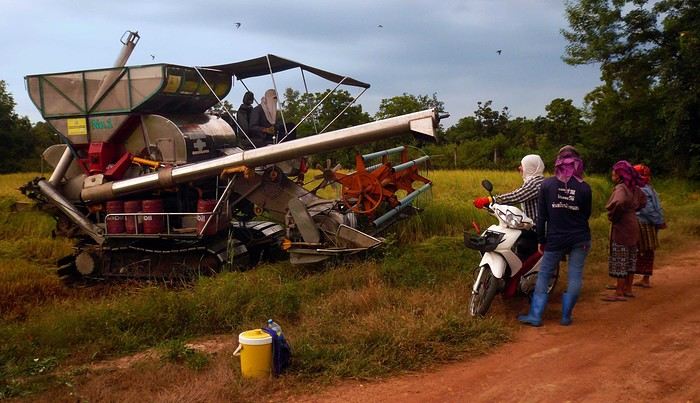
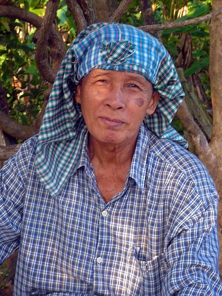
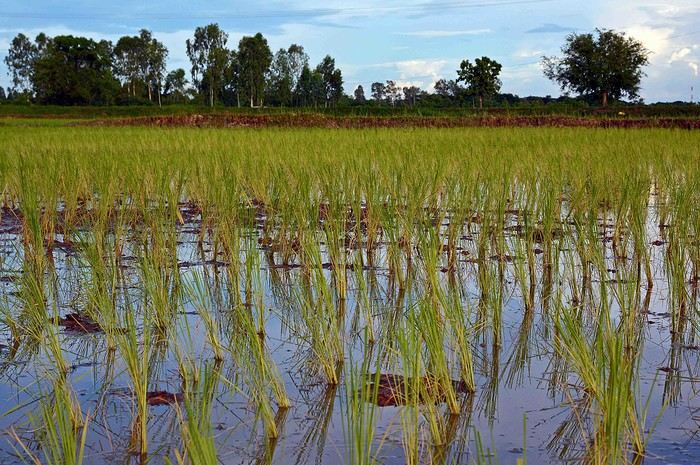
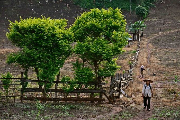
So here’s the counterattack in the form of this photo thread, dedicated solely to the countryside: the locals, their livestock, fields, farms, rice paddies, small rivers, and agricultural machinery. If you’ve got any pictures that fit these categories, feel free to add them!
Comments welcome.
For each photo, I’ll (or you can) indicate the area where it was taken.
Hope you're all doing well! It's been a while since I last traveled, but I'm finally heading out again soon!
For those familiar with SOUTHEAST ASIA, I'm planning to leave in mid-June (with the trip ending at the latest in November), and I don’t have a precise idea of exact places or itineraries yet. The thing is, this period is usually the rainy season...
Any advice? I was thinking of Malaysia or Indonesia, like Sulawesi, for example (all countries and islands in Southeast Asia interest me except Bali).
Any recommendations? I’m doing my research online, but if anyone here has the time and knowledge, I’d love to hear from you.
My partner and I are planning a trip to Indonesia in September-October 2026. It’ll be our first time in Asia, and we’re thinking of hitting the classic spots in East Java and Bali, then wrapping up with a cruise around Komodo for some snorkeling/diving. Here’s a rough draft of our itinerary—I’m wondering if it’s doable.
20/09: Flight from Jakarta to Yogyakarta, arrive around noon, afternoon/evening and overnight in Yogyakarta.
21/09: Borobudur
22/09: Prambanan
23/09: Travel to Bromo (Cemoro Lawang)
24/09: Bromo
25/09: Kawa Ijen
26/09: Travel to Bali, overnight in Pemuteran
27/09: Excursion to Pulau Melujan, overnight in Pemuteran
28/09: Travel to Munduk, overnight in Munduk
29/09: Explore Munduk and surroundings, overnight in Munduk
30/09: Explore Munduk and surroundings, overnight in Munduk
01/10: Route to Ubud (via Pura Ulu Danau Bratan, Jatiluwih?), overnight in Ubud
02/10: Explore Ubud and surroundings, overnight in Ubud
03/10: Explore Ubud and surroundings, overnight in Ubud
04/10: Travel to Denpasar, flight to Labuan Bajo, overnight in Labuan Bajo
05/10: Komodo cruise
06/10: Komodo cruise
07/10: Komodo cruise, flight to Denpasar in the late afternoon/evening or overnight in Labuan Bajo.
08/10: Flight to Denpasar (if not taken the day before), afternoon in Jimbaran, overnight near Denpasar
09/10: 10:00 AM flight Denpasar - SIN, overnight in Singapore
10/10: Flight SIN-YQB
Hi everyone,
My girlfriend and I booked our tickets with Saudia Airlines for a trip to Thailand this summer, from July 5th to August 3rd. Given the geopolitical situation in the Middle East, we’re keeping a close eye on the news.
I was wondering if anyone here is in the same situation as us?
• Have you heard anything about possible mass cancellations or if the airline is still maintaining its routes to Asia?
• Are there any travelers who’ve recently returned who could tell us if air corridors have been changed (longer flight times)?
The idea is to know what to expect so we can prepare as best as possible. Thanks for your replies! !