★ 3 · last edited Dec 11, 2019
Chiloé
Contributionsversion #1created Dec 11, 2019Report this pageLatest contributions in this guideContributors to this guide
Location verified location
 Chiloé
Open the interactive map
Chiloé
Open the interactive map
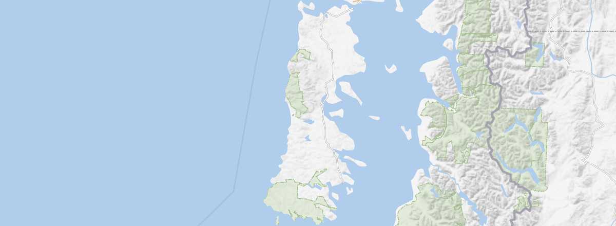
It is the largest island in Chile. Known for its beautiful landscapes and especially its colorful traditional villages, whose wooden churches are UNESCO-listed. You can hike here, though the island tends to be quite rainy.
Overview of Chiloé
It is the largest island in Chile. Forming an archipelago with a few other small neighboring islands, it is known for its beautiful landscapes and especially its colorful traditional villages, whose wooden churches are UNESCO-listed. You can hike on this island, though it tends to be quite rainy.
Key Facts
- Type of place: island.
- Tourist interest: (recommended).
- Location:
- Local time:
- Main town: Castro (42,000 inhabitants).
- Population: 167,659 inhabitants (2012).
- Area: 8,394 km².
- Highest point: Isla San Pedro (960 m).
- Coastline:
- Website: https://www.visitchiloe.cl/
History of Chiloé
Island Environment
Wildlife and Flora
Precautions
What to See
Churches of Chiloé
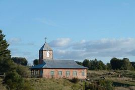
This UNESCO-listed ensemble of sixteen wooden churches on Chiloé Island is representative of the region. They date from the Spanish era and were built in a distinctive style during the 17th and 18th centuries.
This UNESCO-listed ensemble of sixteen wooden churches on Chiloé Island is representative of the region. They date from the Spanish era and were built in a distinctive style during the 17th and 18th centuries.
In the Surrounding Area
What to Do
Climate and Weather in Chiloé
Transportation
Getting There
Getting Around
Accommodation
Food
Useful Addresses
Further Reading
Worth a look / Other
Churches of Chiloé
★★ This UNESCO-listed ensemble of sixteen wooden churches on Chiloé Island is representative of the region. They date from the Spanish era and…