last edited Aug 20, 2020
Getting Around Baja California
Location Map of Baja California
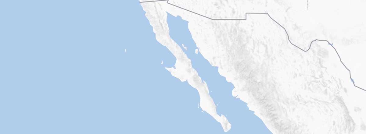 Baja California
Open the interactive map
Baja California
Open the interactive map
What to Choose for Getting Around?
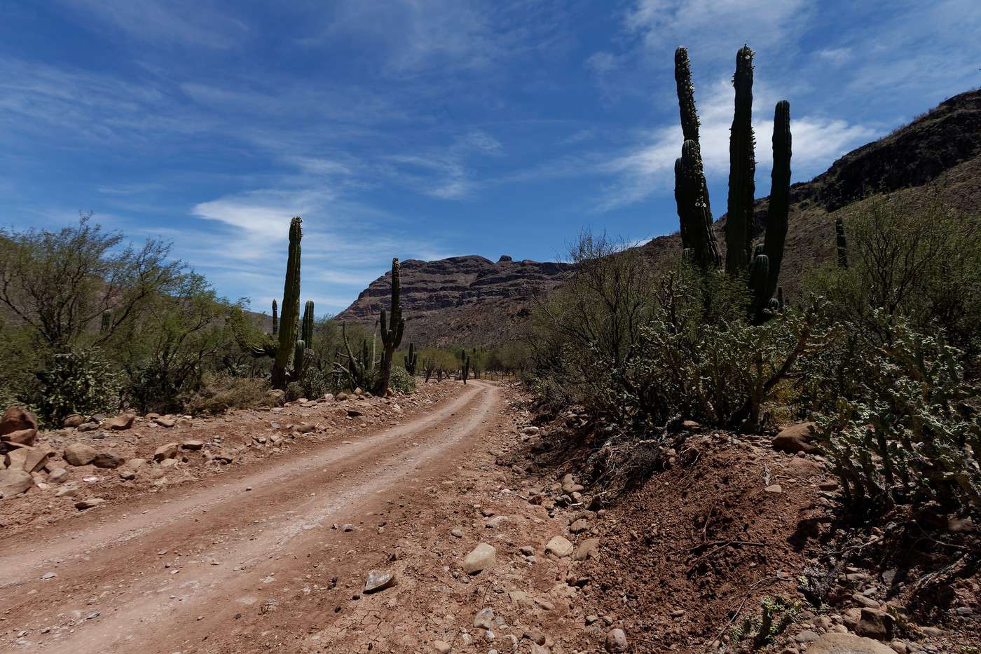
Baja California's road network is quite limited, with a main north-south axis running the length of the peninsula. While this road is generally in good condition, it can be quite narrow in places and requires some driving precautions. Additionally, the central part of the peninsula is extremely desolate and uninhabited, so if you're driving, it's wise to fill up on fuel whenever you have the chance and avoid driving at night.
Although several bus companies, primarily ABC, a regional specialist with a network of around forty cities, provide service, many travelers prefer to get around in their own car or RV. Beyond the convenience of starting your trip with your own vehicle if you live in the United States or Canada, this freedom allows you to leave the urban areas and better enjoy the region's natural sites. If needed, you can consider renting a vehicle, though keep in mind that if you plan to do so from the U.S., it’s very difficult to find a rental company that allows travel between both countries, and it can be very expensive. In short, it’s better to rent in Tijuana if you're in the north or Los Cabos in the south.
As for flying, it’s an affordable way to connect the two ends of the peninsula. For example, expect to pay $100 to $150 USD for a Tijuana-Los Cabos flight with low-cost carriers like Volaris or Aéreo Calafia, a local airline.
Distances Between Cities
Distances (km) between the main cities in the region:
| Cabo SL. | Ensenada | La Paz | Mexicali | Sta Rosalia | Tijuana | |
|---|---|---|---|---|---|---|
| Cabo San Lucas | 1520 | 160 | 1510 | 705 | 1630 | |
| Ensenada | 1520 | 1370 | 245 | 820 | 105 | |
| La Paz | 160 | 1370 | 1360 | 550 | 1475 | |
| Mexicali | 1510 | 245 | 1360 | 810 | 170 | |
| Santa Rosalia | 705 | 820 | 550 | 810 | 925 | |
| Tijuana | 1630 | 105 | 1475 | 170 | 925 |