last edited Aug 14, 2020
Getting Around New England
Location Map of New England
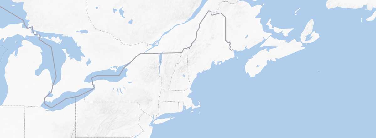 New England
Open the interactive map
New England
Open the interactive map
Road Network, Traffic
Car, RV
Rental
Buses
Two Wheels
Motorcycle
Bicycle
Trains
Amtrak Amtrak trains cover most urban areas in New England, with Boston as the hub. Key routes include the "Northeast Corridor" (Boston-Rhode Island-Connecticut), the "Vermonter" (from Connecticut to Vermont), and the "Downeaster" (from Boston to Portland), some of which extend beyond New England (see details).
Local networks supplement this, such as MBTA for Greater Boston (also handling buses, ferries, and subway for the metro area) and MTA for Greater New York (covering subway and buses), reaching as far as New Haven in Connecticut. These local networks connect to Amtrak’s system.
Boats
New England’s coastline is dotted with small islands, with Martha's Vineyard and Nantucket among the most famous for their scenic beauty and affluent or celebrity residents. Most are accessible only by small ferries (often pedestrian- and bike-only) or private boats.
Domestic Flights
In Town
Taxis
Other Options
Urban bus:
Trams:
Subway:
Which Transport to Choose?
Unlike most other U.S. regions—especially the Midwest and West—New England can, with some planning, be explored using public transport, even in rural areas. That said, having a vehicle will make travel far easier and offer complete freedom.
Distances Between Cities
Distances (km) between major New England cities (and beyond):
| Boston | Burling. | C. Cod | Montréal | New H. | N.Y. | Portland | Provid. | |
|---|---|---|---|---|---|---|---|---|
| Boston -MA | 350 | 110 | 500 | 225 | 350 | 175 | 80 | |
| Burlington -VT | 350 | |||||||
| Cape Cod -MA | 110 | |||||||
| (Montréal) | 500 | |||||||
| New Haven -CT | 225 | |||||||
| (New York) | 350 | |||||||
| Portland -ME | 175 | |||||||
| Providence -RI | 80 |
Note: Distances in the U.S. are measured in miles, with 1 mile = 1.607 km.