last edited Dec 11, 2019
Getting to Alaska by Land or Sea
Location Map of Alaska
 Alaska
Open the interactive map
By Land
Borders
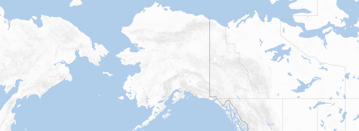
With no land connection to the rest of the United States, Alaska shares 2,477 km of borders with Canada in British Columbia (to the south) and the Yukon (to the east). As for Russia, it is just a few dozen kilometres away, on the other side of the Bering Strait that separates America from Asia. That said, there is no possibility of a maritime crossing (ferries, cargo ships, sailboats) between the two countries, only a few seasonal flights between Anchorage and Yakutia.
Road Access
Public Transport
Cruises
Alaska is a popular cruise destination. Its unique appeal, the relative difficulty of travelling there, and the cost involved mean that in summer, dozens of cruise ships explore the coast, introducing over a million cruisers—primarily North American—to the region. Typically, ships depart from California, Seattle, or Vancouver and stop in southern Alaskan towns such as Ketchikan, Sitka, Juneau, Skagway, or occasionally Anchorage for those venturing further north.
By Sea
Ferries
Apart from internal routes, there is only one international ferry line to and from Alaska. It is operated by Alaska Marine Highway System, the state’s main ferry company, with an extensive network of over 30 ports spanning 8,000 miles. The route actually begins in Washington State (Bellingham) and British Columbia (Prince Rupert) before continuing along the southern coast of the peninsula to Dutch Harbour in the Aleutian Islands. For those with time (and some means), arriving in Alaska by sea is a great experience, if only because it allows you to discover the Inside Passage, the stunning waterway that runs along the American-Canadian border north of Seattle up to Alaska.