last edited Dec 11, 2019
Getting to Tenerife by Sea
Location Map of Tenerife
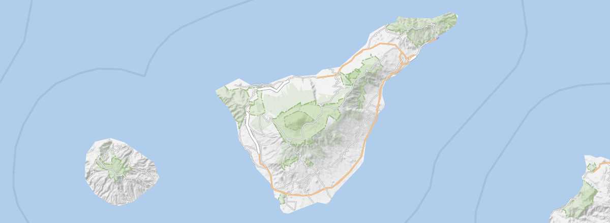 Tenerife
Open the interactive map
Tenerife
Open the interactive map
By Sea
To/From Mainland Spain
While the Canary Islands have no connections with neighbouring Morocco, there are routes to and from "mainland Spain". For example, Naviera Armas operates weekly services from Huelva to Santa Cruz de Tenerife or Las Palmas, taking roughly 30 to 40 hours depending on the island, with pedestrian fares starting at a minimum of 150 € per trip.
To/From Other Islands in the Archipelago
As the main island, Tenerife is logically the best connected. All other islands are linked from Santa Cruz (in the north) or Los Cristianos (in the south) via one or both of the ferry companies operating in the archipelago: Fred Olsen, Garajonay Express, Naviera Armas, and Trasmediterranea.
Inter-Island Distances
Approximate distances (km) between islands.
| El Hierro | Fuerteventura | Gran Canaria | La Gomera | La Palma | Lanzarote | Tenerife | |
|---|---|---|---|---|---|---|---|
| El Hierro | 350 | 200 | 70 | 80 | 420 | 120 | |
| Fuerteventura | 350 | 90 | 280 | 350 | 15 | 190 | |
| Gran Canaria | 200 | 90 | 150 | 200 | 180 | 60 | |
| La Gomera | 70 | 280 | 150 | 60 | 350 | 35 | |
| La Palma | 80 | 350 | 200 | 60 | 390 | 90 | |
| Lanzarote | 420 | 15 | 180 | 350 | 390 | 240 | |
| Tenerife | 120 | 190 | 60 | 35 | 90 | 240 |