★ 3 · last edited Jul 8, 2020
Korčula
Location verified location
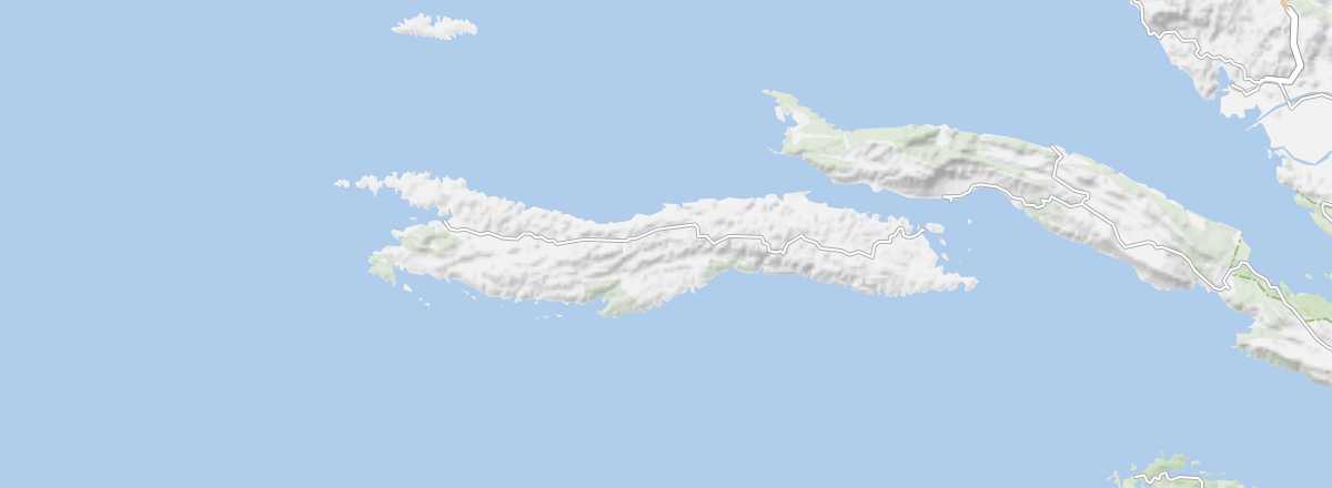 Korčula
Open the interactive map
Korčula
Open the interactive map
This is the second most populous island in Croatia. Its main town, sharing the same name, boasts a remarkable old centre. Beyond its landscapes, the island offers diving opportunities and beautiful beaches.
Overview of Korčula
This is the second most populous island in Croatia. Its main town, sharing the same name, boasts a remarkable old centre. Beyond its landscapes, the island offers diving opportunities and beautiful beaches.
Key facts
- Type of place: island.
- Tourist interest: (recommended).
- Location:
- Local time:
- Main locality: Korčula (5,663 inhabitants)
- Population: 15,522 inhabitants (2012).
- Area: 279 km².
- Highest point: Klupca (568 m).
- Coastline:
- Website: www.visitkorcula.eu/
History of Korčula
Island environment
Wildlife and flora
Precautions
What to see and do in Korčula
In the surrounding area
Climate and weather in Korčula
The island has a Mediterranean climate, with mild winters and dry, hot summers, though tempered slightly by the sea. Rainfall occurs mainly in autumn and winter, which is also a windy period. Late spring and early autumn are good times to visit, as is summer (though it can be crowded and prices rise) for those who prioritise beach time.
Sea temperature throughout the year
| Jan. | Feb. | Mar. | Apr. | May | Jun. | Jul. | Aug. | Sep. | Oct. | Nov. | Dec. | |
|---|---|---|---|---|---|---|---|---|---|---|---|---|
| Korčula | 14 | 13 | 14 | 15 | 18 | 21 | 23 | 24 | 22 | 20 | 17 | 15 |