★ 2 · last edited Dec 11, 2019
Manitoba
Contributionsversion #1created Dec 11, 2019Report this pageLatest contributions in this guideContributors to this guide
Location verified location
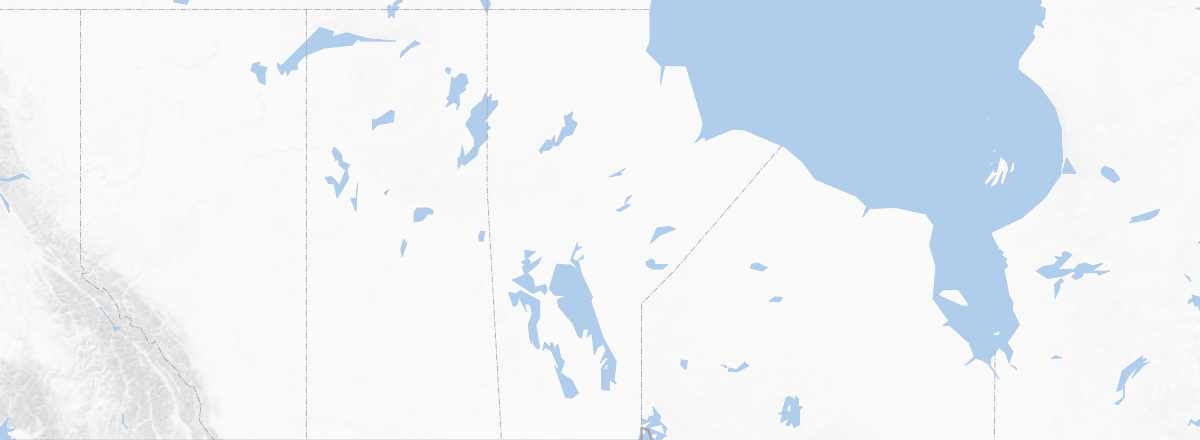 Manitoba
Open the interactive map
Manitoba
Open the interactive map
Like its neighbours, Manitoba is a sparsely populated "nature state" outside the Winnipeg region. While it boasts several parks and nature reserves, is home to one of the best places to see polar bears in Wapusk National Park, and the Interlake region between the vast lakes Manitoba and Winnipeg draws visitors for its beaches, natural areas, and outdoor activities, the tourism here is primarily local and very little international.
Overview
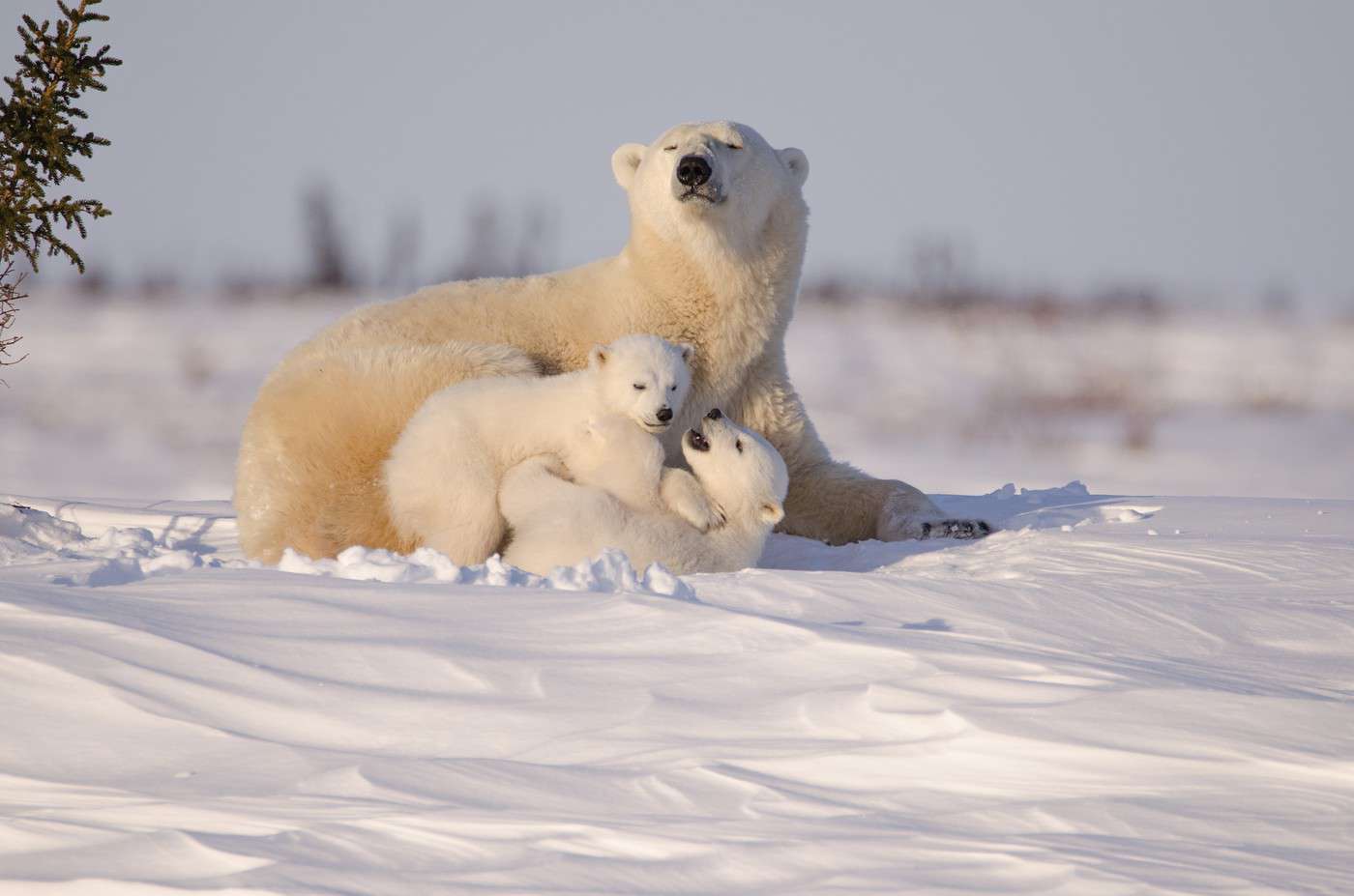
Like its neighbours, Manitoba is a sparsely populated "nature state" outside the Winnipeg region. While it boasts several parks and nature reserves, is home to one of the best places to see polar bears in Wapusk National Park, and the Interlake region between the vast lakes Manitoba and Winnipeg draws visitors for its beaches, natural areas, and outdoor activities, the tourism that has developed here is primarily local and very little international.
Key Facts
- Type of place: province.
- Location: west of Ontario with a maritime outlet at Hudson Bay.
- Local time: . The entire province is on "Central Time."
- Capital: Winnipeg
- Population: 1,304,000 inhabitants (2016)
- Area: 647,801 km².
- Density: 2 inhabitants/km².
- Highest point:
- Lowest point: sea level.
- Coastline:
- Highlights (out of ): Nature ; Adventure ; Culture ; Relaxation/Holidays / .
- Website: