last edited Dec 11, 2019
Overview of Agadir
Location Map of Agadir
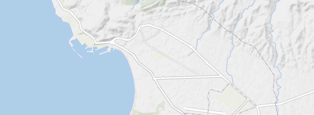 Agadir
Open the interactive map
Overview of the city
For decades, Agadir has been the country's leading seaside resort, with around 900,000 visitors per year. This trend is set to continue with the ongoing project for a new "mega-resort", Taghazout-Argana Bay, located just a few kilometres north of the city.
Along Agadir's 10 kilometres of fine sandy beaches, you can sunbathe, ride a camel, windsurf, and go deep-sea fishing. In the evening, the choice is just as tough between the shops, international restaurants, cafés, and nightclubs. All these amenities, along with an international airport, make Agadir Morocco's second most popular tourist destination after Marrakech. The city lacks historical heritage, however, as this was lost in the 1960 earthquake that destroyed it entirely. In short, Agadir is purely a "holiday-relaxation" destination and should be treated as such.
Key facts
- Type of place: large city.
- Latitude/longitude: 30.26' N and 9.36' W.
- Location: on the Atlantic coast, southwest of Marrakech.
- Distances: Casablanca (465 km northeast), Essaouira (175 km north), Marrakech (275 km northeast), Ouarzazate (375 km east).
- Local time: .
- Population: 421,844 inhabitants (2014).
- Area:
- Altitude: sea level.
Tourism
Travel essentials
- By air: France-Agadir for 150/400 €.
- Backpacker daily budget:
- Best for accommodation:
- Best for getting around:
- Best time for climate/crowds/prices: the shoulder seasons from late April to June and September to October.
- Tourist interest: (worth seeing).
- Website: http://www.visitagadir.com