last edited Dec 11, 2019
Overview of Mainland Greece
Location Map of Mainland Greece
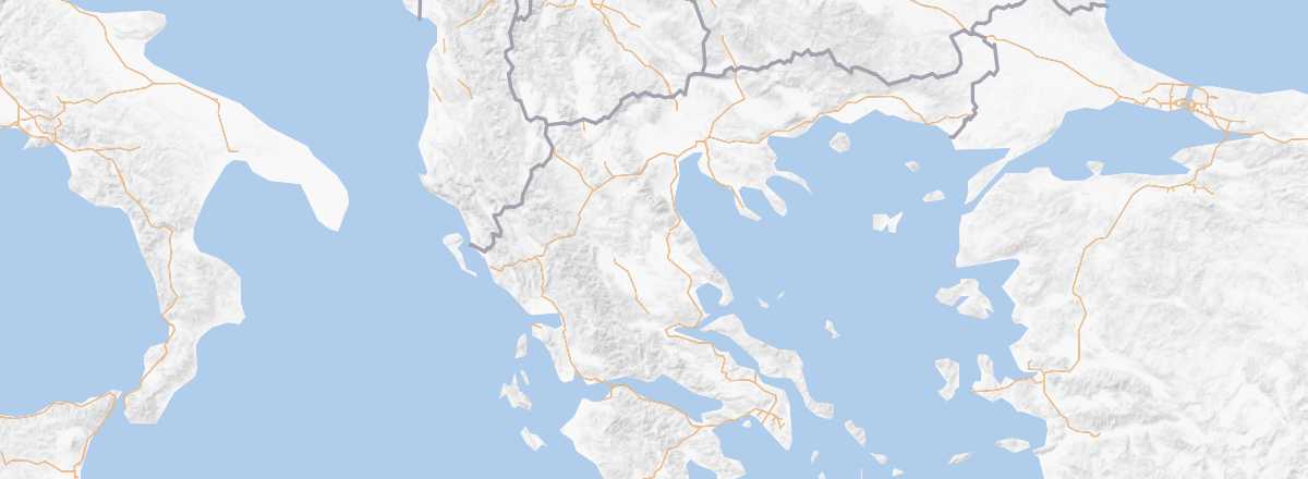 Mainland Greece
Open the interactive map
Quick Overview
Mainland Greece is the part of the territory that stretches from the northern borders to the Peloponnese.
Key Facts
- Type of place: tourist region.
- Location: between the northern borders (Bulgaria, Macedonia...) and Peloponnese.
- Latitude/longitude: 39.00' N 22.00' E.
- Local time: .
- Main cities: Athens and Thessaloniki.
- Population:
- Area:
- Density:
- Highest point: Mount Olympus (2,917 m).
- Lowest point: sea level.
- Coastline:
Tourism
Like much of the country, mainland Greece is an area where sea and mountains meet, offering stunning landscapes and several interesting natural zones perfect for outdoor activities, such as the Pindus Mountains or Mount Olympus. While the region may have fewer beach resorts than the islands, it remains rich in culture and history. Beyond the capital, Athens, there are several renowned sites like Delphi or the cliff-top monasteries of the Meteora and the famous Mount Athos.
Travel Essentials
- Destination: for beginner travelers.
- By air: Paris-Athens from 130 to 300 € round trip.
- Backpacker daily budget: 45 to 65 € per person.
- Accommodation: homestays or camping.
- Getting around: car or bus.
- Risks: minimal health risks and low security concerns.
- Best time for climate/crowds/prices: late April to early June and mid-September to late October.
- Interests (out of ): Nature ; Adventure ; Culture ; Relaxation/Holidays