★ 1 · last edited Dec 11, 2019
Paranaguá
Location verified location
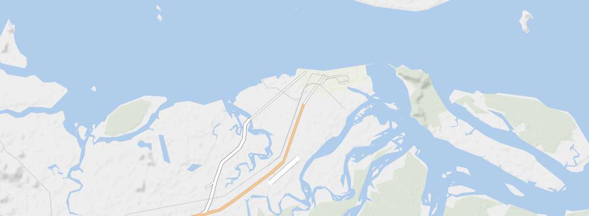 Paranaguá
Open the interactive map
Paranaguá
Open the interactive map
A coastal city with colorful colonial remnants along its harbor. It is also the terminus of the Serra Verde Express tourist train line connecting it to Curitiba.
Overview of Paranaguá
This is a coastal city with colorful colonial remnants along its harbor. It is also the terminus of the tourist train line Serra Verde Express connecting it to Curitiba.
Key Facts
- Type of place: city.
- Tourist interest: (worth a stop if you are in the area).
- Location:
- Distances:
- Local time: .
- Population: 151,829 (2016).
- Area: 827 km².
- Altitude: sea level.
- Website: visitbrasil.com/paranaguá