★ 2 · last edited Jul 6, 2020
Symi
Location verified location
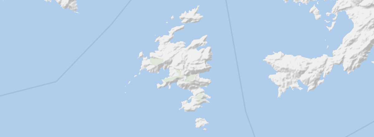 Symi
Open the interactive map
Symi
Open the interactive map
This small island has one of the most beautiful ports in Greece with its 19th-century architecture. Visitors come here to explore its monastery and other religious buildings, but above all to enjoy its beaches and hiking opportunities.
Overview of Symi
This small island has one of the most beautiful ports in Greece with its 19th-century architecture. Visitors come here to explore its monastery and other religious buildings, but above all to enjoy its beaches and hiking opportunities.
Key Facts
- Type of place: island.
- Tourist interest: (worth seeing).
- Location:
- Local time:
- Main locality:
- Population: 2,590 inhabitants (2011).
- Area: 58.1 km².
- Highest point: Mount Vigla (616 m).
- Coastline: 85 km.
- Website: http://symi.gr/en/
History of Symi
Island Environment
Wildlife and Flora
Precautions
What to See and Do in Symi
In the Surroundings
Climate and Weather in Symi
The island enjoys a Mediterranean climate with sunny, hot, and very dry summers, though tempered by winds. Winters are mild and accompanied by occasional heavy rainfall. In terms of climate (and even visitor numbers), the best time to visit is during spring or early autumn.
Sea Temperature Throughout the Year
| Jan. | Feb. | Mar. | Apr. | May | Jun. | Jul. | Aug. | Sep. | Oct. | Nov. | Dec. | |
|---|---|---|---|---|---|---|---|---|---|---|---|---|
| Symi | 16 | 15 | 16 | 17 | 19 | 22 | 24 | 25 | 24 | 23 | 21 | 18 |