Back to the discussion

in Entre deux voyages › Carnets de voyage

Northern Chile, Andean impressions. (page 2 of 10)

Discussion started by Attila on 2024-12-02

190 replies

This thread has been translated into English.


Northern Chile, Andean impressions

Attila · 2024-12-15 · Message 21 of 191

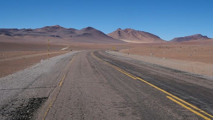
We've got 420 kilometers of road ahead of us today.

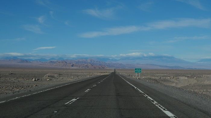
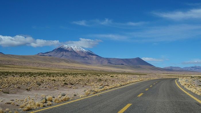
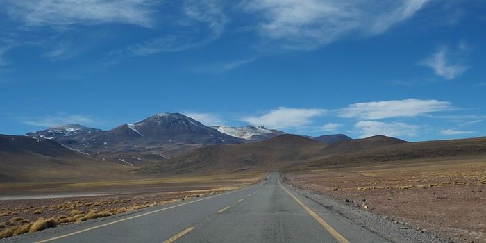
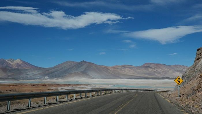
Long, long straight stretches, occasionally a bend...

Trucks, mines, mines, trucks.

Climbs, descents, and above all, desert everywhere!
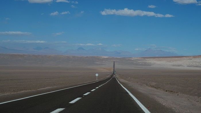


The scenery improves dramatically as we approach San Pedro.
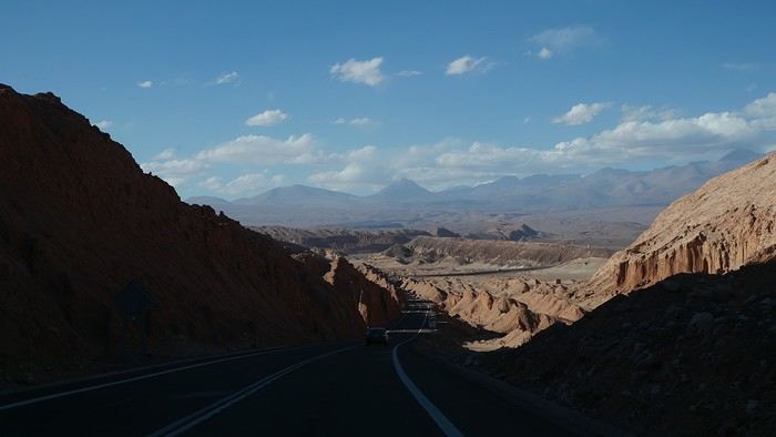


We pass through the famous town, which has really developed since my last visit about twenty years ago, and head to our reserved lodging, a chilly house in the village of Solor.

This rental isn’t recommended in winter due to the lack of effective heating. The owner opted for a gas space heater, which should only be used in semi-outdoor areas. The constant need for fresh air means it shuts off after a few minutes to prevent carbon monoxide poisoning...

Don’t oil-filled radiators exist in Chile?

Anyway, we froze as soon as night fell... Too bad, since we’re staying for 4 nights...

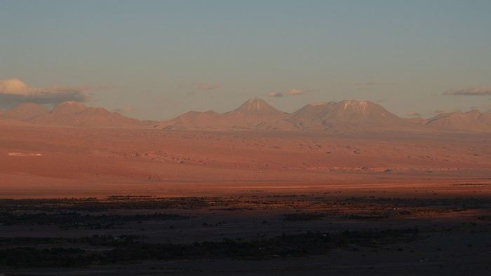
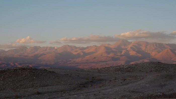
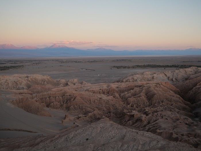
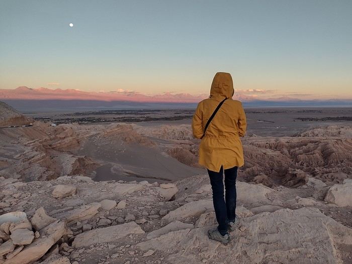
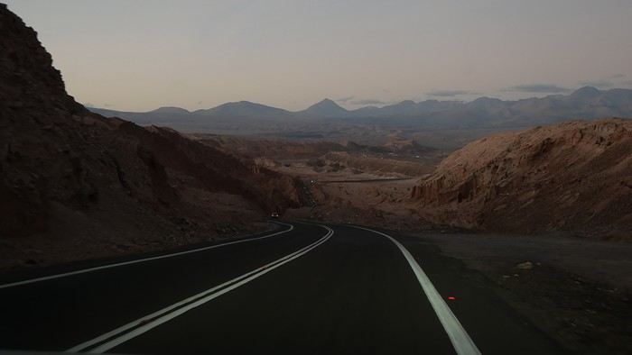
But let’s not get ahead of ourselves—off to enjoy the sunset from the viewpoints along the B241.

Only the Kari viewpoint is paid, as it’s part of the Moon Valley.

The Likan-Antay viewpoint, on the other hand, is free.

Though finding a parking spot is another story...

We’re far, *very* far, from the tranquility of the Huasco salt flat.

It seems every nationality on Earth has chosen San Pedro as their base for a Chilean vacation, and most have opted for the—*not* obvious, in my opinion—charms of a group excursion to get here...

It’s a bit of a free-for-all, especially since all the tours include an aperitif in their "sunset" package...

Thankfully, the beauty of the spectacle makes you forget the chaos in the background!
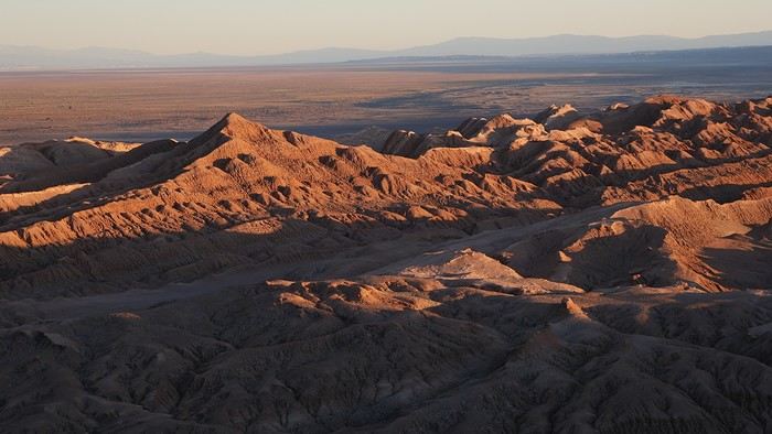


The big takeaway from this evening? Avoid wandering around Moon Valley in the late afternoon!

No desire to share the trails with hundreds of people...

What if we went tomorrow morning instead?

Northern Chile, Andean impressions.

Whiskette · 2024-12-15 · Message 22 of 191

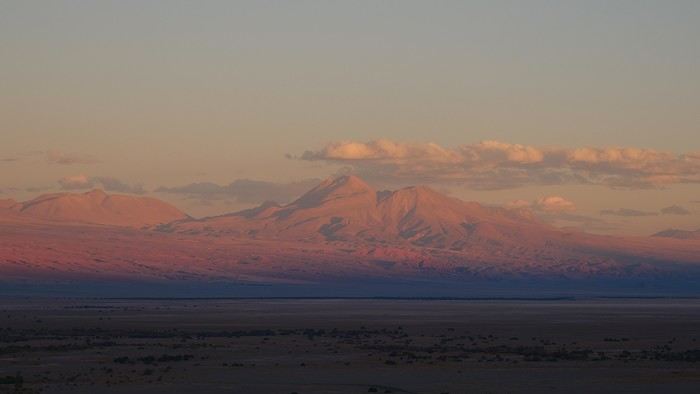
Whoooooa.... The sunset over Licancabur, the shadow creeping up and slowly devouring the volcano’s slopes... What memories. Thanks for the pics! 🙂 Whis

Northern Chile, Andean impressions.

Thierry6789 · 2024-12-15 · Message 23 of 191

Thanks for all these additional sightseeing ideas for future travelers! 😉

I’ll raise a Tumbo Sour to you next time I’m in the area. 🙂

Maybe the season also affects the condition of the Andean "roads"?
Yes, that’s very likely. After the rains from December to March on the high plateaus, many tracks need to be redone!

Northern Chile, Andean impressions.

Attila · 2024-12-16 · Message 24 of 191

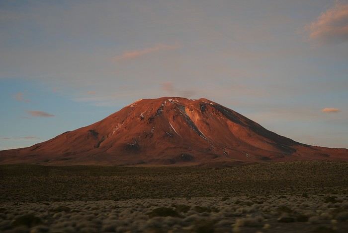
Licancabur, the beacon of San Pedro! 😄

Northern Chile, Andean impressions

Attila · 2024-12-16 · Message 25 of 191

Cheers! 😉

Northern Chile, Andean impressions.

Attila · 2024-12-16 · Message 26 of 191

The duvet was nice and warm, but it’s so hard to drag yourself out of bed when you imagine the polar temperature that must be waiting in the bathroom...

One, two, three—brrr!

Luckily, the sun starts peeking into the living room, and it’ll warm up our breakfast nicely.

By the time we leave our place, the temperature finally climbs well above 10°C, which is perfect for a little walk.

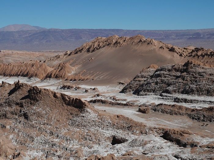
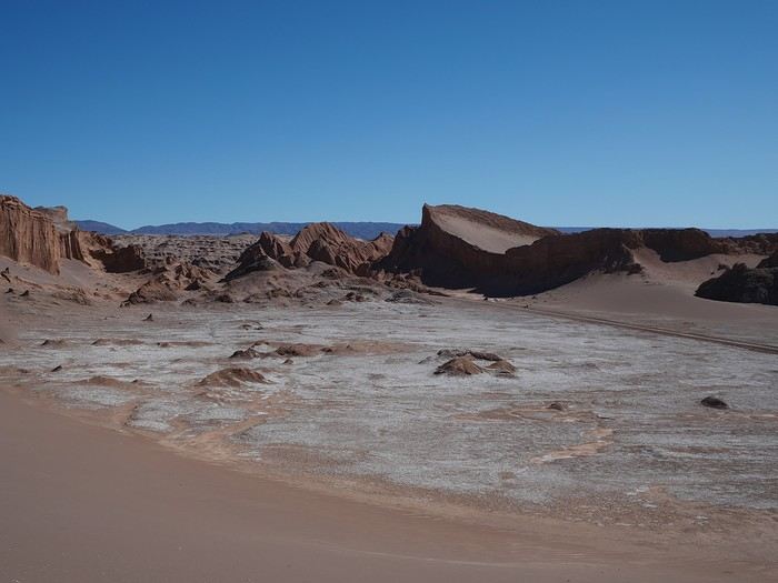
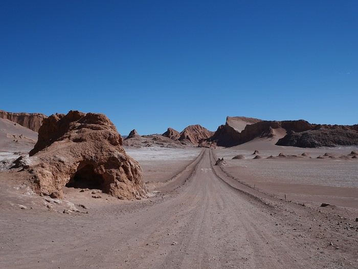
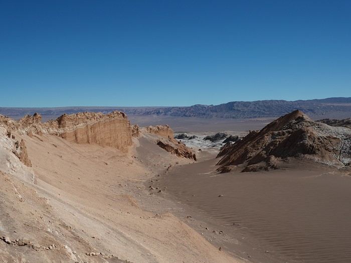
And guess what’s on today’s agenda: short hikes through the Moon Valley!

Perfect timing...

We’re now at the entrance of the site. We pay for our tickets, and an employee explains everything we can do in the area.

And most importantly, what we *shouldn’t* do—namely, driving off the tracks or walking off the paths.

Ready for a lunar expedition lasting a few hours?
Here we go!


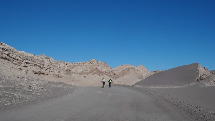
Next time, will it be us on the bikes?

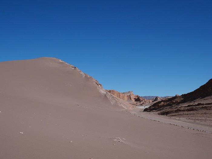
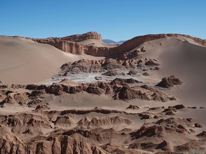
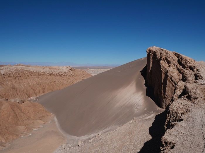
A few kilometers later, we spot the parking lot marking the start of the hike around the Duna Mayor.


Very few vehicles, very few bikes, not a single group.

Perfect!

We climb to the different viewpoints offered by this hour-long hike at a leisurely pace when suddenly, a voice breaks the silence.

"Are you with the group? Did you walk off the trail?"

Uhh, no, it’s just the two of us, and we didn’t set a toe off the path!

The voice then calls out to other tourists before finally finding the culprits...

Some French travelers in search of the perfect portrait with the desert as a backdrop—a portrait where the model posed *beyond* the limits...

We then notice that employees are strategically positioned along the trail, binoculars in hand, watching for the slightest misstep.

If a tourist strays, they’re immediately reported via walkie-talkie!

There’s some serious discussion going on behind us... What will happen to these fellow Frenchies? A hefty fine, maybe?

We’re not used to following rules, and often they seem absurd to us.

But in the end, the Chileans are absolutely right to control the flow—because the sight of a pristine dune is unmatched!

I can’t even imagine what these landscapes would look like if thousands of tourists could wander wherever they pleased!


The loop is complete, and we drive to the next hike.


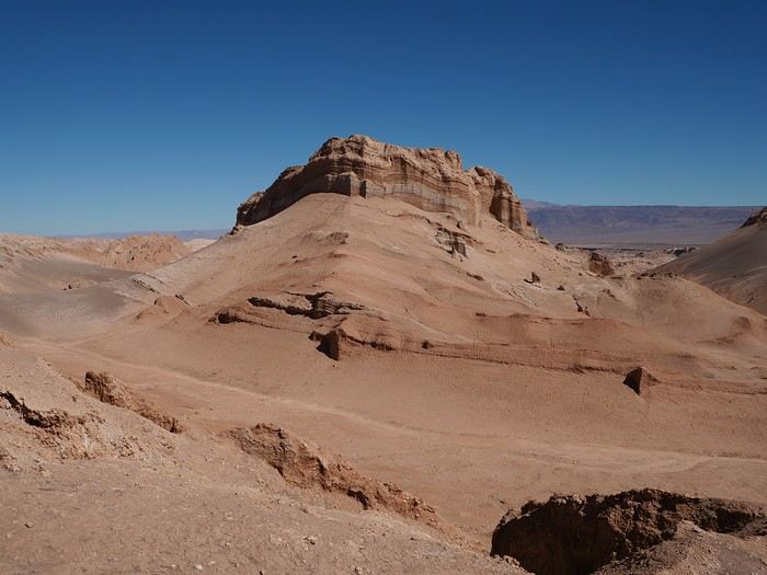
The Achaches lookout points are just as spectacular as the viewpoints from Duna Mayor.

And just as closely monitored...

The hike takes about an hour, with a few sweaty climbs!


We have a picnic at the bottom of the valley.

I’m not sure if it’s allowed, but no one says anything...

Then we drive to the old salt mines and the Tres Marías, which aren’t the most interesting part of the excursion.

The road through the park ends here, so we turn back.

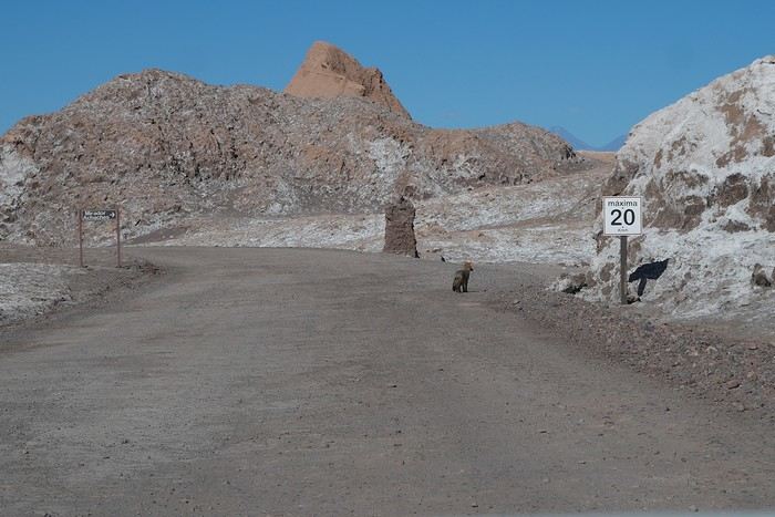
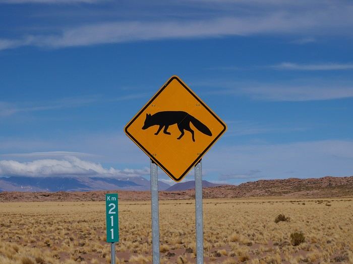
A lovely surprise awaits us near the exit: the fleeting appearance of a gray fox!


I hope it has a special permit to walk on the moon’s untouched soil...

Northern Chile, Andean impressions.

Attila · 2024-12-18 · Message 27 of 191

Don't you fancy an ice cream or a cake?

Let's head to San Pedro then—we should find what we're after there!

A dusty alley, a church, a handful of restaurants and tourist agencies—that’s the memory I had of it.

I should warn you right away, this village has really grown!

We struggle to find a parking spot, then set off on foot in search of our sweet treats.

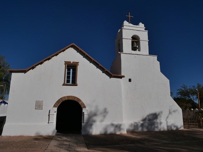
The simple white church still stands at the heart of the town, but its surroundings are quite different now.


Or is my memory playing tricks on me?

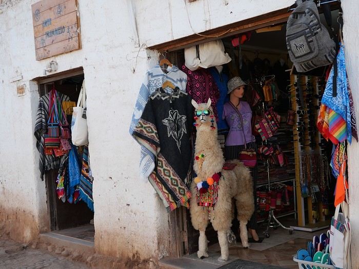
I don’t recall these rows of souvenir shops, this multitude of bars, or this overwhelming number of eateries.


We spot passersby enjoying cones—our ice cream place can’t be far now!

After a random sorbet, we head back to our cabin for a quick rest.

The day isn’t over yet—there’s still a sunset to admire!

Even though our morning ticket includes entry to the Kari viewpoint, we don’t feel like ending up in the middle of crowds and tour groups again, like yesterday.

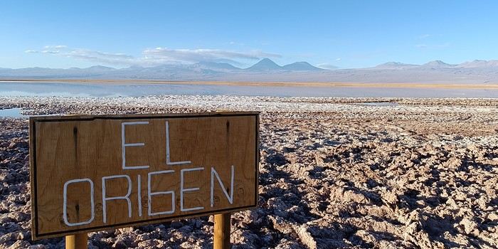
So we decide to visit Laguna Tebinquiche instead. Its more remote location promises a bit more peace and quiet.

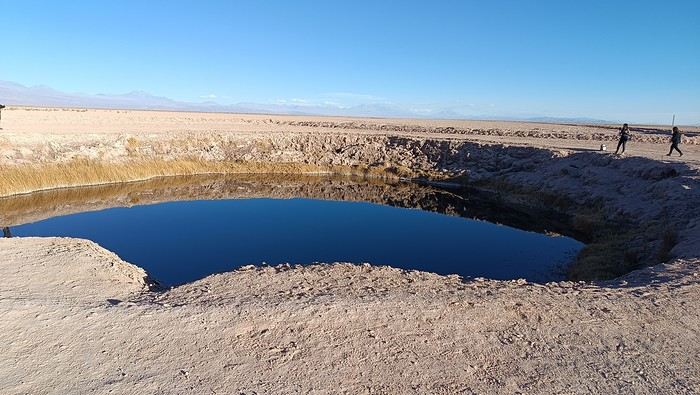
After 30 kilometers, we arrive at Ojos del Salar—two circular depressions filled with water that leave us pretty unimpressed.

I grab my camera to capture the moment, but the screen stays black...

Oops, the battery’s dead!

I’ll often find myself out of luck during this trip—and the next ones—because of this new Panasonic that doesn’t hold a charge like the old models...

My smartphone still has plenty of battery left, so we’ll make do with that!


The lagoon’s parking lot is just ahead.

Only a few cars—we should be able to enjoy the place in peace!

We pay for our entry and follow the well-marked paths leading to the water’s edge.


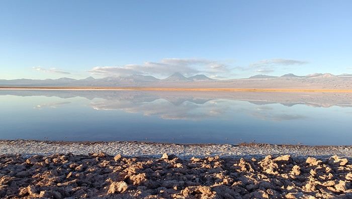
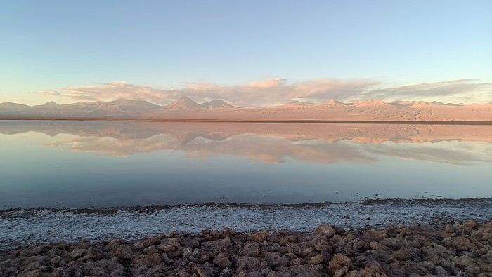
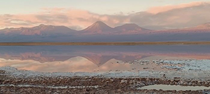
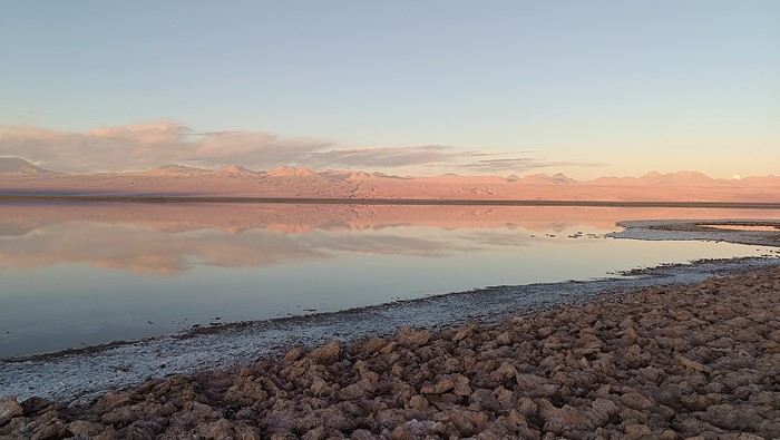
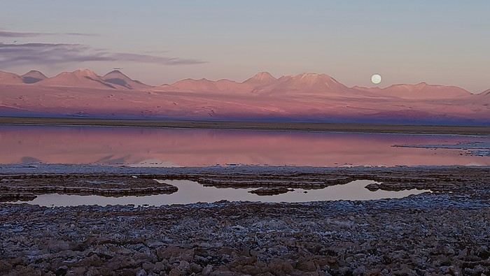
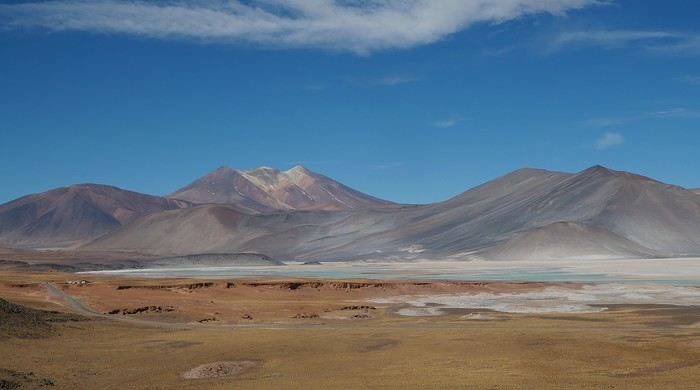
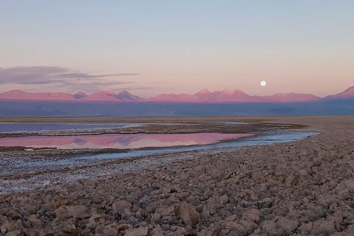
Licancabur volcano stands tall in the distance, surrounded by its smaller siblings.

The reflection of the volcanic range in the lagoon mesmerizes spectators snapping photos as the blue gradually gives way to a palette of pink hues.


Wait, isn’t that the French couple from this morning over there?

We’ll learn they had to put up quite a fight to avoid being kicked off the site, and they seem much calmer now in this lovely evening...

Closing time is approaching, so we head back.

The sun has set, and the moon is beginning its ascent.


Why didn’t I check my battery level before leaving the house???


Okay, San Pedro de Atacama is *super* touristy, but you quickly understand why!

Northern Chile, Andean impressions.

Rouquine38 · 2024-12-18 · Message 28 of 191

Hi Agnès, I’m finally wrapping up this travel journal a bit late... I still haven’t gotten back into the VF groove 😉. Chile and Bolivia were on my to-do list, but after my struggles with altitude sickness in Peru two years ago, these destinations will remain a dream for me 🙁. Still, I’ll be following your adventure virtually—those latest sunset photos, even on a smartphone, are wow! !

Northern Chile, Andean impressions.

Attila · 2024-12-18 · Message 29 of 191

Hi Isabelle,

I’m not sure we’ll ever go this high again. Personally, I’m okay except for a slight headache, but my partner is really struggling! 🤪

What would be ideal is if there were accommodations at lower altitudes, like in San Pedro. It’s really tough sleeping at 4,000 meters. 😕

Northern Chile, Andean impressions.

Rouquine38 · 2024-12-18 · Message 30 of 191

Yes, I can confirm—it was already impossible for me in Chivay, which is at 3,600m 😅

Northern Chile, Andean impressions.

Attila · 2024-12-18 · Message 31 of 191

If sleeping somewhere between 1500 and 2700 works for you, you could plan a trip to northern Argentina with a bit of flexibility. 😉

Northern Chile, Andean impressions.

Rouquine38 · 2024-12-18 · Message 32 of 191

Yeah, why not, but for now it’s not on the list—which is already way too long 😊

Northern Chile, Andean impressions.

Attila · 2024-12-19 · Message 33 of 191

To access the high-altitude lagoons, you need to book and pay for your entries on the indigenous community’s website that manages the sites.

Be careful, there’s a daily quota of available spots—once it’s gone, it’s gone!

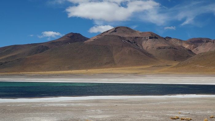
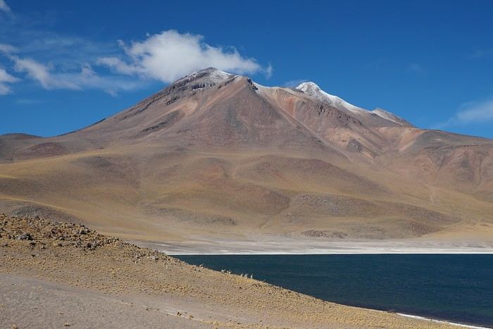
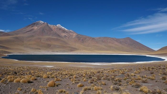
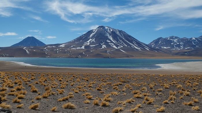
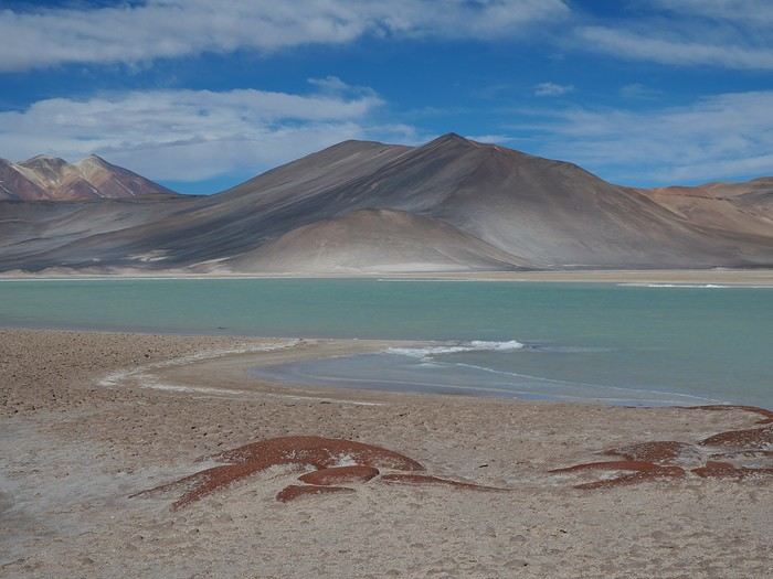
We chose the option that allows access to the entire site, namely Miscanti, Miñiques, and Piedras Rojas.

The system is far from perfect because while booking and payment are done online (and only online!), the ticket is only issued in person.

And not just anywhere!

You have to show up an hour before the start of the visit (and not after...) at an office in Socaire to receive the precious pass.

This village is about 90 kilometers from San Pedro and has no network coverage.

So you won’t be able to complete your purchase on-site even if there are spots left...

The day had barely begun when we left our place, hoping to arrive at the Socaire ticket office by 09:30.


We’re at 3,200 meters above sea level, the wind is freezing, and we’re waiting our turn in front of the booth, bundled up in our warmest clothes.

No pre-printed tickets—the employee has to fill out a page as a pass.

Needless to say, it takes quite a while, and some reckless folks in shorts look like they’re about to turn into ice statues...

Ah, it’s our turn!

Ticket in hand, we still take a moment to linger in the village.

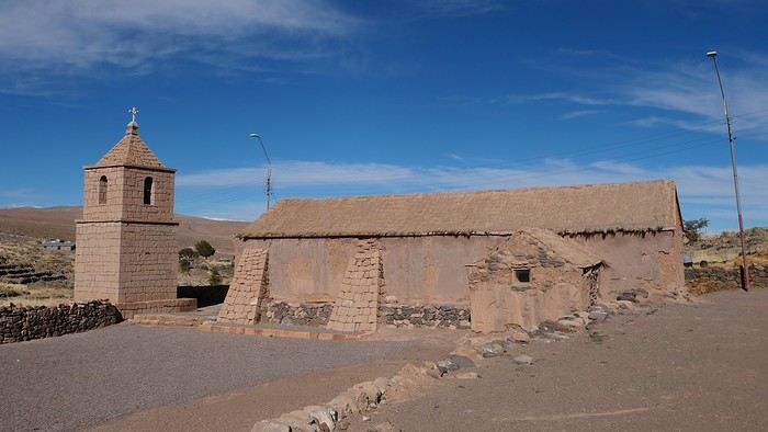
Socaire’s charms are limited: two closed churches!


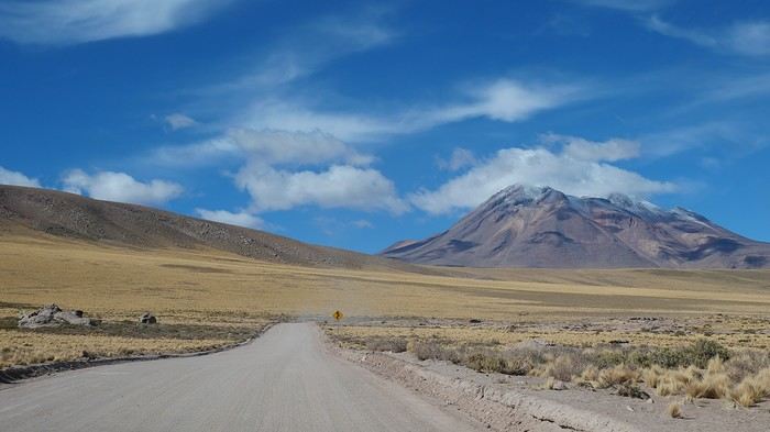
We now set off on the ribbon of asphalt that leads to the lagoons and, beyond that, Argentina.

30 kilometers to reach the first ones, 120 to get to the border!


A sign on the left—we must be there.

Our tickets are carefully checked, then the pavement turns to gravel.


(To be continued in the next message—too many photos!)

Northern Chile, Andean impressions.

Attila · 2024-12-19 · Message 34 of 191

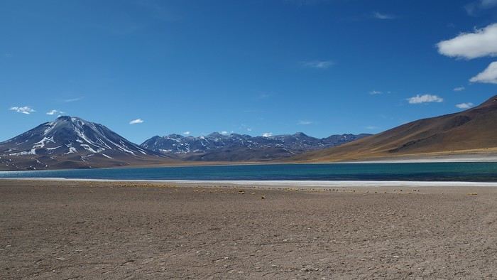
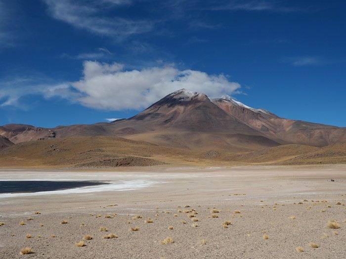
What a fabulous panorama!

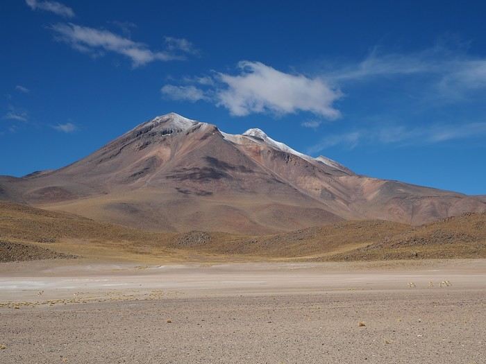
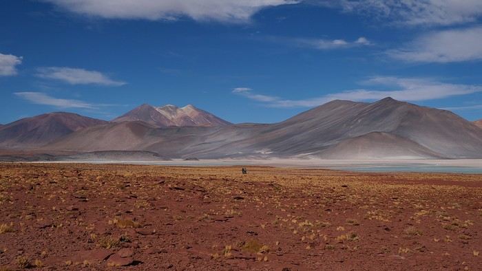
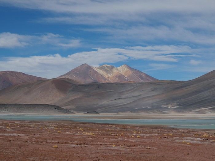
We stop at the different viewpoints over the lagoons and are left speechless by such wonders.


There aren’t many people around—we’re among the first for this time slot!

The only downside is the wind and the cold!


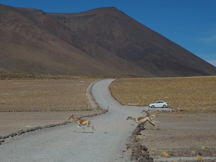
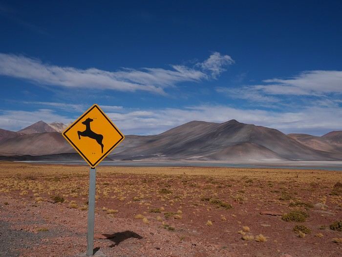
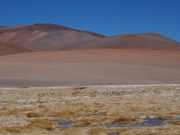
We’re now at 4,100 meters above sea level, and unlike the vicuñas, we don’t have the luxury of built-in warm wool...


The walks are short, but when you add them up, it still takes some effort.


We hit the international road toward the Salar de Aguascalientes just as loads of minibuses start arriving at Miscanti. We made it out just in time!


Northern Chile, Andean impressions

Attila · 2024-12-19 · Message 35 of 191

After a 50-minute drive across the puna and a cozy picnic in the car, we park in the huge parking lot at Piedras Rojas.


The site seems to attract every tourist within a 250-kilometer radius, judging by the number of vehicles parked...

We’re still above 4,000 meters, and the thermal sensation is just as polar.

Our tickets are scrutinized under a microscope again, and signs warn walkers to stick to the trails.

We follow the flow of strollers along a perfectly marked path.

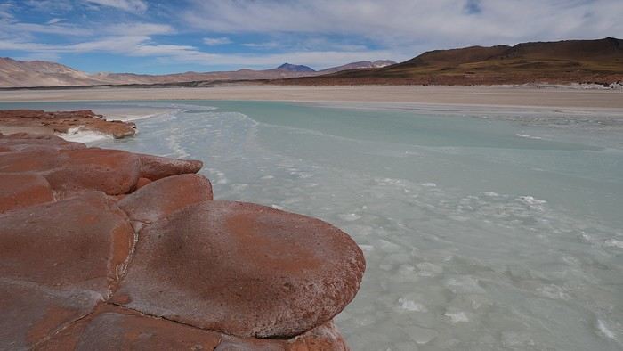
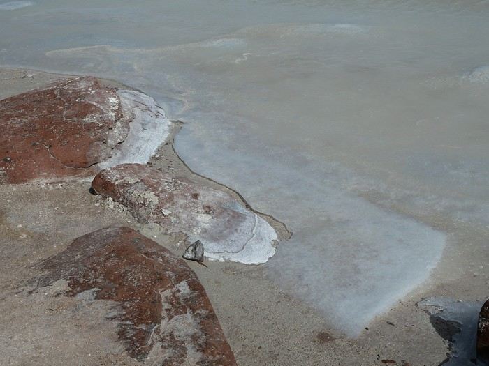
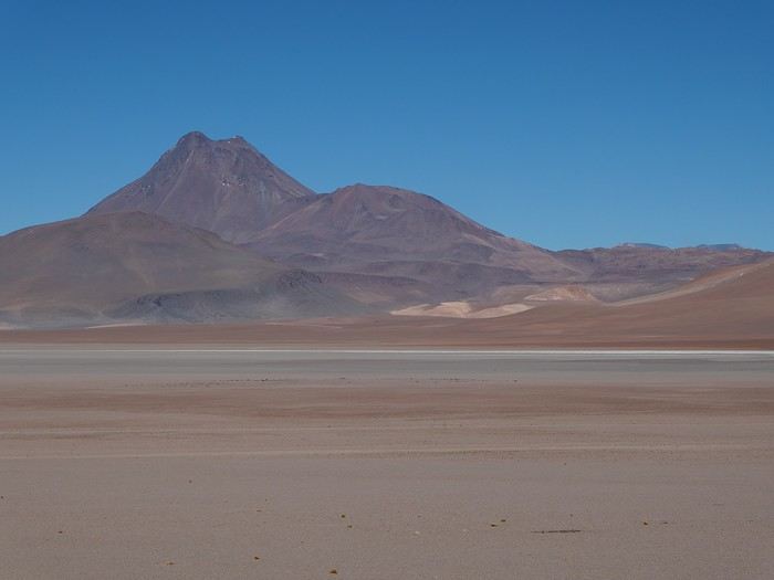
The ice reveals its crystalline edges, encircling the Salar in a biting embrace.


The reddish rock contrasts with the lagoon-blue of the brackish waters.

The moment would be sublime if we could have the place to ourselves...

The scramble for the best selfie or portrait is almost underway, and the site’s magic is seriously diminished...


So, with a hint of bitterness, we continue toward the border post (Note: crossing is reserved for commercial vehicles).

Northern Chile, Andean impressions.

Attila · 2024-12-20 · Message 36 of 191

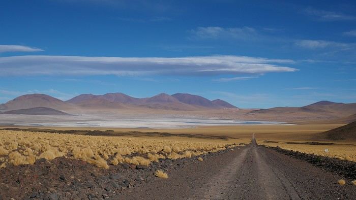
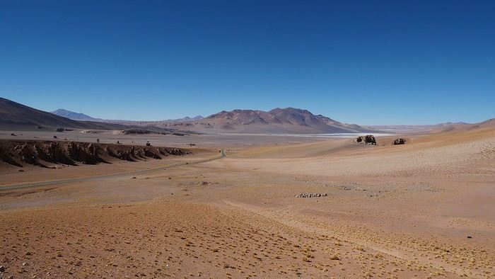
60 more kilometers on the odometer, desert landscapes just as we hoped!

In every sense of the word...


Paso de Sico marks the edge of our playground—we have to turn back.

Take the same route?

I spotted a track that connects to Route B357, a parallel road to the one we’ve been on so far.

Should we try this alternative?


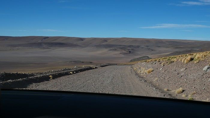
The track offers some lovely viewpoints but isn’t exactly a smooth ride.

Our average speed takes a hit...

On top of that, we keep gaining altitude and end up flirting with 4,800 meters.

Do we keep going or not?

Once we reach the B357, the road surface improves. We don’t feel like retracing the rough part, and it’s getting late.

Let’s keep going!


The bad and the good alternate—we’re completely isolated, and anxiety starts creeping into our minds.

How many more kilometers until pavement?

Estimates range from 40 to 70—we clearly bit off more than we could chew...

Laguna Lejia comes into view, and then we spot the silhouette of one, then two 4x4s.

Back to civilization?

The vehicles are branded with a park’s colors, and the passengers, in official uniforms, wave us down.

Where are you coming from? You can’t pass through here! You didn’t buy tickets—it’s illegal!

We realize we’re in a community-managed area with a visitor’s fee.

Well, there weren’t any signs, so we didn’t know!

We present them with a textbook case.

The community had never anticipated tourists arriving from the southeast!

Alright, there’s construction on the track—follow us to Talabre.

Perfect, that’s where we were supposed to meet the main road.

Now we’re under escort.


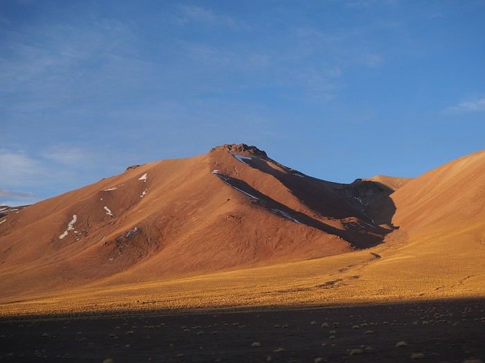
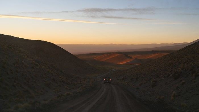
No time to linger and admire Volcán Láscar lighting up in the sunset!

It’s pitch black by the time we finally reach Talabre. But we’re not done with our "guardians" yet...

You have to pay now! And you don’t have a 4x4—it’s forbidden.

Using translation apps, we plead our case effectively—*palabras* in Talabre...—and end up paying only 10,000 pesos.

That’s the price of two senior tickets!

The employee assures us she’ll email our official receipts. We think we’ll be waiting a long time and that the money will end up in her pocket.

We were so wrong!

Exhausted, all we want now is dinner and rest.

That’ll happen in another 65 kilometers...

---/---

If we did it again, we should’ve turned back the same way.

The landscapes we rushed through seemed more than worth it and deserved a full day!

In the right direction, this time...

Northern Chile, Andean impressions

Ticapi · 2024-12-22 · Message 37 of 191

Your photos remind me of Bolivia. I love these landscapes.😊

Northern Chile, Andean impressions.

Attila · 2024-12-22 · Message 38 of 191

After that, Bolivia is sometimes only a stone's throw away. 😉

My partner thought the Miscanti-Miñiques lagoons were the most beautiful natural site he’d ever seen.

Northern Chile, Andean impressions.

Attila · 2024-12-22 · Message 39 of 191

A trip to San Pedro de Atacama isn’t exactly a walk in the park if you want to explore every nook and cranny of the Altiplano!

The already considerable distances to cover are compounded by the altitude you have to endure.

While this town sits at just 2,400 meters above sea level, the roads and tracks leading out of it climb to over 4,000 meters.

Today, we’ll be gaining even more altitude as we take International Route 27, which runs alongside Bolivia before veering toward Argentina. Both countries are accessible: one via the Paso Portezuelo del Cajón (4,482 m – dirt track), the other via the Paso de Jama (4,275 m – paved).

We’ll spend a good chunk of our day above 4,000 meters, which will really put some bodies to the test.

Starting from Solor, I’m the driver. I let my companion know our plan for the day and shift into gear.


The road rolls by, and the landscapes remain just as breathtaking.

I’m starting to think we’ve been driving for way too long.

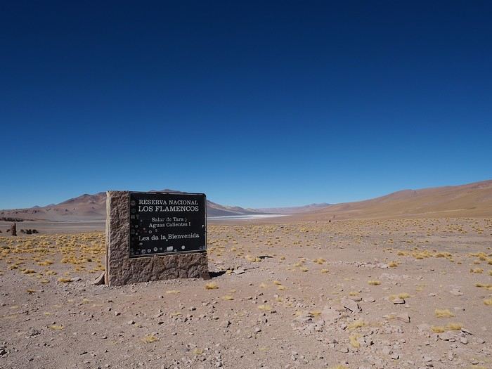
Shouldn’t we have reached the turnoff for the Salar de Tara by now?

What turnoff?

The co-pilot’s a bit scatterbrained—we’ve gone way too far.

Oh well, we’ll just keep going almost to the border since it’s pretty close. Then we’ll turn back to the junction...

This detour adds a few dozen extra kilometers to our itinerary and, more importantly, an extra hour above 4,200 meters.

That’ll take its toll on our energy by the end of the day.

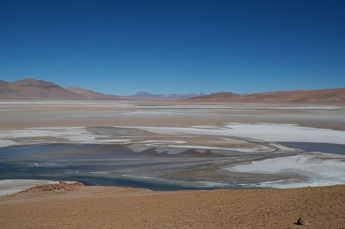
Ah! Here we are again at the viewpoint over the Pacana Caldera, a massive caldera stretching 60 kilometers by 32—we should see a track branching off to the right soon!


There it is!


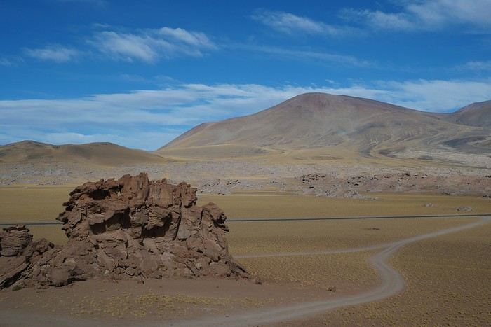
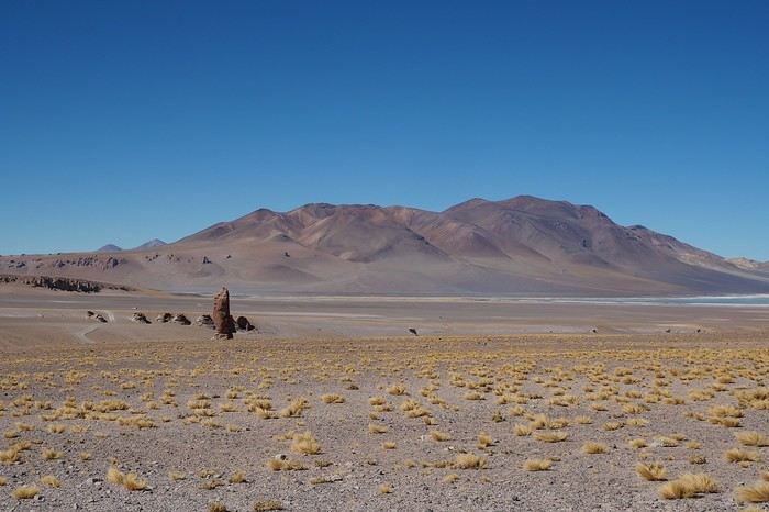
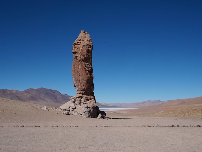
The track first passes alongside the Monjes de La Pacana, unforgettable monoliths shaped by volcanism and erosion.


Then it crosses a sandy area, a dune zone with a pretty steep slope.

We don’t spot any other vehicles, and the tracks crisscross all over the place. Thankfully, we’d marked the route on Maps.me!


(To be continued in the next episode...)

Northern Chile, Andean impressions.

Marati · 2024-12-22 · Message 40 of 191

Hello Agnès, I’m jumping in late, but with a lot of interest! Your favorite aperitif seems to be the Pisco Sour. What’s it made from? It’s for a friend—personally, I’m steering clear of alcohol to avoid motion sickness...😛

I noticed a track that connects to the B357 road, which runs parallel to the one we’ve taken so far. Should we try this alternative?

I’d already saved this alternative route to get back to SPA by passing through Laguna Aguas Calientes and Laguna Leija. Thanks for testing it out for us—we’ll avoid repeating your adventures 🤪 😉! And thanks for the booking link for the Miniques and Miscanti lagoons—I hadn’t read anything about that. The site doesn’t seem to work great, given how long the calendar takes to update. And it’s impossible to check beyond January 2025. Would you recommend 8:30 AM or 10:30 AM, and in what order (if there’s a preference)? Thanks

VoyageForum — the largest community of French-speaking travellers.