Back to Swedish Lapland: Trek on the Kungsleden and Crossing Sarek
13/08 – Skierfe – somewhere above Rapadalen
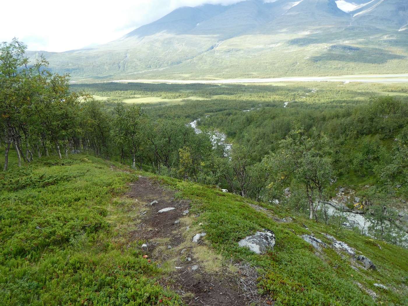
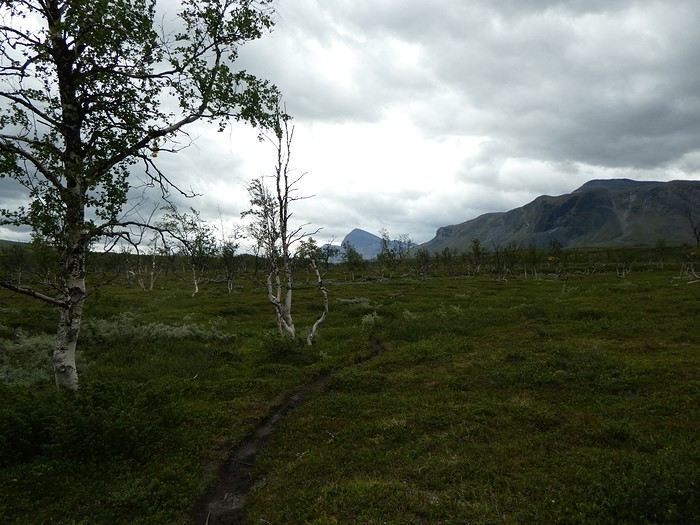
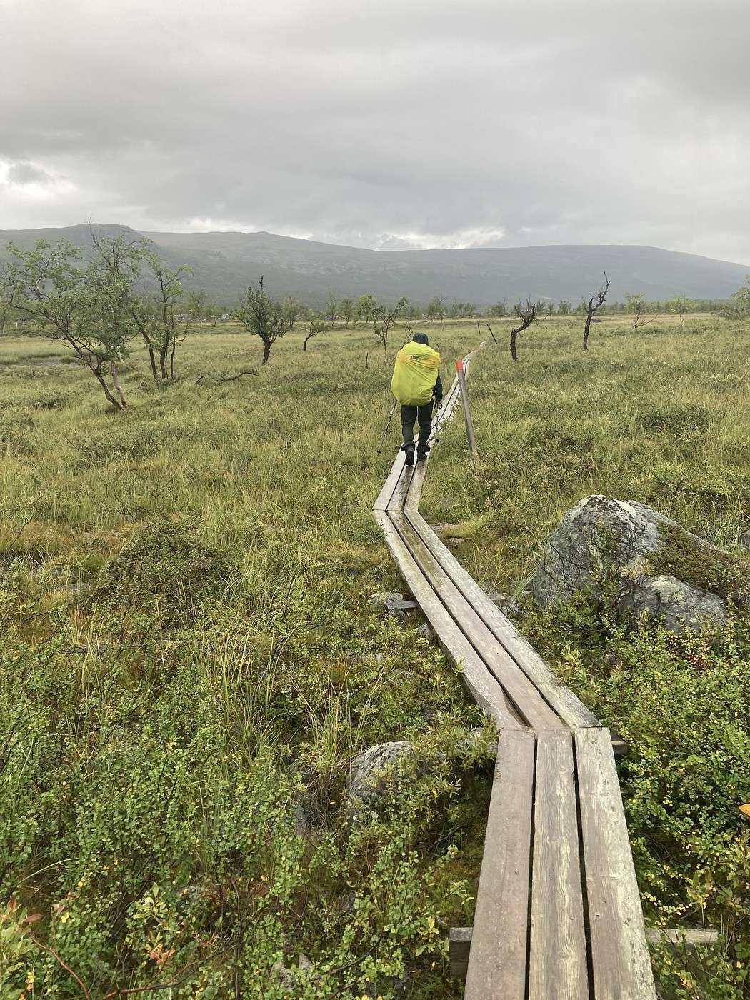
Before starting our ascent along the mountainside while staying high up (as the Swede at breakfast in Saltoluokta advised us), we had to cross a depression. This depression turned out to be quite a hassle with quite a few wet areas.
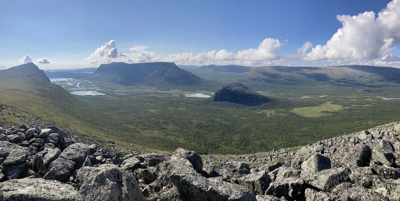
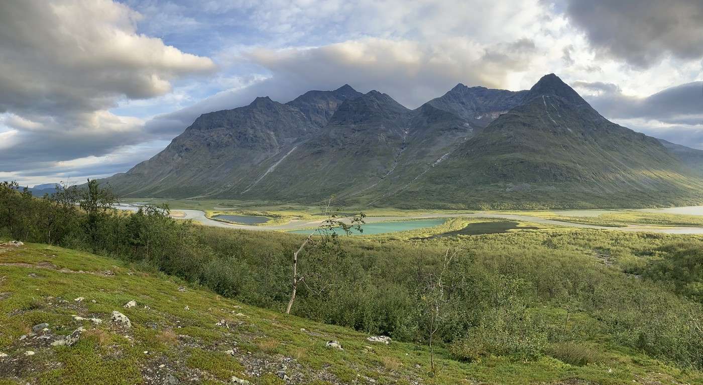
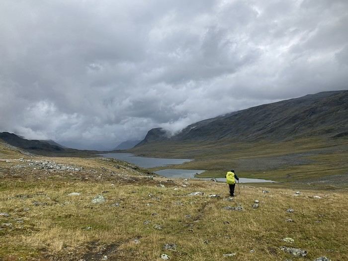
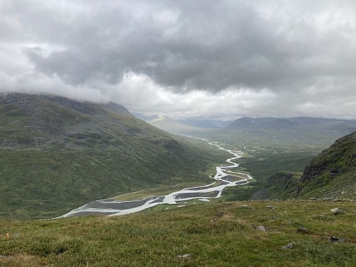
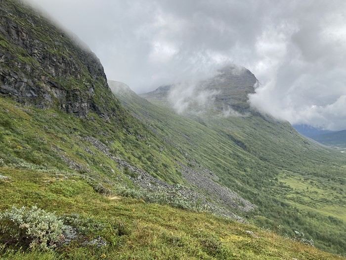
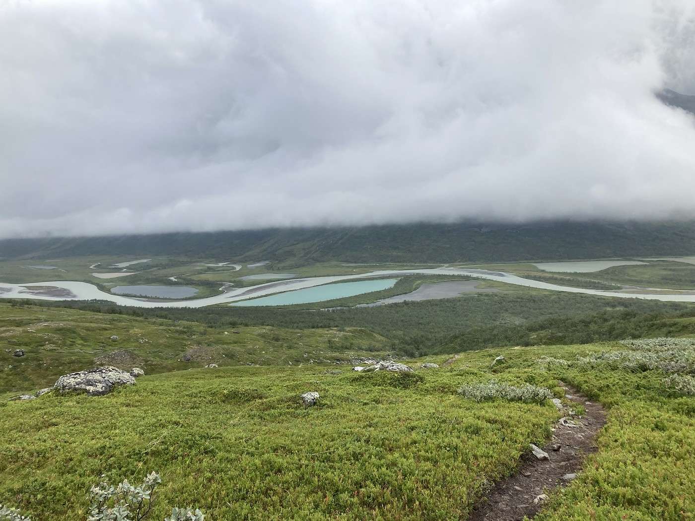
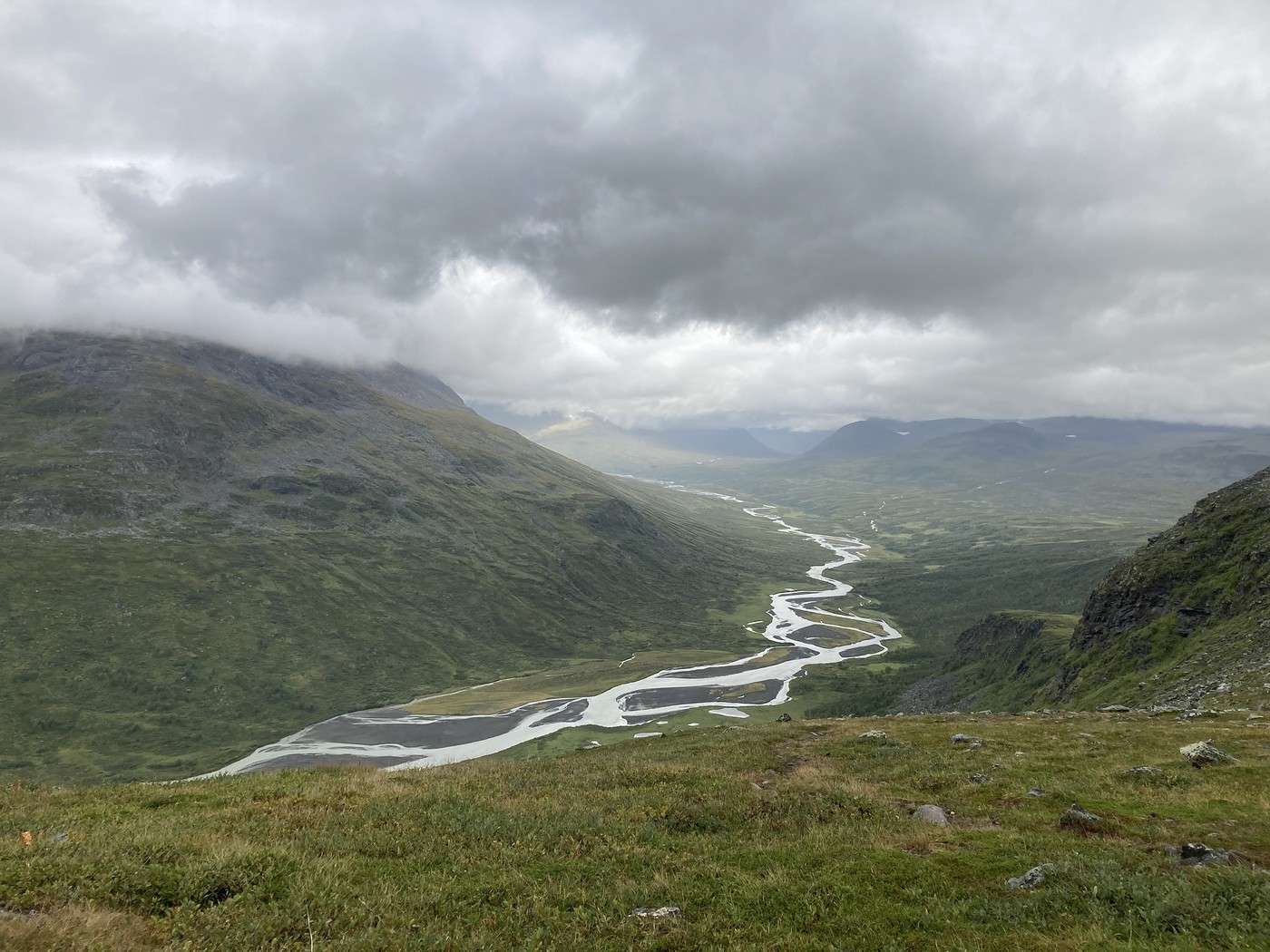
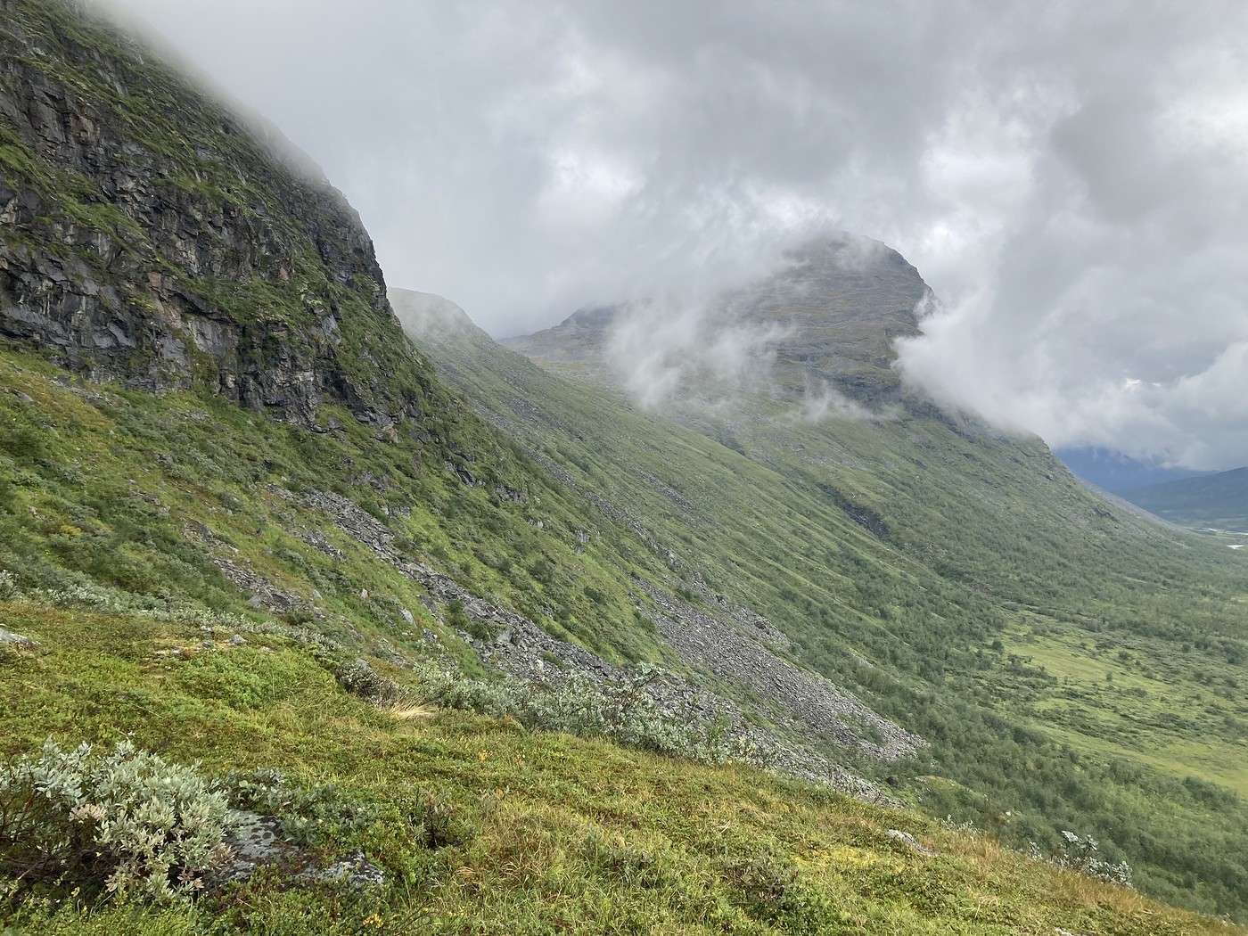
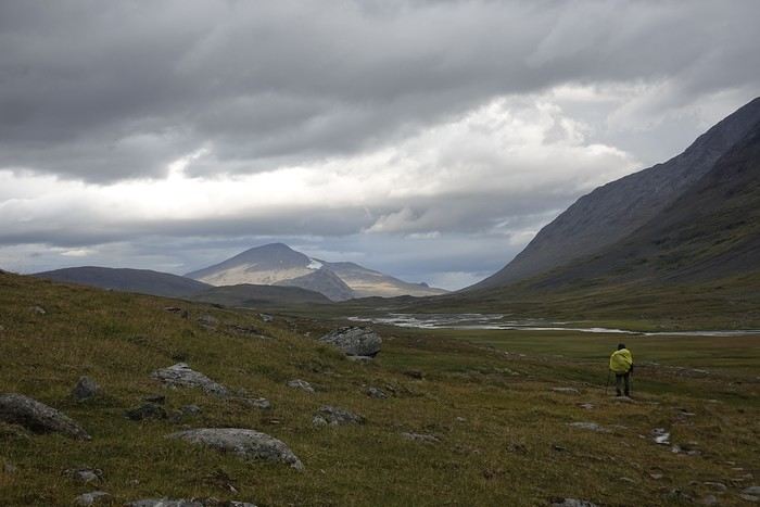
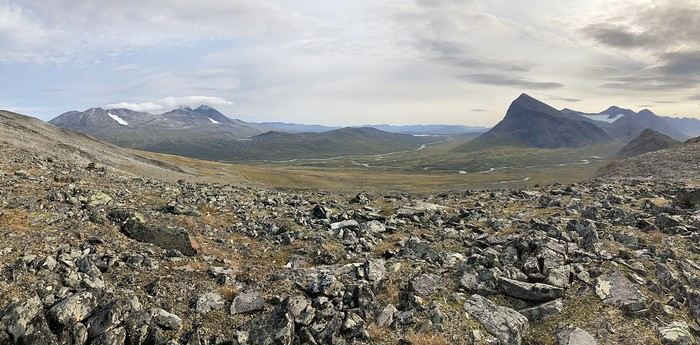
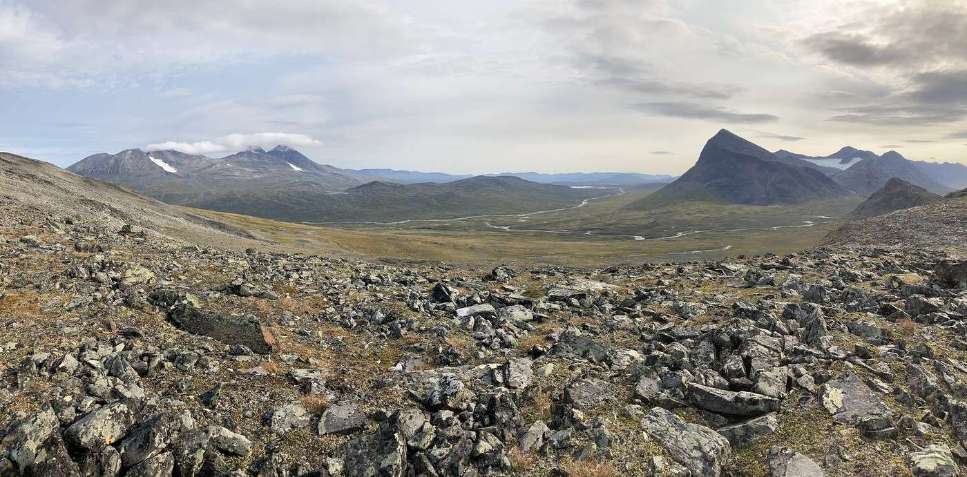
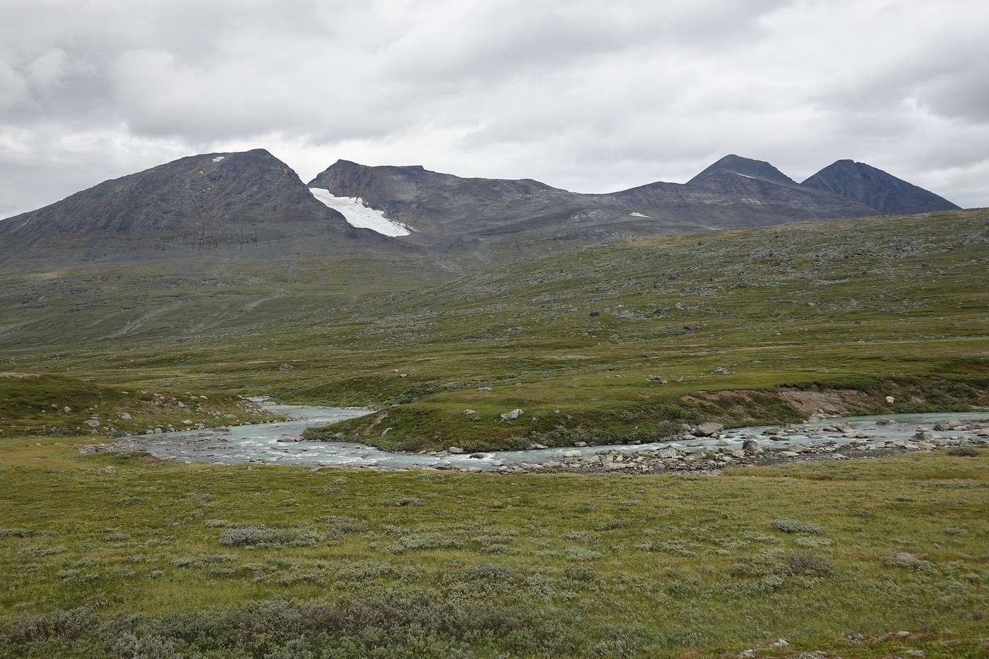
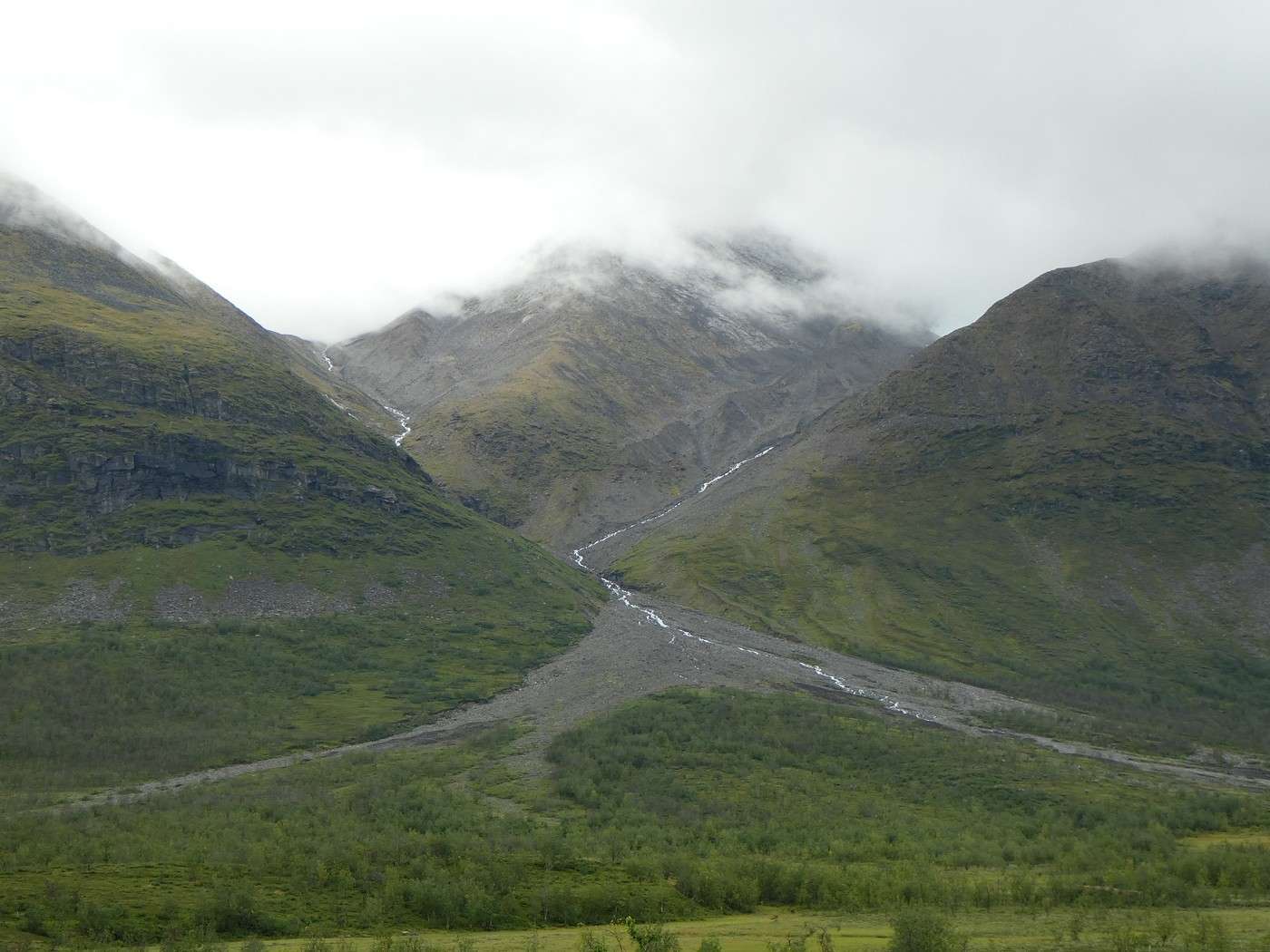
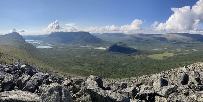
Next, we had to climb back up and walk along the southern slope of Gierdogiesjtjahkka. And there, it was pure scree—progress was slow and tough. Still, there were a few cairns here and there that made navigation easier. Luckily, the view was breathtaking.
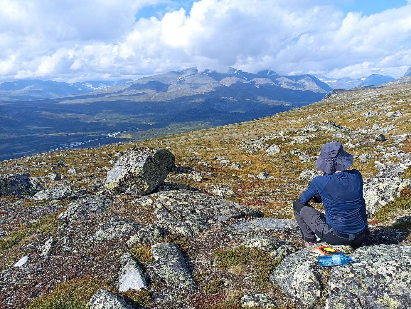
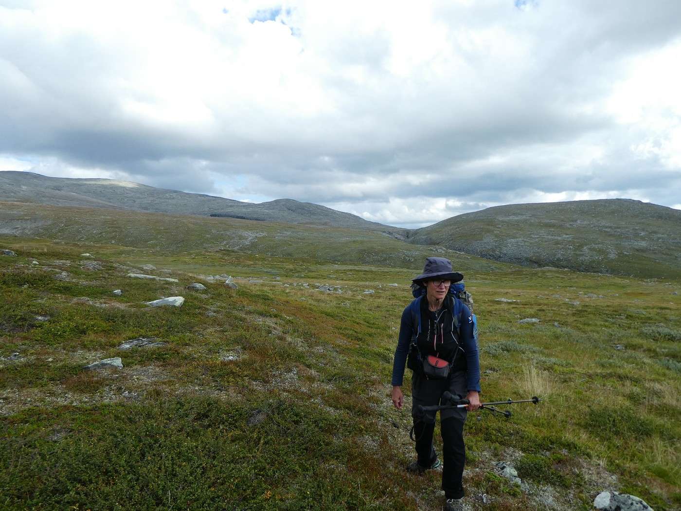
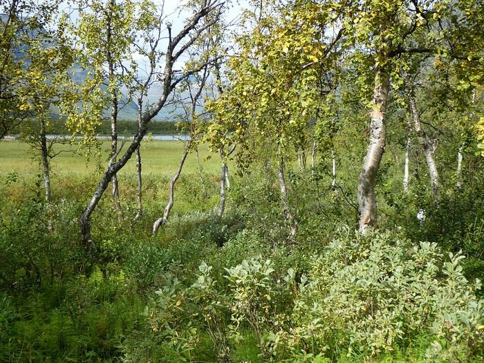
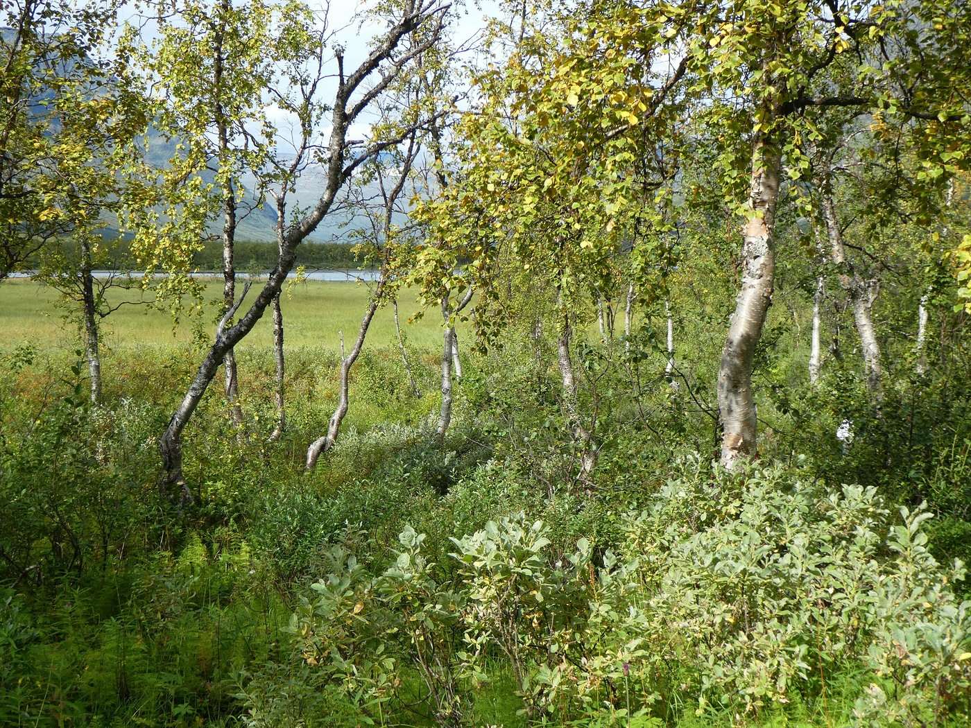
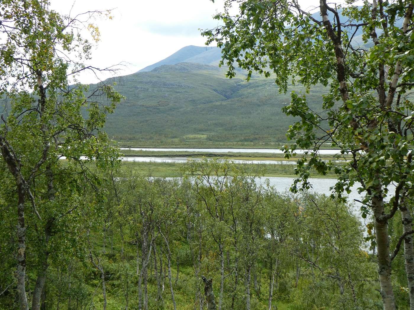
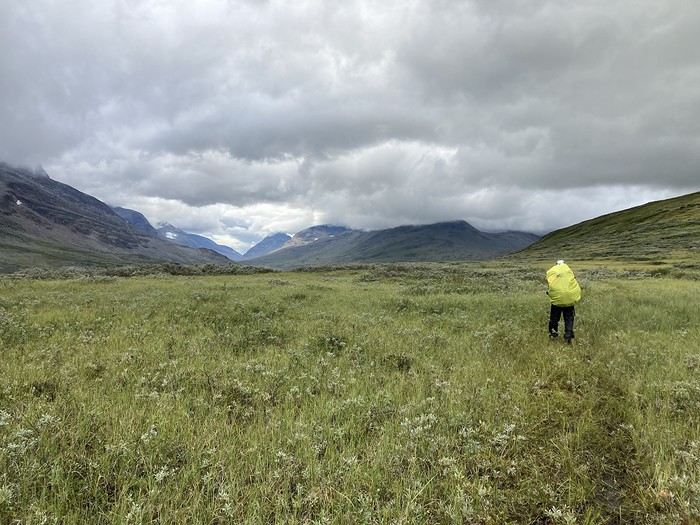
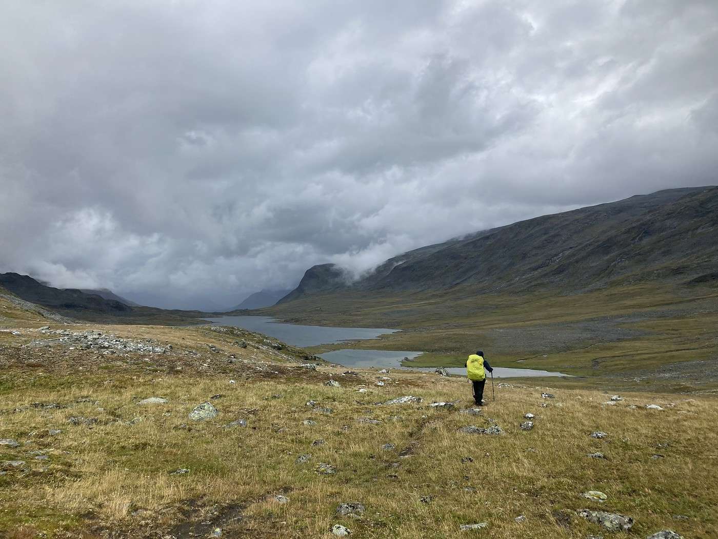
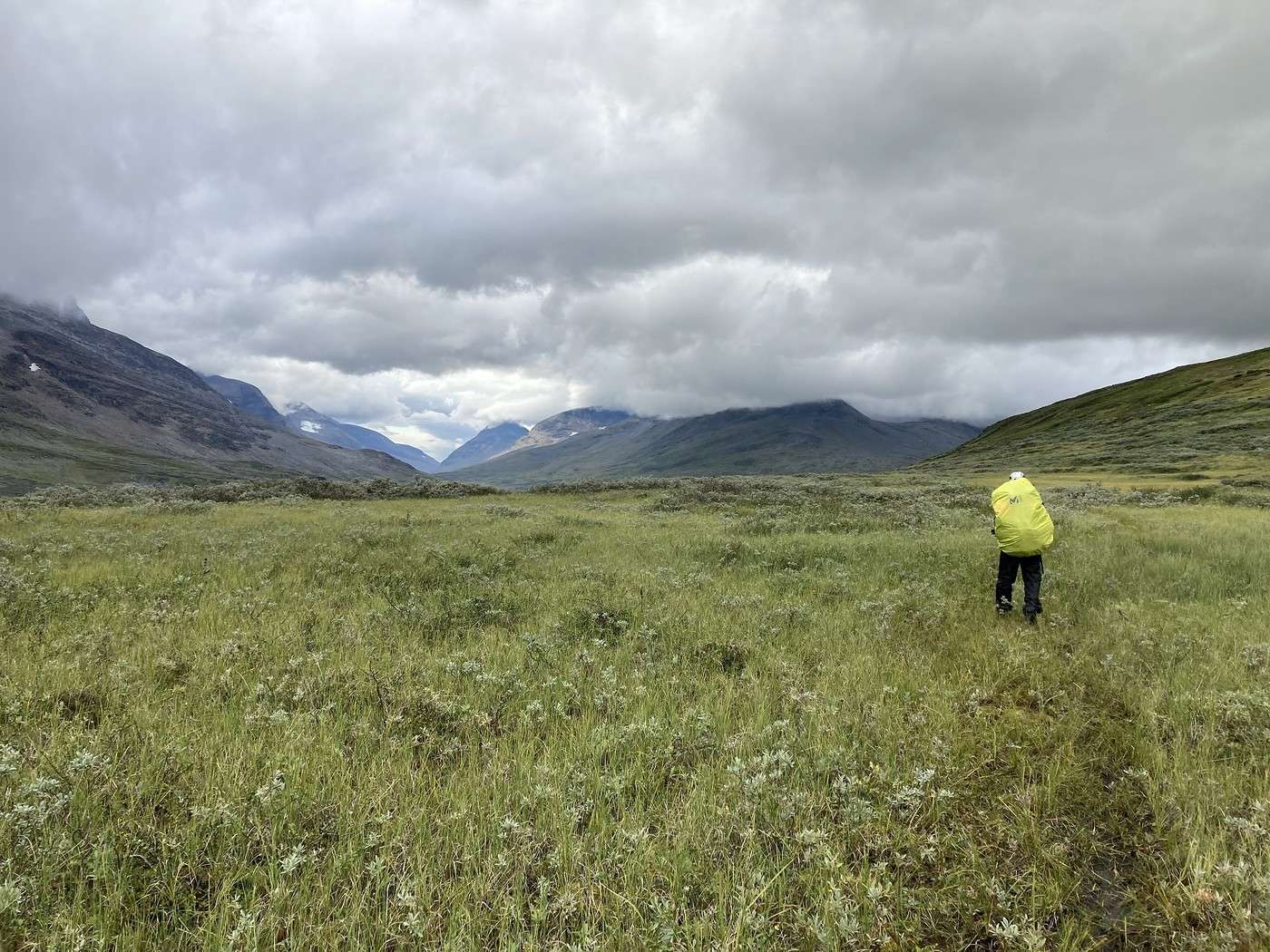
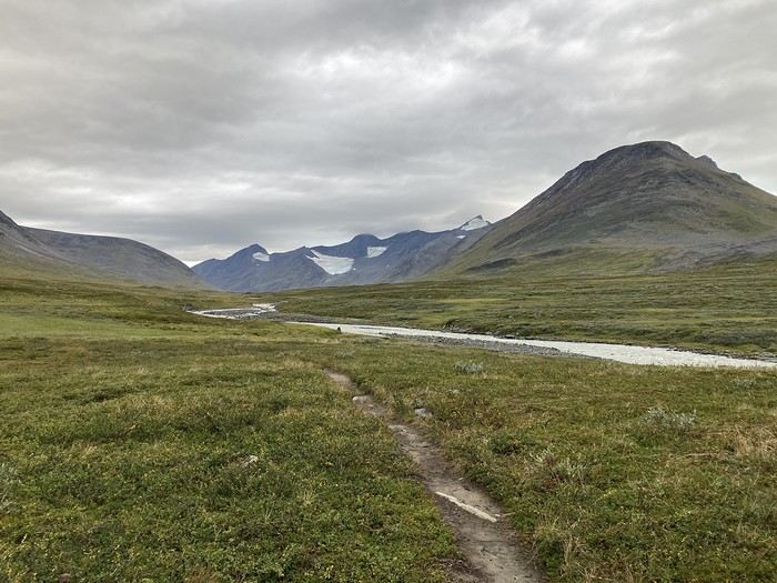
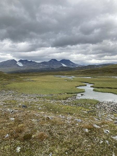
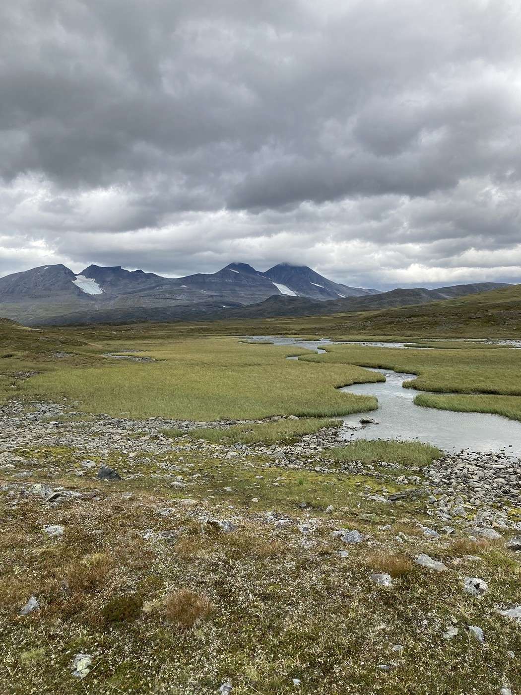
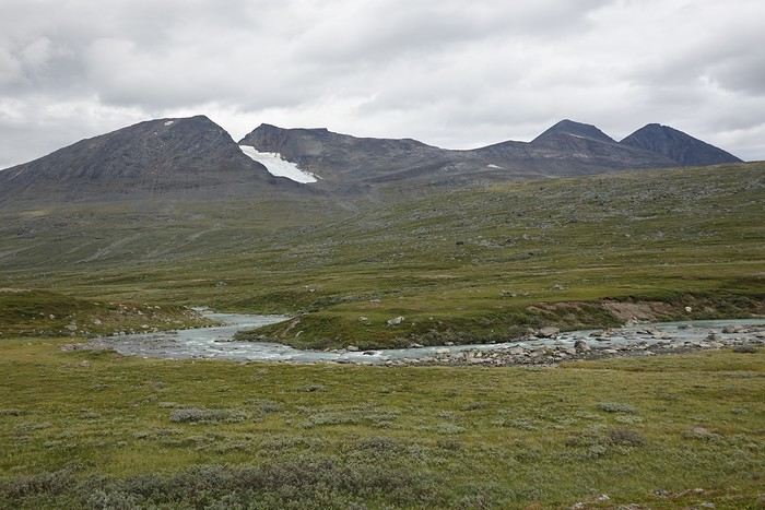
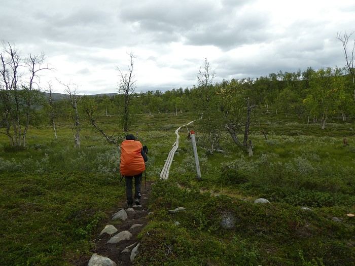
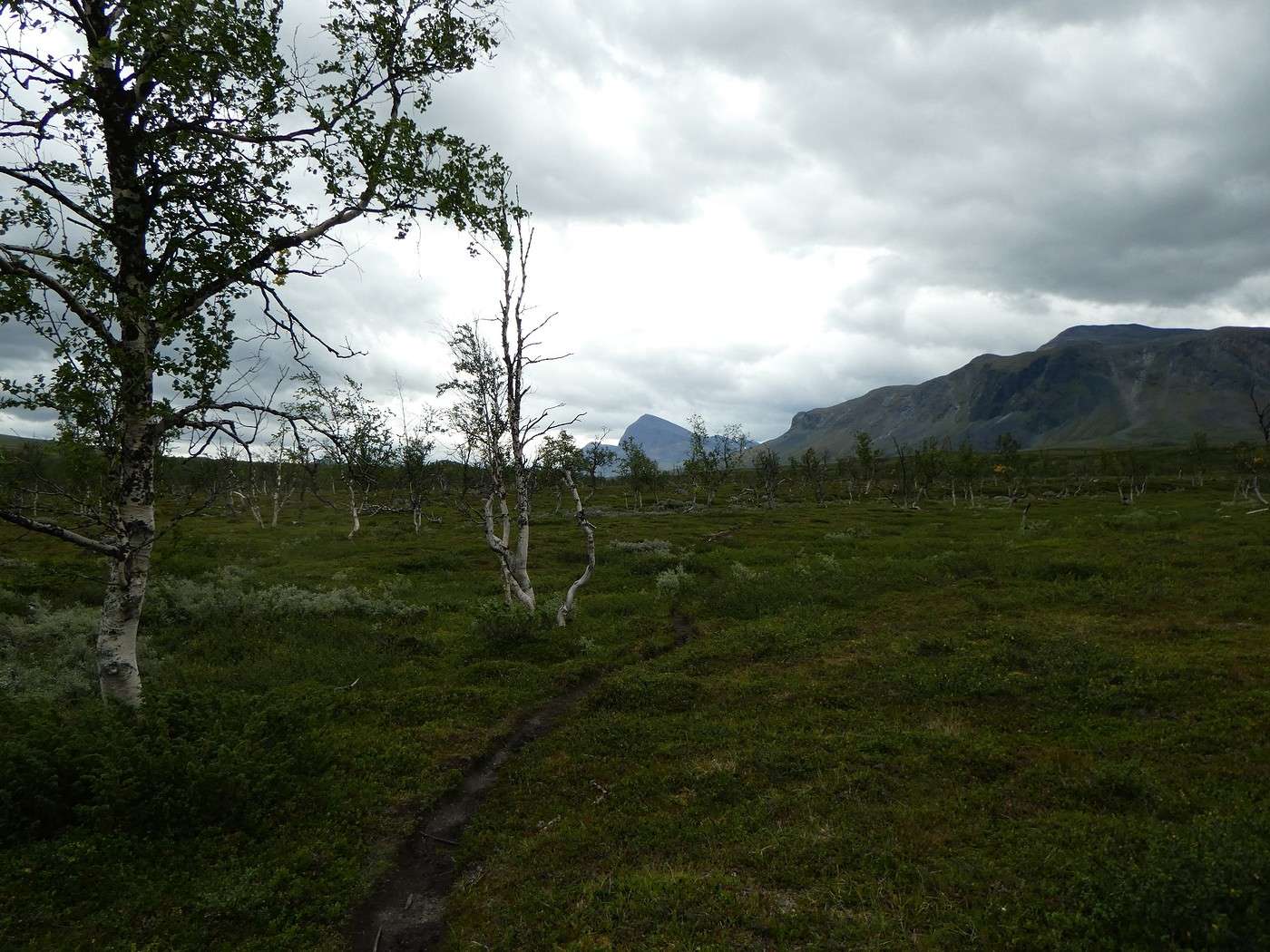
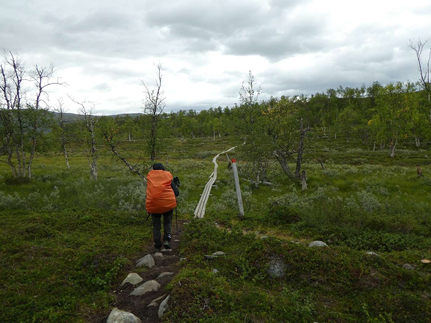
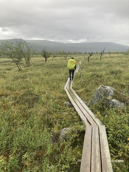
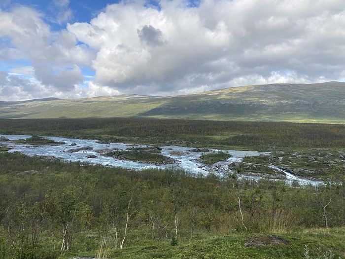
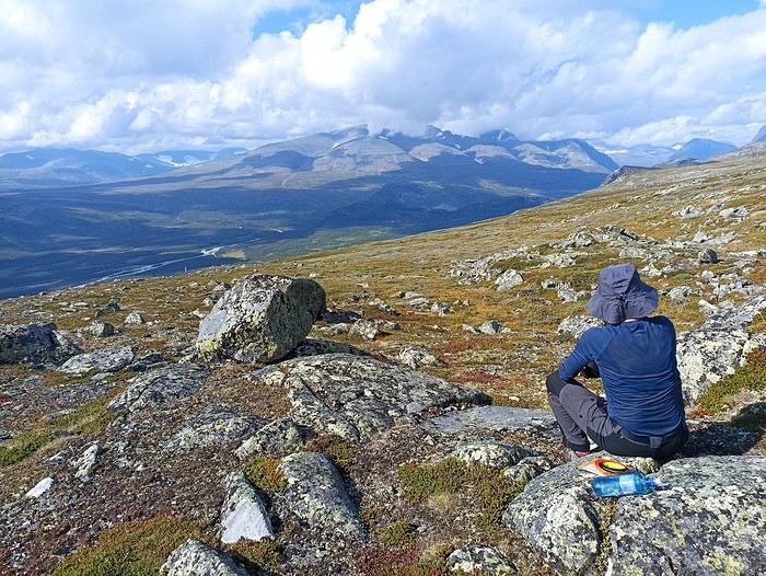
Fortunately, the rest of the hike was generally easier with softer terrain, as you can see during our midday break.
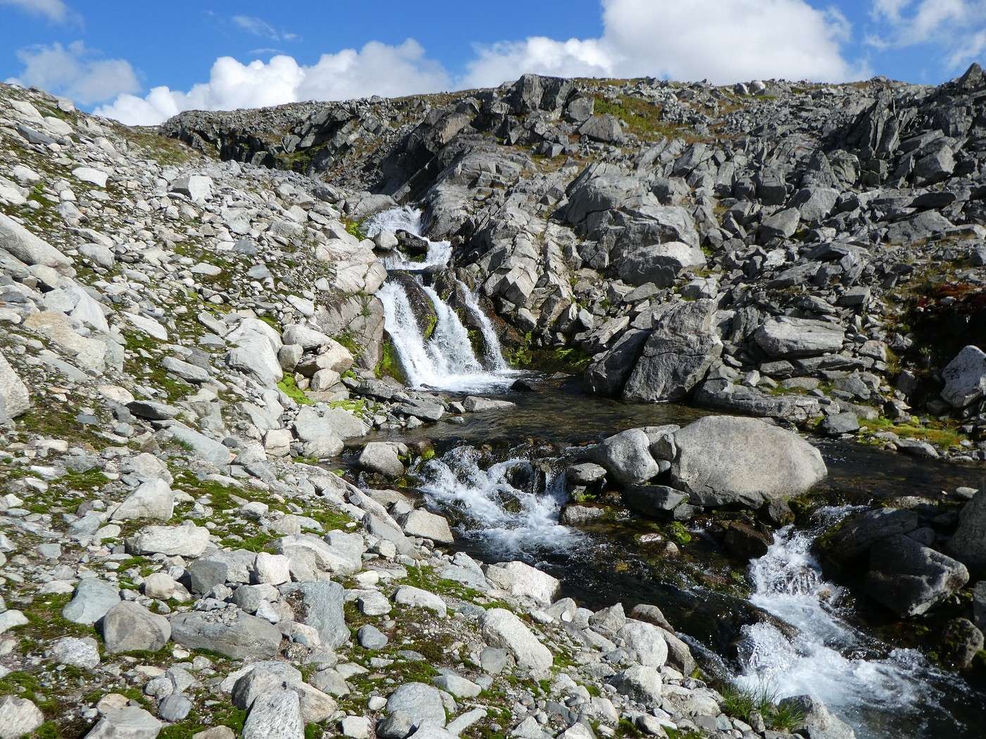
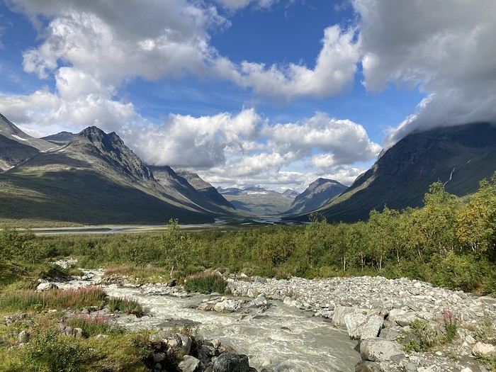
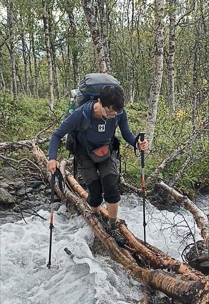
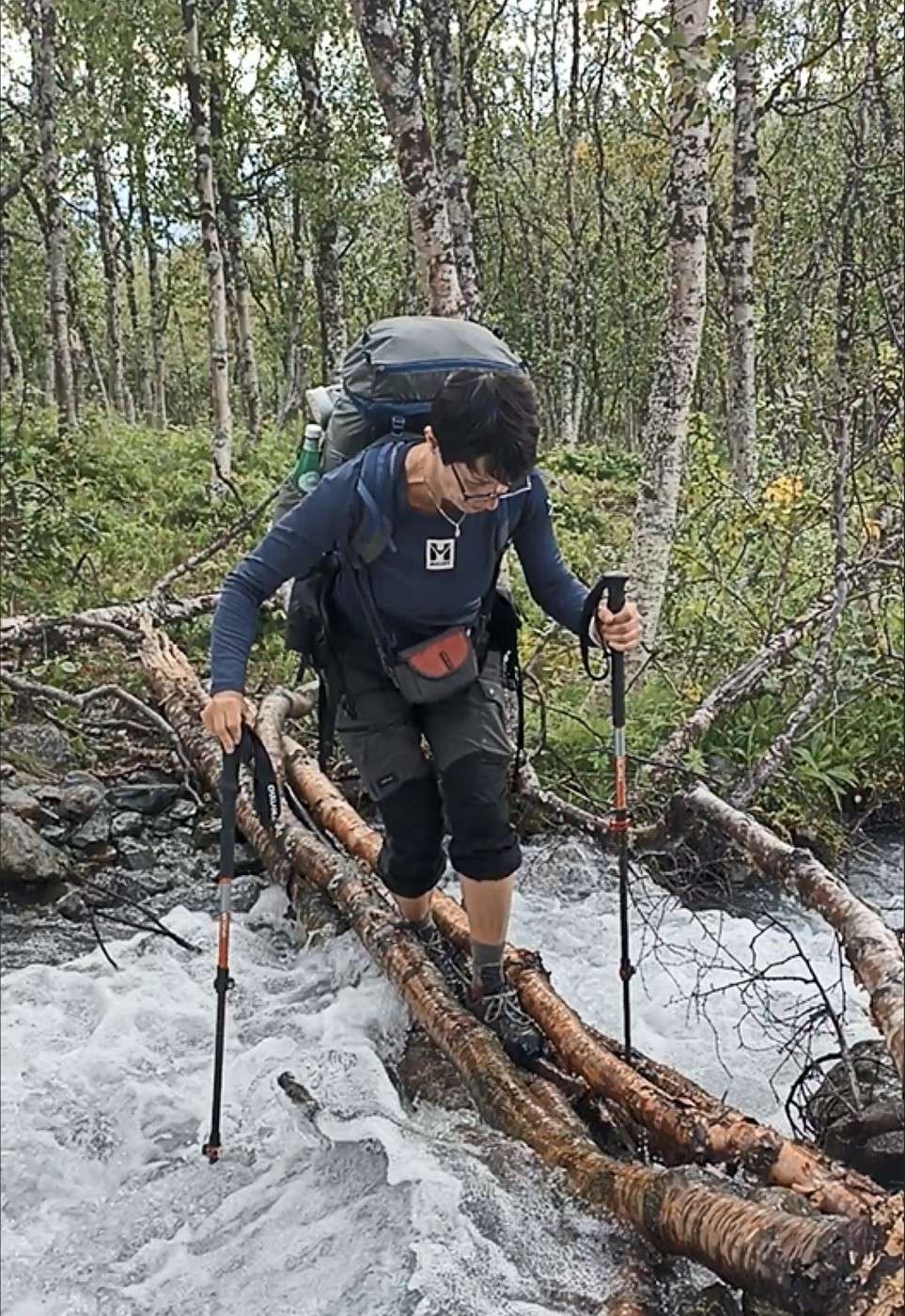
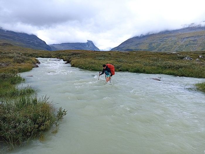
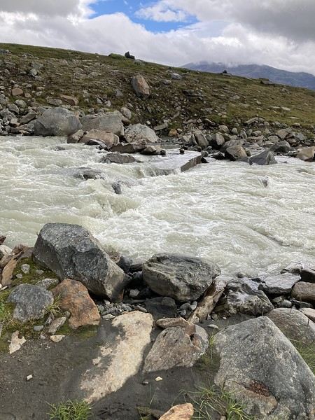
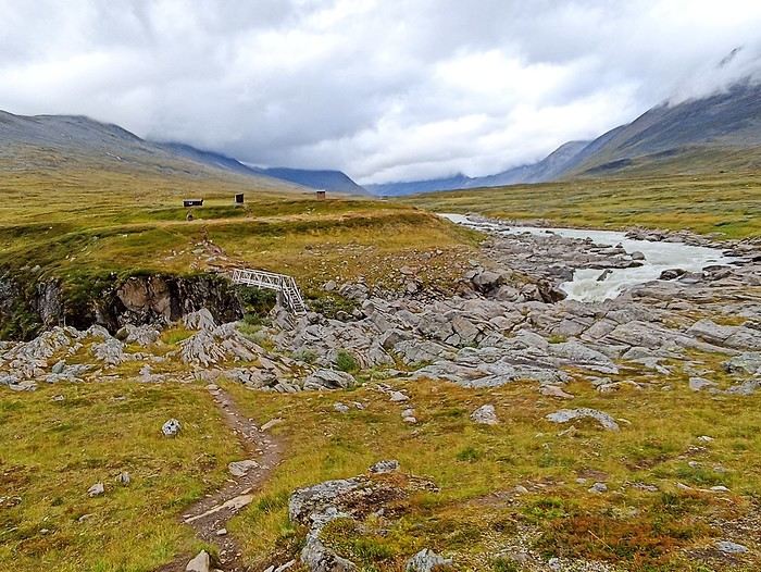
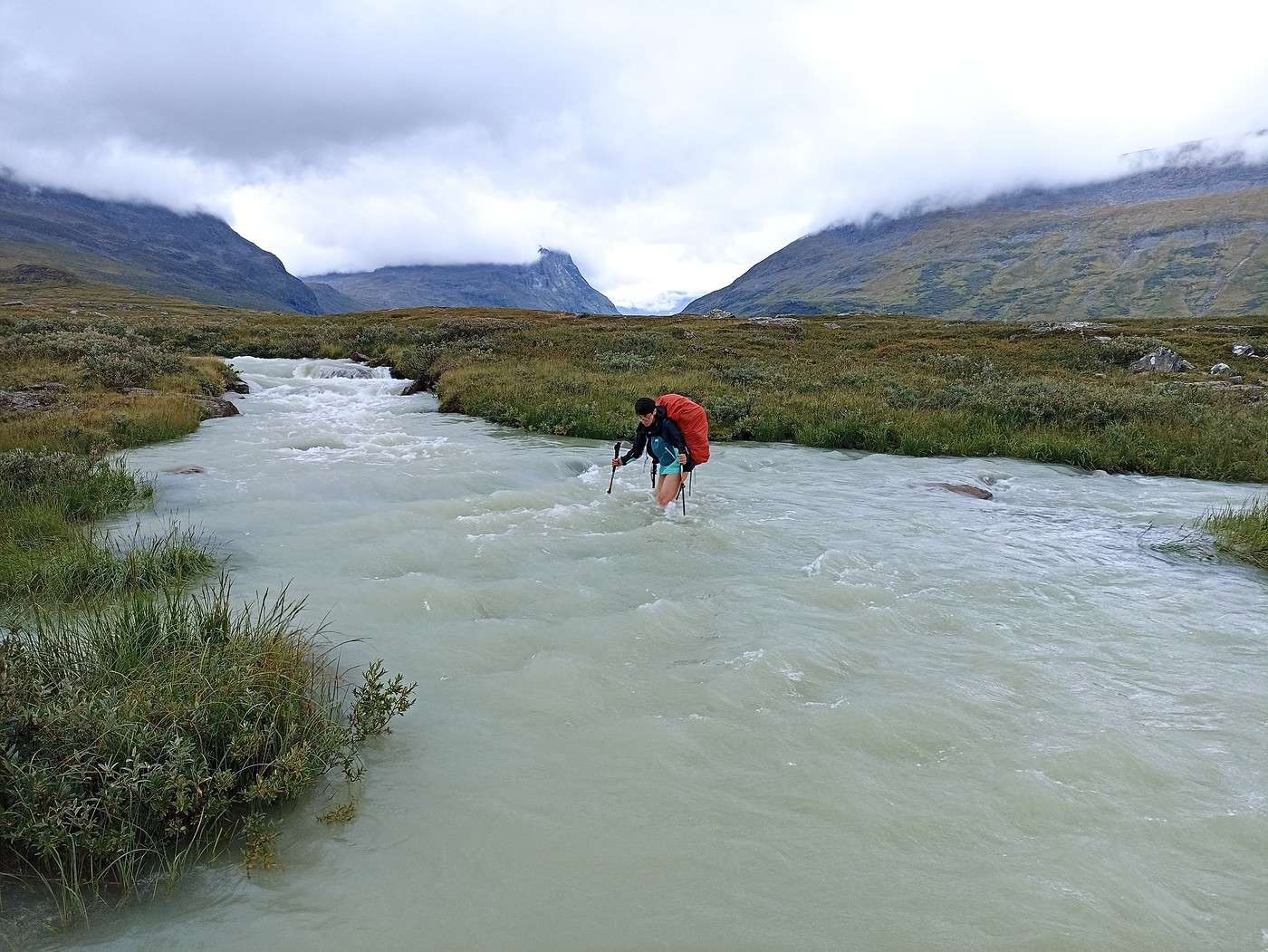
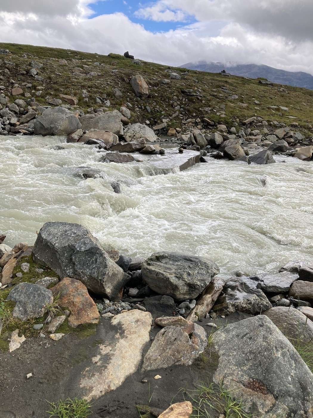
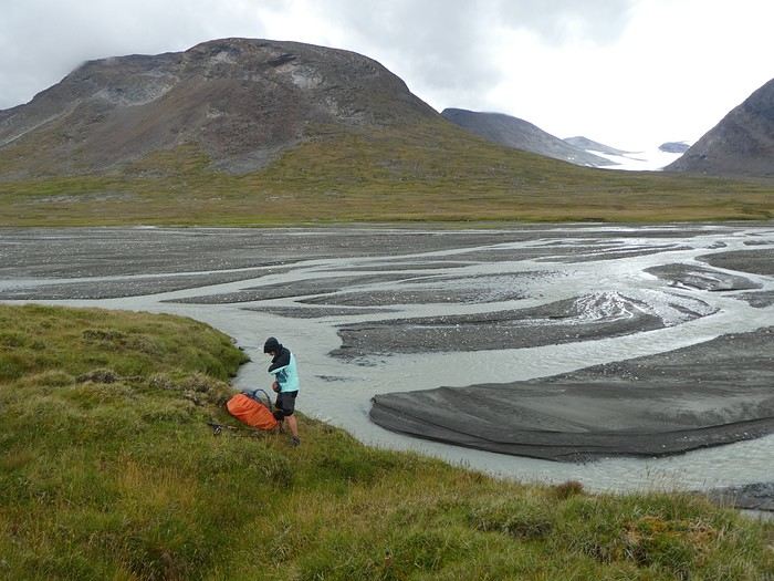
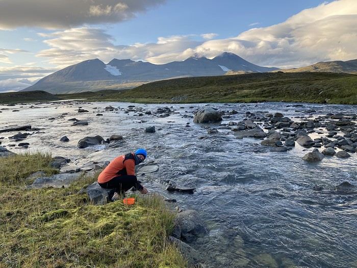
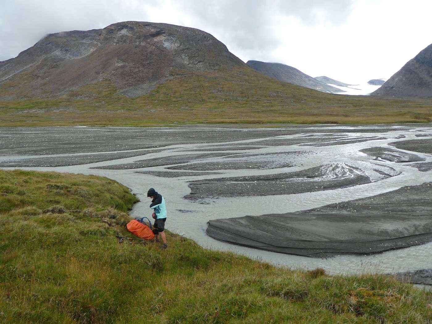
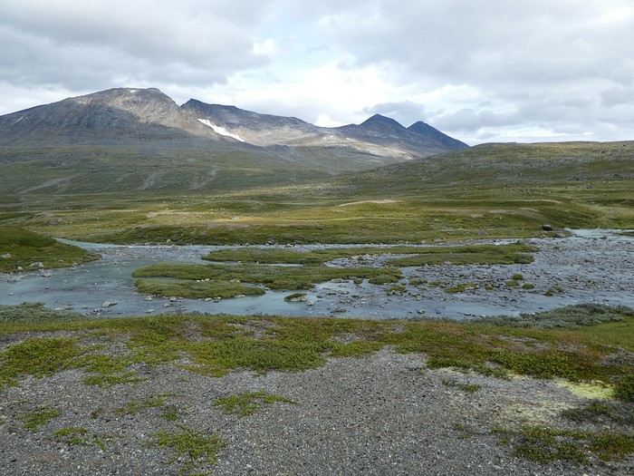
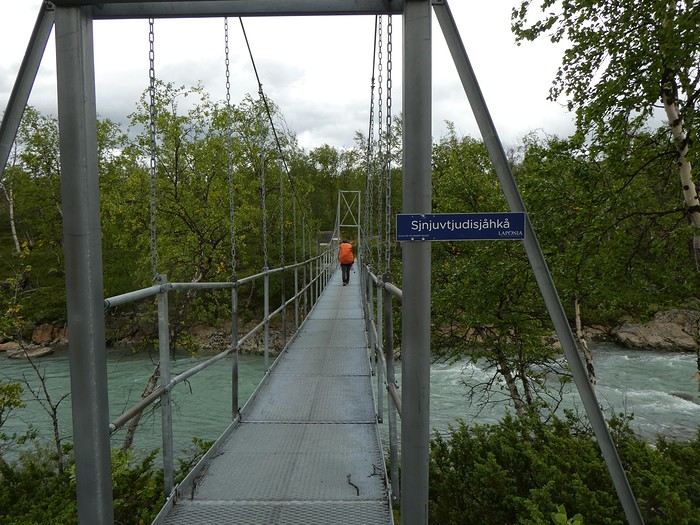
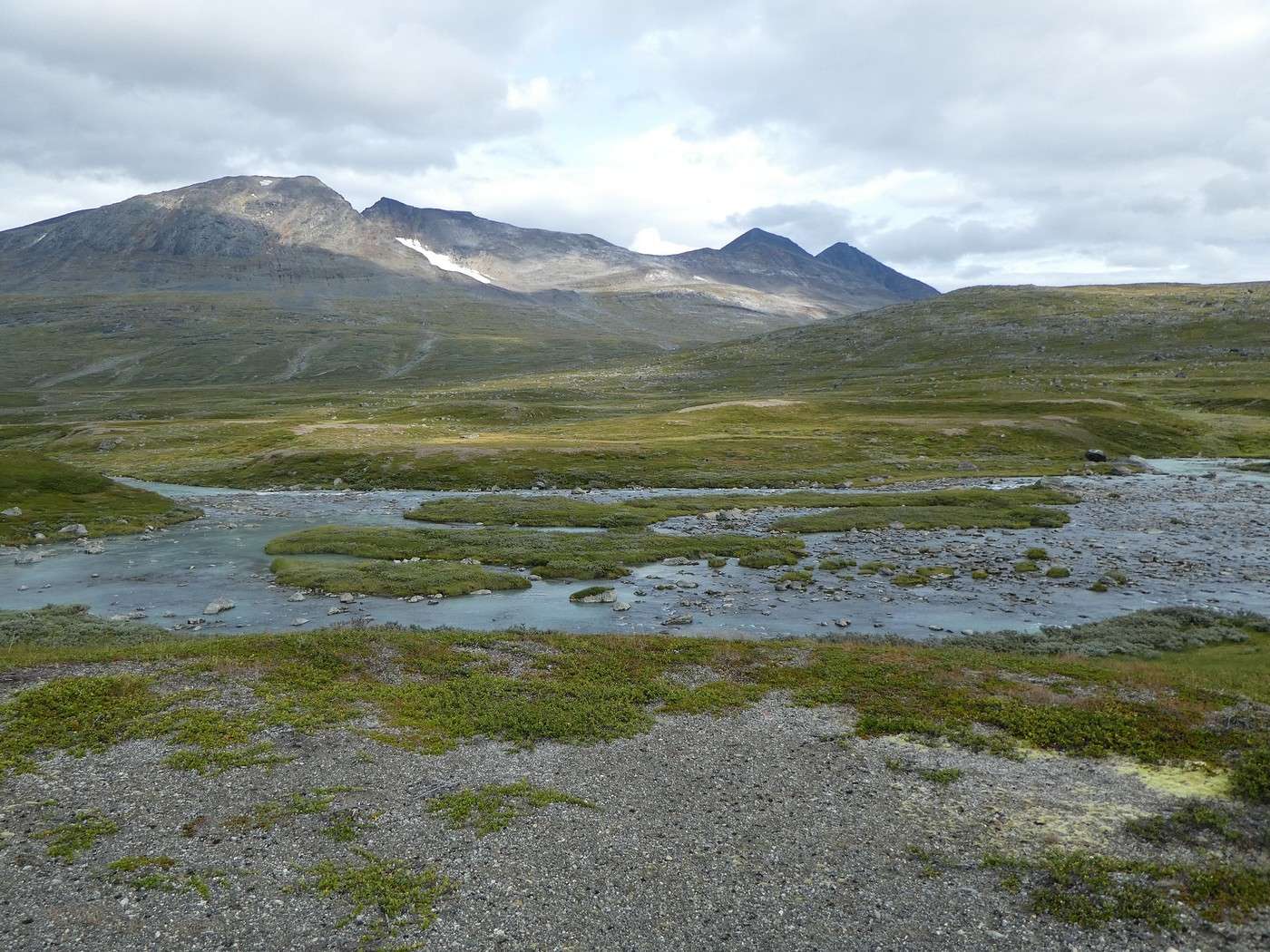
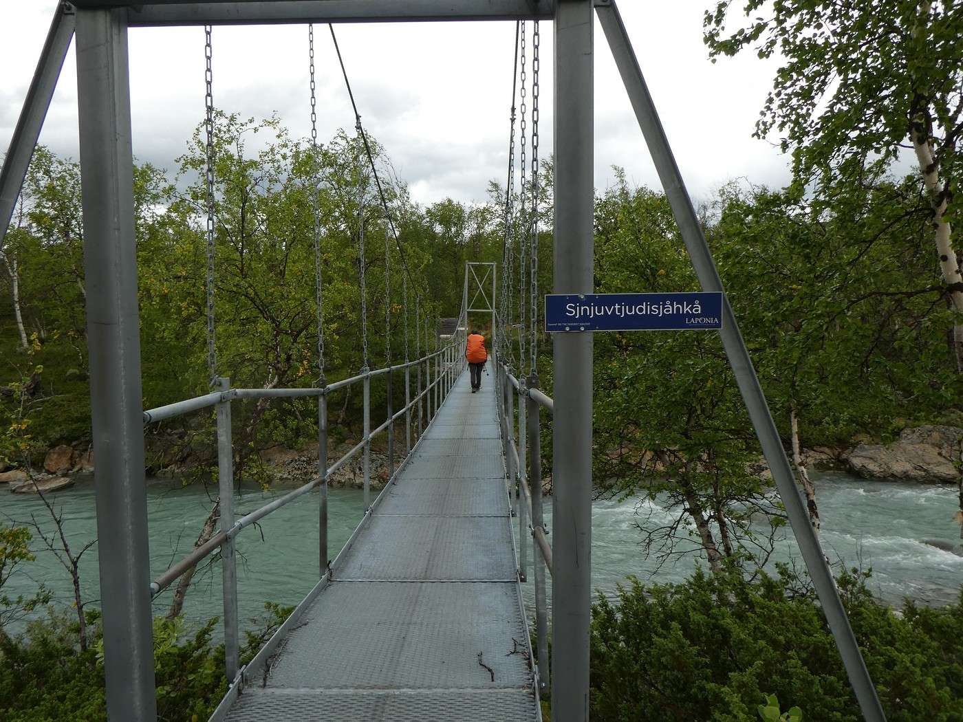
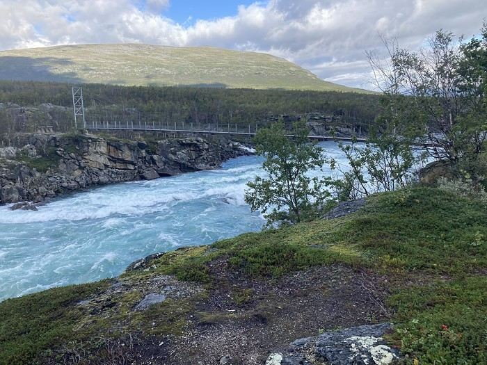
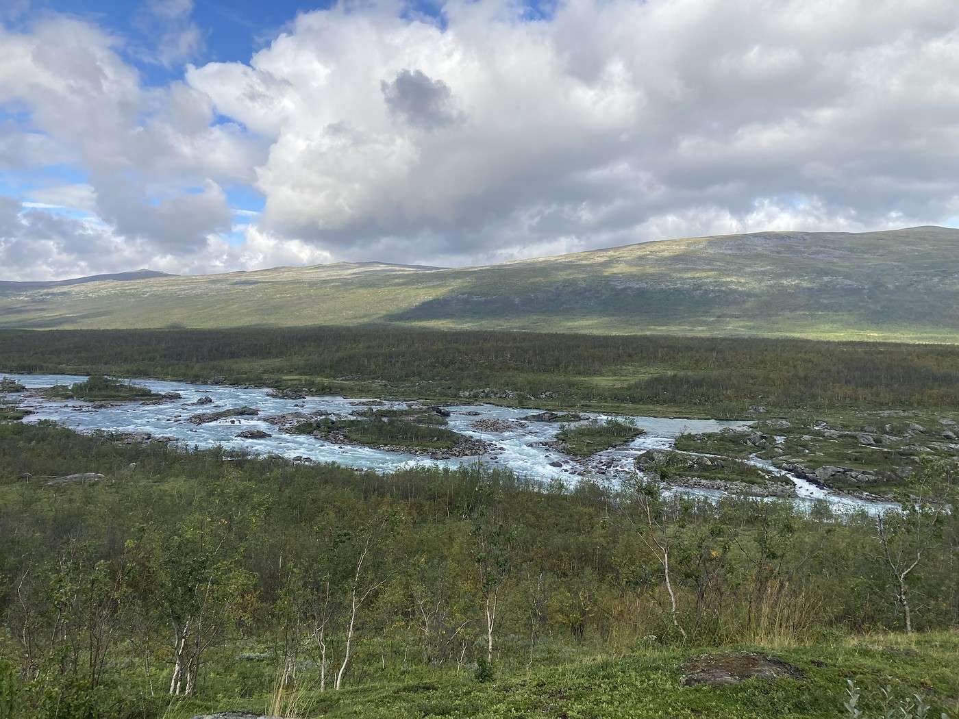
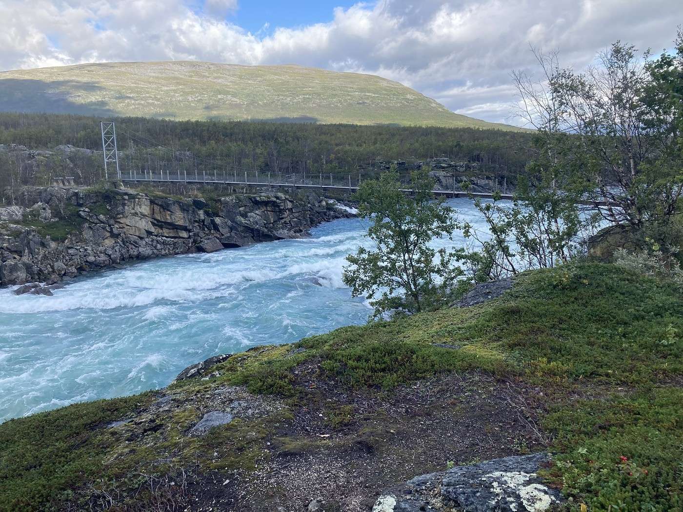
There were 3 river crossings—not too tricky, but one had a pretty steep descent to reach the water (I can’t remember which one). No more bridges now; time to put on the Crocs.
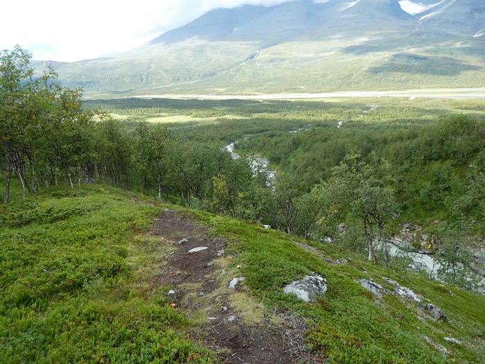
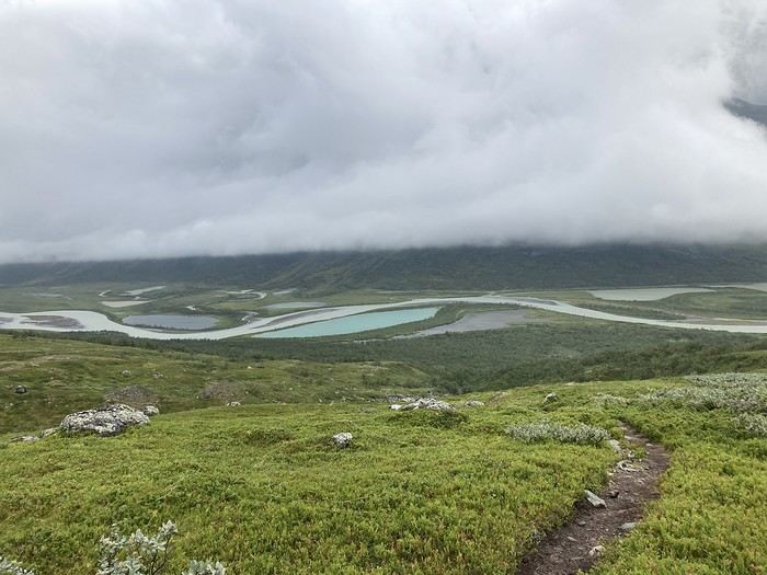
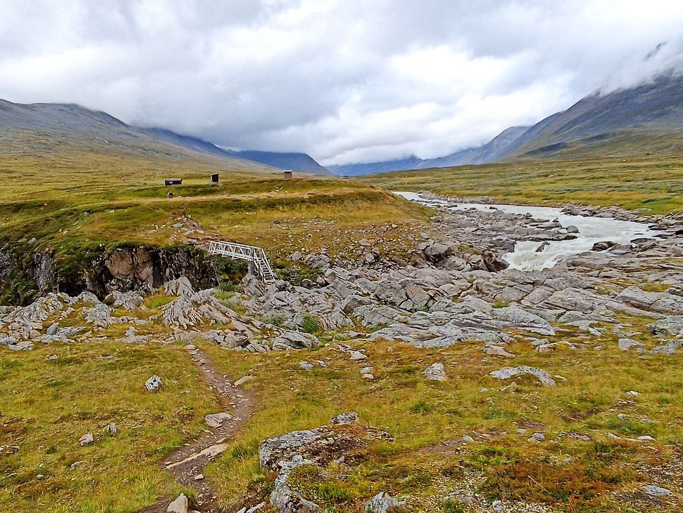
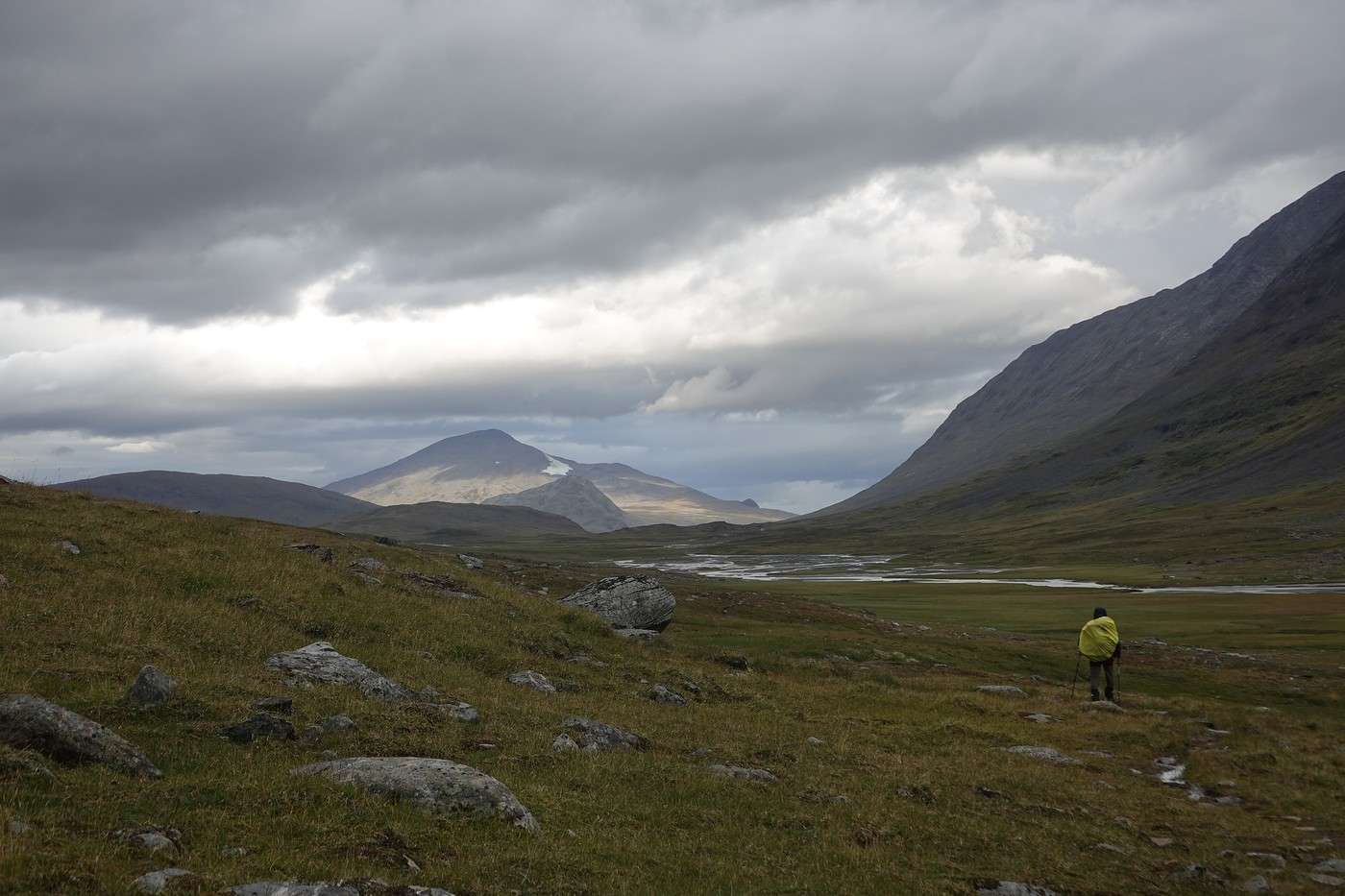
Below, Buovdajagasj.
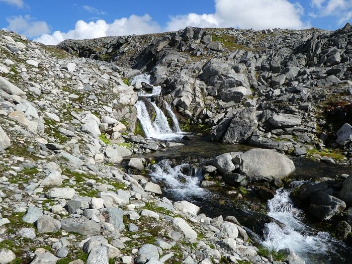
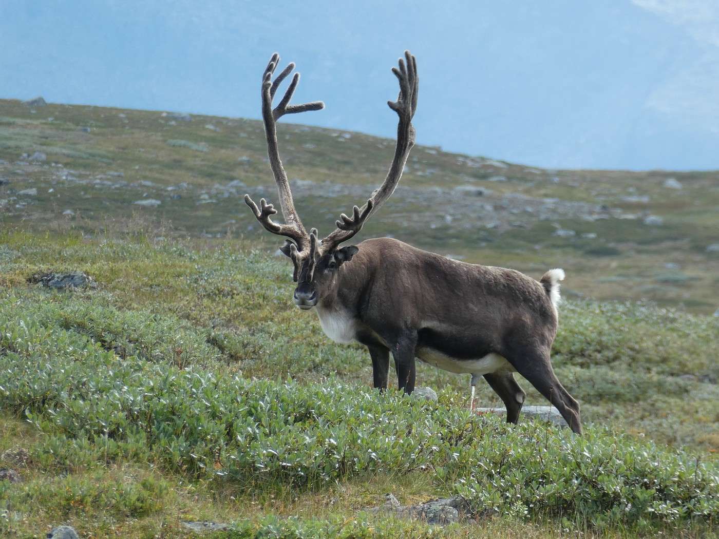
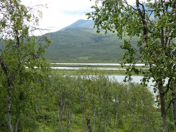
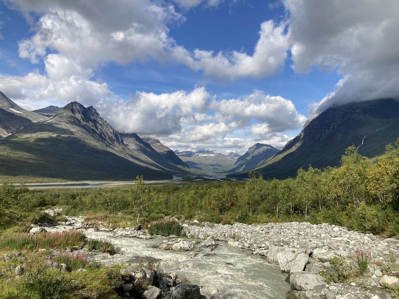
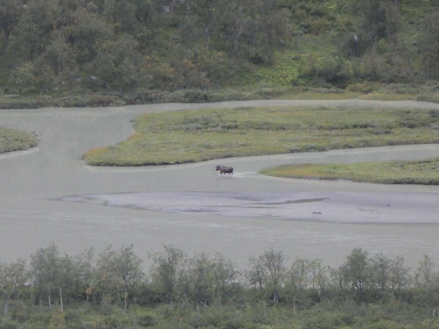
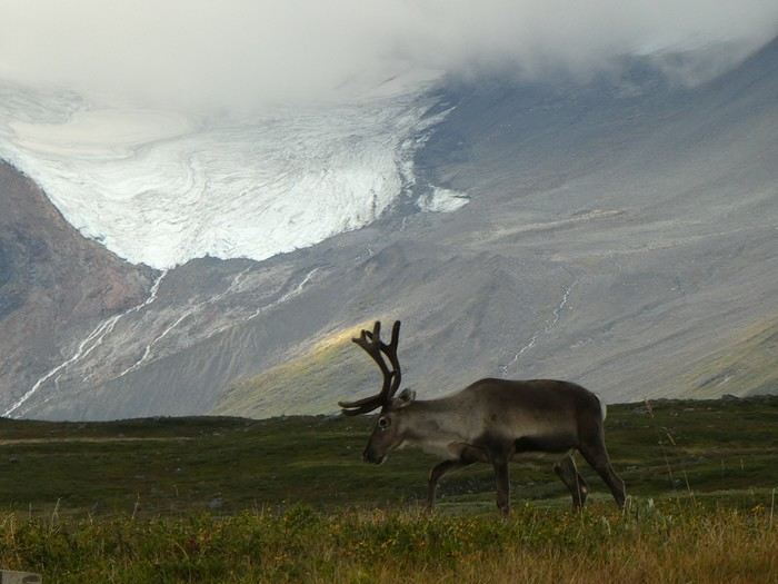
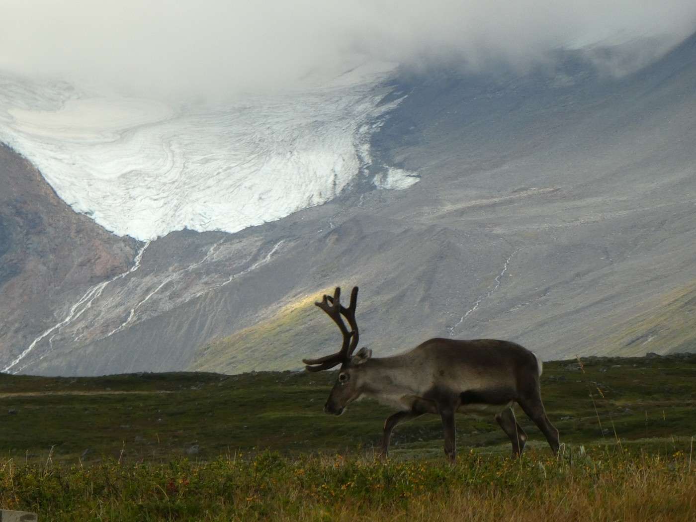
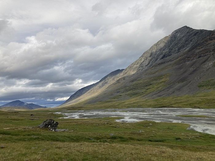
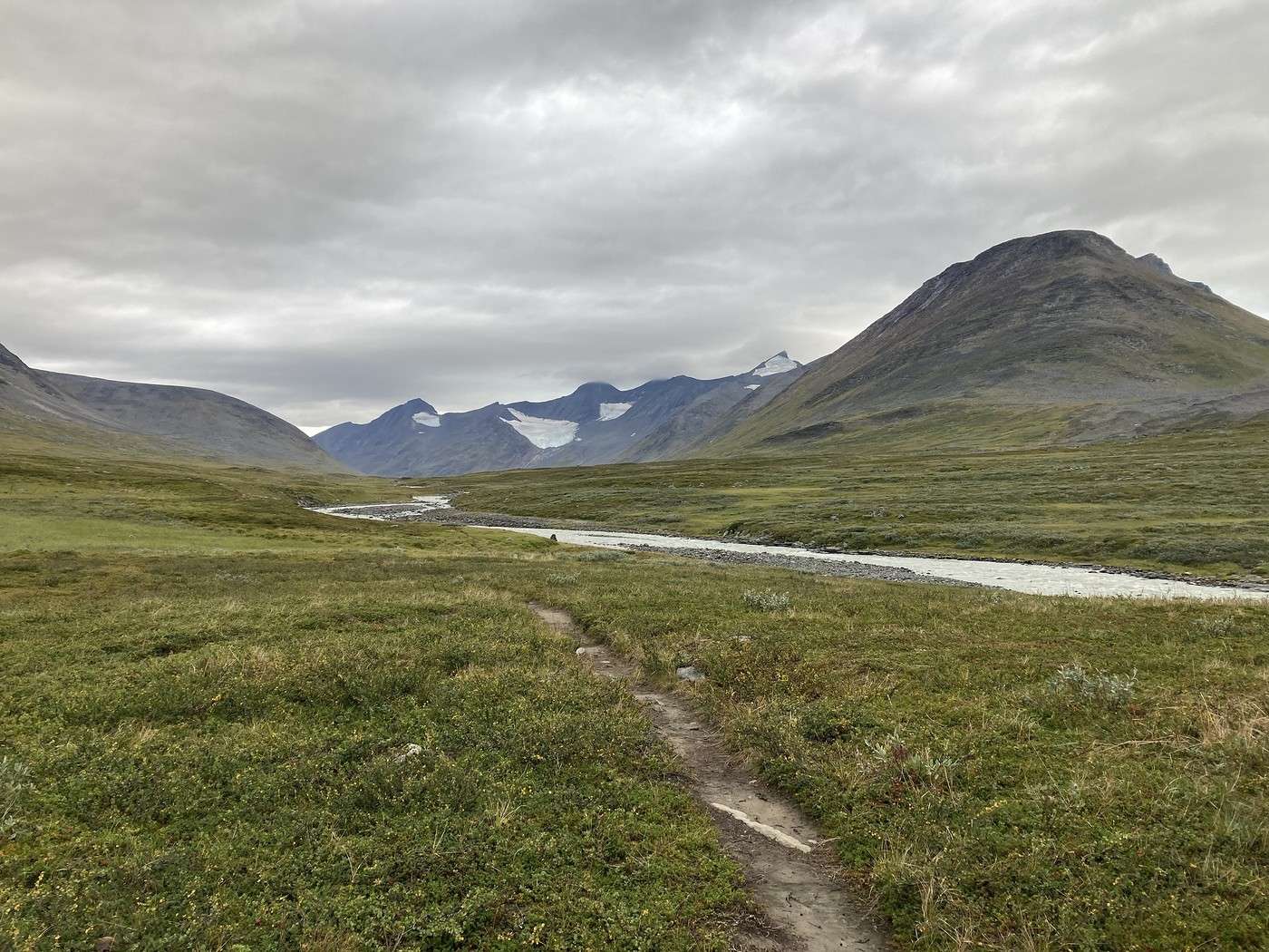
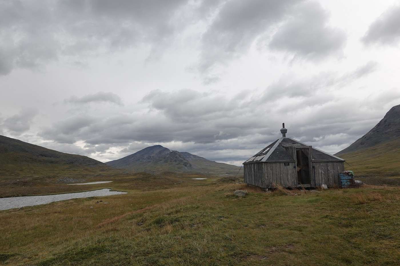
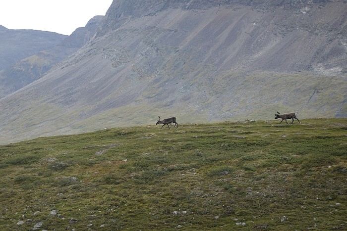
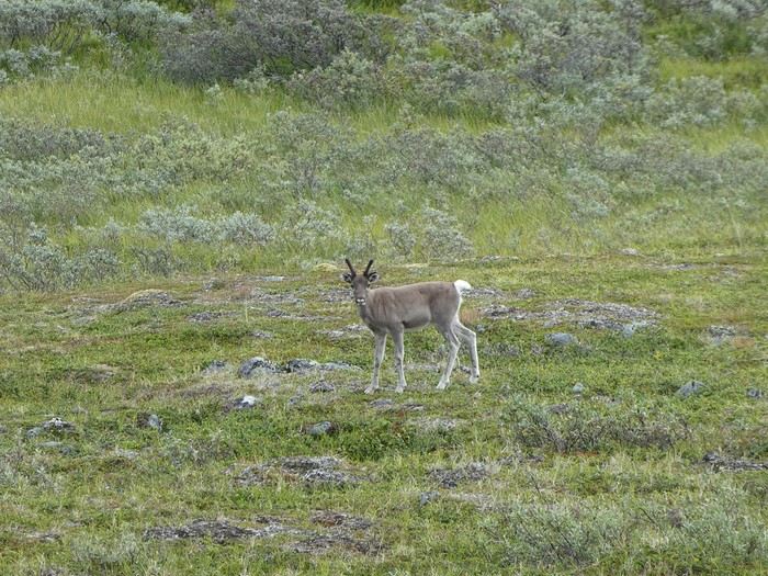
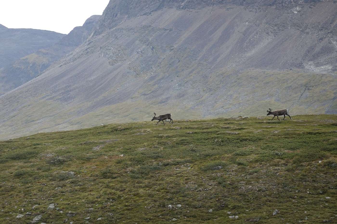
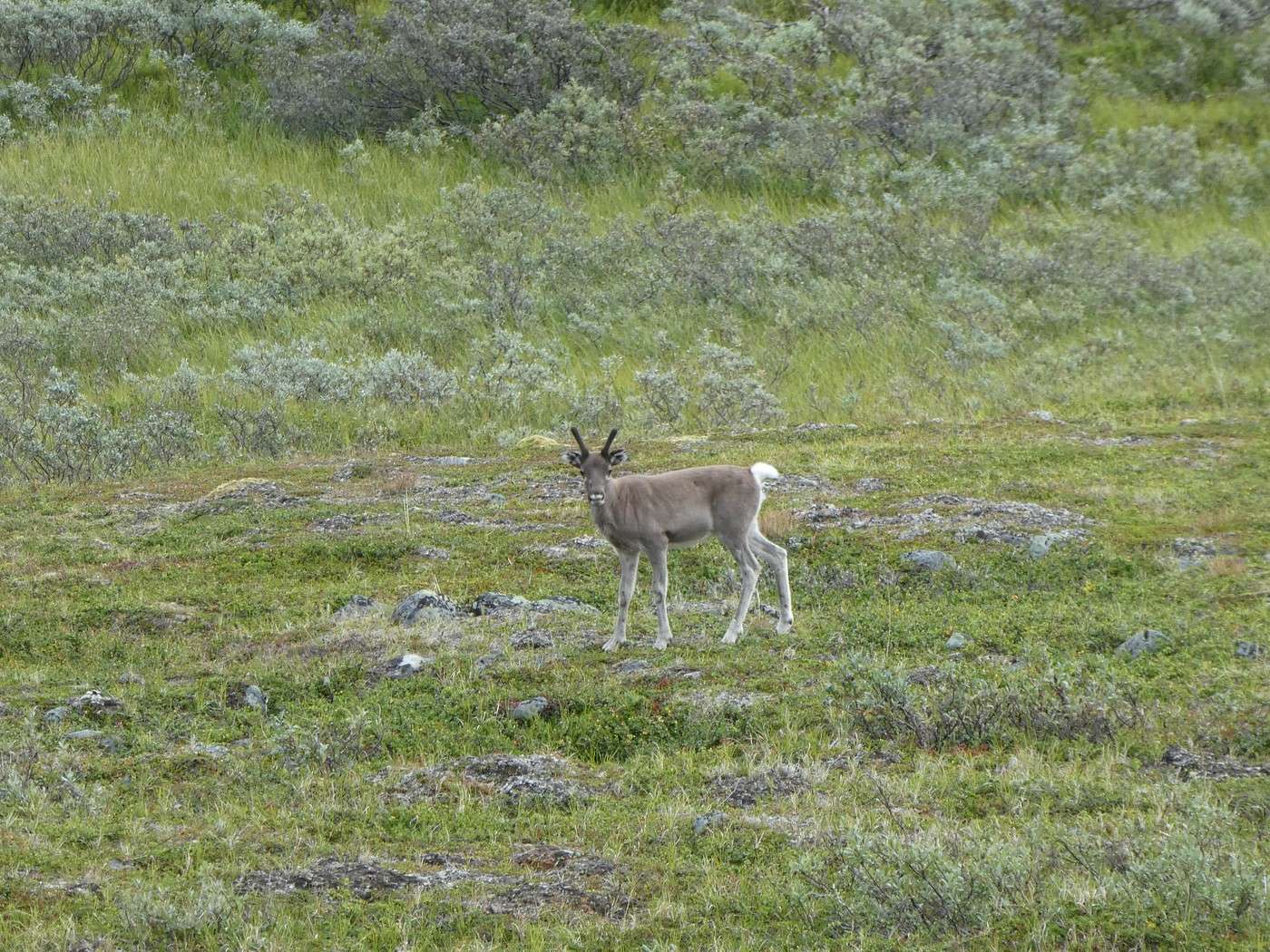
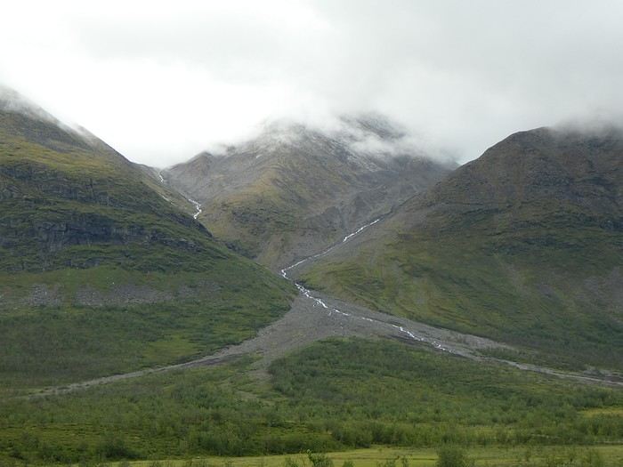
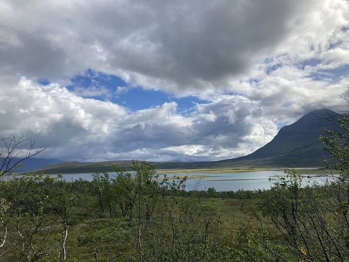
We also saw some not-so-shy reindeer and, as always, landscapes that take your breath away.
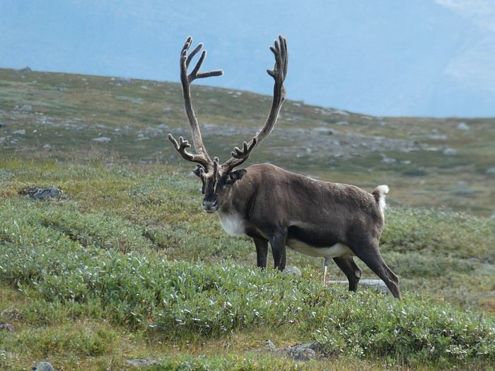
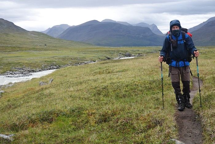
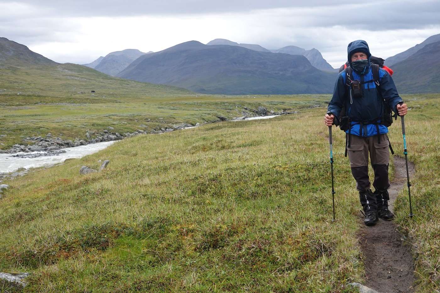
Here I am at 3 PM, completely wiped out!
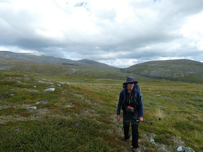
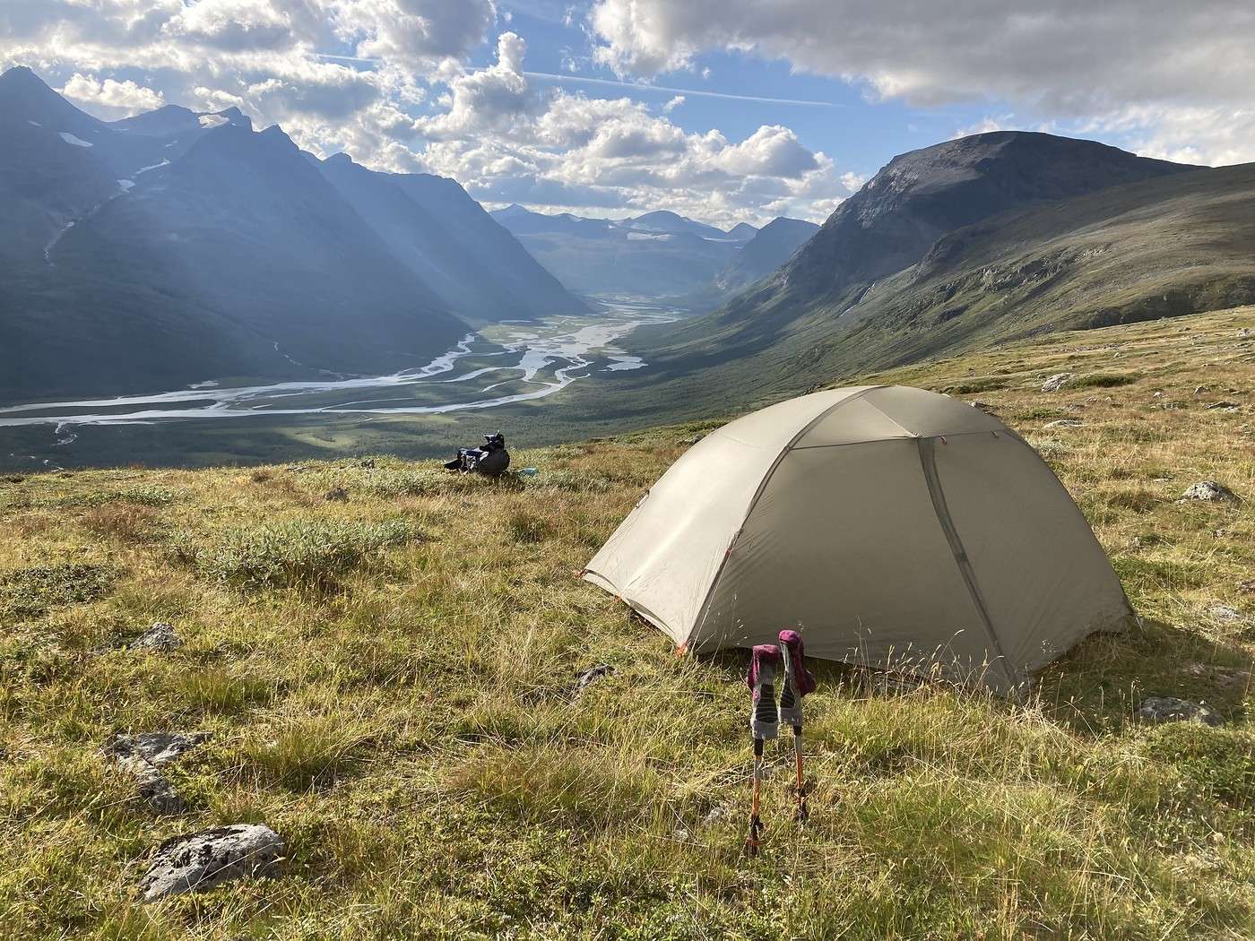
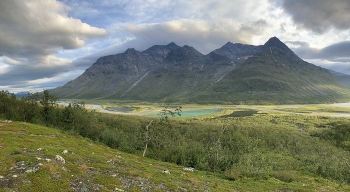
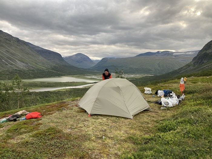
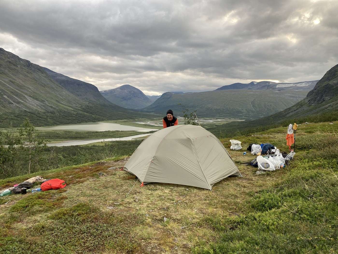
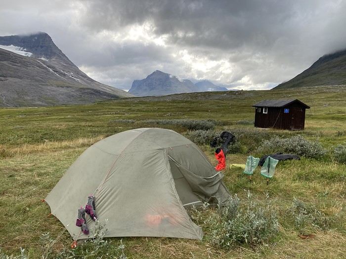
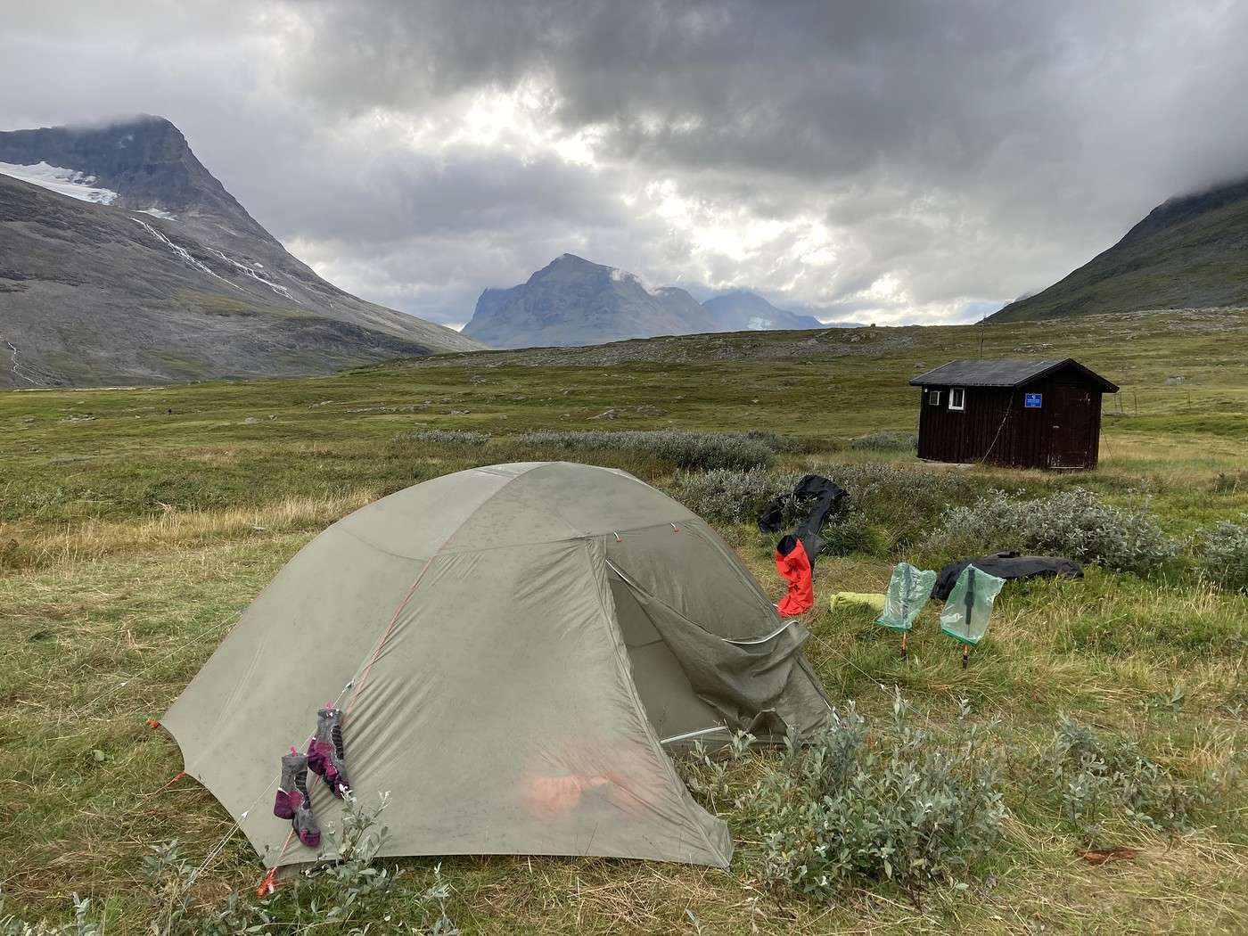
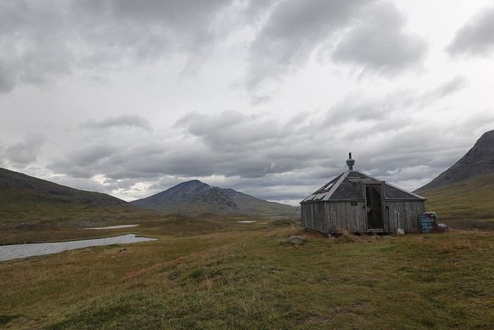
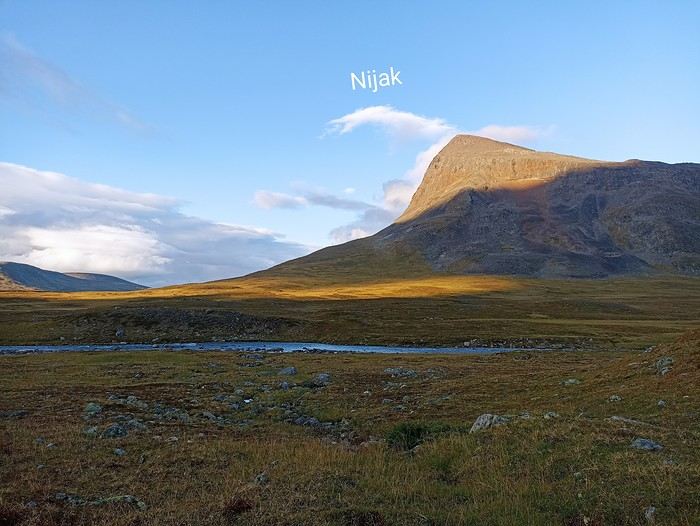
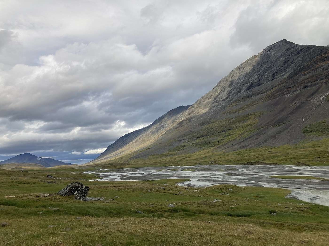
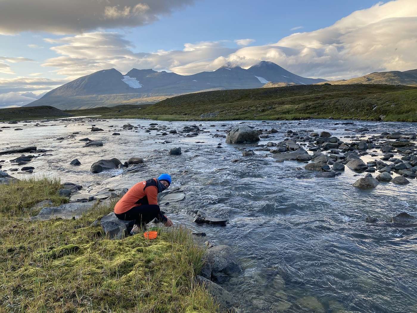
We were more than rewarded for this day by an incredible bivouac spot.
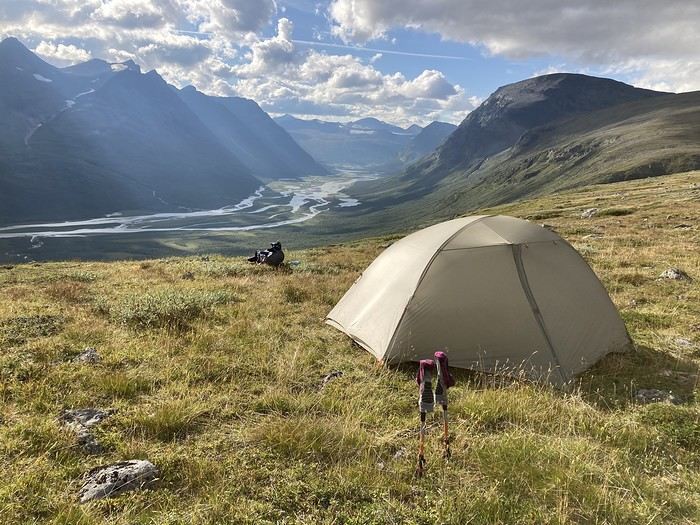
It’s still early, but I’m exhausted. This stage was really tough, so I’m going to take a quick nap in the tent—it’ll do me a world of good.
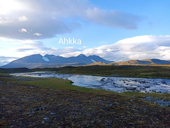
Then dinner in the sun with that view. Like every evening, it gets chilly as the day winds down.
We’ve got signal, and the weather should hold tomorrow. After that, rain’s coming back the day after, and a downpour the following day (yikes…).
Summary: 14.4 km – 485 m elevation gain
Before starting our ascent along the mountainside while staying high up (as the Swede at breakfast in Saltoluokta advised us), we had to cross a depression. This depression turned out to be quite a hassle with quite a few wet areas.
Next, we had to climb back up and walk along the southern slope of Gierdogiesjtjahkka. And there, it was pure scree—progress was slow and tough. Still, there were a few cairns here and there that made navigation easier. Luckily, the view was breathtaking.
Fortunately, the rest of the hike was generally easier with softer terrain, as you can see during our midday break.
There were 3 river crossings—not too tricky, but one had a pretty steep descent to reach the water (I can’t remember which one). No more bridges now; time to put on the Crocs.
Below, Buovdajagasj.
We also saw some not-so-shy reindeer and, as always, landscapes that take your breath away.
Here I am at 3 PM, completely wiped out!
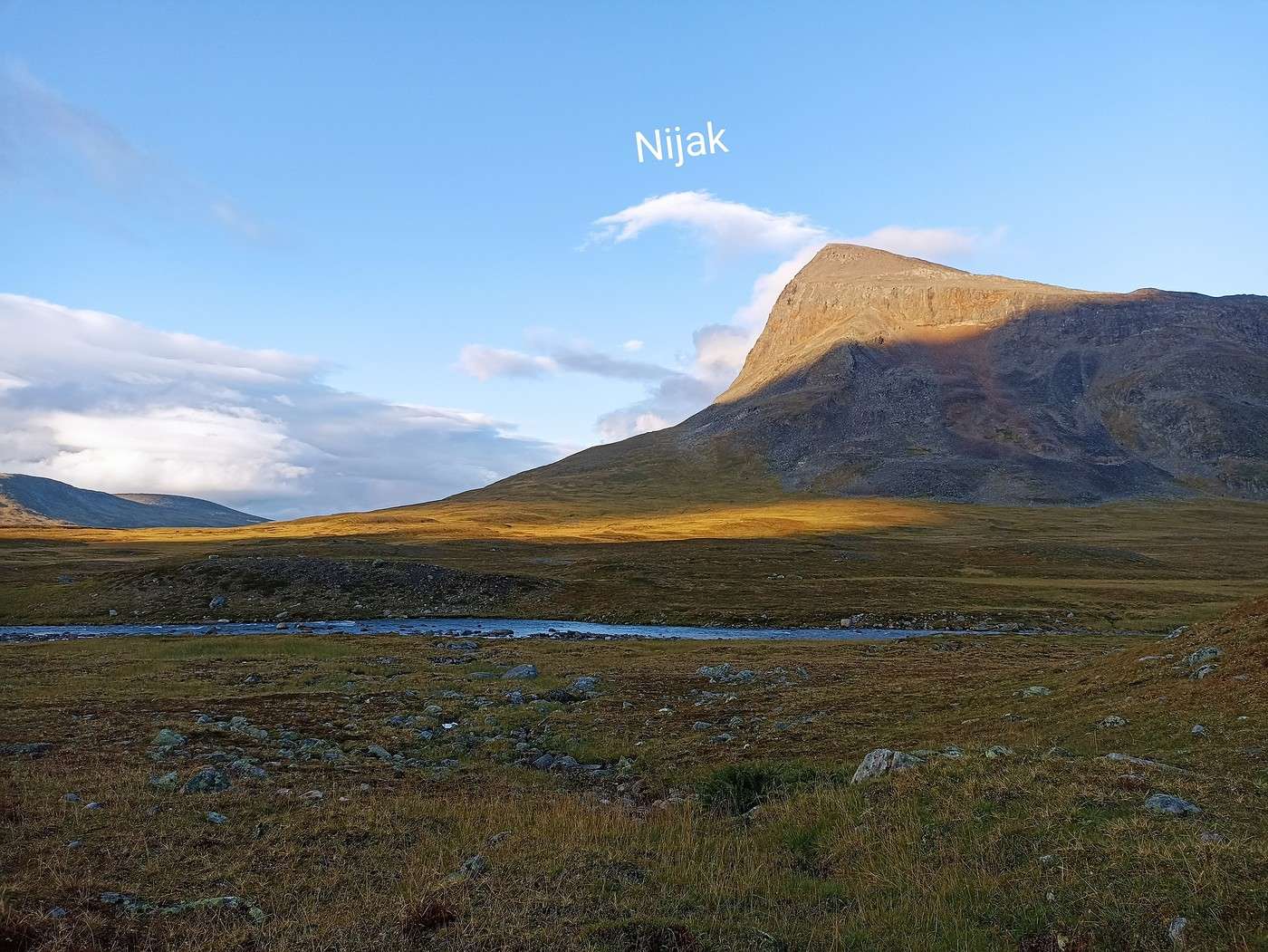
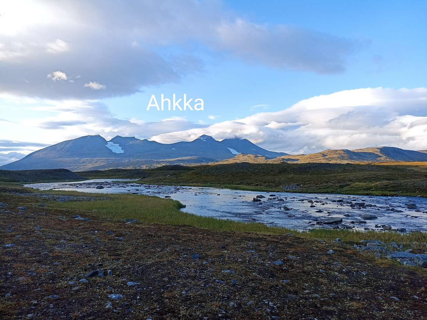
We were more than rewarded for this day by an incredible bivouac spot.
It’s still early, but I’m exhausted. This stage was really tough, so I’m going to take a quick nap in the tent—it’ll do me a world of good.
Then dinner in the sun with that view. Like every evening, it gets chilly as the day winds down.
We’ve got signal, and the weather should hold tomorrow. After that, rain’s coming back the day after, and a downpour the following day (yikes…).
Summary: 14.4 km – 485 m elevation gain