Back to the discussion

in Entre deux voyages › Carnets de voyage

Back to Swedish Lapland: Trekking the Kungsleden and Crossing Sarek

Discussion started by Calisson94 on 2026-06-12

29 replies

This thread has been translated into English.


Back to Swedish Lapland: Trekking the Kungsleden and Crossing Sarek

Calisson94 · 2026-06-12

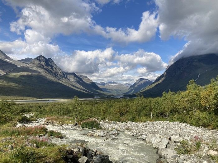
Summer 2022 left me with a sense of unfinished business, so here I am back in Swedish Lapland for summer 2024, ready to attempt the Sarek crossing again—and this time, tackle part of the Kungsleden too.

After much hesitation, my partner Jean Marie and I decided to start with the Kungsleden, which is, from what we’ve read, stunning but very busy (and it really is!!), and finish with the wilder option: SAREK! This park is known as Europe’s last true wilderness—sounds like a dream, right?! The downside of this plan is that there’s no way to resupply in Sarek, and the Kungsleden isn’t exactly set up for long-distance trekking either, so we’ll have to carry a lot of food for the first part of the trip with Sarek in mind. Oh well, we’re motivated!

Our plan is to start in Abisko (the classic route), head to Vakkotavare (also classic, but with some variations to avoid the official trail and the crowds), then continue the Kungsleden from Saltoluokta. Before reaching Aktse, we’ll set off on an east-to-west crossing of Sarek (weather-dependent, since aside from the Skarja hut in the center of the park, there’s no shelter if conditions turn bad). At least we’ll be on the right side of the park to climb Skierfe and enjoy the jaw-dropping view of Rappaladen if we have to bail on Sarek.

All in all, that’s 17 days of trekking, including 1 rest day and 1 buffer day for weather delays.

So if you’re interested, I invite you to follow our fully packed backpacks!

08/03 - Abisko – 5km before Abiskojaure Some info (guides we used for prep, SFT map, sending food to Saltoluokta) 08/04 – 5km before Abiskojaure - on the east shore of Lake Alisjavri 08/05 – East shore of Lake Alisjavri – just before Tjaktja 08/06 – Just before Tjaktja – above the Salka hut via Nallo 08/07 - Salka – just past Singi + side trip to Djalson Lake 08/08 - Singi – Teusajaure 08/09 - Teusajaure - Vakkotavare (end of the first section of the Kungsleden) 08/10 – rest day in Saltoluokta + round trip to the Sámi village of Pietjaure 08/11 – Saltoluokta – Sitojaure 08/12 - Sitojaure - Skierfe - Sarek or no Sarek? 08/13 – Skierfe – somewhere above Rapadalen 08/14 – Somewhere above Rapadalen – above the Skarki hut 08/15 – Above the Skarki hut - Skarja 08/16 – Camping at Skarja 08/17 – Ruohtesvagge 08/18 – Ruohtesvagge - Padjelantaleden 08/19 – Padjelantaleden - Ritsem – End of the trek 08/20–24 - End of the trip (Lullea - Stockholm) And of course, the recap
Back to Swedish Lapland: Trek on the Kungsleden and Crossing Sarek

Sinforosa · 2026-06-12

So if you're interested, I suggest following our fully packed backpacks.

Yes, I'm interested because with the heatwaves, we need to find cooler and more bearable summer destinations!

Return to Swedish Lapland: Trek on the Kungsleden and crossing Sarek

Calisson94 · 2026-06-13

Welcome Marie, Oh, it’s clear you’re in the right place if you’re looking for some cool weather! We’re almost at thermal shock level compared to the coastal temperatures I know well (I grew up in Saint-Raphaël and still go back regularly to see my parents). Maybe that’s why I keep going back to Nordic countries now... 🙂

Back to Swedish Lapland: Trek on the Kungsleden and Crossing the Sarek

Calisson94 · 2026-06-13

And we're off!

03/08 - Abisko – 5km before Abiskojaure Not much to say about the transfer the day before—everything went smoothly. The plane was on time, which gave us enough time to buy gas and mosquito repellent in Stockholm and hang out a bit before boarding the overnight train heading north!

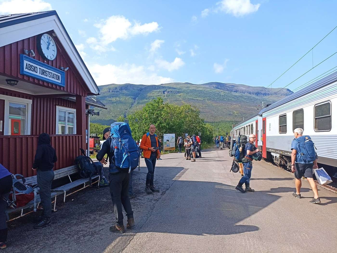
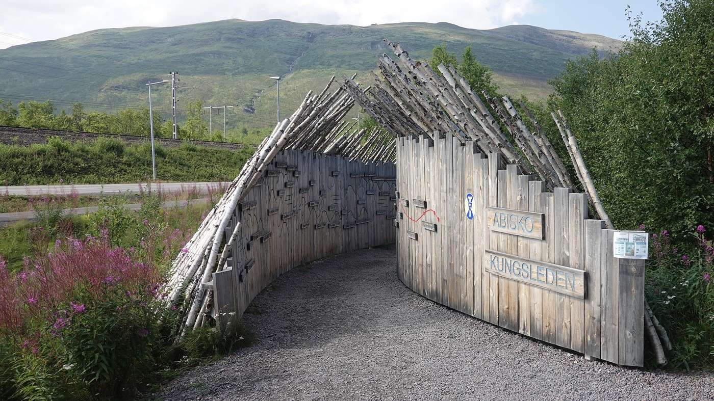
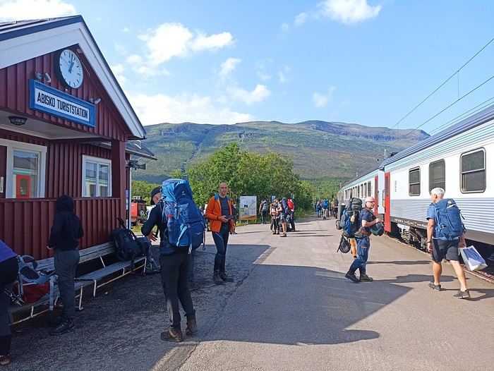
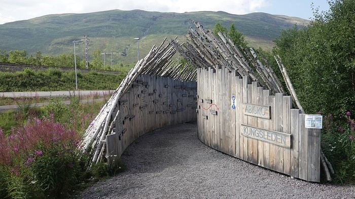
And on this August 3rd, here we are—though a little later than planned since the train was 2 hours late, and we had to search a bit for the "official" starting point with its tent-shaped poles.

We gulped when we saw everyone who got off at Abisko! No doubt we won’t be alone on this Abisko–Vokkotavarre section, which is the most popular part of the entire Kungsleden.


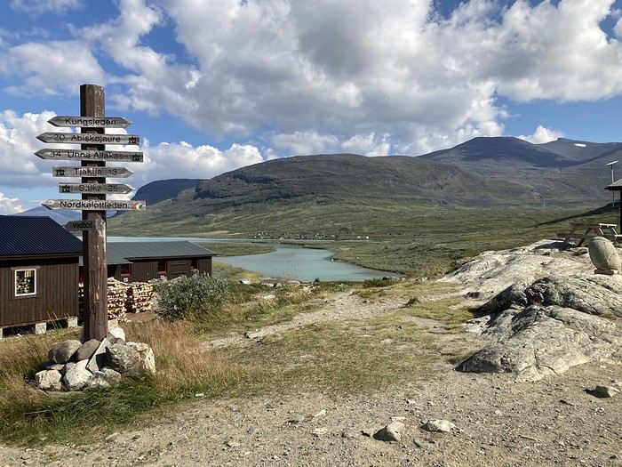
This starting point is pretty nice—you can see all the stages marked on the walls:

1:30 PM, crossing the line—it’s sunny, even hot at times. The packs are digging into our shoulders; it’s always like this at the beginning...

During prep, I’m the queen of options, and for this first stage, I had the option of going via Karsavagge. But that option, like many others, got scrapped. We’re starting easy and taking the direct route to Abiskojaure.

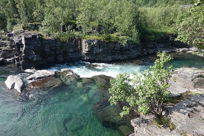
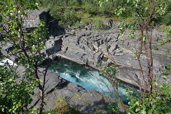
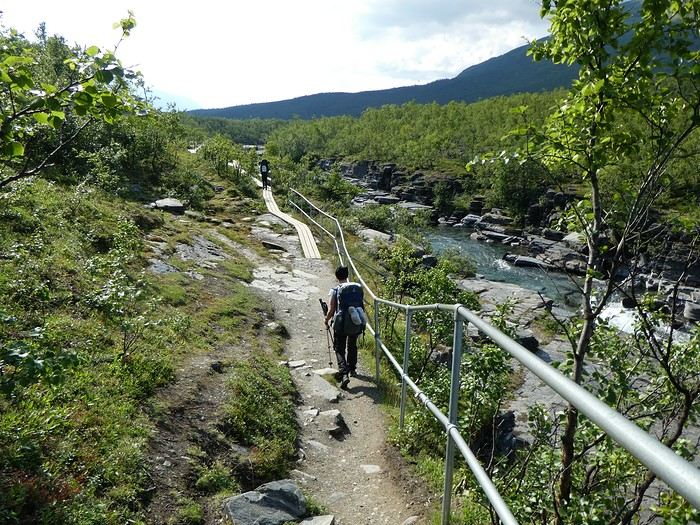
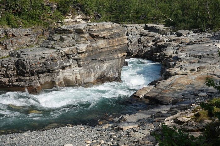
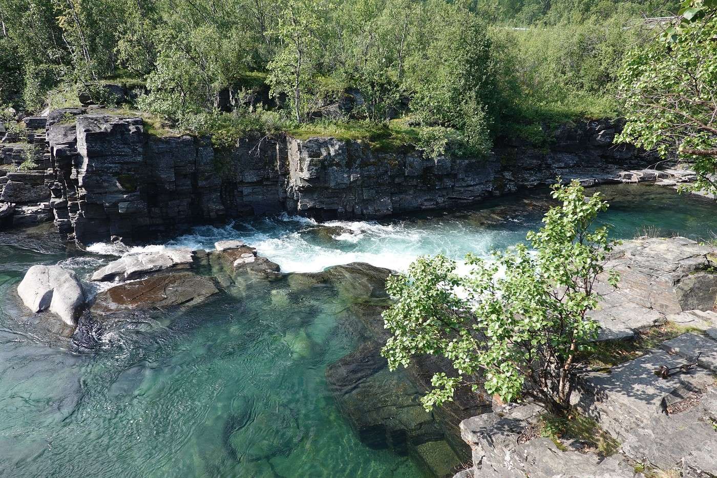
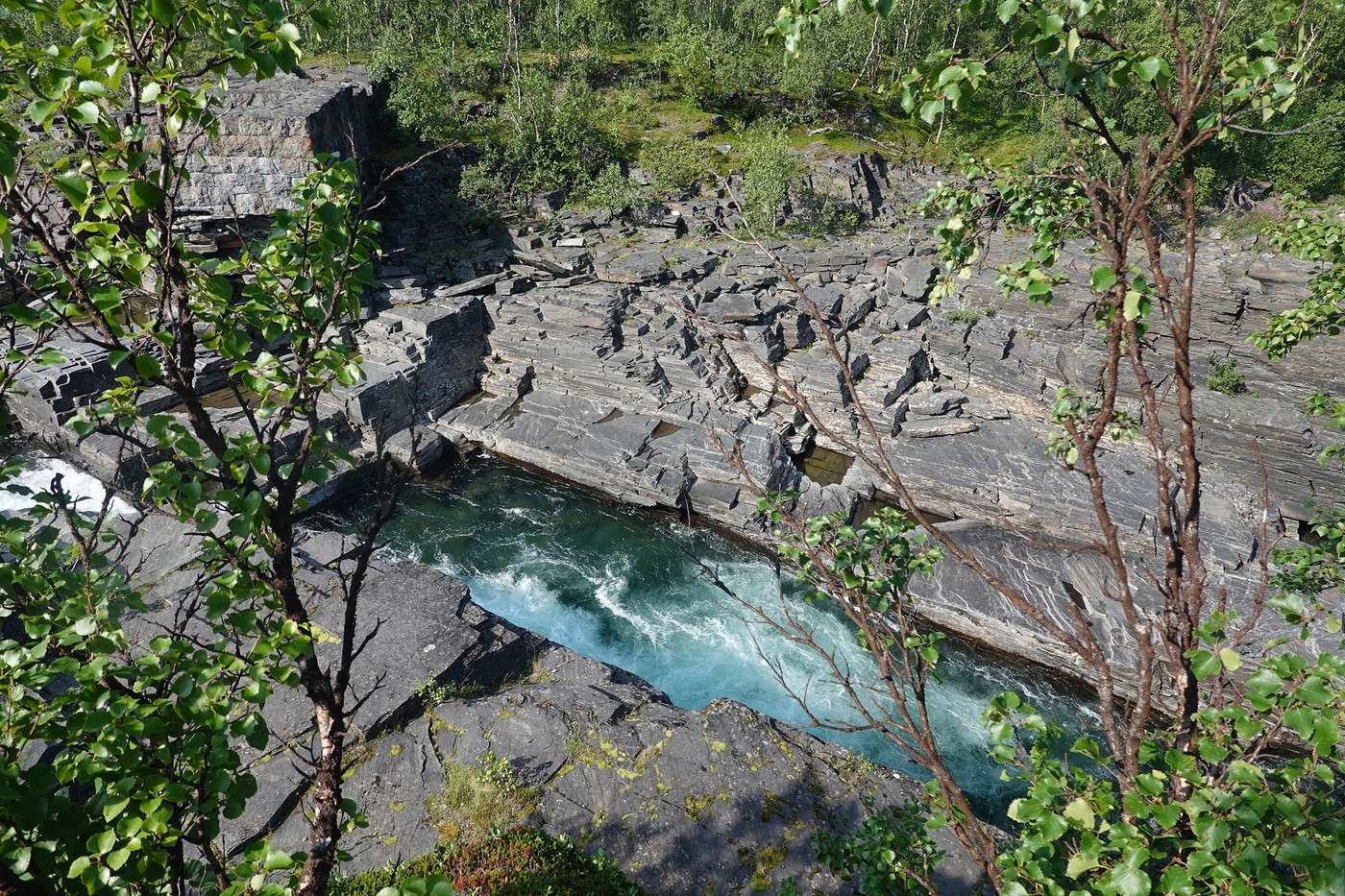
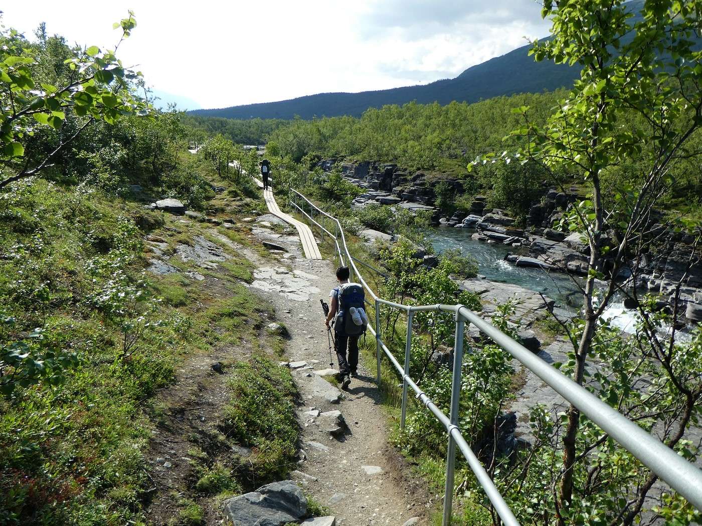
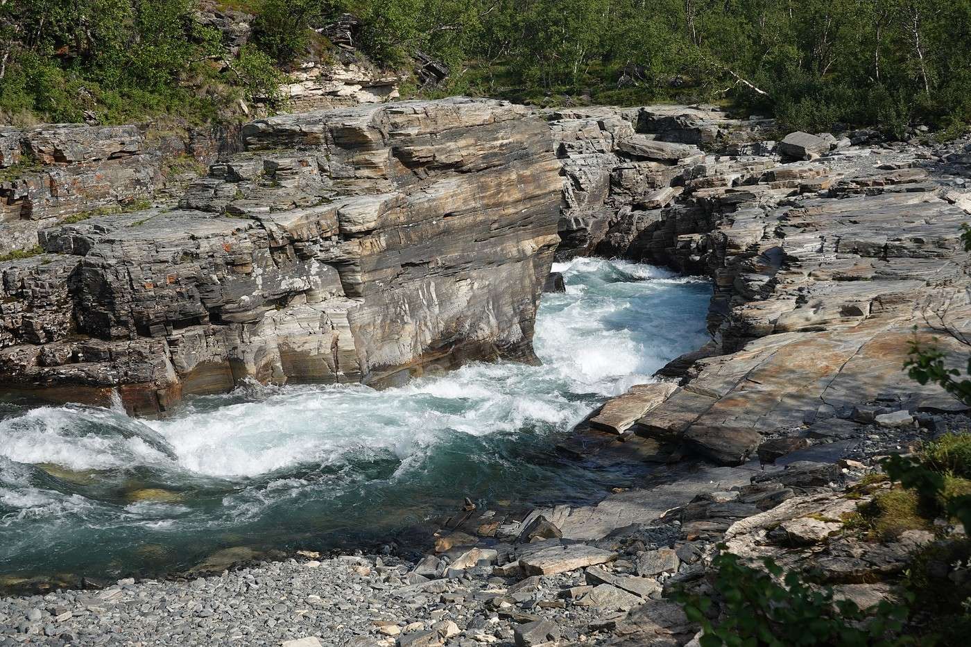
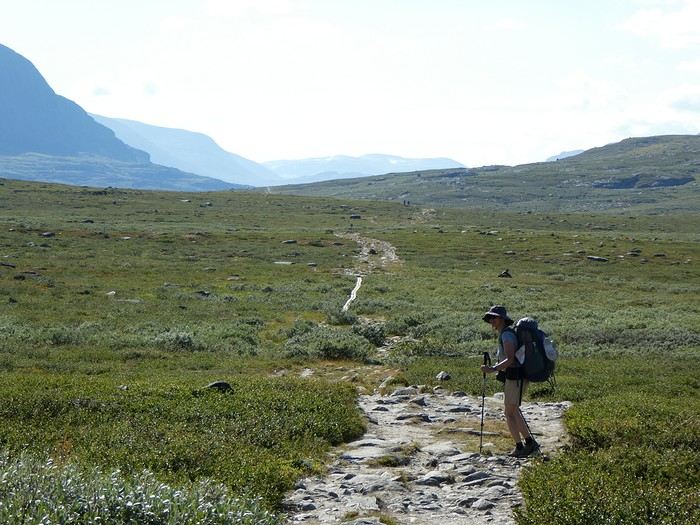
There are a lot of people at the start—normal, since everyone who got off the train must’ve started around the same time. These gorges along Abiskojakka are quite pretty and probably also interest those spending a few days in Abisko without doing the Kungsleden. Plus, the trail is easy.


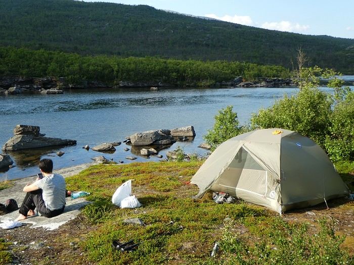
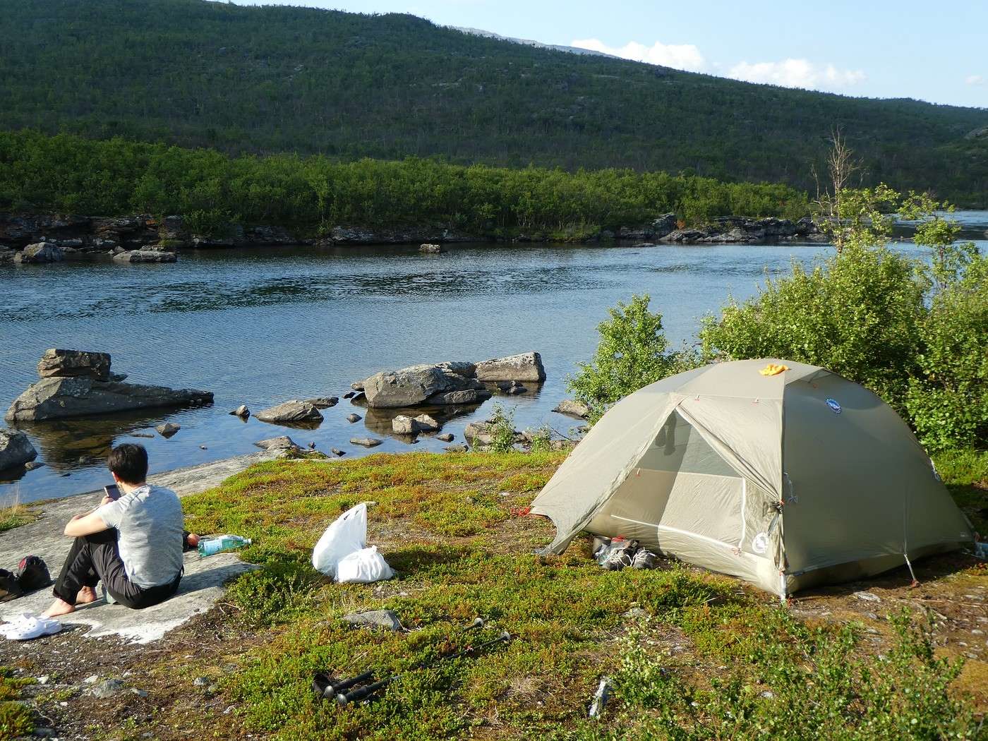
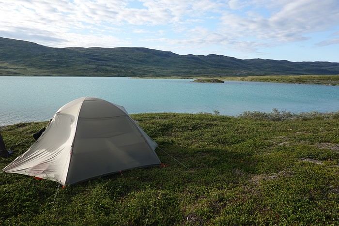
After 10 km, we come across an ideal campsite by the river, so the decision is (quickly) made to pitch the tent here.


A little dip in the river and lovely views to end the day. Hardly any mosquitoes, either! The only small downside: two other tents set up nearby. Still, it was nice to see a family with kids—it’s pretty rare. And honestly, we’re just so happy to be here...


Summary: 10.7 km - 160m elevation gain, a truly gentle start!

Back to Swedish Lapland: Trek on the Kungsleden and Crossing Sarek

Calisson94 · 2026-06-13

Before moving on, here are a few miscellaneous bits of info:

Below are the two books I used to prepare for this trek: - The Calazo guide "Kungsleden" (in English), which describes the route from Abisko to Kvikkjokk but is also a real goldmine for the famous side options/variations or day hikes from the different huts along the trek. - The Reise-Know-How guide "Sarek" (in German thanks, Google Translate!), which was the only one I could find in 2022 and precisely describes the different routes in Sarek, including their difficulties and possible round trips to summits.

Should you get the STF card (or not)? This paid card gives you discounts on certain boat transfers, lets you camp near the huts, use their kitchen spaces during the day, or even sleep there if the weather turns bad. When you're tent camping, it’s worth considering. We decided to get it because the cost didn’t seem too steep compared to the potential savings (550 SEK in 2024, about 50 € for two—though I’ve seen it’s now 600 SEK, but what isn’t getting more expensive these days? And it’s still way cheaper than its Norwegian equivalent, which costs more than double!!).

Having food delivered to Saltoluokta: It’s possible to send a package with supplies to Saltoluokta, which can be super handy! This service is provided by Bussgods. Unfortunately, it wasn’t an option for us because you have to drop off the package in Sweden at specific locations (you can’t send it from France), and the timing would’ve been too tight between the flight and the evening train. You can find more info HERE under the "Other services" section.

Back to Swedish Lapland: Trek on the Kungsleden and Crossing the Sarek

Calisson94 · 2026-06-14

04/08 – 5 km before Abiskojaure - on the east shore of Lake Alisjavri

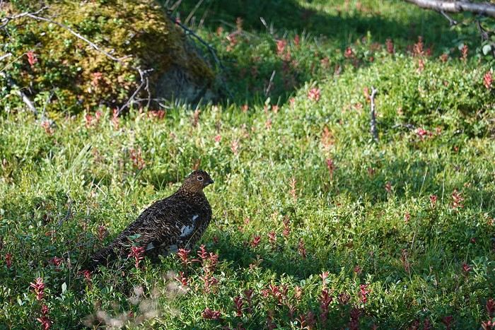
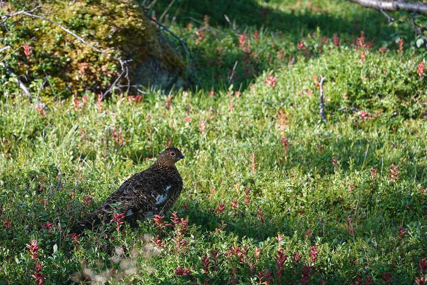
8:30 AM, we set off and quickly come face to face with this ptarmigan, which isn’t shy at all.


After a few pleasant kilometers, Abiskojaure comes into view on the other side of the river.


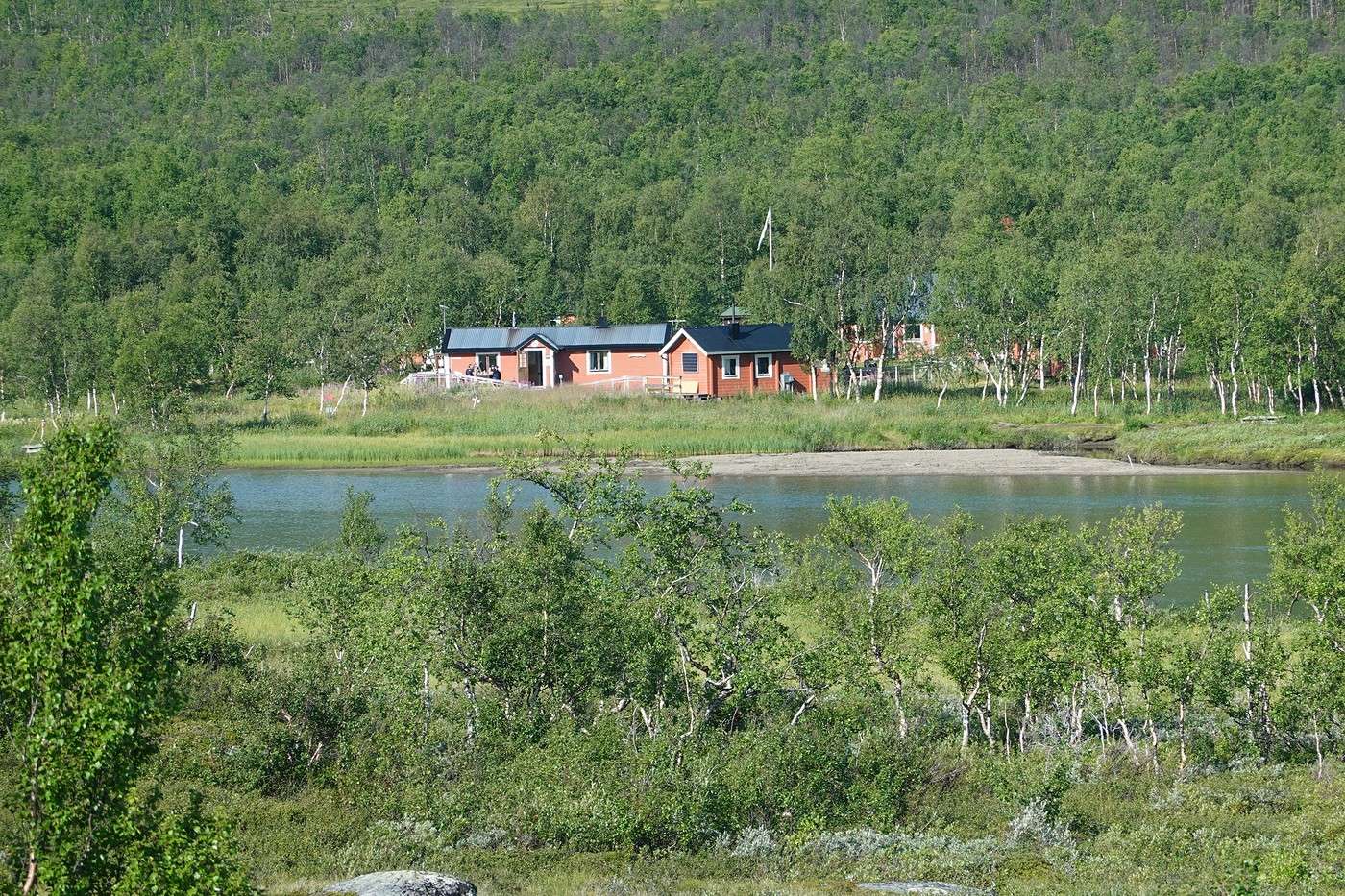
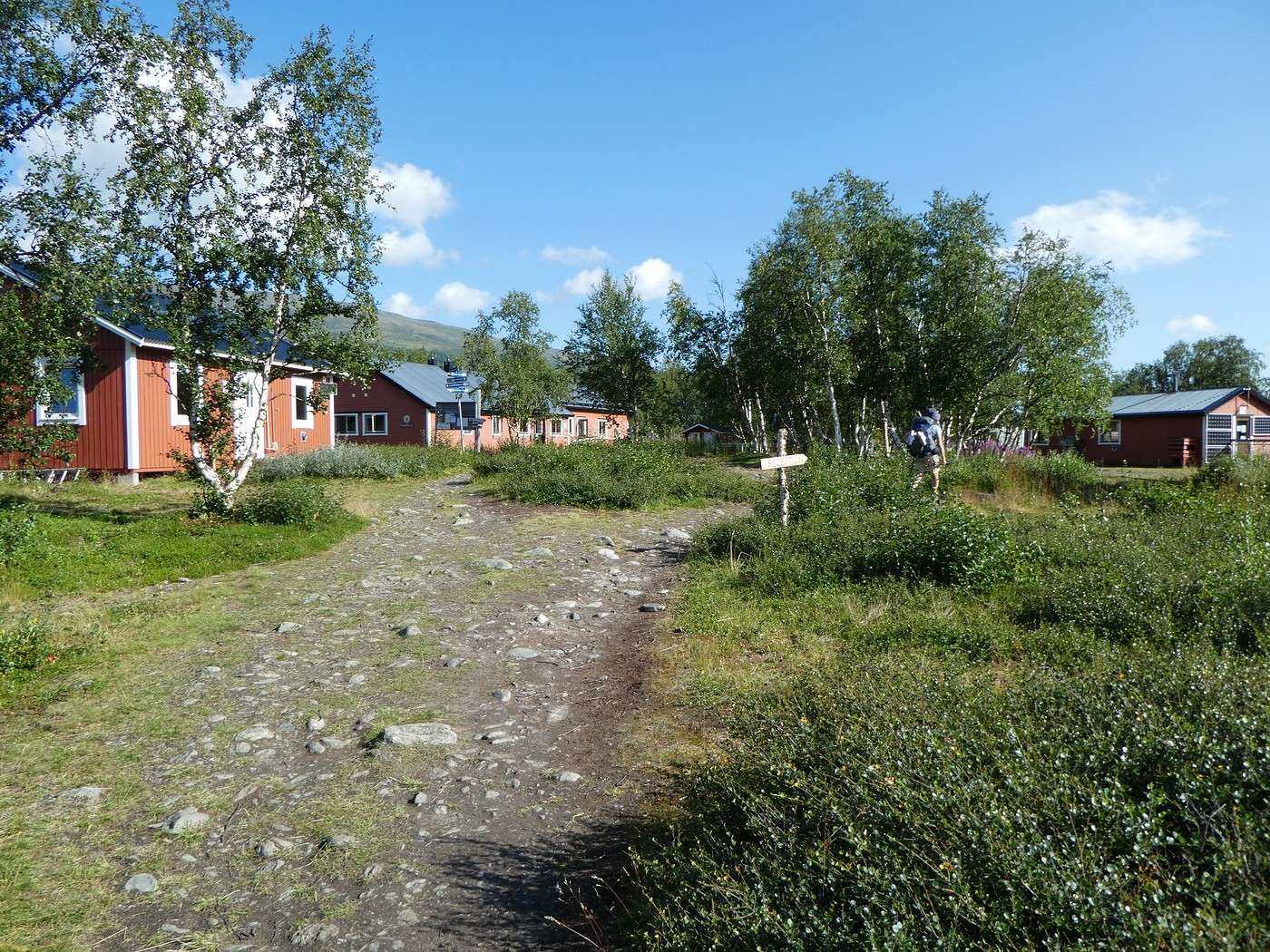
We cross the bridge to check out what this hut looks like. Pretty deep in the forest, it’s not the coziest, and there must be mosquitoes...


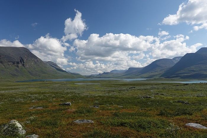
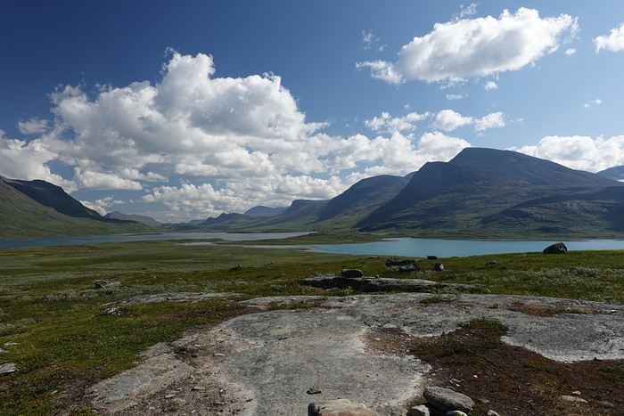
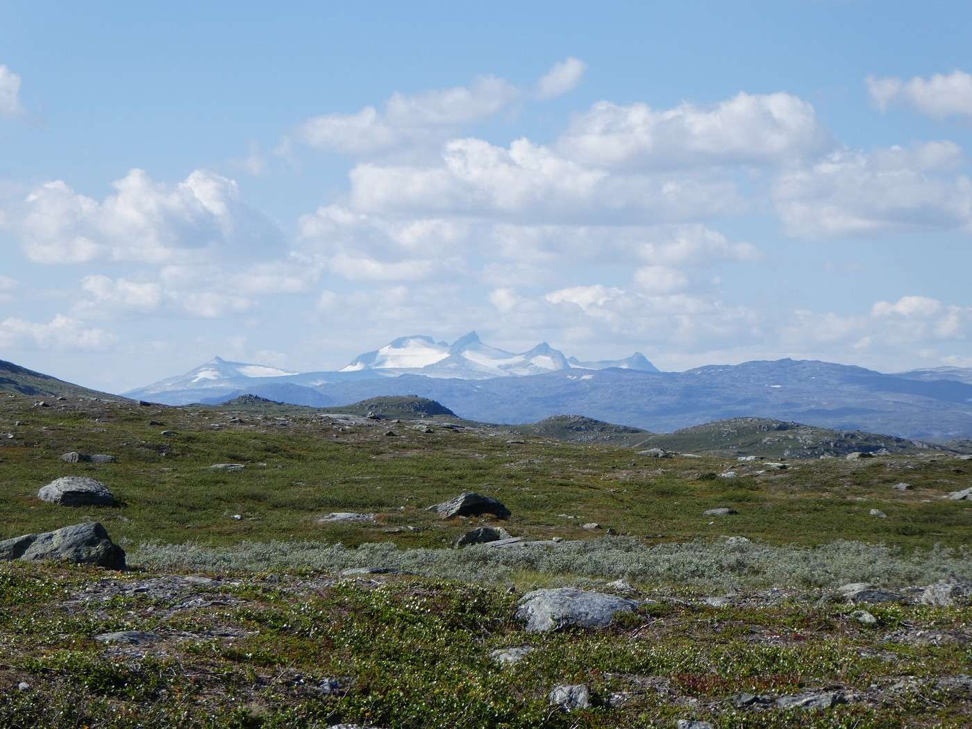
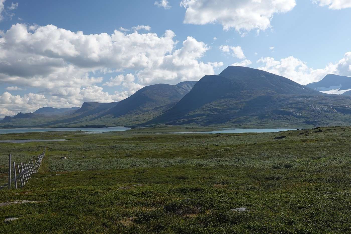
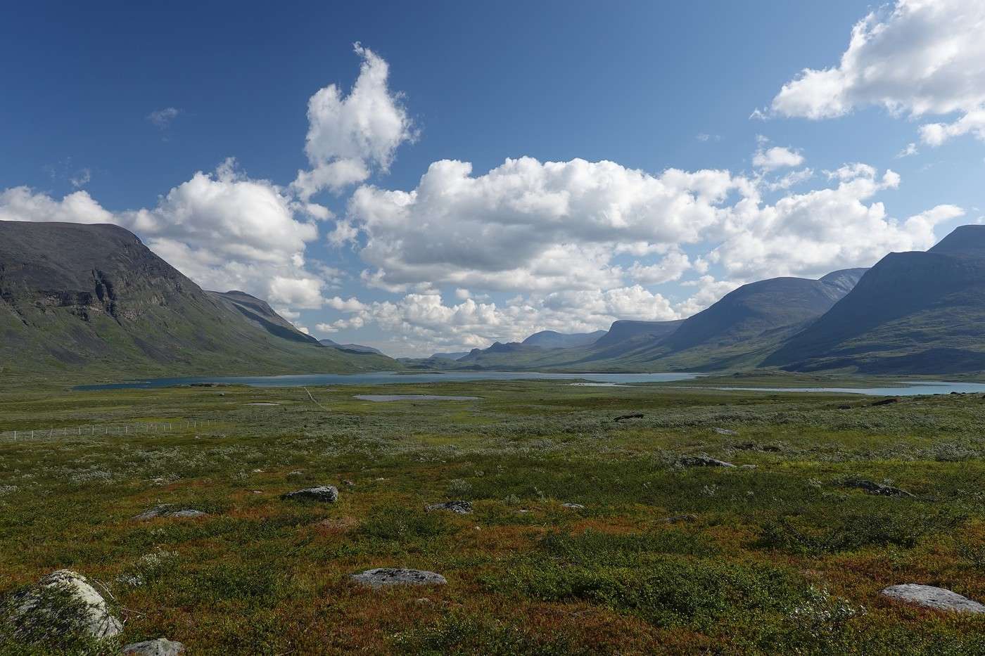
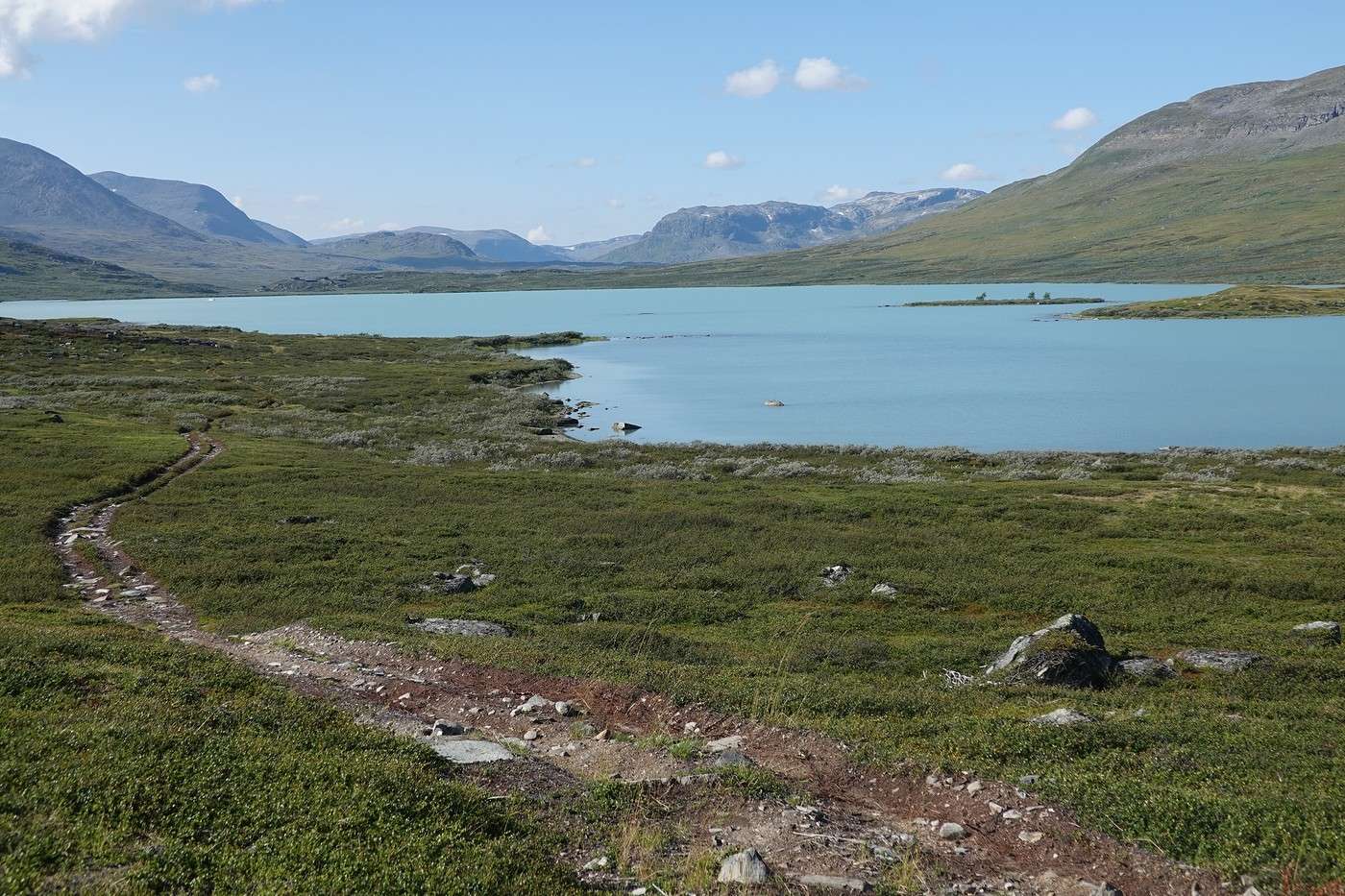
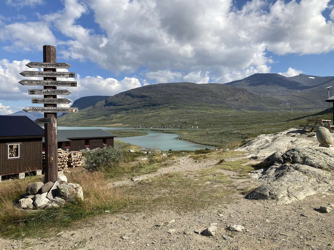
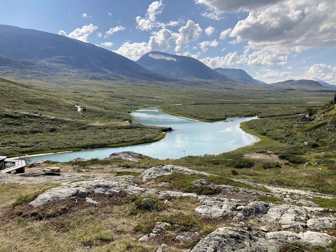
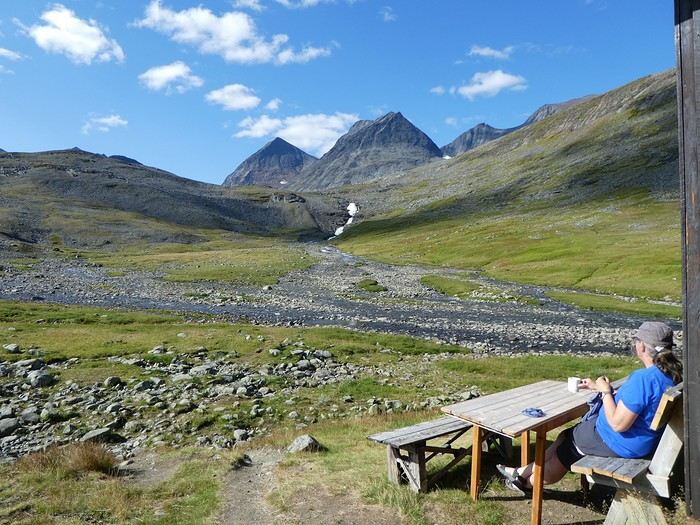
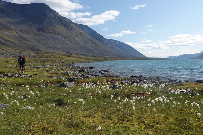
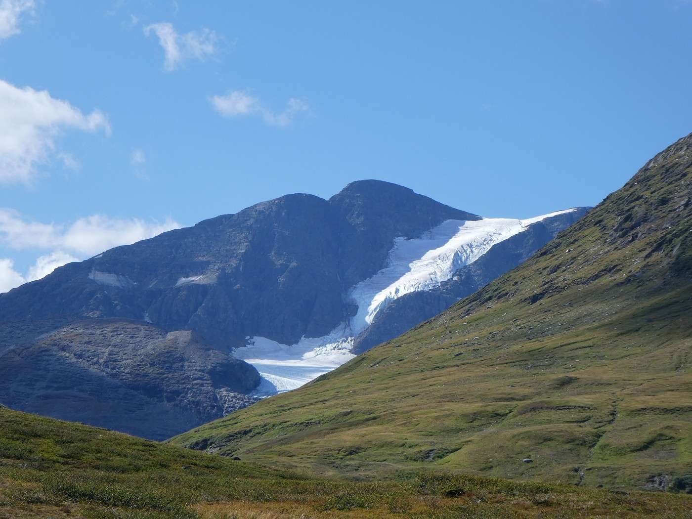
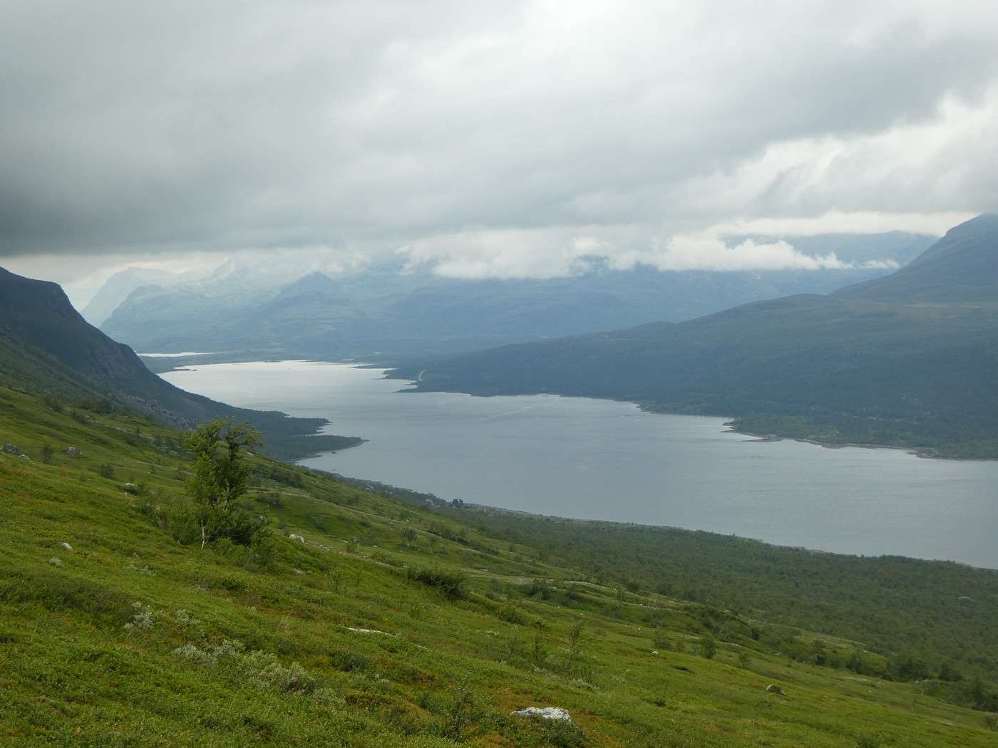
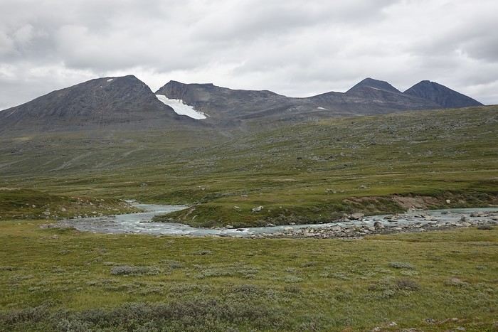
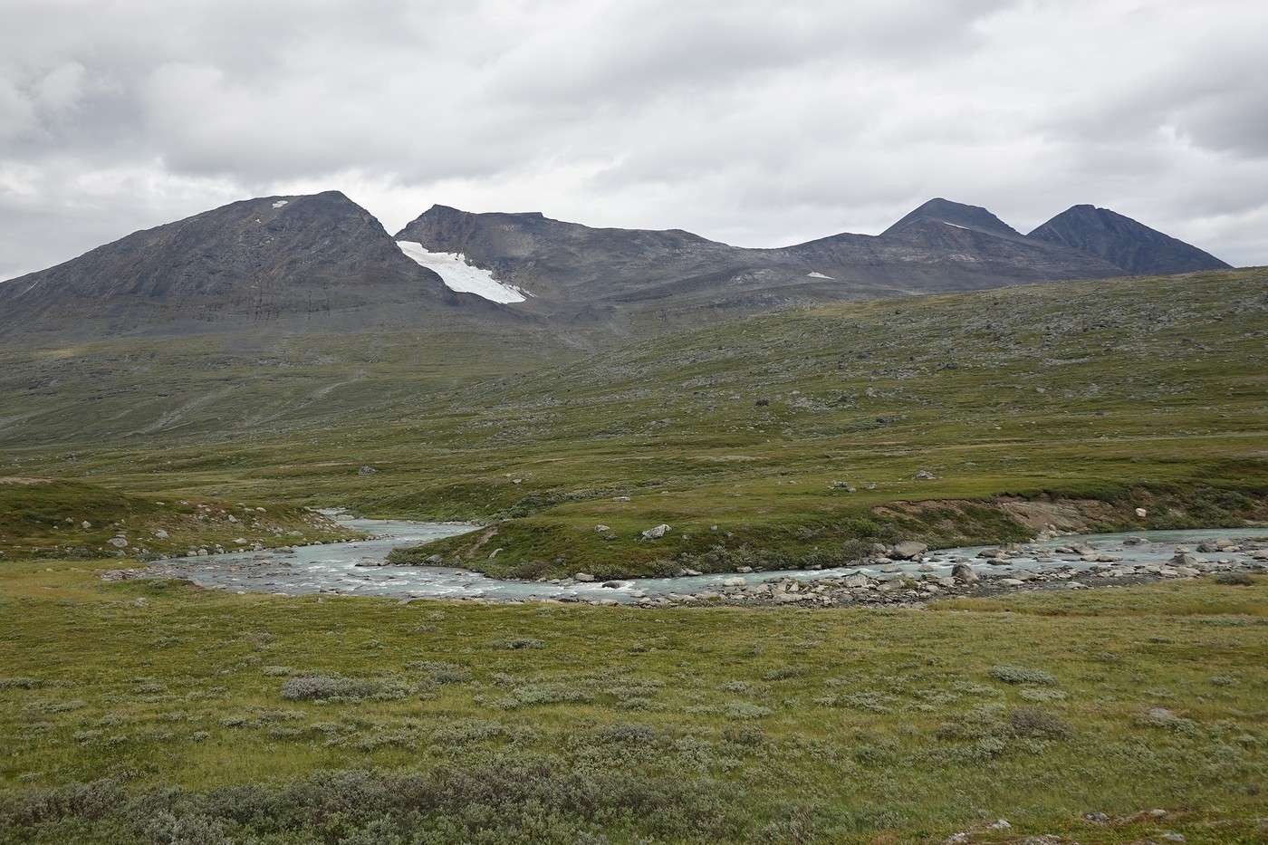
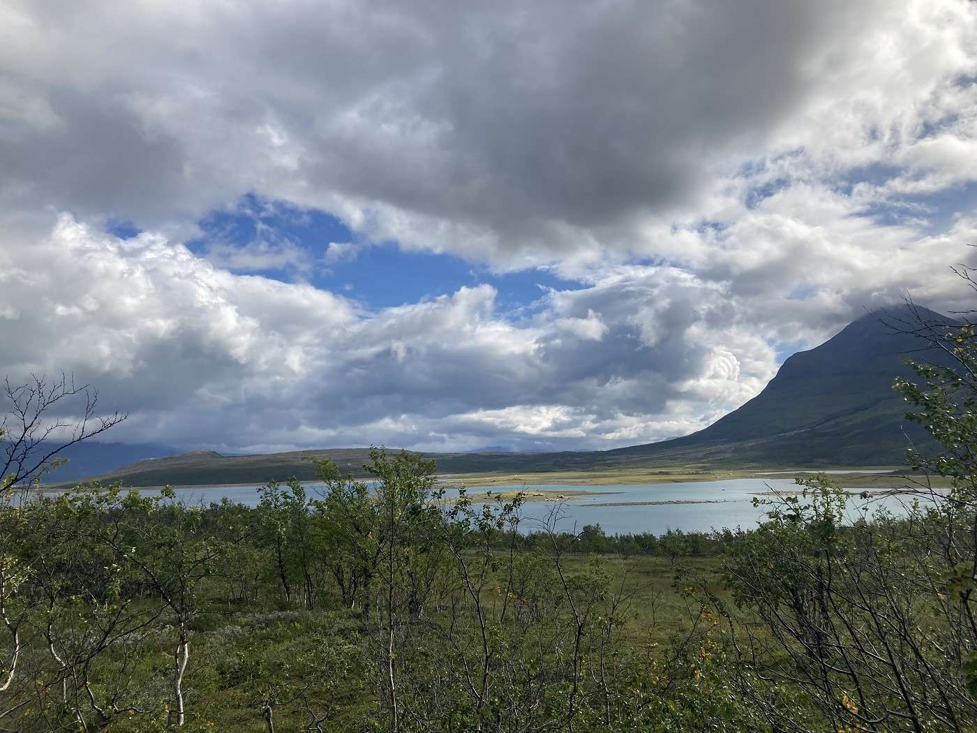
We take advantage of the shop to grab a quick resupply, then continue on our way toward Alesjaure, the next hut on the Kungsleden. A short 300 m ascent, and we’re on a plateau. Gradually, the landscape opens up, and it’s stunning! Mountains, glaciers, lakes with turquoise waters—the view is incredible, nothing but beauty.


Back to Swedish Lapland: Trek on the Kungsleden and Crossing Sarek

Calisson94 · 2026-06-14

Okay, VF just kicked me out twice in a row. I’ll continue this post later...

Return to Swedish Lapland: Trek on the Kungsleden and crossing Sarek

Sinforosa · 2026-06-14

Well, VF just kicked me out twice.

Yeah, the bugs are recurring. In this discussion, you might find some tips to deal with them: https://voyageforum.com/forum/bugs-voyage-forum-d10777957-5/

Back to Swedish Lapland: Trek on the Kungsleden and Crossing Sarek

Calisson94 · 2026-06-15

Thanks so much! Yesterday it was an IP issue—I’ll see how it goes this morning...

Return to Swedish Lapland: Trek on the Kungsleden and crossing Sarek

Calisson94 · 2026-06-15

04/08 – Continuation

To reach Alesjaure, I had the option of taking the eastern shore of Lake Alisjavri. Sure, there’s an extra crossing of over 100 meters, it’s longer, but the path passes near the Fantomen Falls, which I really wanted to see. It’s also a way to avoid the classic route and the crowds.

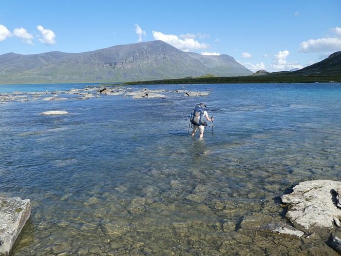
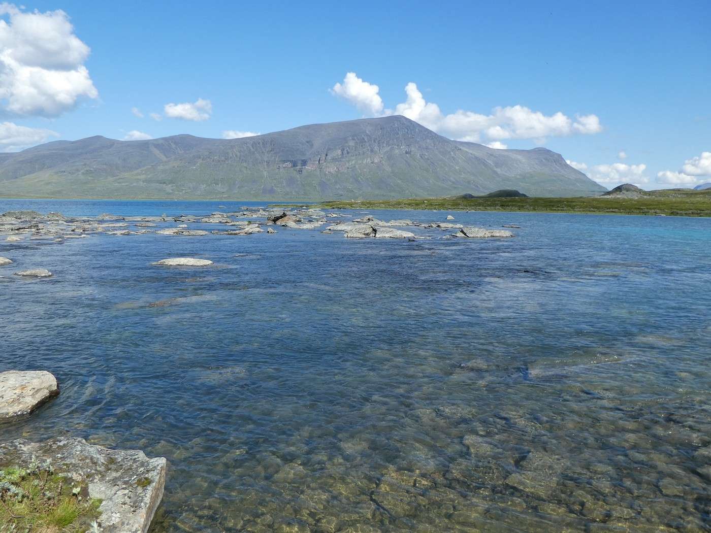
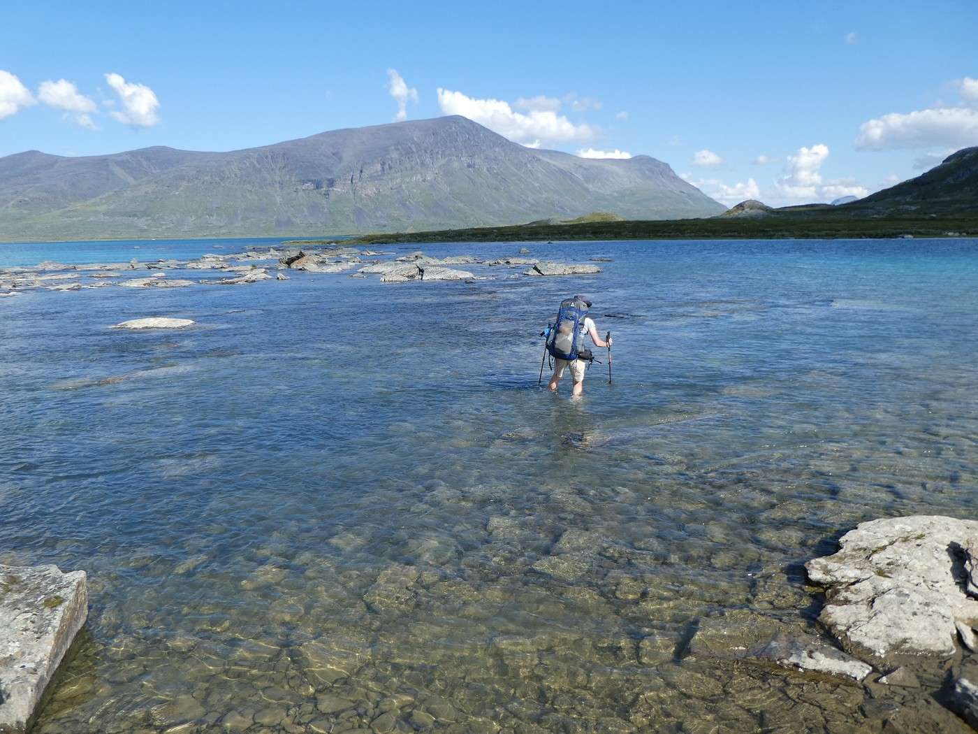
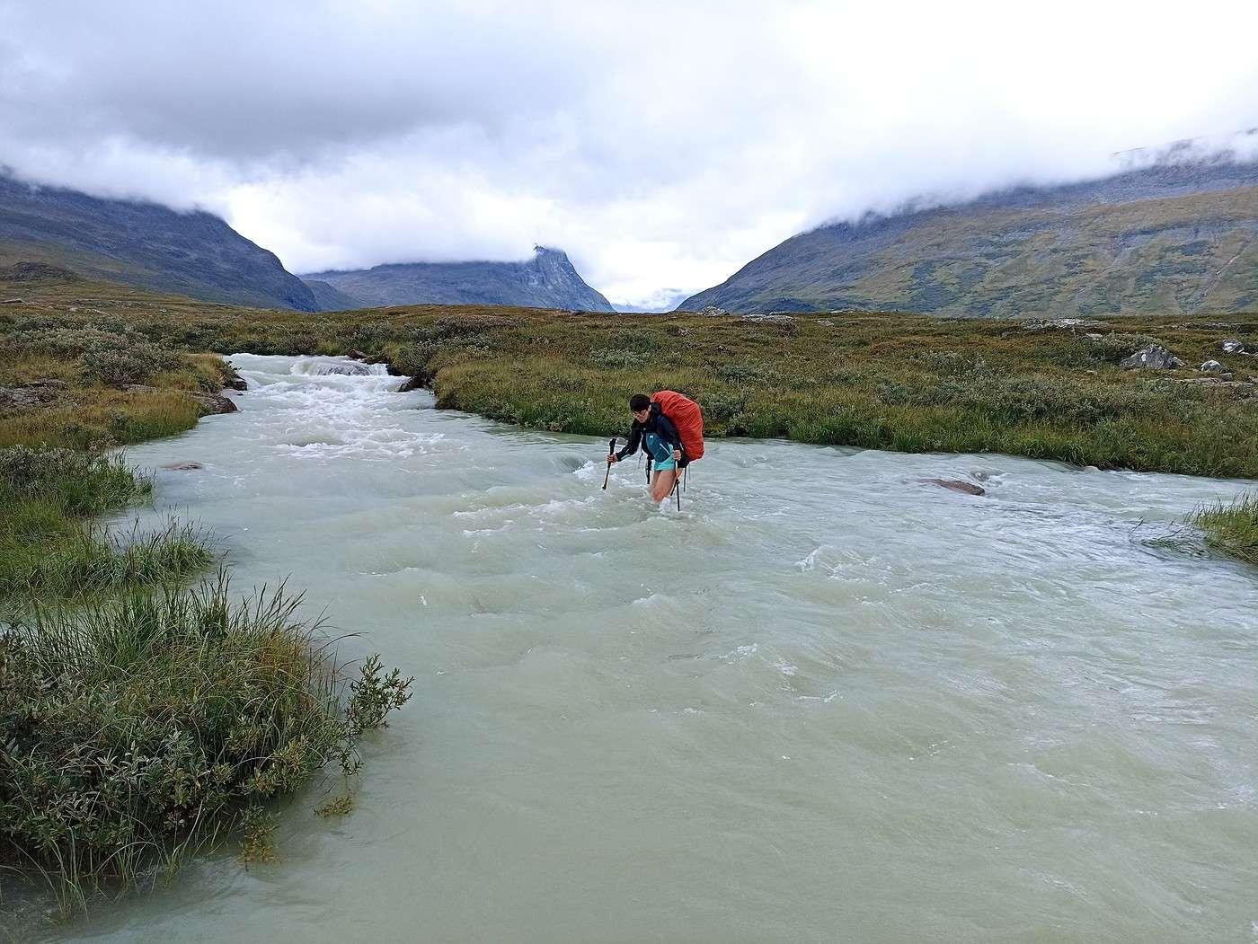
We head down to the narrow strip of land where the ford between lakes Miesakjavri and Radujavri is located to check it out. The *Kungsleden* guide warns that the water can be knee-deep with strong currents. Hmm, it’s actually quite wide, but it doesn’t look too deep. Alright, let’s put on the crocs!


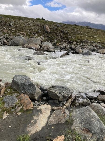
Crossings are always deceptive—they look easy from the shore, but with the current, which you can’t really gauge from the bank, it turned out to be a bit tedious and quite long.


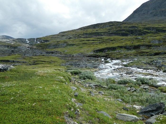
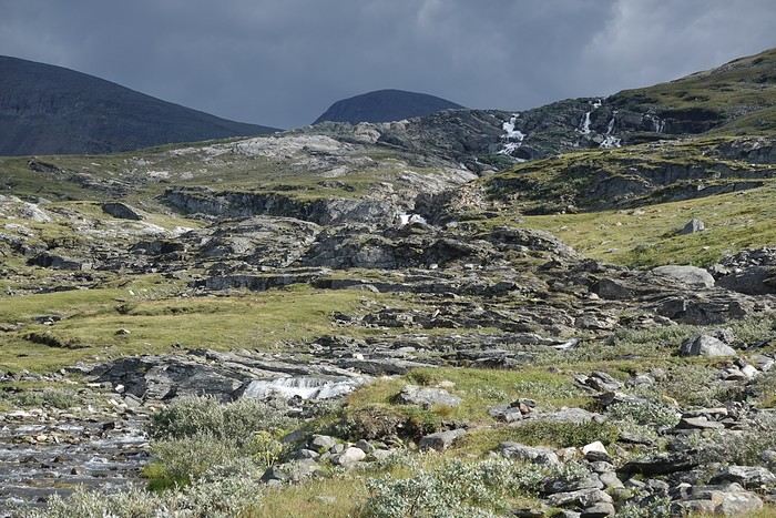
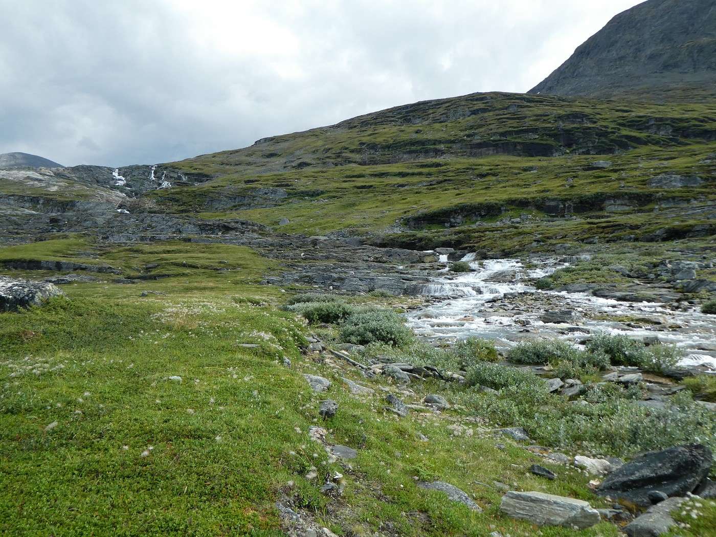
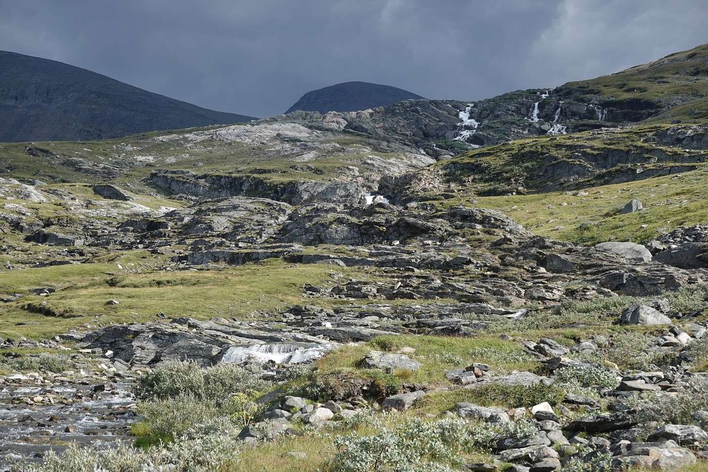
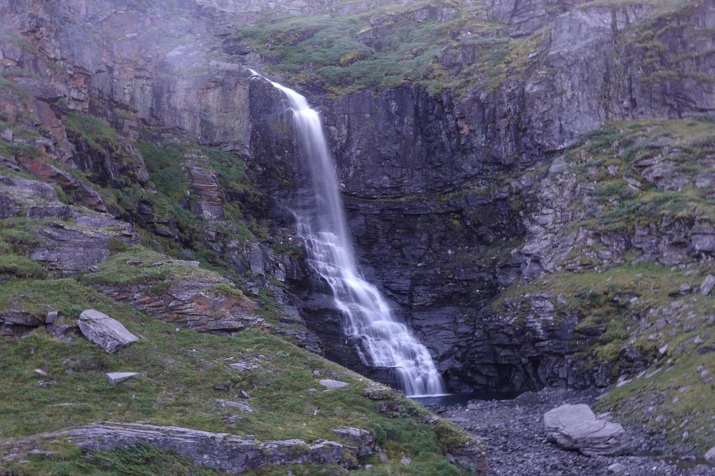
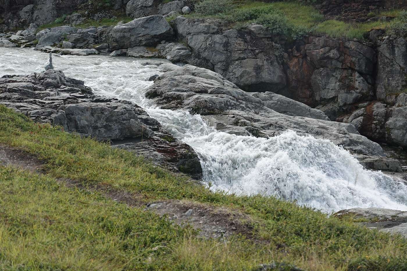
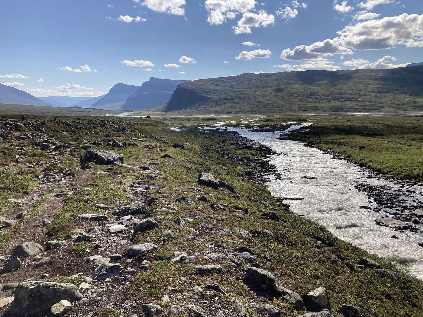
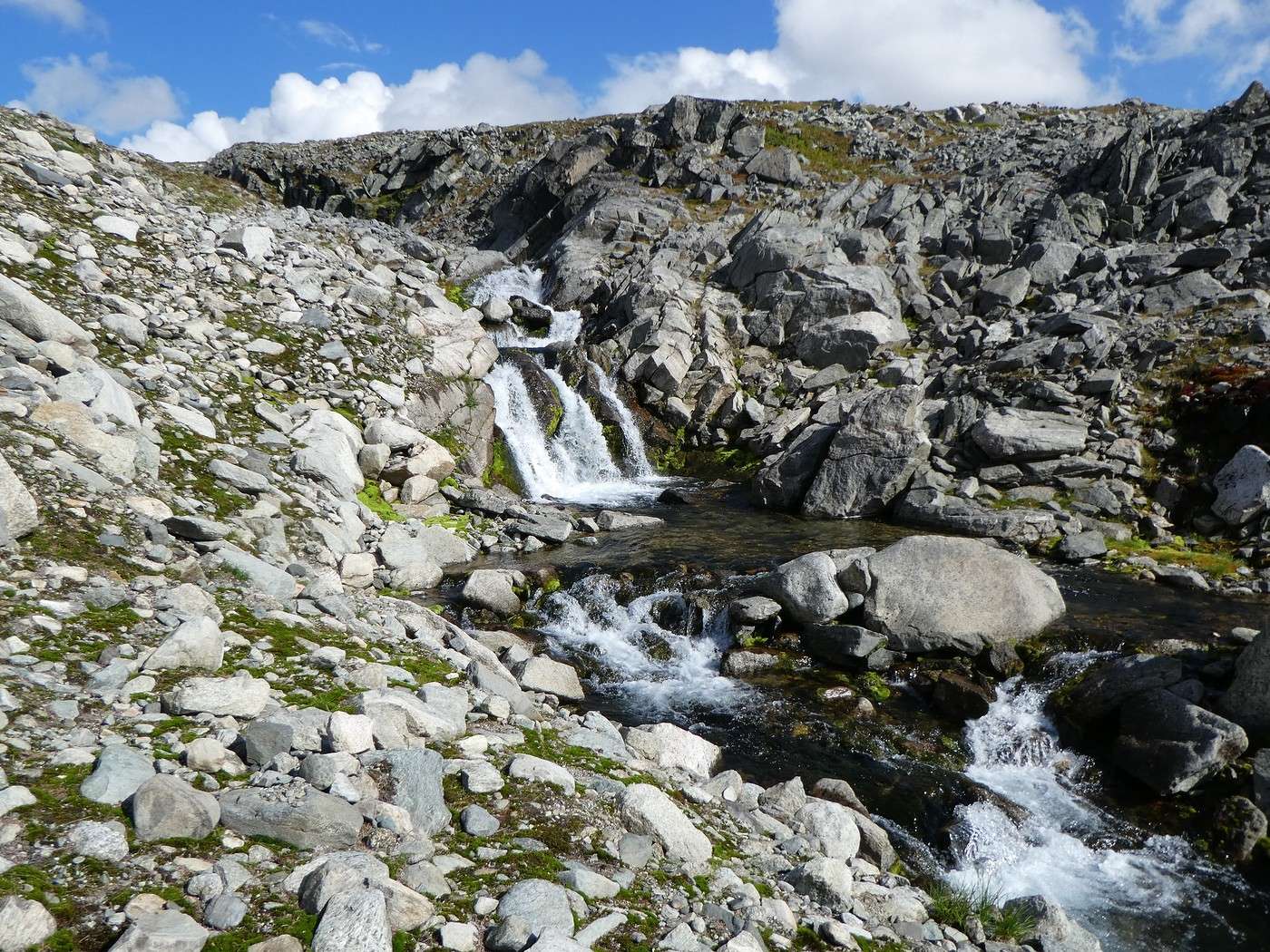
Now we’re on the other side, alone. The path here is trickier—lots of mud, a few rivers to cross, so we’re not moving fast. But it’s really pretty, with rolling terrain, charming little waterfalls trickling down, and the sky temporarily clouding over, adding some depth to the scenery.


We keep going a little further and set up camp by the shore of Lake Alisjavri. We consider doing a round trip to Fantomen Falls, but the day’s been long, so we’ll save it for tomorrow.

Unfortunately, eating outside isn’t an option tonight (those pesky little mosquitoes!).

Weather-wise, it was another gorgeous day. Shorts and a T-shirt in Lapland—even in summer, that’s not an everyday thing!

Summary: 22 km and 600 m of elevation gain.

Back to Swedish Lapland: Trek on the Kungsleden and Crossing the Sarek

Calisson94 · 2026-06-16

05/08 – East shore of Lake Alisjavri – just before Tjaktja

This morning we set off off-trail toward Fantomen Falls. It’s a really beautiful waterfall, though it was in the shade early in the morning (yesterday evening would’ve been better).


Alesjaure, the next hut, isn’t that close—we still have 7 km of hiking to get there. The trail is nice and soft, and the scenery is just as stunning.


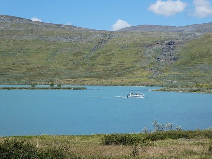
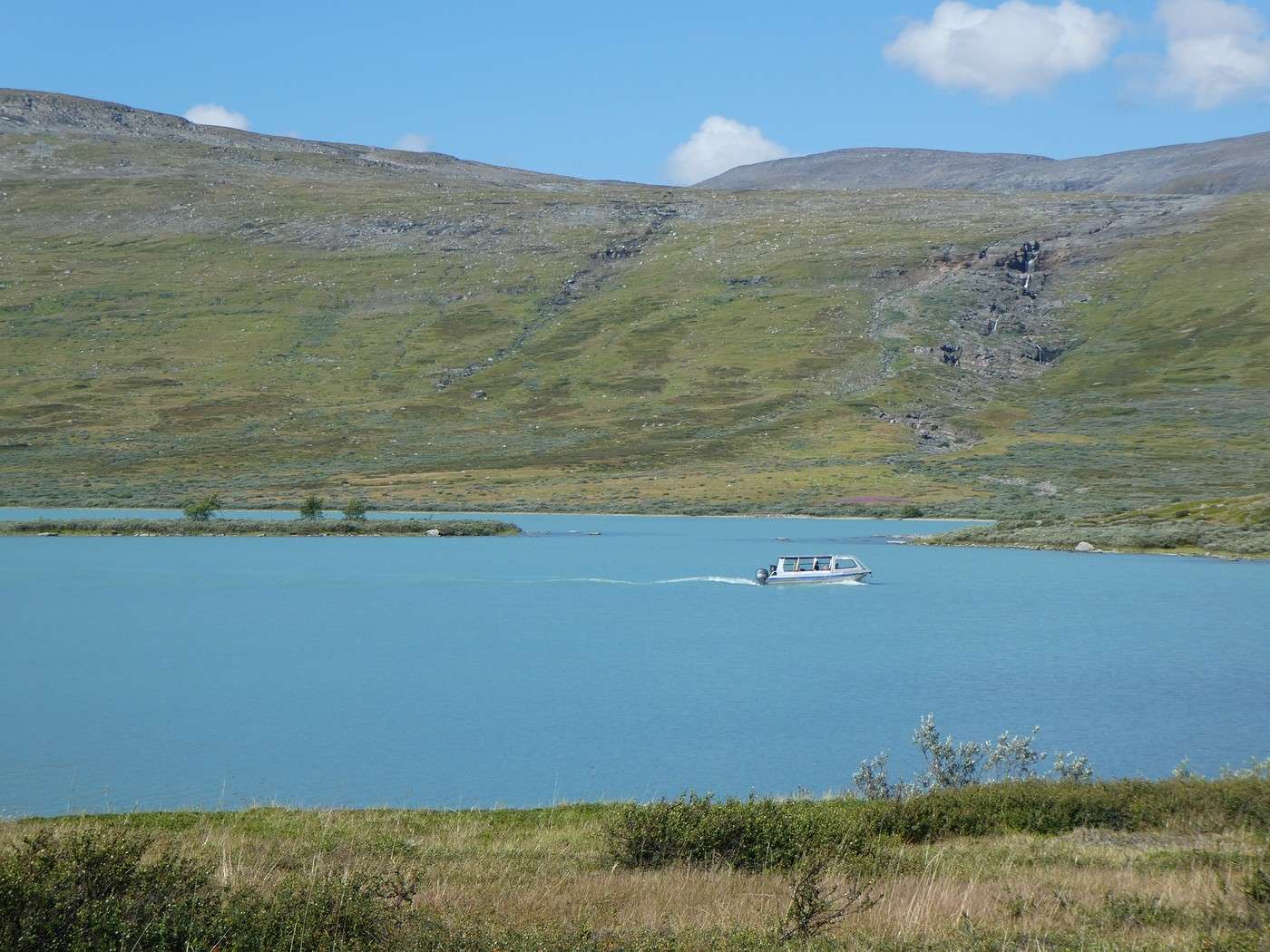
We spot the boat that shuttles between the hut and the lake’s west side. This shuttle lets hikers who want to skip 6 km of the 21 km Abiskojaure–Alesjaure leg (for a fee, of course).


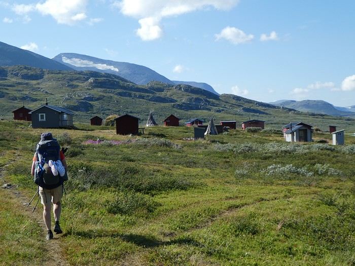
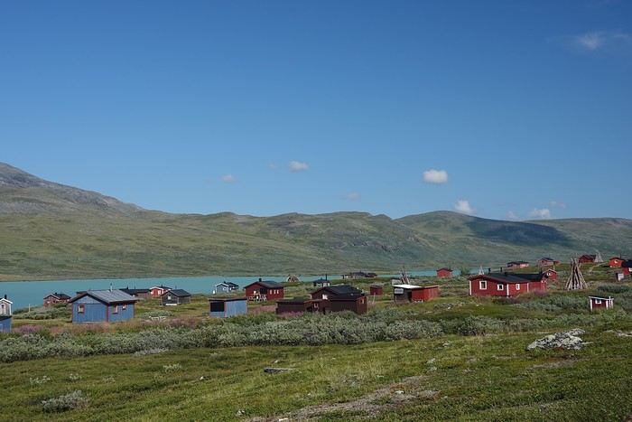
Along the way, we pass through the Sámi village of Alisjavri, which looks completely deserted this time of year but is quite spread out and super cute.


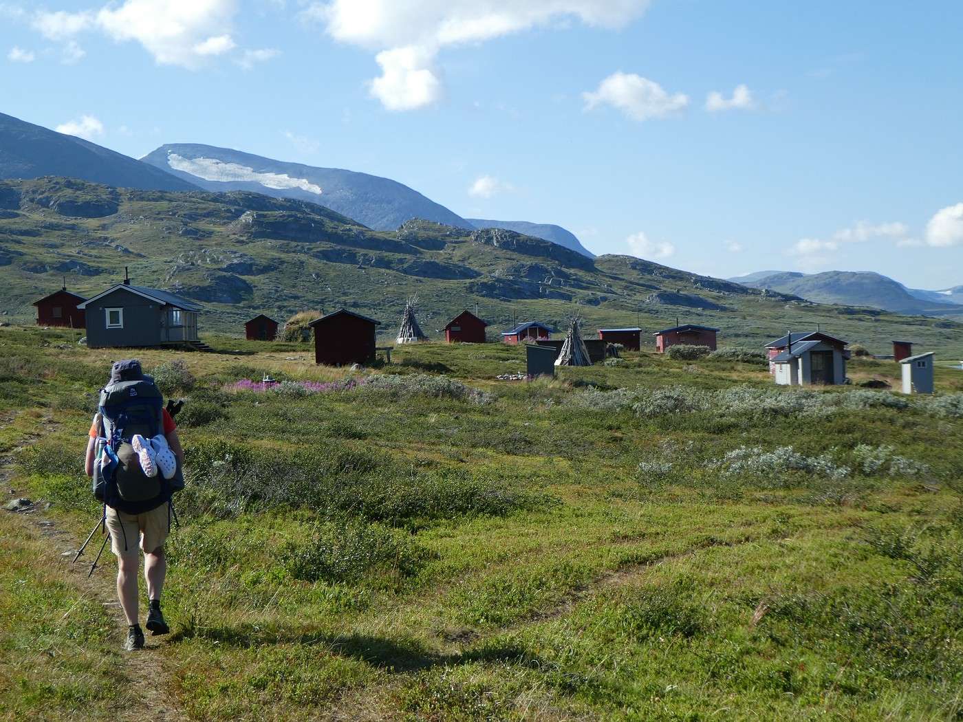
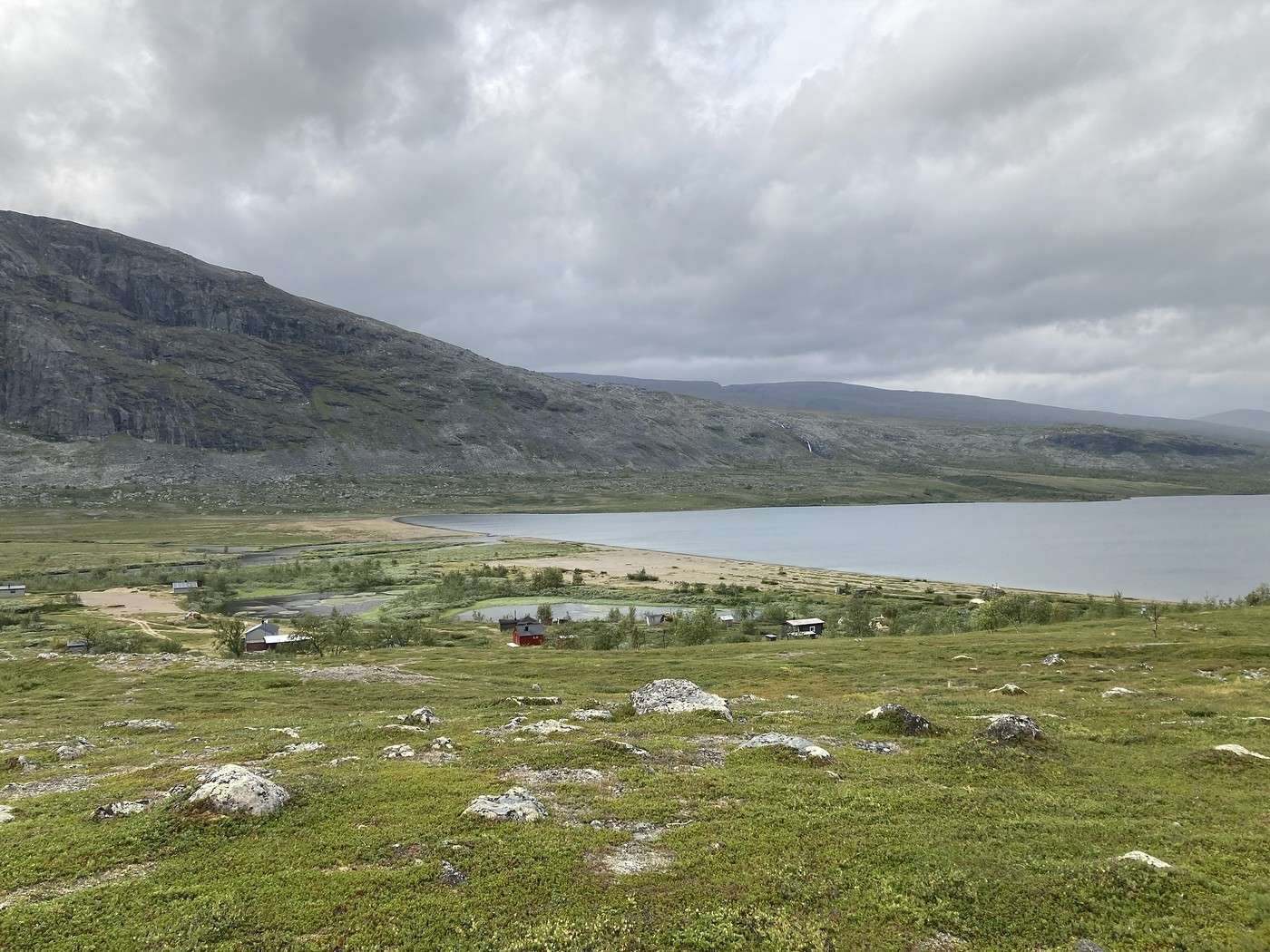
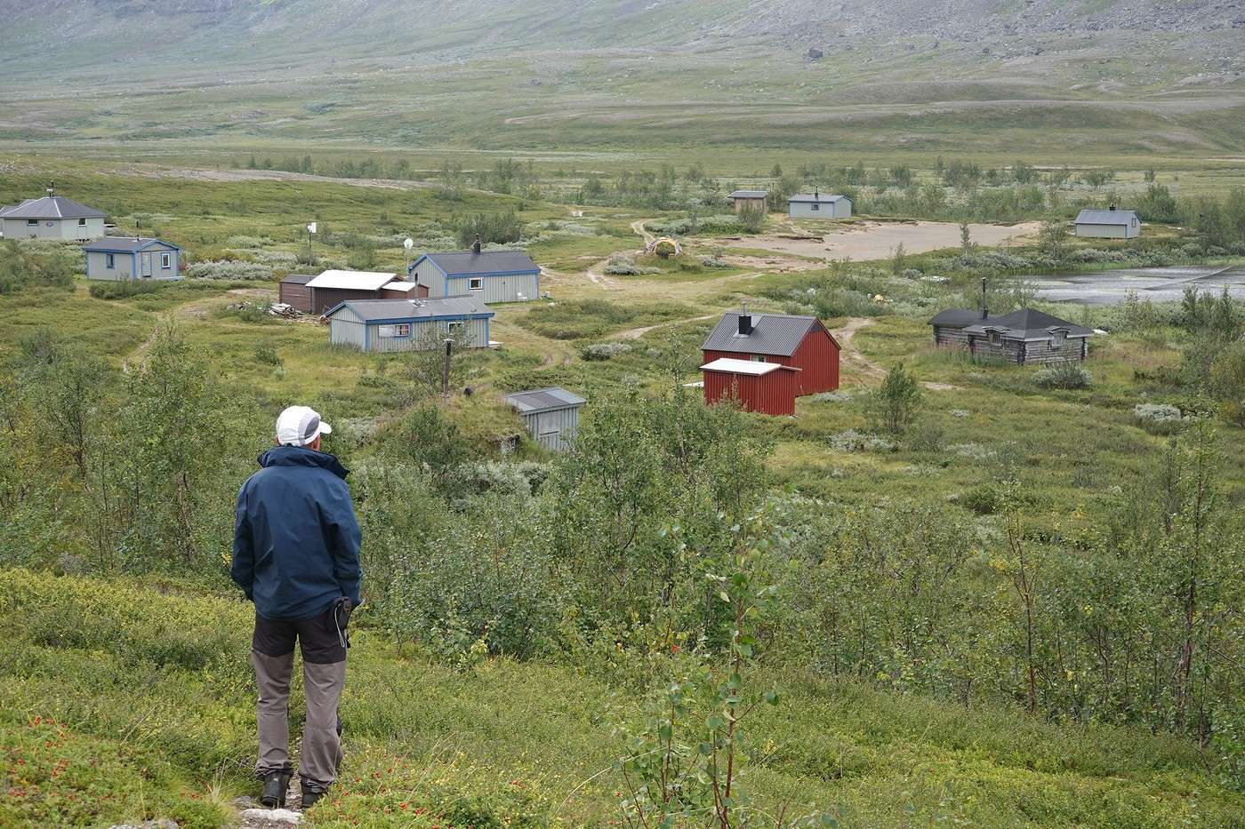
The end of the lake comes into view, and the Alesjaure hut on its promontory is now clearly visible.


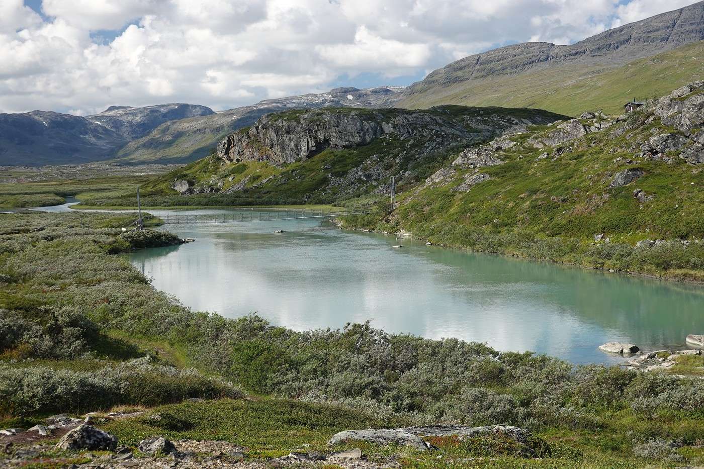
That access bridge is impressive!


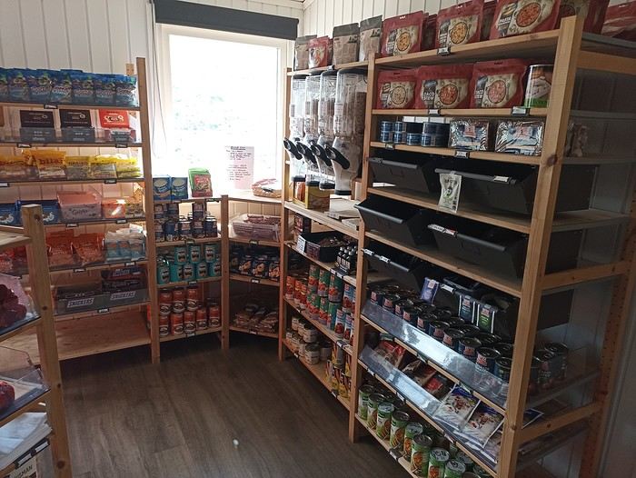
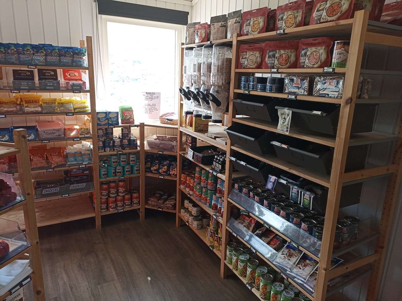
Here’s a photo of the Alesjaure shop, which is really well-stocked. On the Kungsleden, some huts have “large range” shops (big selection) like this one, others have small range, and some have no shop at all. As you can see, there are quite a few canned goods, which are handy if you’re sleeping and cooking on-site but less so if you’re moving around. There are also freeze-dried meals (see top of the photo, but $$$).

Back to Swedish Lapland: Trek on the Kungsleden and Crossing Sarek

Calisson94 · 2026-06-16

05/08 – East shore of Lake Alisjavri – just before Tjaktja (Continued)

Since it’s 11:30 AM, we decide to have a picnic right here after stocking up on tuna and canned pineapple. A feast compared to our daily tabbouleh! Plus, we can leave the empty cans behind before moving on.

This shelter has an amazing location with a view to match!

Here’s where we came from, with the Sámi village in the distance:


And where we’re headed next:


We stay a while. Midday means it’s quiet—perfect, since we’re out of sync with those hopping from shelter to shelter.

At 1:30 PM, it’s time to hit the trail again. There are still 13 km to Tjaktja.

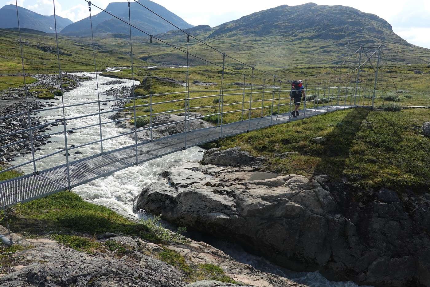
It’s beautiful, even if less dramatic than yesterday—endlessly wild, with natural scenery as far as the eye can see. Thankfully, there are bridges to cross the rushing rivers.


The only downside? Our packs are so heavy that after 2 hours, I have to stop to give my shoulders a break.

Around 3:45 PM, we feel the first raindrops. Uh-oh—those big dark clouds… are they catching up to us?

Yep. Luckily, we had time to pitch the tent before it really started coming down.


The temperature dropped—shorts are out, and a beanie and puffy jacket are definitely in. That’s summer in Lapland for you! 😏

Summary: 18.2 km – 350 m elevation gain

Back to Swedish Lapland: Trek on the Kungsleden and Crossing the Sarek

Calisson94 · 2026-06-16

06/08 – a little before Tjaktja – above the Salka hut via Nallo

A favorite leg of the trip!! But wow, it’s hard-earned...

In the morning, the weather is beautiful again, which lets us consider taking the Nallo route to reach Tjaktja.

This detour should only be attempted in good weather.

2.5 km of walking to get closer to the Tjakta hut, which we’ll only see from a distance.


And off we go for the climb. There are two other couples doing a round trip to the pass.


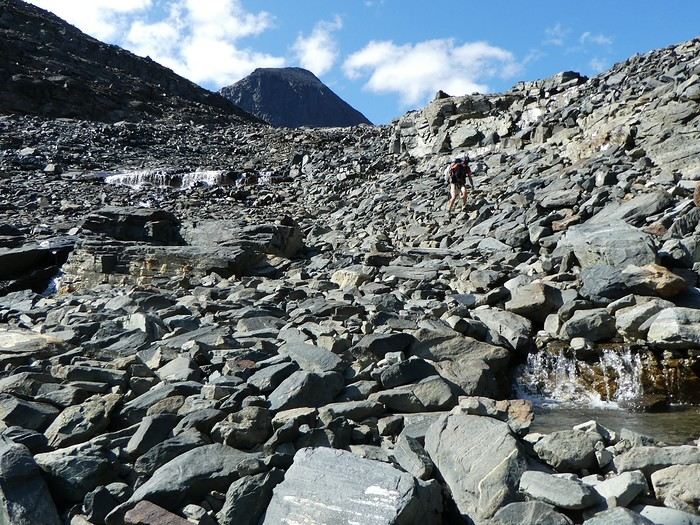
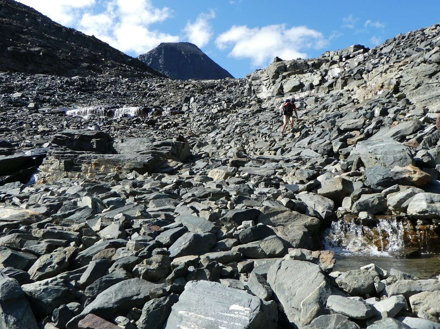
At first, the climb isn’t as tough as I feared, but after a while, we’re only moving forward on scree. Luckily, the scenery is stunning everywhere.


We go around a first lake.


And once we reach the pass, we can clearly see the rocky fields—where we came from.


But it’s not over because look where we’re headed!


Oh, what a lovely encounter!


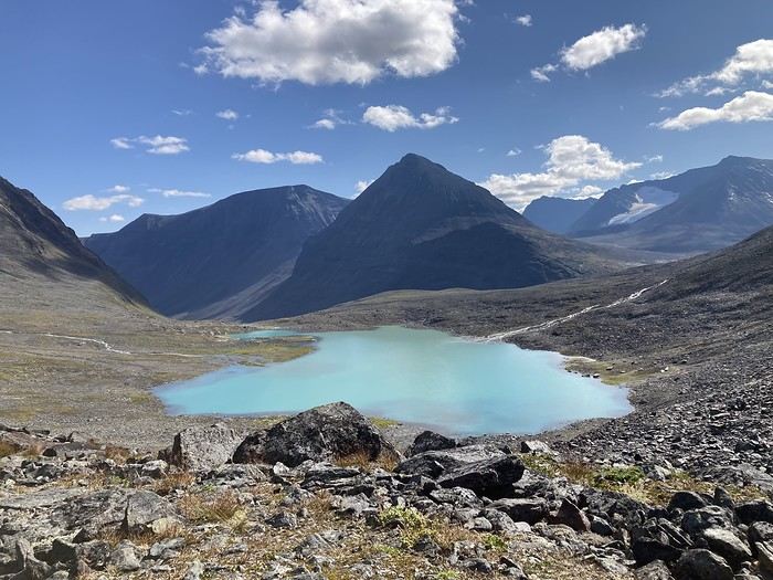
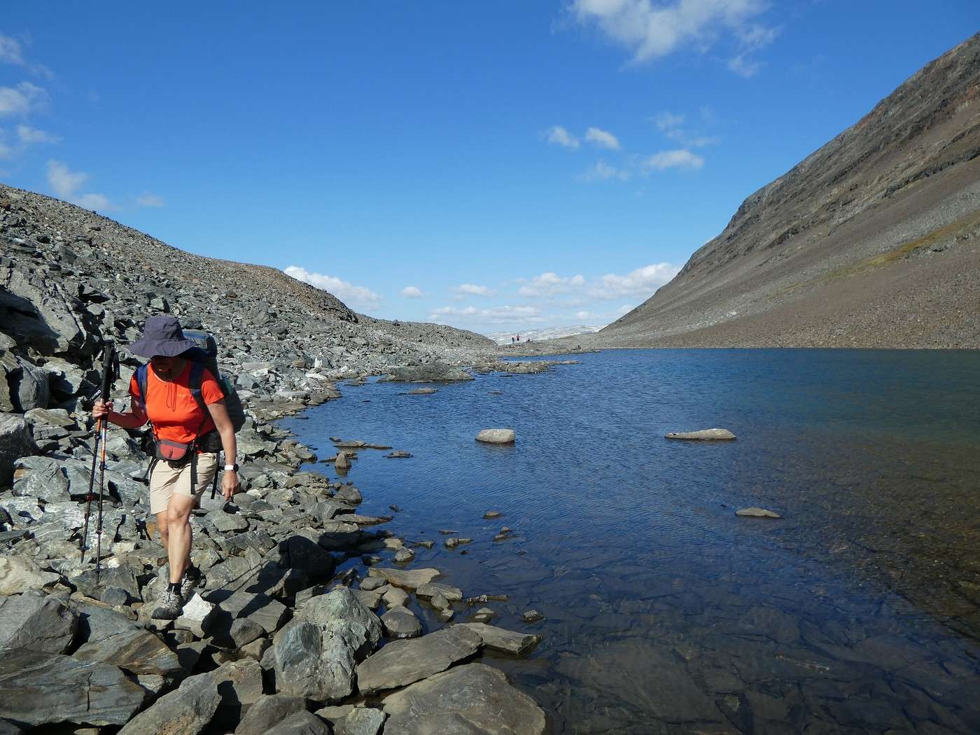
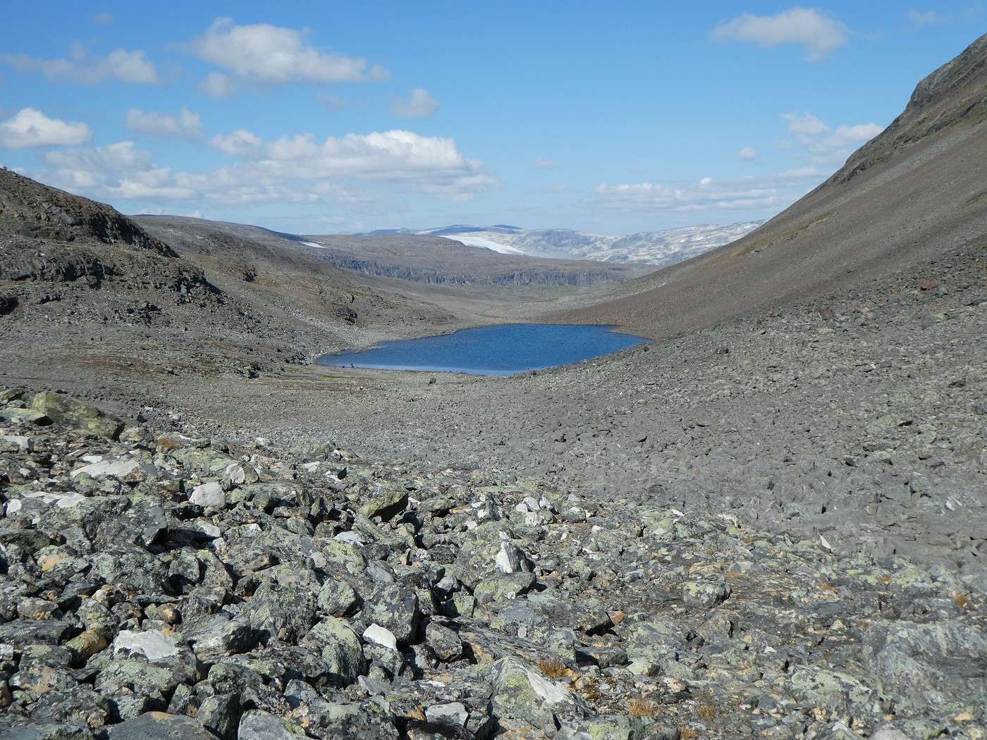
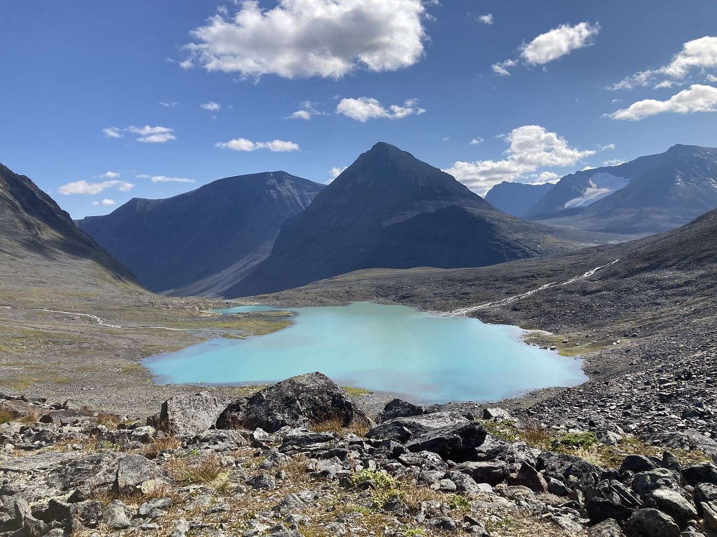
Then we spot the lake above the Nallo hut, and it’s breathtaking.


The descent is just as jaw-dropping 🤪!!


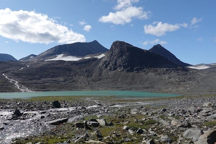
This lake is a wonder—waterfalls, water flowing from a glacier, a color that’s to die for, and impressive mountains. It’s truly one of the most beautiful landscapes I’ve ever seen. With that special satisfaction of having fully earned it!


Back to Swedish Lapland: Trek on the Kungsleden and crossing the Sarek

Calisson94 · 2026-06-16

06/08 – Tjaktja – Salka via Nallo (continued)

We have a picnic by the lake, completely in awe (well, at least I am). I would’ve loved to camp there, but that would eat into our buffer day, which I have other plans for, and it’s still early. So we hit the trail again and head down to Nallo hut. What a setting—apparently, it’s the most spectacular one.


The warden knitting on her terrace must’ve seen us coming, since the descent follows this roaring waterfall.

We take a quick break—it’s already 3 PM, and there are still 10 km to Salka, the next hut.

The valley we’re turning our backs on is the one that leads to Vista hut further east.


Our path lies this way.


After starting along this river, we had to skirt the huge Reaiddajavri lake and keep going across a plateau that felt endless! Luckily, the views were stunning!


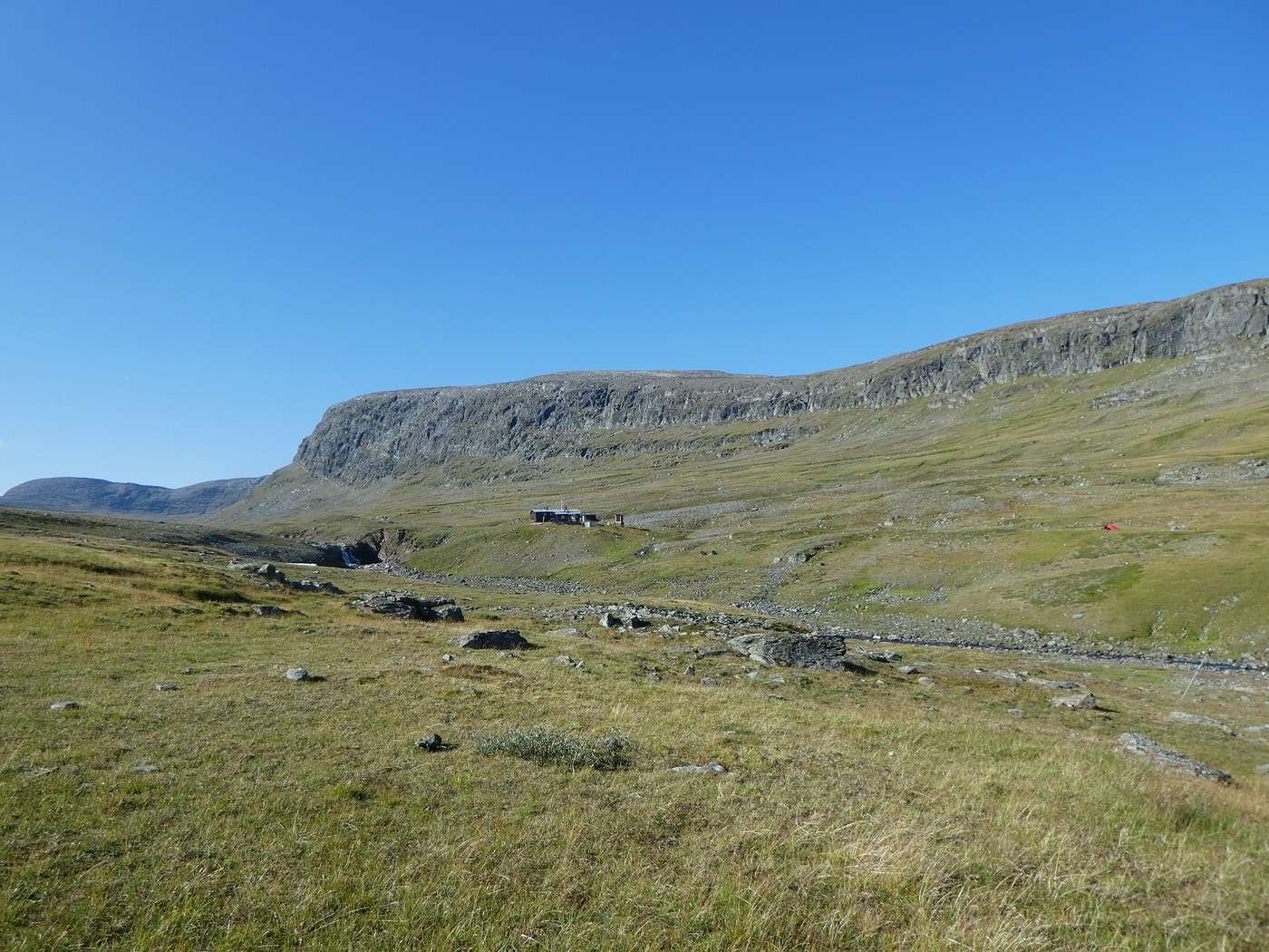
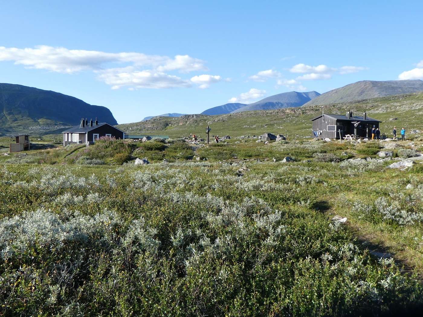
Phew, the plateau finally ends, and Salka hut comes into view.


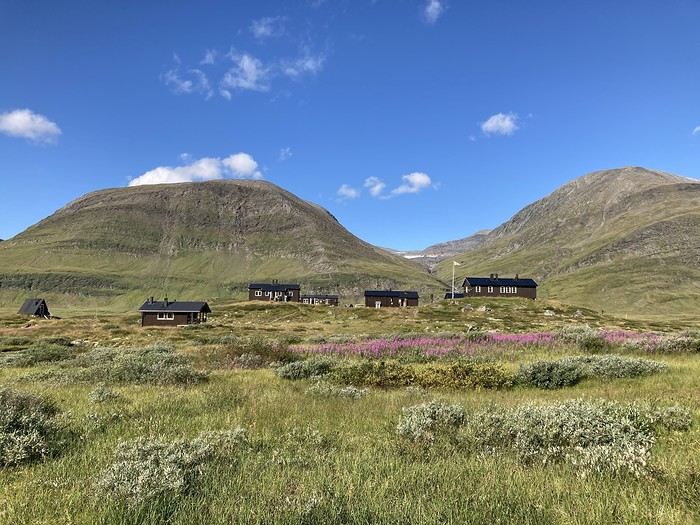
We decide to camp on the heights, next to a stream with this gorgeous view—and as a bonus, some friendly evening visitors.


Summary 20.2 km – 665 m elevation gain – a dream stage thanks to fabulous weather

Back in Swedish Lapland: Trek on the Kungsleden and crossing Sarek

Calisson94 · 2026-06-17

08/08 - Salka – a little past Singi + Round trip to Djalson Lake

Here’s what’s on the agenda this morning: a stop at the Salka hut down on the left and a climb up the valley to the right along the river to check out Djalson Lake above.


Once we reach the Salka hut, we leave our big packs behind since we’ll be coming back this way after the lake. Phew, feels great to hike without all that weight!


Before tackling the climb, there’s a river to cross. It looked long but not too tough. Too confident or not focused enough? Probably a bit of both—I didn’t pack my camera in its waterproof bag, and just before reaching the bank, my foot slipped and *splash* into the water! The splash wasn’t a big deal since it was warm, but my camera *did not* like its swim at all 😕!! It refused to turn back on for three days...

The climb to the lake is a bit steep but not too long. We went to the right of the river (the Salka warden told us it was easier).


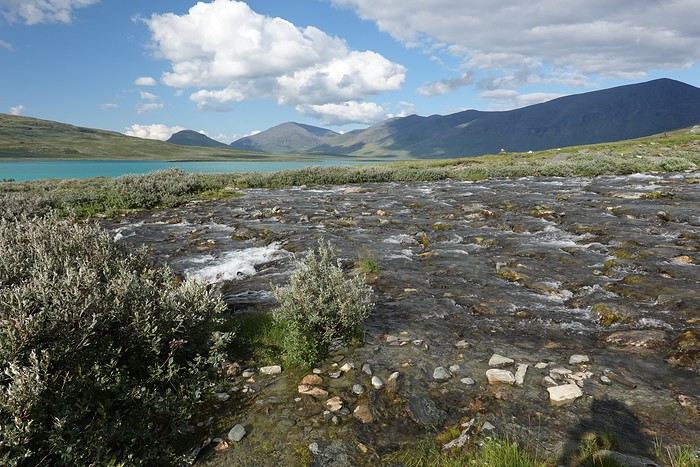
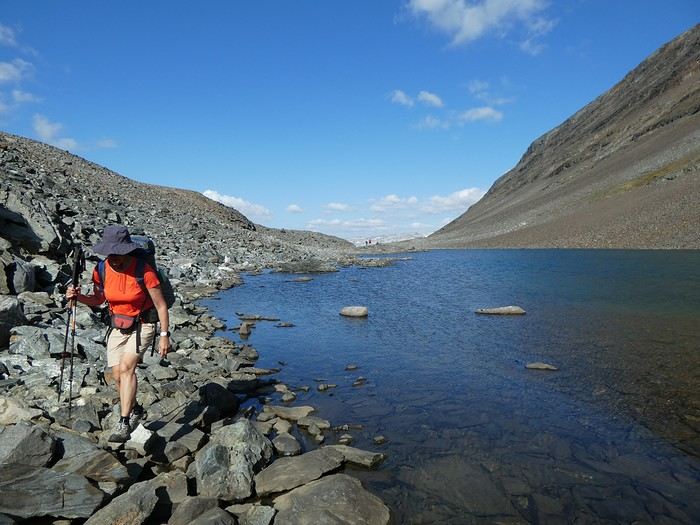
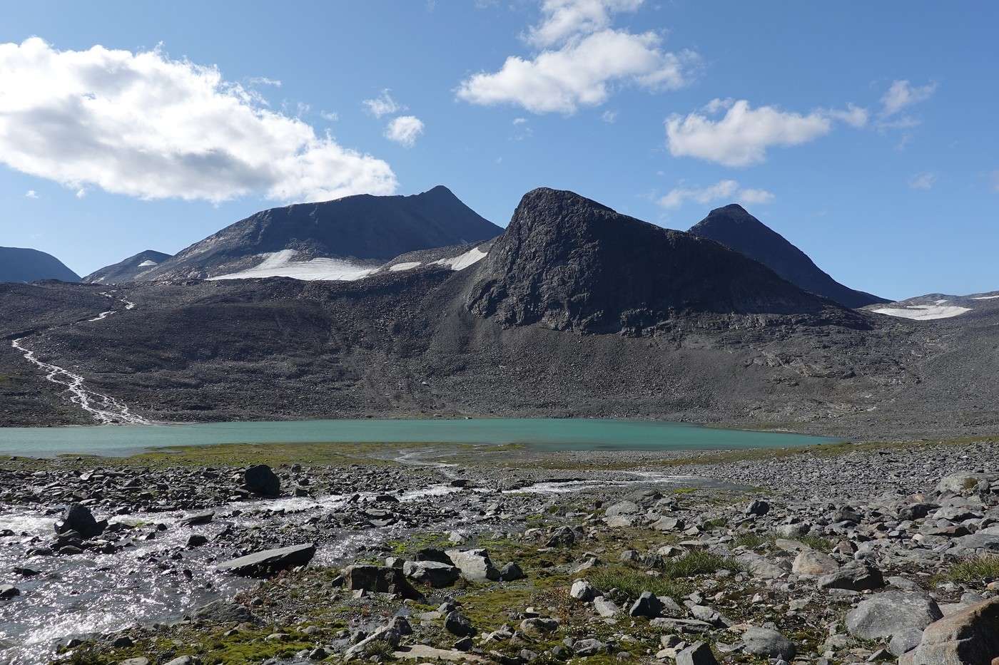
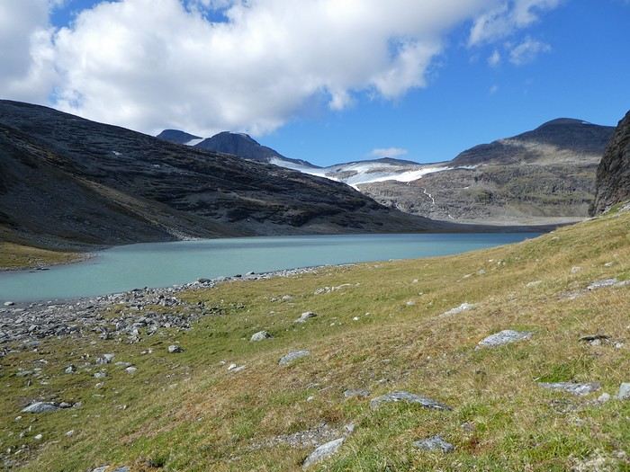
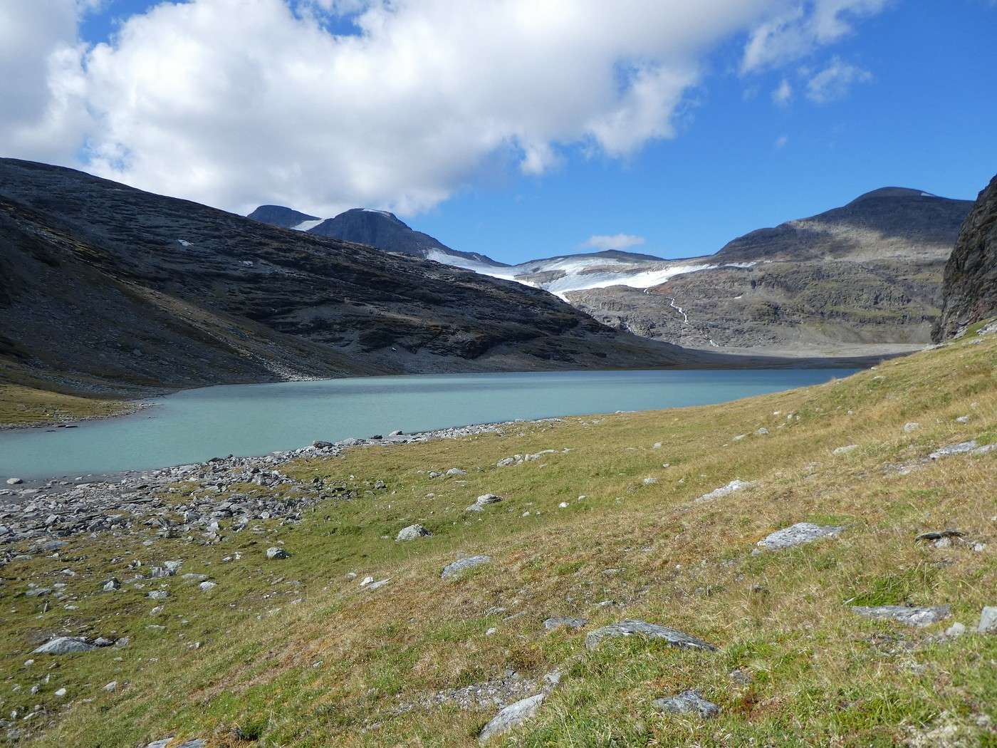
The lake is stunning, with those gorgeous turquoise colors as always.


That peak must be Salka Peak, where the view is supposed to be amazing, but the climb might be exposed.


Back to Salka for lunch, and then we’re off for the leg to Singi, still out of sync with the other hikers.


Could be worse places for a break 😎.


The trail starts off smooth but gets pretty rocky (doesn’t show in the photos, but I noted it was a bit monotonous).

Since the forecast for tomorrow isn’t great, we reluctantly skip the detour into Guobirvaggi Valley, which could’ve led to Tarfalla—a spot I was *super* excited about based on the photos. The thing is, the path down there is just a huge field of big rocks, and I’ve only seen trip reports going the other way (with some people even giving up). Plus, with rain in the forecast for tomorrow, I’m not exactly thrilled about the idea.

For the same reasons, we’re also skipping the option to climb Kebnekaise tomorrow (the trail from Singi is called Durlings Trail). And partly because we couldn’t find out if we’d need to rent crampons for the final ascent (which, in any case, can only be rented at Kebnekaise hut).

Here’s Singi:


We’ll only make a short stop here to get a head start on tomorrow’s leg. Because tomorrow, there’s a lake to cross, and we’d love to catch the late-afternoon boat.

But by 6:30 PM, after 45 minutes of walking, I call it quits, and we set up the tent.

Too bad the sun dipped behind the mountains—it’s *reeeally* chilly now. We still snack on peanuts outside with an epic view before retreating to the tent to cook.


Summary: 21.3 km – 710 m elevation gain

Back to Swedish Lapland: Trek on the Kungsleden and crossing Sarek

Calisson94 · 2026-06-18

08/08 - Singi to Teusajaure

Drip, drip... Darn, it's already raining. The bad weather arrived earlier than forecast. So, we have to pack up in the rain and stow a wet tent (and that’s no fun at all!!)

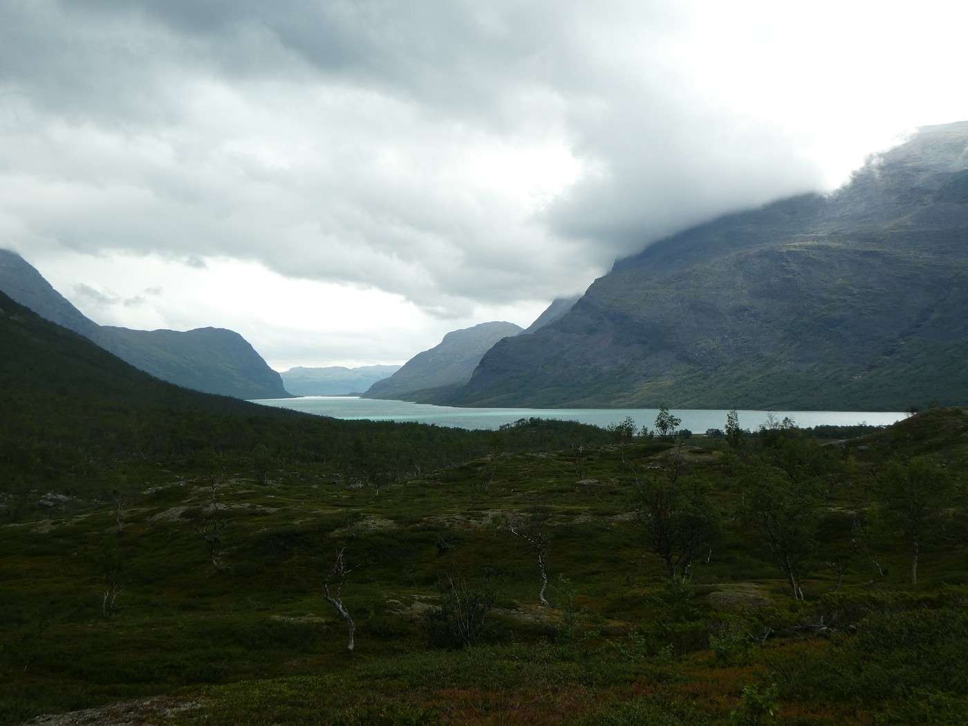
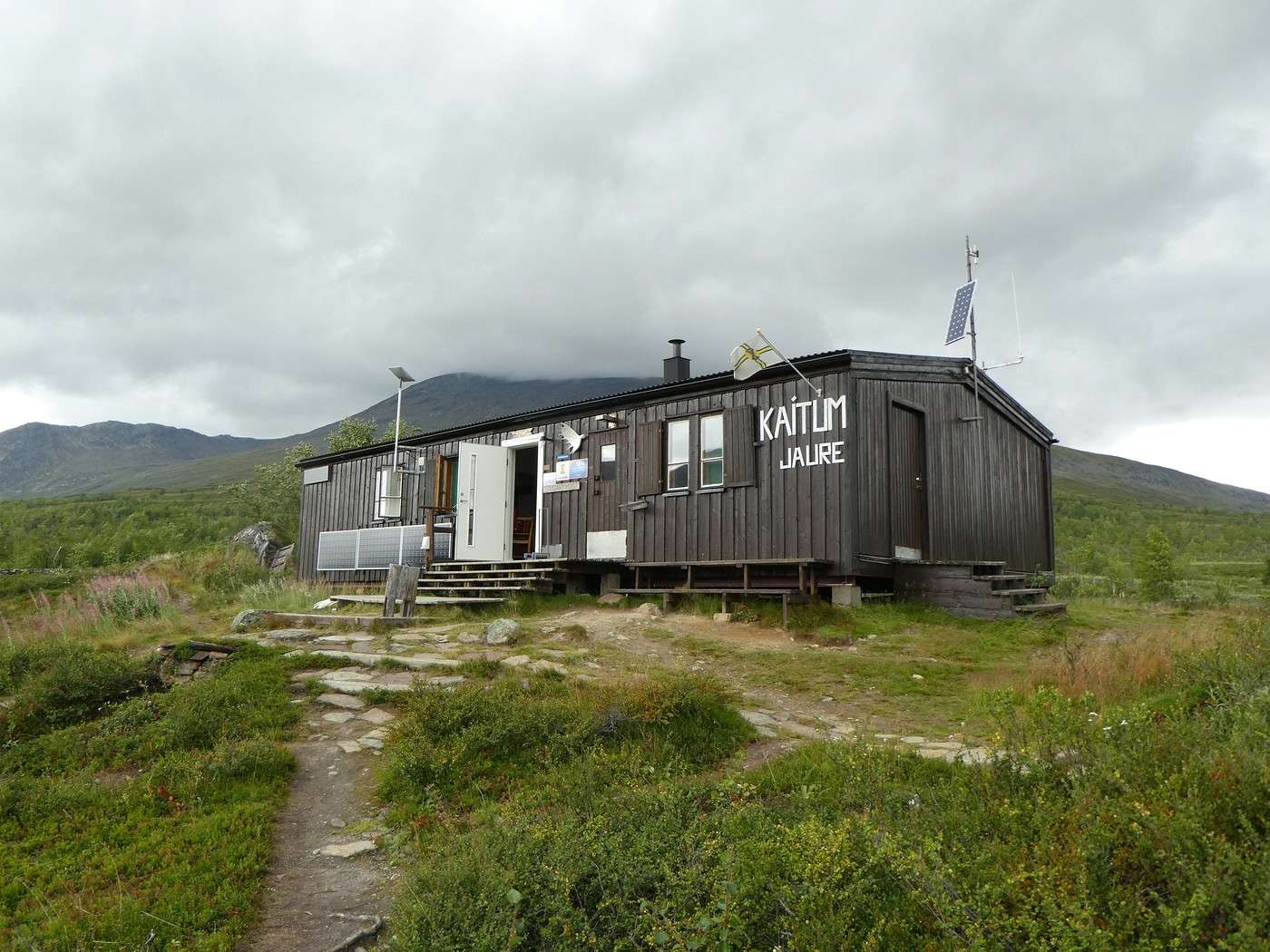
The leg to Kaitumjaure is pretty relaxed. The valley behind us is gorgeous despite the rain that comes and goes all morning. Then we follow a lovely river and find ourselves back in the forest.


The lake is in sight, which means the hut isn’t far now.


At 12:15 PM, we’re there.


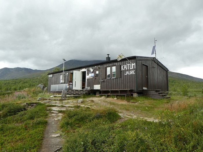
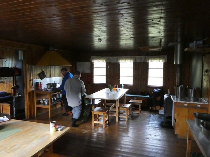
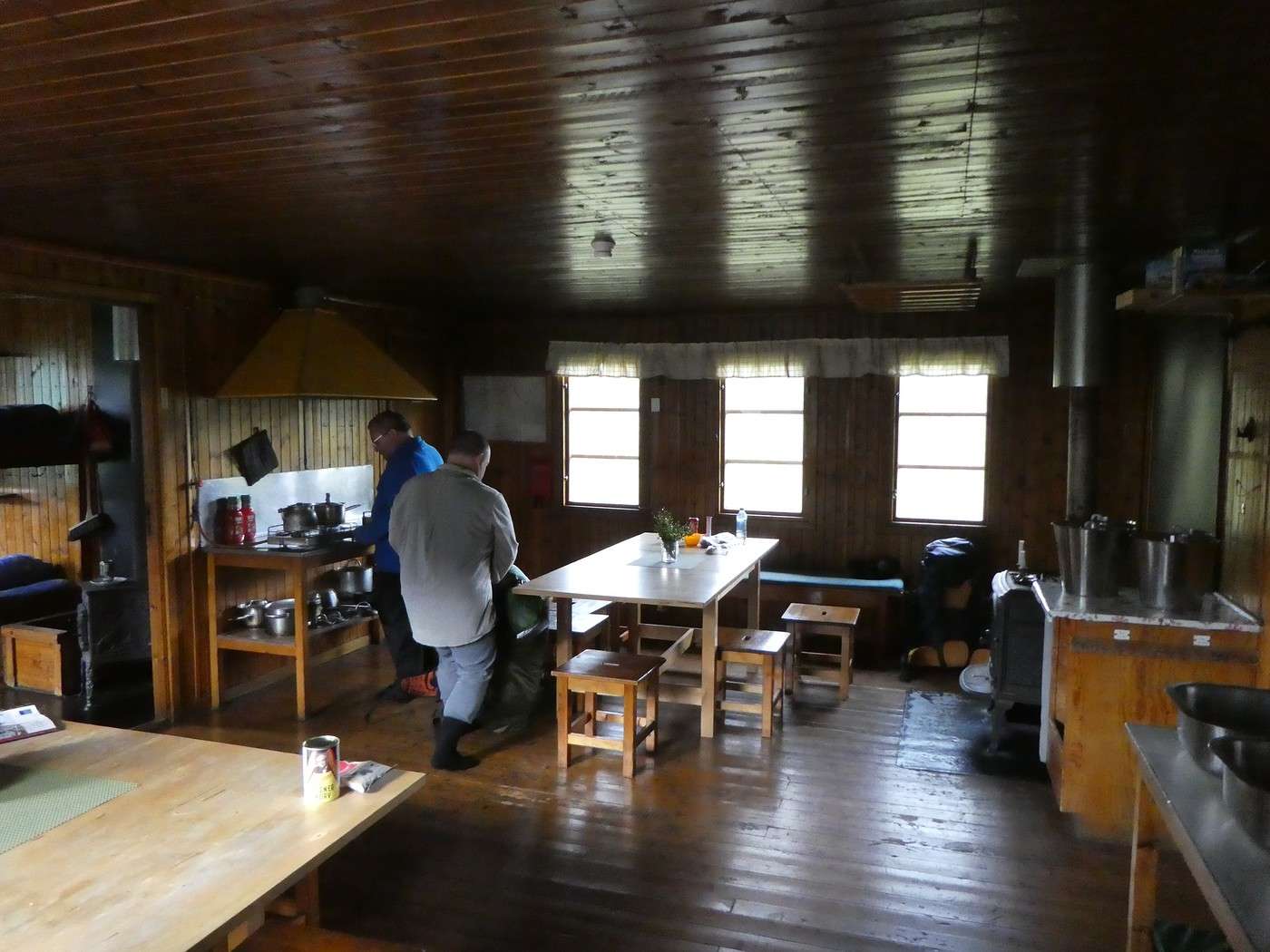
Since it’s not exactly warm, we pay the fee to use the kitchen and eat in the warmth.

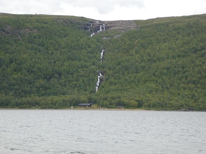
Around 1:30 PM, we set off again. The trail starts off nice, then it’s another endless plateau and a steep descent to Teusajaure to catch the 5 PM boat. Here’s the descent seen from the other side of the lake!

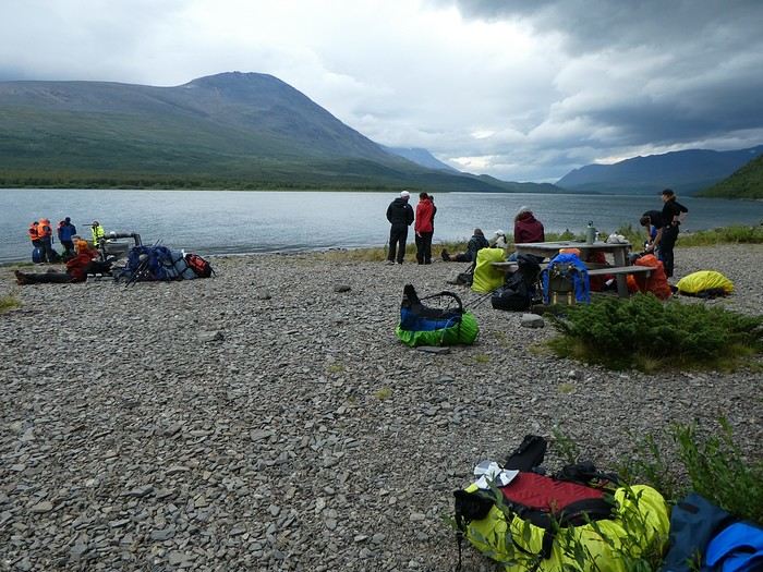
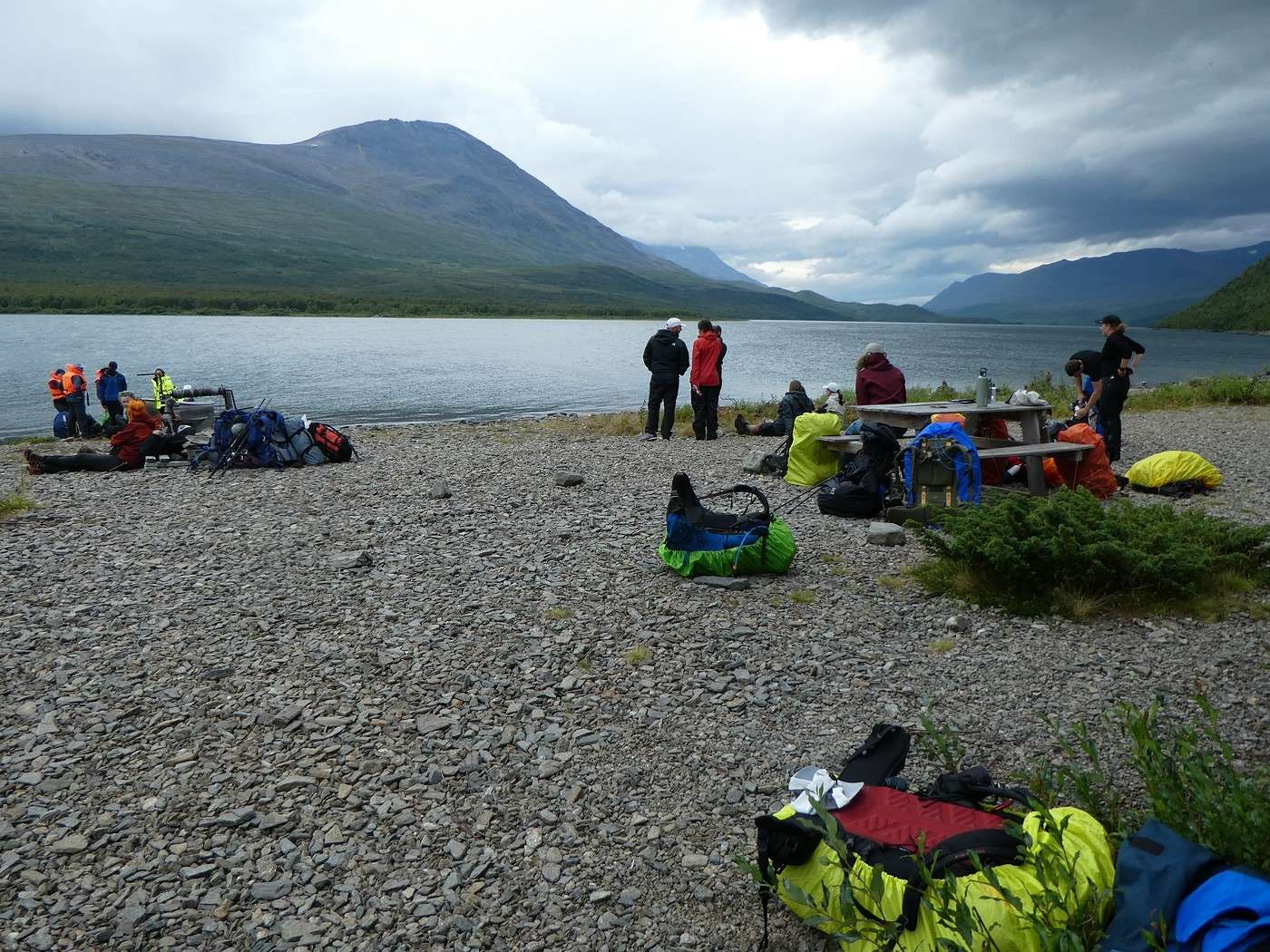
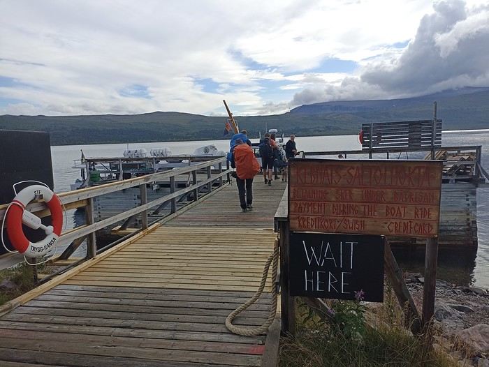
Phew, 4:50 PM, we’re there—well, not quite alone! There’s a queue at the little booth where you get the tickets,


and the beach where you board is "packed."


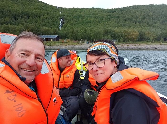
The boat is actually a motorized rowboat that carries 3 people at a time. With the wind and quite a crowd waiting, we’re not sure if we’ll make it across tonight.

For those with the means, there’s the option to cross by helicopter.

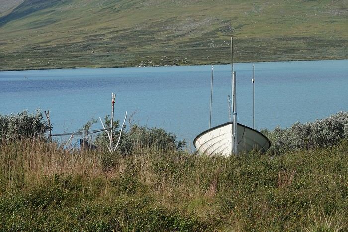
For those with less money and/or muscles, there are 3 rowboats. But you have to follow the rule of always leaving at least 1 boat on each side. Right now, there’s only one on our side. That means someone has to cross to get the one on the other shore, bring it back, and then finally leave one on the Teusajaure side.

Given the distance and the wind, we never even considered that option 😏!!

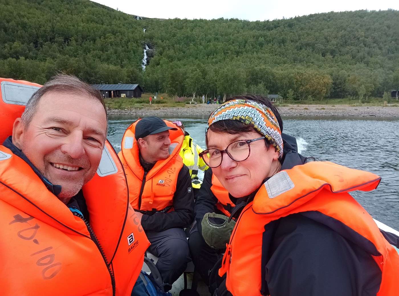
Eventually, the rotations continue, the crew goes from 2 to 1 person to ferry 4 people at a time, and our turn comes around 6:15 PM.


We set up camp a bit above the lake (a spot that turns out to be mosquito-infested), then head back down to eat dinner by the water facing the dock.


During our meal, we see a young guy come to get the rowboat, then go fetch his two friends who stayed on the other side to bring them across. What courage—he really struggled with the wind!!

Tomorrow marks the end of the first part of the Kungsleden. We’ll have to get up a little early to catch the early afternoon bus.

Summary: 20.6 km – 412 m elevation gain

Back in Swedish Lapland: Trek on the Kungsleden and Crossing Sarek

Calisson94 · 2026-06-20

09/08 - Teusajaure - Vakkotavare (end of the 1st section of the Kungsleden)

As planned, it rained for much of the night, and in the morning, it was still raining.

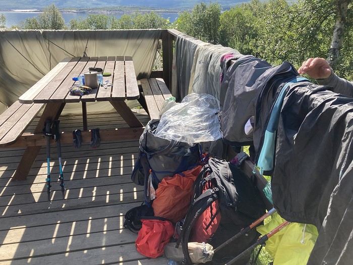
We took advantage of a lull to pack up.

This morning, we didn’t dawdle—the alarm went off at 5:45 AM (ugh...). It was raining, but at the same time, it was warm.

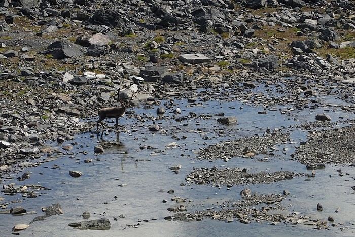
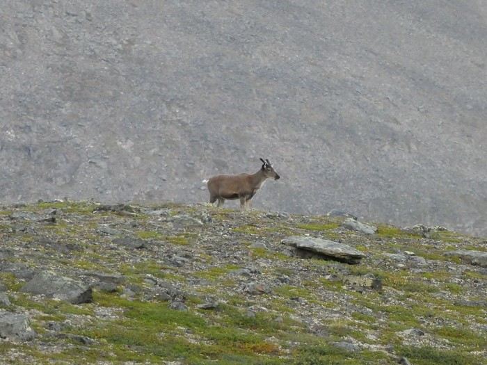
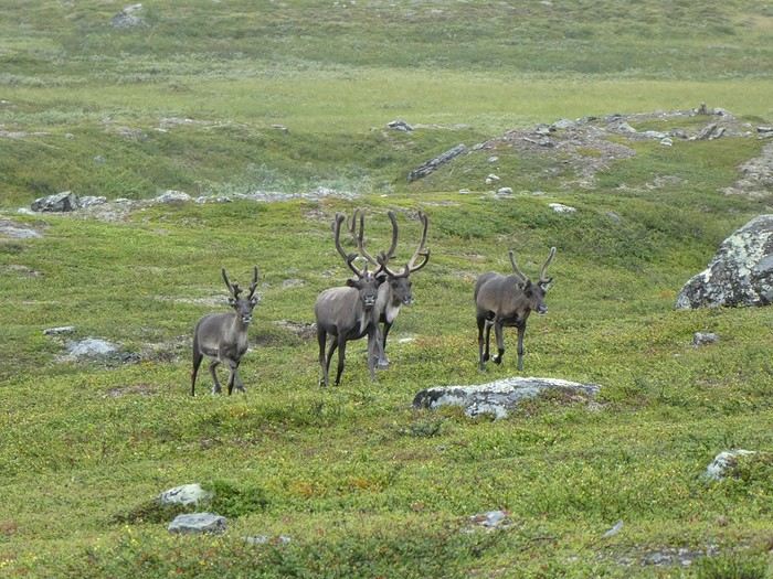
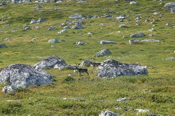
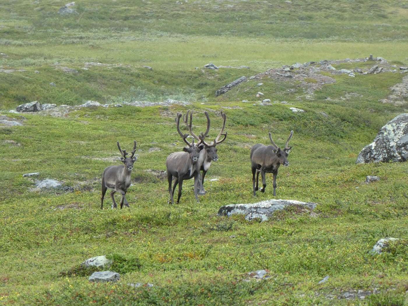
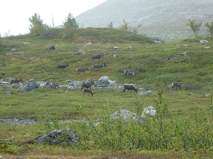
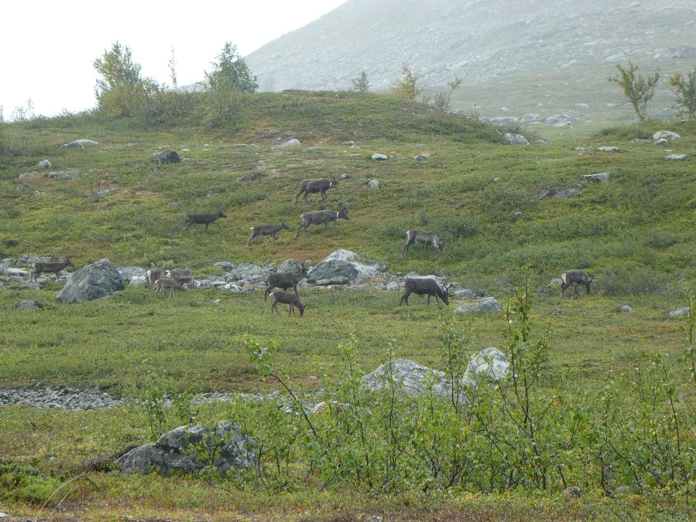
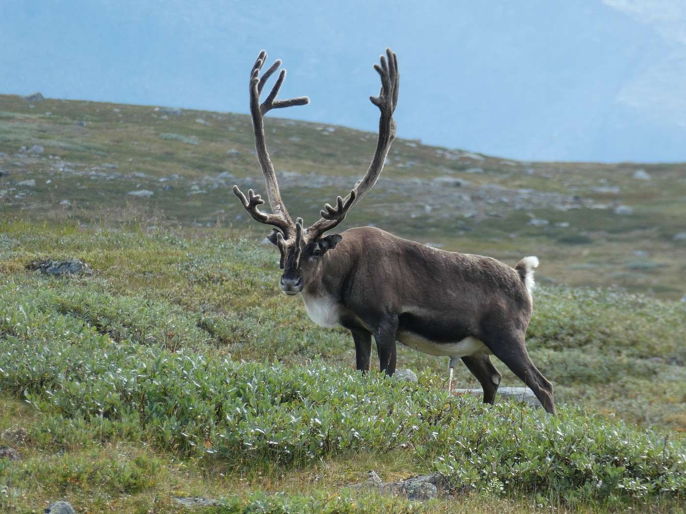
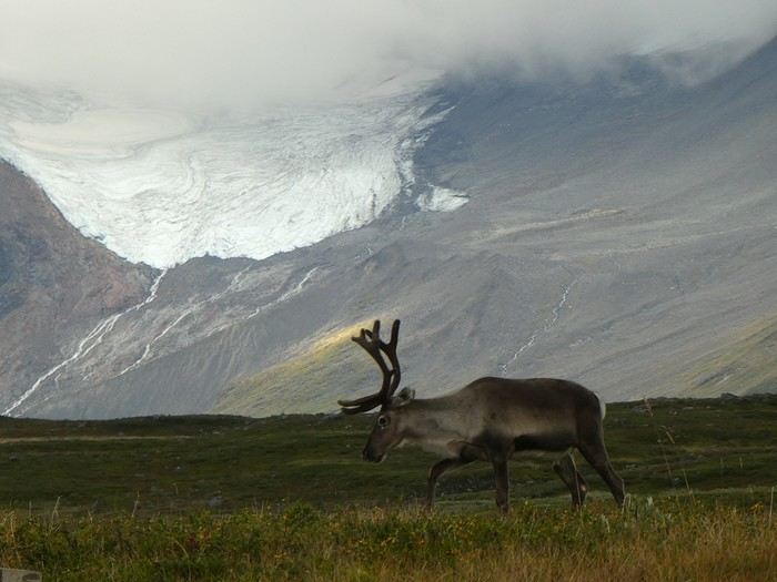
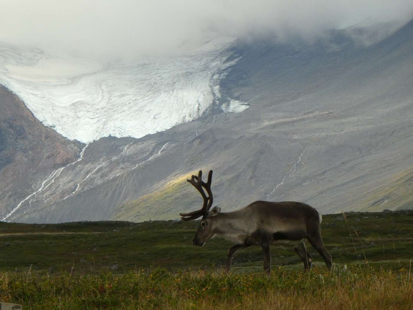
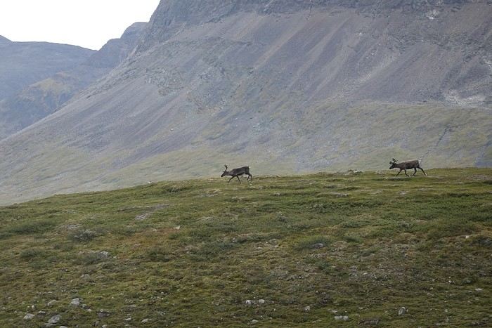
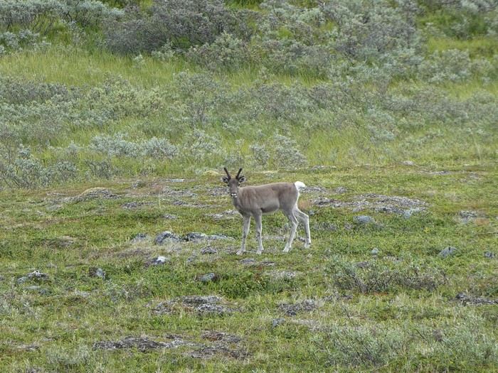
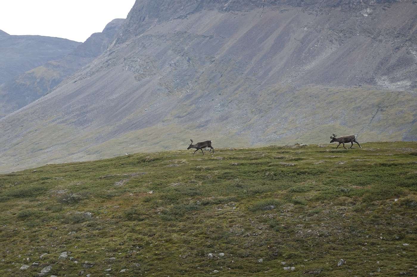
The climb onto the plateau wasn’t too tough. After 3 km, we saw our first reindeer of the day. It must be a grazing area because we’d see quite a few—some tagged, others not, young ones, solo ones, groups. These encounters made the hike more enjoyable.


After walking through an exclusively grassy environment, we came back to the rocks.

The bad weather was now behind us. The huge Lake Suorvajaure was in sight—after the descent, we’d arrive. Then we’d need to take a bus to follow the lake to Kebnats and a boat to cross it to Saltoluokta.


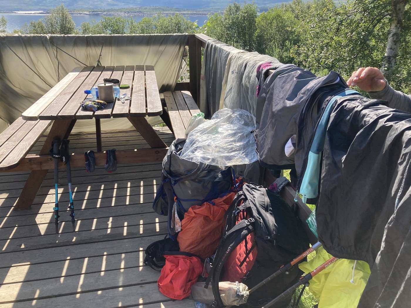
Around 12:15 PM, the stage—and this first section of the Kungsleden—was over. Of course, there was a gathering at this spot, but it was nice: a father and son congratulating each other, a young Italian couple we’d more or less followed during the hike, and plenty of other people. Since we weren’t late , we took advantage of the wait to dry the tent and our rain gear and have a relaxed lunch in the sun.


The bus was a little early (2 PM instead of 2:10 PM), and everyone could board, even those who hadn’t booked. In this direction, the bus always makes a 30-minute stop at Stora Sjofallet, where there’s a cafeteria with *very* tempting treats after all these days of hiking rations!! So, a well-deserved treat.

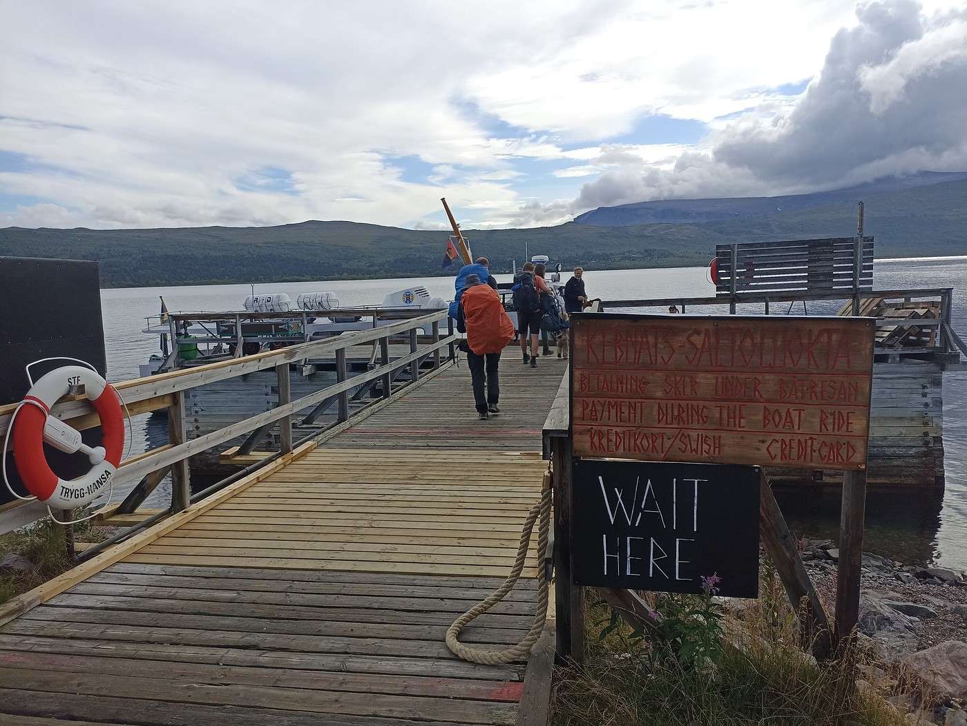
Then it was off again to Kebnats, where the boat that shuttles to Saltoluokta is synced with the bus. No waiting—we got off the bus and straight onto the boat.


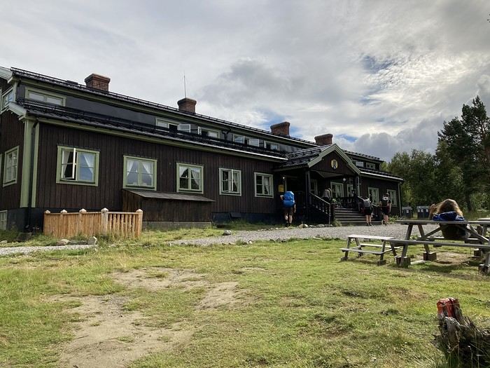
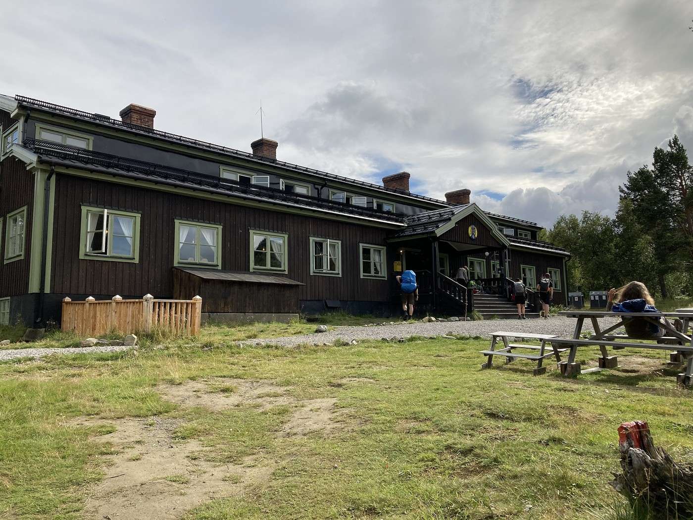
So here we are at the huge Saltoluokta lodge for 1 or 2 days since the weather forecast isn’t great.


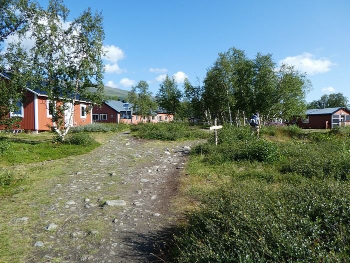
This lodge sees a lot of people, and since it’s the weekend, there are Swedes who come just to spend the weekend here. For us, it was a chance to catch up with the young Italian couple, learn that the girl wasn’t feeling well, and that they’d unfortunately have to end their trek. It was also nice to chat with other people after several days in our own bubble.

We paid the fee to camp next to the lodge. The tent spots were a bit meh, and it took us a while to pick ours.

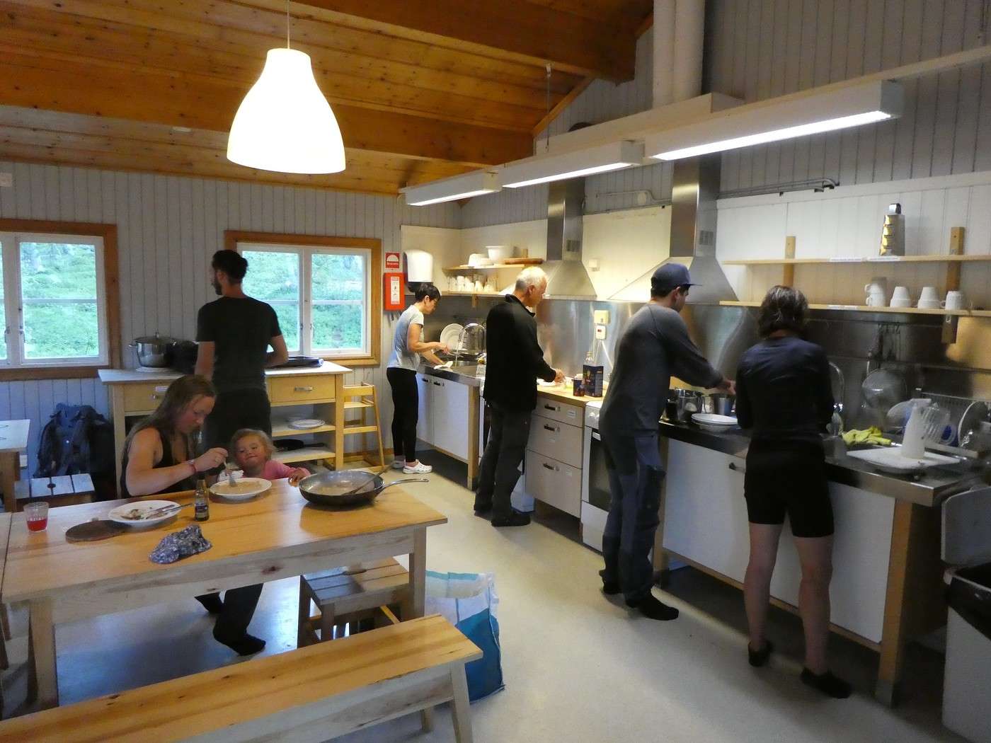
Now, off to the SHOWER!!! It took us a bit to figure out that the only showers available were in the sauna—no private cabins or changing rooms, everyone naked! (No, no, they’re not mixed 😛!)

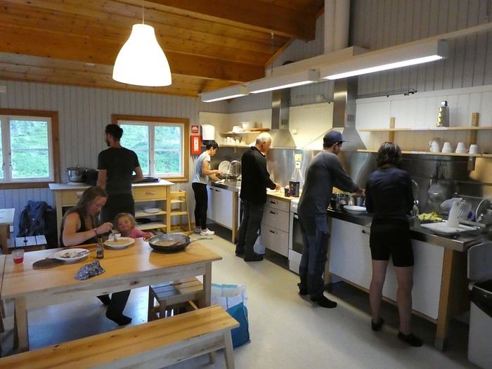
We took the chance to wash some clothes, then had a little break in the main building with a well-earned beer before heading to the campers’ kitchen. There weren’t many people around except for three couples with young kids who, by themselves, ensured a *very* high noise level.


Little by little, the kitchen filled up. When we left at 8 PM, it was packed. A quick walk to the lake and back to the tent.


With the weather forecast predicting two days of not-so-great conditions, we decided to take a rest day at Saltoluokta. That should let us climb Skierfe in three days with better weather. We’ll have one day of leeway for the rest of the trek.

Day’s summary: 14.4 km - 518 m elevation gain

Back to Swedish Lapland: Trek on the Kungsleden and crossing the Sarek

Calisson94 · 2026-06-22

10/08 – rest day in Saltoluokta + round trip to the Sámi village of Pietjaure

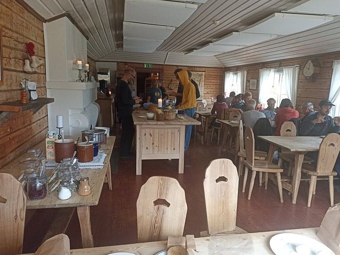
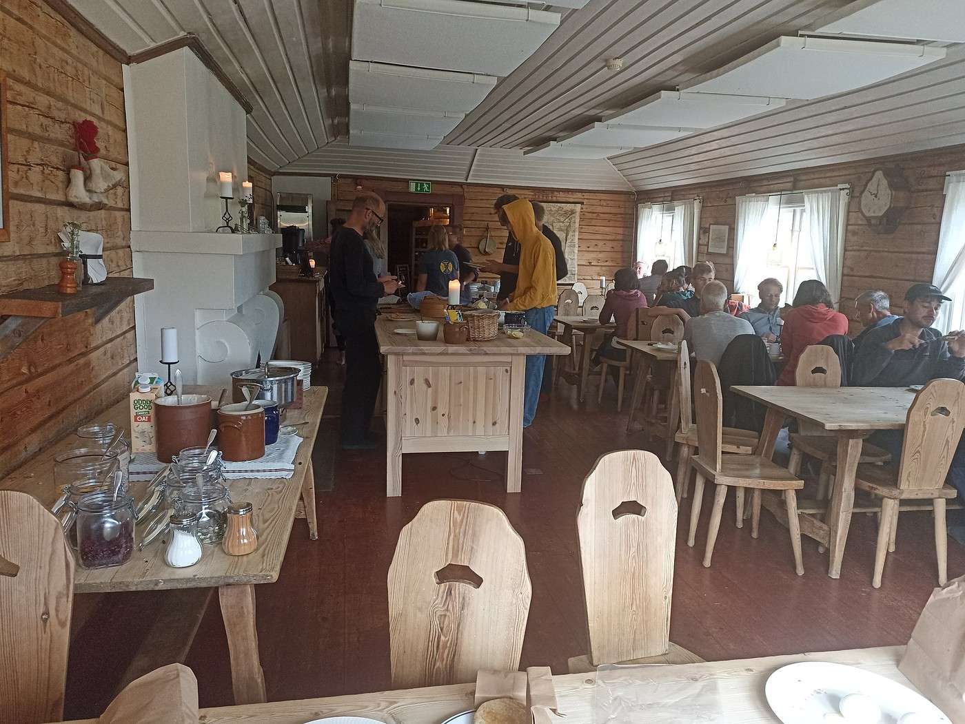
This morning our stomachs are thrilled!! We had breakfast at the lodge: it’s a buffet and it seemed absolutely enormous!


Compared to our usual morning rations of cereal with a few almonds/cashews and some water just to avoid choking (yeah, I know, sounds appealing😏), this was a real change!!

I spot a woman we chatted with last night—she spent several days in the Sarek, in the northeast part (unfortunately not our route). She’s deep in conversation (in Swedish) with a group of naturalists over a map of the Sarek. So, I join in, and through her, I gather some super interesting info from these Sarek experts: like how you really need to stay pretty high after Skierfe if you want to take the upper route, that there’s a very accessible path along the Rappaladen, and also that there are bivouac platforms above the Skarki cabin.
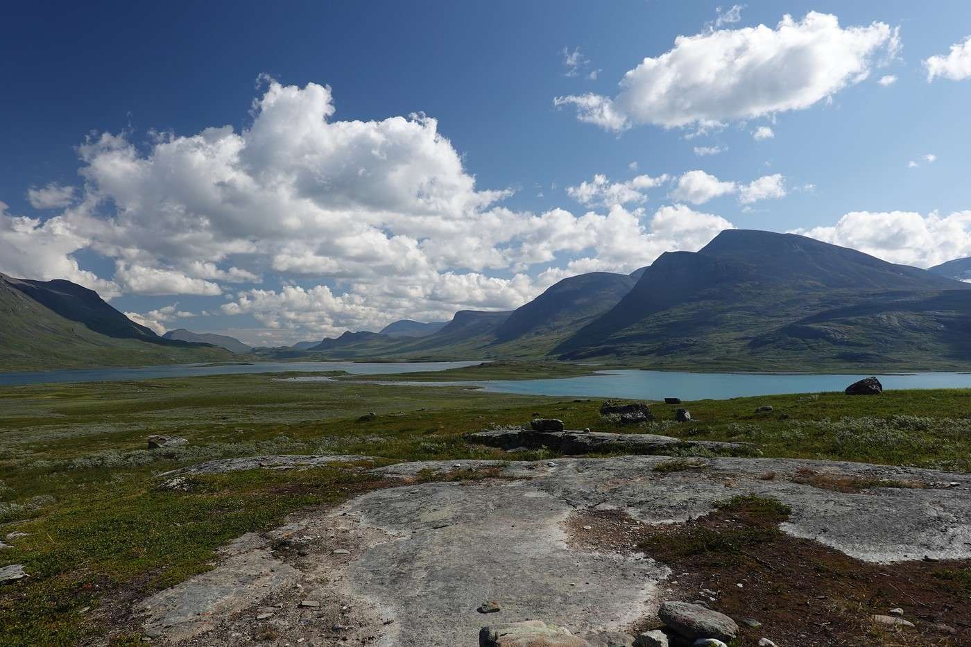
The weather’s gray, but we still head out for a walk to the Sámi village of Pietjaure, where there’s a local café.

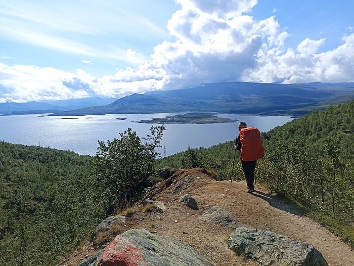
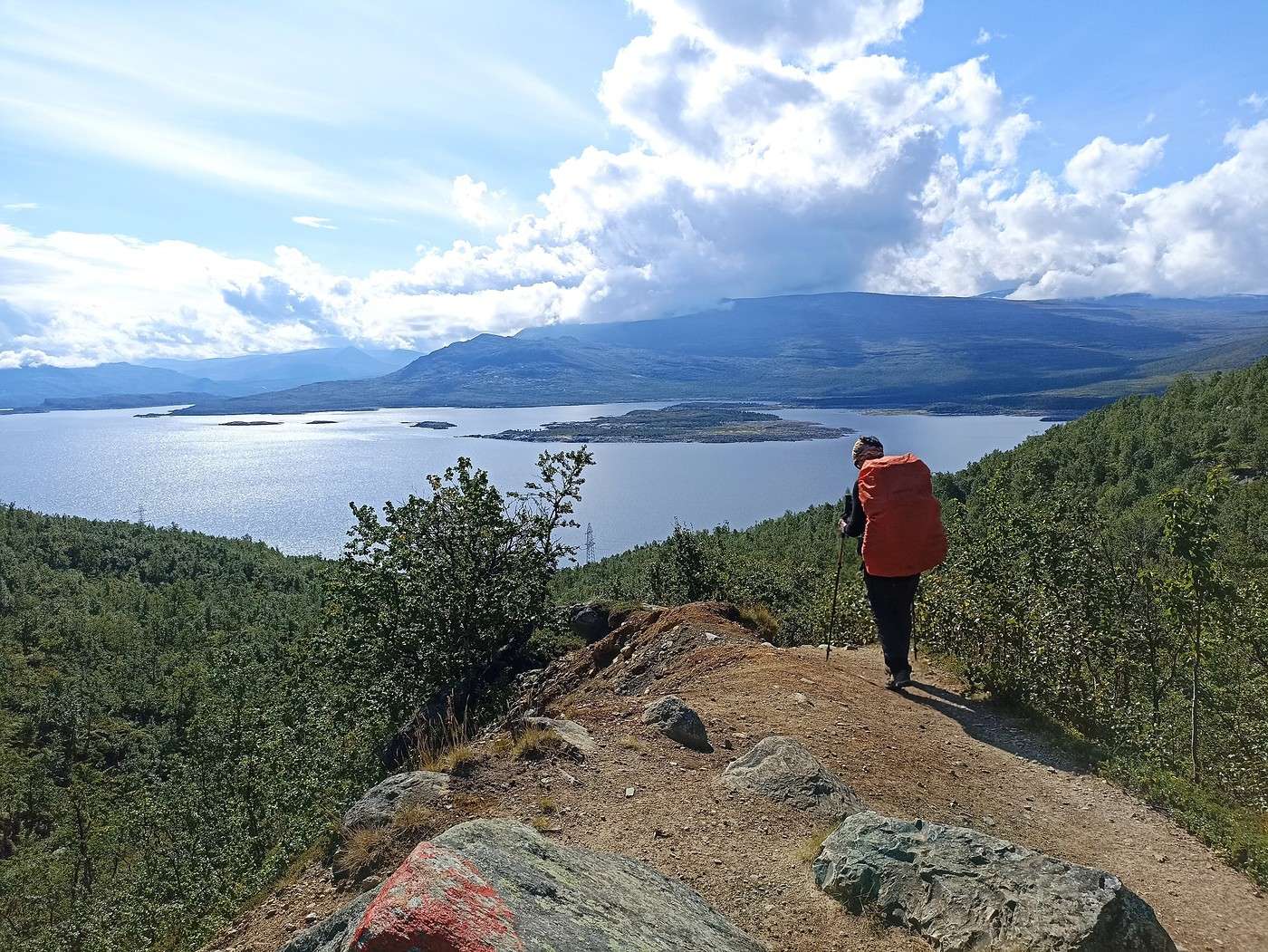
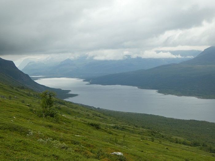
The trail climbs, giving us a great view of the lake,


and it’s possible to continue to the Lulep Gierkav summit, but since the cloud ceiling is low, we cross the hill and head straight down to the village.
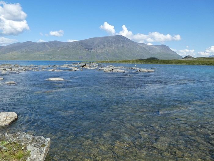


What a lovely café!

The return trip was in the rain.

A quiet end to the day: sauna, shower, beer, a little chat with a young French woman arriving from Kvikkjok who fills us in on the next day’s stage, then cooking our pasta in the campers’ kitchen.

Round trip to the Sámi village: 12 km and 450 m elevation gain.

Back to Swedish Lapland: Trek on the Kungsleden and crossing Sarek

Calisson94 · 2026-06-23

11/08 – Saltoluokta – Sitojaure

It rained a good part of the night. At 7 AM, the weather forecast promised a lull until 10 AM, so we rushed to breakfast to be able to pack up before the rain returned.

We’d put our shoes in the dryer overnight and got them back completely dry (small detail, but huge happiness!)

We set off at 10 AM under a light drizzle. This extraordinary weather would follow us for quite a while, but the trail was good, and we made good progress.


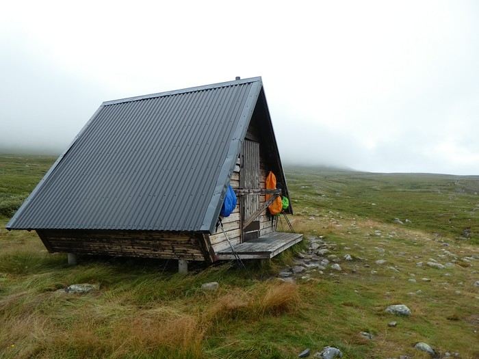
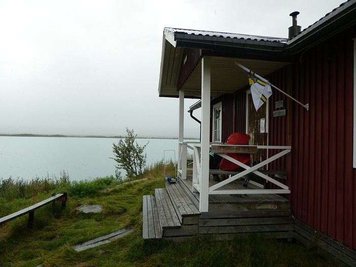
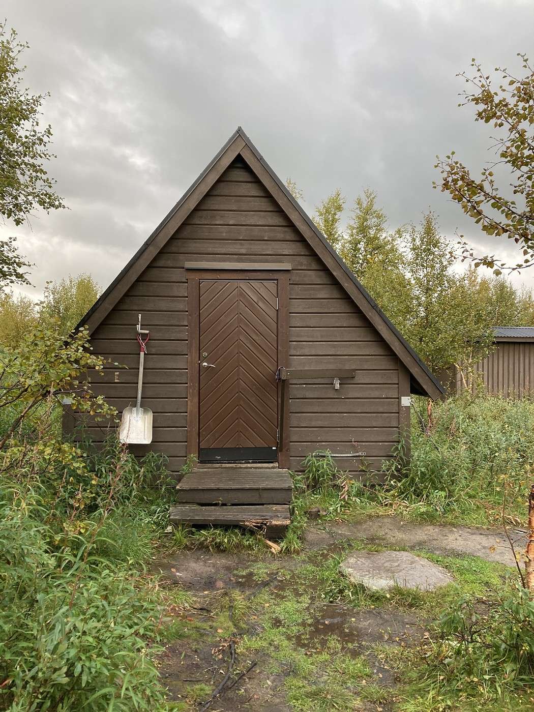
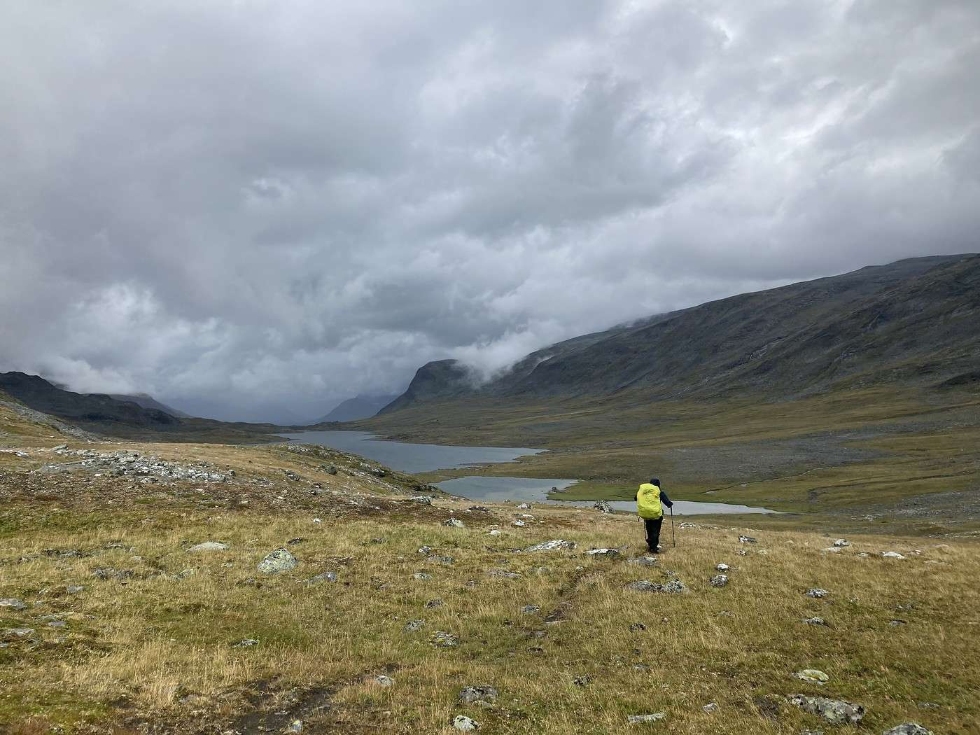
We took our lunch break in this cabin, but we didn’t linger because it was cold inside. Yeah, the shorts-and-T-shirt days seem like a distant memory now!


We were lucky to catch a break in the clouds—the landscape was really nice, with a mini valley and reindeer on the hills.


Then the sky clouded over again, the rain came back, and it stuck with us until we arrived.

At the end of this stage, there were two lakes to cross—the question was: tonight or tomorrow? (Yes, we hikers have *major* concerns like this 😛)

Unlike the other crossings, this one was operated by a Sámi family.

The daughter encouraged us to cross that evening, explaining that near the refuge, we’d have to pay fees, the spots were less nice, and tomorrow, we’d have to pack up in the rain to make the boat on time. She also mentioned a winter cabin on the other side of the lake where we could take shelter. So, we let ourselves be convinced.

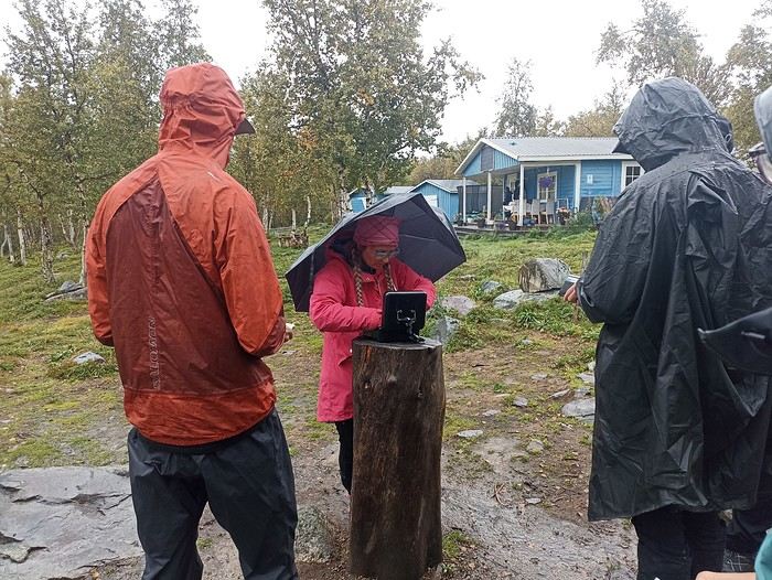
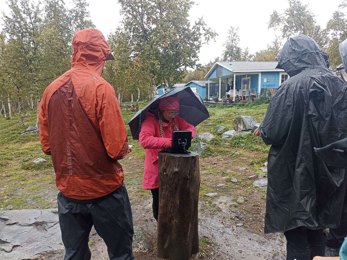
Little tip: you can’t pay by card here. You *can* do a bank transfer, but that requires getting a signal. Luckily, we had cash… The girl and her cash box 😏


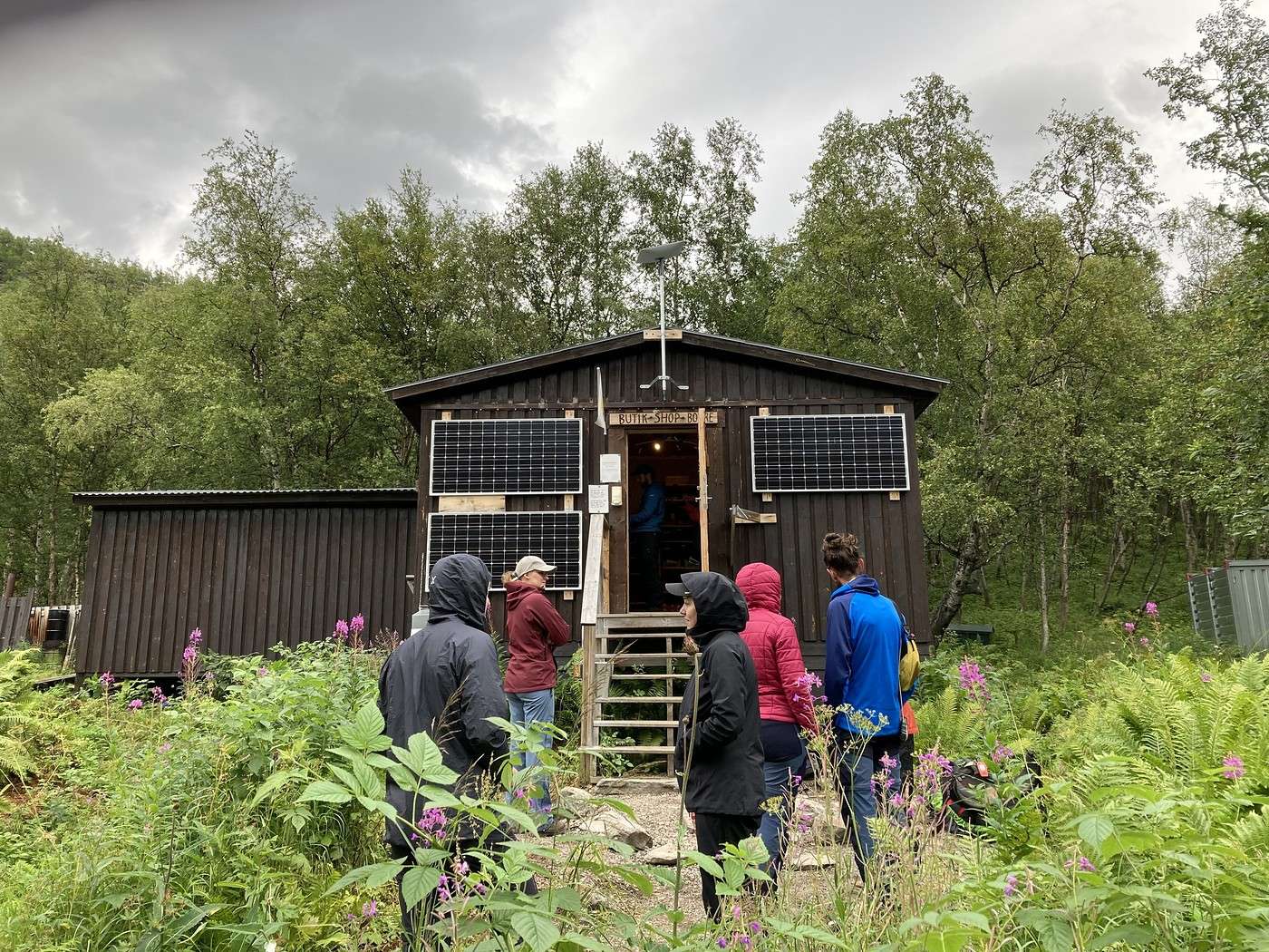
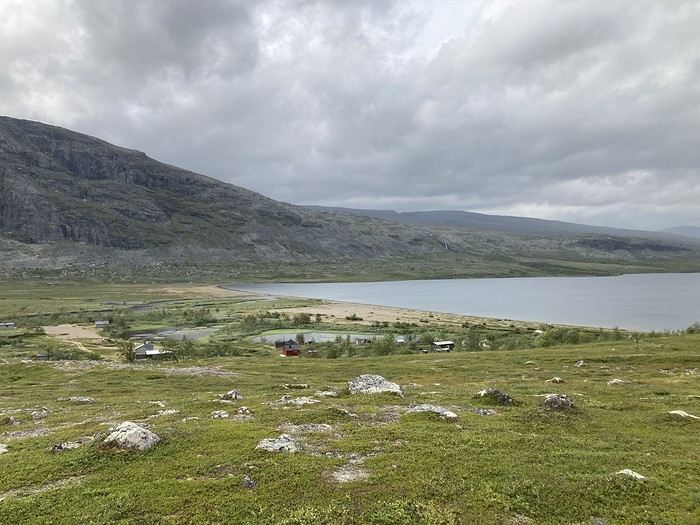
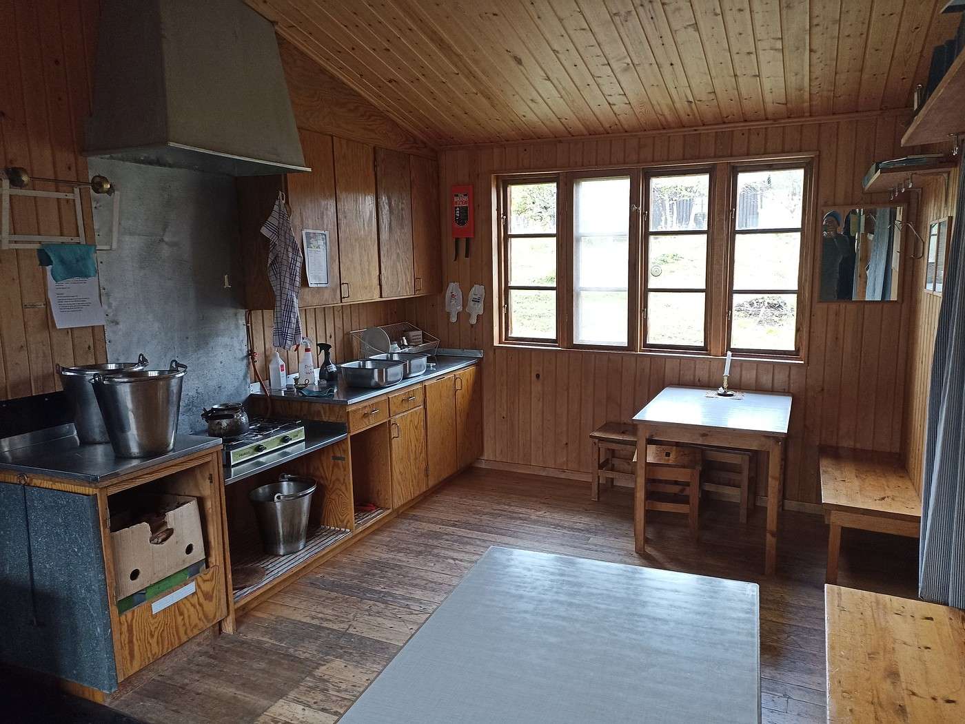
While waiting for departure, we headed to the refuge to buy some *wazas* (snacks), but there was nothing for sale there.


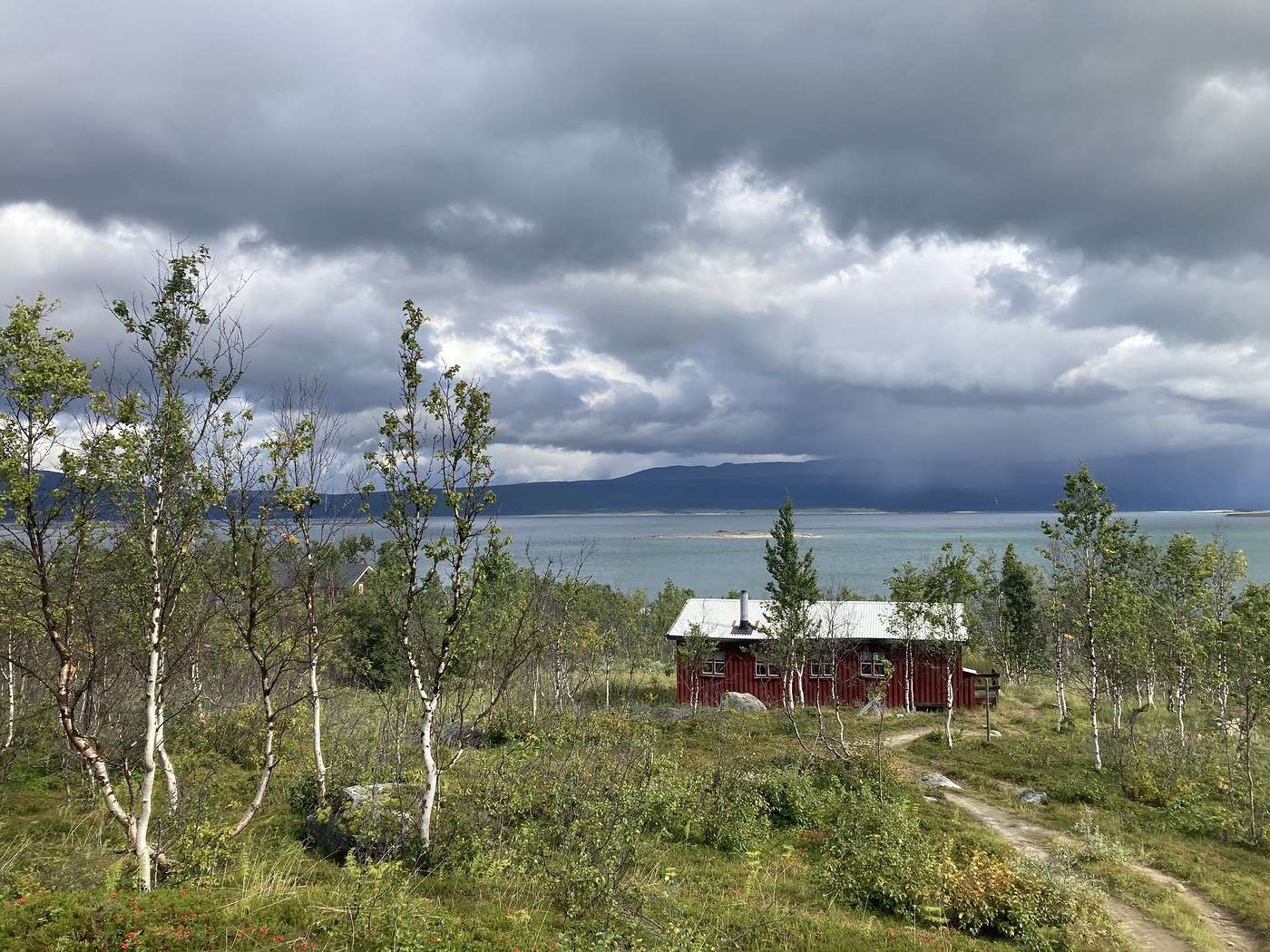
It had a nice location by the lake, but yeah, the campsites didn’t look amazing. It rained during the crossing, rained when we arrived, and the other hikers on the boat kept going. Perfect—no overcrowding in the winter cabin. We pitched the tent quickly and took refuge in that timely cabin.


There were already three young people inside; we recognized one of them as the guy who’d come to get the boat at Teusajaure. There was enough room for all five of us, and we appreciated being dry while cooking.

Back at the tent, I had a bit of a morale dip with all the rain and started questioning whether venturing into Sarek tomorrow was a good idea. That gave JM a nice morale dip too.

We’ll see tomorrow.

Summary: 20.8 km and 520 m of elevation gain.

Back to Swedish Lapland: Trek on the Kungsleden and Crossing the Sarek

Calisson94 · 2026-06-29

12/08 – Sitojaure – Skierfe - So, Sarek or not Sarek?

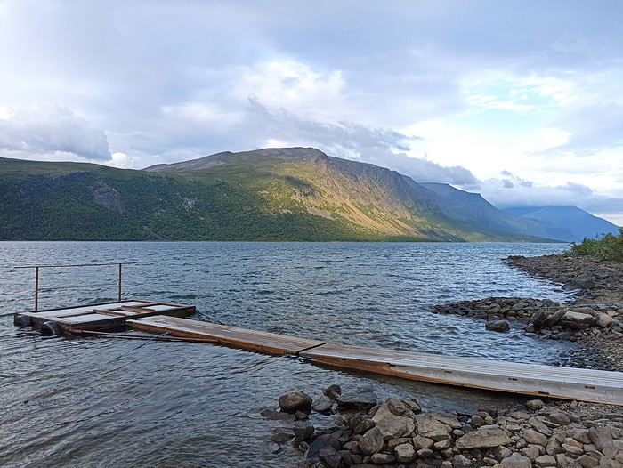
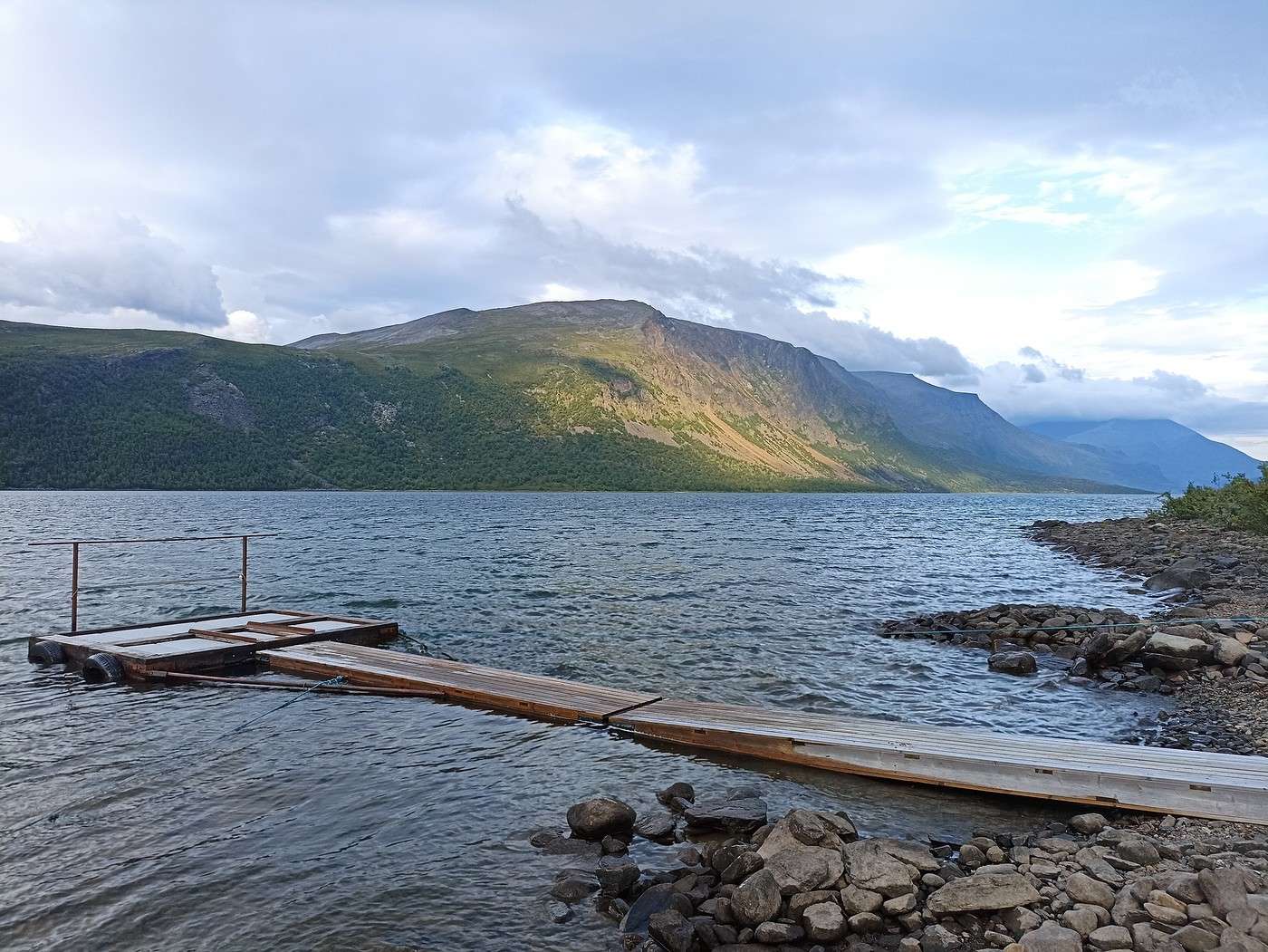
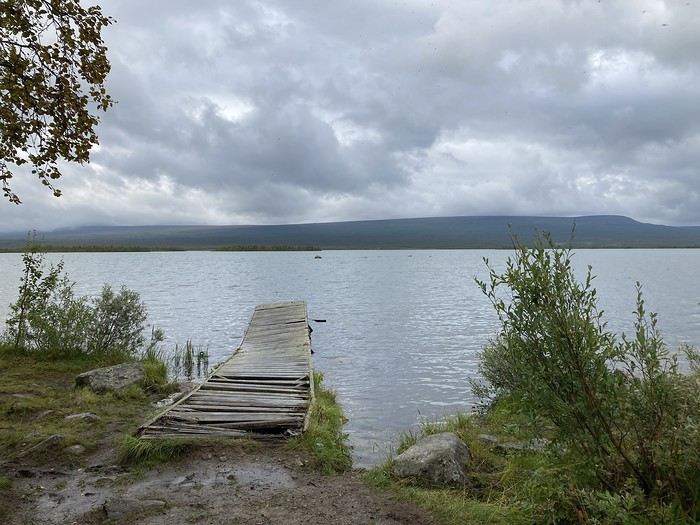
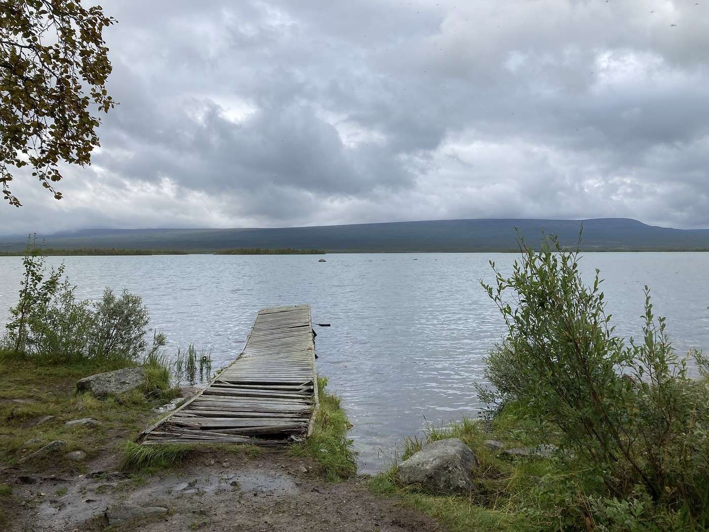
The night was really damp! Before packing up, I head back to the dock during a lull to snap a few photos. That dock’s a bit wobbly 😏
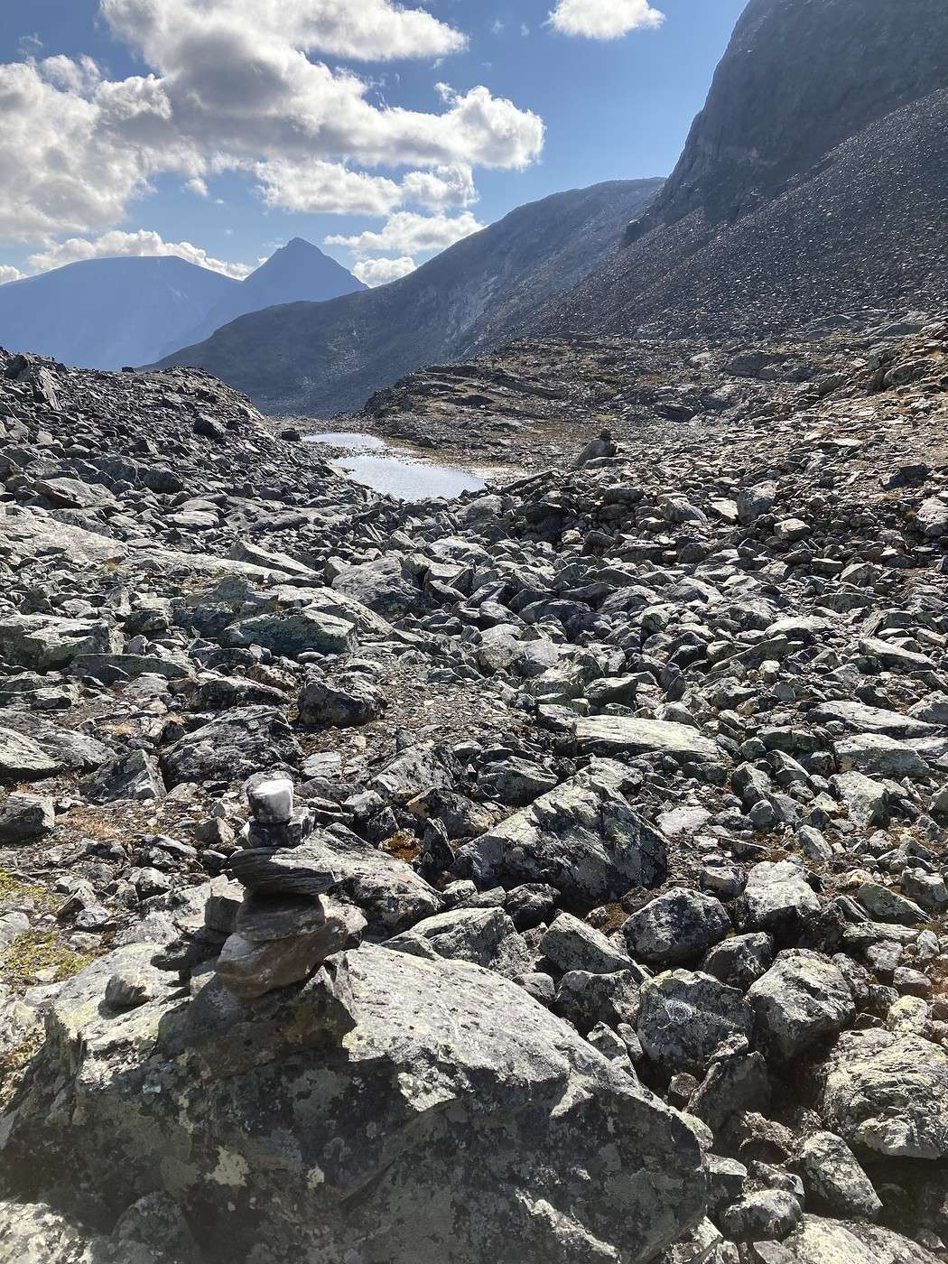
8:50 AM and we’re on our way. Quickly, we have to gear up again for the rain—fog and wind join the party too (great).
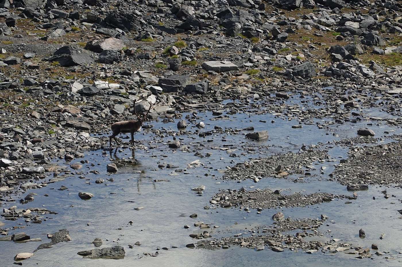


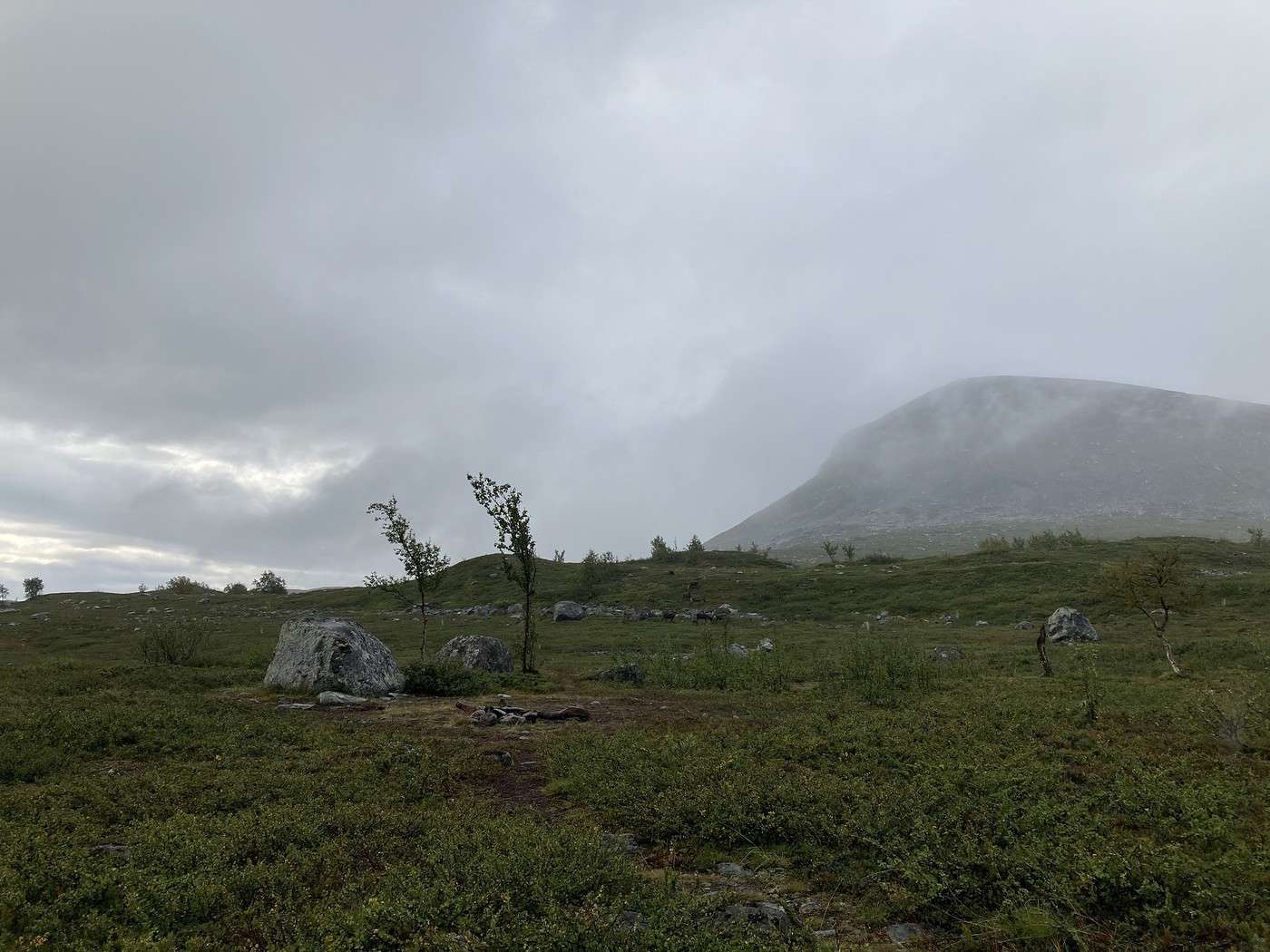
The reindeer don’t seem to mind this glorious weather.


We decide not to take the shortcut that would let us head more directly toward Skierfe, but instead to have lunch somewhere warm (and sheltered) at Akste hut and see what the weather forecast for the next few days looks like afterward.

But at the Skierfe junction, the sun comes back out, we get a signal, and see that there’ll be 2 pretty decent days ahead. So, we forget about heading down to the hut and make a beeline for Skierfe.

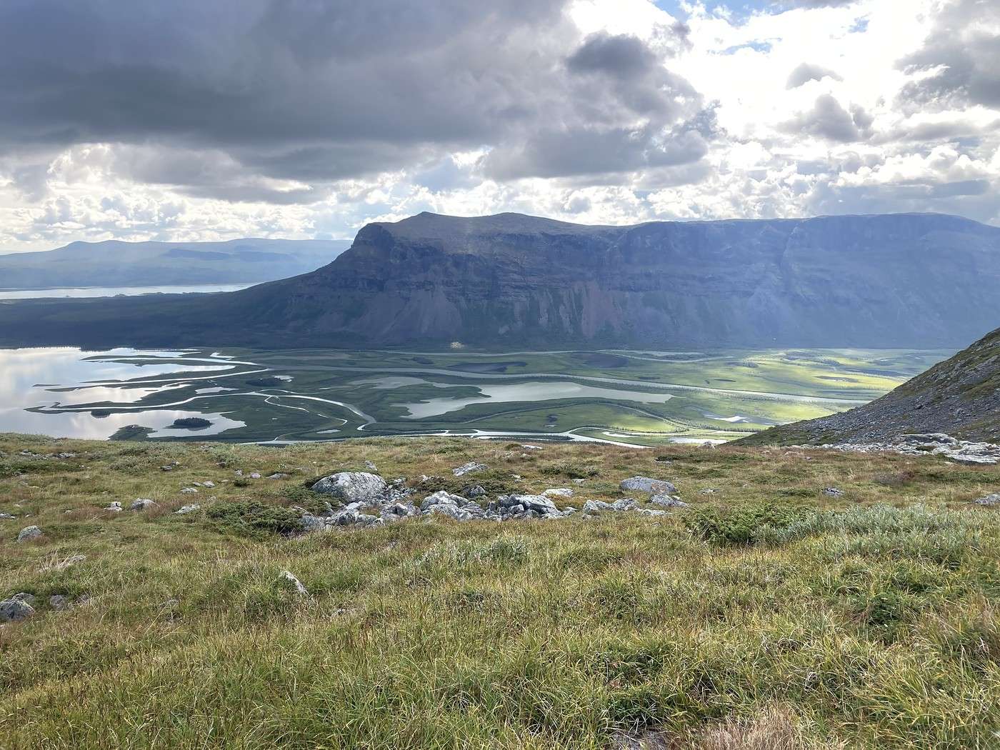
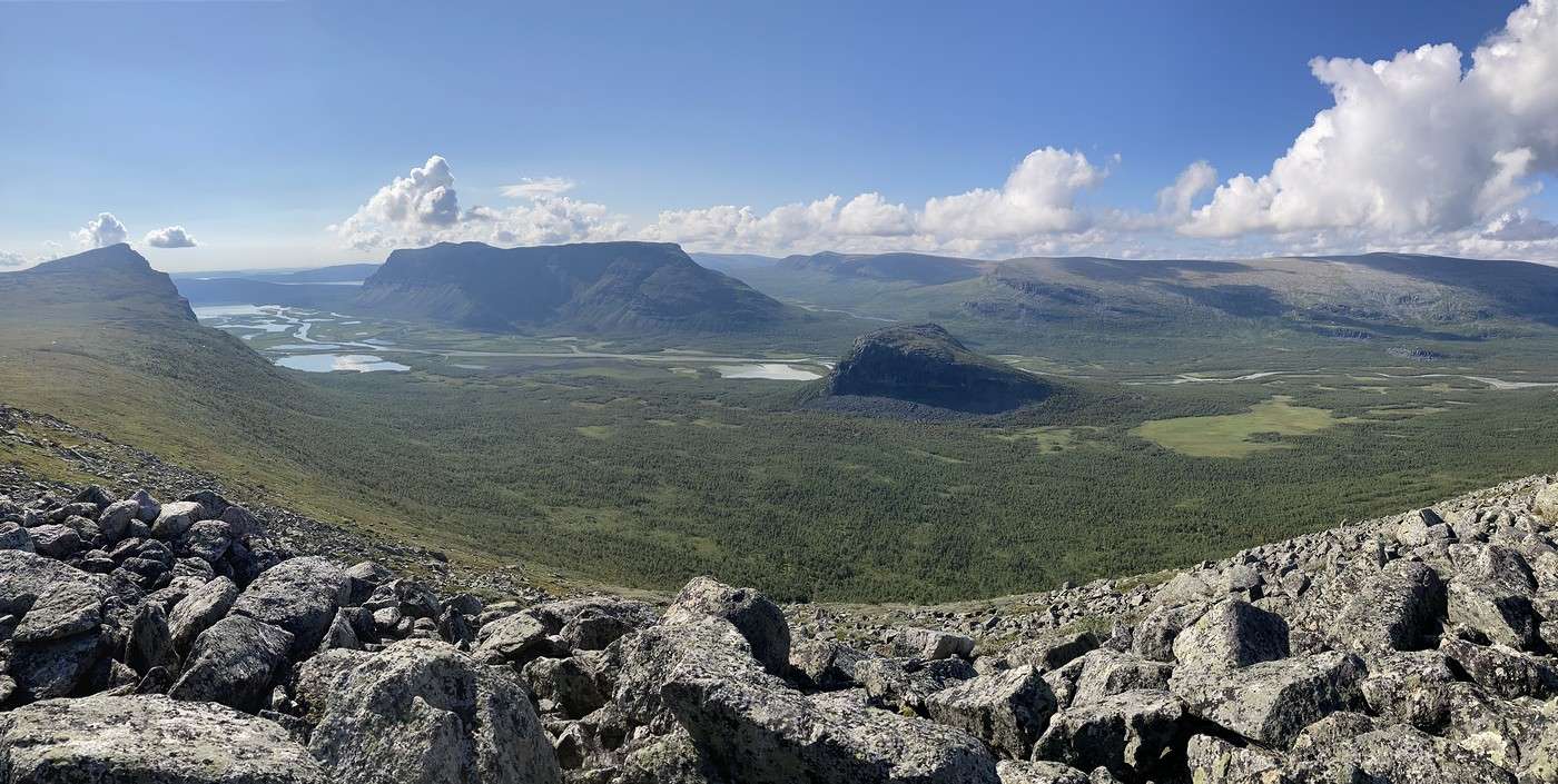
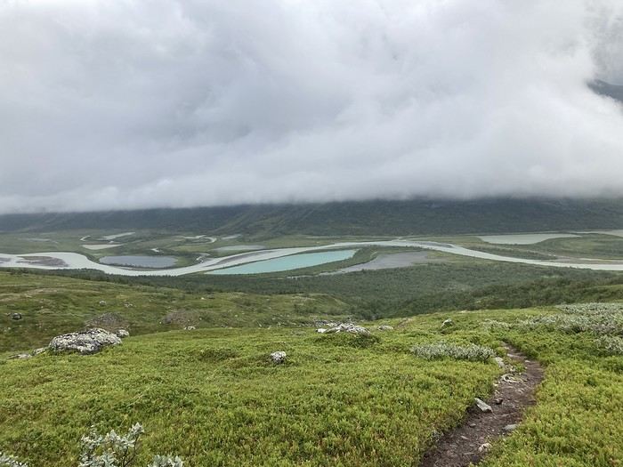
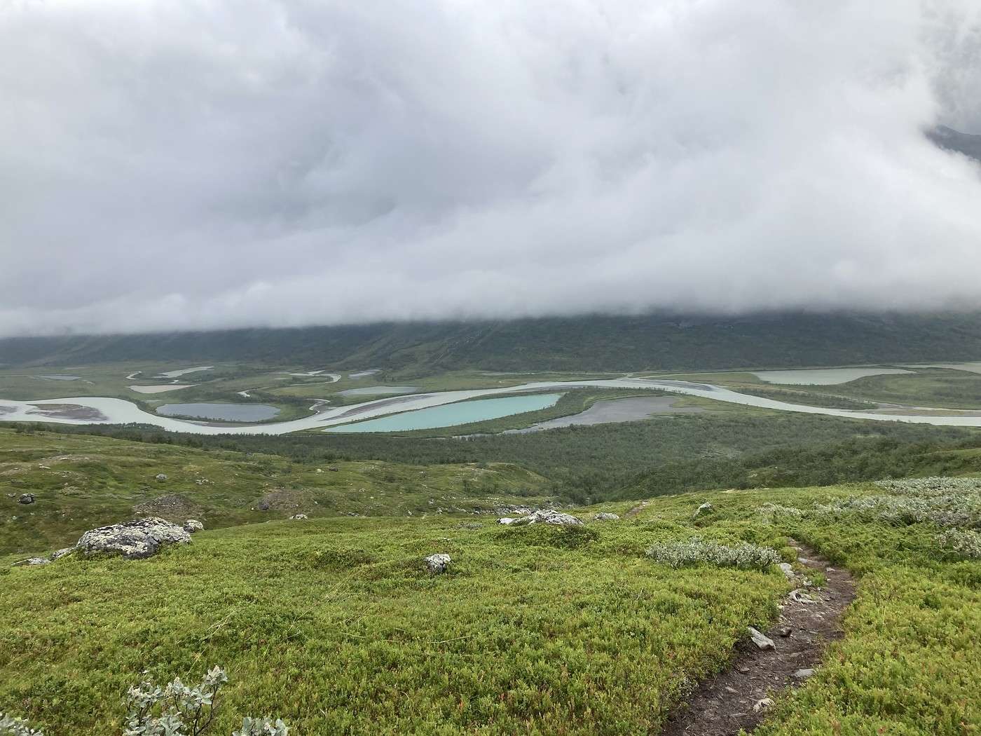
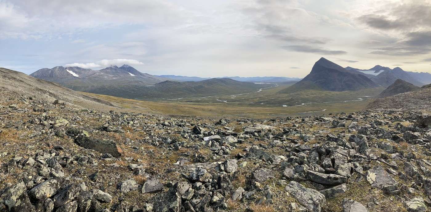
As we climb, we start to catch glimpses of that famous delta.


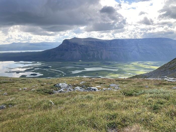
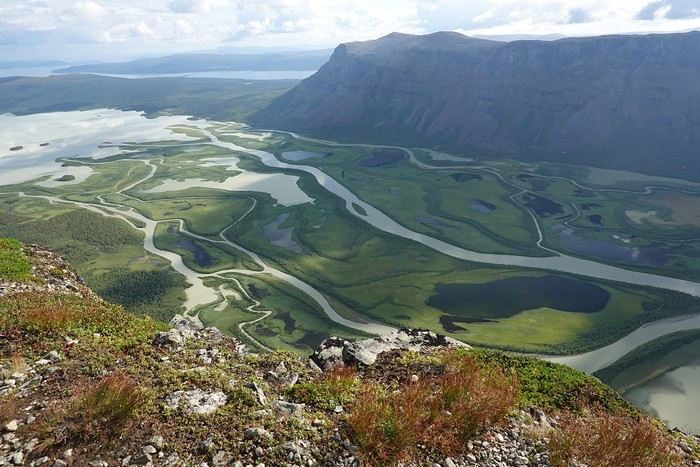
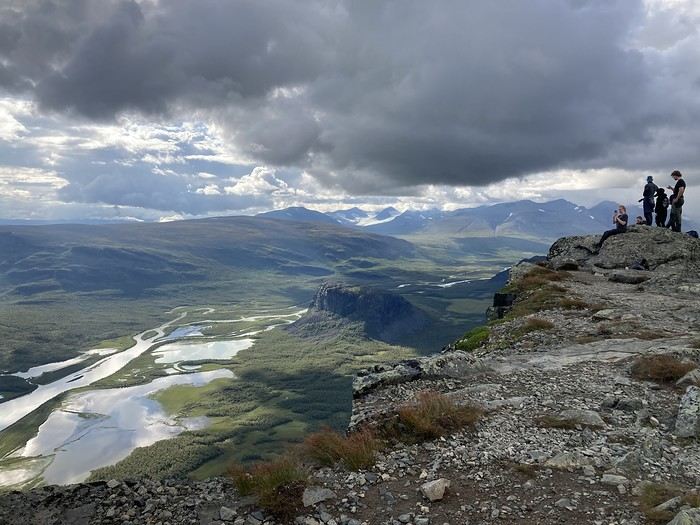
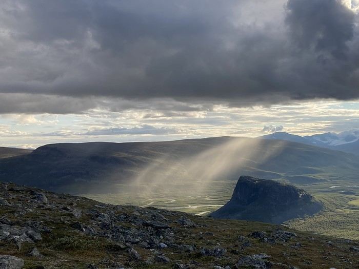
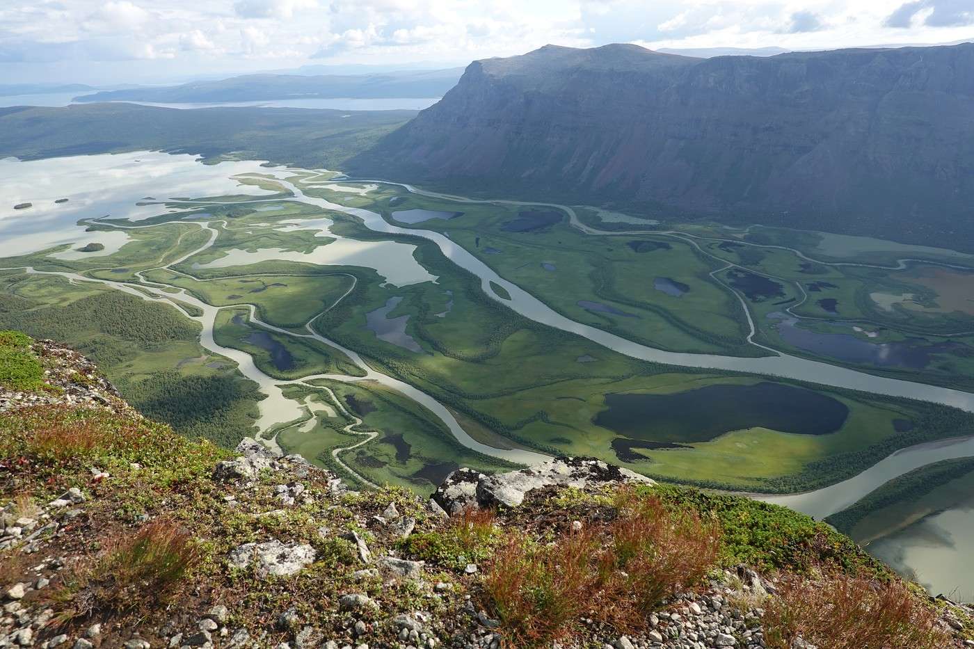
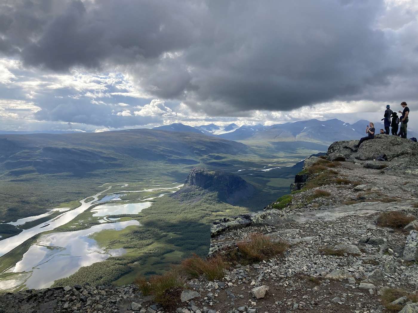
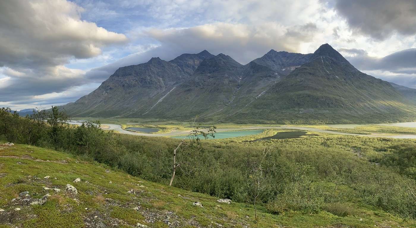
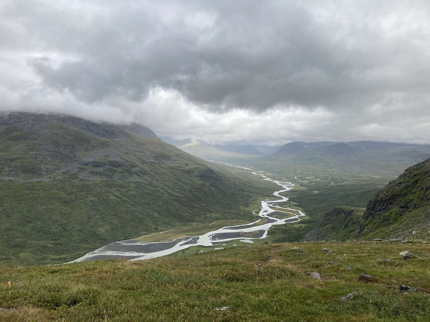
So, what’s Skierfe? It’s a summit considered mythical, towering over the Rapa delta where it meets Lake Laitaure. From the top, the view stretches over the Rapa Valley as it cuts into Sarek. There are countless meanders that come together only to split again, creating a unique landscape. In short, it’s a sight that looks incredible and something I’ve been dreaming about since I first saw photos in 2022. And sure enough, the view is breathtaking! There are quite a few people up there since the summit is accessible from Akste.


JM is mesmerized. For me, the emotion just isn’t there... It’s the first time that’s happened. Usually, even if I’ve seen 10,000 photos during prep, it doesn’t take away from the real-life experience. I can’t explain what went wrong—maybe too much anticipation? I must be the only one, though, because everyone else is in awe and snapping tons of photos.

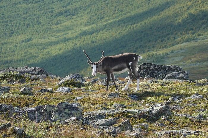
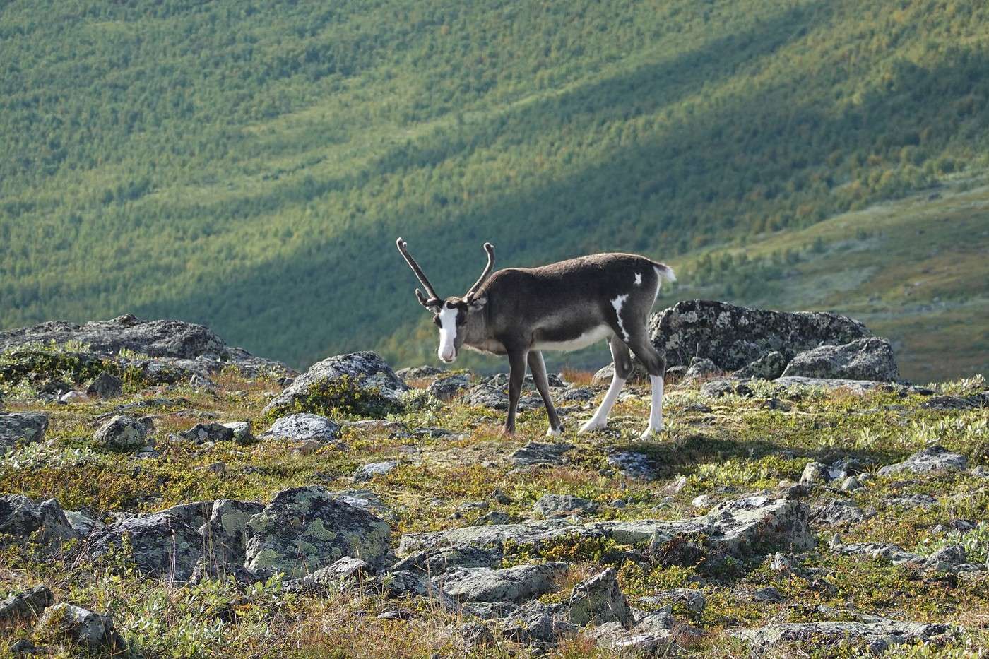
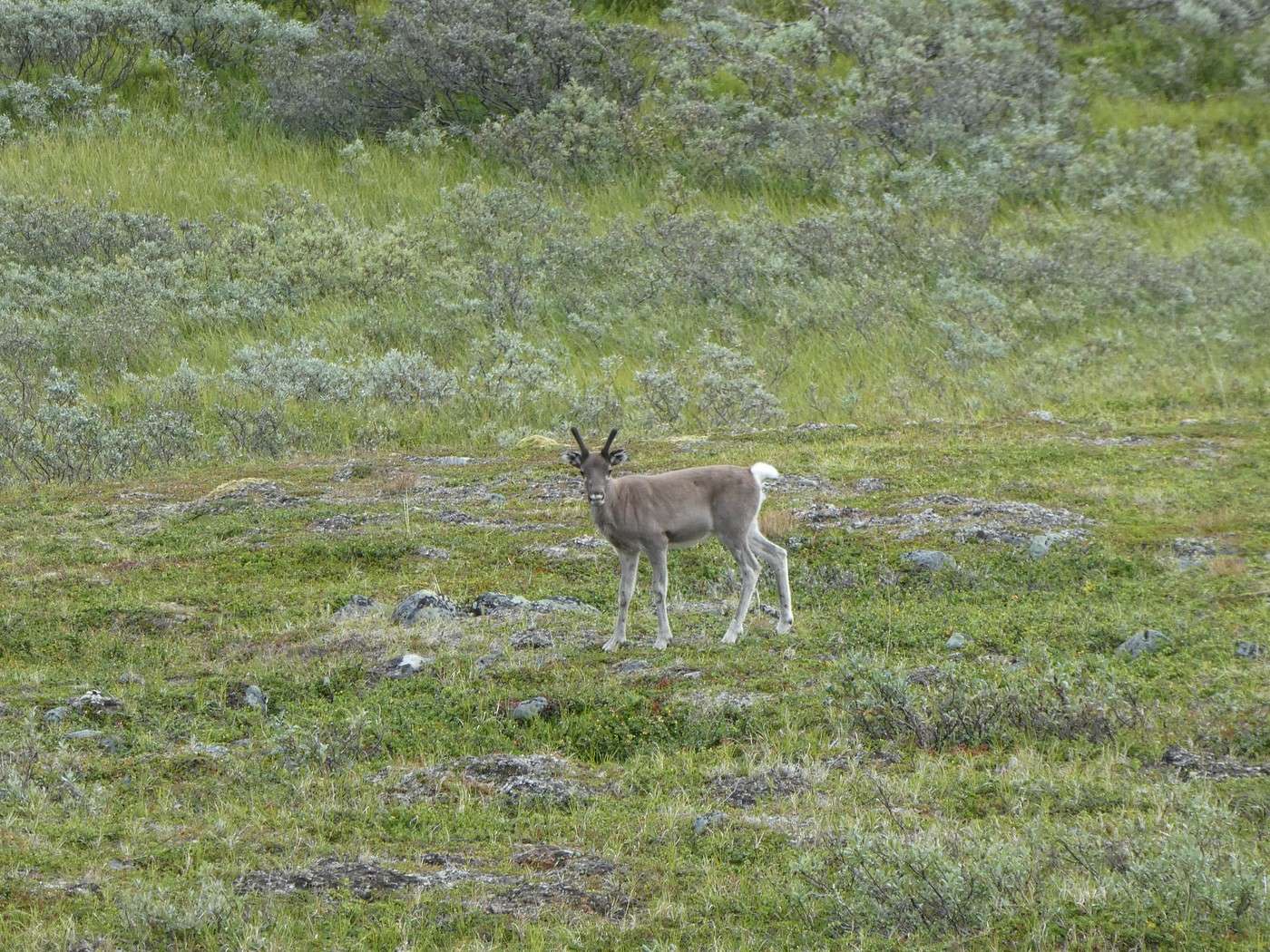
On the way down, we crossed paths with three reindeer, including one gorgeous one with white socks.


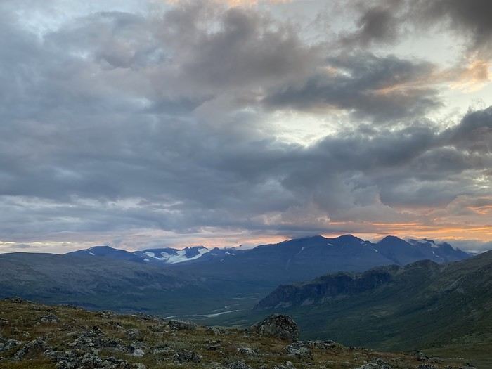
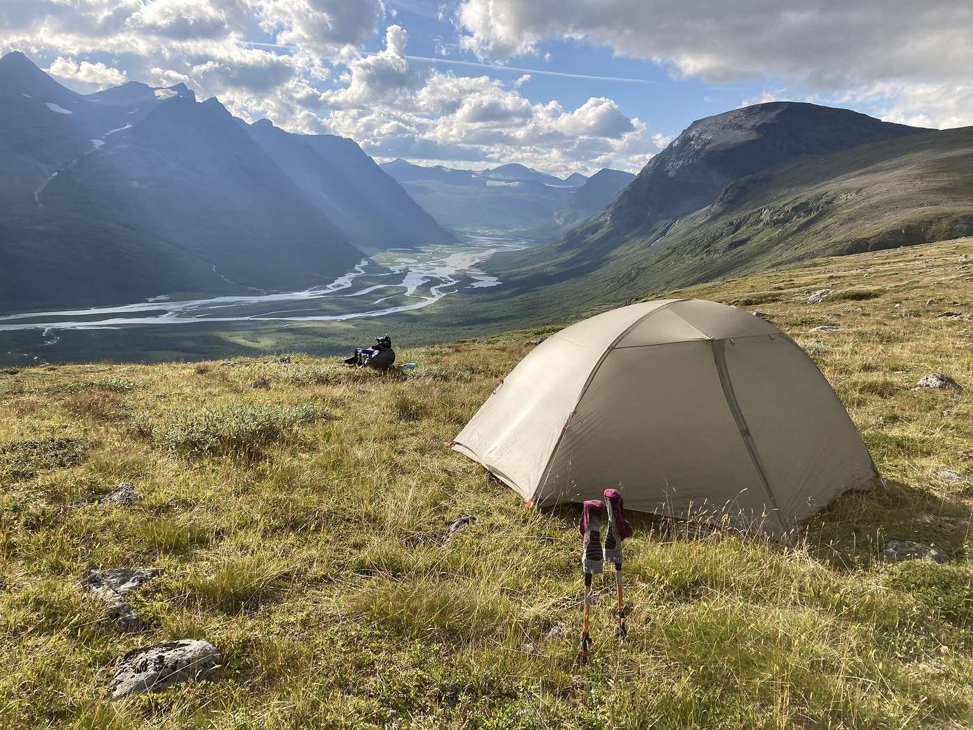
We pitch the tent just below Skierfe. In the evening, the light is stunning—Nammasj is in the foreground.


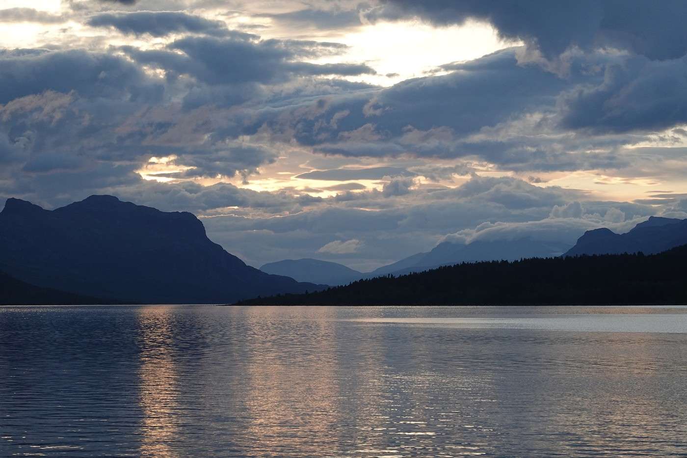
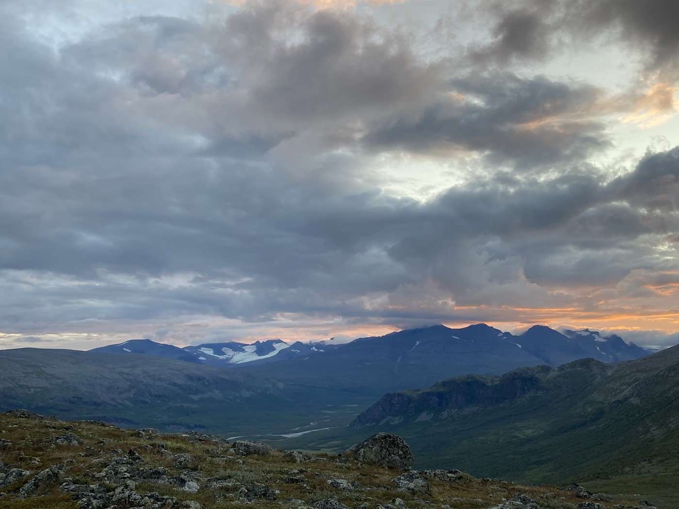
And we’re even treated to a gorgeous sunset.


Before the sun came back, it had been three days of rain—I think that’s my limit.

But with two decent days ahead, it’s decided: tomorrow, we’re heading into Sarek!!!

Summary: 14.8 km – 770 m elevation gain

Back to Swedish Lapland: Trek on the Kungsleden and Crossing Sarek

Calisson94 · 2026-07-07

13/08 – Skierfe – somewhere above Rapadalen

Before starting our ascent along the mountainside while staying high up (as the Swede at breakfast in Saltoluokta advised us), we had to cross a depression. This depression turned out to be quite a hassle with quite a few wet areas.

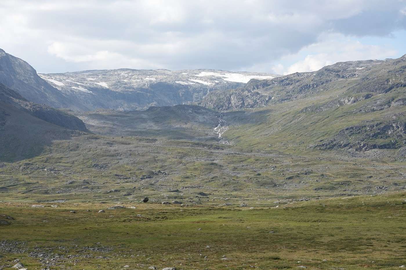
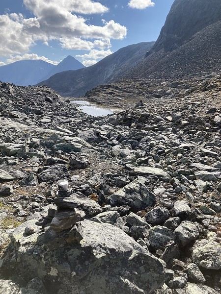
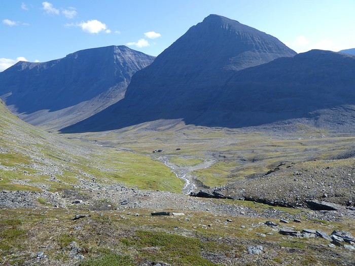
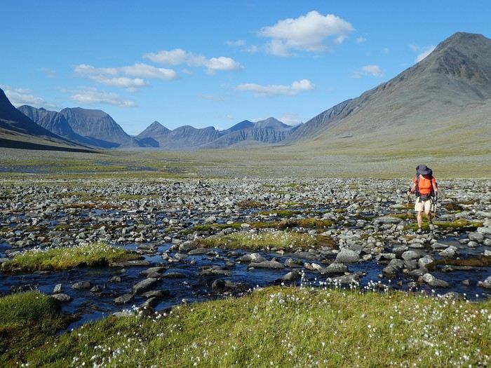
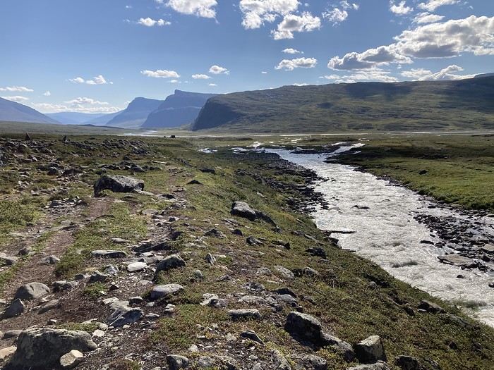
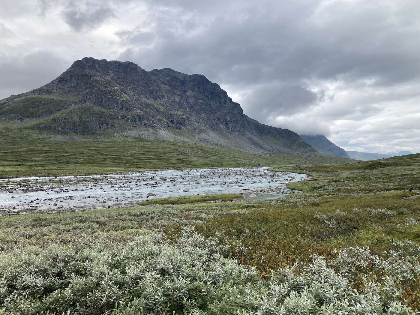
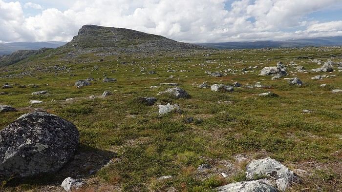
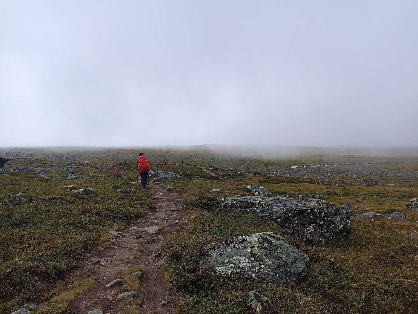
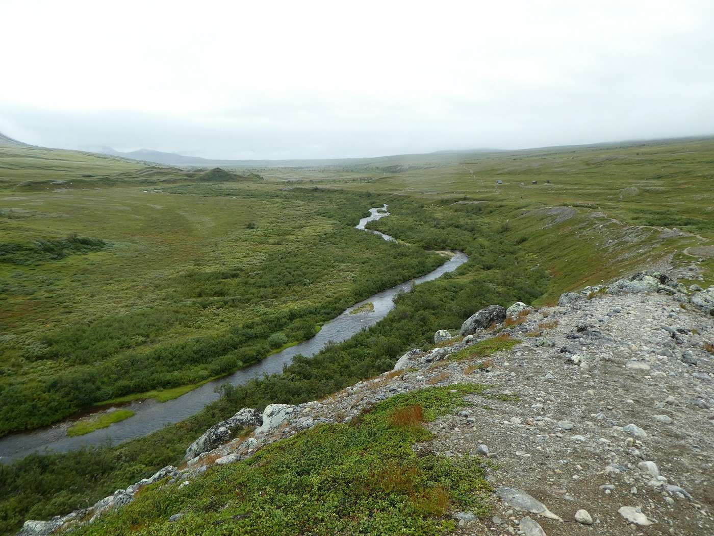
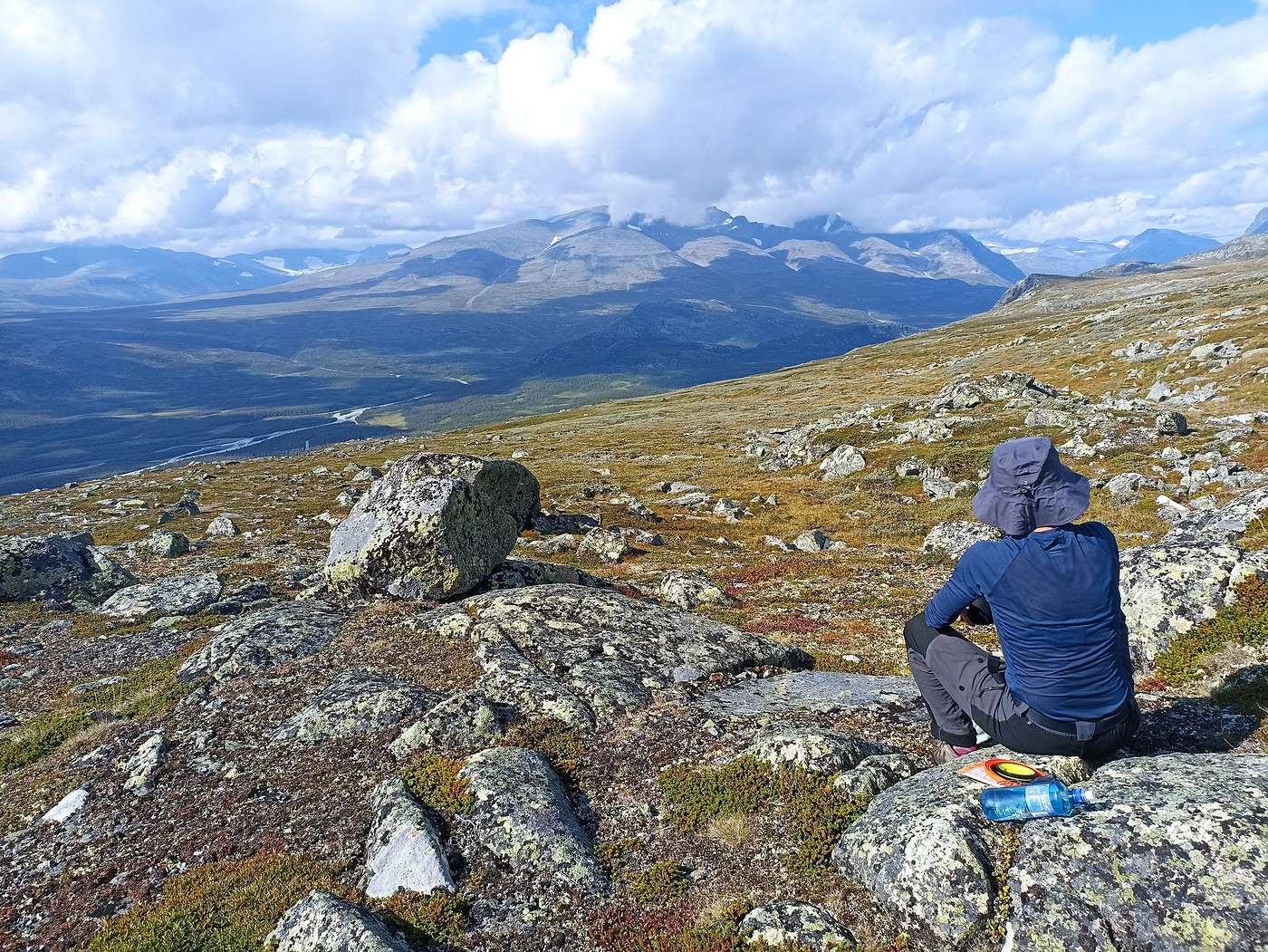
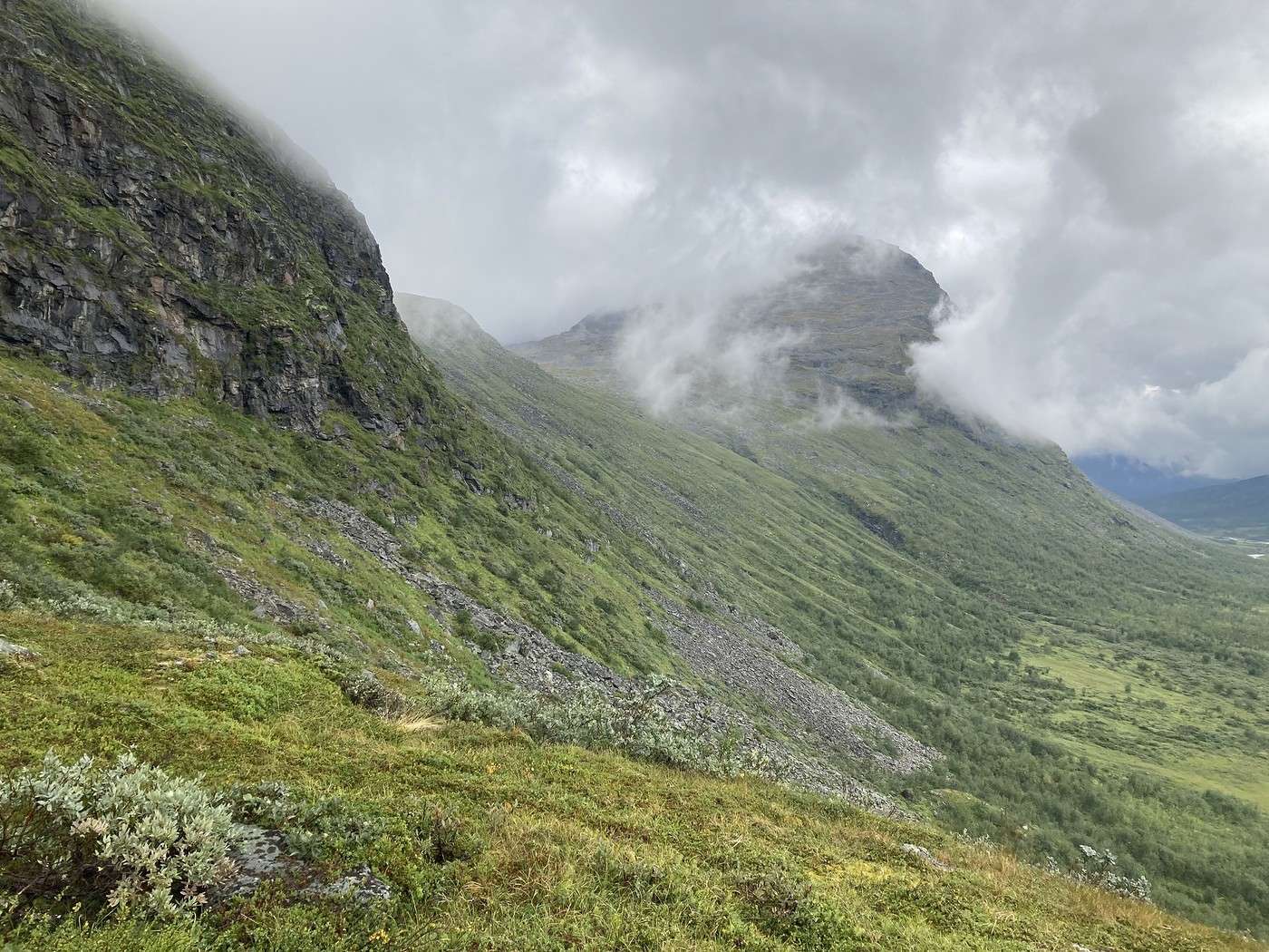
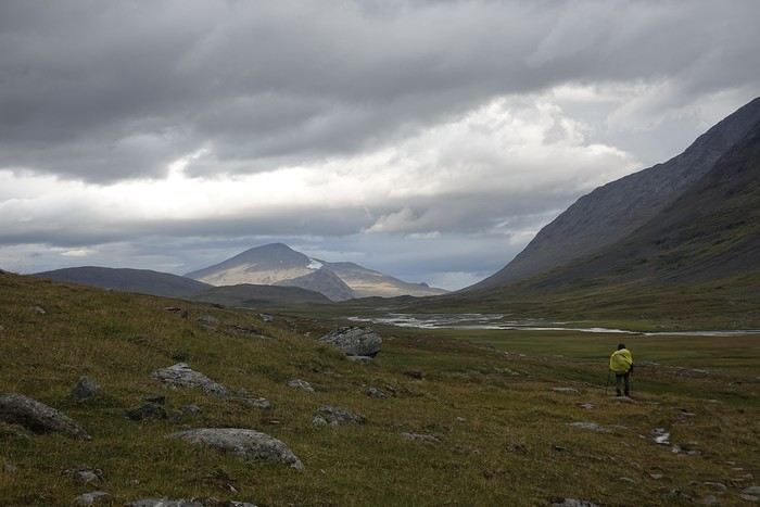
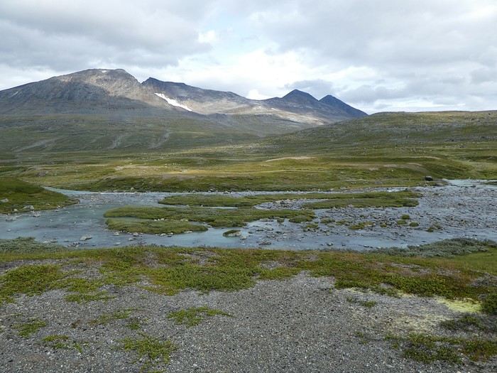
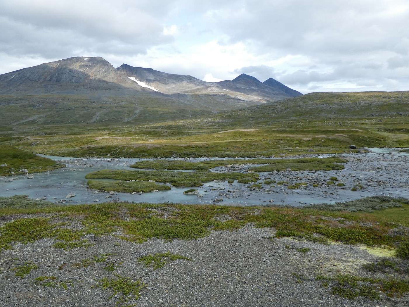
Next, we had to climb back up and walk along the southern slope of Gierdogiesjtjahkka. And there, it was pure scree—progress was slow and tough. Still, there were a few cairns here and there that made navigation easier. Luckily, the view was breathtaking.


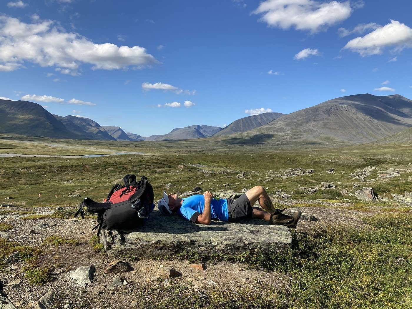
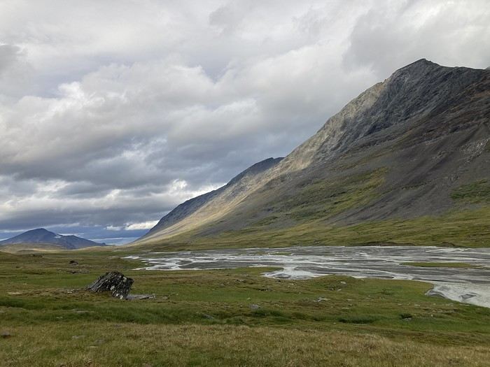
Fortunately, the rest of the hike was generally easier with softer terrain, as you can see during our midday break.


There were 3 river crossings—not too tricky, but one had a pretty steep descent to reach the water (I can’t remember which one). No more bridges now; time to put on the Crocs.

Below, Buovdajagasj.


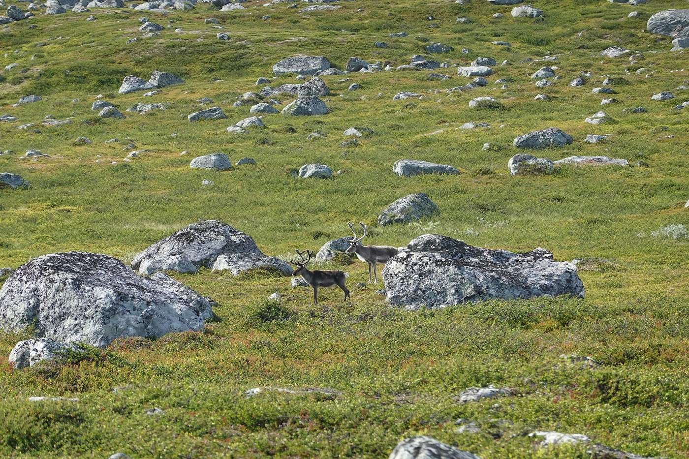
We also saw some not-so-shy reindeer and, as always, landscapes that take your breath away.


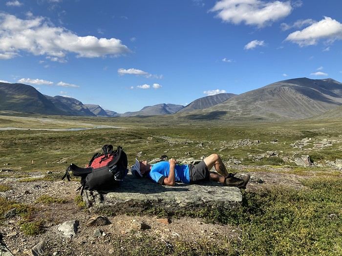
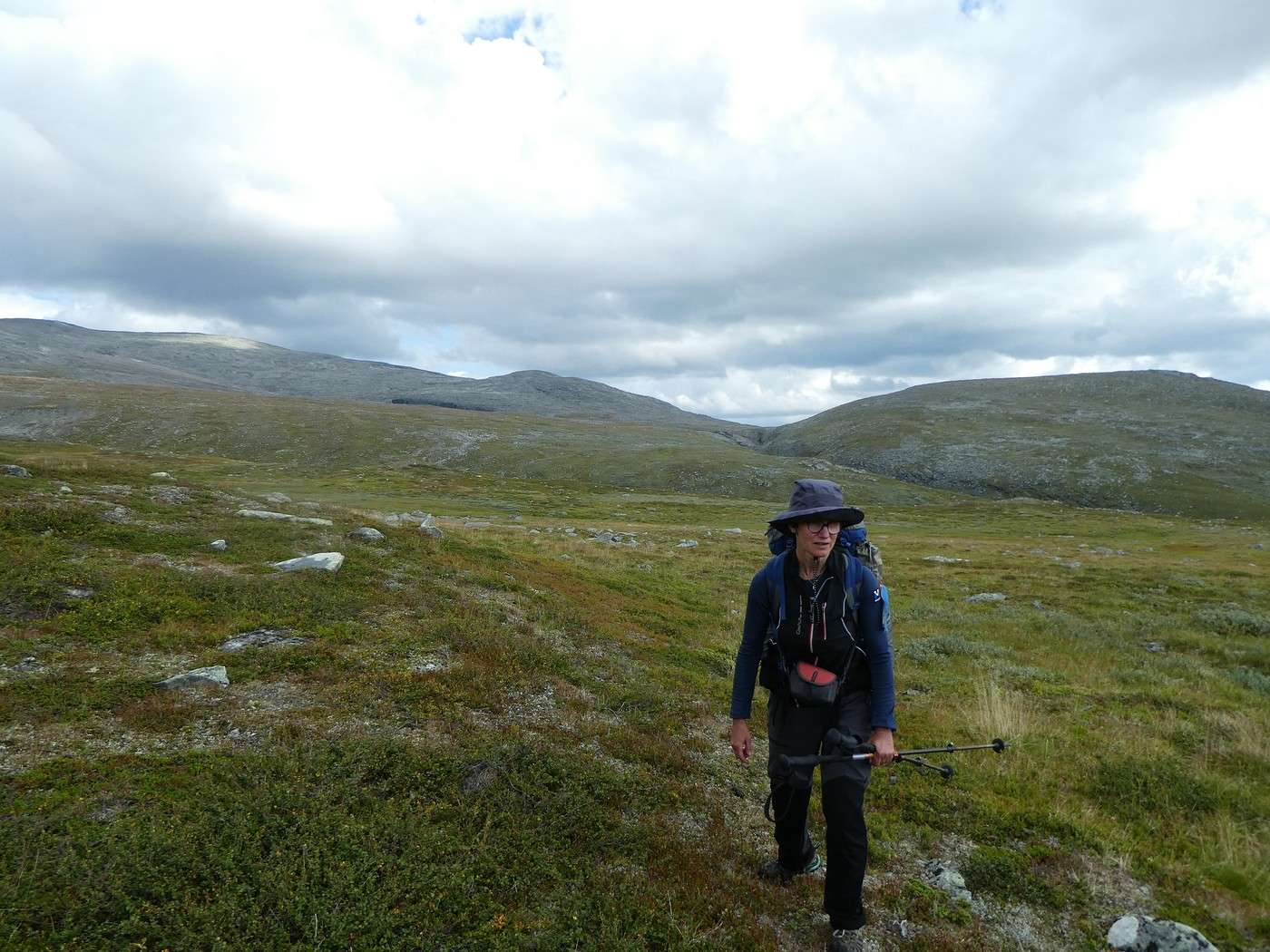
Here I am at 3 PM, completely wiped out!


We were more than rewarded for this day by an incredible bivouac spot.


It’s still early, but I’m exhausted. This stage was really tough, so I’m going to take a quick nap in the tent—it’ll do me a world of good.

Then dinner in the sun with that view. Like every evening, it gets chilly as the day winds down.

We’ve got signal, and the weather should hold tomorrow. After that, rain’s coming back the day after, and a downpour the following day (yikes…).

Summary: 14.4 km – 485 m elevation gain

Back to Swedish Lapland: Trek on the Kungsleden and crossing Sarek

Calisson94 · 2026-07-14

14/08 – Somewhere above Rapadalen – Above the Skarki hut

Not too many kilometers planned for today, so a relaxed morning with a departure around 9:30 AM.

Today, we need to head back down into the valley, where swamps and potentially mosquitoes await us.

After struggling a bit on the rocks, we spot a path that will easily take us down to the low vegetation we saw from above.


Here we are!


And now we’re in the swamps, where visibility is low and our supposedly waterproof shoes are reaching their limits (not easy when you’re sinking up to your ankles).


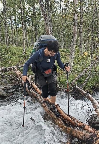
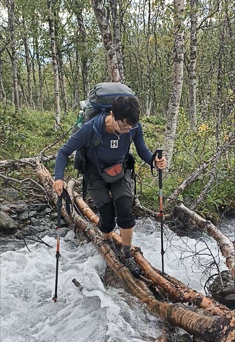
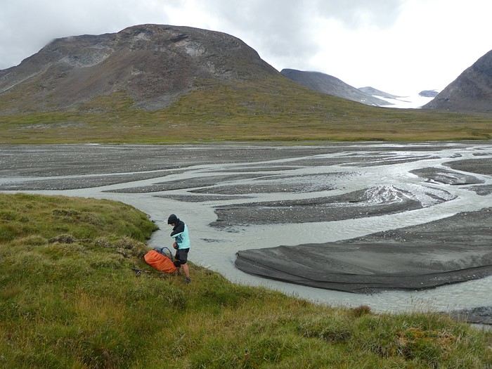
There are three rivers to cross, including one with a strong current and another with logs I’m not too keen on!


We gave up on the path the Swede in Saltoluokta told us about—the one closest to Rapaselet—because reaching it seemed like too much of a hassle.

The going is tough, and by lunchtime, I’m already exhausted.

The rest of the day is easier; we find a trail that’s simple to follow with no more fords.

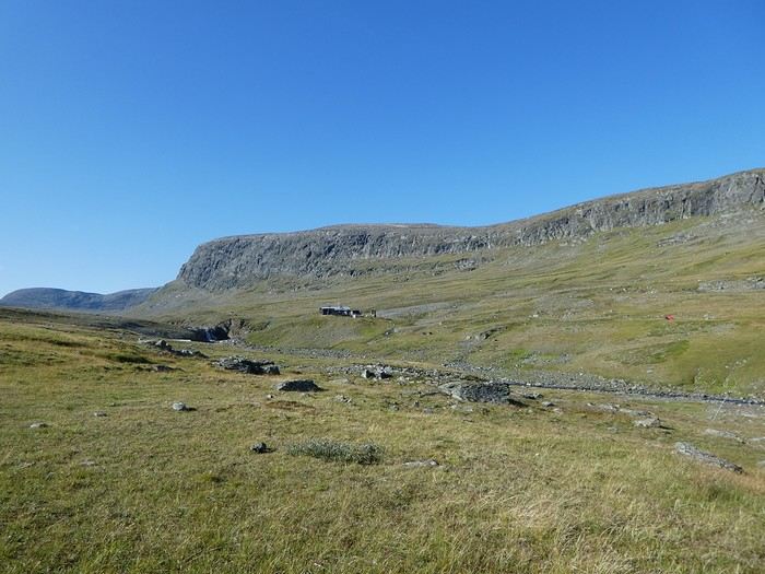
We arrive at the Skarki hut (closed).

There’s a camping area, but it’s pretty enclosed by trees, and there’s already someone setting up their tent. After a short break, we decide to keep going, leave the valley floor, and start climbing again.

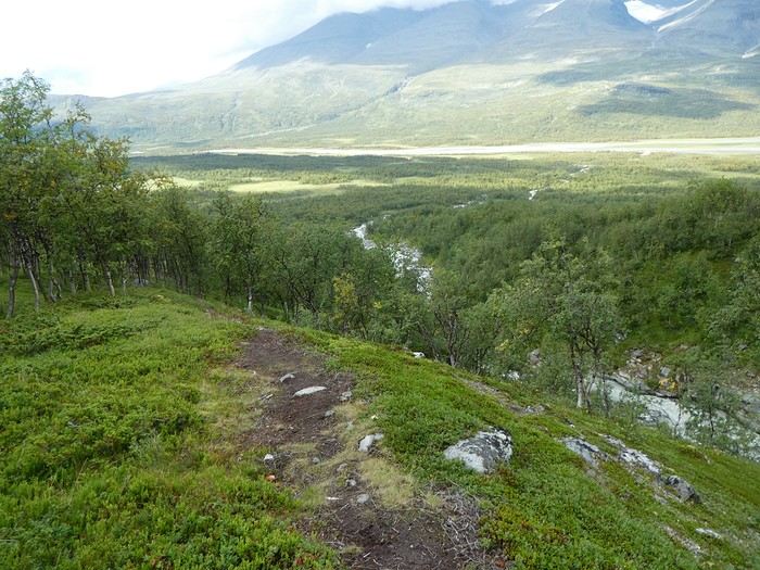
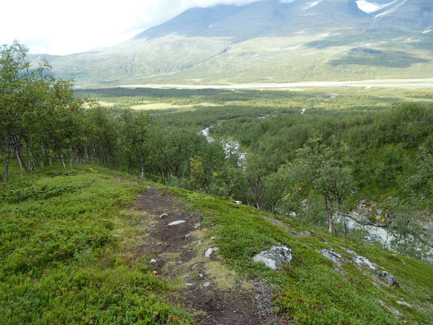
After about 1 km, the trail emerges from the trees, and we find the terraces the Swede mentioned.

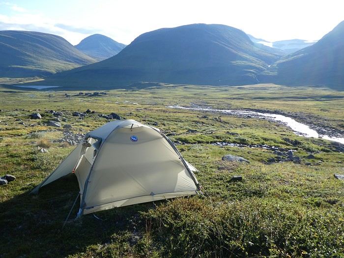
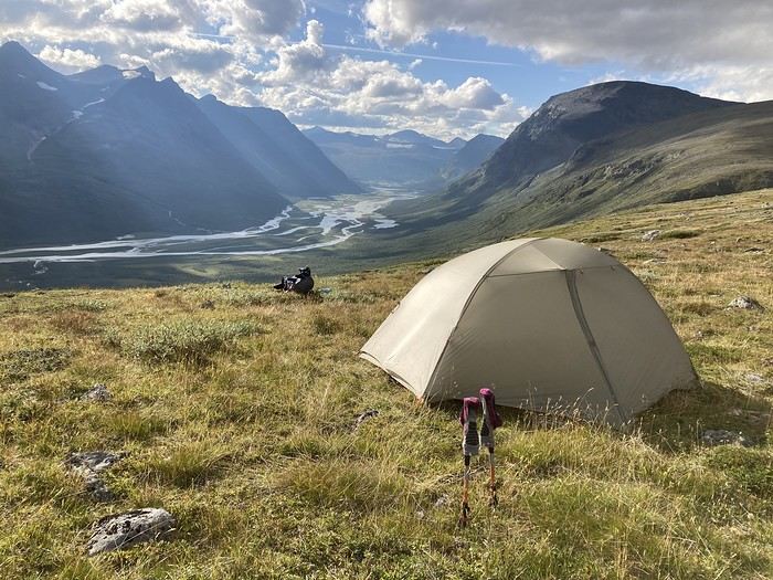
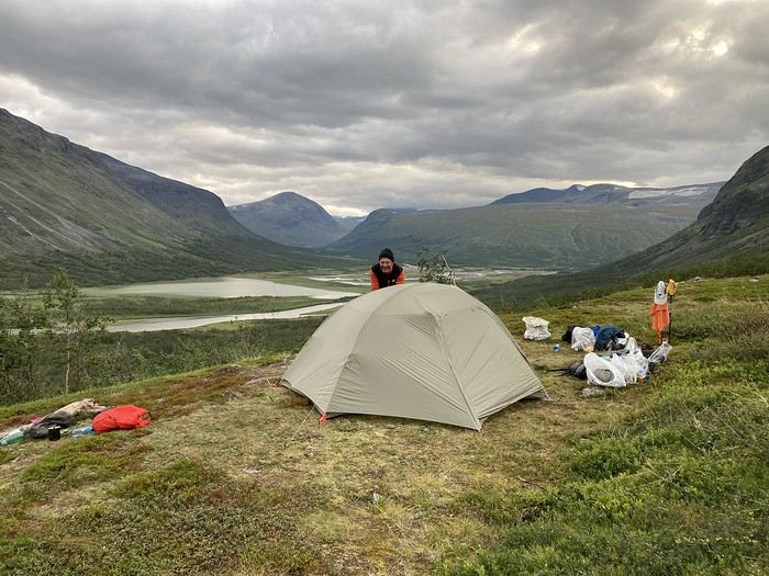
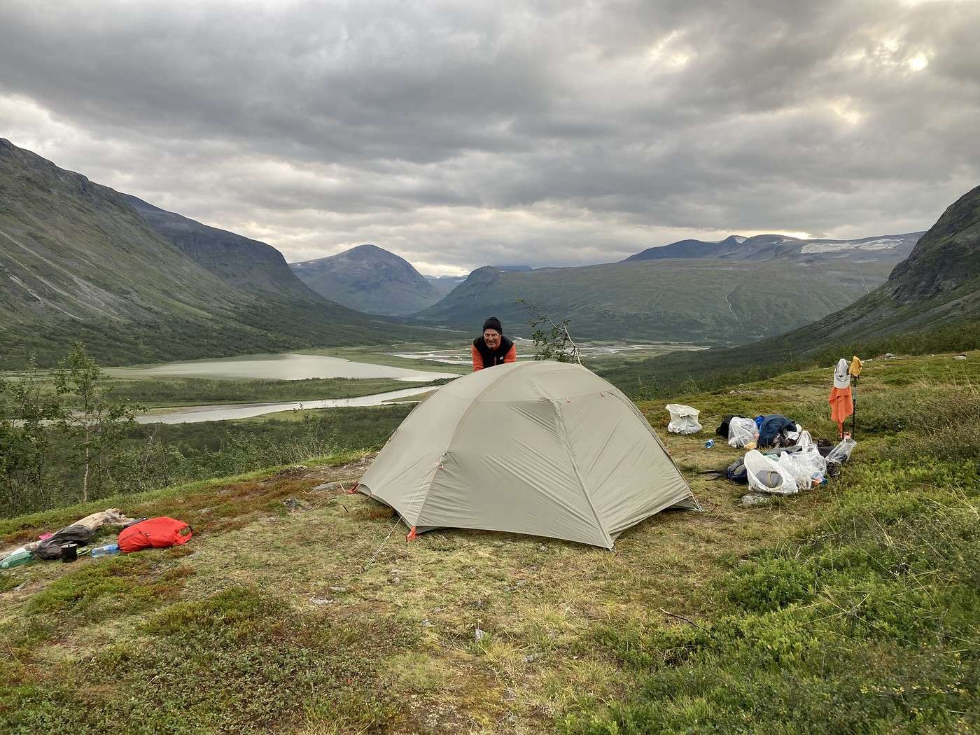
We move a little off the path and set up the tent at the edge of the trees.

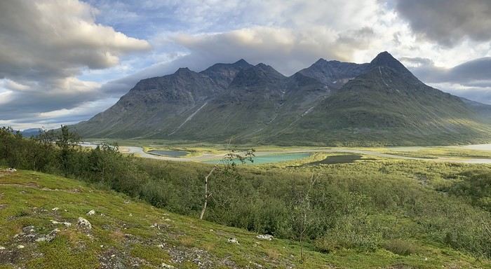
The view is breathtaking.


We head down to the stream below to wash up (the path to get there is steep), and feeling refreshed, we return to the tent. 5:30 PM—perfect timing for an apéro of seeds and herbal tea.

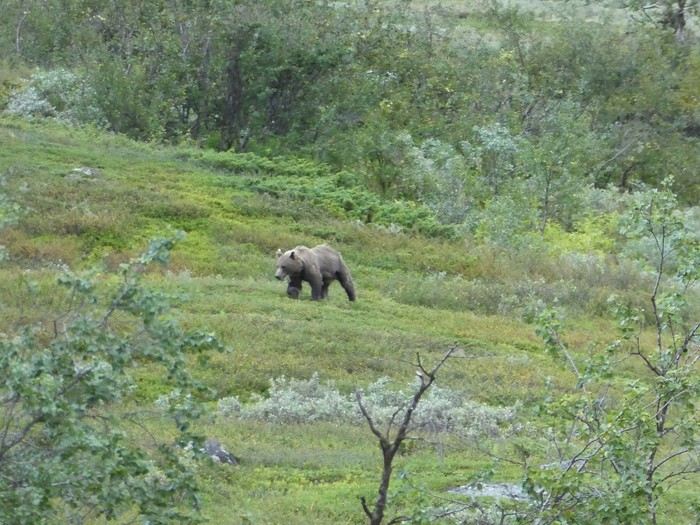
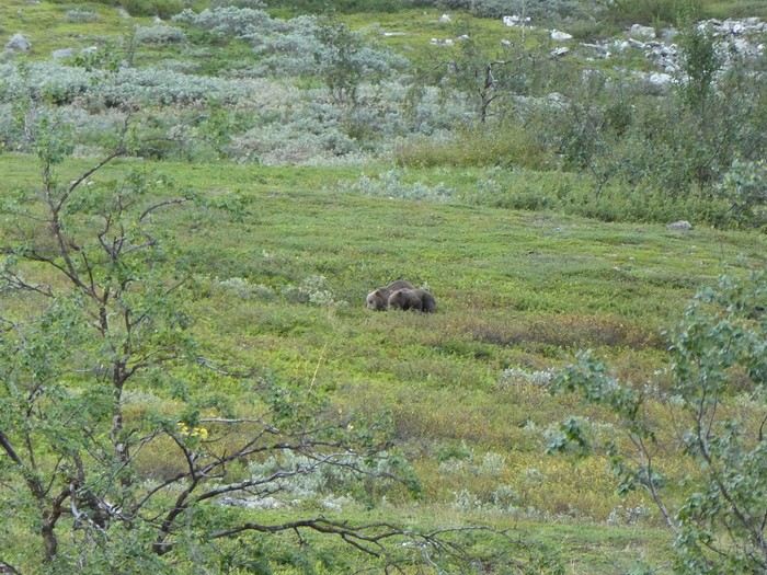
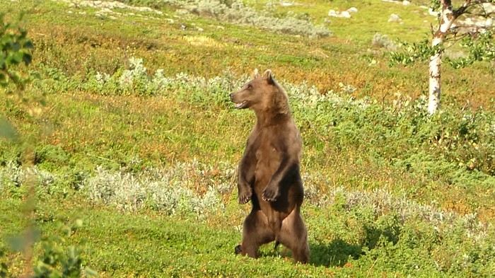
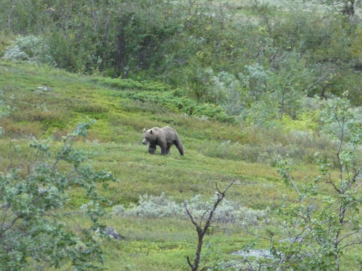
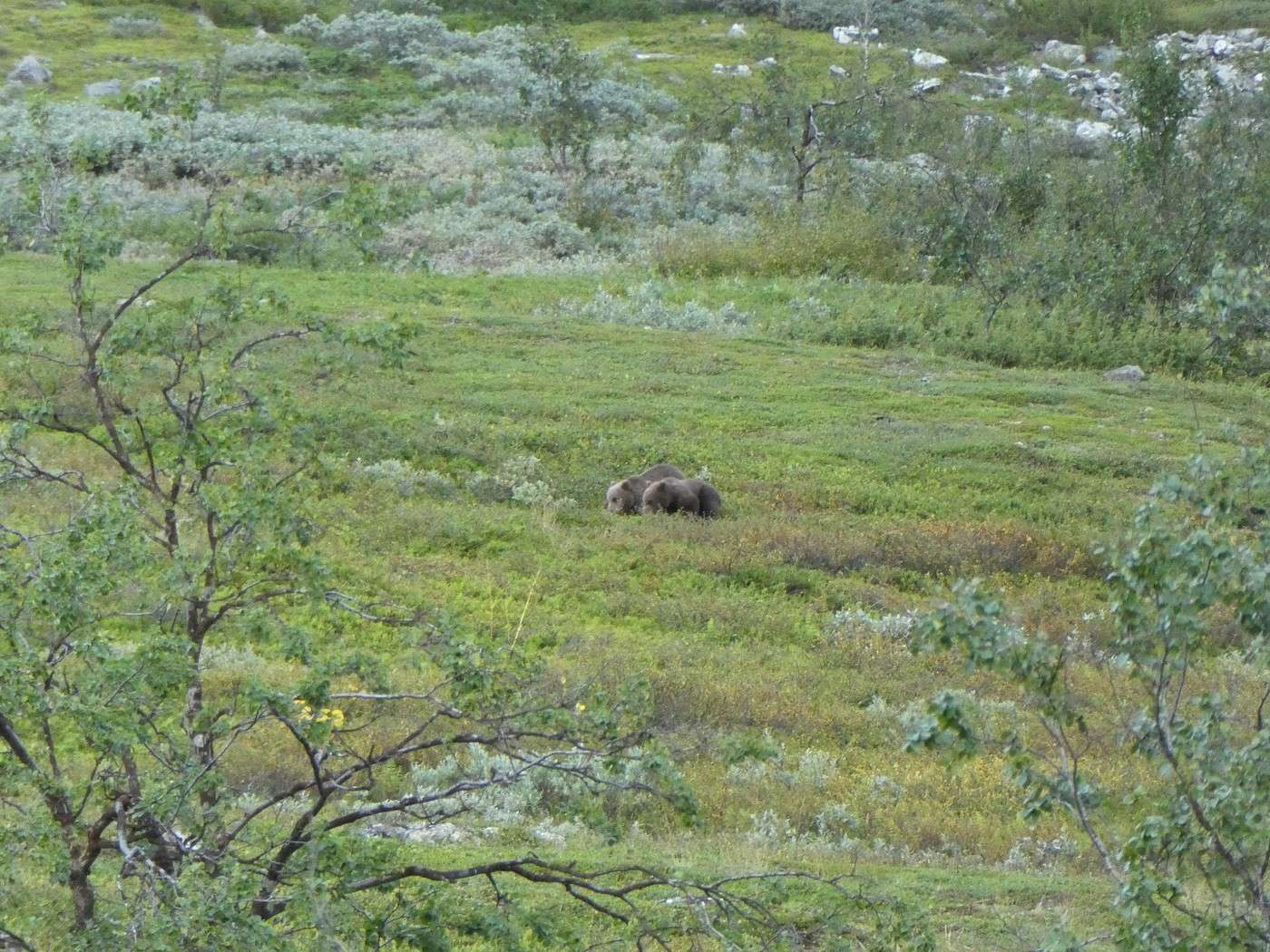
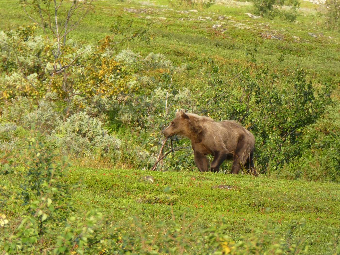
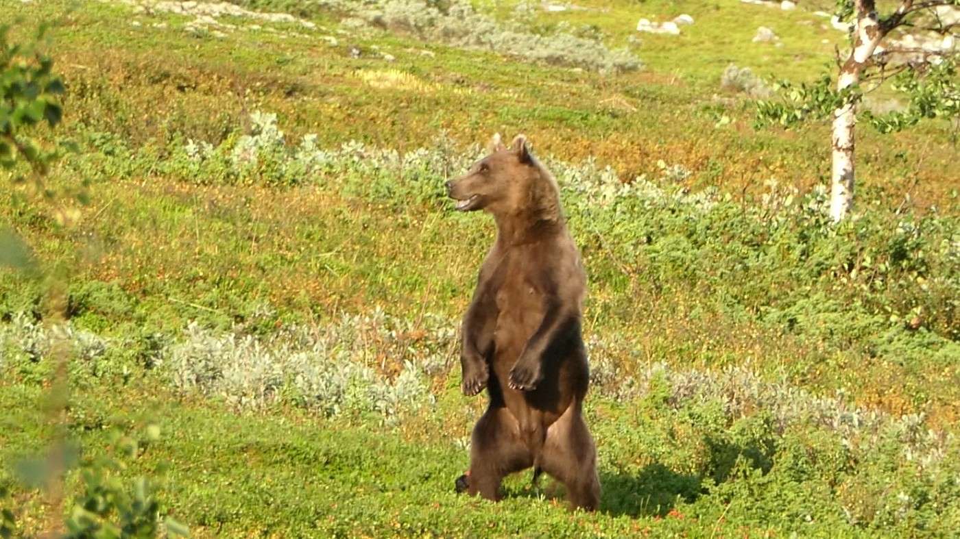
JM, always on the lookout for wildlife, suddenly says, "Uh, I think there are three plantigrades…" And sure enough! About 100 meters away, a mom with her two cubs is eating while coming down the slope!!


What a sight! I knew there were bears in Sarek, but I’d read they’re almost never seen. We stay very still, and clearly, they don’t notice us as they continue toward the river.

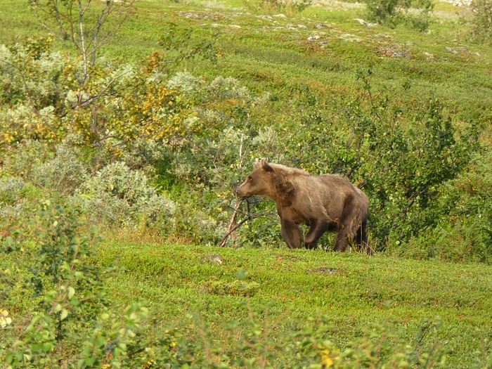
Tonight, we take advantage of the fire pit to make a fire and save on gas. As the water heats up, JM, ever observant, spots the bears coming back up!! This time, they stay in our field of vision for quite a while—it’s incredible, except at one point, the mom, who had moved away from her cubs (or rather, the other way around), gets closer to our camp. One of the little ones is climbing a tree just 20 meters from our tent!!

We back up to the trail leading down to the river, but luckily, the mischievous cub rejoins its mom, and they continue their climb.

What an experience!


Back to Swedish Lapland: Trek on the Kungsleden and crossing Sarek

Calisson94 · 2026-07-14

So, no way we were sleeping at the edge of the trees—we ended up moving the tent to get it as close to the trail as possible. It’s psychological, since it’s not that far, but I feel much more at ease this way.


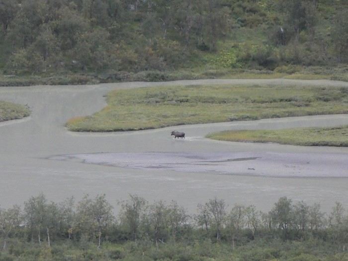
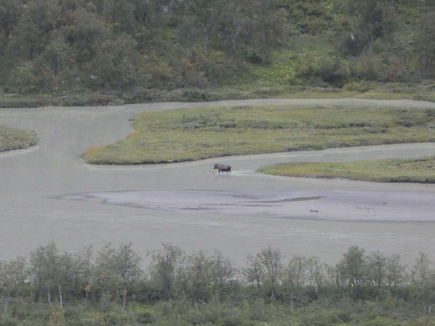
A lovely end to the day spent scanning the *rapasalet* (we spotted several moose coming to drink—too far for photos, though).


At 10 p.m., it was time to try and get some sleep... We’d hung our food in a tree, away from the tent, and the trash in another direction, also at a distance.

Needless to say, the night wasn’t great. First, it started raining, so we had to retrieve the food, and of course, I later heard some growling—thankfully, it didn’t last long!

Summary: 3 bears, 12.3 km, and 280 m of elevation gain.

Back to Swedish Lapland: Trek on the Kungsleden and Crossing Sarek

Calisson94 · 2026-07-20

15/08 – Above the Skarki hut – Skarja

Well, the bad weather is here—this morning it’s drizzling, and the panorama isn’t the same!


We quickly pack up the tent, and by 8 AM, we’re off in a light rain.

We soon have to put on our crocs to cross the Jilajahka, then it’s a long climb up to the Snavvavagge plateau, which must be much nicer in better weather.


Then comes the descent I’d read was tricky, especially in the rain—well, it’s still raining… The rocks are wet and slippery, but taking it slow makes it manageable.

No photos during the descent, but it’s basically from where the cloud starts and along the diagonal.


We then climb up to another pretty plateau. The rain has stopped, so we take a lunch break sheltered from the wind. We’re pretty soaked and getting cold fast, so we hurry.

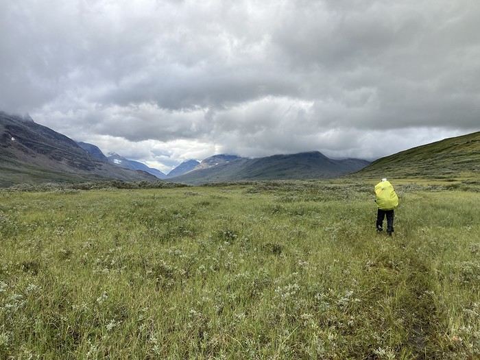
The landscapes are stunning, and the trail is smooth.

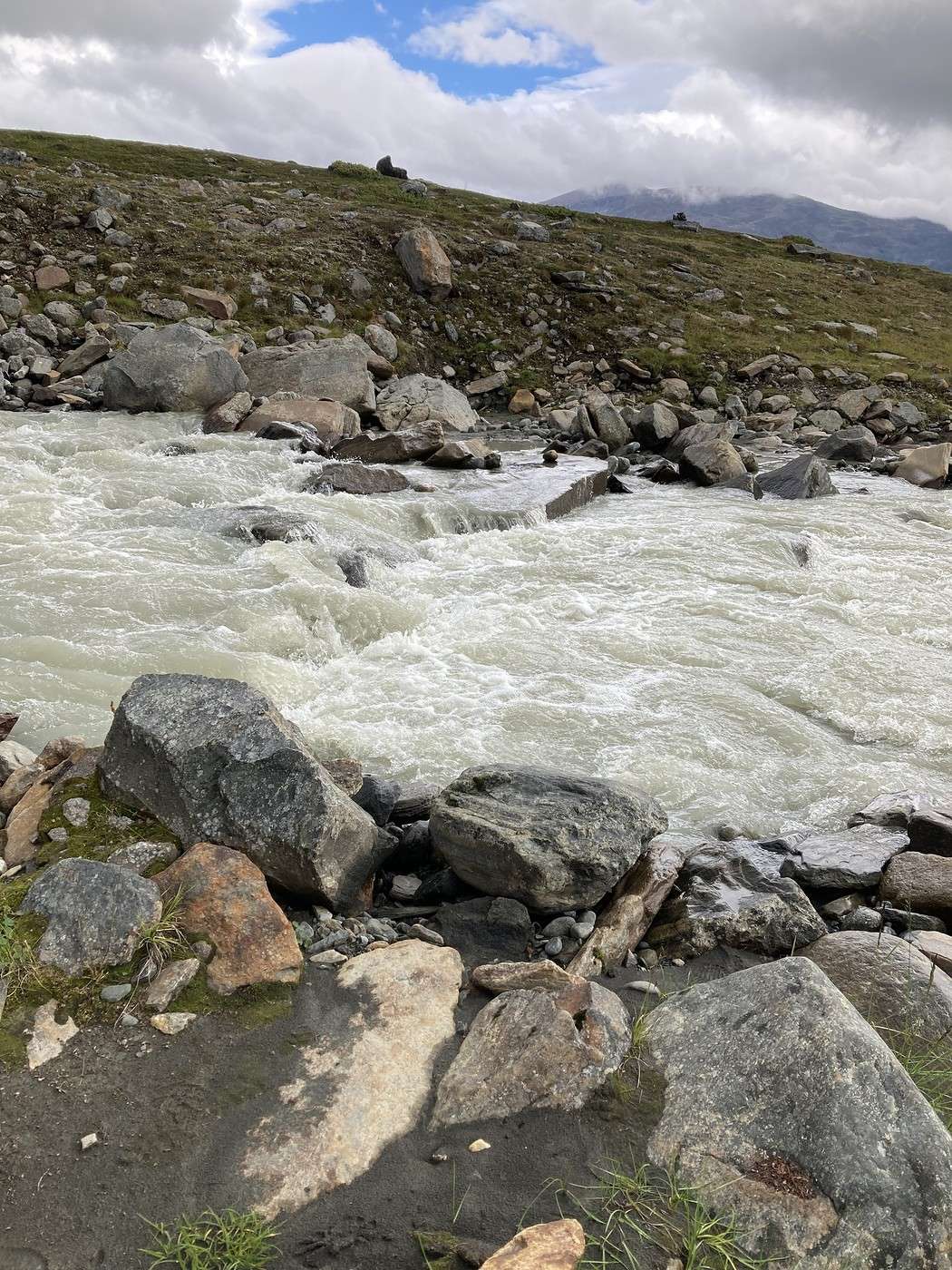
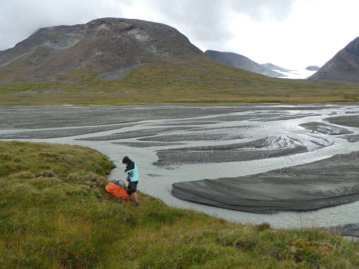
But then come the river crossings. The first, the Bielajahka, shouldn’t have been difficult, but theory and practice are two different things—I really struggled. Given the cold temperatures, there’s no way I’m getting my pants wet. The solution? Take them off—clever, right?

For the second, the Tjaggnarisjahka, known to be tough, we were lucky to see a young couple starting the crossing ahead of us. That let us see it was doable and spot the deeper sections. Since the girl had water up to mid-thigh, I had to drop my pants again. It’s not long, but the current is strong!


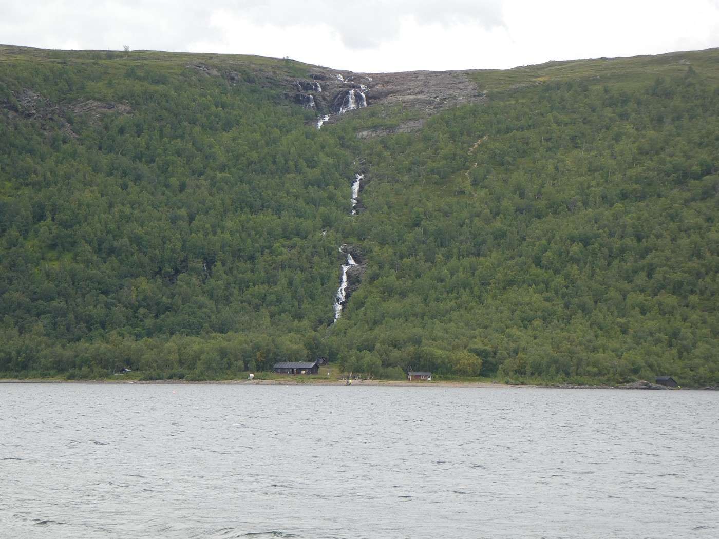
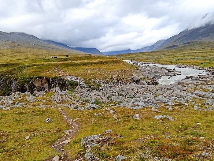
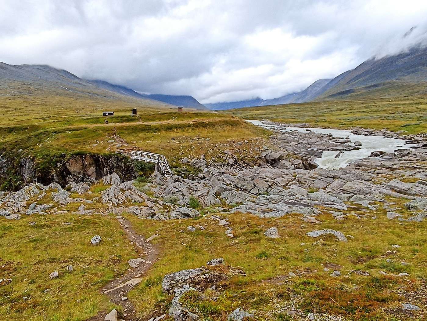
Then it’s the end of the stage to Skarja, accessed via a bridge specially installed for the summer.


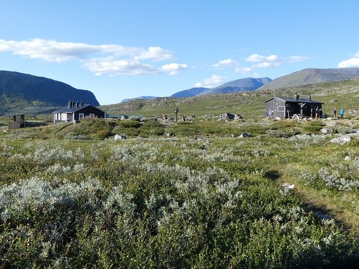
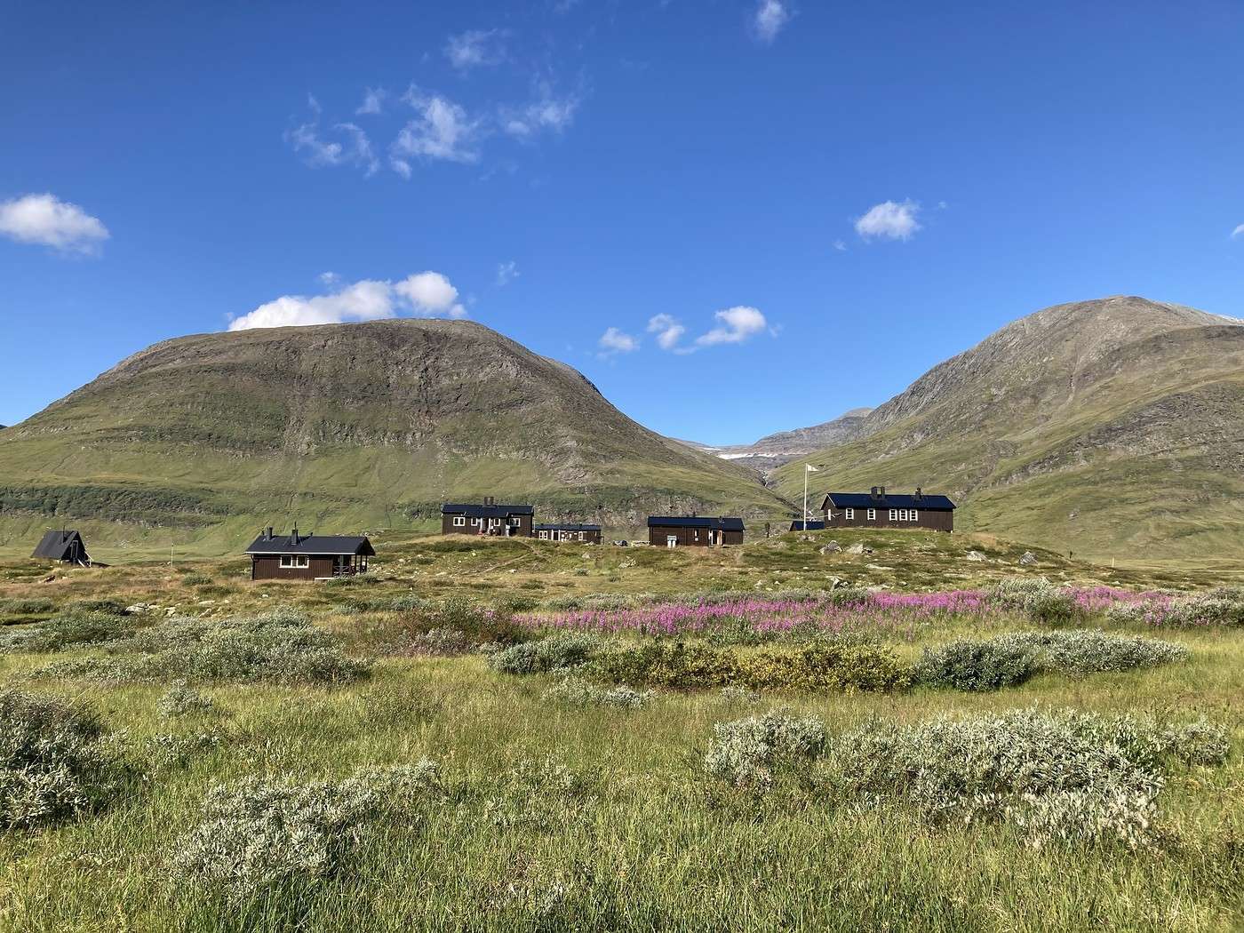
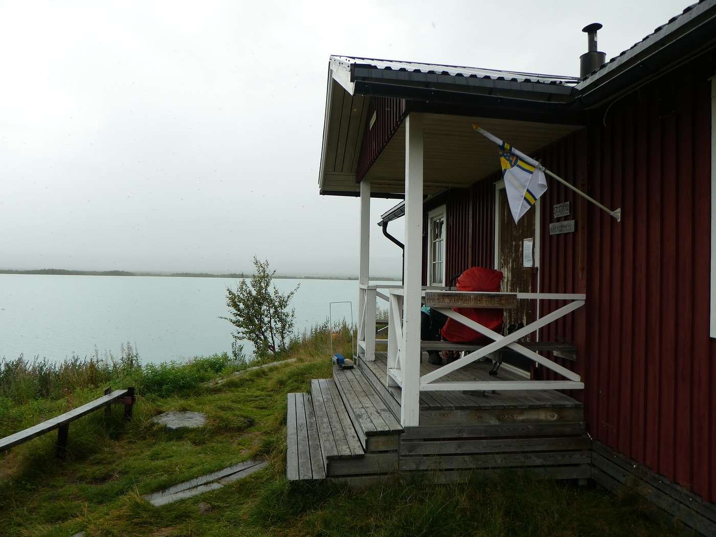
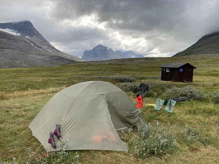
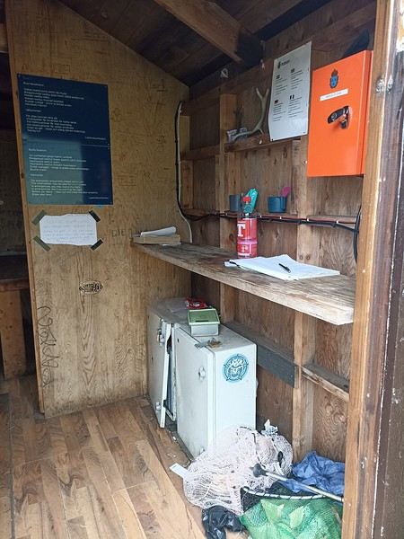
The hut is basic, but at least we can take shelter to cook. We check the guestbook and see only one French person has signed before us this summer.

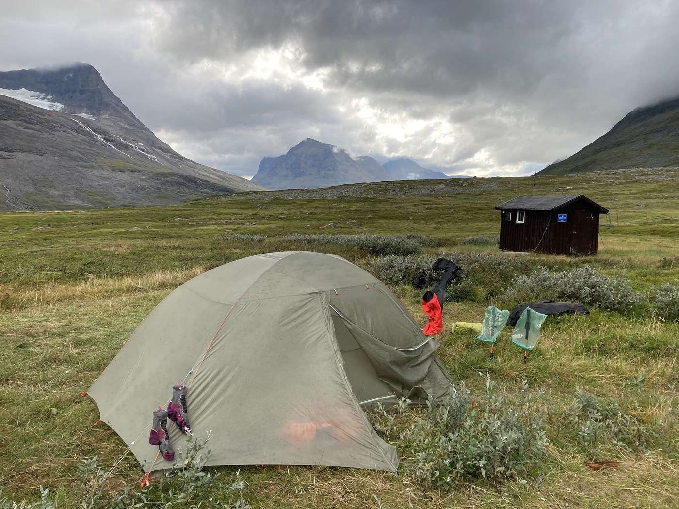
Besides us, there are two other tents and reindeer hanging around.


Summary: 16 km – 575 m elevation gain

Back to Swedish Lapland: Trek on the Kungsleden and Crossing the Sarek

Calisson94 · 2026-07-20

16/08 – Under the tent at Skarja

Rain all night, rain in the morning. During a brief lull, we start getting ready. But just as we have only the tent left to take down—more rain, and lots of it! It’s 11 AM, we decide not to leave, and we slip into our sleeping bags because with the wind picking up, it’s gotten really cold.

The rain didn’t stop until around 5 PM. We saw three young guys arrive at the cabin, soaked and shivering—big, tough guys who admitted it had been rough.

There’s sunshine in the valley we came from, but in the Ruohtesvagge where we’re headed, it’s pitch black. We’ll see tomorrow; we’ve used up our buffer day, so we’ll have to set off no matter what.

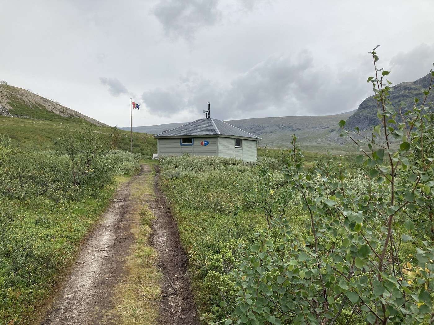
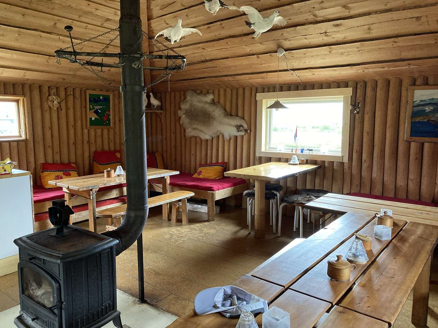
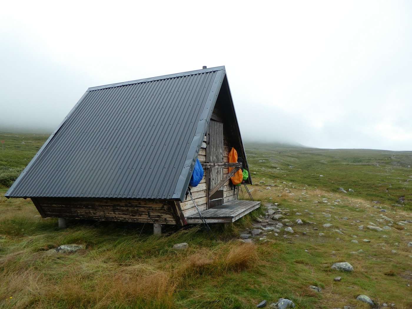
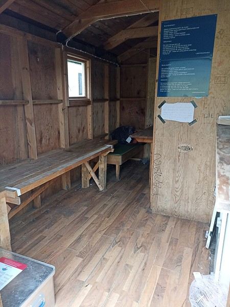
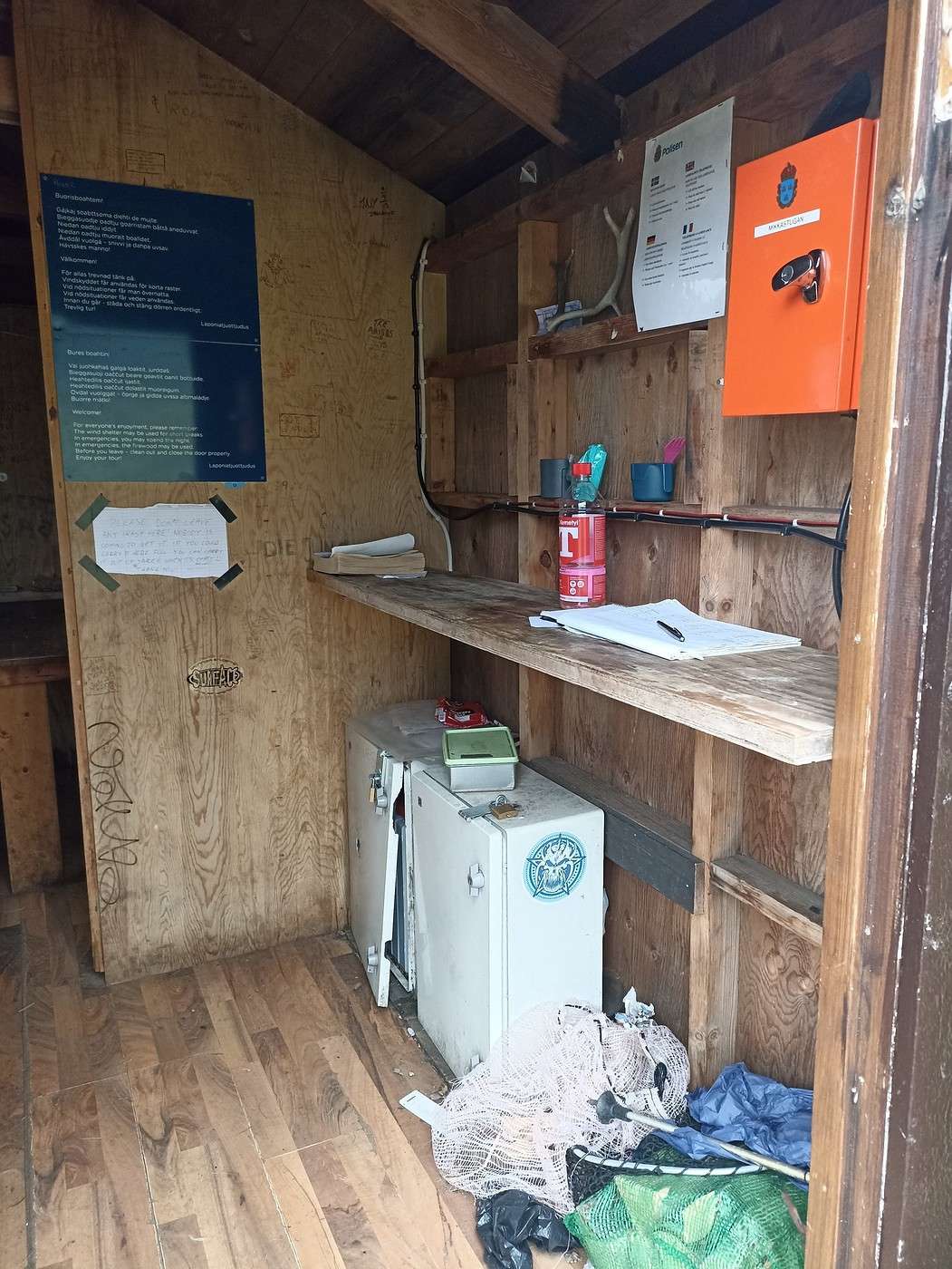
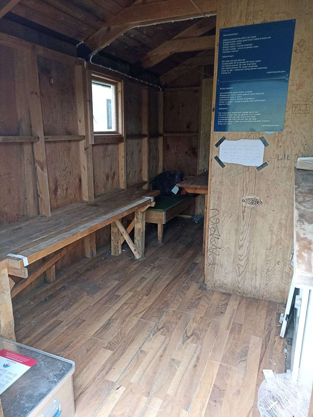
Here are two photos of the cabin—it’s not the Ritz, but when it’s raining and cold, we’re still really glad to find it!


Summary: 0 km – 0 m elevation gain / 6 kcal burned today :-)

Back to Swedish Lapland: Trekking the Kungsleden and Crossing Sarek

Calisson94 · 2026-07-21

17/08 – Ruohtesvagge

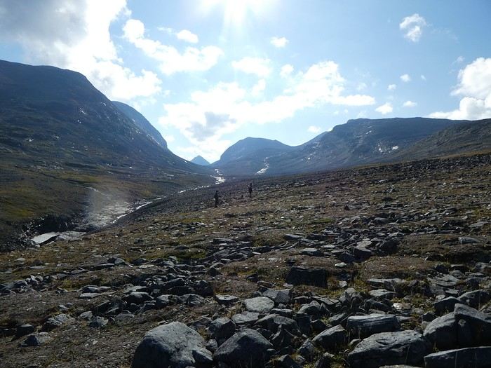
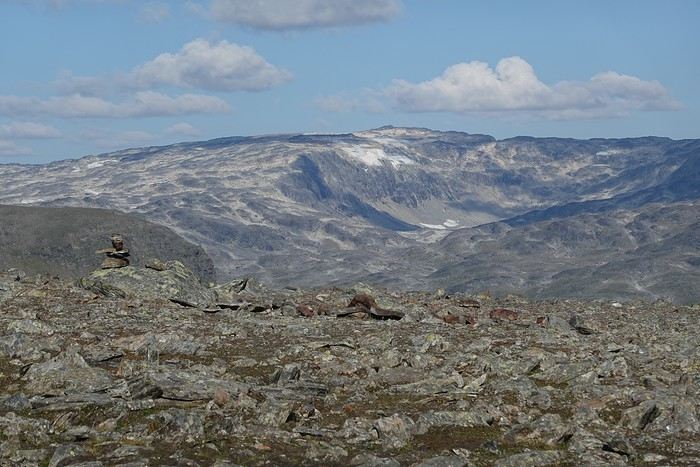
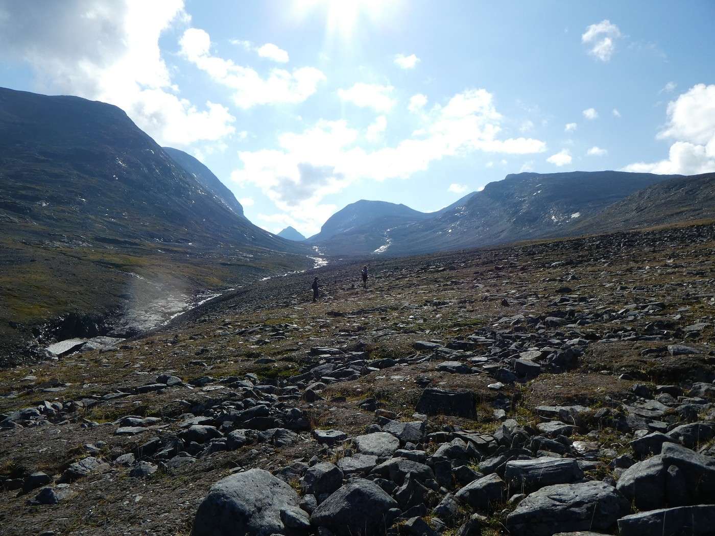
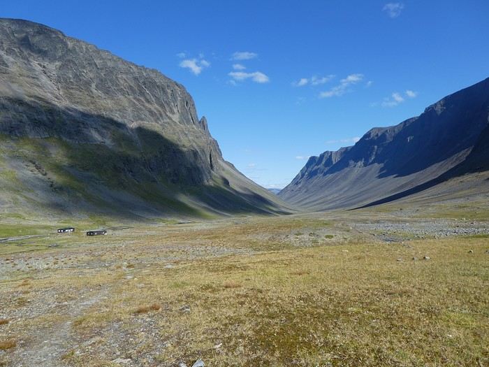
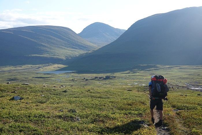
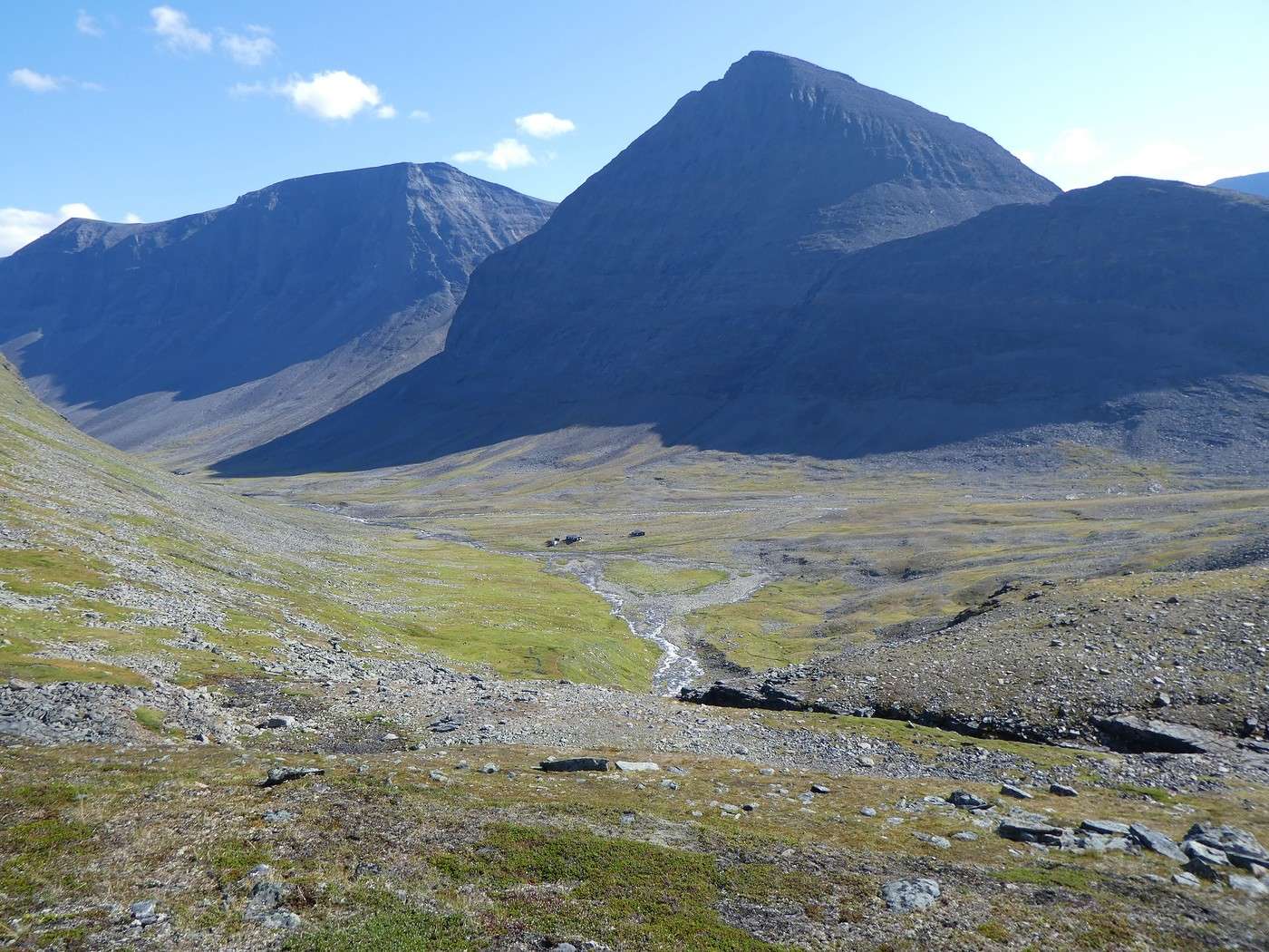
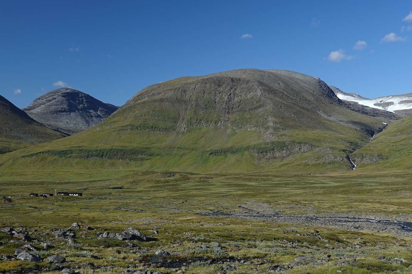
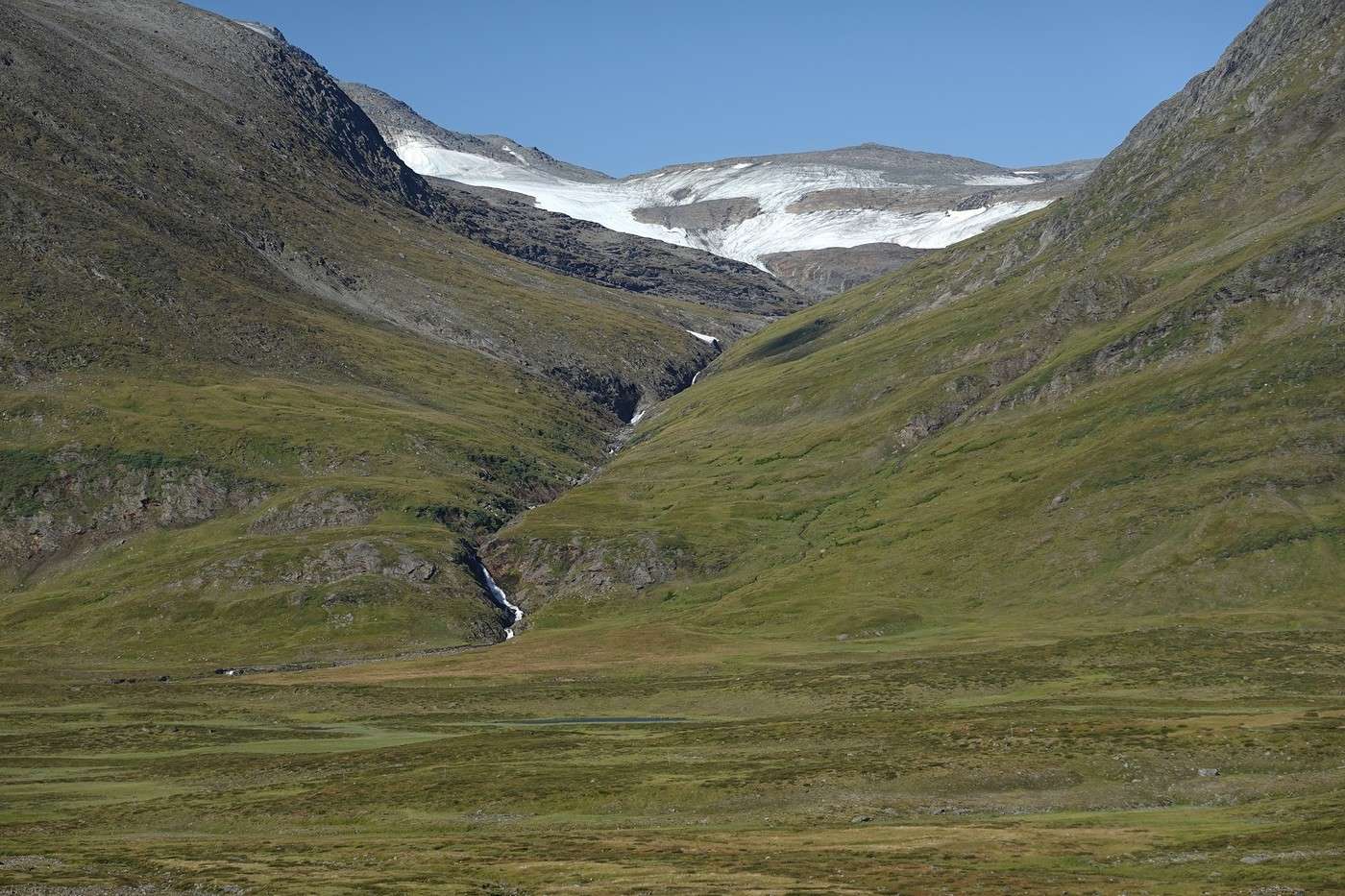
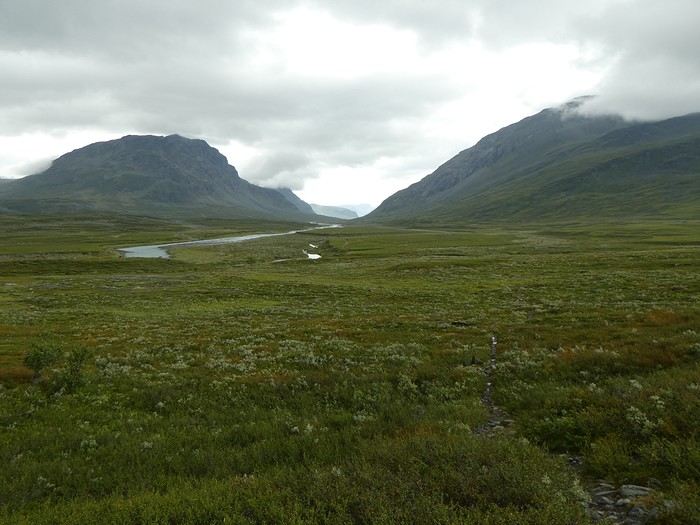
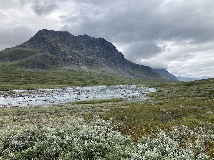
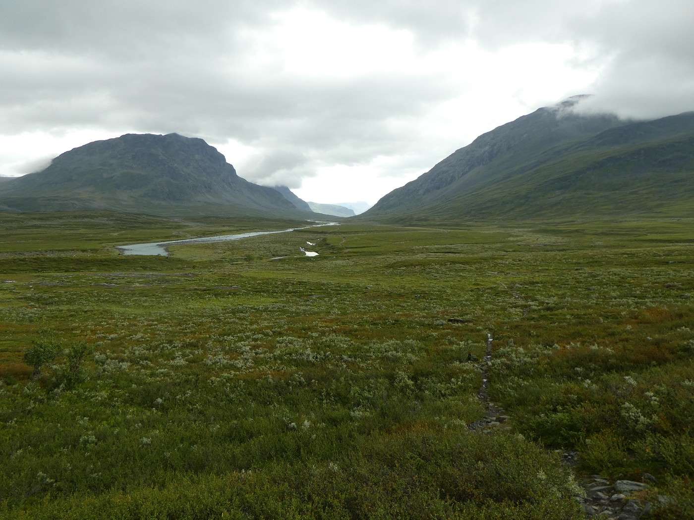
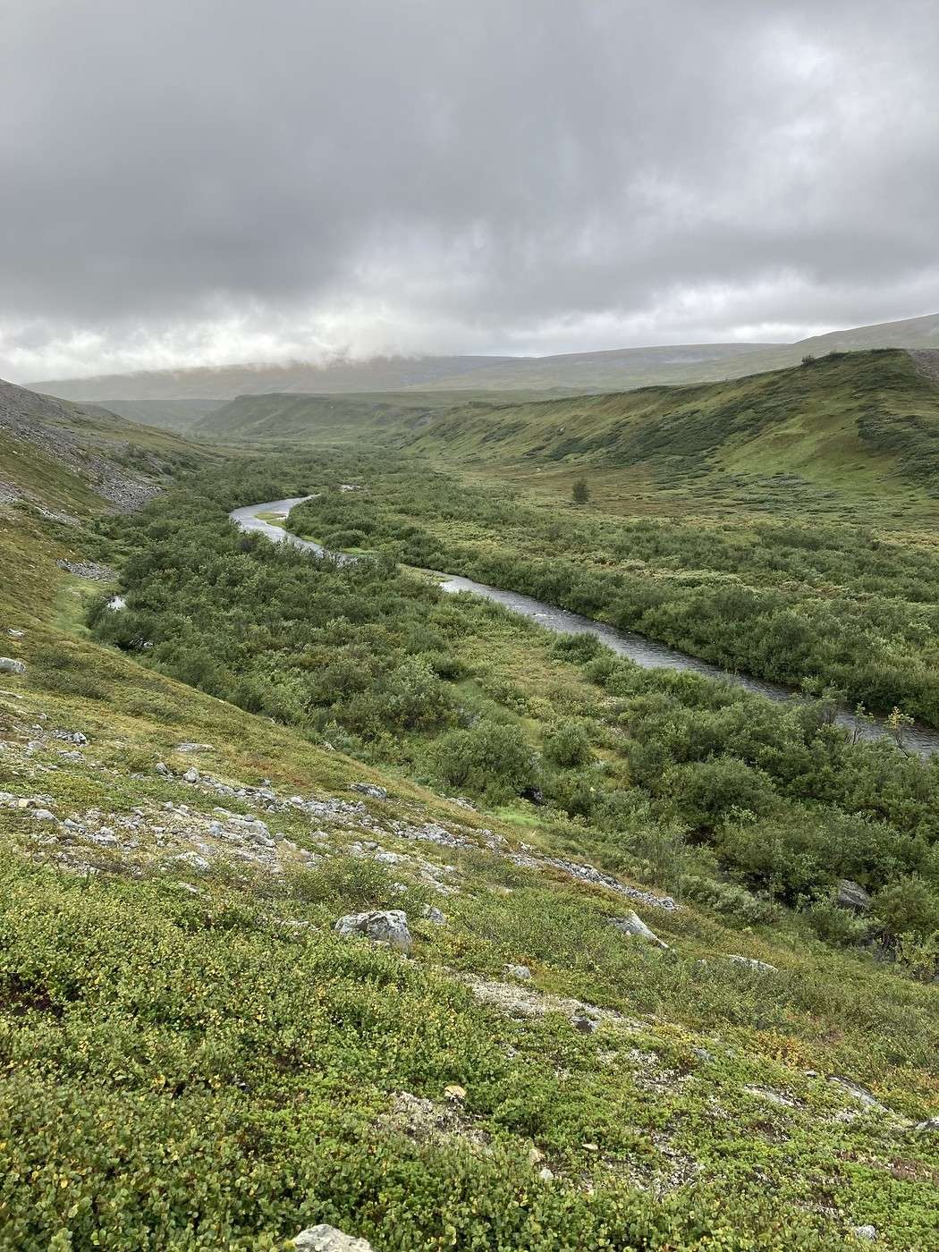
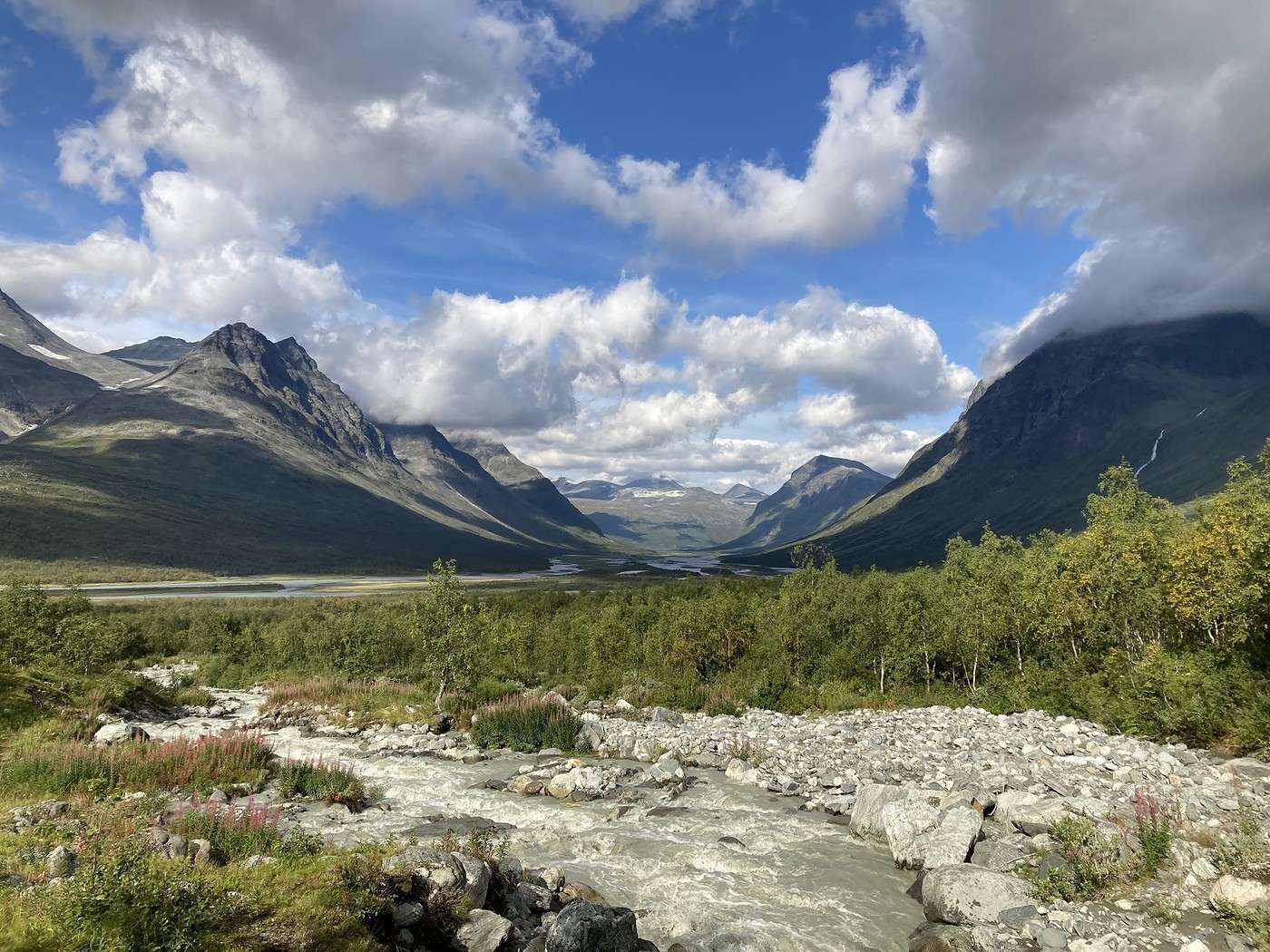
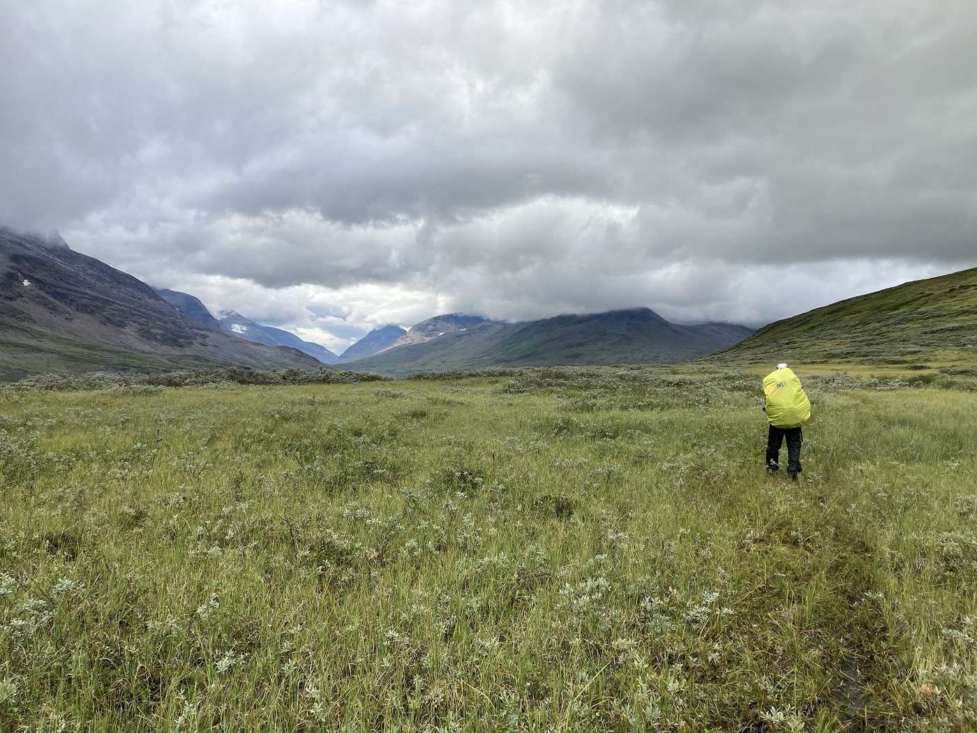
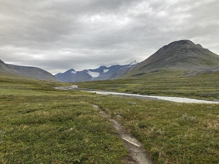
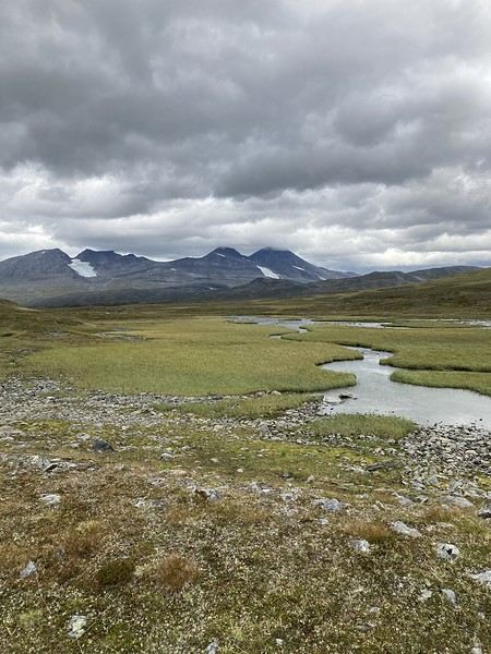
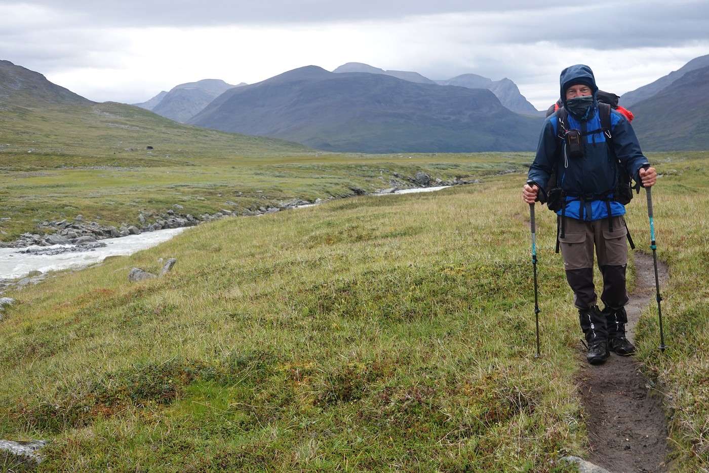
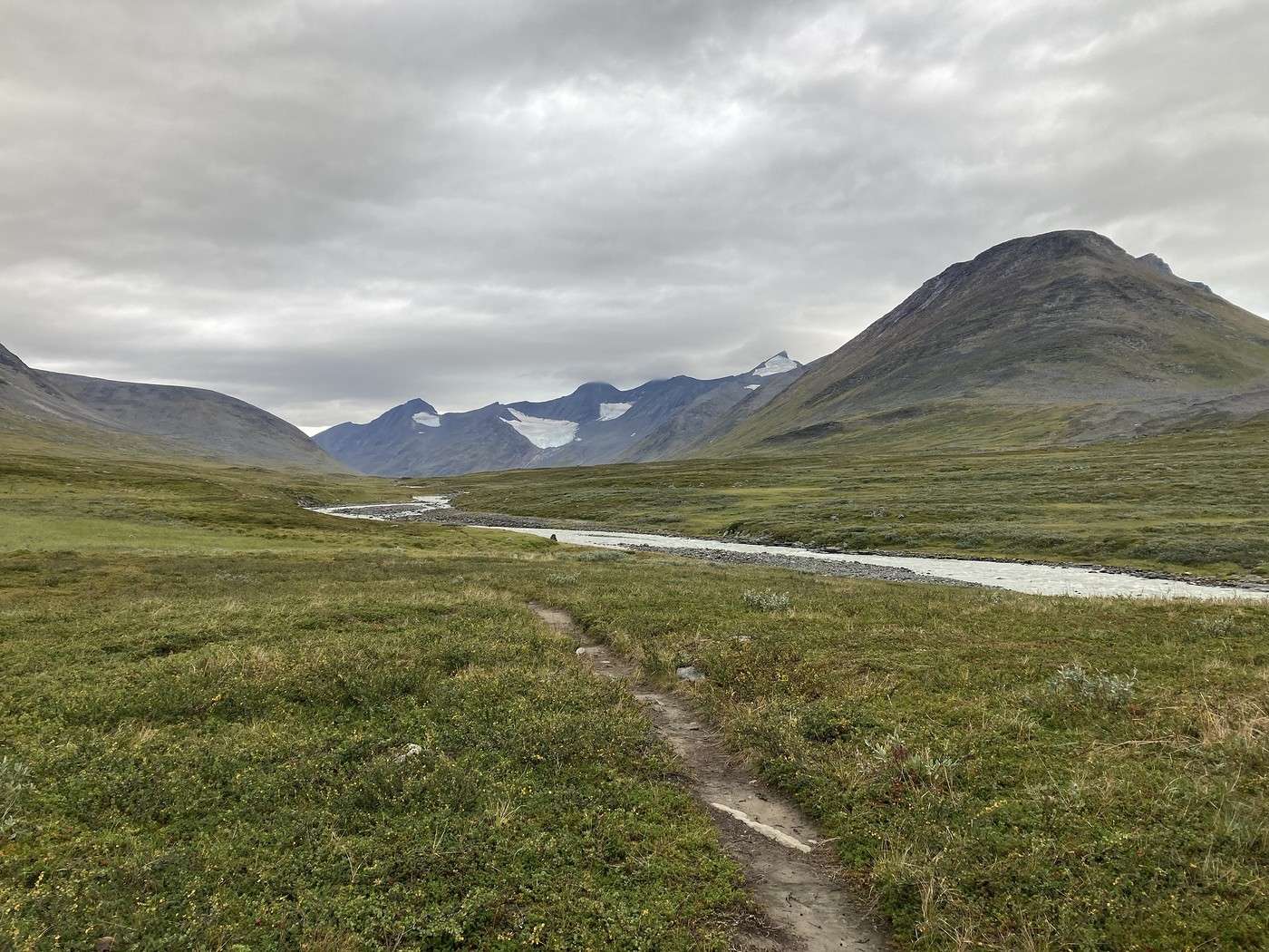
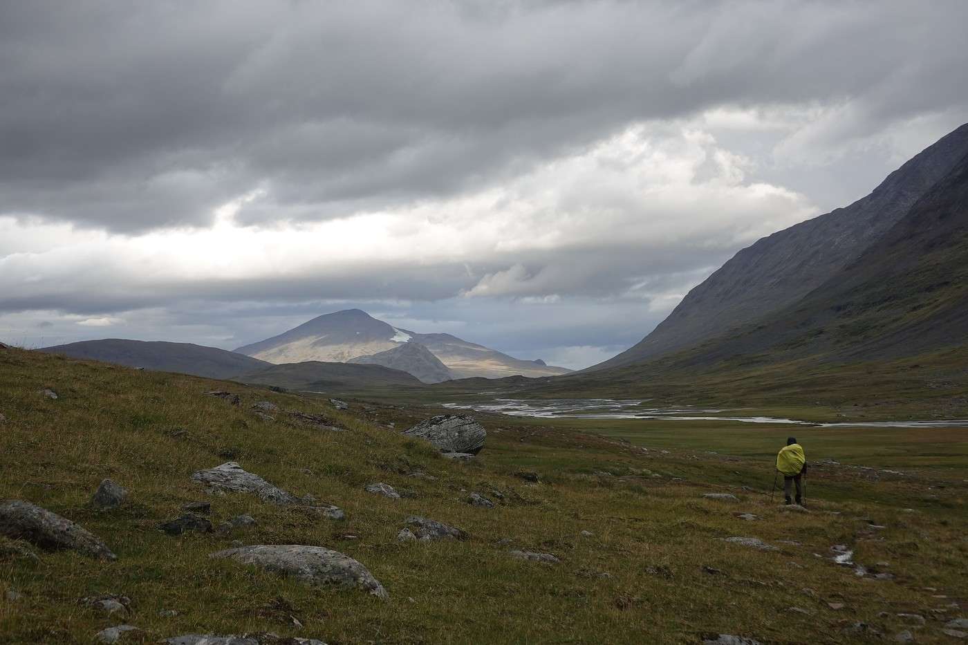
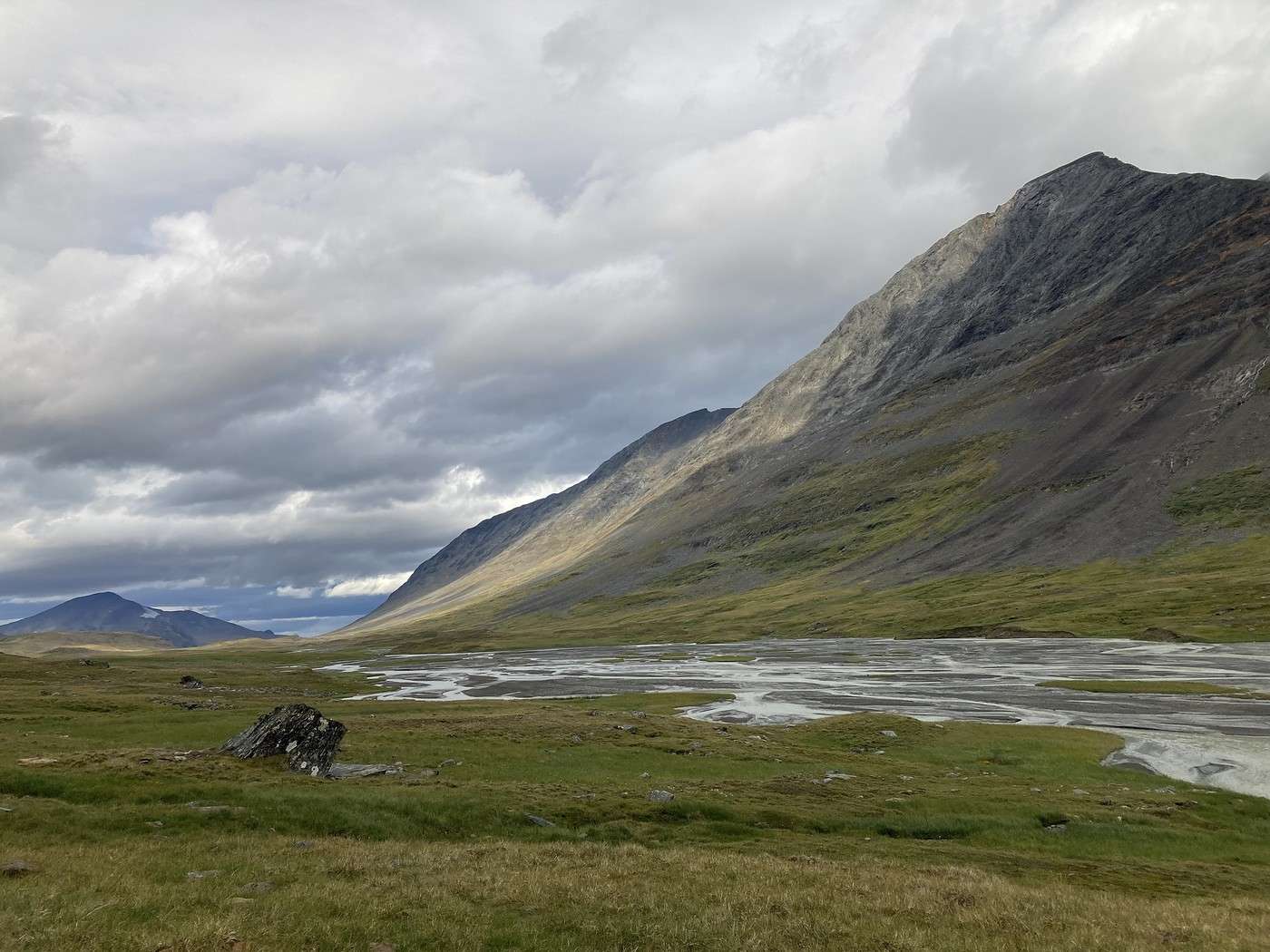
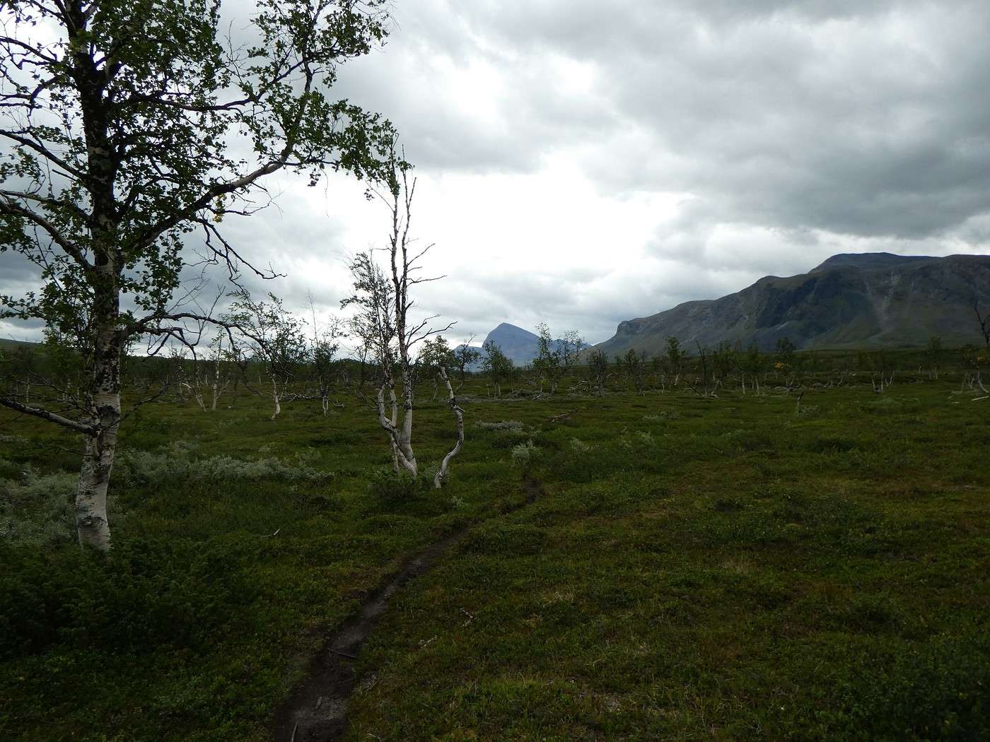
The day started in gray weather, and it felt really cold, but this Ruohtesvagge valley is stunning.


There’s a lot of mud due to the rain from the previous day.

We had to take off our shoes three times to cross fords, which didn’t help us warm up. The last ford was a navigation mistake—we could’ve done without it!


We took a quick lunch break, trying to shelter from the wind with our backpacks.

In the afternoon, it got really too cold, so we pulled out the last possible gear: gloves!

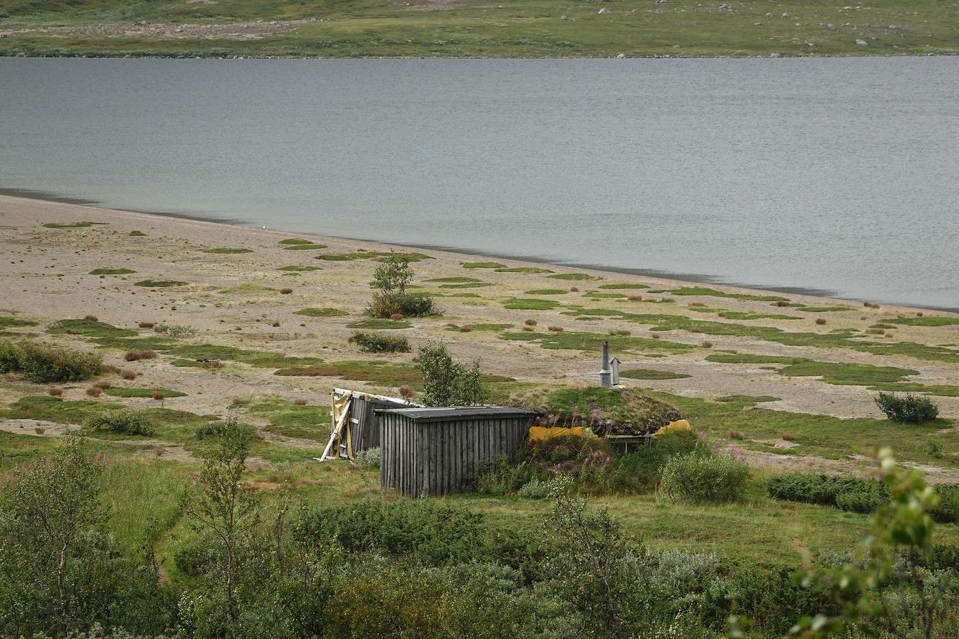
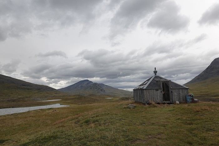
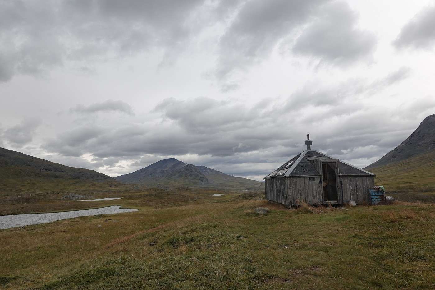
This cabin is in pretty rough shape...


Around 4 PM, we felt a few raindrops, and since we’d made good progress, we set up the tent and got cozy in our sleeping bags. Finally, some warmth! A quick 10-minute nap, then we relaxed waiting for dinnertime, which we also had in the tent.

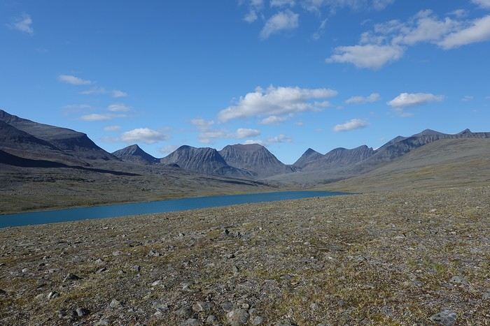
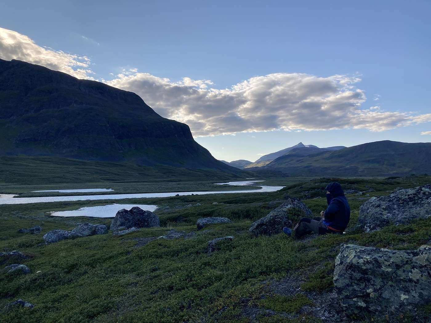
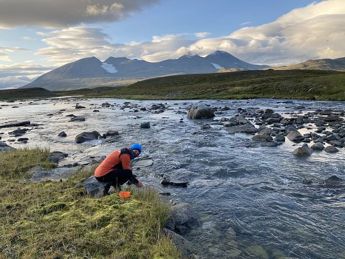
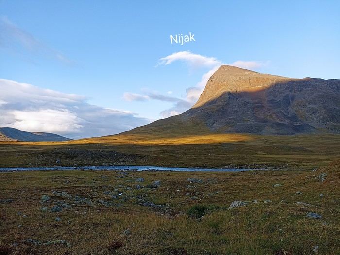
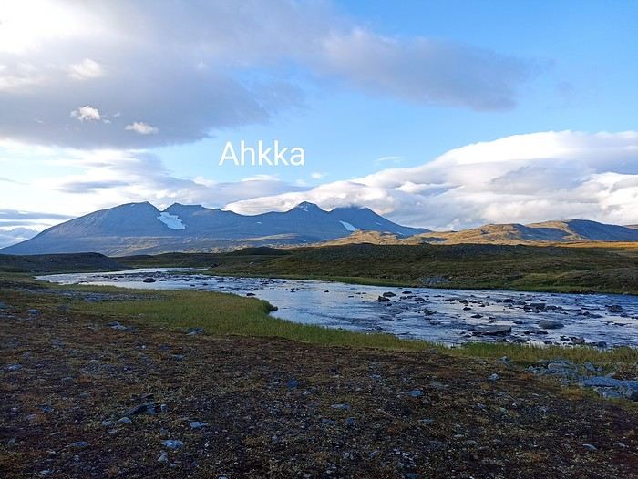
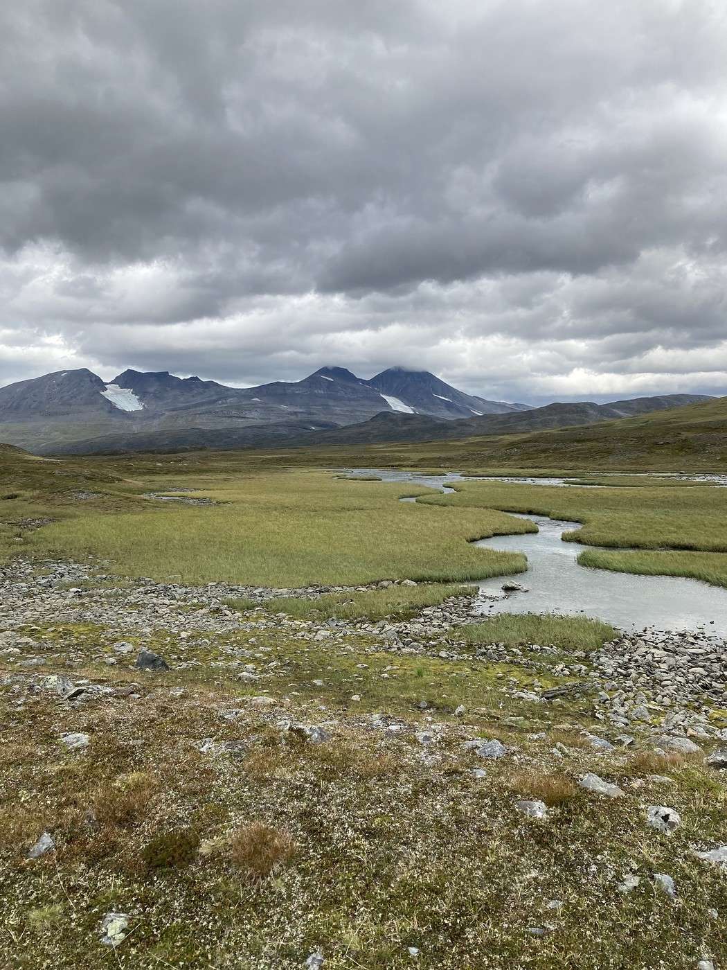
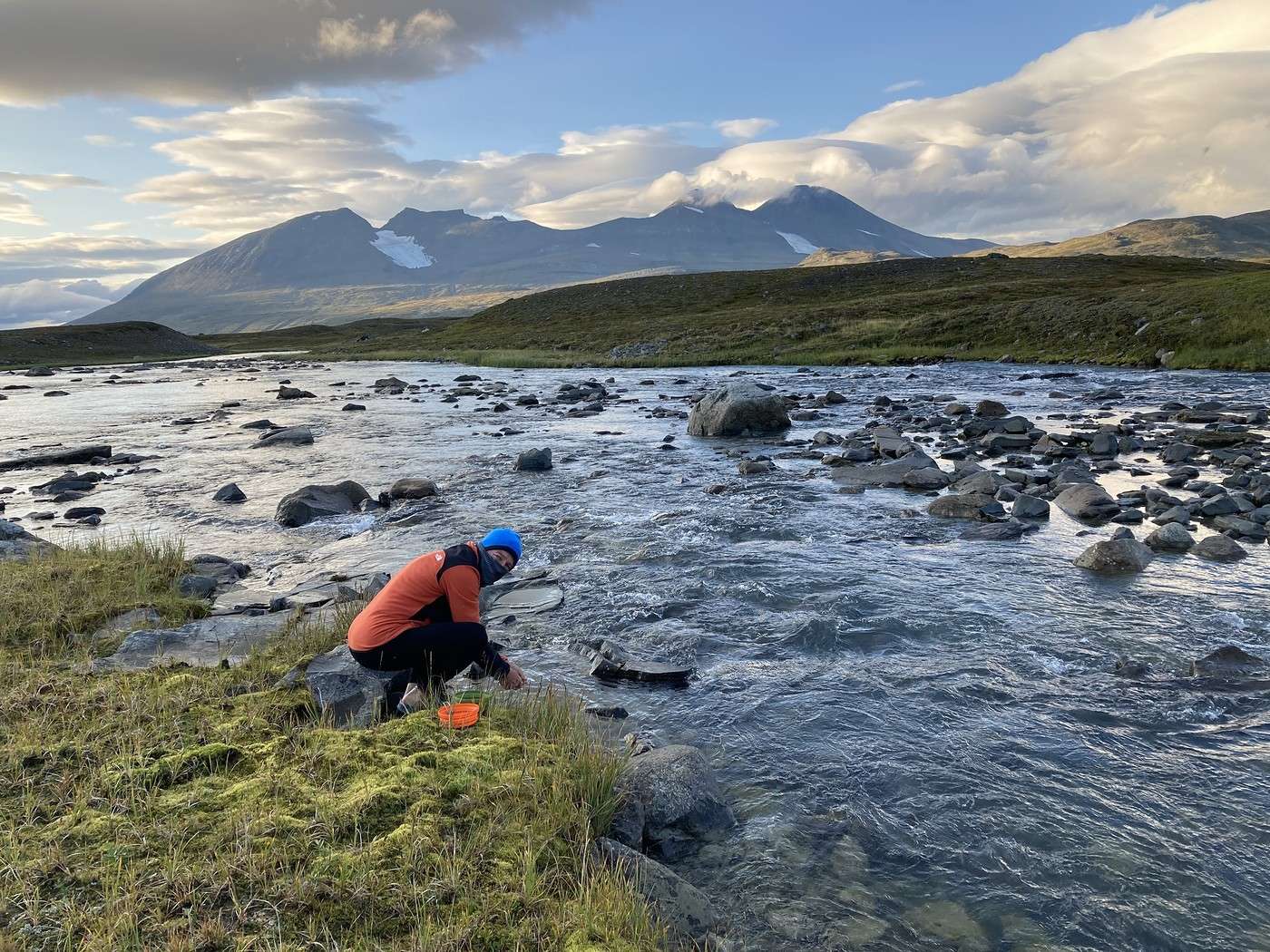
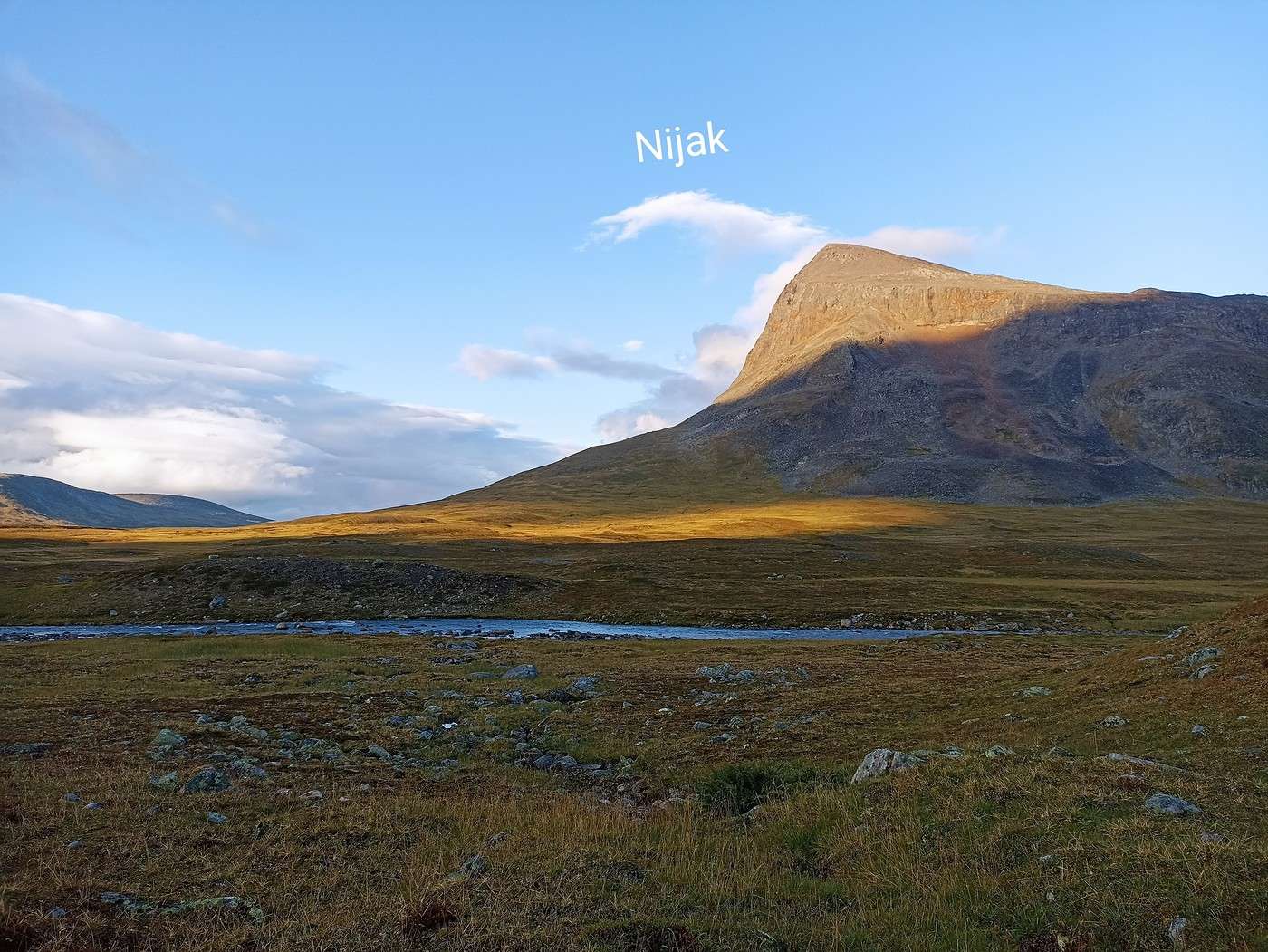
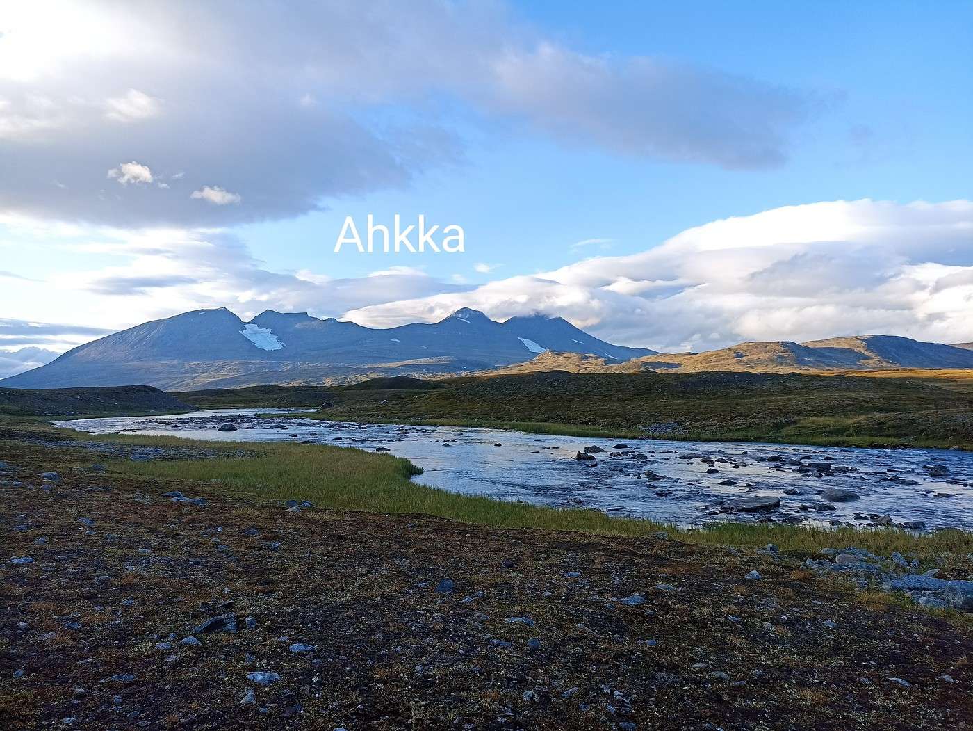
After eating, the weather cleared up, so we went out to wash the dishes and enjoy our surroundings once again—stunning: Akkha and Nijak on one side, Gisuris on the other.


Summary: 19 km – 314 m elevation gain

Back to Swedish Lapland: Trek on the Kungsleden and Crossing Sarek

Calisson94 · 2026-07-21

18/08 – Ruohtesvagge - Padjelantaleden

The night wasn’t great—too cold to sleep properly. Given the weather, we thought about ditching the idea of going up a bit, but after 15 minutes, we just had to, and off we went for a short climb at the foot of Gisuris. Plus, climbing warms you up!

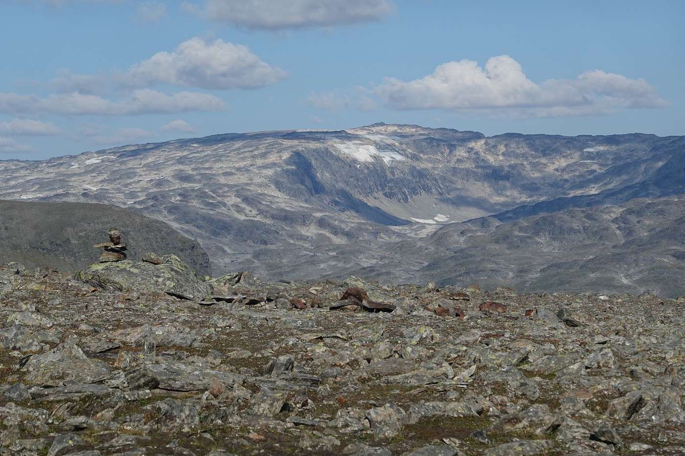
The view from up there was really nice!


On the other hand, catching up with the trail wasn’t as fun—we cut diagonally and ended up stuck in marshes and willows. It took forever to get out (and yes, I grumbled like a grouch 😏).

There are still 9 km to reach Gisuris, where we planned to go down for some supplies.


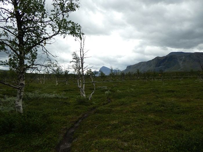
The last few kilometers were pretty tedious—we were back in the forest, and the trees looked sick, which felt a bit bleak.


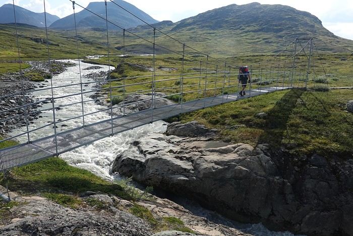
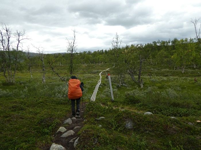
At the junction with the Padjelantaleden, we decided not to go down to Gisuris but to keep moving instead. Oh well, no supplies. Then came the return of bridges and planks—signs we were back on a marked trail!


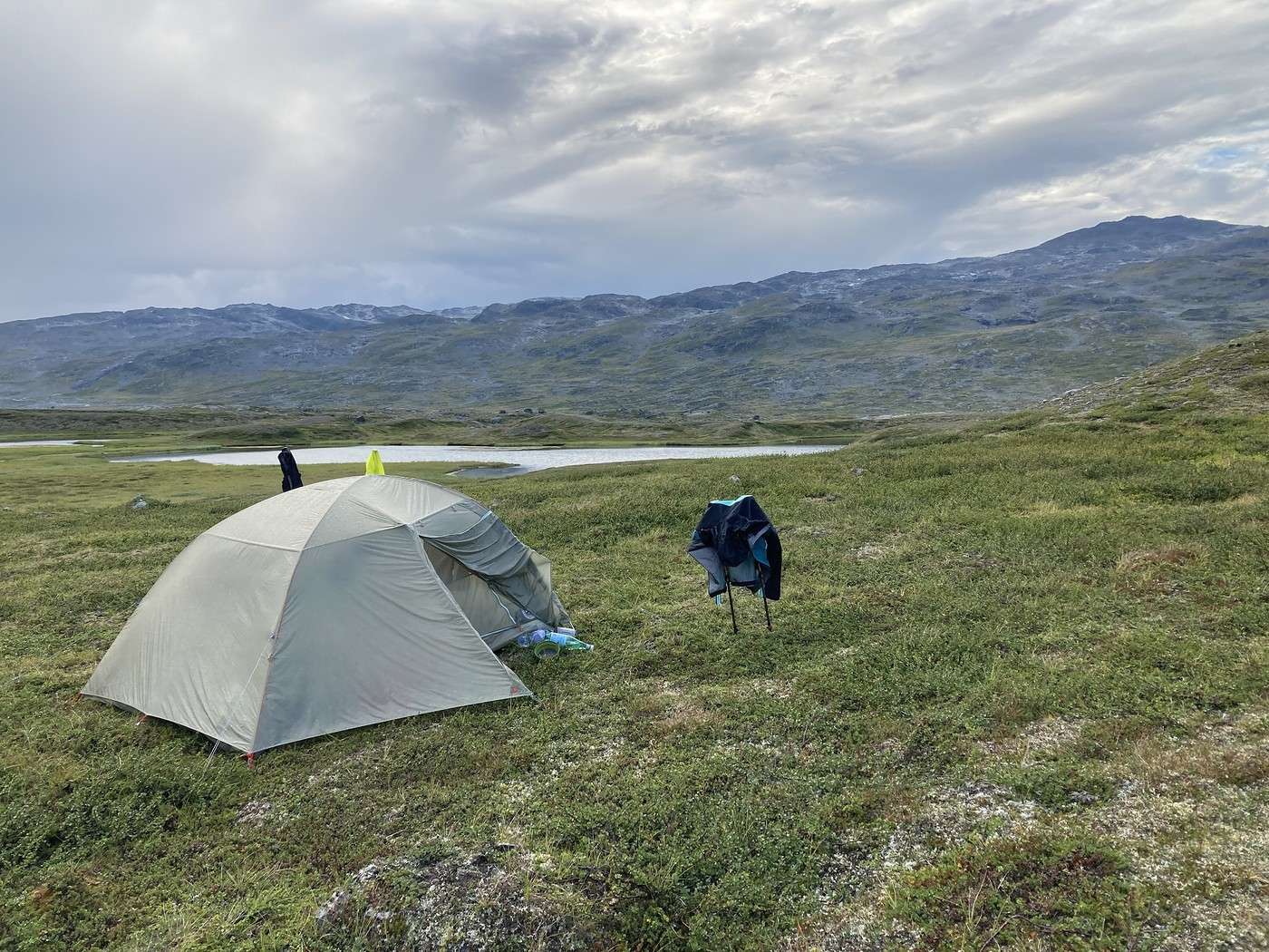
At 4:30 PM, we set up the tent a little below the trail. With the wind, there was no way we’d make the same mistake as two years ago, when I pitched the tent on a hill and spent the night battling the wind. We ate outside anyway—it felt strange to realize it was our last night camping.

But it was time to head back. We were starving, and our supplies were almost gone. We raided everything we had left, keeping just breakfast and a bit of tabbouleh and chocolate for lunch the next day.

Summary: 20.4 km – 540 m elevation gain

Retour en Laponie Suédoise : Trek sur la Kungsleden et traversée du Sarek

Calisson94 · 2026-07-22

19/08 – Ritsem – Fin du trek

Encore une bien mauvaise nuit ! Très froid et beaucoup de pluie sur la 2ème partie de nuit.

Au matin nous avons battu un record de préparation, en 1h15 nous étions partis. Il faut dire qu'il pleuvait, qu'on avait un bateau à prendre et plus de vivre pour une nouvelle nuit sous la tente ! Donc grande motivation !!

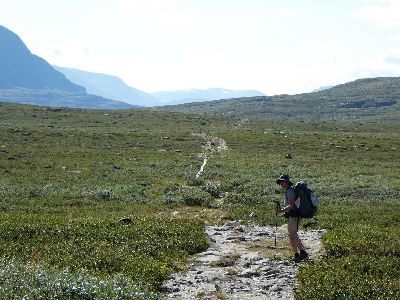
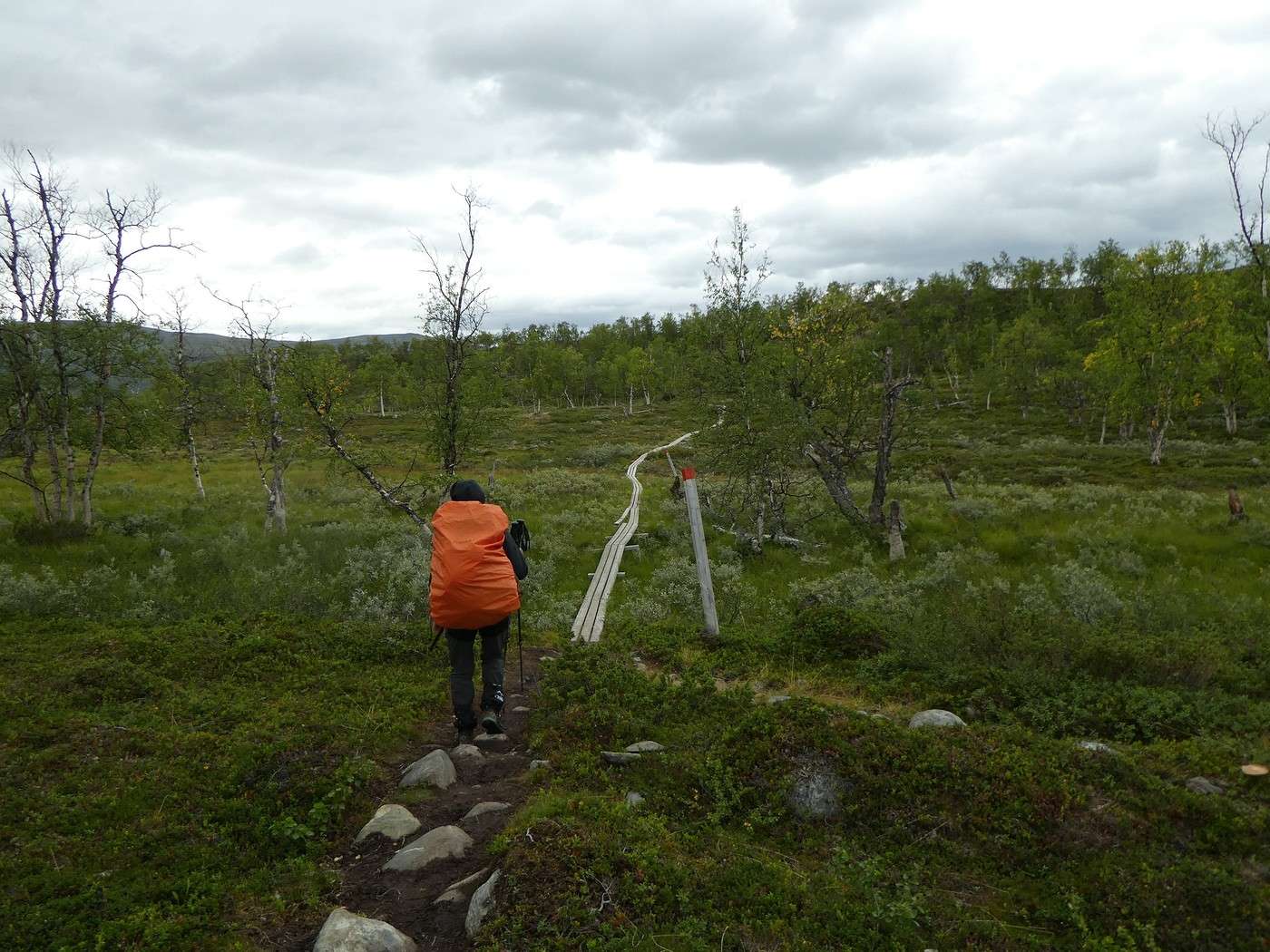
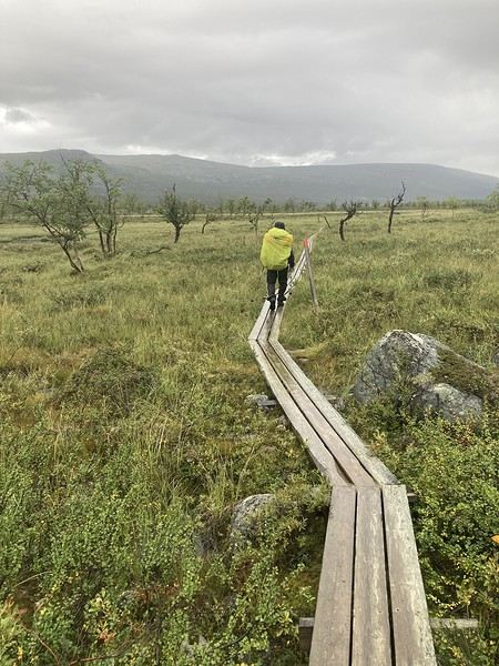
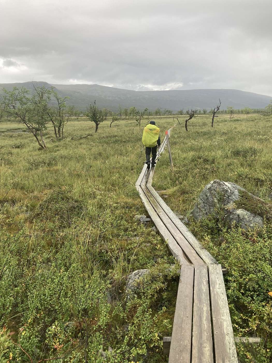
On se réjouit de ces planches qui évitent de patauger dans la boue quasi omniprésente avec la pluie de la nuit.


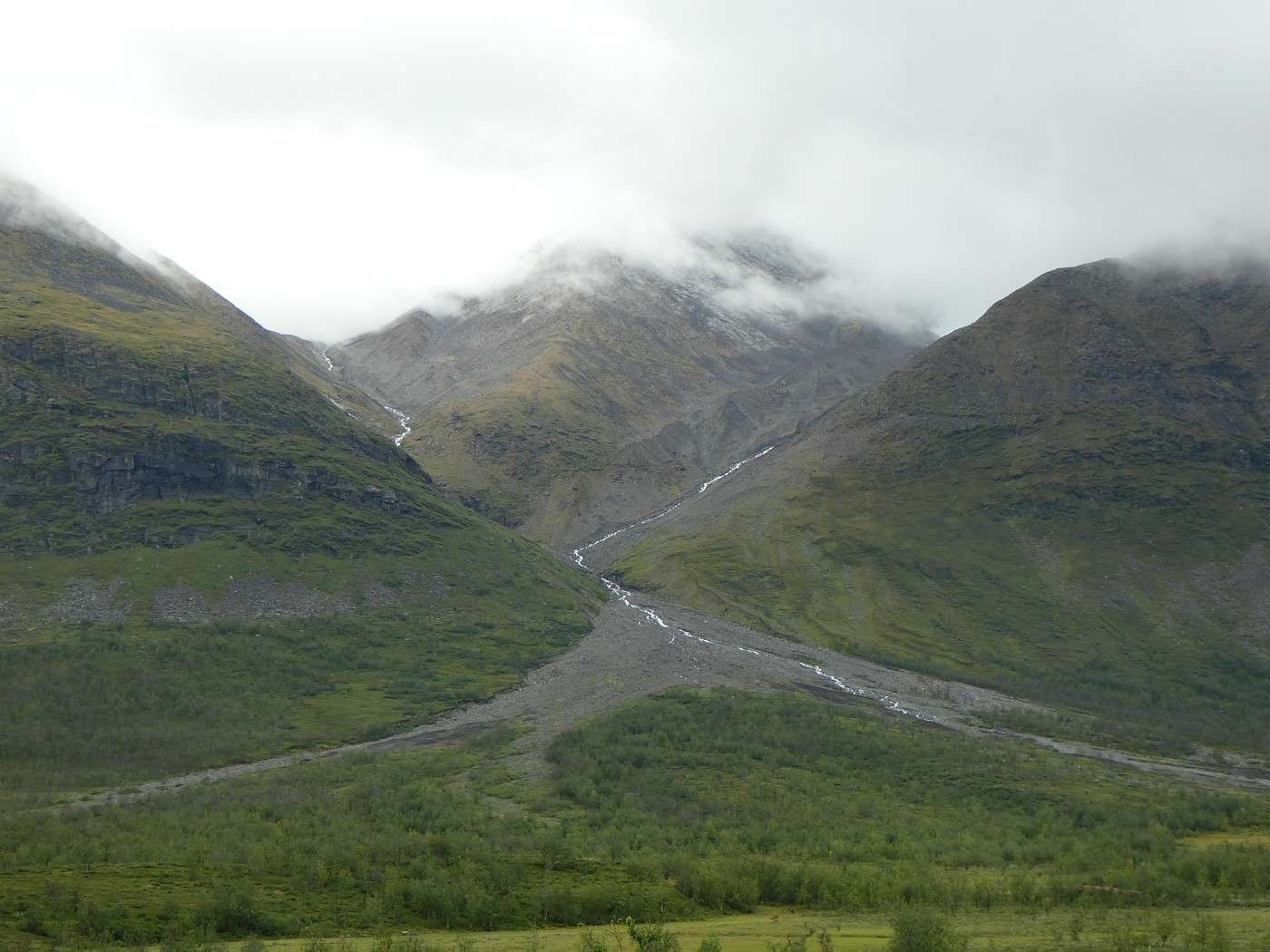
Dommage la visibilité laisse à désirer

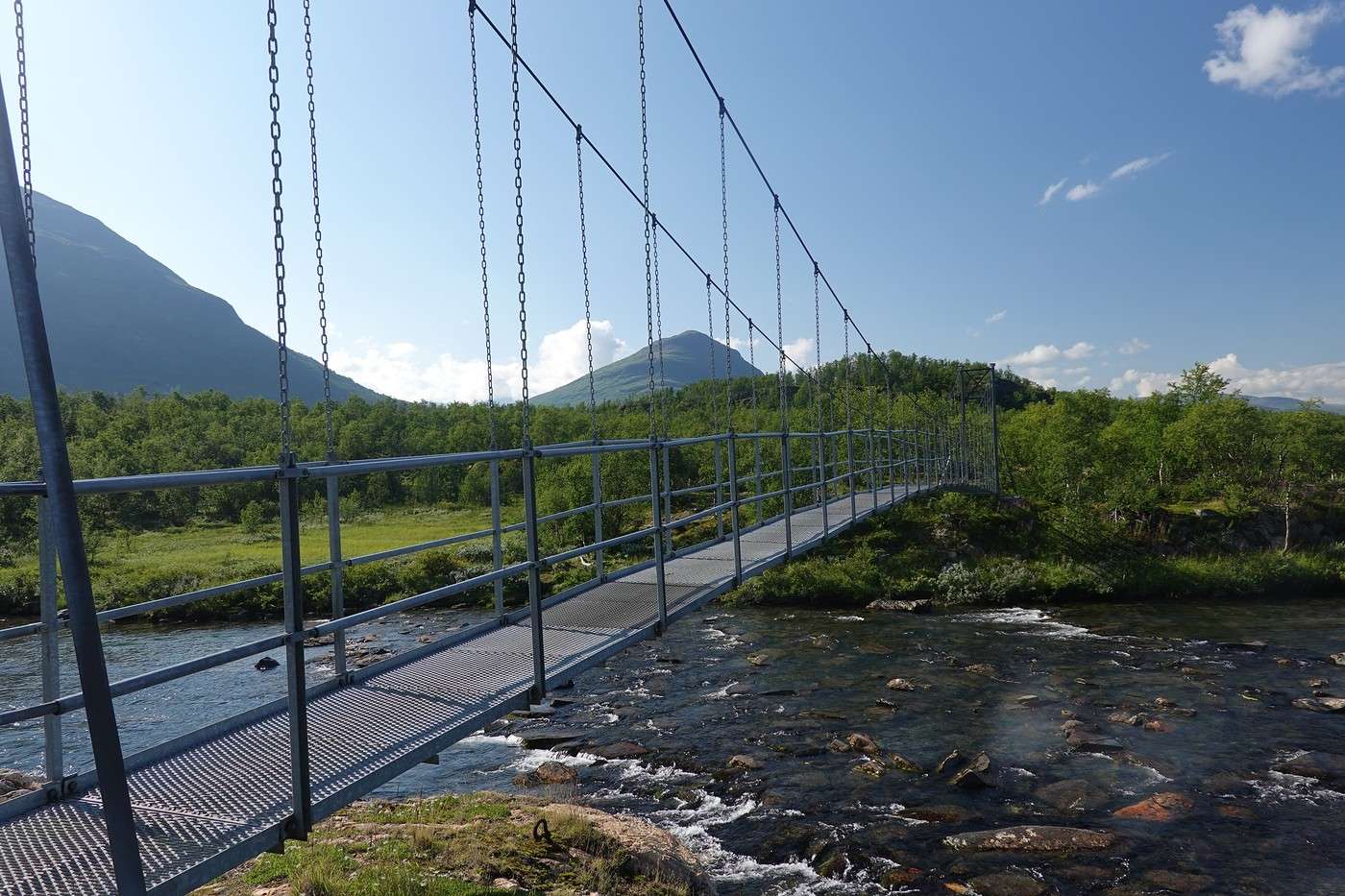
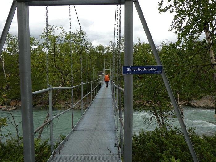
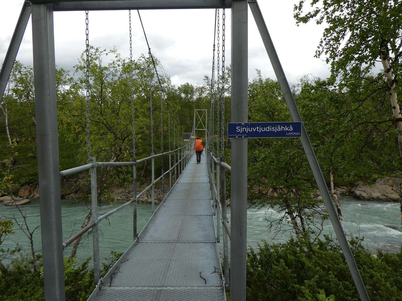
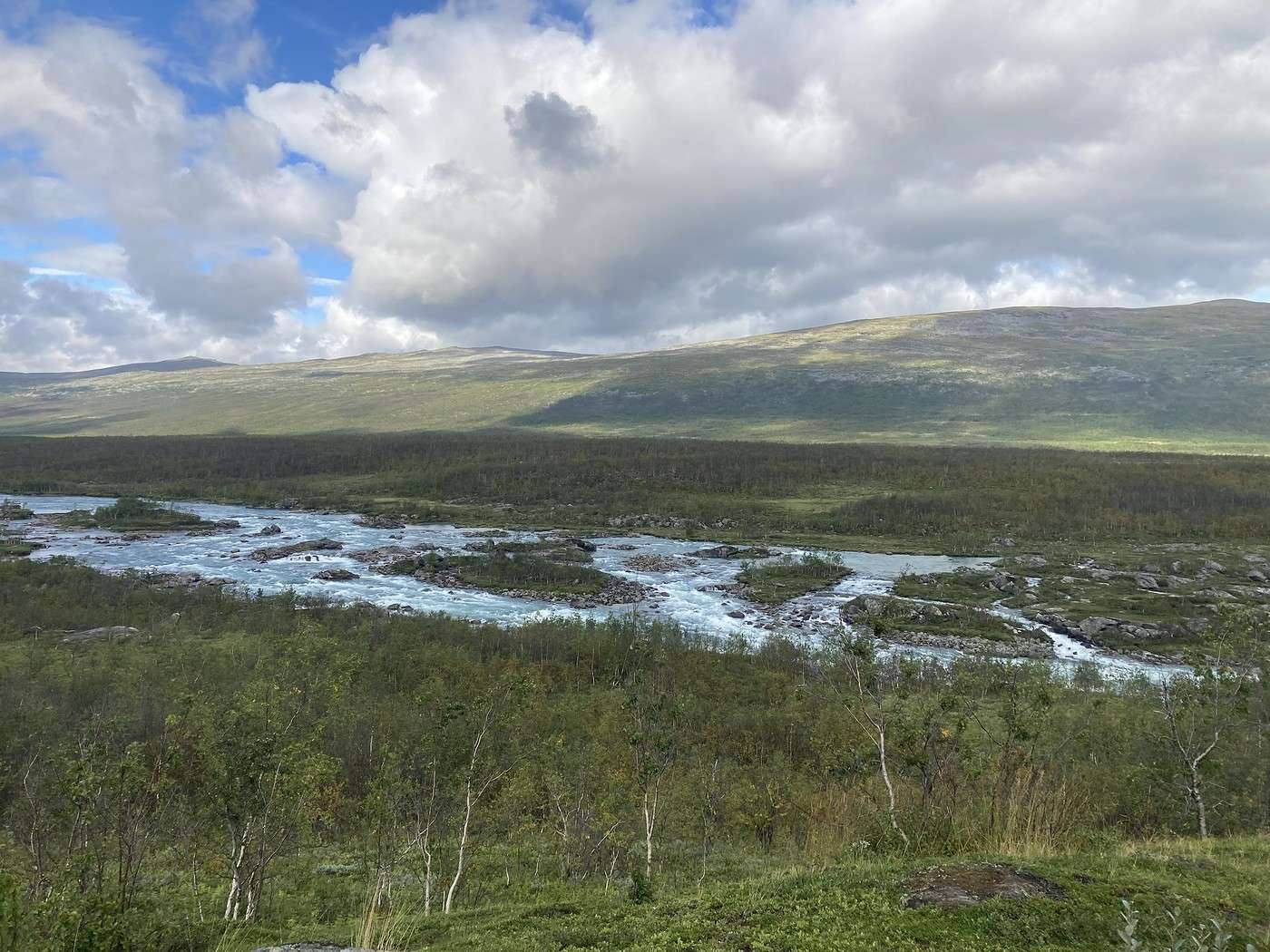
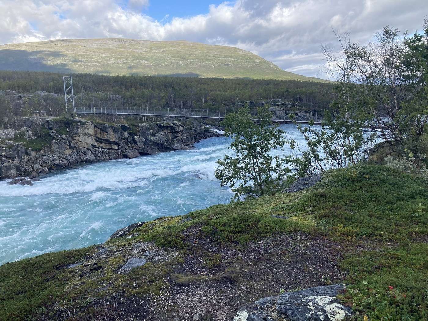
Toujours aussi impressionnant le Vuojatdno et le pont pour le traverser.


A 11h15, on s'abrite au refuge d'Akkha qui était désert pour grignoter notre taboulé et à 12h20 nous étions à l'embarcadère du bateau.


Sympa ce petit soleil, nous en profitons pour faire sécher la tente


Sur le bateau, on était comme des gosses devant la carte de la buvette : allez hop, sandwich, glace, bonbons, coca, café !!

Je me félicite d'avoir réservé une chambre à Ritsem et de ne pas à avoir à monter la tente dans le froid.

Ce soir ça sera un peu de lessive, le bonheur d'une douche chaude, chips, bières, pizza, pates, chocolat, glace achetés à la boutique, compensation totale !

Bilan : 12,6 km – 150 m de D+

Retour en Laponie Suédoise : Trek sur la Kungsleden et traversée du Sarek

Calisson94 · 2026-07-22

Rapide retour sur la fin du séjour

Au 20/08 matin, nous avons repris le bus pour Gallivare (9h45 – 13h25). Nous y avons erré avant de reprendre le train pour Lullea. J'avoue que cette ville ne nous a pas fait très bonne impression, nous l'avons trouvé triste et désertique.

A Lullea (front de mer agréable), nous avons passé une nuit à l'hotel et visité la ville église de Gammel stadt (intéressant). Puis nous avons passé 2 nuits dans une cabine au camping first camp de lullea.

Ce campind s'est avéré une erreur. Car à cette période, la saison est manifestement terminée, tous les restaus et activités sont fermées et la boutique est désertique. On s'y est ennuyé, en plus il y faisait déjà frais. Mais la cabine était sympa ainsi que le site.

Le 23 marqua le retour sur Stockholm en train de nuit, et le 24 déambulation dans la ville (toujours aussi intéressante) avant de reprendre l'avion en fin d'après midi.

Retour en Laponie Suédoise : Trek sur la Kungsleden et traversée du Sarek

Calisson94 · 2026-07-22

Bilan du trek

Malgré le froid et la météo moins sympa sur la fin, nous avons ADORE !

Sur la Kungsleden, en raison de nos itinéraires alternatifs et du bivouac qui nous a permis d'être en décalé avec ceux des refuges, nous n'avons pas souffert de la surfréquentation et nous sommes ravis de l'avoir fait.

Traverser le Sarek a été une expérience unique, un sentiment de liberté énorme mais aussi d'une certaine forme de fragilité : pas de refuge, pas de ravitaillement, pas de réseau (donc pas de visibilité sur la météo) et pas grand monde non plus. Nous avions quand même une balise PLB pour pouvoir être secouru en cas de besoin ce qui est quand même fort rassurant.

J'en profite pour glisser qu'il est vraiment nécessaire d'avoir déjà l'expérience du trek, connaître ses limites, savoir gérer l'humidité, savoir s'orienter, savoir s'arrêter, voire même savoir renoncer. Et bien sûr, être bien équipé. Ca peut paraître évident, mais c'est toujours mieux en le disant (enfin en l'écrivant)

L'itinéraire que nous avons suivi est réputé parmi les plus faciles et parfait pour une 1ère découverte. Il nous a donné drôlement envie d'y revenir pour explorer d'autres secteurs. Par contre, peut être un peu plus tôt en saison car nous avons eu drôlement froid sur la fin. Mais quasi aucun moustique, ce qui est quand même un avantage énorme si vous avez déjà visionné des vidéo de ce que ça peut donner !!

Et nous n'en revenons toujours pas d'avoir croisé ces 3 ours !

Pour terminer, voici un petit bilan kilométrique :

Kunsgleden 1ère partie : 127,5 km - 3415 m de D+ et 3345m de D- Kunsgleden 2ème partie : 35,6 km - 1290m de D+ et 695 m de D- Sarek : 82,2 km – 2195 m de D+ et 2650m de D- Padjelantaleden : 12,6 km – 150 m de D+ et 250 m de D-

Ce qui donne avec la balade à Saltoluokta : 270 km - 17j – 7500 m de D+ et 7380 m de D-

Voilà, it's the end. Je salue ceux qui auront fait un tour sur ce carnet


VoyageForum — the largest community of French-speaking travellers.