★ 3 · last edited Dec 11, 2019
Merzouga
Location verified location
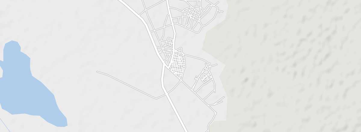 Merzouga
Open the interactive map
Merzouga
Open the interactive map
The village is famous for its Erg Chebbi dunes, the tallest in Morocco. The area also offers numerous hiking opportunities.
Overview of Merzouga
South of Tafilalet, the village of Merzouga is renowned for its Erg Chebbi dunes, the tallest in Morocco. The area also offers a wide range of hiking options. In short, Merzouga is one of the highlights of Saharan tourism.
Key Details
- Type of place: village.
- Tourist interest: (recommended).
- Location: in southeastern Morocco, a few kilometres from the Algerian border.
- Distances: Erfoud (60 km to the north), Errachidia (130 km to the north), Rissani (40 km to the north). Algerian border (50 km).
- Local time: .
- Population: 500 inhabitants (2012).
- Area:
- Altitude: 700 m.
- Website:
History of Merzouga
What to See and Do in Merzouga
Desert Exploration
Given its position at the foot of the first dunes, Merzouga is the starting point for numerous excursions, including camel treks, 4x4 tours, motorbike rides, and quad biking in the area. The Erg Chebbi, with its towering dunes reaching up to 150 m in height, is the main exploration zone, whether for a day trip or a much longer stay. The panorama is most spectacular at sunrise or sunset.
Organising a Desert Excursion
Several agencies in Merzouga, as well as in nearby Erfoud or Rissani, offer a variety of services.
In the Surrounding Area
Climate and Weather in Merzouga
Transport
Getting There
Getting Around
The village is small, so you can explore it on foot. For excursions in the surrounding area, agencies handle the transport.
Accommodation
As Merzouga has become a popular destination for desert lovers, a range of hotels, guesthouses, and bivouacs have sprung up.
Food
The village has several cafés, restaurants, and shops.