Après qq recherches, voici les réponses à ta question :
- Tsonjiin Chuluu => N45°58.923 E111°26.172, la photo de Google Earth est donc bien placée.
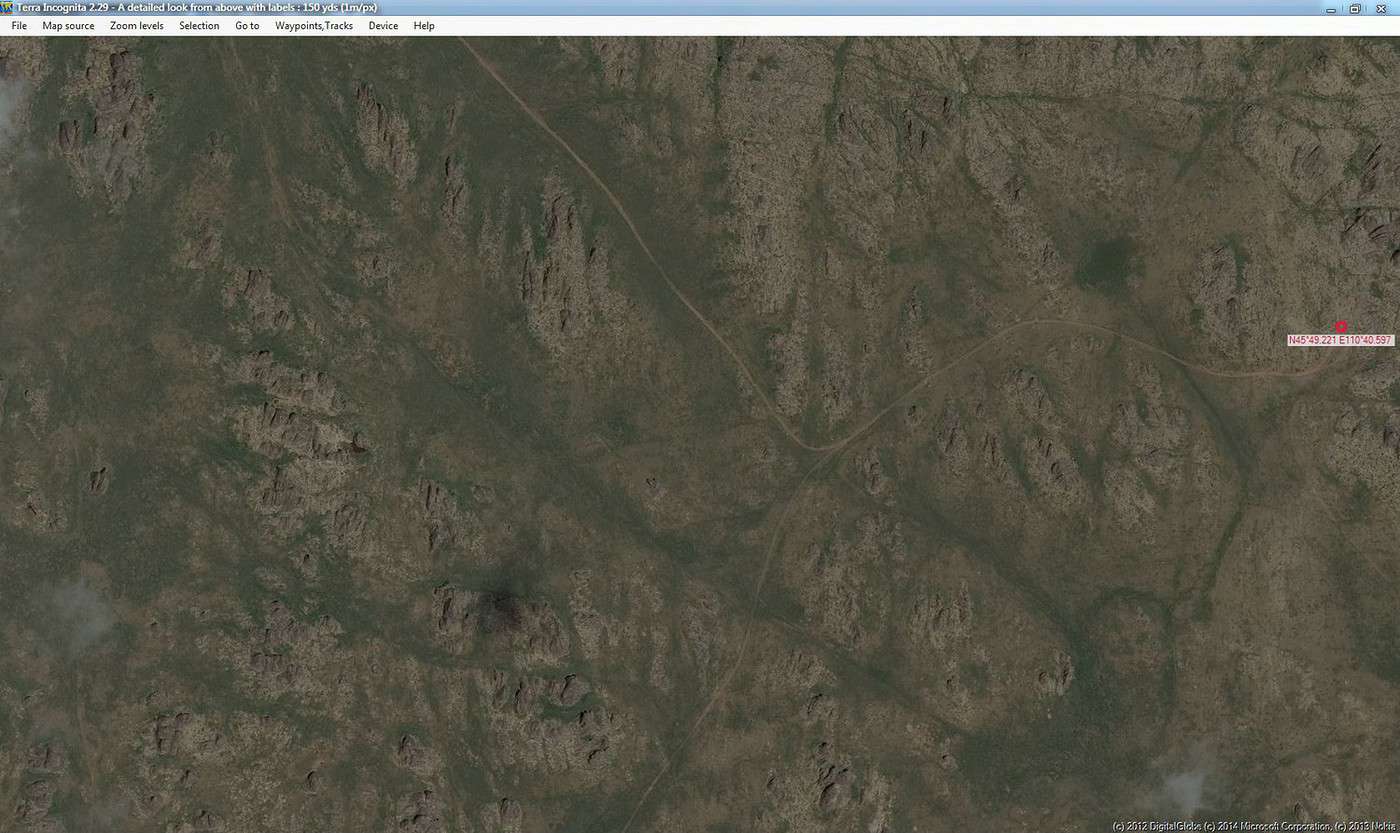
- Senjit Khad => N45°49.221 E110°40.597.
La référence est cette page internet :
http://confluence.org/confluence.php?lat=46&lon=111
extrait :
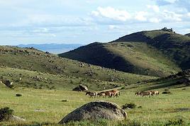
" On the way, we traveled by some natural amazing places of Mongolia, including the small rock mount of Tsonjiin chuluu which has basalt formations in the area of Delgerekh soum, Dornogobi aimag which is located at the point of N45.58.923; E111.26.172. It is an amazingly regular hexagonal columnar structure resembling 6 sided symmetrical crystals and gray colored. If it was faceting, it would be shining darkly. Local people said that there is thunderstorm not-rarely and when it has a thunderstorm, the stone would be broken. The science explained that when the basalt was in liquid, it was under the heavy pressure and it becomes polyhedron columnar structure. Tsonjiin chuluu is one of the extraordinaire natural formation and creation of Mother Nature. Although there are several such places in Mongolia, there is no any 6-sided-symmetrical-stone such as Tsonjiin Chuluu in Mongolia. Moreover, it is very rare in the world. Then we have reached to the one of 9 amazing places of Dornogobi aimag, Shiriin Chuluu at the point of N45.49.221; E110.40.597 which is located 40 km away from the soum centre of Altanshiree, Dornogobi aimag. It has a length of 15 km, and width of 2 km. As looking far from there, it looks like a threatening lion. It consists of around 10 rocks; some of them have writing on them. Since thousands years ago, Senjit khad has been disintegrating by sun and wind, and it becomes a beautiful natural rock in the world. And it has a height of 4-5 meters and a diameter of 8*10 cm."
Il y a une petite incohérence ds le texte avec les 2 noms de lieu, mais je pense que ns tenons les positions géographiques.
cordialement
http://www.larouteaulongcours.fr


 le point d'entrée est le 11... ensuite il suffit de suivre...