★ 3 · last edited Aug 5, 2020
Calvados
Contributionsversion #3created Aug 5, 2020Report this pageLatest contributions in this guideContributors to this guide
Location verified location
 Calvados
Open the interactive map
Calvados
Open the interactive map
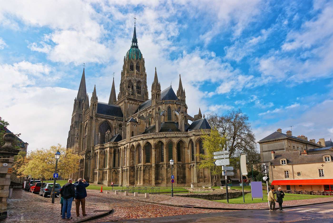
While Calvados is the department of the *Côte Fleurie*, Honfleur, Cabourg, Deauville, and a few other well-known seaside resorts, it is also a major site for remembrance tourism, with the D-Day landing beaches and numerous memorials and museums dedicated to World War II. Visitors come for history as much as for the seaside, but far less for landscapes or outdoor activities—though the *bocage* and *Suisse normande* are still worth a detour.
Overview
Key facts
- Type of place: department.
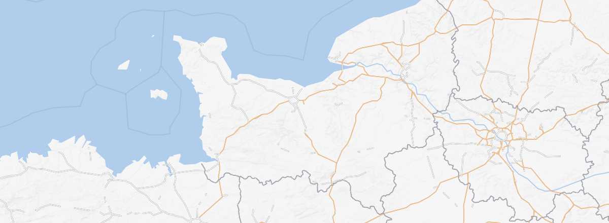
- Location: along the English Channel, roughly between Rennes and Rouen.
- Department code: 14.
- Bordering departments: Seine-Maritime to the northeast, Eure to the east, Orne to the south, and Manche to the west.
- Prefecture: Caen.
- Sub-prefectures: Bayeux, Lisieux, Vire-Normandie.
- Number of municipalities: 538.
- Population: 694,002 inhabitants (2017).
- Area: 5,548 km².
- Density: 125 inhabitants/km².
- Highest point: Le Plessis-Grimoult (361 m).
- Lowest point: sea level.
- Coastline:
- Highlights (out of ): Nature / ; Culture ; Relaxation-holidays
- Website: http://www.calvados-tourisme.com
History of Calvados
Geography and environment
Culture and economy
What to see in Calvados
While Calvados is the department of the Flower Coast, Honfleur, Cabourg, Deauville, and a few other well-known seaside resorts, it is also a major site for remembrance tourism, with the D-Day Landing Beaches and numerous memorials and museums dedicated to World War II. Visitors come for history as much as for the seaside, but far less for landscapes or outdoor activities—though the *bocage* and Norman Switzerland are still worth a detour.
What to do in Calvados
Climate and weather
Sea temperature throughout the year
| Jan. | Feb. | Mar. | Apr. | May | Jun. | Jul. | Aug. | Sep. | Oct. | Nov. | Dec. | |
|---|---|---|---|---|---|---|---|---|---|---|---|---|
| Calvados | 7 | 7 | 7 | 9 | 11 | 13 | 16 | 17 | 16 | 14 | 11 | 9 |