★ 1 · last edited Dec 11, 2019
Vire Normandy
Contributionsversion #1created Dec 11, 2019Report this pageLatest contributions in this guideContributors to this guide
Location verified location
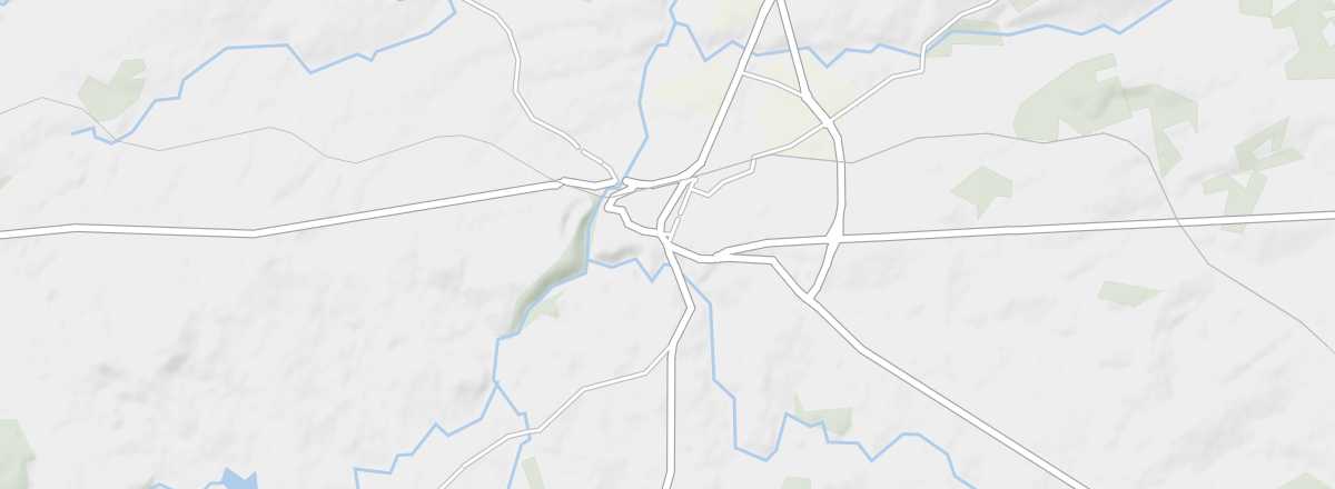 Vire Normandy
Open the interactive map
Vire Normandy
Open the interactive map
This sub-prefecture, first known for its andouille (a type of sausage), has preserved several remnants of its past (keep, ramparts, and several churches).
Overview of Vire Normandy
In 2016, the town of Vire merged with seven others to form the new municipality of Vire Normandy. This sub-prefecture, first known for its andouille (a type of sausage), has preserved several remnants of its past (keep, ramparts, and several churches).
Key Facts
- Type de lieu: small town.
- Intérêt touristique: (worth a stop if you are in the area).
- Localisation: in the southwest of the Calvados department.
- Distances:
- Heure locale: .
- Population: 17,839 inhabitants (2014).
- Superficie: 138.52 km².
- Altitude: from 84 to 351 m.
- Site internet: http://www.bocage-normand.com
History of Vire Normandy
What to See and Do
Vire Normandie Museum
Discover Normandy and the *bocage* through history and the arts, presented in the 18th-century buildings of the Hôtel-Dieu.
Discover Normandy and the *bocage* through history and the arts, presented in the 18th-century buildings of the Hôtel-Dieu.
Vire
The tourist interest of the new municipality is concentrated in the centre of old Vire, with the ruins of the castle and the old city walls, as well as several churches.
The tourist interest of the new municipality is concentrated in the centre of old Vire, with the ruins of the castle and the old city walls, as well as several churches.
In the Surrounding Area
Climate and Weather
Transportation
Getting There
Getting Around
Accommodation
Food
Useful Addresses
- == Additional Information
Worth a look / Other
Vire Normandie Museum
★ Discover Normandy and the *bocage* through history and the arts, presented in the 18th-century buildings of the Hôtel-Dieu.
Vire
★ The tourist interest of the new municipality is concentrated in the centre of old Vire, with the ruins of the castle and the old city…