last edited Dec 11, 2019
Getting to El Hierro
Location Map of El Hierro
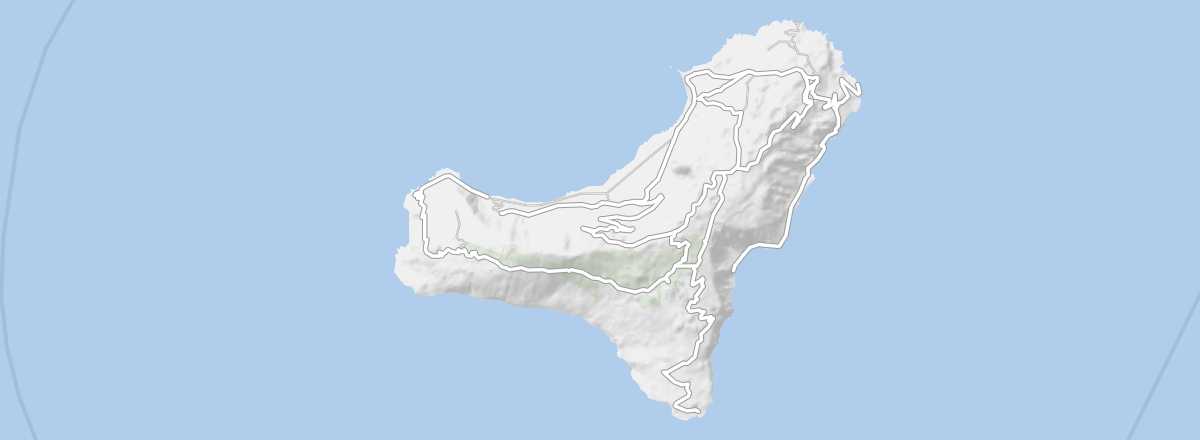 El Hierro
Open the interactive map
El Hierro
Open the interactive map
By sea
The most isolated and least populated of the Canary Islands has only a weekly service to Tenerife with the company Naviera Armas for a 2h45 sea crossing.
By air
El Hierro has flights only to Gran Canaria and Tenerife North operated by the airline Binter Canarias (associated with Nyasa).
El Hierro Airport
This is the island’s only airport, located a few kilometres from Valverde, the main town on the island.
- Name: Aeropuerto de El Hierro
- IATA code: VDE
- Website: Aeropuerto de El Hierro
- Hub: no
- Number of terminals: 1
- Passenger capacity/year:
- Passenger traffic: 152,700 (2012).
- Distance from city centre: 9 km from Valverde.
Services and transport
Inter-island distances
Approximate distances (km) from one island to another.
| El Hierro | Fuerteventura | Gran Canaria | La Gomera | La Palma | Lanzarote | Tenerife | |
|---|---|---|---|---|---|---|---|
| El Hierro | 350 | 200 | 70 | 80 | 420 | 120 | |
| Fuerteventura | 350 | 90 | 280 | 350 | 15 | 190 | |
| Gran Canaria | 200 | 90 | 150 | 200 | 180 | 60 | |
| La Gomera | 70 | 280 | 150 | 60 | 350 | 35 | |
| La Palma | 80 | 350 | 200 | 60 | 390 | 90 | |
| Lanzarote | 420 | 15 | 180 | 350 | 390 | 240 | |
| Tenerife | 120 | 190 | 60 | 35 | 90 | 240 |