last edited Dec 11, 2019
Getting to Fuerteventura
Location Map of Fuerteventura
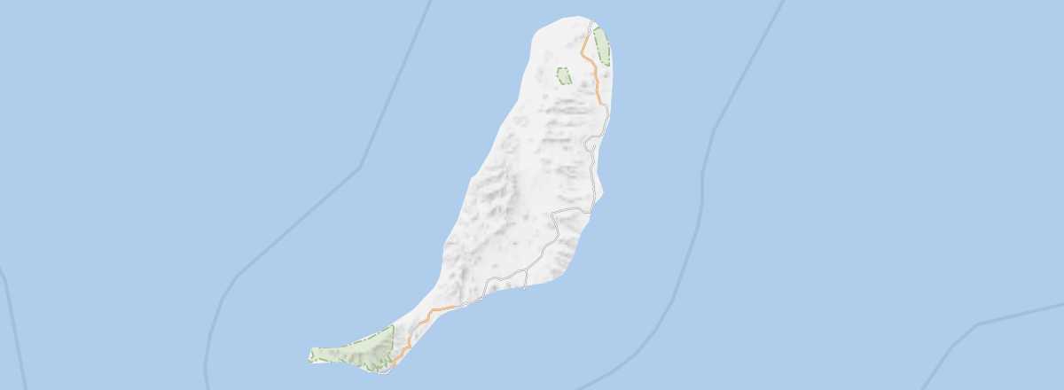 Fuerteventura
Open the interactive map
Fuerteventura
Open the interactive map
By sea
You can reach Fuerteventura by ferry from Gran Canaria and Lanzarote with the companies Fred Olsen, Naviera Armas and Trasmediterranea, plus Tenerife with Naviera Armas. The crossing from Fuerteventura (Corralejo) to Lanzarote (Playa Blanca) is the shortest of all and takes about half an hour, with numerous daily sailings.
By air
Nearly 5 million people pass through El Matorral Airport each year. It primarily serves charter flights, a large number of low-cost carriers, and some more or less regular flights for travelers coming mainly from Germany, the United Kingdom, Scandinavia, Italy, mainland Spain, and France. Internally, it also offers connections to Gran Canaria and Tenerife North operated by Binter/Naysa and CanaryFly.
Fuerteventura Airport
- Name: El Matorral
- IATA code: FUE
- Website: Fuerteventura Airport
- Hub: No
- Number of terminals: 1
- Passenger capacity/year:
- Passenger traffic: 4,764,600 (2014).
- Distance from city center: 5 km from Puerto del Rosario.
Services and transport
Inter-island distances
Approximate distances (km) between islands.
| El Hierro | Fuerteventura | Gran Canaria | La Gomera | La Palma | Lanzarote | Tenerife | |
|---|---|---|---|---|---|---|---|
| El Hierro | 350 | 200 | 70 | 80 | 420 | 120 | |
| Fuerteventura | 350 | 90 | 280 | 350 | 15 | 190 | |
| Gran Canaria | 200 | 90 | 150 | 200 | 180 | 60 | |
| La Gomera | 70 | 280 | 150 | 60 | 350 | 35 | |
| La Palma | 80 | 350 | 200 | 60 | 390 | 90 | |
| Lanzarote | 420 | 15 | 180 | 350 | 390 | 240 | |
| Tenerife | 120 | 190 | 60 | 35 | 90 | 240 |