★ 1 · last edited Jul 6, 2020
Igoumenitsa
Location verified location
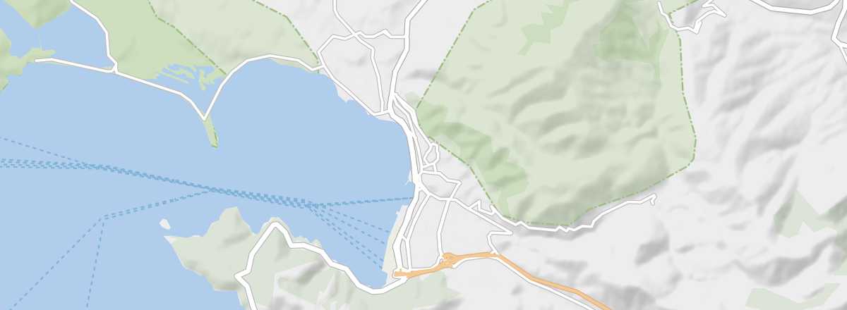 Igoumenitsa
Open the interactive map
Igoumenitsa
Open the interactive map
This port on the west coast, near Albania, is primarily known for its ferry connections to and from Italy. However, you can also enjoy its beaches or the nearby mountains of Epirus.
Overview of Igoumenitsa
This port on the west coast of Greece, near Albania, is primarily known for its ferry connections to and from Italy. However, you can also enjoy its beaches or the nearby mountains of Epirus.
Key facts
- Type of place: small town.
- Tourist interest: (worth a stop if you are in the area).
- Location:
- Distances:
- Local time: .
- Population: 9,820 inhabitants (2011).
- Area: 111.8 km².
- Altitude: sea level.
- Website: www.visitgreece.gr/igoumenitsa
History of Igoumenitsa
What to see and do in Igoumenitsa
In the surrounding area
Climate and weather in Igoumenitsa
The town has a Mediterranean climate with sunny, hot, and dry summers. Winters are mild, with occasional heavy rainfall and temperatures rarely dropping below 10°C. In terms of climate (and even visitor numbers), the best time to visit is spring or early autumn.
Sea temperature throughout the year
| Jan. | Feb. | Mar. | Apr. | May | Jun. | Jul. | Aug. | Sep. | Oct. | Nov. | Dec. | |
|---|---|---|---|---|---|---|---|---|---|---|---|---|
| Igoumenitsa | 14 | 13 | 14 | 15 | 17 | 21 | 24 | 25 | 23 | 21 | 17 | 15 |
Transport
Getting there
Getting around
Accommodation
Food
Useful addresses
- == Additional information