★ 1 · last edited Dec 11, 2019
Kungsleden
Location verified location
 Kungsleden
Open the interactive map
Kungsleden
Open the interactive map
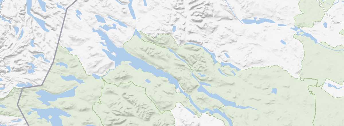
This is the name of a 440 km hiking trail/cross-country ski track in the west-central part of the country, running from Abisko (in the north) to Hemavan (in the south).
Overview of Kungsleden
This is the name of a 440 km hiking trail/cross-country ski track in the west-central part of Sweden, running from Abisko (in the north) to Hemavan (in the south).
Key details
- Type of place: trek or hike.
- Tourist interest: (worth a stop if you are in the area).
- Features:
- Location:
- Local time:
Kungsleden's environment
Wildlife and flora
What to see and do
In the surrounding area
Treks and hikes
Characteristics
- Endpoints: from Abisko (north) to Hemavan (south).
- Length: 440 km.
- Duration:
- Minimum altitude: 305 m.
- Maximum altitude: 1,150 m.
- Elevation gain:
- Difficulties:
- Best season: