★ 3 · last edited Jul 8, 2020
Mljet
Location verified location
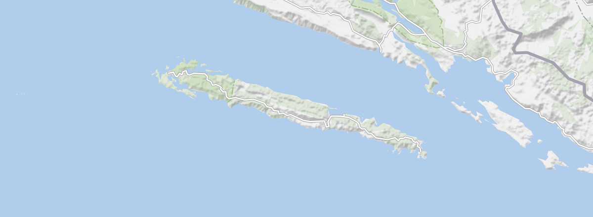 Mljet
Open the interactive map
Mljet
Open the interactive map
Between Korčula and Dubrovnik, Mljet offers a beautiful forested environment with part of the island designated as a national park, small villages, a charming monastery, beaches, and diving opportunities.
Overview of Mljet
Between Korčula and Dubrovnik, Mljet offers a beautiful forested environment with part of the island designated as a national park, small villages, a charming monastery, beaches, and diving opportunities.
Key facts
- Type of place: island.
- Tourist interest: (recommended).
- Location:
- Local time:
- Main locality: Babino Polje (270 inhabitants).
- Population: 1,088 inhabitants (2012).
- Area: 98.01 km².
- Highest point: Veliki Grad (514 m).
- Coastline: 135 km.
- Website: www.mljet.hr/
History of Mljet
Island environment
Wildlife and flora
Precautions
What to see and do in Mljet
In the surrounding area
Climate and weather in Mljet
The island has a Mediterranean climate with mild winters and dry, hot summers, though tempered slightly by the sea. Rainfall occurs mainly in autumn and winter, which is also a windy period. Late spring and early autumn are good times to visit, as is summer (though it can be crowded and prices rise) for those who prioritize beach time.
Sea temperature throughout the year
| Jan. | Feb. | Mar. | Apr. | May | Jun. | Jul. | Aug. | Sep. | Oct. | Nov. | Dec. | |
|---|---|---|---|---|---|---|---|---|---|---|---|---|
| Mljet | 14 | 13 | 14 | 15 | 18 | 21 | 23 | 24 | 22 | 20 | 17 | 15 |