★ 3 · last edited Dec 11, 2019
Öland
Location verified location
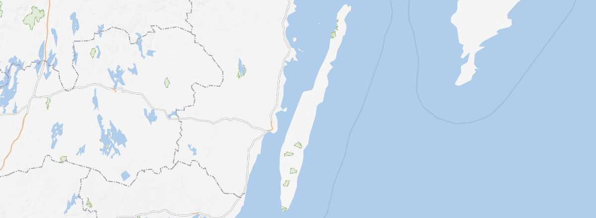 Öland
Open the interactive map
Öland
Open the interactive map
It is the second-largest island in Sweden. Visitors come mainly for its beaches and to cycle among the windmills and agricultural landscapes of the southern part of the island, which are part of the UNESCO World Heritage. The small historic town of Borgholm, with its ruined castle, is also well worth a visit.
Overview of Öland
It is the second-largest island in Sweden. Visitors come mainly for its beaches and to cycle among the windmills and agricultural landscapes of the southern part of the island, which are part of the UNESCO World Heritage. The small historic town of Borgholm, with its ruined castle, is also well worth a visit.
Key Facts
- Type of place: island.
- Tourist interest: (recommended).
- Location:
- Local time:
- Main locality: Färjestaden (5,000 inhabitants).
- Population: 25,846 inhabitants (2016).
- Area: 1,342 km².
- Density: 18.63 /km².
- Highest point: Högsrum (55 m).
- Coastline:
- Website: