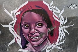
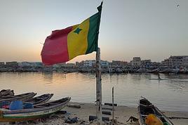
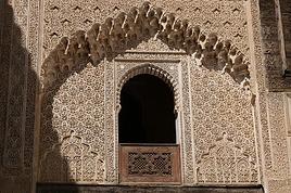
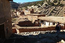
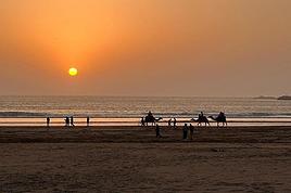
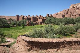
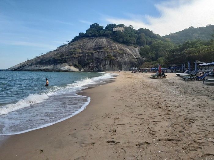
Your photos of Morocco
FR

Translated into English.

HA Hannahannah Globetrotter ·
I really liked them
DA Danouck Regular ·
Ah! The salt flats are so beautiful!
CZ Czamam Veteran ·
I can't upload photos—I have to resize them all .
HA Hannahannah Globetrotter ·
Too bad, are they too small? We're waiting for the desert photos. 😎
CZ Czamam Veteran ·
Hey there!

Yeah, they're only 1200 pixels and I need to resize them to 2000 😕. One or two is fine, but there are more than that!
PE Peloche ·
For Groschats who's looking for the name of the massif... Jbel Lekst

It's the same name as the main summit: Djbel Lekst!

Hike done in the massif: Day 5: 5th day and ascent of Jbel Leskt. http://www.martinpierre.fr/medias/files/29678244carte-aitmoussa-tafraout-pdf.pdf

On the Opentopomap map, there's the Lion's Head (location OK, but altitude not consistent with the Moroccan map 377bis): https://opentopomap.org/#map=13/29.78121/-8.97300

On the Moroccan map Jbel Leskst Est (377 bis - Ait Abdallah), I think it's the point at 1821m, above Tasga n-Doum (bottom left of the map): https://drive.google.com/open?id=1fcqbJuy3H3sheJ6-Jgd2Rnbovd_Xk3J2

Map of Djbel Lekst Ouest (and summit Djebel Lest) at 1:50,000 scale (377 Tanalt): https://drive.google.com/open?id=1GtD_o1bHBJzvSZML8o4LHjVxUfhhIxQX

Source of the Moroccan maps: https://jemecasseausoleil.blogspot.com/2017/06/cartes-du-maroc.html

Voilà!!
CA Casellego ·
Sources of the Oum Er-Rbia


CA Casellego ·
Oum-er_R'bia springs. Guest farm "Faska" to absolutely avoid, but farm stay "AÎSS" in M'Rirt is good. On the road and the Thursday souk in M'rirt.


CA Casellego ·
Bin el Ouidane. Guesthouse "Dar Eau Vive"


CA Casellego ·
Aït Bouguemez Valley.. Gîte "IMARIN"


CA Casellego ·
Aït Boualli Valley


AX Axelfl Regular ·
These springs are gorgeous. Which area are they in?
LE Levelo Veteran ·
Hi there,

Thanks so much, Gilles, for all these links! The last one you shared is really, really helpful 🙂. Great job on all your hikes. Did you see the cistern and the little mosque at the top of Lkest?

Y.
PE Peloche ·
At Jbel Lekst, I was there in 2016; I don’t remember seeing a cistern or a mosque. I just looked at my photos again: just a stake... why? Is all that up there now? It seemed a bit alpine at the end, on both sides.

Otherwise, the site jemecasseausoleil.com is really useful for mapping. I’d heard that all this came from a guy from the Moroccan IGN in Rabat who scanned all the maps and then put them up for sale online: true or not? To me, it seems possible...
AX Axelfl Regular ·
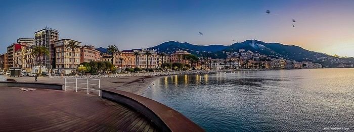
Tifnite , a small port still preserved.
GR Groschats Veteran ·
For the maps on the site you mentioned, they’re really for cartography experts since they’re older than I am. (44 years old.) James Cook said an old map was useless. 😛

Otherwise, OSM (just to name one example) is a much more useful site. OsmAnd, which uses its maps, has pulled way ahead of that old blog.
LE Levelo Veteran ·
They’re still useful on foot—the topography doesn’t change 🙂. What *does* change, though, are the muleteer routes marked on them. With new roads and tracks built everywhere, those routes are used less and sometimes become impassable. A piece of heritage that’s disappearing.

@Gilles: There must’ve been stone shelters when you passed through. The mosque is one of them. It’s a pilgrimage site. The cistern is hidden under slabs.
GR Groschats Veteran ·
I was expecting that answer...😛

Actually, yeah... the lay of the land does change... even if it's not by much, it does change. And when it comes to navigation, using maps that old is just for fun, not for actually getting around... Now, I get that some people might not be comfortable with modern tools, but you can't say a map that's 50 years old is the same as one that's a month old... or that taking notes on a blog is as precise as having the tool in your pocket with your exact location on the map—something that's invaluable for navigation.
HA Hannahannah Globetrotter ·
While waiting to take your 205 out for a spin.

https://carte-sortie-confinement.fr/
LE Levelo Veteran ·
We still use them to get our bearings... I’m talking about the ones Gilles posted. We hike without GPS—it’s a choice. We ask in the villages or to shepherds about trails we’re unsure of. What changes is what’s around the topographic base. In Morocco, that means new roads, new urbanization sometimes, new active mines, and if you’re lucky, a new pool 😉.

Similar discussions

You might also like